Lingya Ghat Waterfall Trek
Pune, Maharashtra
Opens without signal on this phone, with the map file and checklist. Saved for offline →
- Max altitude
- 660 m
- Days
- 1 day
- Distance
- 4 km
- Difficulty
- Easy
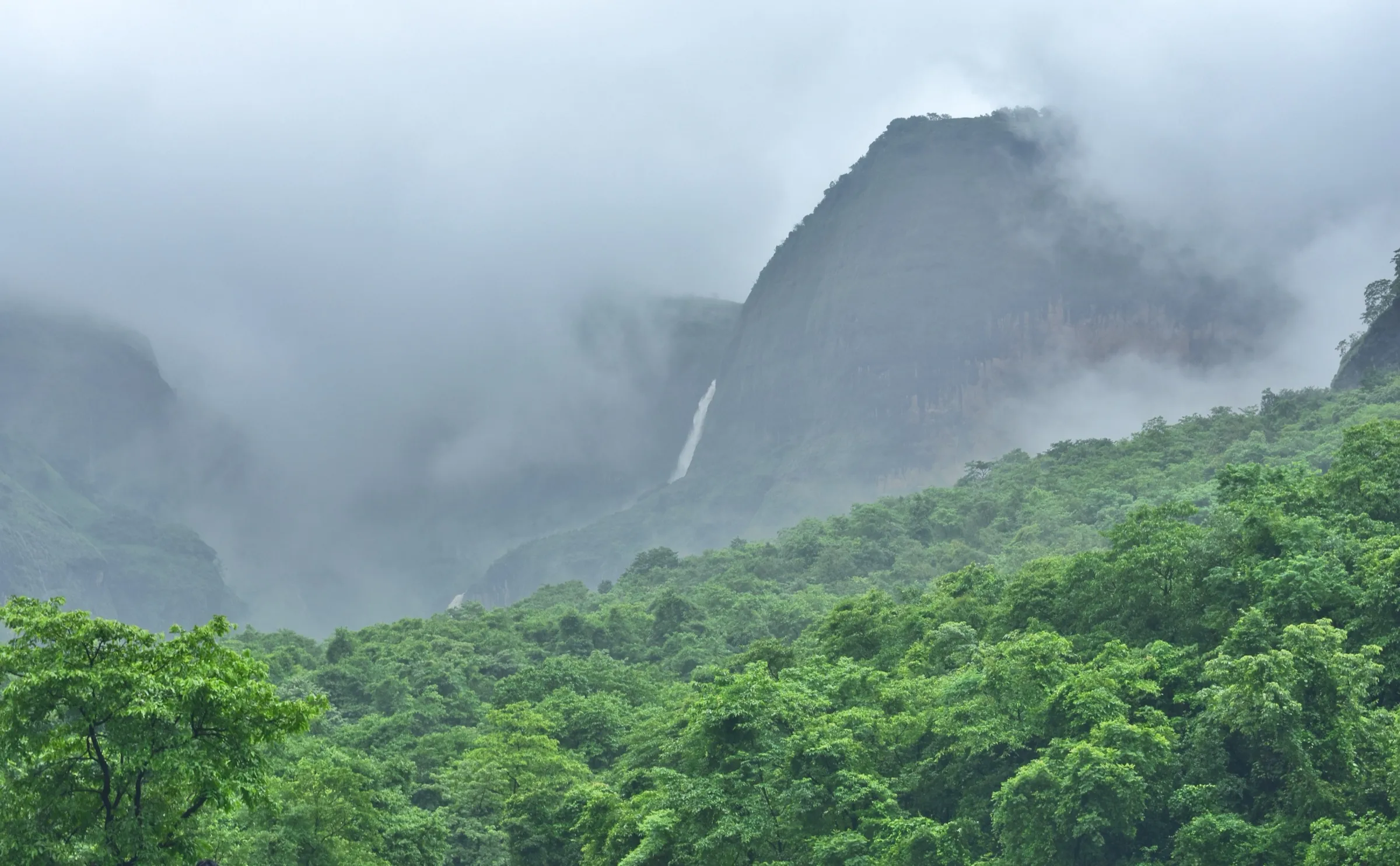
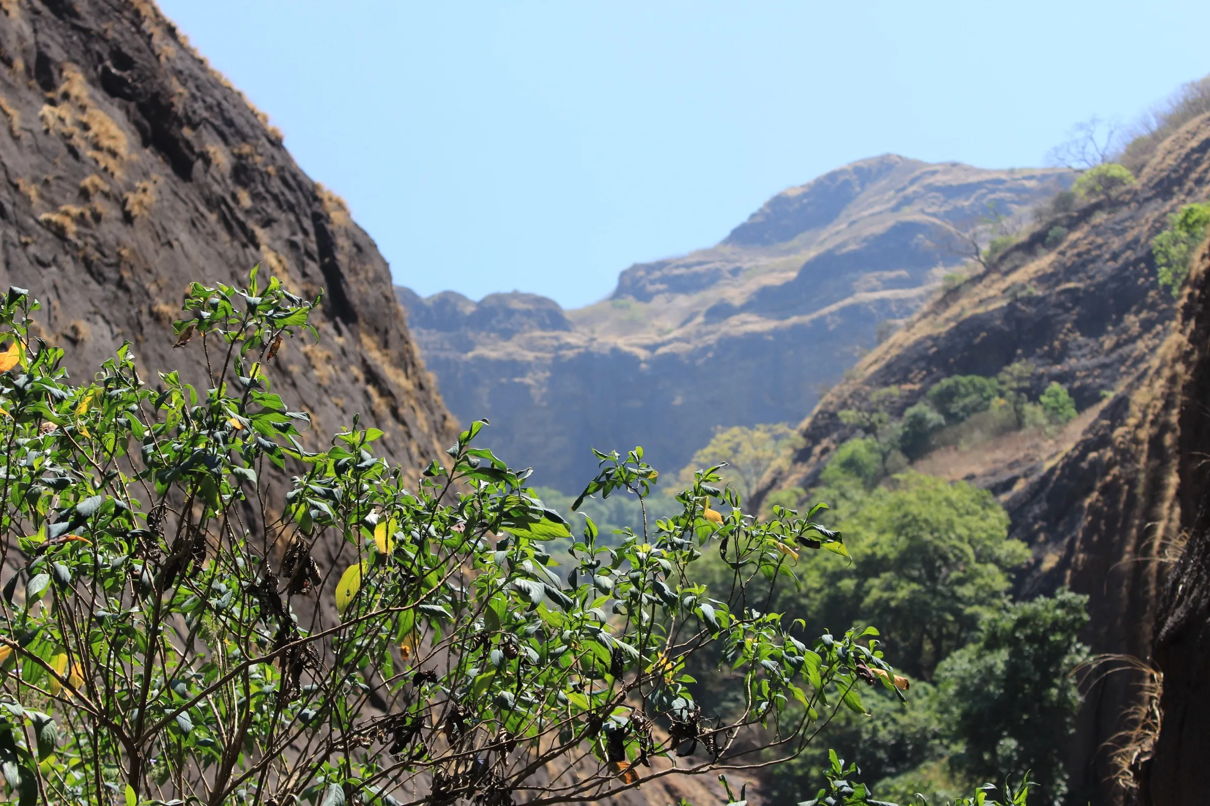
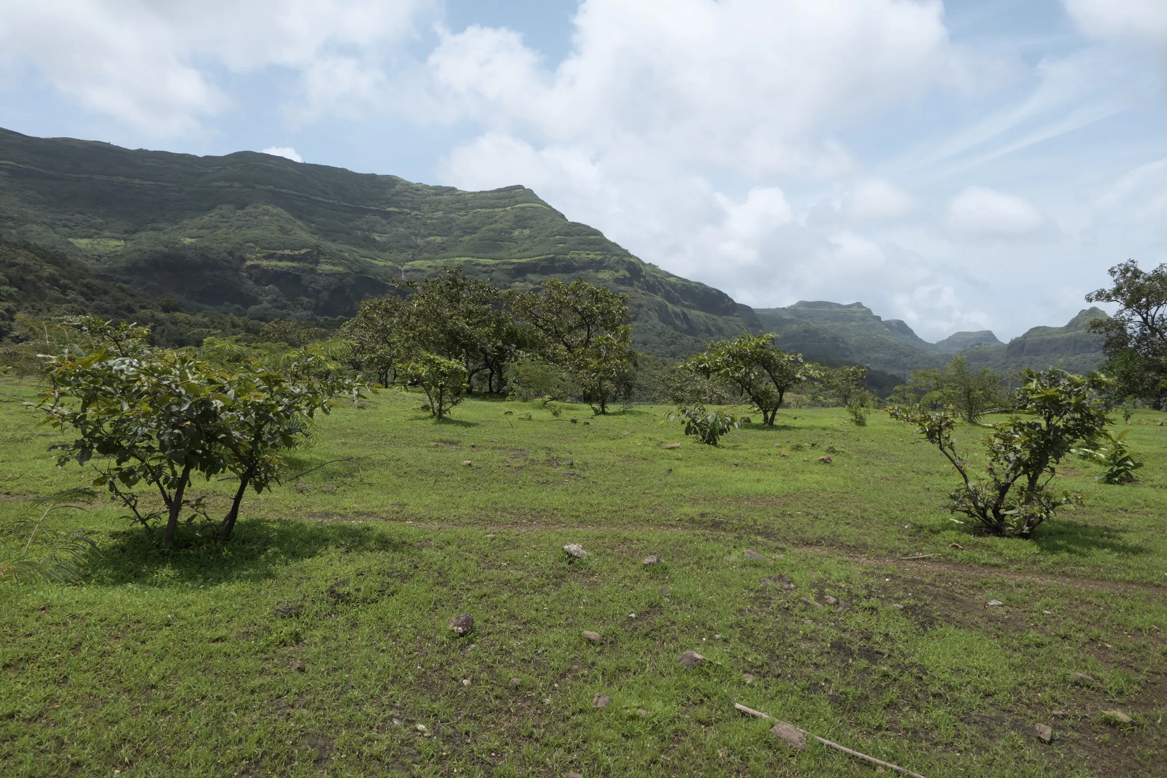
A short walk of about 4 km return on an almost level plateau from Dhamanohol to the top of Lingya Ghat, through paddy fields, streams and forest; the only effort is wet, slippery rock and mud near the streams and the waterfall in the monsoon.
Photos
On the trail
The route
Day by day
Day 1 · highest point
Dhamanohol → Dhamanohol (via Lingya Ghat waterfalls)
656 m → 660 m → 656 m
Ups and downs
Altitude profile
Where it is
Map
Trailhead and high point only — not a recorded track. Use it with a proper map.
Weather
Next 5 days on the trail
Live forecast for the trailhead and the high point. Mountain weather changes fast — check again on the morning you start.
Trailhead · Dhamanohol
at 656 mLoading forecast…
High point · Lingya Ghat ghatmatha (top of the ghat, above the waterfalls)
at 660 mLoading forecast…
Each day: high / low °C · rain mm and chance · snow cm · wind km/h
Weather data: Open-Meteo.comModel forecast, not an official warning. For alerts follow IMD and the local administration.
Plan the trip
How to reach
- Trailhead
- Dhamanohol (nearest town: Lavasa)
- Nearest railway
- Pune Junction, about 75 km
- Nearest airport
- Pune International Airport
- By road
- Pune (about 70-75 km via Chandani Chowk, Pirangut and Lavasa; Dhamanohol is about 13.5 km beyond Lavasa city); Mumbai (via Pune, then as above; there is no direct bus)
- Drive
- About 3 h from Pune
Plan the trip
Permits and fees
We could not confirm the current permit rules and fees from an official source. Check with the local forest department or tourism office before you go.
Plan the trip
Cost
Self-guided
₹400–1,200
With an operator
₹1,350–1,680
Per person, ex-Pune. Operators' published prices: Trekfit Adventures ₹1,350 from Pune (bus, breakfast, lunch, local guide and entry charges); Treks and Trails India ₹1,399 from Pune (non-AC transport, breakfast and lunch); Foliage Outdoors ₹1,600 plus 5% GST (bus, meals, group leaders). Self-guided is an estimate: shared fuel or bus to Lavasa and a taxi on to Dhamanohol, a local guide from the village, and a village meal.
Gear
Top picks for this trek
The gear that matters most on this route, chosen from its altitude, season and risks.
 Ad · affiliate link
 Ad · affiliate link
 Ad · affiliate link
 Ad · affiliate link
 Ad · affiliate link
- Ad · affiliate link
 Ad · affiliate link
 Ad · affiliate link
Store buttons open a search on that store, not a product we picked. As an Amazon Associate we earn from qualifying purchases. Photos show the kind of item, not a specific product. Affiliate disclosure
Packing checklist
Matched to this trek: altitude, season, days and the risks on the route.
Packed 0 of 21
Monsoon months (Jul–Sep): pack everything in plastic or a dry bag and wear shoes with good grip.
Tick each item as it goes in the bag.
Know before you go
Good to know
- Mobile network
- Not confirmed by our sources; expect weak or no signal beyond Lavasa and on the ghat edge.
- Last ATM
- Lavasa city; carry cash for the village guide and meals.
- Nearest hospital
- Paud or Pirangut for first care; Pune for serious cases.
- Water
- Streams cross the trail in the monsoon; there are no shops on the trail. Carry 2-3 litres and treat any stream water.
Highlights
- A waterfall of about 40-70 feet (operators differ) that bursts out of a narrow rock crevice at the edge of the Sahyadri escarpment
- The Lingya pinnacle, a tall natural rock column that the villagers of Dhamanohol worship
- An easy monsoon walk past paddy fields, streams and bamboo forest from Dhamanohol village
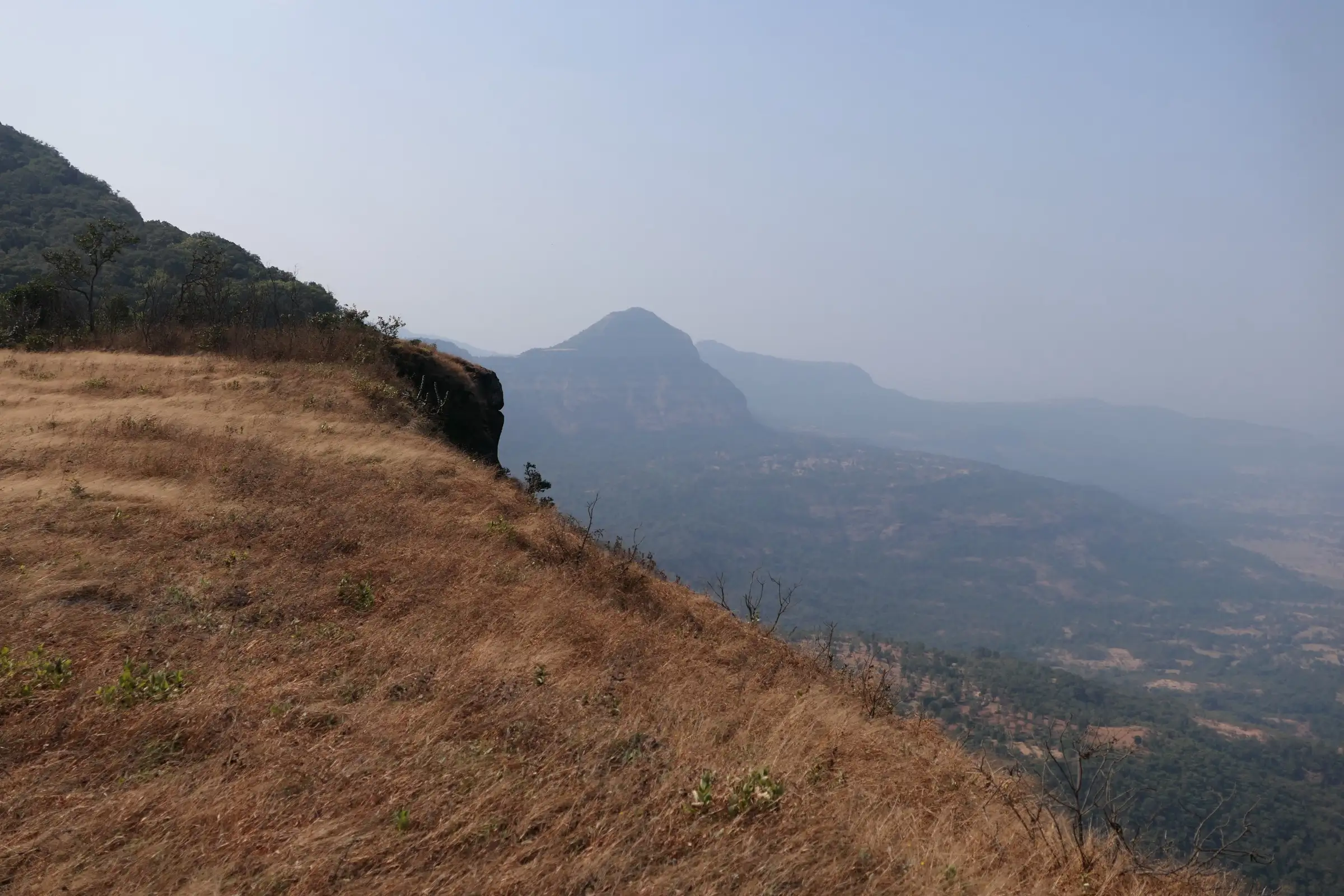
- Views from the ghatmatha down the Lingya Ghat towards the Konkan and the Kurdugad plateau
- The drive through Lavasa and along the Varasgaon backwaters
Risks
- Monsoon rocks, mud and stream crossings are slippery; keep away from the edge of the waterfall and the ghat drop, and do not enter the pool or stream when water is rising.
- Trail forks are confusing in rain and mist; operators recommend taking a local guide from Dhamanohol.
- Leeches are common on the forest stretch after rain; wear long socks.
- Pune district has issued monsoon prohibitory orders (Section 163, BNSS) for waterfalls and picnic spots in some years, e.g. July 2024 across Mulshi and Velhe talukas. We found no 2026 order naming Lingya Ghat (the July 2026 Lonavala order was revoked on 16 July), but check the Pune Collector's current notice before going in July-August.
- The Lingya pinnacle is a place of worship for the villagers; do not climb it.
- The road beyond Lavasa has potholes and gravel; allow extra time in heavy rain.
Know before you go
Questions
How long is the Lingya Ghat waterfall trek?
About 3-4 km return from Dhamanohol village, which most groups walk in about an hour each way. One trek site quotes about 8 km and 5-6 hours, but the mapped path from Dhamanohol to the top of Lingya Ghat is under 2 km one way.
Where is Lingya Ghat and how do I reach it?
The base village is Dhamanohol, about 13.5 km beyond Lavasa city near the western end of Varasgaon dam, about 70-75 km from Pune via Chandani Chowk, Pirangut and Lavasa. Buses from Swargate run to Lavasa early in the morning but are infrequent; take a taxi from Lavasa to Dhamanohol, or join an operator's bus from Pune.
When is the best time to visit Lingya Ghat waterfall?
July to September, when the waterfalls are in full flow. Operators also run trips into early October. Outside the monsoon the falls dry up.
Is a guide needed for the Lingya Ghat trek?
Operators recommend taking a local guide from Dhamanohol, because some sections and forks are confusing, especially in rain.
Is Lingya Ghat good for beginners and families?
Yes. Operators rate it easy to easy-moderate and run it for beginners, families and children; wear shoes with good grip for the wet rock.
In an emergency
Save these numbers before you lose signal. Tap to call.
- 112All emergenciesIndia’s single emergency number — works in every state
- 108Ambulance
- 1077District disaster control room
You are in
District: PuneMaharashtra
- Nearest hospital
- Paud or Pirangut for first care; Pune for serious cases.
- Last ATM
- Lavasa city; carry cash for the village guide and meals.
- Phone network
- Not confirmed by our sources; expect weak or no signal beyond Lavasa and on the ghat edge.
Before you set off
- Tell someone your route and when you will be back.
- Carry a charged phone and a power bank.
- Download an offline map of the route.
- Turn back if the weather turns bad — the mountain will wait.
Questions about Lingya Ghat Waterfall
No questions yet. Ask something and trekkers who have done it can answer.
Share your trek photo with #TreksAndTrails
I trekked this
Did Lingya Ghat Waterfall look different from this page? Tell us what changed and we will check it.
Where this comes from
Sources
Last reviewed:
- Lingya Ghat Waterfall Trek — Treks and Trails India
- Lingya Waterfall Trek | Pune — Trekfit Adventures
- Lingya Ghat Waterfall Trek: Monsoon Trail in Maharashtra — TrekUp India
- Lingya Waterfall Exploration — Foliage Outdoors
- SRTM 30 m elevation at Dhamanohol and at the ghat end of the OpenStreetMap path 'route to lingya ghat nisanicha ghat' (way 1412535536) — OpenTopoData (NASA SRTM 30 m)
Photos: Dinesh Valke, CC BY-SA 2.0; Dinesh Valke, CC BY-SA 2.0