Katraj to Sinhagad Trek
Pune, Maharashtra
Opens without signal on this phone, with the map file and checklist. Saved for offline →
- Max altitude
- 1,131 m
- Days
- 1 day
- Distance
- 16 km
- Difficulty
- Moderate
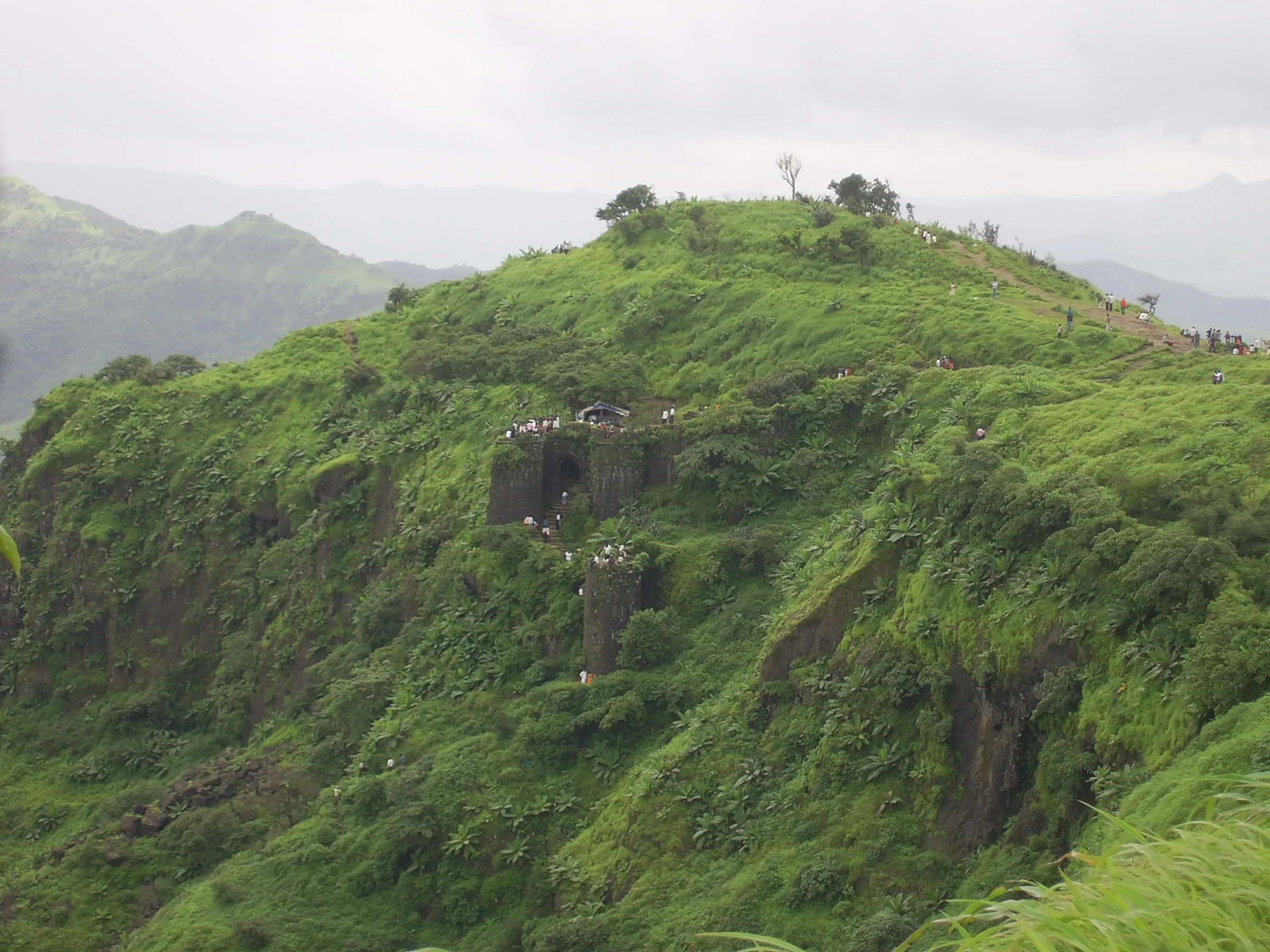
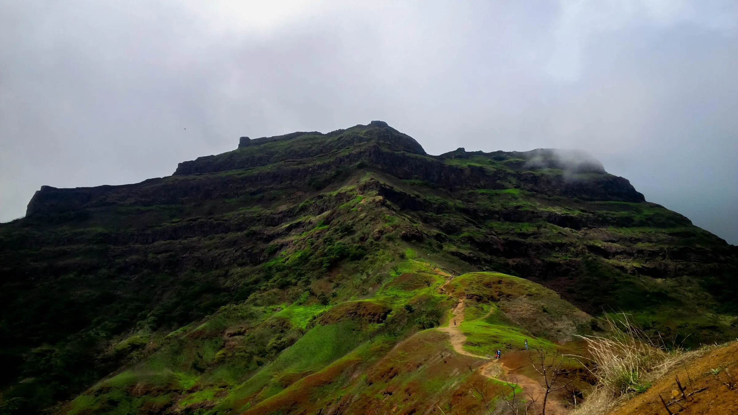
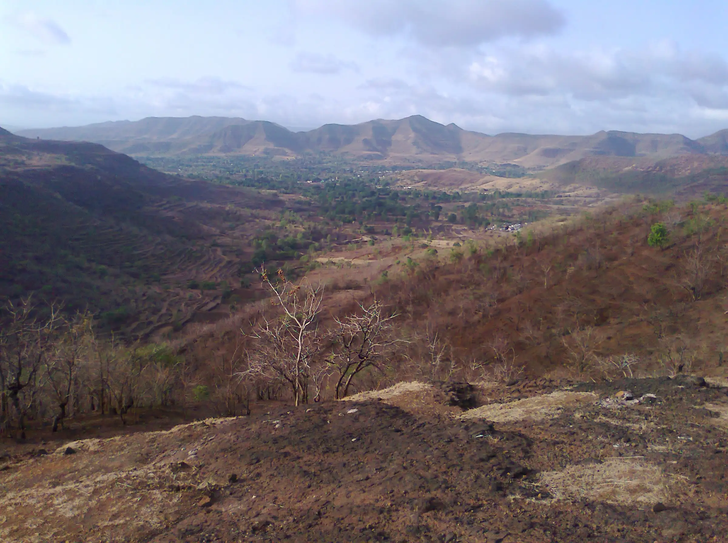
Operators grade it medium but stress that it needs high endurance: about 16 km of continuous ups and downs over 13-17 hills on the Sinhagad-Katraj ridge, usually walked through the night in 7-8 hours on rocky, uneven trail with no water on the way.
Photos
On the trail
The route
Day by day
Day 1 · highest point
Old Katraj Tunnel top → Sinhagad ghat road (road head below Sinhagad Fort)
979 m → 1,131 m → 1,015 m
Ups and downs
Altitude profile
Where it is
Map
Trailhead and high point only — not a recorded track. Use it with a proper map.
Weather
Next 5 days on the trail
Live forecast for the trailhead and the high point. Mountain weather changes fast — check again on the morning you start.
Trailhead · Old Katraj Tunnel top
at 979 mLoading forecast…
High point · Ridge summit near Zorali Shikhar, first big hill west of the old Katraj tunnel
at 1,131 mLoading forecast…
Each day: high / low °C · rain mm and chance · snow cm · wind km/h
Weather data: Open-Meteo.comModel forecast, not an official warning. For alerts follow IMD and the local administration.
Plan the trip
How to reach
- Trailhead
- Old Katraj Tunnel top (nearest town: Pune)
- Nearest railway
- Pune Junction
- Nearest airport
- Pune Airport (Lohegaon)
- By road
- Pune city to Katraj bus depot by PMPML bus or auto, then a local jeep or bus to the old Katraj tunnel (about 30 minutes); Return from the Sinhagad end by local jeep or PMPML bus to Pune; Mumbai (via Pune; about 4 hours by road)
- Drive
- About 0.5 h from Pune
Plan the trip
Permits and fees
We could not confirm the current permit rules and fees from an official source. Check with the local forest department or tourism office before you go.
Plan the trip
Cost
Self-guided
₹200–600
With an operator
₹699–1,499
Per person, ex-Pune (Katraj). Guided: Treks and Trails India (treksandtrails.org) lists ₹799 (₹699 in its FAQ), including jeep to the tunnel, jeep from the end point and a breakfast; Adventure Club Pune lists from ₹999 (other options on its page up to ₹1,499), including Pune transport, breakfast and the Sinhagad forest entry. Self-guided is an estimate: city bus to Katraj, a shared jeep or bus back from the Sinhagad side, and your own food and 3-4 litres of water.
Gear
Top picks for this trek
The gear that matters most on this route, chosen from its altitude, season and risks.
 Ad · affiliate link
 Ad · affiliate link
 Ad · affiliate link
 Ad · affiliate link
- Ad · affiliate link
 Ad · affiliate link
 Ad · affiliate link
 Ad · affiliate link
Store buttons open a search on that store, not a product we picked. As an Amazon Associate we earn from qualifying purchases. Photos show the kind of item, not a specific product. Affiliate disclosure
Packing checklist
Matched to this trek: altitude, season, days and the risks on the route.
Packed 0 of 20
Monsoon months (Jul–Sep): pack everything in plastic or a dry bag and wear shoes with good grip.
Tick each item as it goes in the bag.
Know before you go
Good to know
- Mobile network
- Not stated by our sources; the ridge overlooks Pune city, but carry a charged phone and power bank and do not rely on signal in the valleys.
- Last ATM
- Katraj (Pune city), near the Katraj bus depot meeting point
- Nearest hospital
- Hospitals in Katraj and Dhankawadi, Pune, a few kilometres from the start; injured trekkers on the ridge have needed a carry-out rescue by mountaineers
- Water
- None on the route (Treks and Trails India). Carry at least 2-3 litres; reviewers advise about 4 litres.
Highlights
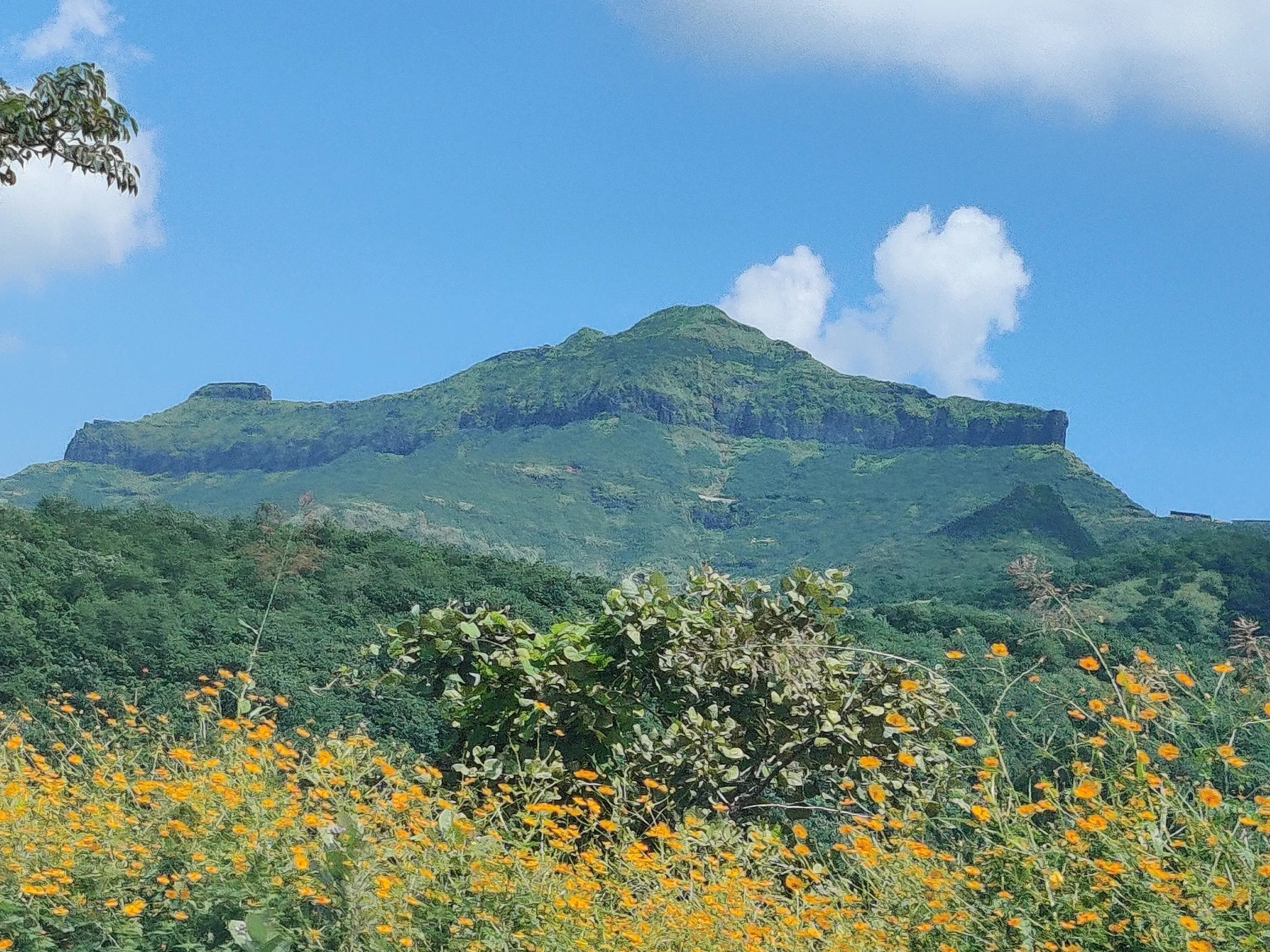
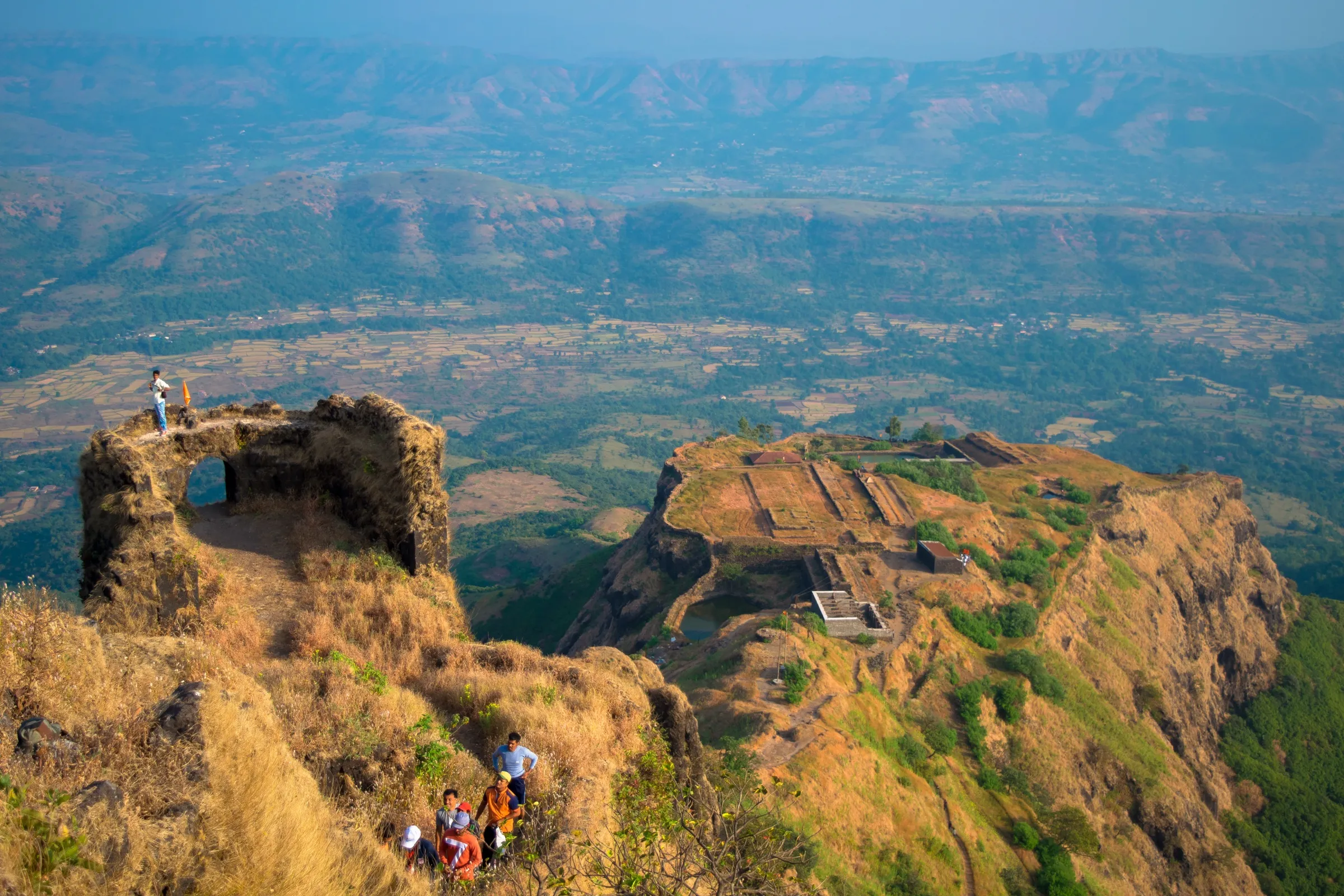
- Pune's classic endurance ridge walk: about 16 km and 13-17 hills on one continuous Sahyadri ridge from the old Katraj tunnel towards Sinhagad
- Night trek under the stars with the lights of Pune city spread out below
- Sunrise over the Sahyadri hills as you reach the Sinhagad end, with the option to go up Sinhagad Fort afterwards
- The same ridge hosts the annual K2S Katraj to Sinhgad Monsoon Adventure Race (21 km, 13 hills)
Risks
- Long, tiring night walk of 7-8 hours with repeated steep climbs and descents on loose rock; operators say it needs high endurance.
- Rocky patches cause injuries: in one reported case a trekker fractured his leg near the fifth checkpoint and had to be carried out by mountaineers before dawn (Deccan Herald).
- No water, food or toilets on the route. Carry 2-4 litres of water, packed dinner and electrolytes.
- Night navigation: the ridge has many side trails. Go with a group or someone who knows the route, and carry a proper torch with spare batteries; operators do not allow phone torches.
- Monsoon (June-September): slippery rock and mud, fog and heavy rain. The Pune Forest Division closes Sinhagad on IMD red-alert or landslide days (single-day orders, e.g. 1-2 August 2026); check the latest notice before a monsoon trek.
- Little shade; avoid hot afternoons from March to May.
Know before you go
Questions
How long is the Katraj to Sinhagad (K2S) trek?
Operators quote about 16-16.5 km from the old Katraj tunnel top to the Sinhagad end point, and walkers' reviews say about 14 km. It usually takes 7-8 hours, mostly walked through the night. The K2S trail race uses a longer 21 km course.
Where does the K2S trek start and end?
It starts on top of the old Katraj tunnel on the Pune-Satara road and follows the ridge west to the road head below Sinhagad Fort. Some groups stop there; others continue up to the fort. Treks and Trails India says the fort visit is optional and not part of its trek.
How difficult is the K2S trek?
Operators rate it medium in difficulty but high in endurance: you cross 13-17 hills with steep ups and downs on rocky ground, at night. It is not a good first trek for someone who has never walked 15 km.
Is there water or food on the K2S route?
No. There are no water sources, food stalls or toilets on the trail, so carry 2-4 litres of water, a packed dinner and snacks.
How do I get back to Pune after the K2S trek?
From the Sinhagad end, groups take a local jeep down to the base village and then a PMPML bus or other transport back to Pune.
In an emergency
Save these numbers before you lose signal. Tap to call.
- 112All emergenciesIndia’s single emergency number — works in every state
- 108Ambulance
- 1077District disaster control room
You are in
District: PuneMaharashtra
- Nearest hospital
- Hospitals in Katraj and Dhankawadi, Pune, a few kilometres from the start; injured trekkers on the ridge have needed a carry-out rescue by mountaineers
- Last ATM
- Katraj (Pune city), near the Katraj bus depot meeting point
- Phone network
- Not stated by our sources; the ridge overlooks Pune city, but carry a charged phone and power bank and do not rely on signal in the valleys.
Before you set off
- Tell someone your route and when you will be back.
- Carry a charged phone and a power bank.
- Download an offline map of the route.
- Turn back if the weather turns bad — the mountain will wait.
Questions about Katraj to Sinhagad
No questions yet. Ask something and trekkers who have done it can answer.
Share your trek photo with #TreksAndTrails
I trekked this
Did Katraj to Sinhagad look different from this page? Tell us what changed and we will check it.
Where this comes from
Sources
Last reviewed:
- Katraj to Sinhagad Trek — Treks and Trails India (treksandtrails.org)
- Katraj to Sinhgad Night Trek — Adventure Club Pune
- K2S Katraj To Sinhgad Monsoon Adventure Race 2.0 2025 — ITRA (race listing by the K2S race organisers)
- K2S Katraj to Sinhgad Monsoon Adventure Race Returns on August 8 With 21-km and 7-km Trail Categories — Punekar News
- Katraj - Sinhagad (K2S) Trek Path — Wanderlog (visitor reviews)
- Mountaineers come together for daring rescue of injured K2S trekker — Deccan Herald
- Pune: Sinhagad Fort Closed to Tourists on August 1 and 2 Amid Red Alert and Landslide Risk — Punekar News
- Katraj Sinhagad Trek (path) — OpenStreetMap contributors
Photos: Abhijeet Safai, CC BY-SA 3.0; Abhijeet Safai, CC BY-SA 3.0; Abhijeet Safai, CC BY-SA 3.0; Abhijeet Safai, CC BY-SA 3.0