Sari Pass Trek
Kangra (Chhota Bhangal) and Kullu, Himachal Pradesh
Opens without signal on this phone, with the map file and checklist. Saved for offline →
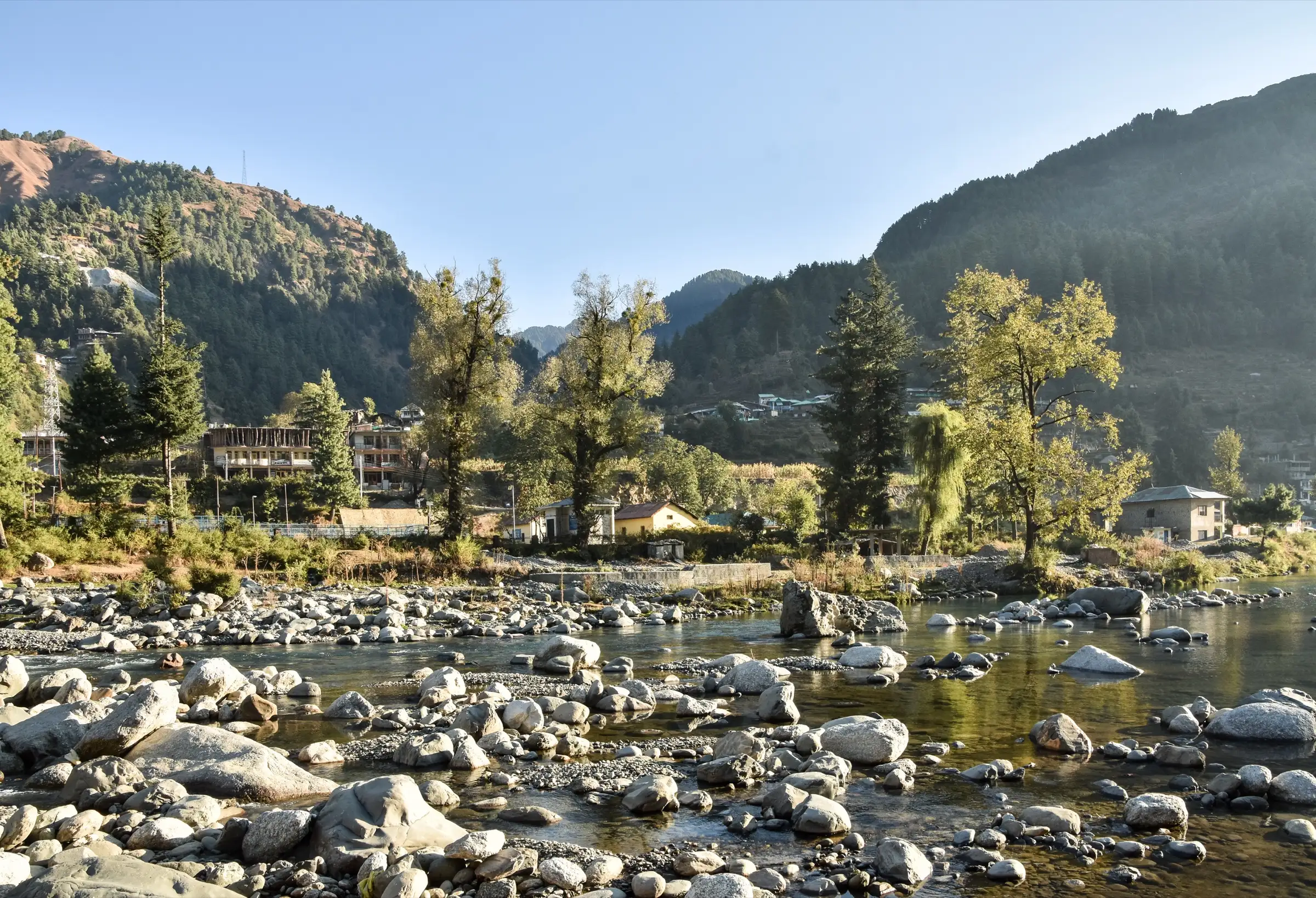
- Max altitude
- 3,720 m
- Days
- 4 days
- Distance
- 25 km
- Difficulty
- Moderate
Short trek, but day 2 climbs about 1,100 m from Lohardi to Lahesh and pass day crosses a 3,720 m ridge that operators describe as strenuous and snow-covered in winter; Bikat rates it easy, Himalayan Hikers moderate.
Photos
On the trail
The route
Day by day
Day 1
Kullu → Lohardi (drive via Barot)
1,220 m → 2,100 m
Day 2
Lohardi → Lahesh
2,100 m → 3,200 m
Day 3 · highest point
Lahesh → Gorudugh (via Sari Pass)
3,200 m → 3,720 m → 2,600 m
Day 4
Gorudugh → Kadingcha (drive to Kullu)
2,600 m → 2,200 m
Ups and downs
Altitude profile
Where it is
Map
Trailhead and high point only — not a recorded track. Use it with a proper map.
Weather
Next 5 days on the trail
Live forecast for the trailhead and the high point. Mountain weather changes fast — check again on the morning you start.
Trailhead · Lohardi
at 2,100 mLoading forecast…
High point · Sari Pass (Sari Galu)
at 3,720 mLoading forecast…
Each day: high / low °C · rain mm and chance · snow cm · wind km/h
Weather data: Open-Meteo.comModel forecast, not an official warning. For alerts follow IMD and the local administration.
Plan the trip
How to reach
- Trailhead
- Lohardi (nearest town: Barot)
- Nearest railway
- Joginder Nagar (narrow gauge); Pathankot or Kiratpur Sahib for broad gauge
- Nearest airport
- Kullu-Manali Airport, Bhuntar
- By road
- Kullu (about 90 km to the Lohardi roadhead via Barot, per Bikat); Lag Valley roadhead at Kadingcha, about 20 km from Kullu, at the end
- Drive
- About 4 h from Kullu
Plan the trip
Permits and fees
We could not confirm the current permit rules and fees from an official source. Check with the local forest department or tourism office before you go.
Plan the trip
Cost
Self-guided
₹4,000–8,000
With an operator
₹9,000–15,000
Per person, ex-Kullu. Estimates only: Bikat Adventures lists the trek at 'On Request' and Himalayan Hikers publishes no price (October 2026), so no operator price could be confirmed. The guided range is typical for 4-day Himachal camping treks; self-guided covers transport to Lohardi, a local guide and porter, tent and food hire, and forest fees.
Gear
Top picks for this trek
The gear that matters most on this route, chosen from its altitude, season and risks.
 Ad · affiliate link
 Ad · affiliate link
 Ad · affiliate link
 Ad · affiliate link
 Ad · affiliate link
 Ad · affiliate link
 Ad · affiliate link
 Ad · affiliate link
Store buttons open a search on that store, not a product we picked. As an Amazon Associate we earn from qualifying purchases. Photos show the kind of item, not a specific product. Affiliate disclosure
Packing checklist
Matched to this trek: altitude, season, days and the risks on the route.
Packed 0 of 31
Snow on the trail in Dec–Feb: microspikes, gaiters and a warm layer are not optional.
Tick each item as it goes in the bag.
Know before you go
Good to know
- Mobile network
- Not confirmed by our sources. Expect signal around Barot and Lohardi at best and none at Lahesh or on the pass.
- Last ATM
- Not confirmed; carry cash from Kullu or Joginder Nagar.
- Nearest hospital
- Not confirmed locally; Regional Hospital Kullu for serious cases.
- Water
- Streams on the forest trail to Lahesh and down the Lag Valley (Bikat and Himalayan Hikers mention streams and rivulets); in winter water at Lahesh may have to be melted from snow. Treat all water.
Highlights
- One of the few passes linking the Uhl Valley of Kangra (Chhota Bhangal) with the Lag Valley of lower Kullu
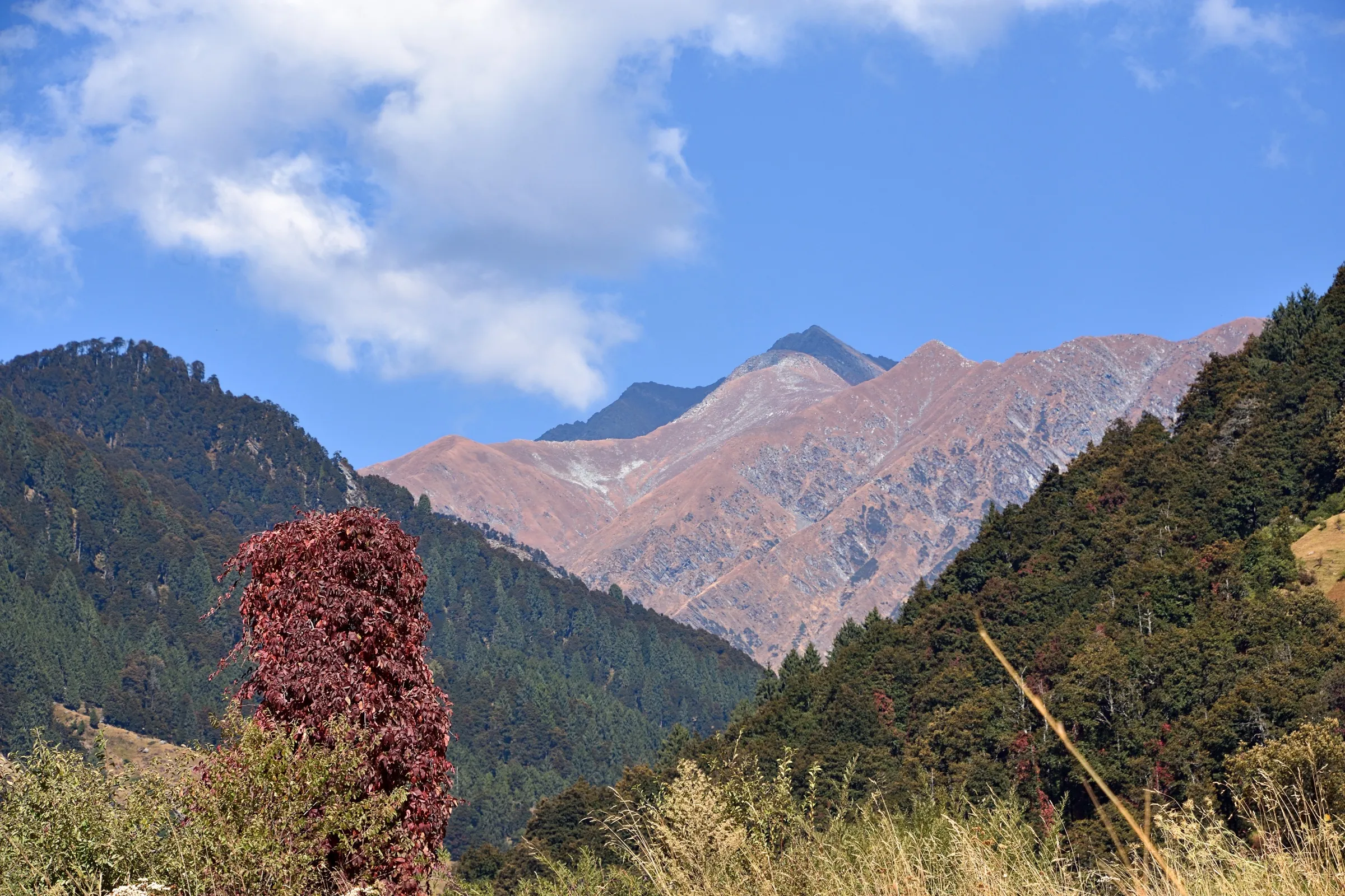
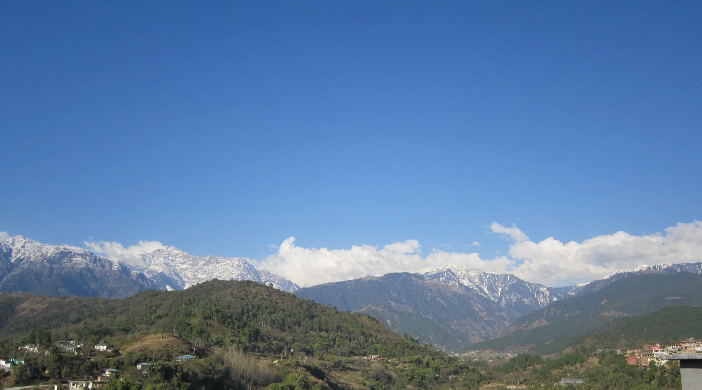
- Views from the pass of the Dhauladhar to the west, the Pir Panjal and Kalihani Pass to the north and the Lahaul-Spiti ranges to the east (Himalayan Hikers)
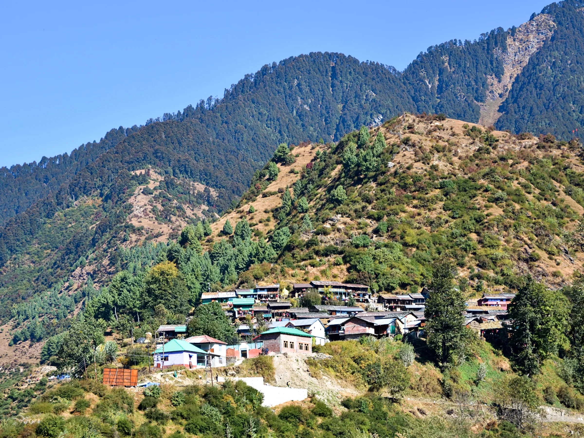
- Drive past Barot, the Uhl reservoir and its trout farms to the roadhead at Lohardi
- Oak and rhododendron forest, shepherd camps and summer grazing meadows below the pass
- Dainsar, a sacred glacial lake, lies to the north on the same ridge
Risks
- Kangra: on 6 January 2026 the Kangra District Disaster Management Authority banned trekking above 3,000 m until further notice (PTI), and trekkers must register at Kangra check posts; the climb from Lohardi to the pass is above that height. We found no order lifting it — confirm with the Kangra district administration before you go.
- Operators say the trek is best done in winter when the pass is buried in snow; a winter crossing of a 3,720 m ridge needs microspikes or crampons, gaiters and a guide who knows the route.
- Day 2 gains about 1,100 m in one day, so altitude sickness is possible for people arriving straight from the plains.
- There is no road or confirmed mobile signal between Lohardi and the Lag Valley roadhead; evacuation is on foot.
- Monsoon rain (July-August) makes forest trails slippery and can block the Barot and Lag Valley roads with landslides.
- Very little current information exists on this route; departures appear rare, so confirm the trail condition with a local guide in Barot or Lohardi before going.
Know before you go
Questions
Where is Sari Pass and where does the trek start?
Sari Pass (locally Sari Galu, about 3,720 m) is on the ridge between the Uhl Valley in Kangra's Chhota Bhangal area and the Lag Valley of Kullu. Operators start from Kullu, drive about 90 km via Barot to Lohardi, and finish at Kadingcha in the Lag Valley, about 20 km from Kullu.
How long and how difficult is the Sari Pass trek?
Operators run it as a 4-day, about 25 km trek: Lohardi to Lahesh (10 km), over the pass to Gorudugh (9 km) and down to Kadingcha (6 km). Bikat Adventures rates it easy; Himalayan Hikers rates it moderate and asks for gear for sub-zero temperatures.
What is the best time for Sari Pass?
Bikat Adventures and Himalayan Hikers both say it is best done in winter when the pass lies under thick snow; Himalayan Hikers also lists it as possible throughout the year. Avoid the July-August monsoon, and go with a guide in snow.
Do I need a permit for Sari Pass?
Himalayan Hikers includes a forest permit and entrance fee in its package, but we found no official fee. Self-guided trekkers should ask at the forest office in Barot or Kullu before camping.
In an emergency
Save these numbers before you lose signal. Tap to call.
- 112All emergenciesIndia’s single emergency number — works in every state
- 108Ambulance
- 1077District disaster control room
You are in
District: Kangra (Chhota Bhangal) and KulluHimachal Pradesh
- Nearest hospital
- Not confirmed locally; Regional Hospital Kullu for serious cases.
- Last ATM
- Not confirmed; carry cash from Kullu or Joginder Nagar.
- Phone network
- Not confirmed by our sources. Expect signal around Barot and Lohardi at best and none at Lahesh or on the pass.
Before you set off
- Tell someone your route and when you will be back.
- Carry a charged phone and a power bank.
- Download an offline map of the route.
- Turn back if the weather turns bad — the mountain will wait.
Questions about Sari Pass
No questions yet. Ask something and trekkers who have done it can answer.
Share your trek photo with #TreksAndTrails
I trekked this
Did Sari Pass look different from this page? Tell us what changed and we will check it.
Where this comes from
Sources
Last reviewed:
- Sari Pass Trek - Bikat Adventures — Bikat Adventures
- Sari Pass Trek 2026 - Complete itinerary, Costs, Route, best time, Safety — Himalayan Hikers
- Kullu Chhota Bhangal Sari Pass Trek (White Land Adventure & Tours) — White Land Adventure & Tours
- Sari Pass Trek, Bir to Solang (Akash Adventures & Tours) — Akash Adventures & Tours
- Himachal: Kangra administration bans trekking above 3,000 metres (PTI, 6 Jan 2026) — The Week (PTI)
Photos: Timothy A. Gonsalves, CC BY-SA 4.0; Timothy A. Gonsalves, CC BY-SA 4.0