Jalsu Pass Trek
Kangra (start) and Chamba (finish), Himachal Pradesh
Opens without signal on this phone, with the map file and checklist. Saved for offline →
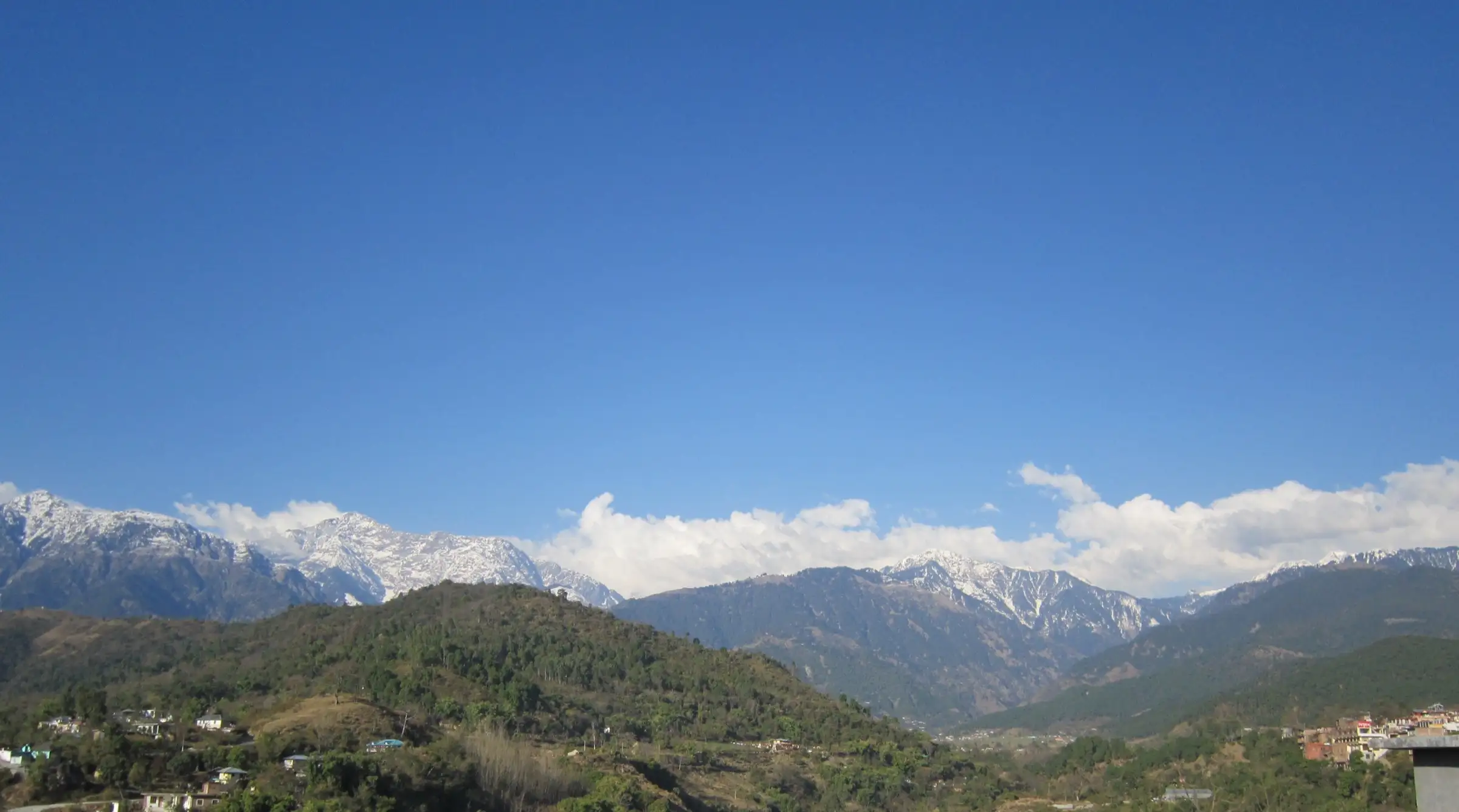
- Max altitude
- 3,440 m
- Days
- 4 days
- Distance
- 40 km
- Difficulty
- Moderate
Operators grade it moderate and it is called one of the gentlest crossings of the Dhauladhar, but the first day is a long forest walk of about 16 km, the final climb to the pass is steep, and there are cold knee-deep stream crossings without bridges.
Photos
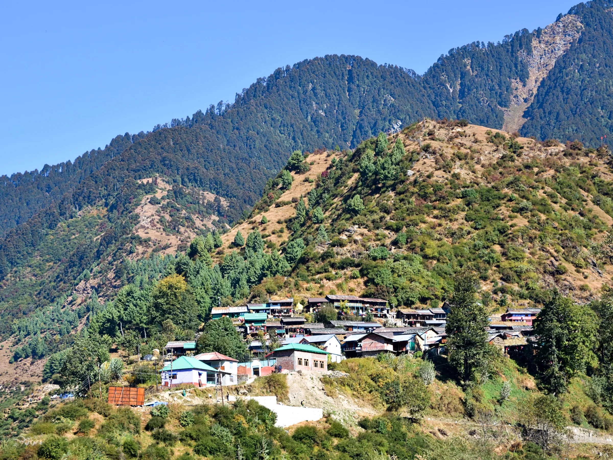
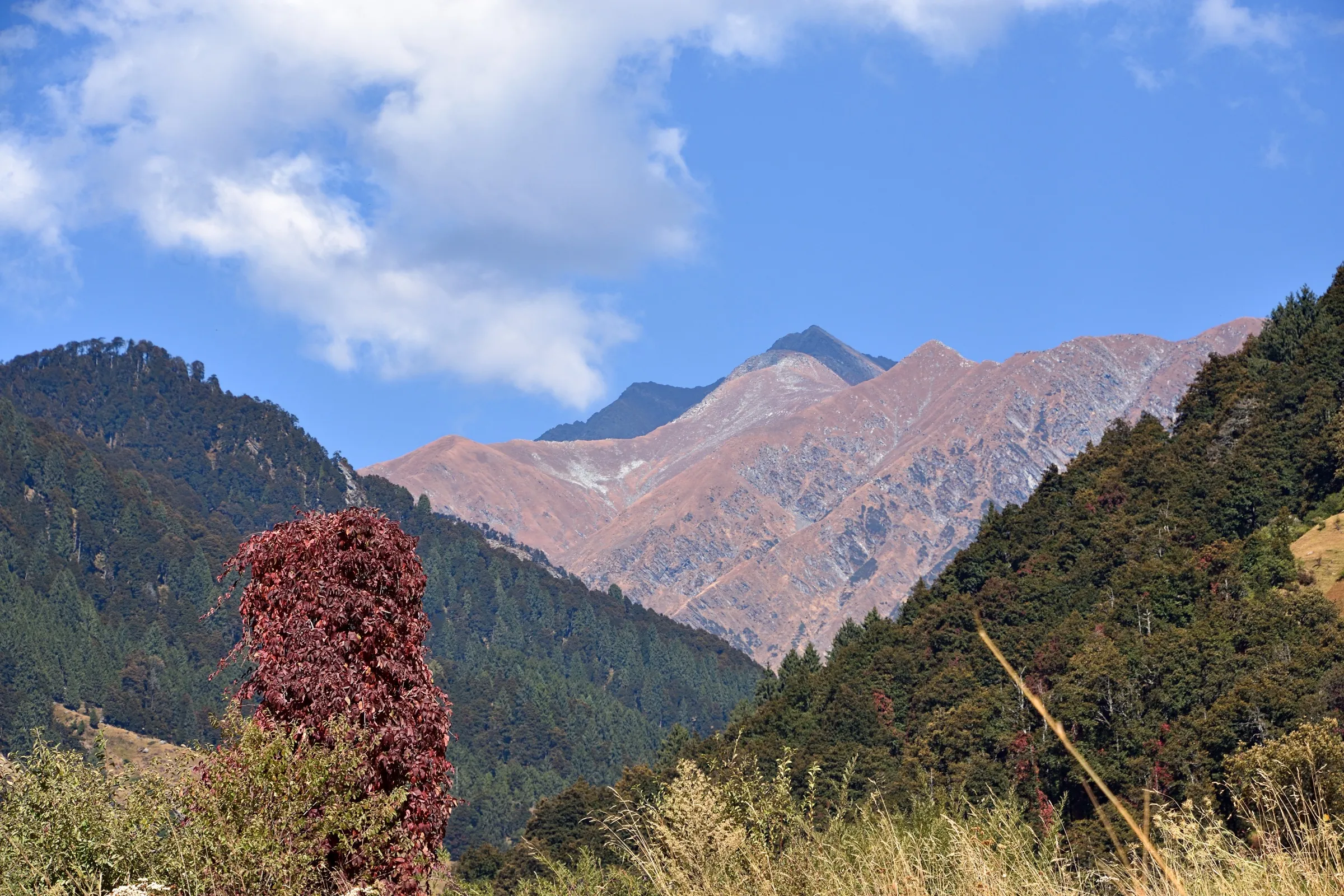
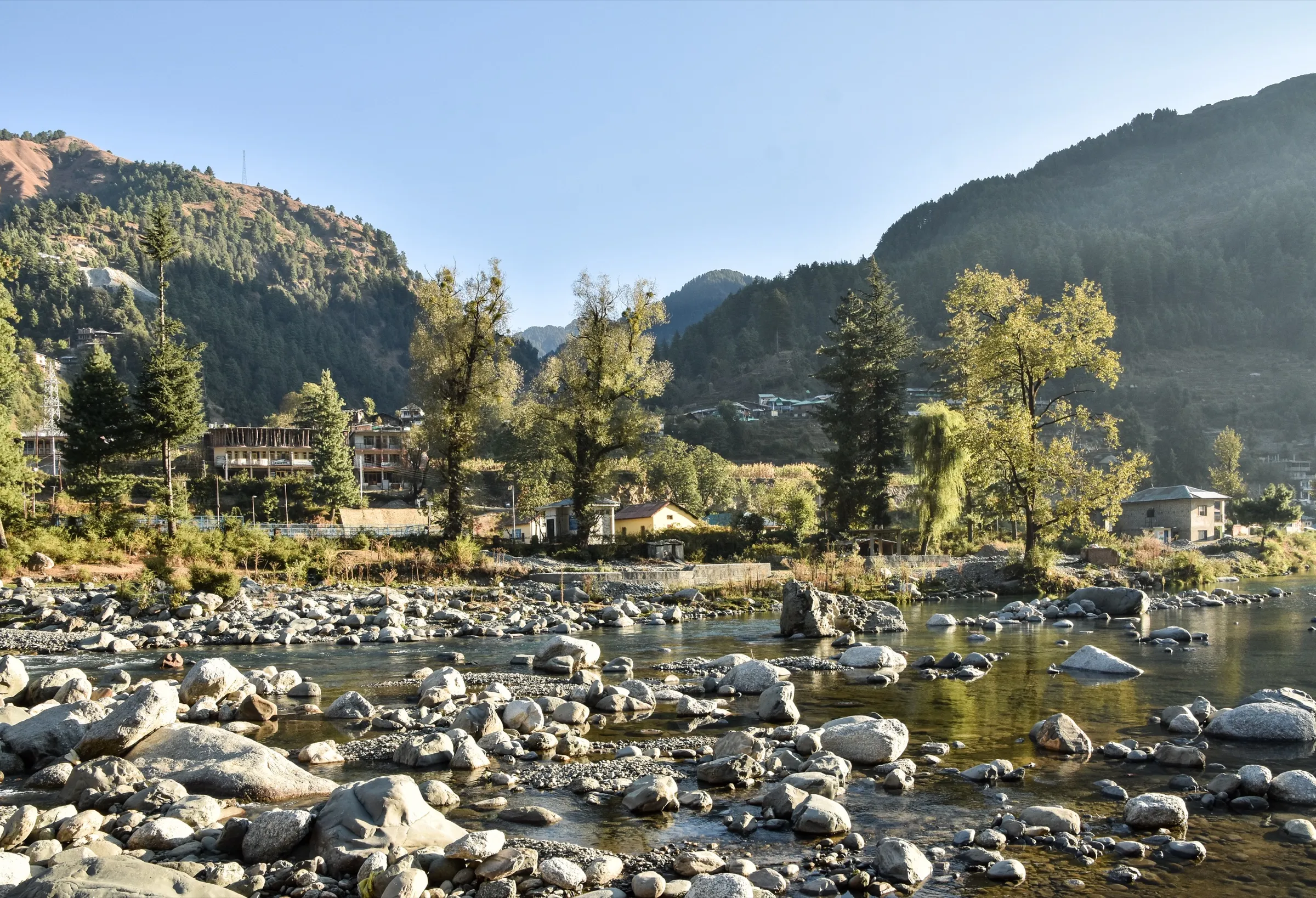
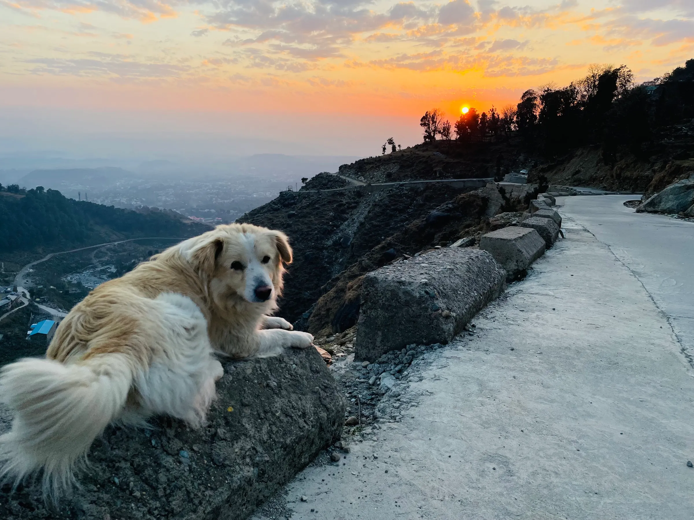
On the trail
The route
Day by day
Day 1
Uttrala (drive from Palampur, about 1 hour) → Parai (Prei)
1,330 m → 2,300 m
Day 2
Parai (Prei) → Jalsu Pass base camp
2,300 m → 3,250 m
Day 3 · highest point
Jalsu Pass base camp → Yada Goth (via Jalsu Pass)
3,250 m → 3,440 m → 2,700 m
Day 4
Yada Goth → Laka Mata temple road-head via Channi (drive to Chamba)
2,700 m → 2,000 m
Ups and downs
Altitude profile
Where it is
Map
Trailhead and high point only — not a recorded track. Use it with a proper map.
Weather
Next 5 days on the trail
Live forecast for the trailhead and the high point. Mountain weather changes fast — check again on the morning you start.
Trailhead · Uttrala (Utrala)
at 1,330 mLoading forecast…
High point · Jalsu Pass (Jalsu ka Jot), Kangra–Chamba border
at 3,440 mLoading forecast…
Each day: high / low °C · rain mm and chance · snow cm · wind km/h
Weather data: Open-Meteo.comModel forecast, not an official warning. For alerts follow IMD and the local administration.
Plan the trip
How to reach
- Trailhead
- Uttrala (Utrala) (nearest town: Paprola (Baijnath))
- Nearest railway
- Baijnath Paprola (Kangra Valley narrow-gauge line); Pathankot (about 90 km from Palampur) for broad-gauge trains
- Nearest airport
- Gaggal (Kangra) Airport, Dharamshala, about 40 km from Palampur
- By road
- Palampur (about 1 hour's drive to Uttrala via Paprola); Baijnath (about 12 km to Uttrala); Delhi and Chandigarh (government and private buses to Palampur)
- Drive
- About 12 h from Delhi
Plan the trip
Permits and fees
We could not confirm the current permit rules and fees from an official source. Check with the local forest department or tourism office before you go.
Plan the trip
Cost
Self-guided
₹4,000–10,000
With an operator
₹16,000–76,000
Per person, ex-Palampur. Guided prices seen October 2026: Himtrek ₹15,999 + 5% GST for 4 days ex-Palampur (no 2026 departures listed); White Magic Adventure ₹75,900 for an 8-day trip ex-Gaggal airport including two hotel nights and transfers. Self-guided is an estimate: taxi Palampur–Uttrala, a local guide for 3–4 days, meals and night halts at seasonal tea shops and Gaddi huts, and a bus or taxi back from the Chamba side.
Gear
Top picks for this trek
The gear that matters most on this route, chosen from its altitude, season and risks.
 Ad · affiliate link
 Ad · affiliate link
 Ad · affiliate link
 Ad · affiliate link
 Ad · affiliate link
 Ad · affiliate link
 Ad · affiliate link
 Ad · affiliate link
Store buttons open a search on that store, not a product we picked. As an Amazon Associate we earn from qualifying purchases. Photos show the kind of item, not a specific product. Affiliate disclosure
Packing checklist
Matched to this trek: altitude, season, days and the risks on the route.
Packed 0 of 34
Nights near 3,440 m can drop close to freezing even in summer. Pack one more warm layer than you think.
Tick each item as it goes in the bag.
Know before you go
Good to know
- Mobile network
- Mobile signal in Paprola and Baijnath; patchy to none on the trail (check locally)
- Last ATM
- Paprola or Baijnath
- Nearest hospital
- Baijnath and Palampur for first care; Chamba on the far side (check locally)
- Water
- A groundwater outlet and streams along the Binwa valley trail; the Indiahikes trip report warns not to drink from small rivulets that cross the trail. Treat all water.
Highlights
- An old Gaddi shepherd and pilgrim route across the Dhauladhar, linking the Kangra valley with the Chamba valley
- Wide flower meadows near the pass, which some trekkers call the Flower Valley of Himachal
- Darshan of Manimahesh Kailash, abode of Bhagwan Shiv, and the Kuja peak from the pass and from Yada Goth on a clear day
- Dense forest of the Binwa valley, Gaddi huts at Bakludu and Parai, and the Laka Mata temple above the Ravi on the Chamba side
Risks
- Kangra district orders: on 6 January 2026 the Kangra District Disaster Management Authority was reported (PTI) to have banned trekking above 3,000 m until further notice, and since November 2025 trekkers must register at Kangra check posts. The Kangra-side climb from the base camp (about 3,250 m) to the pass is above that limit. We found no order lifting the ban as of 17 October 2026 and no order naming Jalsu Pass. Confirm with the Kangra district administration or the SP office before you go.
- Indiahikes says the pass can be crossed only between early April and late October; winter snow closes the route in practice.
- Stream crossings without bridges are cold and knee-deep even in October and can be dangerous in the monsoon; cross early in the day.
- Black bears live in the Binwa valley forests (a mother with cubs was reported near the second tea shop), and monkeys are a nuisance on the lower trail.
- July–August is the Manimahesh / Chamba Kailash yatra season: the trail is busy and green, but heavy monsoon rain brings slippery trails, landslides and swollen streams.
- Tea shops at Parai and Channi run only in season, and the forest rest house at Yada Goth is in poor shape; carry a sleeping bag and enough food.
Know before you go
Questions
How difficult is the Jalsu Pass trek?
Operators grade it moderate, and trekkers describe it as one of the easier passes of the Dhauladhar. It is about 40 km over 3–4 days, with one long forest day, a steep last climb to the pass at about 3,440 m and cold stream crossings.
When is the best time to do the Jalsu Pass trek?
April to June and September to October. Indiahikes says the pass can be crossed from early April to late October; July–August is the greenest, flower-filled pilgrimage season but brings heavy monsoon rain.
Where does the Jalsu Pass trek start and end?
It starts at Uttrala (Utrala) near Paprola and Baijnath, about an hour's drive from Palampur in Kangra, and ends on the Chamba side at the Laka Mata temple road-head near Nayagran, from where you drive to Chamba.
Do I need tents, or can I stay on the trail?
Trip reports say tea shops and Gaddi huts at Bakludu, Parai and Channi offer food and a night's stay in season, so a sleeping bag can be enough. Off season the shops are closed, so carry a tent. Hiring a local guide is recommended.
Do I need a permit for Jalsu Pass?
We found no official fee for this trek. Kangra district requires trekkers to register at its check posts, and a January 2026 order banned trekking above 3,000 m until further notice. Check with the Kangra administration before you go.
In an emergency
Save these numbers before you lose signal. Tap to call.
- 112All emergenciesIndia’s single emergency number — works in every state
- 108Ambulance
- 1077District disaster control room
You are in
District: Kangra (start) and Chamba (finish)Himachal Pradesh
- Nearest hospital
- Baijnath and Palampur for first care; Chamba on the far side (check locally)
- Last ATM
- Paprola or Baijnath
- Phone network
- Mobile signal in Paprola and Baijnath; patchy to none on the trail (check locally)
Before you set off
- Tell someone your route and when you will be back.
- Carry a charged phone and a power bank.
- Download an offline map of the route.
- Turn back if the weather turns bad — the mountain will wait.
Questions about Jalsu Pass
No questions yet. Ask something and trekkers who have done it can answer.
Share your trek photo with #TreksAndTrails
I trekked this
Did Jalsu Pass look different from this page? Tell us what changed and we will check it.
Where this comes from
Sources
Last reviewed:
- The Complete Guide to Jalsu Pass Trek — Indiahikes
- The Adventure Of Trekking To Jalsu Pass - The Flower Valley Of Himachal — Indiahikes
- Jalsu Pass Trek: 4-Day Breathtaking Himalayan Gem — Himtrek
- Meeting the Dhauladhars — White Magic Adventure
- The Untold Stories Of Jalsu Mountain Pass — TravelFeed (himalayanwomb)
- Himachal: Kangra administration bans trekking above 3,000 metres (PTI, 6 Jan 2026) — The Week (PTI)
Photos: DHAULADHAR, CC BY-SA 4.0; Srinivasan G, CC BY-SA 2.0