Thatharana Trek
Kangra, Himachal Pradesh
Opens without signal on this phone, with the map file and checklist. Saved for offline →
- Max altitude
- 2,600 m
- Satellite terrain suggests about 2,488 m
- Days
- 2 days
- Distance
- 10 km
- Difficulty
- Moderate
Short (about 5 km each way) but a continuous climb of roughly 900 m from Kharota through forest, on a trail that is less defined than Triund's; the Kangra district site calls it more demanding than Triund for that reason.
Photos
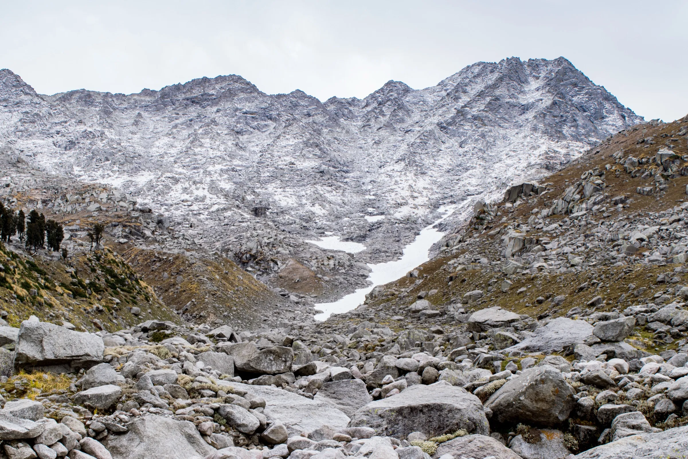
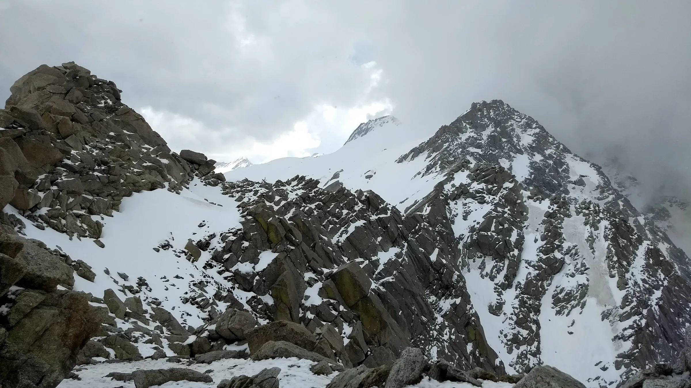
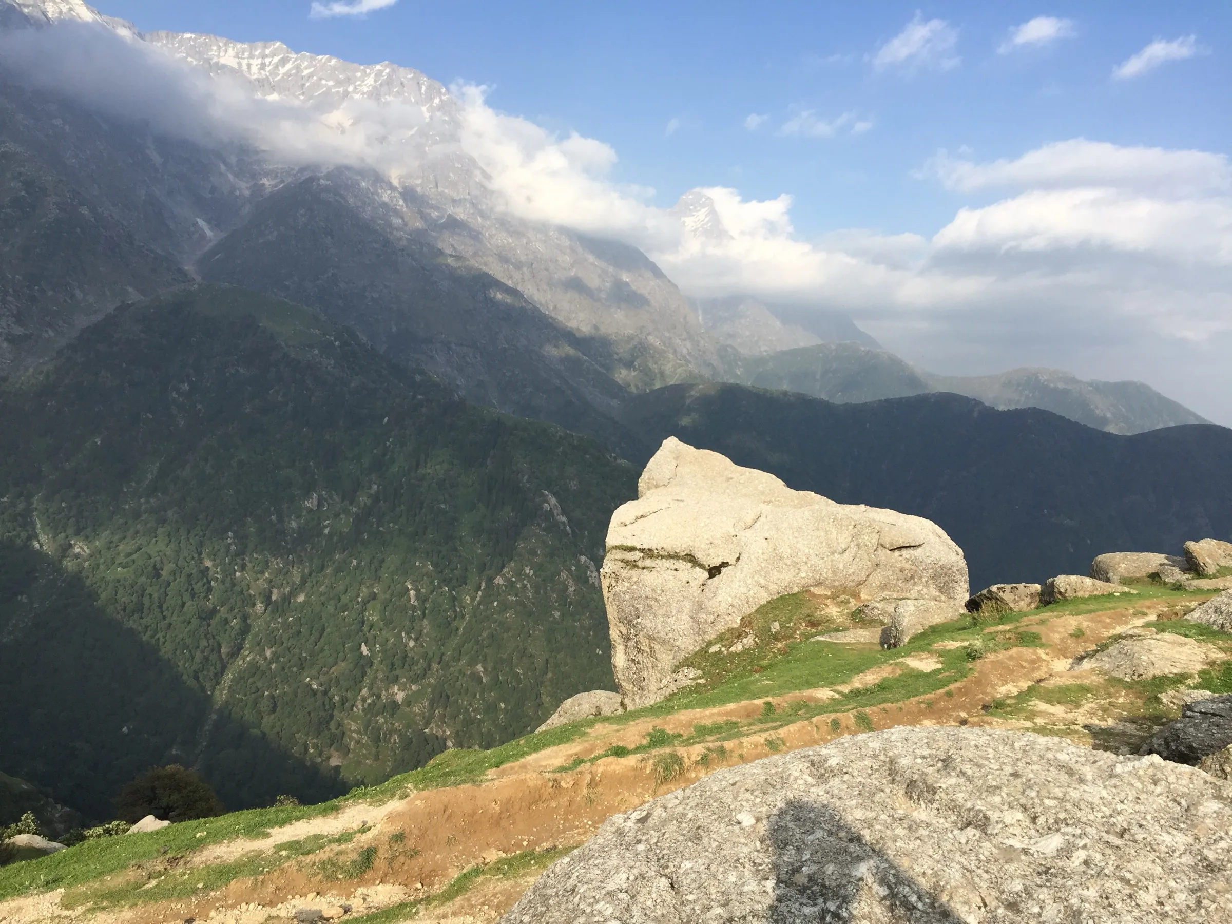
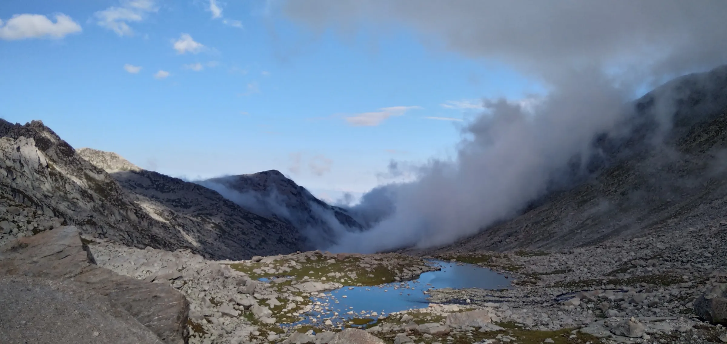
On the trail
The route
Day by day
Day 1 · highest point
Kharota Village → Thatharana meadow
1,700 m → 2,600 m
Day 2
Thatharana meadow → Kharota Village
2,600 m → 1,700 m
Ups and downs
Altitude profile
Where it is
Map
Trailhead and high point only — not a recorded track. Use it with a proper map.
Weather
Next 5 days on the trail
Live forecast for the trailhead and the high point. Mountain weather changes fast — check again on the morning you start.
Trailhead · Kharota Village
at 1,700 mLoading forecast…
High point · Thatharana meadow (campsite)
at 2,600 mLoading forecast…
Each day: high / low °C · rain mm and chance · snow cm · wind km/h
Weather data: Open-Meteo.comModel forecast, not an official warning. For alerts follow IMD and the local administration.
Plan the trip
How to reach
- Trailhead
- Kharota Village (nearest town: Dharamshala)
- Nearest railway
- Pathankot (broad gauge, about 90 km from Dharamshala); the Kangra Valley narrow-gauge line stops at Nagrota
- Nearest airport
- Gaggal (Kangra) Airport, about 15–20 km from Dharamshala
- By road
- Dharamshala or McLeod Ganj to Kharota via Khaniyara by taxi or bike (30–45 minutes; no bus to the trailhead); Pathankot to Dharamshala (about 90 km, 2–3 h); Delhi to Dharamshala (overnight bus, about 10–12 h)
- Drive
- About 11 h from Delhi
Plan the trip
Permits and fees
We could not confirm the current permit rules and fees from an official source. Check with the local forest department or tourism office before you go.
Plan the trip
Cost
Self-guided
₹800–2,500
With an operator
₹1,499–2,625
Per person for 2 days / 1 night, ex-Dharamshala. Guided: Trekkers of India lists ₹1,499 + 5% GST (tent, guide, dinner, breakfast, McLeod Ganj–Kharota transport); Treks and Trails India (treksandtrails.org, not related to us) lists ₹1,750; Himtrek lists ₹2,499 + 5% GST (tent, veg meals, trek leader, cook). Self-guided is our estimate: a taxi from Dharamshala to Kharota and back (shared between a group), food, and your own or a rented tent. Prices checked October 2026.
Gear
Top picks for this trek
The gear that matters most on this route, chosen from its altitude, season and risks.
 Ad · affiliate link
 Ad · affiliate link
 Ad · affiliate link
 Ad · affiliate link
 Ad · affiliate link
- Ad · affiliate link
 Ad · affiliate link
 Ad · affiliate link
Store buttons open a search on that store, not a product we picked. As an Amazon Associate we earn from qualifying purchases. Photos show the kind of item, not a specific product. Affiliate disclosure
Packing checklist
Matched to this trek: altitude, season, days and the risks on the route.
Packed 0 of 25
Monsoon months (Jun, Sep): pack everything in plastic or a dry bag and wear shoes with good grip.
Tick each item as it goes in the bag.
Know before you go
Good to know
- Mobile network
- Good in Dharamshala and around Khaniyara; patchy on the upper trail and at the meadow (check locally)
- Last ATM
- Dharamshala (Kotwali Bazaar) or Khaniyara
- Nearest hospital
- Zonal Hospital, Dharamshala
- Water
- Limited water on the trail per the Kangra district site; fill up at Kharota and carry 2–3 L
Highlights
- A quieter alternative to Triund, described by the Kangra district administration as a hidden gem
- Open meadow camp with 360-degree views of the Dhauladhar wall, the Kangra Valley, the Shivalik hills and the plains of Punjab
- Climb through deodar and oak forest above Kharota village
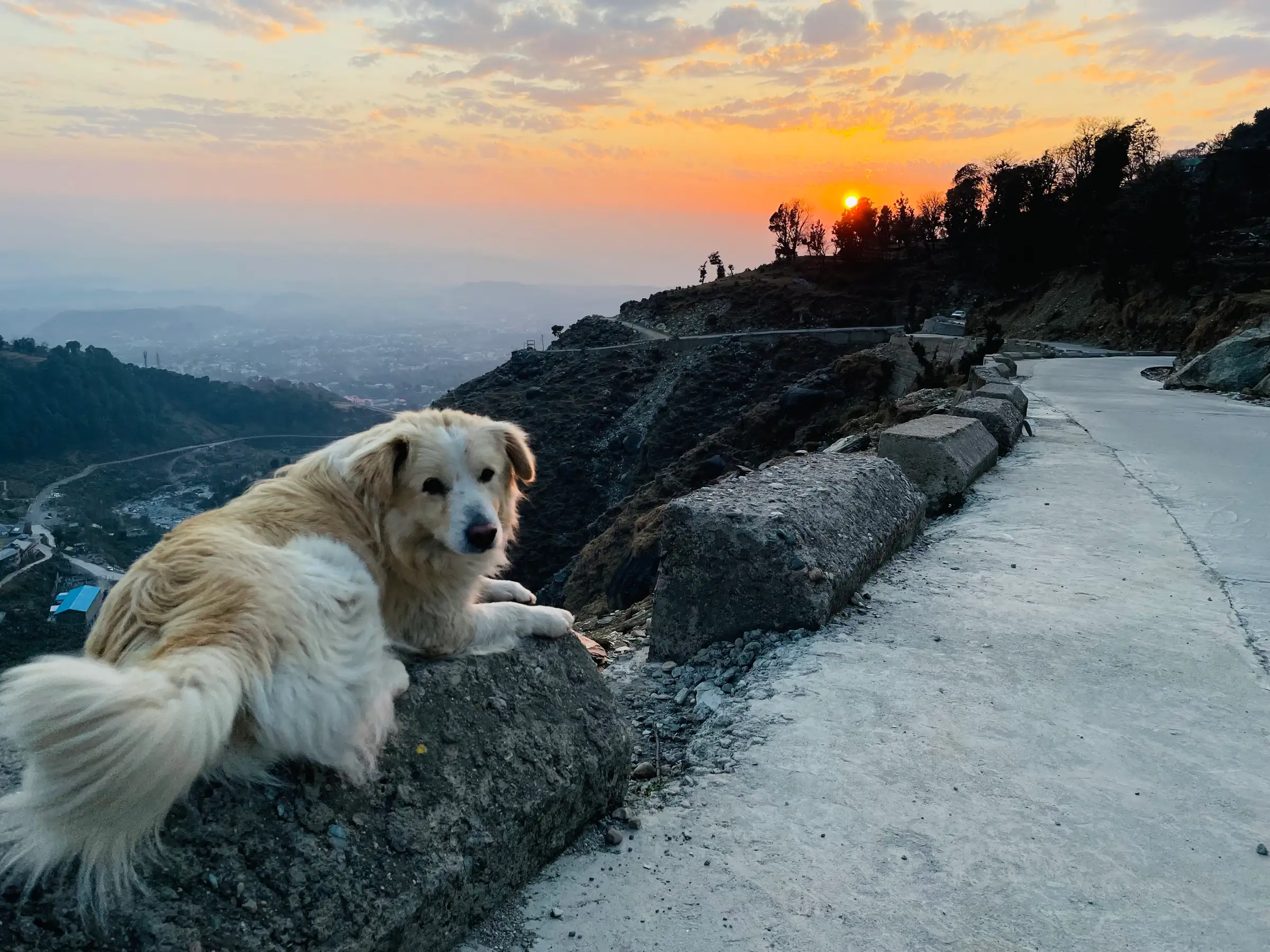
- Sunset, sunrise and star-gazing from the camp; snow on the meadow in winter
- The camp is the base for the much harder route on to Kundli Pass
Risks
- Continuous steep climb and a less-defined trail in places; the Kangra district site strongly suggests a guide, especially for an overnight stay
- Monsoon (July–August) makes the forest trail slippery with landslide risk; cloud can hide the views
- Snow covers the upper trail and meadow in winter (December–February); go only with proper gear and experience
- Kangra district has required trekkers to register at check posts since November 2025, and its January 2026 order bans trekking above 3,000 m. Thatharana itself is below that limit, but going on towards Kundli Pass is not; confirm current rules with the district administration in Dharamshala
- Water is scarce above Kharota; nights at the meadow are cold even in summer
Know before you go
Questions
How high is Thatharana and how long is the trek?
The Kangra district site puts the campsite at about 2,500–2,750 m; operators quote about 2,600 m (8,530 ft) to 2,676 m. Satellite terrain data reads about 2,490 m at the mapped campsite. The walk from Kharota is about 5–7 km one way (10–14 km return) and takes 3–5 hours up.
Is Thatharana better than Triund?
It is quieter, with open meadows and clear views, which is why the Kangra district administration describes it as a lesser-known alternative to Triund. It is also a little harder: a continuous ascent on a less-defined trail, so it is not ideal for complete beginners without preparation.
Where does the Thatharana trek start and how do I get there?
From Kharota village (also written Khadota), about 8–15 km from Dharamshala via Khaniyara. No bus runs to the trailhead, so take a taxi or a bike from Dharamshala or McLeod Ganj (30–45 minutes).
Can I camp at Thatharana, and can it be done in one day?
Yes to both. The top is open meadow suited to tents, and most groups do it as 1 night / 2 days for sunset and sunrise. As a day hike, plan 5–8 hours return plus breaks.
Does the Kangra ban on trekking above 3,000 m apply to Thatharana?
Not to Thatharana itself, which is below 3,000 m on every published figure. It does apply to routes beyond it such as Kundli Pass. Kangra has also required trekkers to register at check posts since November 2025, so ask the district administration in Dharamshala before you go.
In an emergency
Save these numbers before you lose signal. Tap to call.
- 112All emergenciesIndia’s single emergency number — works in every state
- 108Ambulance
- 1077District disaster control room
You are in
District: KangraHimachal Pradesh
- Nearest hospital
- Zonal Hospital, Dharamshala
- Last ATM
- Dharamshala (Kotwali Bazaar) or Khaniyara
- Phone network
- Good in Dharamshala and around Khaniyara; patchy on the upper trail and at the meadow (check locally)
Before you set off
- Tell someone your route and when you will be back.
- Carry a charged phone and a power bank.
- Download an offline map of the route.
- Turn back if the weather turns bad — the mountain will wait.
Questions about Thatharana
No questions yet. Ask something and trekkers who have done it can answer.
Share your trek photo with #TreksAndTrails
I trekked this
Did Thatharana look different from this page? Tell us what changed and we will check it.
Where this comes from
Sources
Last reviewed:
- Thatharna Trek — District Kangra, Government of Himachal Pradesh (last updated 31.03.2026) — District Administration Kangra (official)
- Tatharna Trek | Hidden Himalayan Escape Near Dharamshala — Himtrek
- Thatharana Trek — Trekkers of India
- Thatharana Trek with Camping in Mcleodganj — Treks and Trails India (treksandtrails.org)
Photos: Tanvi.sharmaaa, CC BY 4.0; Rajranatatum, CC BY-SA 4.0; Rajranatatum, CC BY-SA 4.0