Moon Peak Trek
Kangra (summit on the Kangra–Chamba border), Himachal Pradesh
Opens without signal on this phone, with the map file and checklist. Saved for offline →
- Max altitude
- 4,650 m
- Days
- 5 days
- Distance
- 45 km
- Difficulty
- Challenging
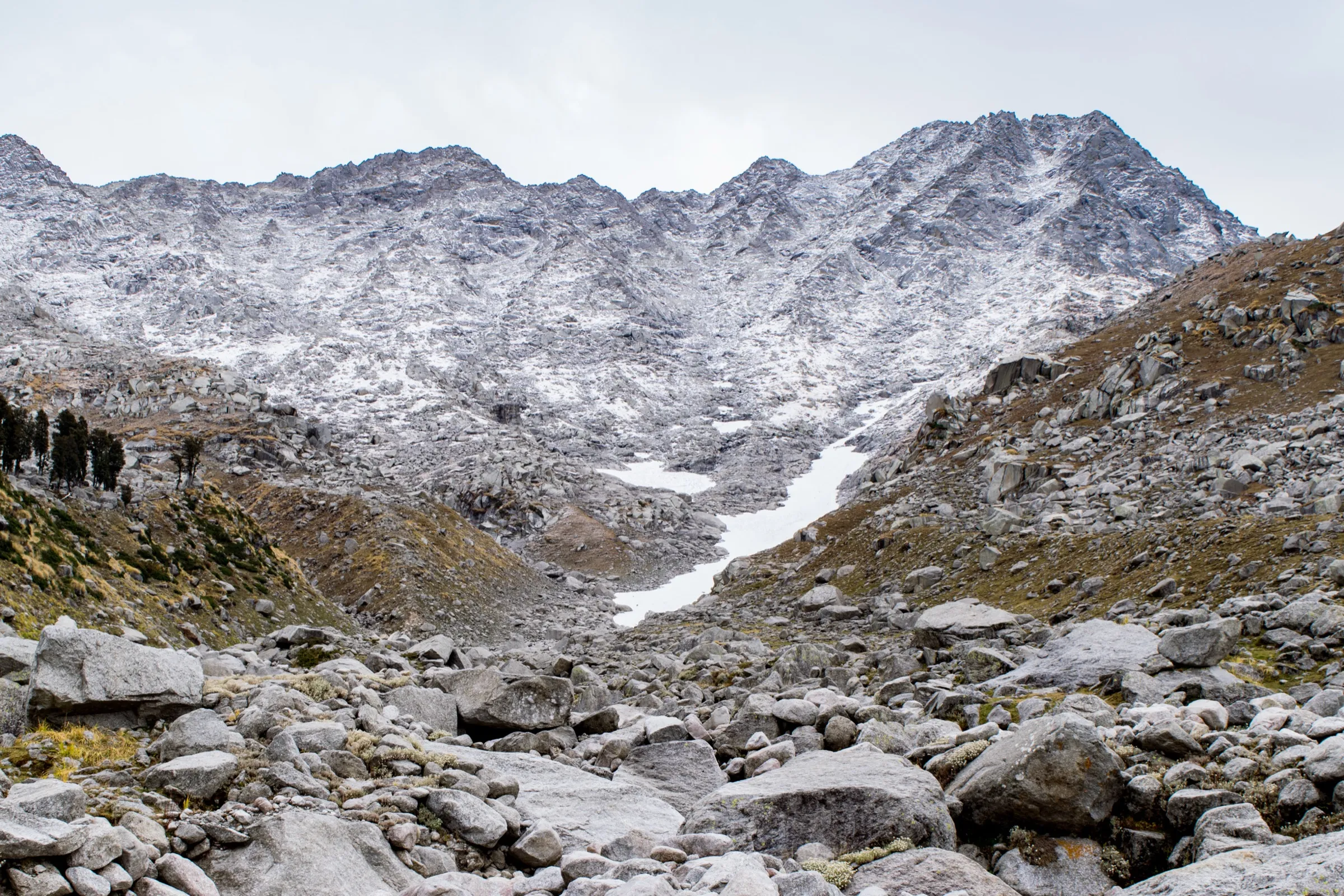
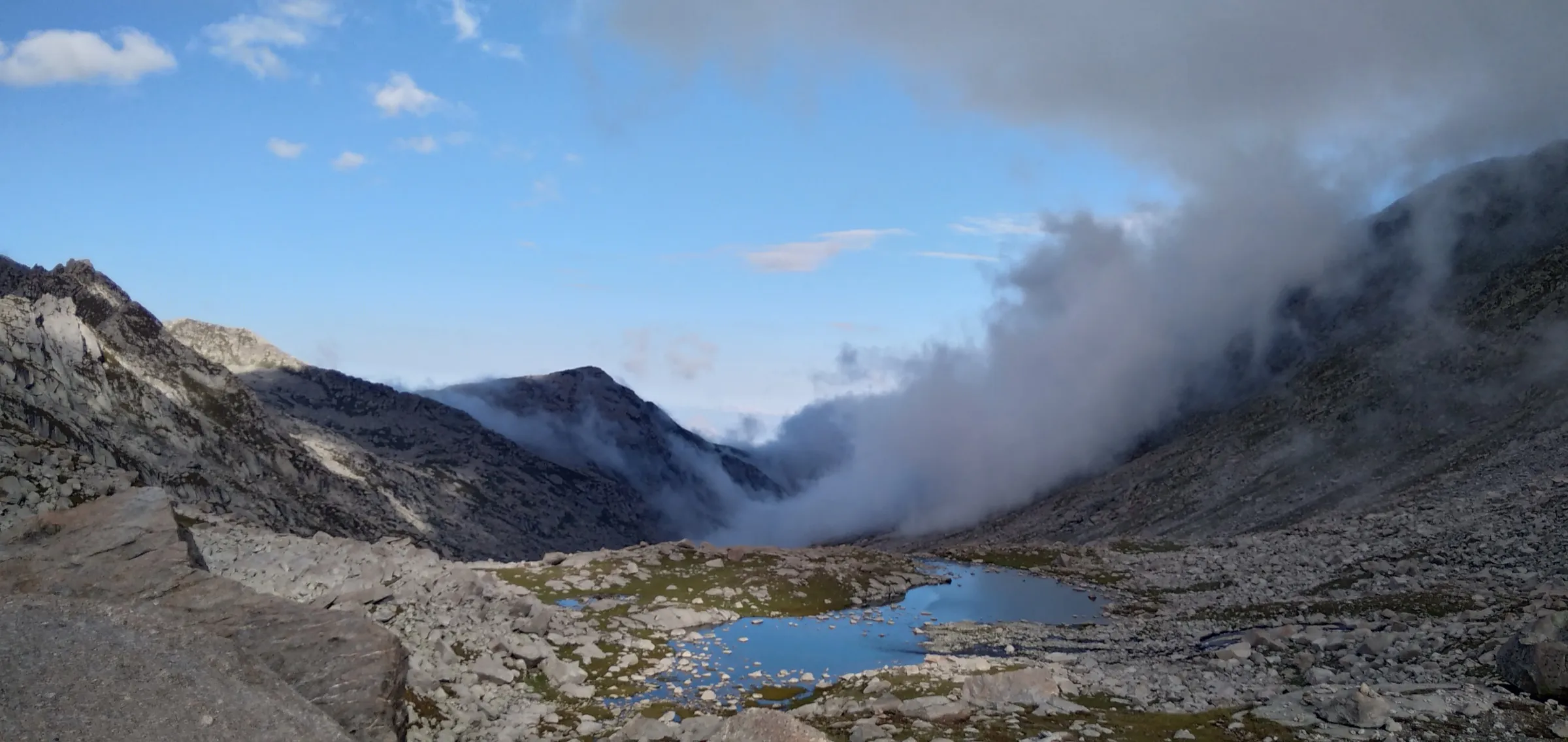
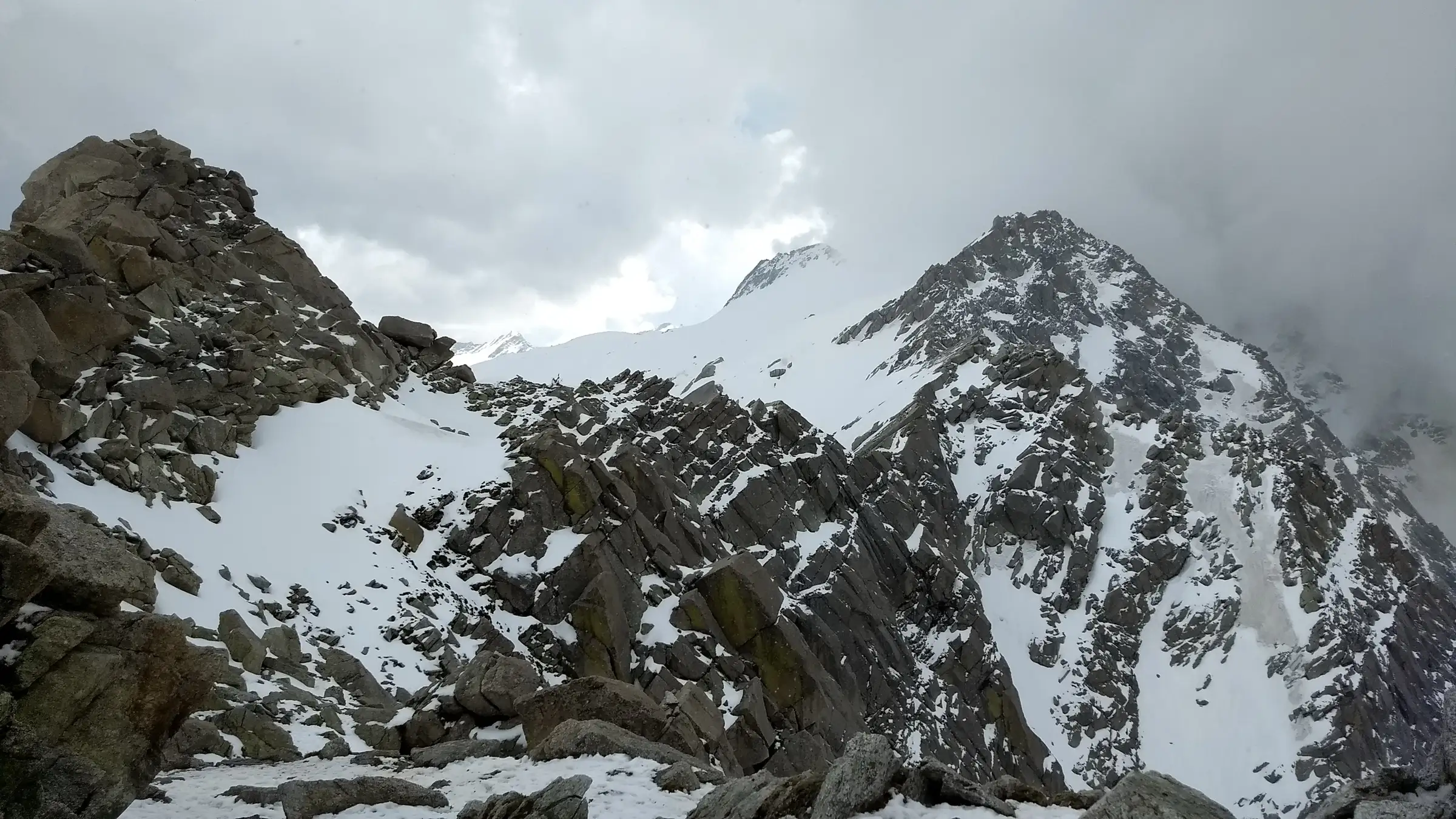
A steep climb over boulder fields past Laka Got and Lahesh Cave, then a pre-dawn summit day that crosses Indrahar Pass (4,342 m) and follows an exposed, loose scree-and-rock ridge to about 4,650 m; operators say crampons, ice axes or a safety rope may be needed when there is snow.
Photos
On the trail
The route
Day by day
Day 1
McLeod Ganj → Triund
1,788 m → 2,850 m
Day 2
Triund → Laka Got (via Snowline Café)
2,850 m → 3,500 m
Day 3
Laka Got → Lahesh Cave (base camp)
3,500 m → 3,600 m
Day 4 · highest point
Lahesh Cave → Lahesh Cave (via Indrahar Pass and Moon Peak summit)
3,600 m → 4,650 m → 3,600 m
Day 5
Lahesh Cave → McLeod Ganj (via Laka Got and Triund)
3,600 m → 1,788 m
Ups and downs
Altitude profile
Where it is
Map
Trailhead and high point only — not a recorded track. Use it with a proper map.
Weather
Next 5 days on the trail
Live forecast for the trailhead and the high point. Mountain weather changes fast — check again on the morning you start.
Trailhead · McLeodganj (McLeod Ganj), via Dharamkot
at 1,788 mLoading forecast…
High point · Moon Peak summit (Mun Peak), east of Indrahar Pass
at 4,650 mLoading forecast…
Each day: high / low °C · rain mm and chance · snow cm · wind km/h
Weather data: Open-Meteo.comModel forecast, not an official warning. For alerts follow IMD and the local administration.
Plan the trip
How to reach
- Trailhead
- McLeodganj (McLeod Ganj), via Dharamkot
- Nearest railway
- Pathankot (about 90–100 km); the Kangra Valley narrow-gauge line stops at Kangra, about 30 km away
- Nearest airport
- Gaggal (Kangra) Airport, Dharamshala, about 18–20 km
- By road
- Dharamshala (about 10 km to McLeod Ganj); Pathankot (about 90 km); Delhi (overnight bus from Majnu ka Tilla, 11–13 h)
- Drive
- About 12 h from Delhi
Plan the trip
Permits and fees
We could not confirm the current permit rules and fees from an official source. Check with the local forest department or tourism office before you go.
Plan the trip
Cost
Self-guided
₹4,000–8,000
With an operator
₹9,500–21,000
Per person for about 5 days, ex-McLeod Ganj. Guided: Cliff Climber Adventures lists ₹9,500 including tax (6 days with an overnight Delhi bus, via TourTravelWorld); Himtrek lists ₹20,000 + 5% GST, with crampons, ice axe and forest permits included. Self-guided is our estimate for food, rented tent and sleeping bag, forest/check-post fees and taxi to Galu Devi Temple — but going without a local guide is strongly discouraged on the summit ridge.
Gear
Top picks for this trek
The gear that matters most on this route, chosen from its altitude, season and risks.
 Ad · affiliate link
 Ad · affiliate link
 Ad · affiliate link
 Ad · affiliate link
 Ad · affiliate link
 Ad · affiliate link
 Ad · affiliate link
 Ad · affiliate link
Store buttons open a search on that store, not a product we picked. As an Amazon Associate we earn from qualifying purchases. Photos show the kind of item, not a specific product. Affiliate disclosure
Packing checklist
Matched to this trek: altitude, season, days and the risks on the route.
Packed 0 of 34
Nights near 4,650 m can drop close to freezing even in summer. Pack one more warm layer than you think.
Tick each item as it goes in the bag.
Know before you go
Good to know
- Mobile network
- Reliable in McLeod Ganj and Dharamkot; patchy at Triund and mostly none beyond Laka Got (check locally)
- Last ATM
- McLeod Ganj
- Nearest hospital
- Zonal Hospital, Dharamshala (below McLeod Ganj)
- Water
- Taps at Dharamkot and Galu Devi Temple; snow-melt streams near Laka Got and Lahesh Cave in season (treat before drinking); none on the summit ridge — carry 2 L from camp
Highlights
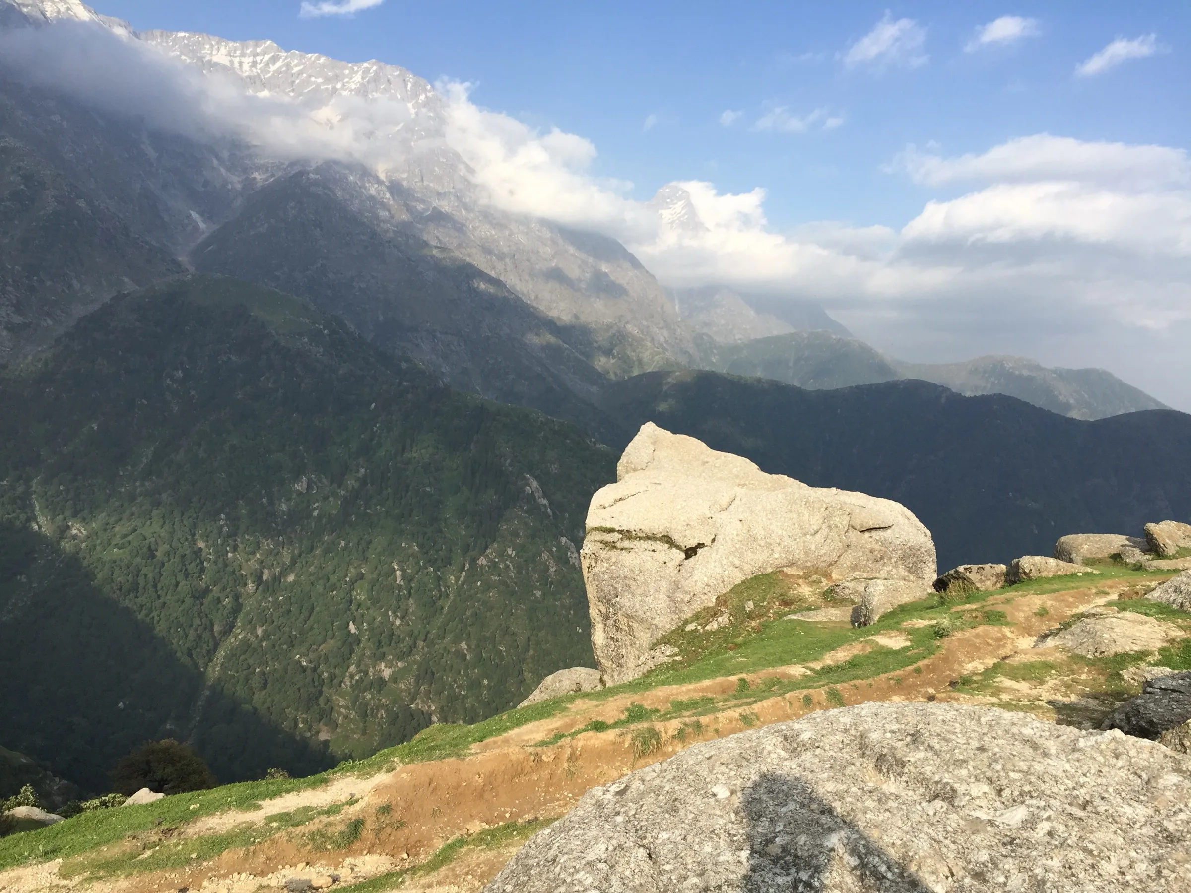
- The highest-looking peak on the Dhauladhar skyline above McLeod Ganj, climbed from the town itself
- Camps at Triund, Laka Got and the Gaddi shepherds' rock shelter of Lahesh Cave
- Crossing Indrahar Pass (4,342 m) on the Kangra–Chamba watershed on summit day
- Views from the top over the Kangra plains to the south and the Pir Panjal and Mani Mahesh Kailash to the north
Risks
- Kangra district orders: on 6 January 2026 the Kangra District Disaster Management Authority was reported (PTI) to have banned trekking above 3,000 m until further notice; Moon Peak (about 4,650 m) is well above that limit. We found no order lifting the ban as of 17 October 2026. Confirm with the Kangra district administration or the SP office in Dharamshala before you go.
- Since November 2025 trekkers must register at Kangra check posts such as Gallu Temple; any IMD weather warning cancels permissions already given.
- The final ridge beyond Indrahar Pass is exposed, with loose scree, steep gullies and rock faces; a slip can mean a serious fall. Operators say ropes may be needed when the gullies hold snow (early summer). Turn back in bad weather — the ridge is dangerous in a thunderstorm or whiteout.
- Altitude sickness is possible: summit day climbs over 1,000 m from a camp at about 3,600 m and starts around 2–3 AM.
- Above Laka Got the trail crosses large boulder fields where it is easy to lose the way; trekkers have gone missing on the Triund–Indrahar trails. Go with an experienced local guide.
- Monsoon (July–August) brings rockfall, slippery granite and landslides; heavy winter snow blocks the route.
Know before you go
Questions
How high is Moon Peak?
Most operators give about 4,650 m (around 15,200 ft); one quotes 15,125 ft. OpenStreetMap also tags the summit (Mun Peak) at 4,650 m. Satellite terrain data reads a little lower, about 4,580 m.
How many days does the Moon Peak trek take?
Operators run it in 5 days from McLeod Ganj (about 45 km in all): Triund, Laka Got, a base at Lahesh Cave, a long summit day over Indrahar Pass, and the walk back. Some add a spare weather day or exit via Chamba instead.
Is Moon Peak harder than Indrahar Pass?
Yes. The first days are the same as the Indrahar Pass trek, but the summit push continues past the pass along an exposed, loose ridge. Operators grade it moderate-to-difficult and describe it as entry-level mountaineering rather than a standard trek.
When is the best time to climb Moon Peak?
May–June and September–October. Mid-September to late October is usually best, when snow has melted off the ridge; in June the gullies can still be full of snow and need ropes.
Can I do Moon Peak now, given the Kangra trekking ban?
A January 2026 Kangra district order banned trekking above 3,000 m until further notice, and we found no order lifting it as of 17 October 2026. Ask the Kangra district administration or the SP office in Dharamshala before planning, and register at the Gallu Temple check post.
In an emergency
Save these numbers before you lose signal. Tap to call.
- 112All emergenciesIndia’s single emergency number — works in every state
- 108Ambulance
- 1077District disaster control room
You are in
District: Kangra (summit on the Kangra–Chamba border)Himachal Pradesh
- Nearest hospital
- Zonal Hospital, Dharamshala (below McLeod Ganj)
- Last ATM
- McLeod Ganj
- Phone network
- Reliable in McLeod Ganj and Dharamkot; patchy at Triund and mostly none beyond Laka Got (check locally)
Before you set off
- Tell someone your route and when you will be back.
- Carry a charged phone and a power bank.
- Download an offline map of the route.
- Turn back if the weather turns bad — the mountain will wait.
Questions about Moon Peak
No questions yet. Ask something and trekkers who have done it can answer.
Share your trek photo with #TreksAndTrails
I trekked this
Did Moon Peak look different from this page? Tell us what changed and we will check it.
Where this comes from
Sources
Last reviewed:
- Moon Peak Expedition — Lazy Monk Adventure
- Moon Peak Expedition, Himachal Pradesh — Thrillophilia
- Moon Peak Expedition (Cliff Climber Adventures) — Cliff Climber Adventures
- Moon Peak Expedition Mcleodganj — Himtrek
- Moon Peak Trek Difficulty | Route & Preparation Guide — TrekGo
- Moon Peak Trek Dharamshala — Himalaya Shelter
- Mun Peak (Moon Peak) — node 2960003178 — OpenStreetMap
- Himachal: Kangra administration bans trekking above 3,000 metres — The Week (PTI)
Photos: Vivek machra, CC BY-SA 4.0; Birte Fritsch, CC BY 2.0; Ashish Gupta from Noida, India, CC BY 2.0