- Max altitude
- 2,850 m
- Days
- 2 days
- Distance
- 18 km
- Difficulty
- Easy
A well-marked forest trail of about 9 km each way from McLeod Ganj with roughly 800 m of climb; only the last stretch of about 22 rocky switchbacks below the ridge is steep.
Photos
On the trail
The route
Day by day
Day 1 · highest point
McLeod Ganj → Triund
2,082 m → 2,850 m
Day 2
Triund → McLeod Ganj
2,850 m → 2,082 m
Ups and downs
Altitude profile
Where it is
Map
Trailhead and high point only — not a recorded track. Use it with a proper map.
Weather
Next 5 days on the trail
Live forecast for the trailhead and the high point. Mountain weather changes fast — check again on the morning you start.
Trailhead · Dharamkot (Galu Devi Temple)
at 2,082 mLoading forecast…
High point · Triund ridge
at 2,850 mLoading forecast…
Each day: high / low °C · rain mm and chance · snow cm · wind km/h
Weather data: Open-Meteo.comModel forecast, not an official warning. For alerts follow IMD and the local administration.
Plan the trip
How to reach
- Trailhead
- Dharamkot (Galu Devi Temple) (nearest town: McLeod Ganj)
- Nearest railway
- Pathankot (about 90 km); Kangra Valley narrow-gauge line also stops near Kangra
- Nearest airport
- Gaggal (Kangra) Airport, Dharamshala, about 20 km
- By road
- Dharamshala (about 10 km to McLeod Ganj); Pathankot (about 90 km); Delhi (overnight bus, 11–12 h)
- Drive
- About 11 h from Delhi
Plan the trip
Permits and fees
We could not confirm the current permit rules and fees from an official source. Check with the local forest department or tourism office before you go.
Plan the trip
Cost
Self-guided
₹500–2,000
With an operator
₹999–3,150
Per person for 2 days / 1 night, ex-McLeod Ganj. Guided: Thrillophilia lists ₹999–₹1,499 (camp + dinner + breakfast + guide, entry fee paid at the check post); Himalayan Dream Treks lists ₹3,000 + 5% GST. Self-guided covers taxi to Galu Devi Temple (about ₹500), forest entry and rented tent or rest-house bed, and café meals. Entry and tent fees are set by the HP Forest Department / Ecotourism Society and change; confirm at the Galu check post.
Gear
Top picks for this trek
The gear that matters most on this route, chosen from its altitude, season and risks.
 Ad · affiliate link
 Ad · affiliate link
 Ad · affiliate link
 Ad · affiliate link
 Ad · affiliate link
- Ad · affiliate link
 Ad · affiliate link
 Ad · affiliate link
Store buttons open a search on that store, not a product we picked. As an Amazon Associate we earn from qualifying purchases. Photos show the kind of item, not a specific product. Affiliate disclosure
Packing checklist
Matched to this trek: altitude, season, days and the risks on the route.
Packed 0 of 25
Monsoon months (Jun, Sep): pack everything in plastic or a dry bag and wear shoes with good grip.
Tick each item as it goes in the bag.
Know before you go
Good to know
- Mobile network
- Reliable in McLeod Ganj and Dharamkot; patchy on the upper trail and at the ridge (check locally)
- Last ATM
- McLeod Ganj
- Nearest hospital
- Zonal Hospital, Dharamshala (below McLeod Ganj)
- Water
- Taps at Dharamkot and Galu Devi Temple; little water on the ridge (nearest source about 1 km away), cafés sell bottled water — carry 2 L
Highlights
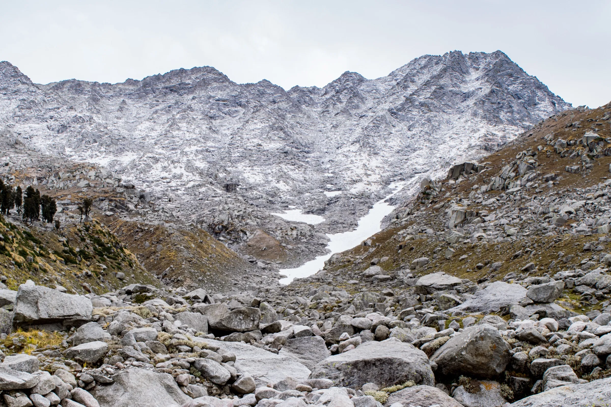
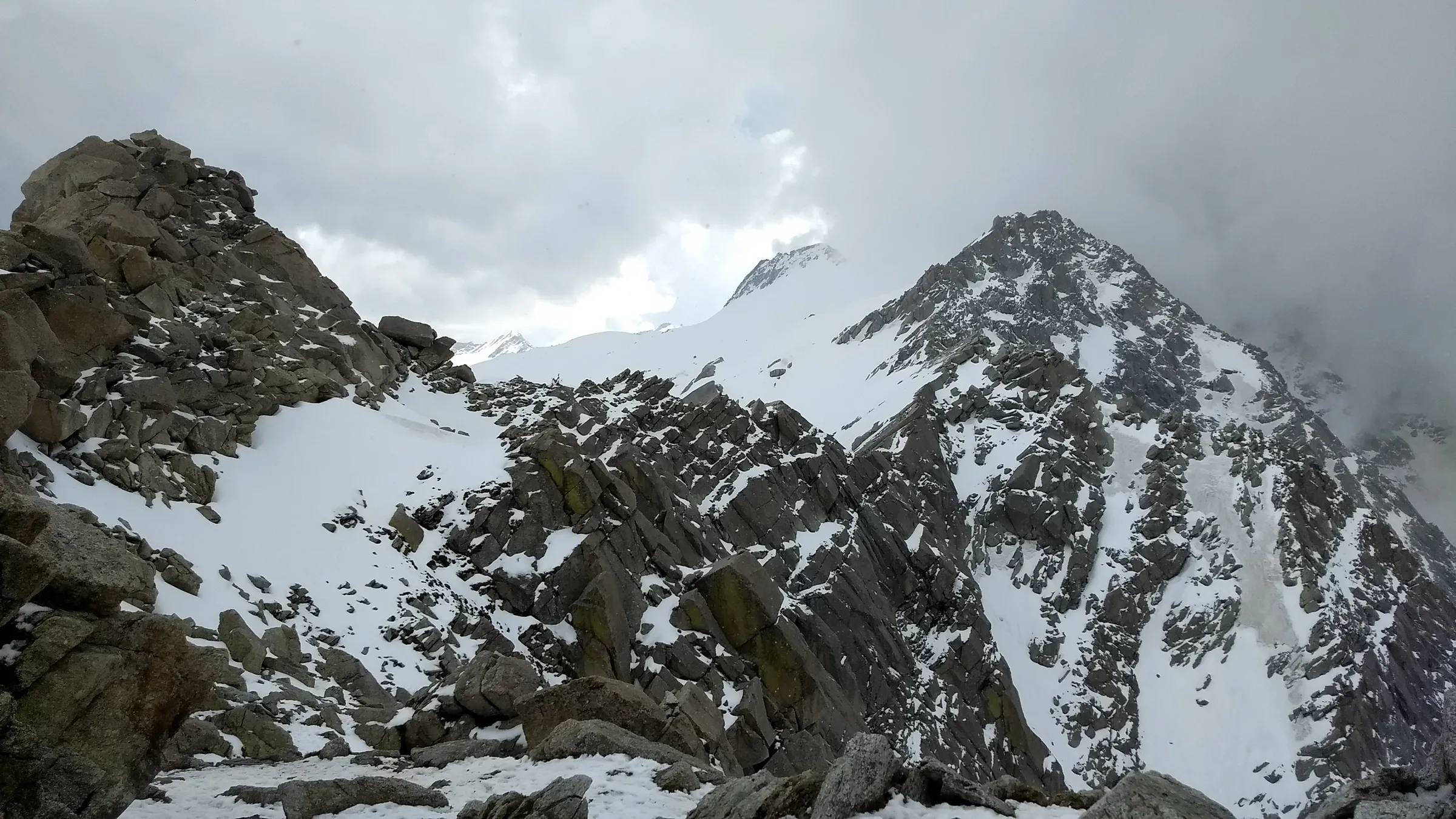
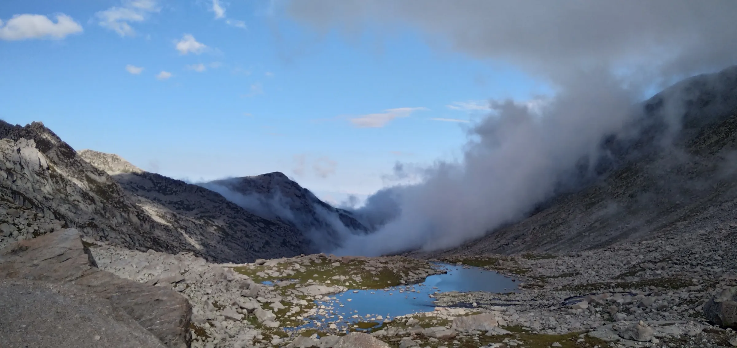
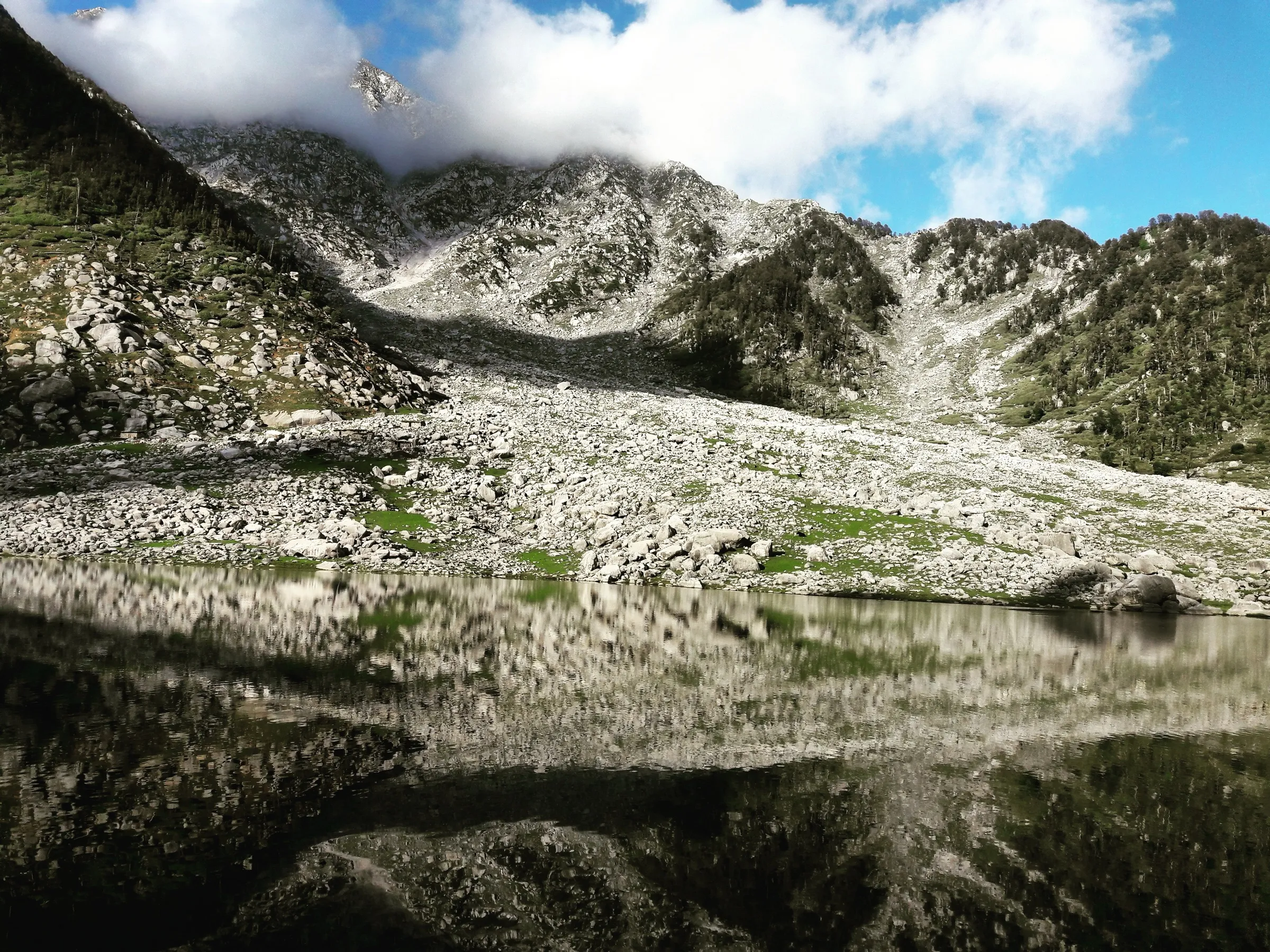
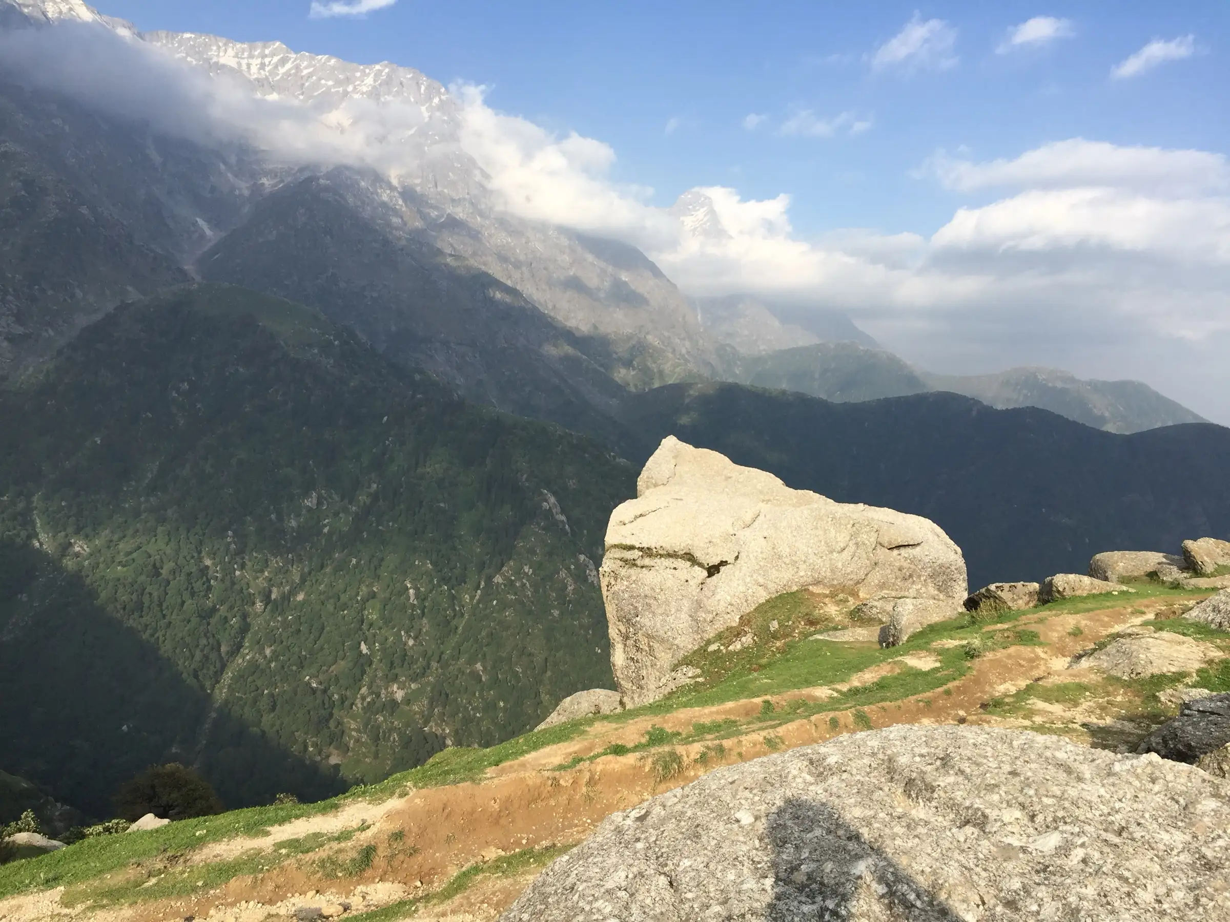
- Close-up wall of the Dhauladhar range, with Moon Peak rising behind the ridge
- Oak, deodar and rhododendron forest above Galu Devi Temple
- Sunset over the Kangra Valley and sunrise on the Dhauladhar from the Triund meadow
- Optional extension to Snowline Café and Laka Got for snow views
Risks
- The final 22-switchback section is rocky and slippery when wet; monsoon (July–August) brings landslide risk
- Heavy winter snowfall can block the trail; Kangra district orders in recent winters have required prior permission from the SP Kangra for the Triund route and cancel permissions on IMD weather alerts
- Nights at the ridge get cold even in summer; overnight numbers at the top are capped
Know before you go
Questions
Can Triund be done in a single day?
Yes. From Galu Devi Temple it is about 6.5 km one way (around 4 hours up and 2.5–3 hours down); walking from McLeod Ganj makes it about 9 km each way. Most operators run it as 2 days / 1 night to catch sunset and sunrise.
Is there an entry fee or permit for Triund?
A forest check post at Galu (Gallu) Devi Temple records your ID and checks plastics. The Tribune reported in January 2024 that the Forest Department's Ecotourism Society charges ₹100 per person per day for entry and ₹550 for a two-person tent, with a daily cap of 400 trekkers and at most 20 tents on top. We could not find these rates on an official site, so confirm the current fee at the check post. In winter, Kangra district has required prior permission from the SP office.
Is camping allowed at Triund?
Yes, in limited numbers: the Ecotourism Society caps overnight stays on the ridge (40 people / 20 tents per the January 2024 report). Tents can be rented on top or through operators, and a forest rest house needs advance booking. Some operators camp at Leta, below the ridge.
When is the best time to trek to Triund?
March to June and September to November. July–August monsoon makes the rocks slippery with landslide risk, and January–February snow can block the trail.
Is Triund suitable for beginners or solo trekkers?
Yes. It is graded easy to moderate, the trail is well marked and busy, and it can be done solo, especially from the Galu Devi Temple trailhead. Wear proper shoes for the rocky final section.
In an emergency
Save these numbers before you lose signal. Tap to call.
- 112All emergenciesIndia’s single emergency number — works in every state
- 108Ambulance
- 1077District disaster control room
You are in
District: KangraHimachal Pradesh
- Nearest hospital
- Zonal Hospital, Dharamshala (below McLeod Ganj)
- Last ATM
- McLeod Ganj
- Phone network
- Reliable in McLeod Ganj and Dharamkot; patchy on the upper trail and at the ridge (check locally)
Before you set off
- Tell someone your route and when you will be back.
- Carry a charged phone and a power bank.
- Download an offline map of the route.
- Turn back if the weather turns bad — the mountain will wait.
Questions about Triund
No questions yet. Ask something and trekkers who have done it can answer.
Share your trek photo with #TreksAndTrails
I trekked this
Did Triund look different from this page? Tell us what changed and we will check it.
Where this comes from
Sources
Last reviewed:
- Triund — Wikipedia
- Triund Trek, Mcleodganj — Thrillophilia
- Triund Trek — Himalayan Dream Treks
- Triund Trek - Best Weekend Hike Near Delhi — Bikat Adventures
- Triund Trek from McLeod Ganj: distance — TrekGo
- Triund Trek — TrekUp India
- Triund Hill Trek travel planner — Veena World
- Himachal Pradesh Forest Dept slashes Triund trekking fee by half — The Tribune
- Himachal: Kangra administration bans trekking above 3,000 metres (PTI) — The Week (PTI)
Photos: Mohitb1991, CC BY-SA 4.0; Ashish Gupta from Noida, India, CC BY 2.0; Alok Kumar, CC BY-SA 4.0