Salher Trek
Nashik, Maharashtra
Opens without signal on this phone, with the map file and checklist. Saved for offline →
- Max altitude
- 1,567 m
- Days
- 2 days
- Distance
- 12 km
- Difficulty
- Moderate
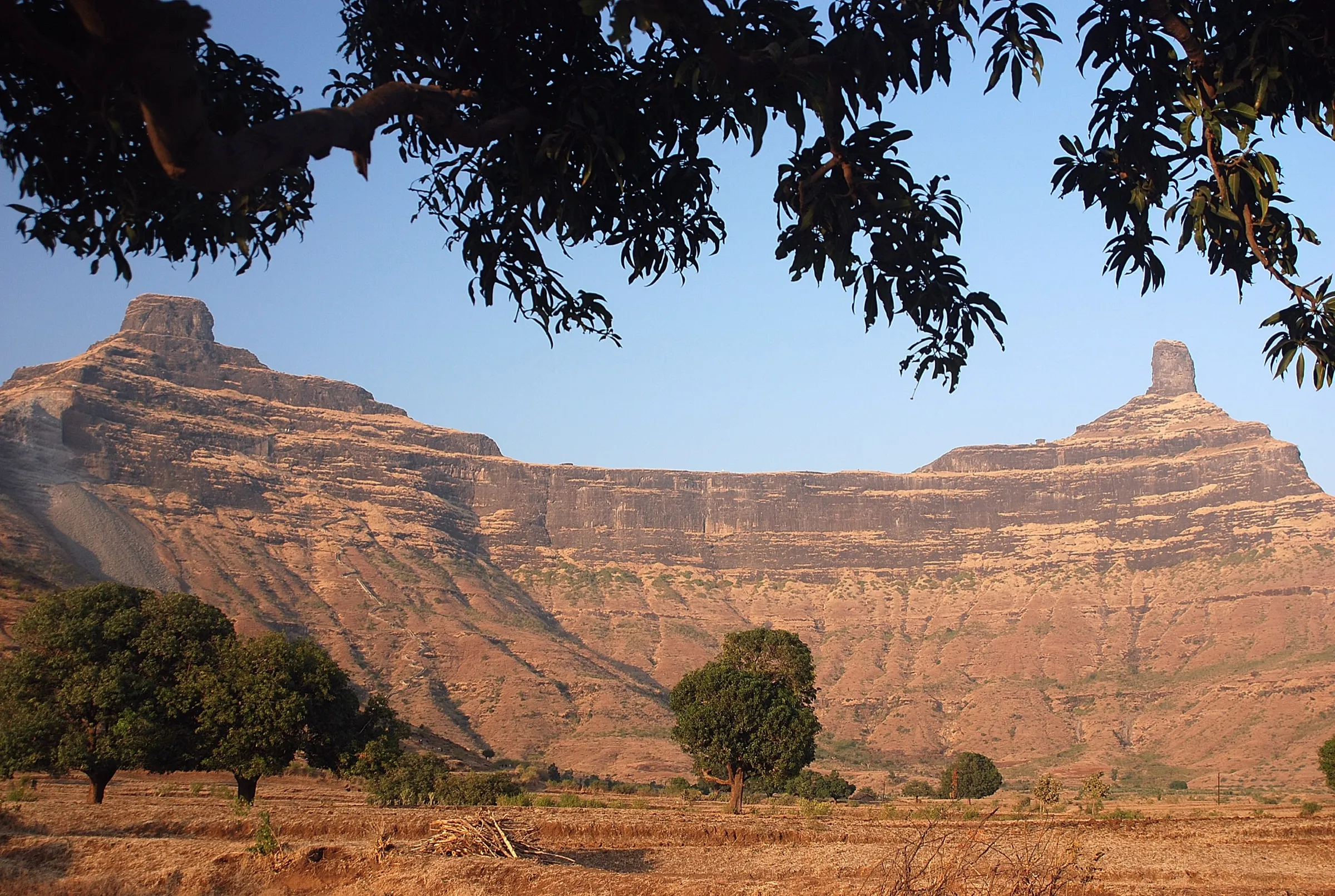
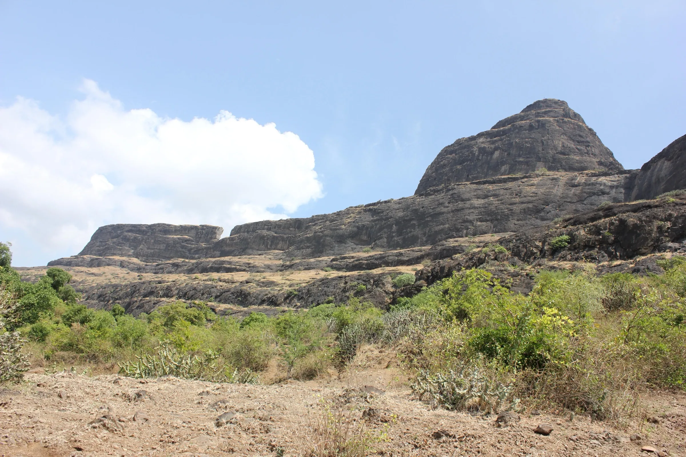
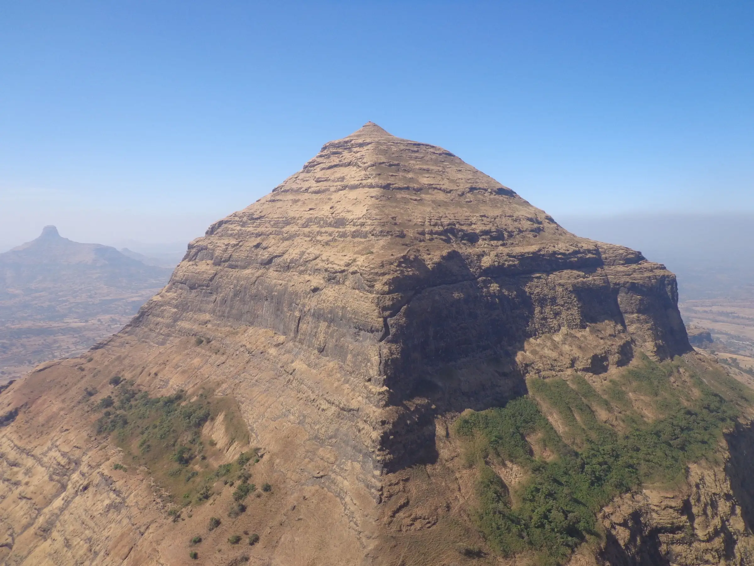
A steady climb of about 700 m on a shadeless dirt ridge to the col, then near-vertical rock-cut steps and exposed ledges with drops of several hundred metres on both Salher and Salota; short distances but hot, steep and exposed.
Photos
On the trail
The route
Day by day
Day 1 · highest point
Waghambe → Salher fort plateau (Gangasagar lake, caves)
840 m → 1,567 m → 1,500 m
Day 2
Salher fort plateau → Waghambe (via the col and Salota fort)
1,500 m → 840 m
Ups and downs
Altitude profile
Where it is
Map
Trailhead and high point only — not a recorded track. Use it with a proper map.
Weather
Next 5 days on the trail
Live forecast for the trailhead and the high point. Mountain weather changes fast — check again on the morning you start.
Trailhead · Waghambe
at 840 mLoading forecast…
High point · Salher summit (Bhagwan Parshuram temple)
at 1,567 mLoading forecast…
Each day: high / low °C · rain mm and chance · snow cm · wind km/h
Weather data: Open-Meteo.comModel forecast, not an official warning. For alerts follow IMD and the local administration.
Plan the trip
How to reach
- Trailhead
- Waghambe (nearest town: Taharabad)
- Nearest railway
- Nashik Road (Manmad Junction is about 81 km by road)
- Nearest airport
- Nashik (Ozar) Airport; Mumbai for most travellers
- By road
- Mumbai (about 280 km via Nashik, Satana and Taharabad); Nashik (about 110 km via Satana and Taharabad); Public transport: Mumbai local to Kasara, bus or shared taxi to Nashik, bus from Old CBS to Taharabad, then the local bus to Waghambe
- Drive
- About 7 h from Mumbai
Plan the trip
Permits and fees
We could not confirm the current permit rules and fees from an official source. Check with the local forest department or tourism office before you go.
Plan the trip
Cost
Self-guided
₹800–2,000
With an operator
₹3,000–4,500
Per person, ex-Mumbai. Only one operator price could be found: Treks and Trails India lists ₹3,299 for a weekend covering Salher, Salota, Mulher, Mora and Hargad with Mumbai transport, meals and a night's stay (no current departures listed, page undated). The guided range is an estimate around that figure. Self-guided is an estimate: local train to Kasara, bus or shared taxi to Nashik (about ₹70-80), bus to Taharabad (about ₹150) and a local bus to Waghambe each way, plus your own food, tent and a home-cooked meal in Waghambe.
Gear
Top picks for this trek
The gear that matters most on this route, chosen from its altitude, season and risks.
 Ad · affiliate link
 Ad · affiliate link
 Ad · affiliate link
 Ad · affiliate link
 Ad · affiliate link
 Ad · affiliate link
 Ad · affiliate link
 Ad · affiliate link
Store buttons open a search on that store, not a product we picked. As an Amazon Associate we earn from qualifying purchases. Photos show the kind of item, not a specific product. Affiliate disclosure
Packing checklist
Matched to this trek: altitude, season, days and the risks on the route.
Packed 0 of 24
Tick each item as it goes in the bag.
Know before you go
Good to know
- Mobile network
- Airtel, Vodafone and Jio work at Waghambe; weak and patchy on the trail; good coverage again on the Salher summit (Indiahikes).
- Last ATM
- Taharabad (about 23 km) or Satana (about 45 km)
- Nearest hospital
- Primary Health Centre at Salher Wadi (about 6.5 km from Waghambe); Satana and Nashik for serious cases
- Water
- None on the way up. Potable rock-cut cisterns on the Salher plateau are the only water on the trek; carry at least 3 litres from Waghambe and refill on top before Salota.
Highlights
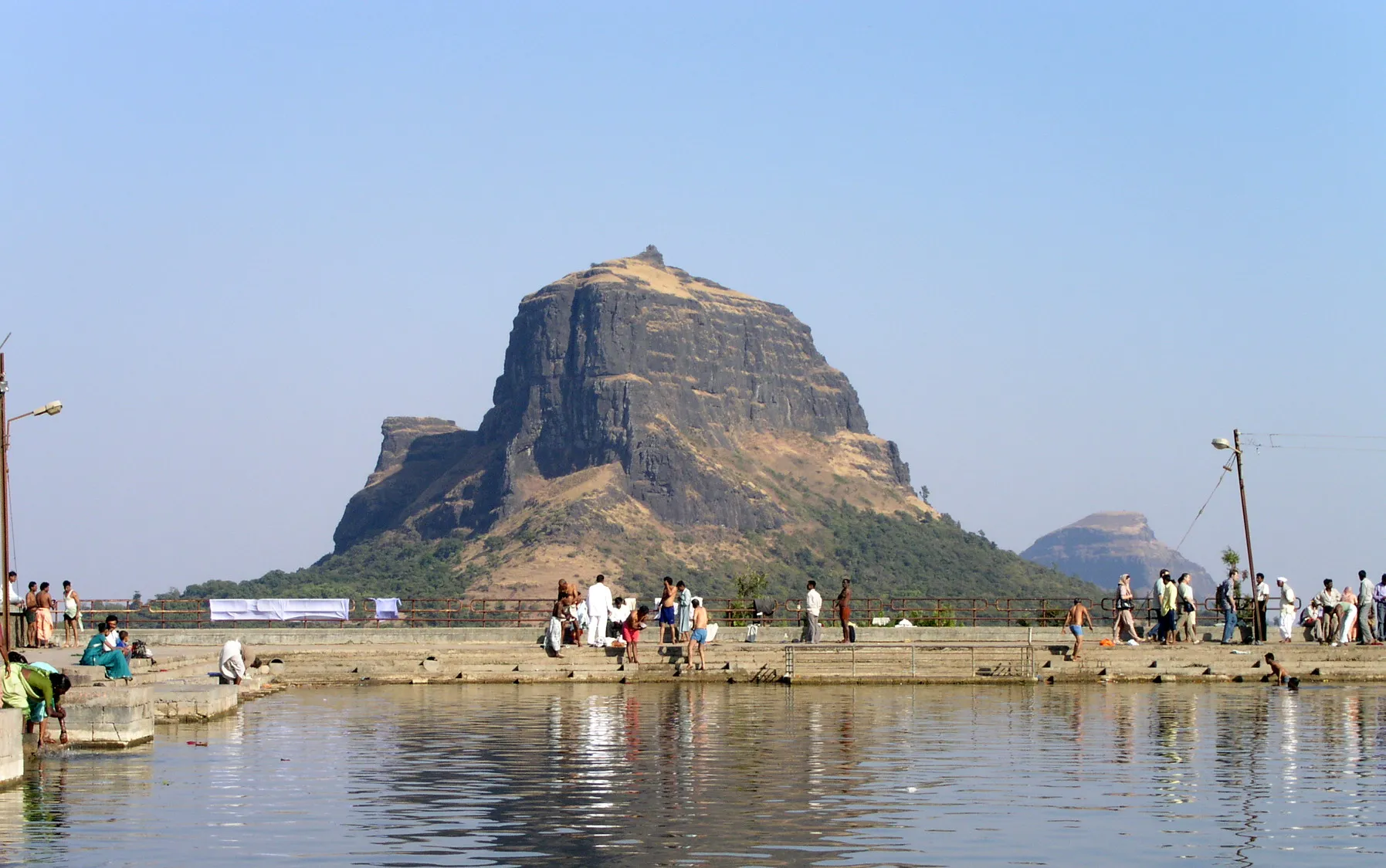
- Darshan at the temple of Bhagwan Parshuram, the sixth avatar of Bhagwan Vishnu, on the summit of Salher, the highest fort in Maharashtra (about 1,567 m)
- The Gangasagar lake and the temple of Mata Renuka beside it on the summit plateau, with rock-cut water cisterns and a line of old caves
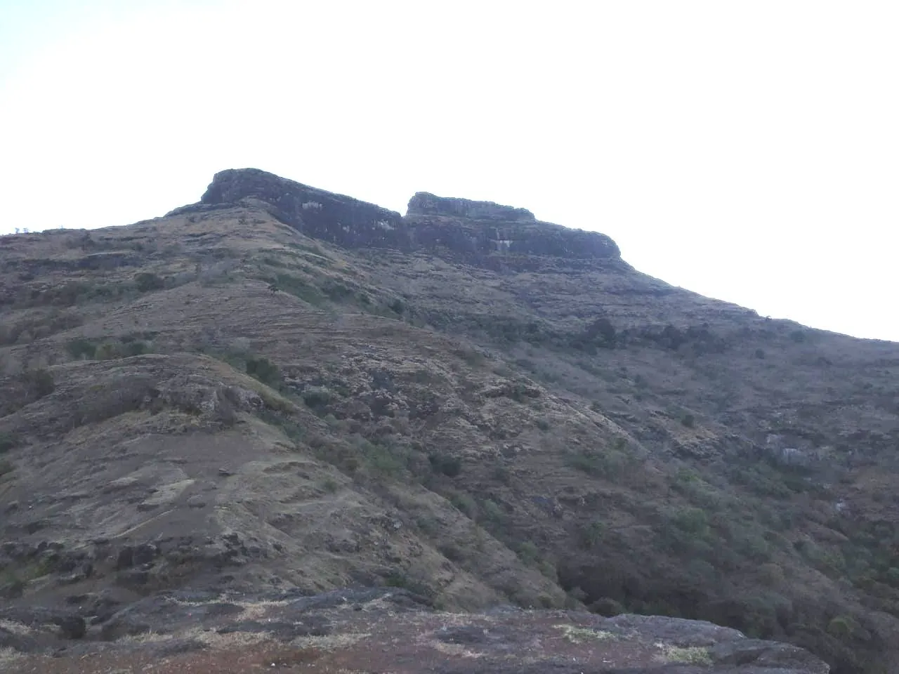
- Near-vertical rock-cut steps and stone darwazas (gateways) up the pyramid-shaped Salher hill
- Sunset and sunrise over the Selbari-Dolbari range, Salota, Mulher, Mora, Hargad and Mangi Tungi, and towards Gujarat
- Site of the Battle of Salher (1672), where the Marathas defeated the Mughals in open battle; part of the Maratha Military Landscapes UNESCO World Heritage Site (2025)
Risks
- Rock-cut steps on both Salher and Salota are near-vertical; take them slowly and use the rock on the sides. Moss and wet rock make them far more dangerous in the monsoon and just after it.
- Exposed ledges: the path past the caves on Salher has a drop of several hundred metres on one side, and on Salota the stretch between the first and second darwaza is exposed and prone to rockfall; cross it quickly without stopping.
- Almost no shade and no water on the way up; heat and dehydration are the commonest problems, and summer (March-May) is the least suitable season.
- Operators advise against the monsoon (June-September): continuous rain, slippery mud and loose gravel, and poor views. We found no formal closure order; check with Nashik district and forest authorities before a monsoon visit.
- The trail from the col to the first darwaza on Salher is faint and easy to lose; carry a GPX track.
- The last bus from Waghambe to Taharabad leaves around 4 pm (Indiahikes); plan the descent to catch it.
Know before you go
Questions
Is Salher the highest fort in Maharashtra?
Yes. Salher is the highest fort in Maharashtra and the second-highest peak in the state after Kalsubai. Sources give its height as about 1,567 m (5,140-5,175 ft).
Can beginners do the Salher-Salota trek?
Fit beginners can. Operators rate it moderate: distances are short, but the trail is steep, shadeless and has near-vertical rock-cut steps and exposed sections, so it suits people who are active and comfortable with heights.
Do I need permission to trek or camp on Salher?
Indiahikes says no permission is needed to trek or camp on Salher-Salota, like most Maharashtra forts. Salher is now part of a UNESCO World Heritage Site, so check locally for any new rules before you go.
Where can I stay on Salher fort?
Most trekkers camp on the summit plateau near Gangasagar lake or in the old caves there, which also have the only drinking water. Carry your own tent, food for dinner and breakfast, and a warm layer.
What is the best time for the Salher trek?
October to February, after the monsoon and before the summer heat. The monsoon makes the rock-cut steps slippery, and March to May is very hot with no shade on the trail.
What is at the top of Salher?
The temple of Bhagwan Parshuram stands at the highest point, about 100 m above the plateau. On the plateau are the Gangasagar lake, the temple of Mata Renuka, rock-cut cisterns and caves.
In an emergency
Save these numbers before you lose signal. Tap to call.
- 112All emergenciesIndia’s single emergency number — works in every state
- 108Ambulance
- 1077District disaster control room
You are in
District: NashikMaharashtra
- Nearest hospital
- Primary Health Centre at Salher Wadi (about 6.5 km from Waghambe); Satana and Nashik for serious cases
- Last ATM
- Taharabad (about 23 km) or Satana (about 45 km)
- Phone network
- Airtel, Vodafone and Jio work at Waghambe; weak and patchy on the trail; good coverage again on the Salher summit (Indiahikes).
Before you set off
- Tell someone your route and when you will be back.
- Carry a charged phone and a power bank.
- Download an offline map of the route.
- Turn back if the weather turns bad — the mountain will wait.
Questions about Salher
No questions yet. Ask something and trekkers who have done it can answer.
Share your trek photo with #TreksAndTrails
I trekked this
Did Salher look different from this page? Tell us what changed and we will check it.
Where this comes from
Sources
Last reviewed:
- Salher - Salota Fort Trek - Trek to the Highest Fort in Maharashtra — Indiahikes
- Salher Salota Mulher Mora Hargad Trek — Treks and Trails India
- Salher — Wikipedia
- SALHER | Durgbharari — Durgbharari
- Salher – Salota Fort Trek | Highest Fort Trek in Maharashtra — TrekUp India
Photos: Bhushan Kotakar, CC BY-SA 3.0; Shirishghan, CC BY-SA 4.0; Krushnapsaindane, CC BY 4.0; Ccmarathe, CC BY-SA 3.0