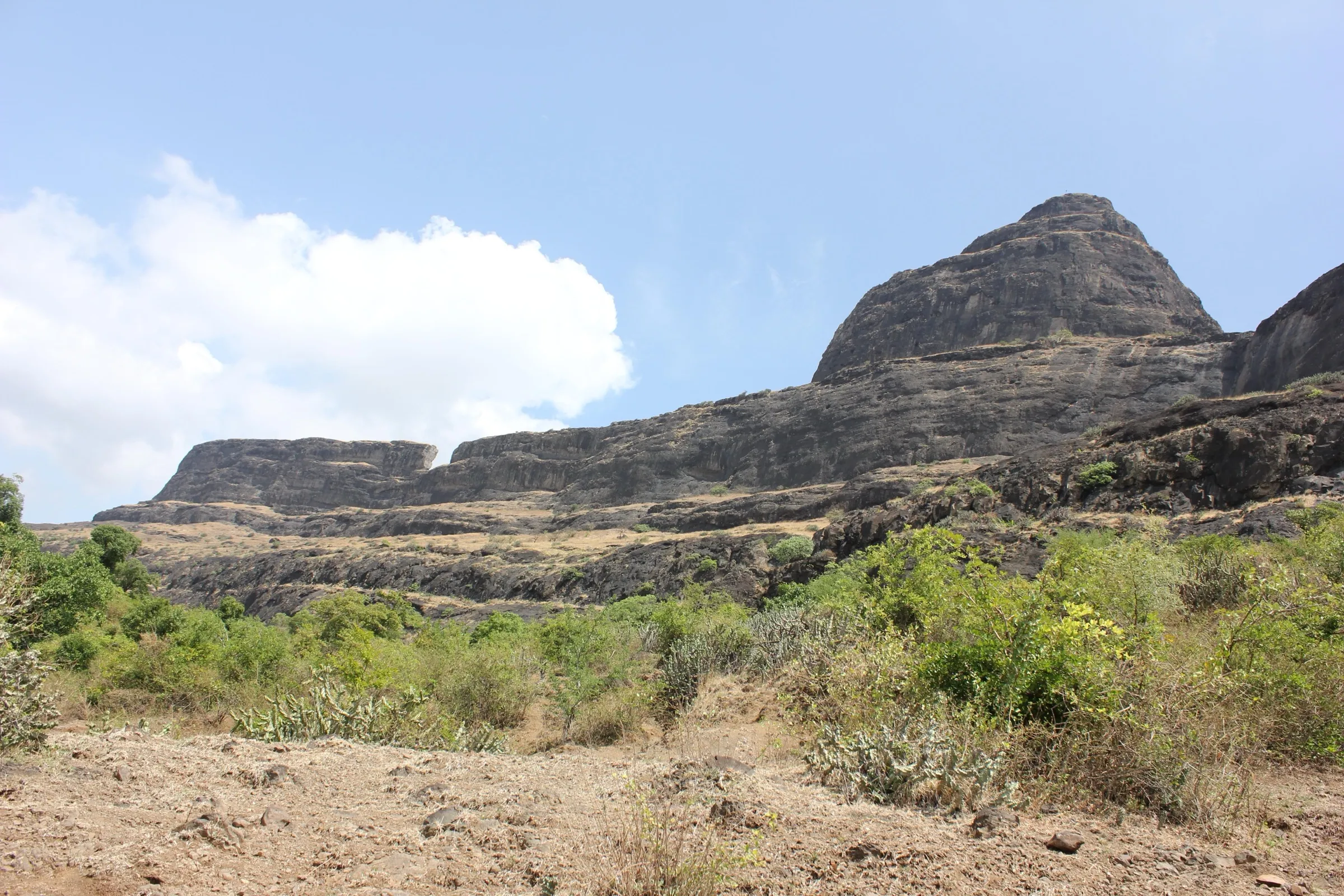
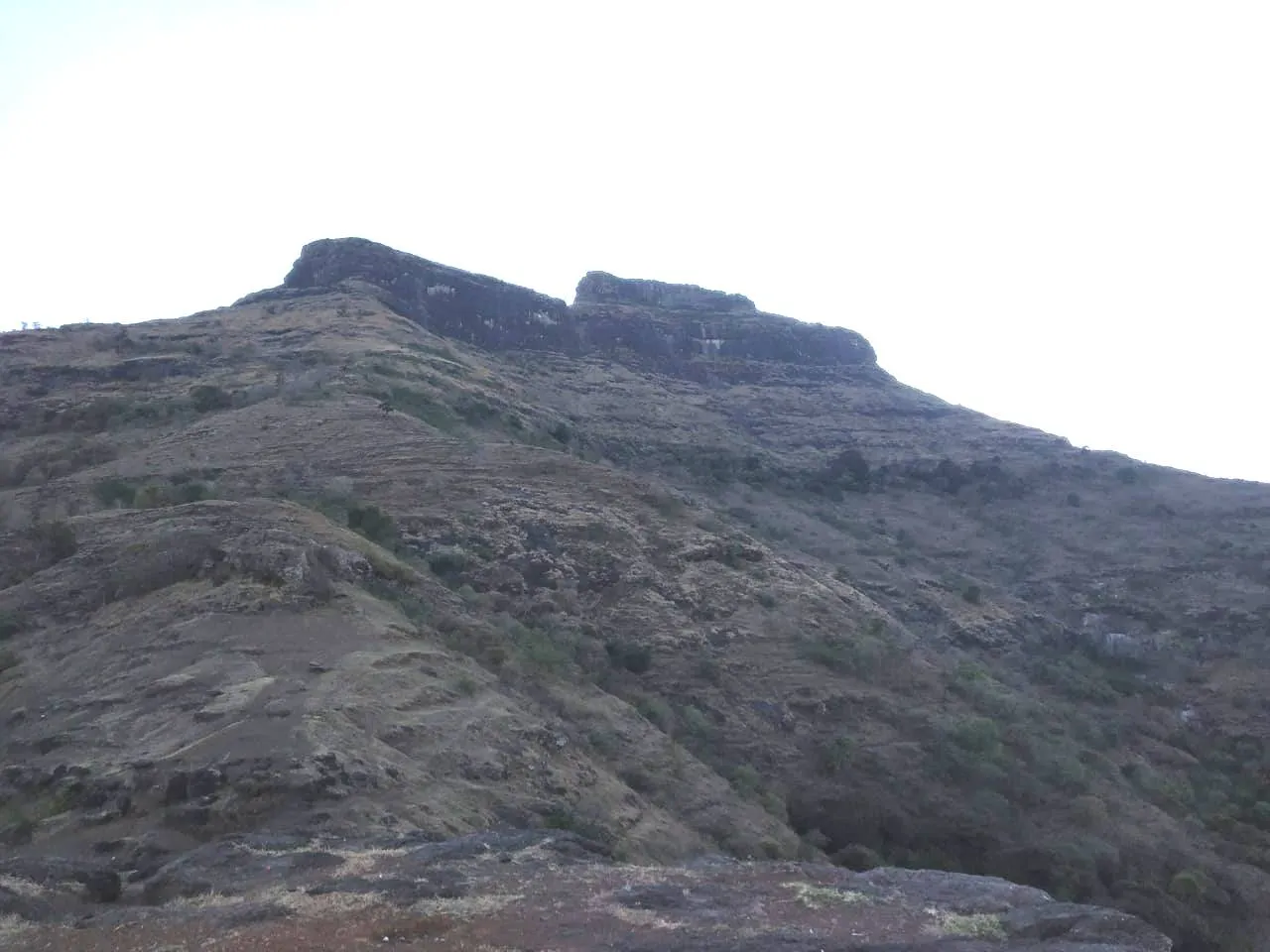
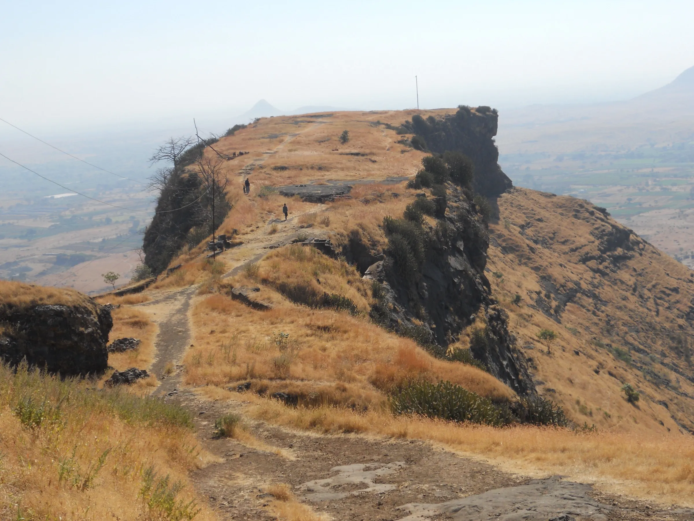
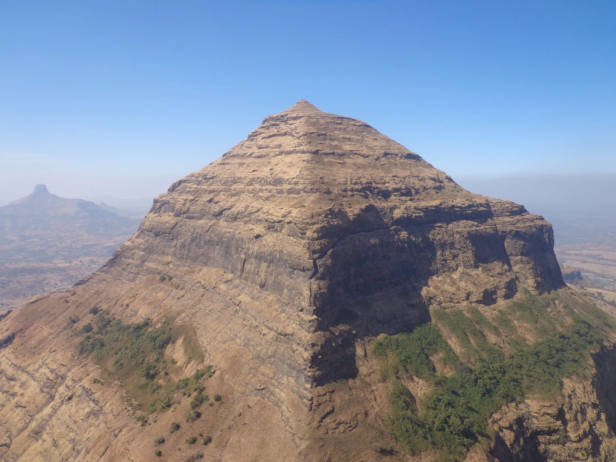
Markandeya Fort Trek
Nashik, Maharashtra
Opens without signal on this phone, with the map file and checklist. Saved for offline →
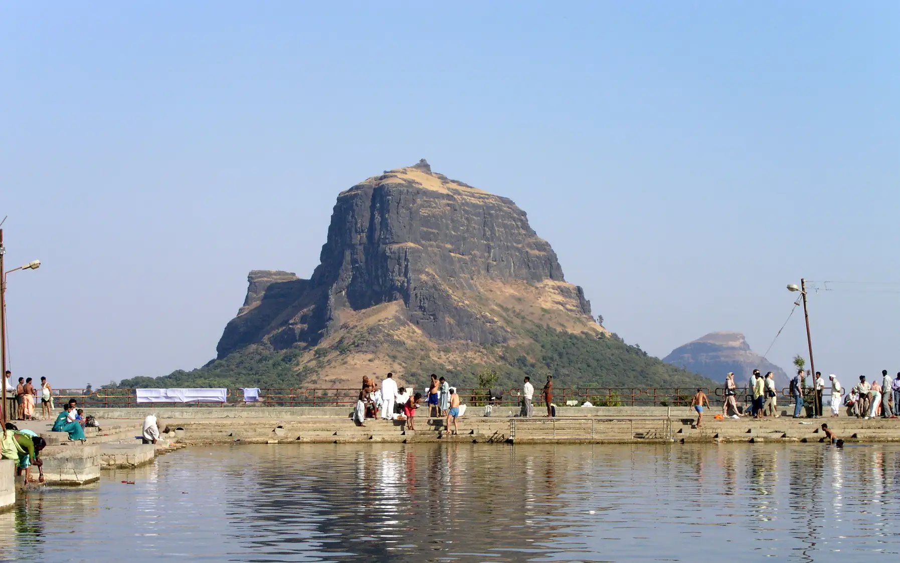 1,336 mhighest point
- Max altitude
- 1,336 m
- Days
- 1 day
- Distance
- 7.2 km
- Difficulty
- Moderate
A steep climb of about 430 m from Mulane Ghat on a railed, stepped path with an inclined iron ladder to the plateau, then rock-cut steps at 65–70 degrees with loose rock to the summit; no technical climbing, but good endurance is needed.
The route
Day by day
Day 1 · highest point
Mulane Ghat → Mulane Ghat (via the machi plateau and the Markandeshwar temple on the summit)
900 m → 1,336 m → 900 m
Ups and downs
Altitude profile
Where it is
Map
Trailhead and high point only — not a recorded track. Use it with a proper map.
Weather
Next 5 days on the trail
Live forecast for the trailhead and the high point. Mountain weather changes fast — check again on the morning you start.
Trailhead · Mulane Ghat (Mulanbari khind) above Babapur
at 900 mLoading forecast…
High point · Markandeshwar temple, Markandeya Fort summit
at 1,336 mLoading forecast…
Each day: high / low °C · rain mm and chance · snow cm · wind km/h
Weather data: Open-Meteo.comModel forecast, not an official warning. For alerts follow IMD and the local administration.
Plan the trip
How to reach
- Trailhead
- Mulane Ghat (Mulanbari khind) above Babapur (nearest town: Vani (Wani))
- Nearest railway
- Nashik Road (about 60 km)
- Nearest airport
- Mumbai, Chhatrapati Shivaji Maharaj International (about 216 km); Nashik (Ozar) is closer for domestic flights
- By road
- Nashik – Dindori – Vani – Vani–Kalwan road – Babapur – Mulane Ghat; Mumbai – Nashik (NH160) – Vani – Mulane Ghat (about 221 km)
- Drive
- About 1.5 h from Nashik
Plan the trip
Permits and fees
We could not confirm the current permit rules and fees from an official source. Check with the local forest department or tourism office before you go.
Plan the trip
Cost
Self-guided
₹300–1,200
With an operator
₹1,200–2,000
No current operator price for Markandeya was found (Fort Trekkers listed Rs 500 per person in 2018); the guided range is an estimate based on similar one-day Nashik fort treks ex-Mumbai/Nashik. Self-guided ex-Nashik: MSRTC bus towards Kalwan to Mulane Ghat (or a shared jeep, which Indiahikes puts at about Rs 600 per jeep), plus food packed from Nashik or Vani.
Gear
Top picks for this trek
The gear that matters most on this route, chosen from its altitude, season and risks.
 Ad · affiliate link
 Ad · affiliate link
 Ad · affiliate link
 Ad · affiliate link
 Ad · affiliate link
- Ad · affiliate link
 Ad · affiliate link
 Ad · affiliate link
Store buttons open a search on that store, not a product we picked. As an Amazon Associate we earn from qualifying purchases. Photos show the kind of item, not a specific product. Affiliate disclosure
Packing checklist
Matched to this trek: altitude, season, days and the risks on the route.
Packed 0 of 23
Monsoon months (Aug–Sep): pack everything in plastic or a dry bag and wear shoes with good grip.
Tick each item as it goes in the bag.
Know before you go
Good to know
- Mobile network
- Signal at Mulane village; Indiahikes reports weak, unstable signal for some networks on the top.
- Last ATM
- Kalwan or Vani; carry cash from Nashik.
- Nearest hospital
- Datta Krupa Super Speciality Hospital, Dindori (about 27 km); larger hospitals in Nashik.
- Water
- Indiahikes reports taps and village-built water points on the plateau (the last potable water) and none on the summit; Durg Bharari reports year-round water at Ramkund on the machi and says the Kamandalu Tirtha cistern is silted and holds drinking water mainly in the rains. Carry 2 litres and purify.
Highlights
- Markandeshwar temple on the summit, with the murti of Maharshi Markandeya, a Shivling and Nandi Maharaj outside — the place where Markandeya Rishi did tapasya
- A wide machi plateau with ashrams of resident sadhus, old stone murtis, water cisterns and ruined ramparts
- Rock-cut cisterns on the final climb, including Kamandalu Tirtha under a small dome, and the two 'Dhyan Gumpha' meditation caves
- Kotitirth pond, where pilgrims take a holy dip on Somvati Amavasya
- Close views of Saptashrungi Gad across the gorge, and of Ravlya–Javlya, Dhodap, Kanchana–Manchana and, on clear days, Indrai on the Satmala range
Risks
- The final climb is on rock-cut steps inclined at 65–70 degrees with loose rocks and boulders; keep a gap between trekkers and descend slowly.
- An inclined iron ladder leads onto the plateau; hold the side supports, especially on the way down.
- Rocky sections turn slippery in peak monsoon (two guides advise against trekking then). No forest or district order closing Markandeya was found, but Nashik authorities have shut other forts and Saptashrungi during heavy rain in recent years — check locally before a monsoon visit.
- The alternative route from the Saptashrungi Gad side has a steep descent to a col and a steep climb; attempt it only with experience, and descend by the Mulane route.
- Summer heat is severe on the exposed, treeless slopes; start early and carry at least 2 litres of water.
Know before you go
Questions
Do I need a permit for the Markandeya Fort trek?
Indiahikes says no permission from the forest department is needed. Durg Bharari notes the Forest Department has developed the fort as a tourist spot with a shelter and parking at the gorge, so check at the base for any fee or seasonal restriction.
How long is the Markandeya Fort trek and how much time does it take?
From Mulane Ghat it is about 3.5–3.6 km one way (Indiahikes: 600 m to the plateau, about 2 km across it and 1 km to the top), so about 7 km return. Indiahikes allows about 4.5 hours for the round trip; Marathi Wikipedia and Wikipedia say the fort itself is about an hour's climb from the gorge.
What is the best time for the Markandeya Fort trek?
August to February, per Indiahikes and Treks and Trails India — green slopes and wildflowers after the rains, and clear views in winter. Summer is very hot and the rocky sections are slippery in peak monsoon.
How high is Markandeya Fort?
Most sources (Indiahikes, Wikipedia, Marathi Wikipedia, Treks and Trails India) give about 4,383–4,384 ft, or about 1,336 m. Durg Bharari gives 4,130 ft.
Who was Markandeya and what is on the summit?
Maharshi Markandeya is the chiranjeevi rishi and devotee of Bhagwan Shiva; local tradition holds that he lived and did tapasya on this hill, which gives it its name. The summit temple of Markandeshwar has his murti and a Shivling, with Nandi outside.
Can I combine Markandeya with Saptashrungi?
Yes. A steeper trail links the Saptashrungi Gad plateau to Markandeya through the col between the two hills (about 4.5 km and 3.5 hours, per Indiahikes). It is harder than the Mulane route and suits experienced trekkers.
In an emergency
Save these numbers before you lose signal. Tap to call.
- 112All emergenciesIndia’s single emergency number — works in every state
- 108Ambulance
- 1077District disaster control room
You are in
District: NashikMaharashtra
- Nearest hospital
- Datta Krupa Super Speciality Hospital, Dindori (about 27 km); larger hospitals in Nashik.
- Last ATM
- Kalwan or Vani; carry cash from Nashik.
- Phone network
- Signal at Mulane village; Indiahikes reports weak, unstable signal for some networks on the top.
Before you set off
- Tell someone your route and when you will be back.
- Carry a charged phone and a power bank.
- Download an offline map of the route.
- Turn back if the weather turns bad — the mountain will wait.
Questions about Markandeya Fort
No questions yet. Ask something and trekkers who have done it can answer.
Share your trek photo with #TreksAndTrails
I trekked this
Did Markandeya Fort look different from this page? Tell us what changed and we will check it.
Where this comes from
Sources
Last reviewed:
- Markandeya Fort Trek – documented trek — Indiahikes
- Markandeya Fort Trek near Nashik — Treks and Trails India
- Markanda Fort – Wikipedia — Wikipedia (English)
- मार्कंडा किल्ला – विकिपीडिया — Wikipedia (Marathi)
- Markandeya – Durg Bharari — Durg Bharari
- मार्कंड्या किल्ला – Markandeya Fort in Nashik — Fort Trekkers
Photos: Андрей Коваль, CC BY 3.0