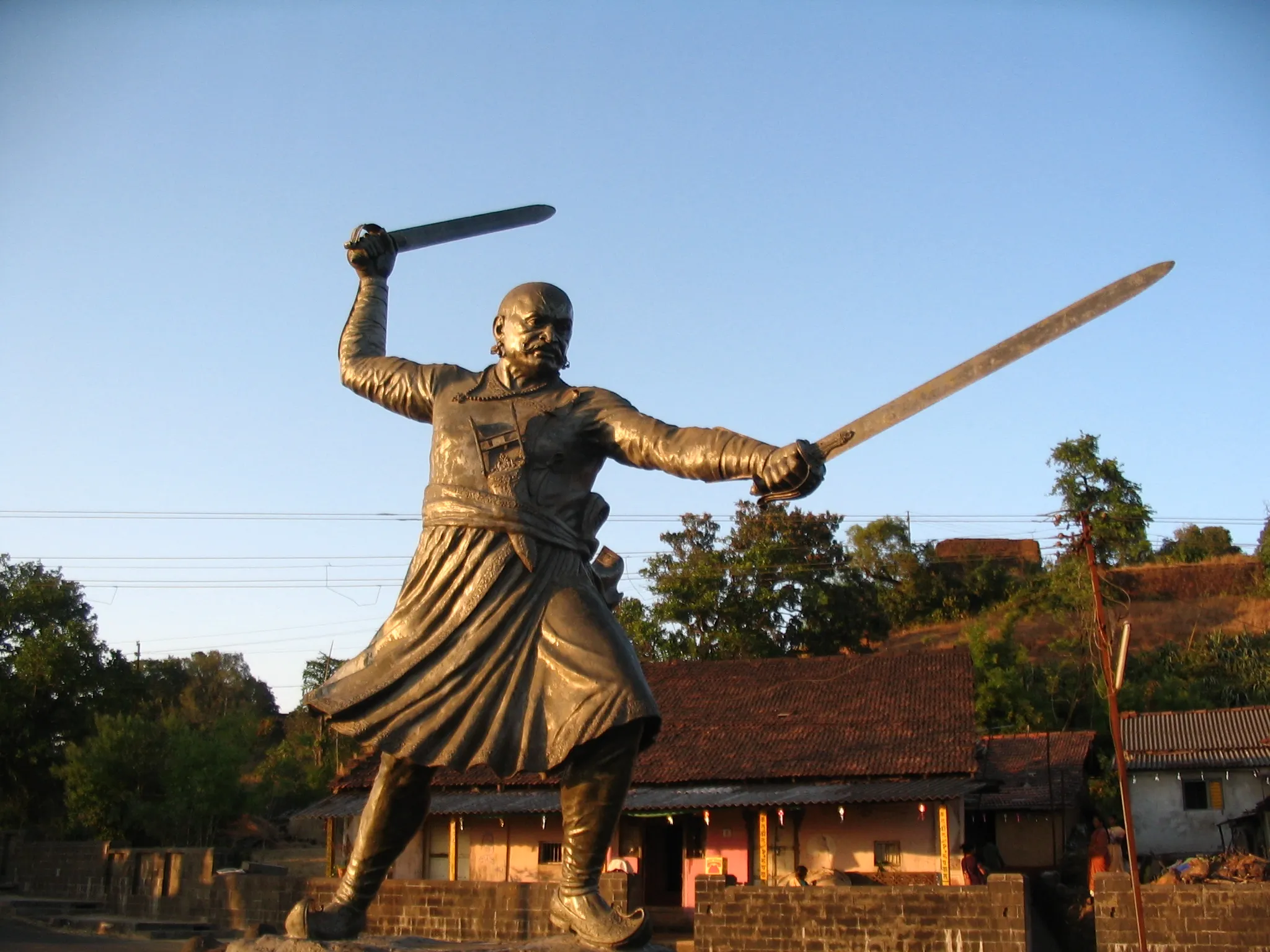
Rangana Fort Trek
Kolhapur, Maharashtra
Opens without signal on this phone, with the map file and checklist. Saved for offline →
- Max altitude
- 679 m
- Days
- 1 day
- Distance
- 14 km
- Difficulty
- Moderate
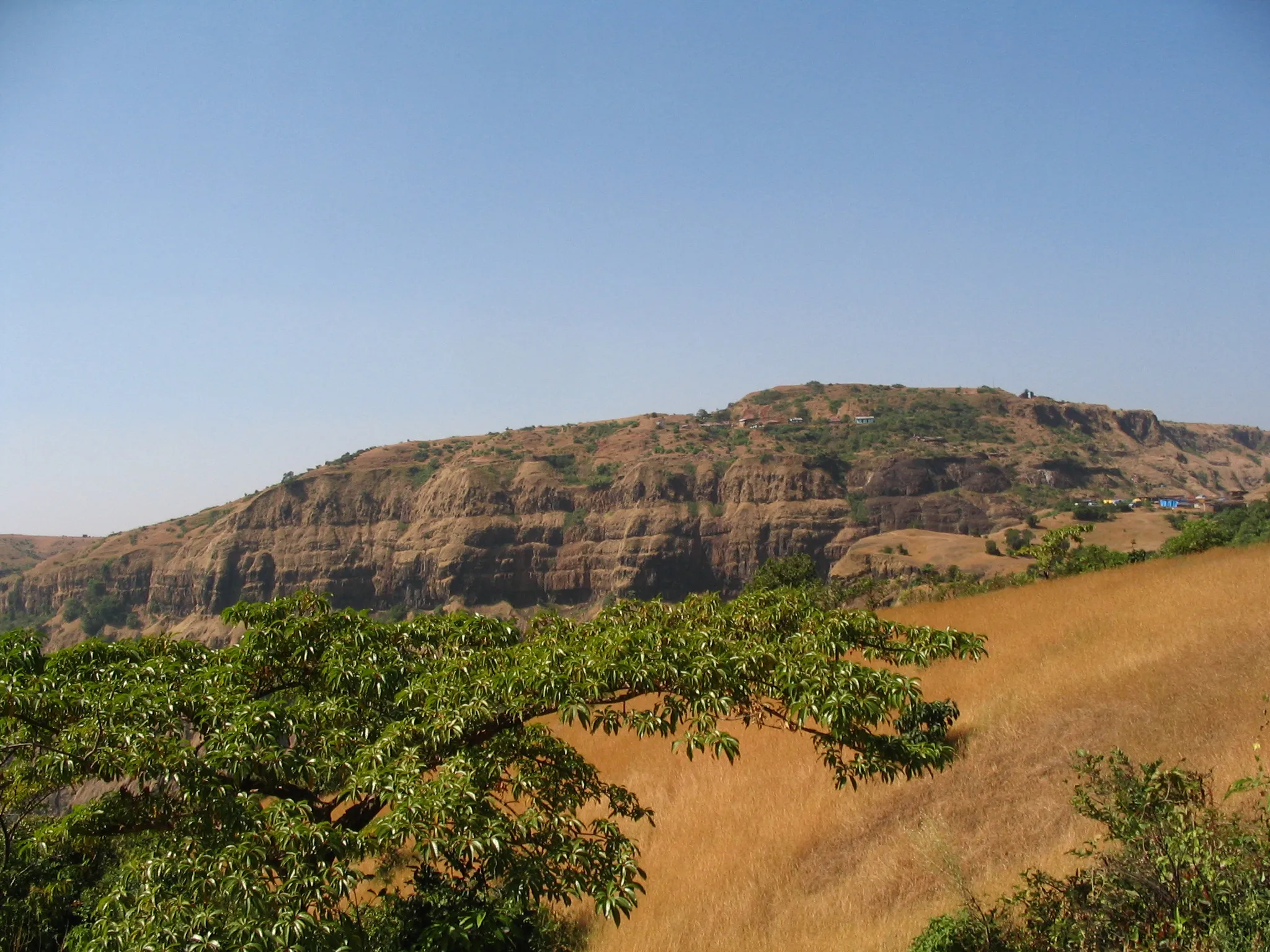
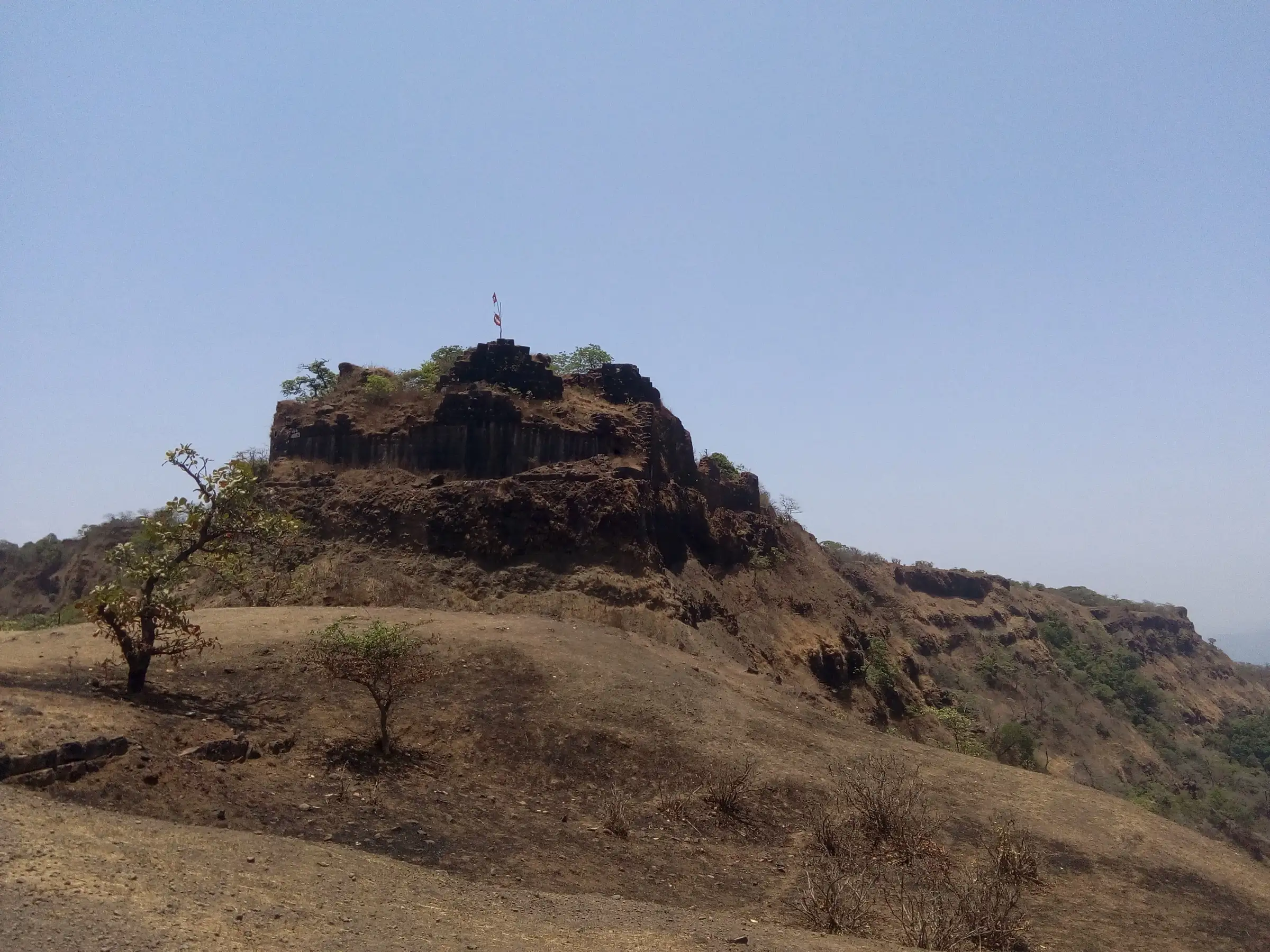
Little height gain (the plateau and fort both sit at roughly 660-680 m), but the approach is long, through dense, lonely forest, and the fort itself is large (about 2.5 km north to south) with ruined gates and a partly collapsed wall at Hattisond. Wikipedia and Durg Bharari both grade it medium.
Photos
On the trail
The route
Day by day
Day 1 · highest point
Bhatwadi → Bhatwadi (via Chikkewadi plateau, Rangana Fort tour and back)
667 m → 679 m → 667 m
Ups and downs
Altitude profile
Where it is
Map
Trailhead and high point only — not a recorded track. Use it with a proper map.
Weather
Next 5 days on the trail
Live forecast for the trailhead and the high point. Mountain weather changes fast — check again on the morning you start.
Trailhead · Bhatwadi (jeep track via Chikkewadi)
at 667 mLoading forecast…
High point · Rangana Fort top (Rangnai Devi temple area)
at 679 mLoading forecast…
Each day: high / low °C · rain mm and chance · snow cm · wind km/h
Weather data: Open-Meteo.comModel forecast, not an official warning. For alerts follow IMD and the local administration.
Plan the trip
How to reach
- Trailhead
- Bhatwadi (jeep track via Chikkewadi) (nearest town: Gargoti)
- Nearest railway
- Kolhapur (Chhatrapati Shahu Maharaj Terminus), about 100 km by road
- Nearest airport
- Kolhapur Airport (Ujlaiwadi); Goa or Belagavi for wider connections
- By road
- Kolhapur (about 105 km to Chikkewadi via Gargoti, Patgaon, Tambyachiwadi and Bhatwadi); Kudal, Sindhudurg (about 40 km to Narur village for the Konkan-side climb)
- Drive
- About 3 h from Kolhapur
Plan the trip
Permits and fees
We could not confirm the current permit rules and fees from an official source. Check with the local forest department or tourism office before you go.
Plan the trip
Cost
Self-guided
₹500–2,500
With an operator
₹1,500–4,000
Per person, ex-Kolhapur. No operator currently publishes a priced day trek to Rangana (Foliage Outdoors lists only a youth forest camp ex-Pune, with no price shown), so both ranges are our estimates. Self-guided: state bus Kolhapur-Gargoti-Patgaon-Tambyachiwadi and back, food, and an optional local jeep on the 8 km unpaved road to Chikkewadi. Guided: shared cost of a hired jeep and a local guide from the villages below the fort. Check any forest entry charge locally.
Gear
Top picks for this trek
The gear that matters most on this route, chosen from its altitude, season and risks.
 Ad · affiliate link
 Ad · affiliate link
 Ad · affiliate link
 Ad · affiliate link
 Ad · affiliate link
 Ad · affiliate link
 Ad · affiliate link
- Ad · affiliate link
Store buttons open a search on that store, not a product we picked. As an Amazon Associate we earn from qualifying purchases. Photos show the kind of item, not a specific product. Affiliate disclosure
Packing checklist
Matched to this trek: altitude, season, days and the risks on the route.
Packed 0 of 17
Tick each item as it goes in the bag.
Know before you go
Good to know
- Mobile network
- Not confirmed by our sources; expect weak or no signal on the forested plateau and the fort. Download offline maps.
- Last ATM
- Not confirmed by our sources; carry cash from Gargoti or Kolhapur.
- Nearest hospital
- Primary Health Centre at Patgaon (mapped on OpenStreetMap) for first care; Gargoti or Kolhapur for anything serious.
- Water
- Durg Bharari reports a square stepwell inside the Nimbalkar Wada compound with drinkable water all year, and another at the Rangnai temple; several other tanks on the fort are dry or stagnant. Carry 2-3 litres and treat any water.
Highlights
- One of the largest and least-visited forts of the Kolhapur Sahyadri, about 2.5 km long, built to guard the Hanumant Ghat down to the Konkan
- Rangnai Devi temple with a 15-foot stone deepmal, Shiva, Ganesh and Hanuman temples, and a samadhi temple with three Shivlingas
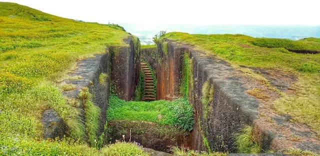
- Ganesh, Hanumant, Konkan and Yashwant gates, the Nimbalkar Wada with a Persian inscription, and the Hattisond rock spur
- Wide views west over the forested ghats to the Konkan, and dense evergreen forest on the approach
- History from Shilahara King Bhoja II (12th century) to Chhatrapati Shivaji Maharaj, who took the fort in 1664 and lifted its siege in 1667
Risks
- The forest around the fort is dense and remote; Durg Bharari warns of gaur (Indian bison), wild boar and bears. Go in a group, start early and do not walk after dark.
- The left-side wall at Hattisond has partly collapsed; take care on the descent there. The old path from Yashwant Gate down to Narur is broken and dangerous from disuse.
- In the monsoon the unpaved road to Chikkewadi cannot be driven by jeep, and laterite paths and rock steps turn slippery; expect leeches and fog.
- No current forest-department or district order for Rangana was found either way; ask at the forest office or Patgaon before going, especially in the monsoon.
- Route distances on this page are our estimates; no publisher gives a measured distance from Bhatwadi or Chikkewadi to the fort.
Know before you go
Questions
Where is Rangana Fort and what is its other name?
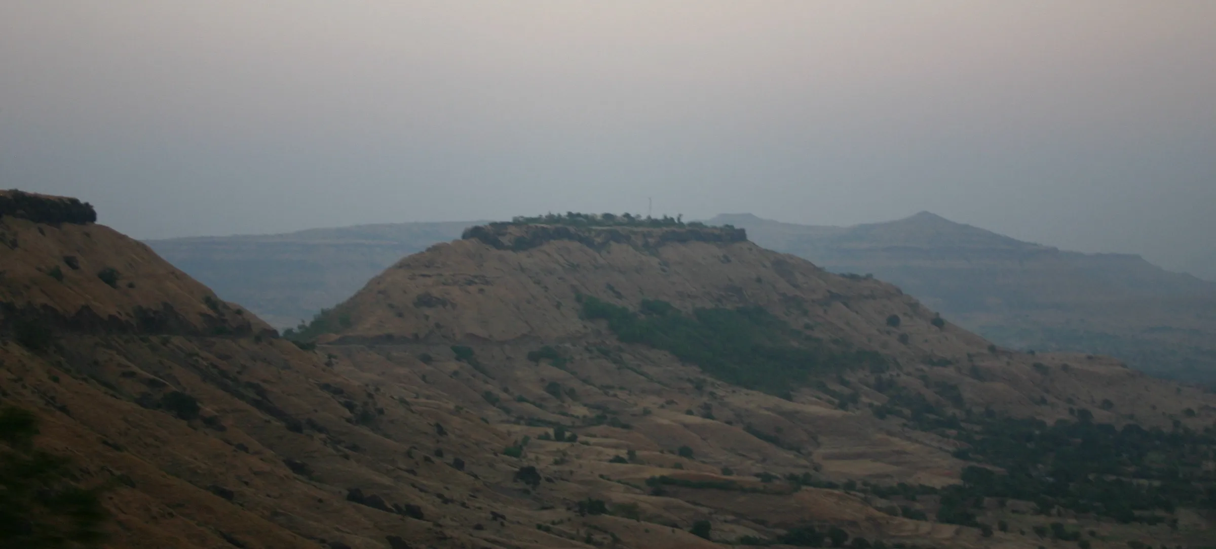
Rangana, also called Prasiddhagad, is in Bhudargad taluka of Kolhapur district, on the Sahyadri crest at the Kolhapur-Sindhudurg boundary. It stands about 679 m (2,227 ft) above sea level; Durg Bharari gives 2,180 ft.
How do I reach Rangana Fort from Kolhapur?
Drive about 105 km via Gargoti, Patgaon, Tambyachiwadi and Bhatwadi to Chikkewadi. State buses go only as far as Tambyachiwadi; from there an 8 km unpaved road runs to Chikkewadi, or you can walk about two hours through the forest to the plateau in front of the fort. Outside the monsoon a jeep can reach that plateau.
Is there a route from the Konkan side?
Yes. From Narur village in Sindhudurg district, about 40 km from Kudal, it is roughly two and a half hours of climbing to the pass below the fort's northern bastion. The old Yashwant Gate path towards Narur is broken, so use the main route and a local guide.
How long does it take to see the whole fort?
Durg Bharari says a full tour of the fort takes about six hours, because it is about 2.5 km long and 1.25 km wide with gates, temples and tanks spread across it. Add the approach walk and plan a full day.
Is drinking water available on Rangana Fort?
A stepwell inside the Nimbalkar Wada compound is reported to hold drinkable water all year, and there is another at the Rangnai temple. Many other tanks are dry, so carry enough water and treat what you collect.
In an emergency
Save these numbers before you lose signal. Tap to call.
- 112All emergenciesIndia’s single emergency number — works in every state
- 108Ambulance
- 1077District disaster control room
You are in
District: KolhapurMaharashtra
- Nearest hospital
- Primary Health Centre at Patgaon (mapped on OpenStreetMap) for first care; Gargoti or Kolhapur for anything serious.
- Last ATM
- Not confirmed by our sources; carry cash from Gargoti or Kolhapur.
- Phone network
- Not confirmed by our sources; expect weak or no signal on the forested plateau and the fort. Download offline maps.
Before you set off
- Tell someone your route and when you will be back.
- Carry a charged phone and a power bank.
- Download an offline map of the route.
- Turn back if the weather turns bad — the mountain will wait.
Questions about Rangana Fort
No questions yet. Ask something and trekkers who have done it can answer.
Share your trek photo with #TreksAndTrails
I trekked this
Did Rangana Fort look different from this page? Tell us what changed and we will check it.
Where this comes from
Sources
Last reviewed:
- Rangana Fort — Wikipedia
- Rangana — Durg Bharari
Photos: Akki5, CC BY-SA 4.0; Akki5, CC BY-SA 4.0; Pmohite, CC BY-SA 3.0