Prashar Lake Trek
Mandi, Himachal Pradesh
Opens without signal on this phone, with the map file and checklist. Saved for offline →
- Max altitude
- 2,730 m
- Satellite terrain suggests about 2,595 m
- Days
- 2 days
- Distance
- 16 km
- Difficulty
- Easy
A short weekend trek of about 7-9 km each way with a gain of roughly 900 m, mostly gradual through forest with a few short steep pitches; no technical sections, but snow and ice in winter and slippery mud in the monsoon make it harder.
Photos
On the trail
The route
Day by day
Day 1 · highest point
Baggi (drive from Mandi, about 27-30 km) → Prashar Lake
1,844 m → 2,730 m
Day 2
Prashar Lake → Baggi (drive back to Mandi)
2,730 m → 1,844 m
Ups and downs
Altitude profile
Where it is
Map
Trailhead and high point only — not a recorded track. Use it with a proper map.
Weather
Next 5 days on the trail
Live forecast for the trailhead and the high point. Mountain weather changes fast — check again on the morning you start.
Trailhead · Baggi
at 1,844 mLoading forecast…
High point · Prashar Lake
at 2,730 mLoading forecast…
Each day: high / low °C · rain mm and chance · snow cm · wind km/h
Weather data: Open-Meteo.comModel forecast, not an official warning. For alerts follow IMD and the local administration.
Plan the trip
How to reach
- Trailhead
- Baggi (nearest town: Mandi)
- Nearest railway
- Chandigarh (broad gauge); Mandi itself has no broad-gauge station
- Nearest airport
- Bhuntar (Kullu-Manali) Airport
- By road
- Mandi (about 27-30 km to Baggi, 1-2 hours by taxi); Delhi to Mandi by overnight Volvo bus (about 430 km, 10-12 hours); Chandigarh to Mandi by bus (6-7 hours)
- Drive
- About 8 h from Chandigarh
Plan the trip
Permits and fees
We could not confirm the current permit rules and fees from an official source. Check with the local forest department or tourism office before you go.
Plan the trip
Cost
Self-guided
₹1,500–3,500
With an operator
₹2,500–3,500
Per person, ex-Mandi. Guided prices published October 2026, all Mandi to Mandi: Himtrek ₹2,499 + 5% GST; Trekkers of India ₹2,999 + 5% GST (travel charges extra); Himalayan Hikers ₹3,000 + 5% GST + ₹80 insurance. Self-guided is an estimate: shared taxi or local bus Mandi-Baggi and back, one night in a dormitory, rest house or own tent at the lake, and simple meals.
Gear
Top picks for this trek
The gear that matters most on this route, chosen from its altitude, season and risks.
 Ad · affiliate link
 Ad · affiliate link
 Ad · affiliate link
 Ad · affiliate link
 Ad · affiliate link
 Ad · affiliate link
- Ad · affiliate link
 Ad · affiliate link
Store buttons open a search on that store, not a product we picked. As an Amazon Associate we earn from qualifying purchases. Photos show the kind of item, not a specific product. Affiliate disclosure
Packing checklist
Matched to this trek: altitude, season, days and the risks on the route.
Packed 0 of 27
Monsoon months (Jun, Sep): pack everything in plastic or a dry bag and wear shoes with good grip.
Tick each item as it goes in the bag.
Know before you go
Good to know
- Mobile network
- Only intermittent BSNL signal beyond Mandi, per Indiahikes; no charging points on the trail.
- Last ATM
- Mandi
- Nearest hospital
- Mandi (district hospital) for first care and serious cases
- Water
- One source at Til, about 2.6 km into the climb, and a small pump house on the return route; water is available at the lake campsite. Carry 2 litres and treat all water.
Highlights
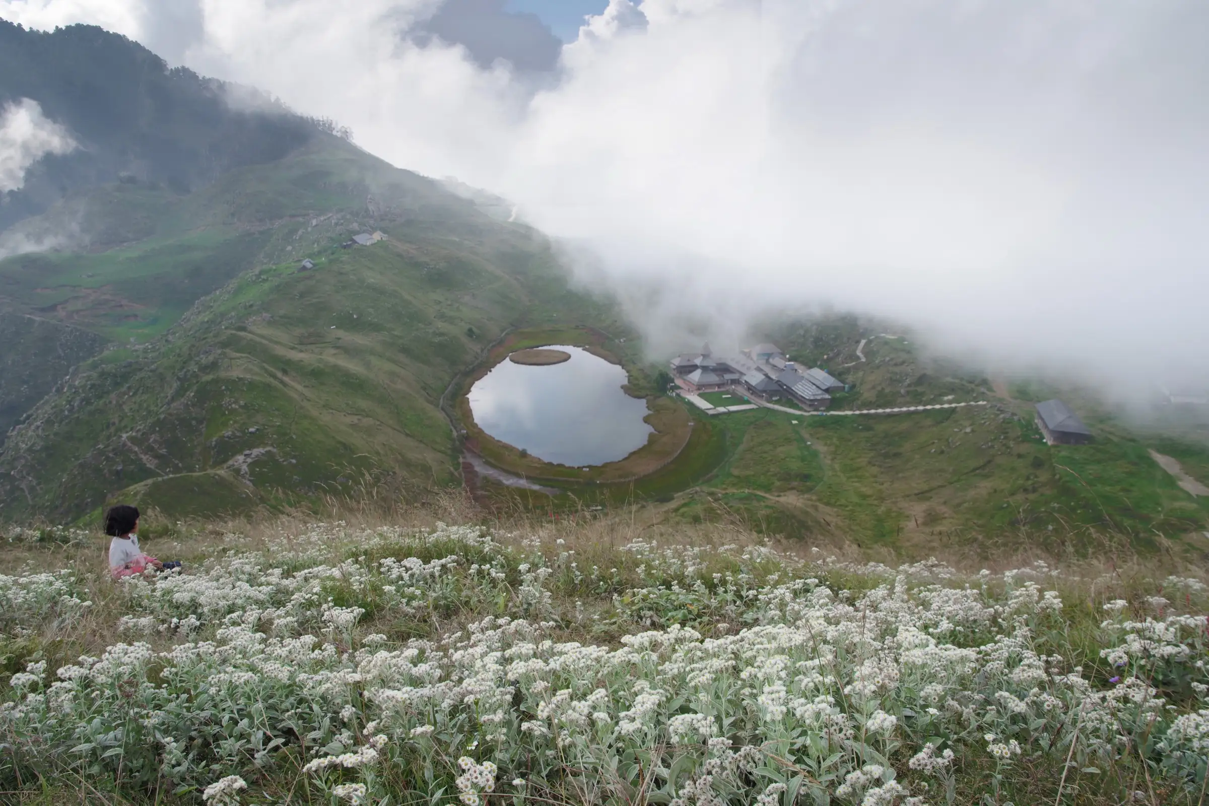
- Prashar Lake at about 2,730 m, with its floating island of turf that drifts across the water
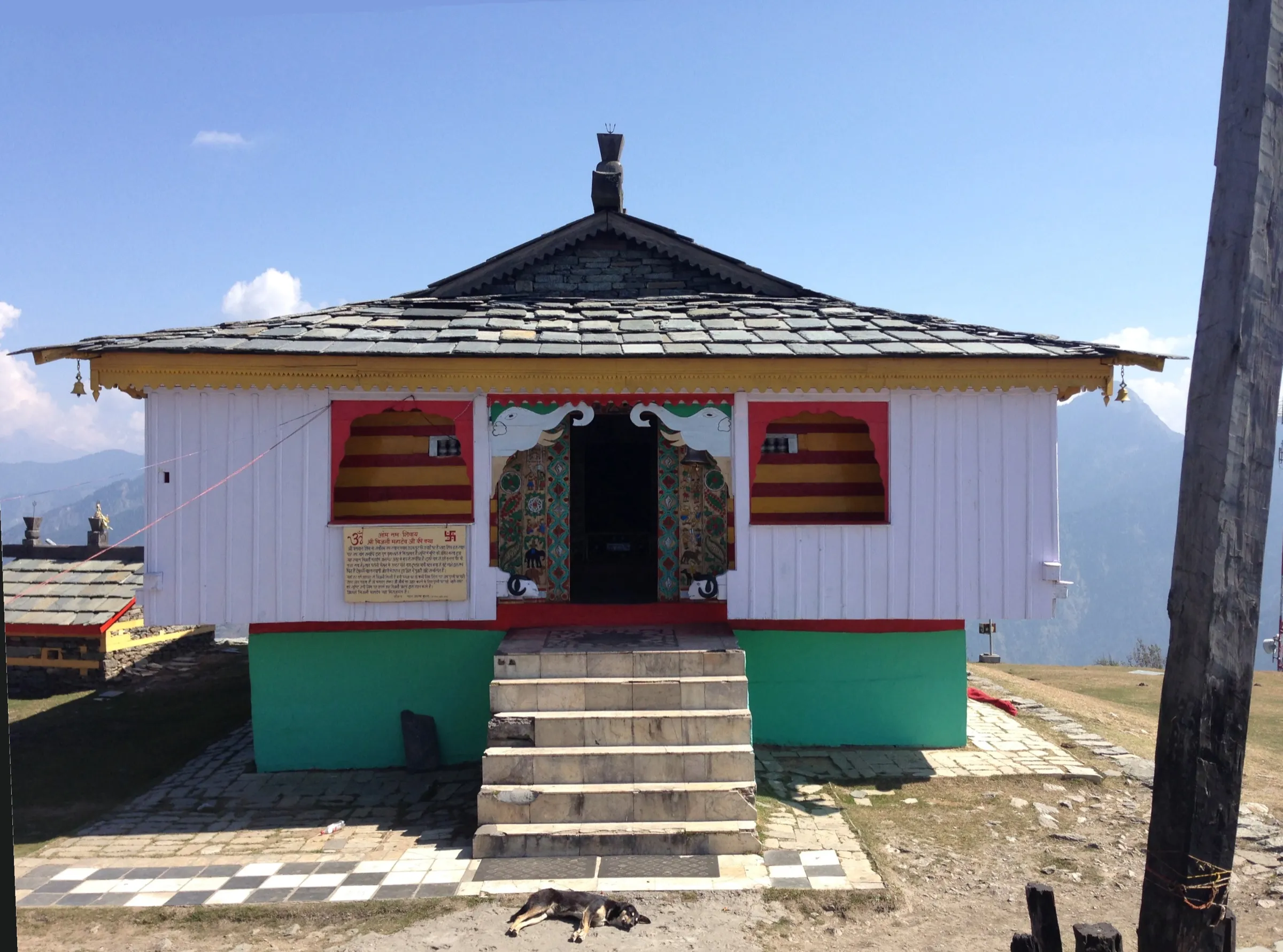
- The three-tiered pagoda-style wooden temple of Maharishi Parashar beside the lake, which tradition credits to Raja Ban Sen of Mandi and dates to the 13th-14th century
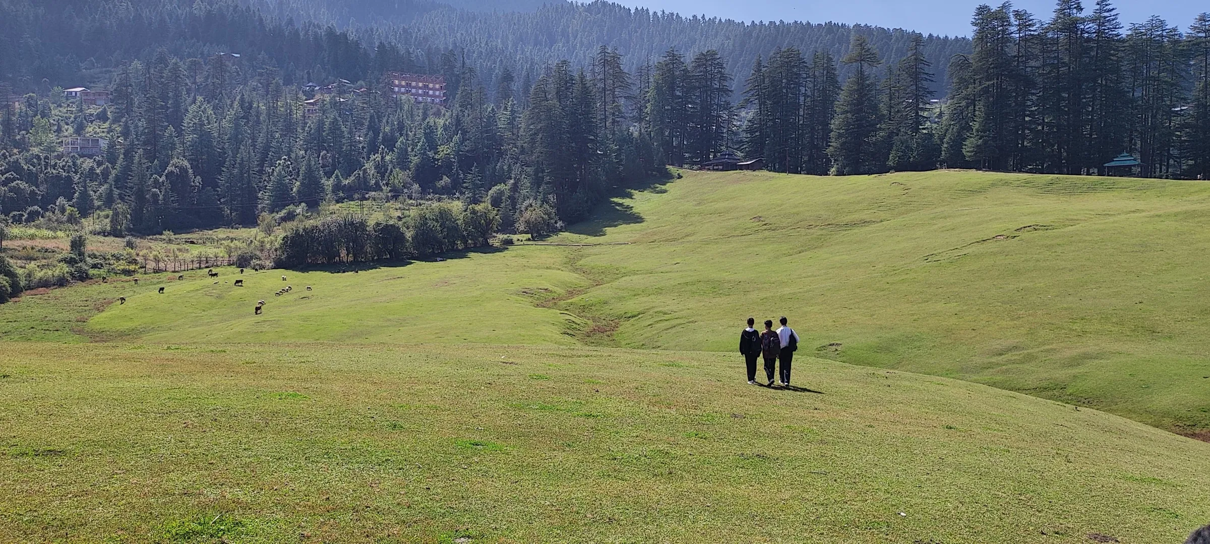
- Wide views of the Dhauladhar, Pir Panjal and Kinnaur ranges from the ridge above the lake
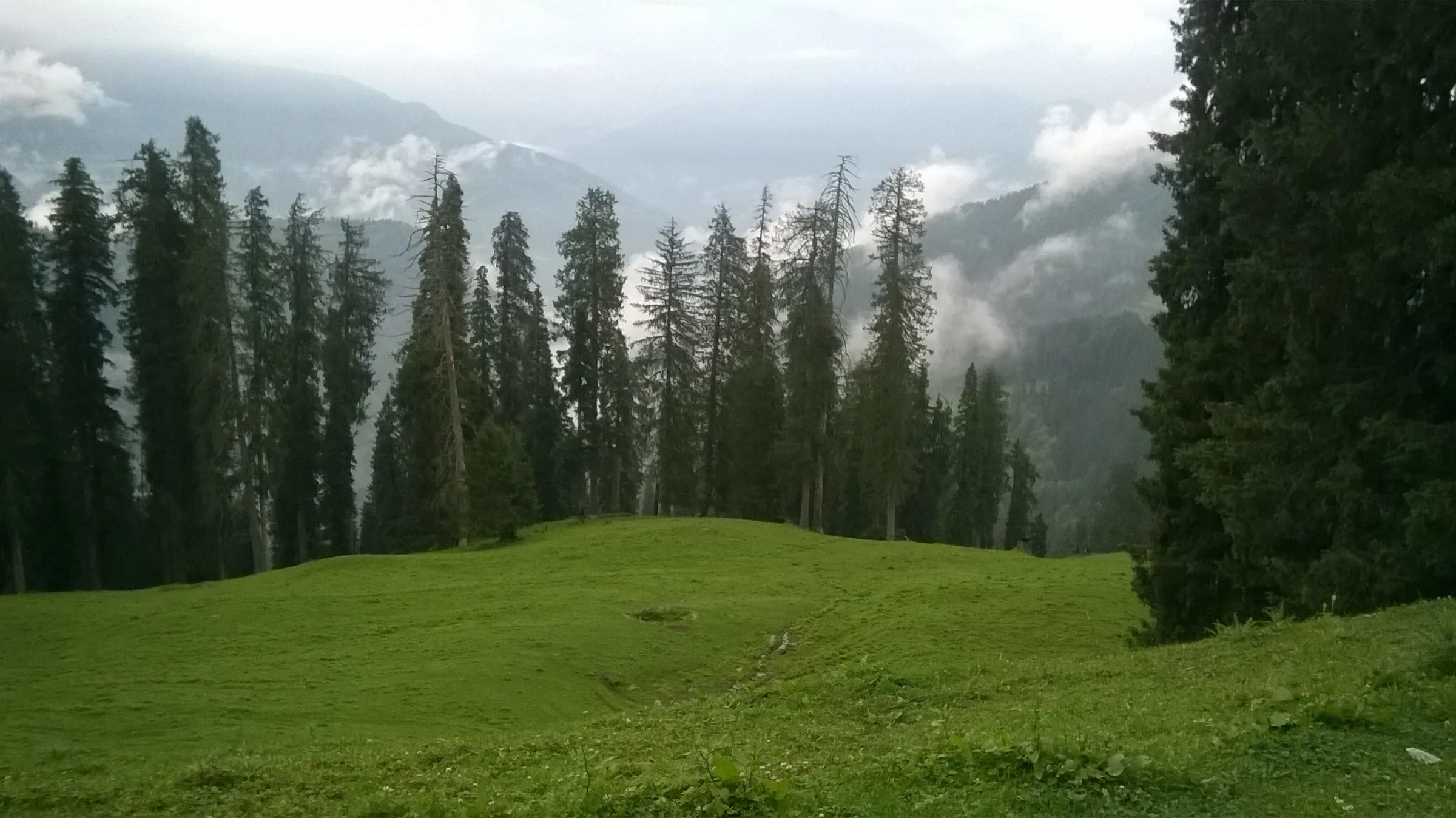
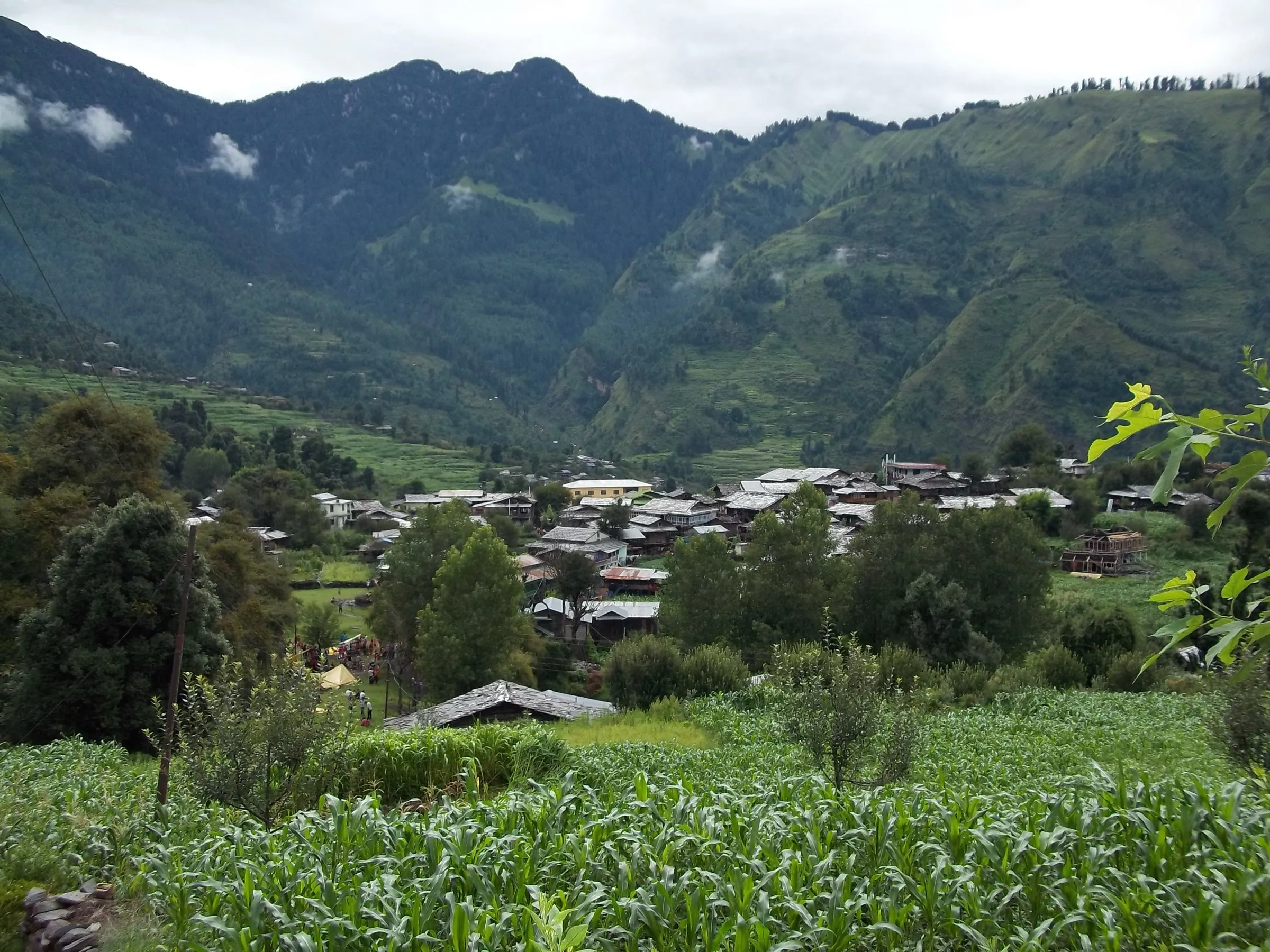
- Rhododendron, oak and pine forest and apple orchards on the climb from Baggi
- Snow around the lake from December to March, making it a popular short winter trek
Risks
- Winter snowstorms: the Mandi administration names Prashar Lake among high areas that get sudden heavy snowfall, and tourists have been stranded there in past winters. Check the forecast and local advisories from December to March.
- July-August monsoon rain makes the trail muddy and slippery, with a risk of landslides on the roads; operators advise caution and say heavy-rain days are not for beginners.
- A motorable road now reaches the lake and the trail crosses it several times; watch for vehicles on the road sections.
- Night temperatures fall to around 0 °C and below in winter; carry warm layers, gloves and a cap.
Know before you go
Questions
How long is the Prashar Lake trek and how hard is it?
Operators quote about 7-9 km each way from Baggi, roughly 15-18 km in total over two days: 4-5 hours up and 3-4 hours down. It is rated easy to easy-moderate and suits beginners and families; Indiahikes sets a minimum age of 8.
Can you drive to Prashar Lake instead of trekking?
Yes, a motorable road now reaches the lake. The trek is the older walking route from Baggi through forest, meadows and orchards, crossing the road at a few points, and it is what trek operators sell as a weekend trek.
When is the best time for the Prashar Lake trek?
It can be done all year. April to June and September to November give dry trails and clear views; December to March brings snow, with very cold nights and slippery sections. July and August are monsoon months when the trail gets muddy.
Where do you stay at Prashar Lake?
Groups stay in tents at the lakeside campsite or in the dormitories and forest rest house near the lake. The lake itself is fenced off, so you cannot walk into it.
Do I need a permit for the Prashar Lake trek?
We found no official permit or fee for this trek. Guided groups include any forest charges in the package; self-guided trekkers should check locally in Mandi, especially for camping near the lake.
In an emergency
Save these numbers before you lose signal. Tap to call.
- 112All emergenciesIndia’s single emergency number — works in every state
- 108Ambulance
- 1077District disaster control room
You are in
District: MandiHimachal Pradesh
- Nearest hospital
- Mandi (district hospital) for first care and serious cases
- Last ATM
- Mandi
- Phone network
- Only intermittent BSNL signal beyond Mandi, per Indiahikes; no charging points on the trail.
Before you set off
- Tell someone your route and when you will be back.
- Carry a charged phone and a power bank.
- Download an offline map of the route.
- Turn back if the weather turns bad — the mountain will wait.
Questions about Prashar Lake
No questions yet. Ask something and trekkers who have done it can answer.
Share your trek photo with #TreksAndTrails
I trekked this
Did Prashar Lake look different from this page? Tell us what changed and we will check it.
Where this comes from
Sources
Last reviewed:
- Prashar Lake Trek — Indiahikes
- Prashar Lake Trek – Beginner-Friendly Himalayan Trek in Himachal Pradesh — Himalayan Hikers
- Prashar Lake Trek: Breathtaking 2-Day Snow Adventure — Himtrek
- Prashar Lake - A weekend trip from Delhi — Bikat Adventures
- Parashar Lake Trek | Treks and Trails India — Treks and Trails India (treksandtrails.org)
- Prashar Lake Trek — Trekkers of India
- Parashar Lake — Wikipedia
- Tourists, locals urged to avoid going to high-altitude areas — The Tribune
Photos: Phototraveller1, CC BY-SA 4.0; Numerounovedant, CC BY-SA 4.0; Timothy A. Gonsalves, CC BY-SA 4.0