Bijli Mahadev Trek
Kullu, Himachal Pradesh
Opens without signal on this phone, with the map file and checklist. Saved for offline →
- Max altitude
- 2,460 m
- Days
- 2 days
- Distance
- 21 km
- Difficulty
- Moderate
The 3 km climb from Chansari to the temple is steep (about 750 m of ascent, 2-3 hours), and day 2 is a long 13 km descent of 7-8 hours on a forest trail that operators describe as poorly maintained in places.
Photos
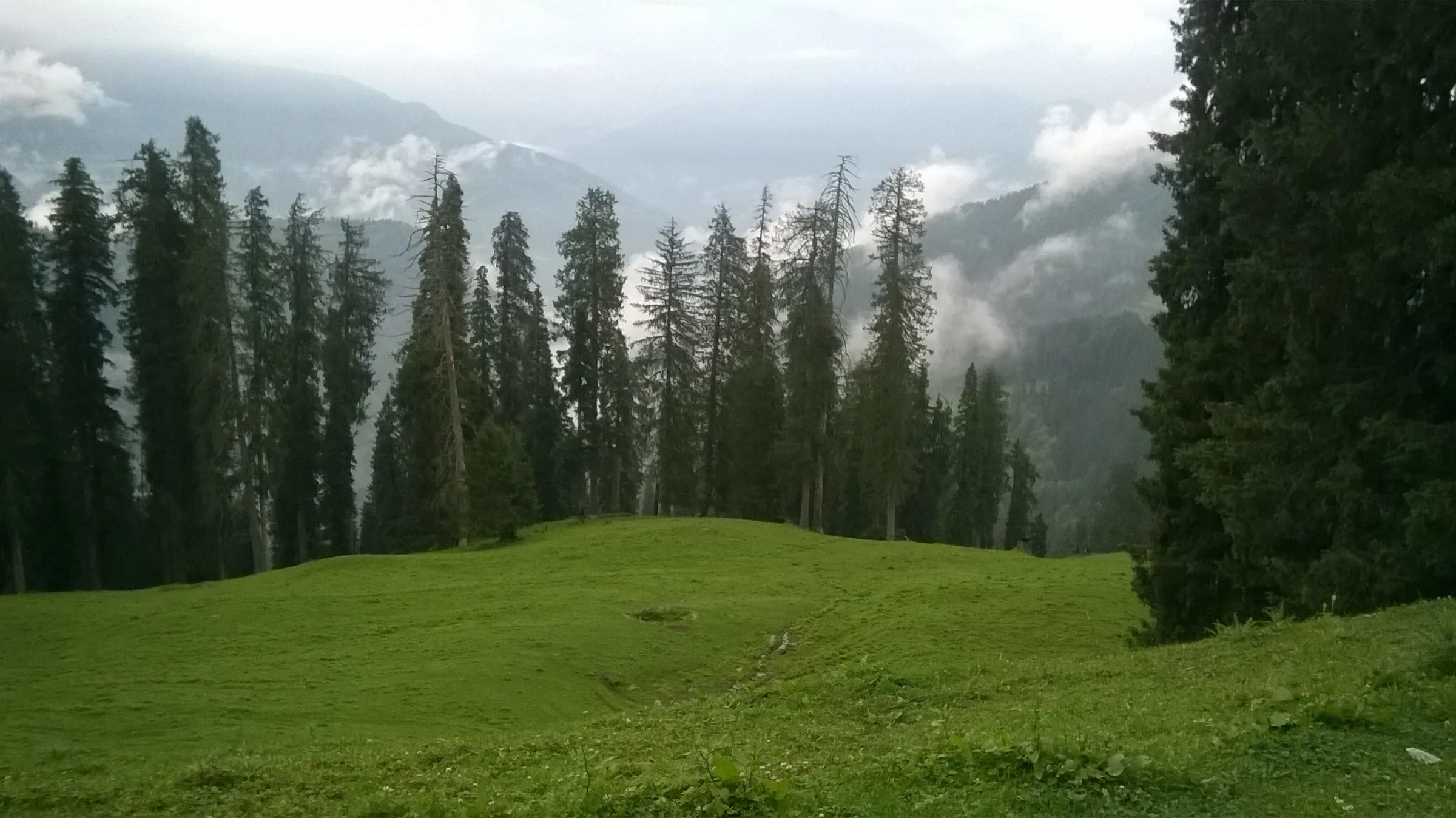
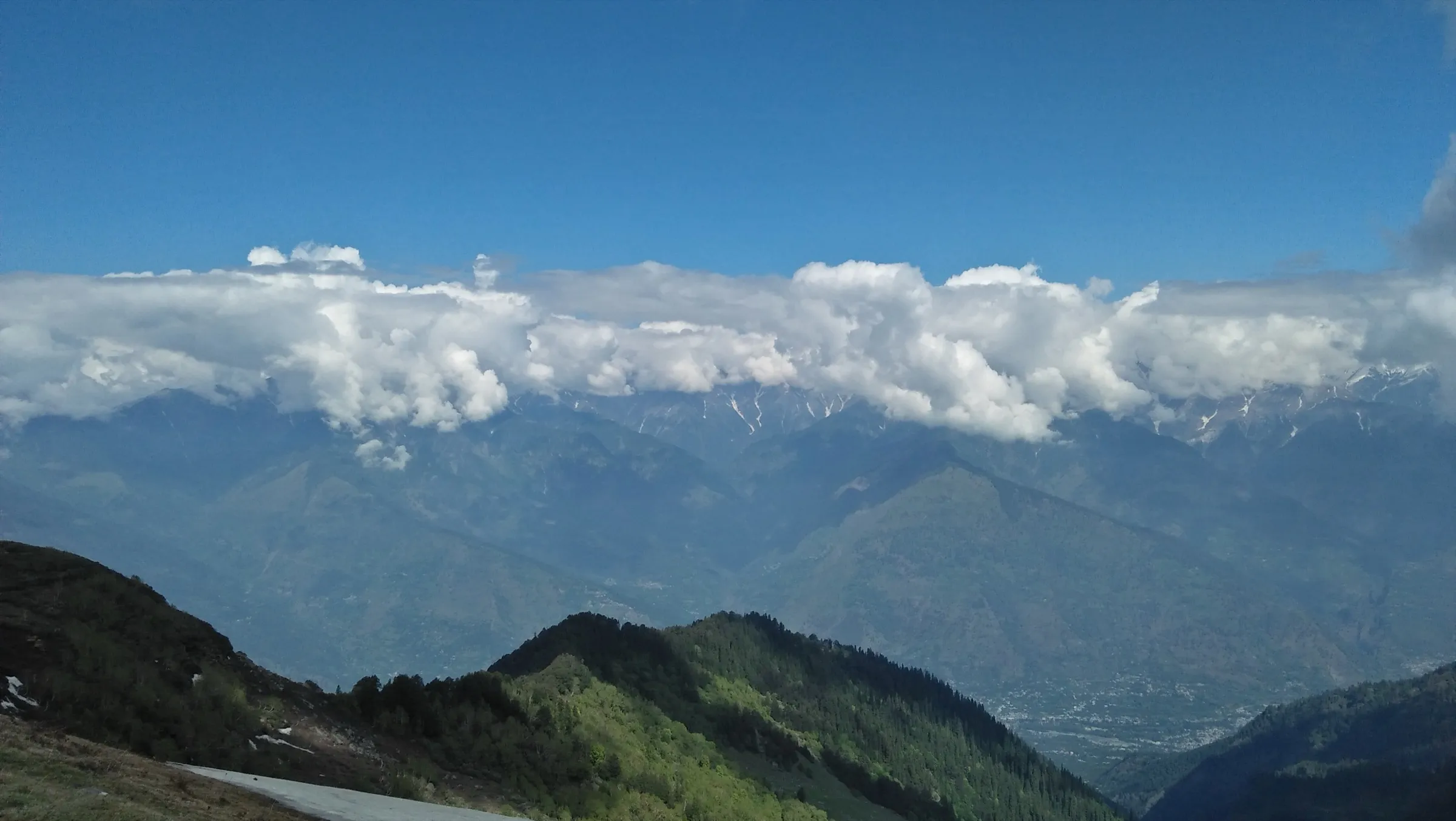
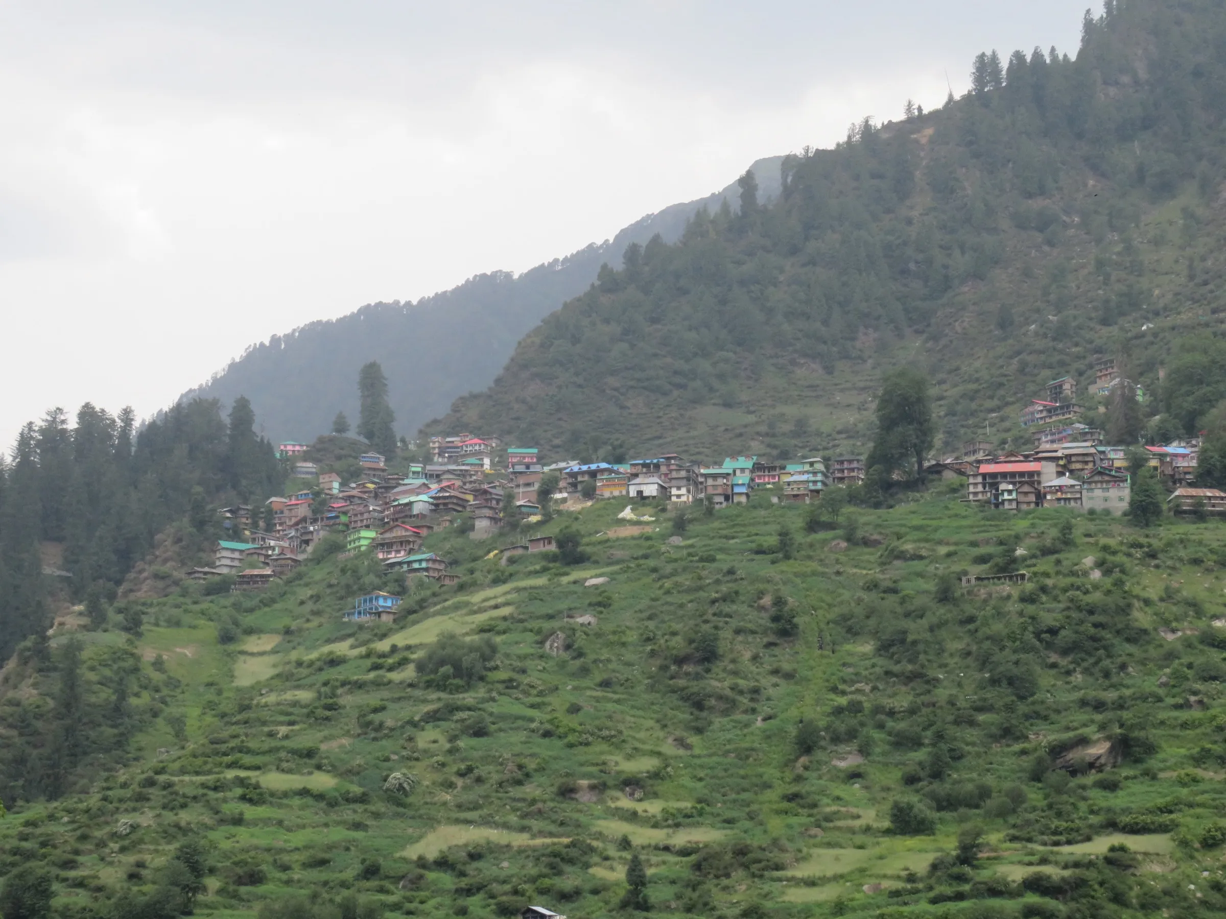
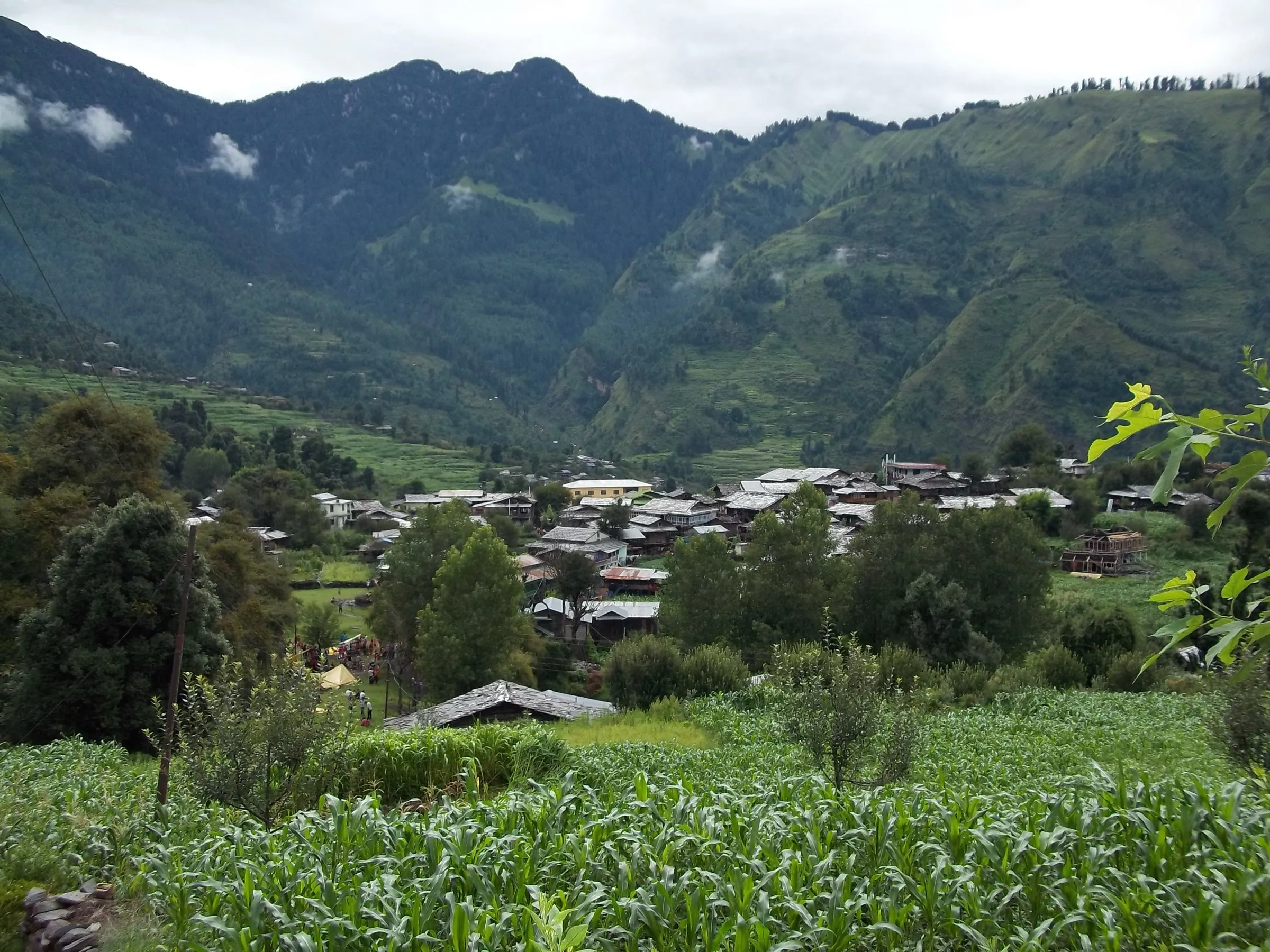
On the trail
The route
Day by day
Day 1 · highest point
Chansari (drive from Kullu) → Matikochar (via Bijli Mahadev Temple)
1,900 m → 2,460 m → 2,340 m
Day 2
Matikochar → Naggar (via Jana waterfall, Jana and Nashala)
2,340 m → 1,800 m
Ups and downs
Altitude profile
Where it is
Map
Trailhead and high point only — not a recorded track. Use it with a proper map.
Weather
Next 5 days on the trail
Live forecast for the trailhead and the high point. Mountain weather changes fast — check again on the morning you start.
Trailhead · Chansari
at 1,900 mLoading forecast…
High point · Bijli Mahadev Temple, Mathan hill
at 2,460 mLoading forecast…
Each day: high / low °C · rain mm and chance · snow cm · wind km/h
Weather data: Open-Meteo.comModel forecast, not an official warning. For alerts follow IMD and the local administration.
Plan the trip
How to reach
- Trailhead
- Chansari (nearest town: Kullu)
- Nearest railway
- Joginder Nagar (narrow gauge); Chandigarh for broad gauge
- Nearest airport
- Kullu-Manali Airport, Bhuntar
- By road
- Kullu (about 12-24 km by local bus, shared jeep or taxi to Chansari via Ramshila); Delhi (overnight bus to Kullu, about 12 hours)
- Drive
- About 8 h from Chandigarh
Plan the trip
Permits and fees
We could not confirm the current permit rules and fees from an official source. Check with the local forest department or tourism office before you go.
Plan the trip
Cost
Self-guided
₹1,500–4,000
With an operator
₹2,100–7,000
Per person, ex-Kullu. Published guided prices: Himtrek ₹1,999 + 5% GST for the short walk from Kinja to the temple; The Wild Cone ₹7,000 for the 2-day Naggar side traverse (page dated 2021, confirm the current rate). Indiahikes priced its own Kot-Karate route at about US$59 + GST but no longer runs it. Self-guided is an estimate: bus or shared jeep Kullu-Chansari, a Naggar taxi back, food, and camping or a forest rest house night at Matikochar with your own or hired gear and a local guide for the forest section.
Gear
Top picks for this trek
The gear that matters most on this route, chosen from its altitude, season and risks.
 Ad · affiliate link
 Ad · affiliate link
 Ad · affiliate link
 Ad · affiliate link
 Ad · affiliate link
 Ad · affiliate link
- Ad · affiliate link
 Ad · affiliate link
Store buttons open a search on that store, not a product we picked. As an Amazon Associate we earn from qualifying purchases. Photos show the kind of item, not a specific product. Affiliate disclosure
Packing checklist
Matched to this trek: altitude, season, days and the risks on the route.
Packed 0 of 27
Monsoon months (Jun, Sep): pack everything in plastic or a dry bag and wear shoes with good grip.
Tick each item as it goes in the bag.
Know before you go
Good to know
- Mobile network
- Indiahikes reports mobile signal from all major providers on its trail near the temple; expect patchy coverage in the Kais forest between Matikochar and Jana.
- Last ATM
- Kullu at the start; Naggar has ATMs at the finish
- Nearest hospital
- Regional Hospital Kullu; Mission Hospital Manali on the Naggar side
- Water
- No reliable water on the climb from Chansari, so carry 2 litres. Jana waterfall on day 2 is the main stream; boil or treat all water.
Highlights
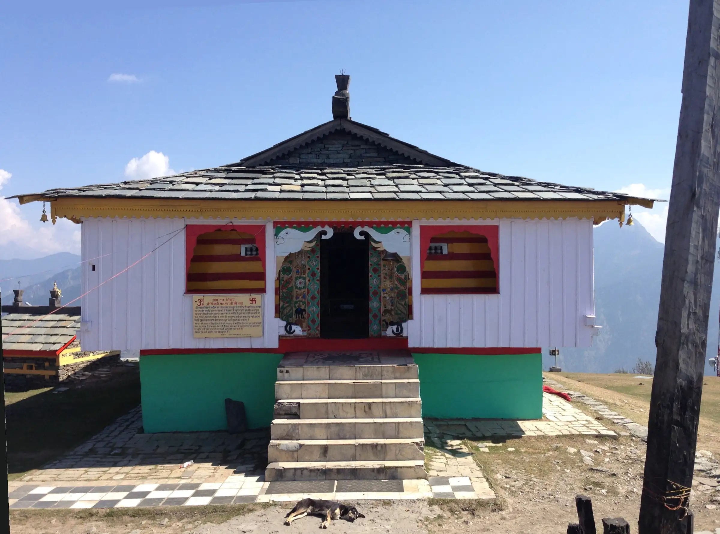
- Darshan of Bhagwan Shiva at Bijli Mahadev, the Kath-Kuni temple on Mathan hill with its 60-foot deodar staff
- A 360° view over the Kullu, Parvati, Bhuntar and Garsa valleys, the Beas-Parvati confluence and the Pir Panjal and Dhauladhar ranges
- A near-level ridge walk through the deodar and pine forest of Kais Wildlife Sanctuary to camp at Matikochar
- Descent past Jana waterfall and the apple, pear and pomegranate orchards of Jana village to Naggar Castle
Risks
- The temple sanctum was closed to devotees from July 2025 for six months by the temple Kardar (prayers only from outside, no overnight stay in the temple rest house, no langar). Check the current position with the temple committee in Kullu before you go.
- Snow covers the hilltop in December to February; Himalaya Shelter says the temple can then be inaccessible and temperatures drop below 0 °C.
- Monsoon (July-August) makes the trail slippery and the hill is exposed to lightning in thunderstorms; leave the open hilltop when a storm builds.
- The forest trail from Bijli Mahadev to Naggar is described by operators as in poor shape in places and is long; start early and do not attempt it alone without knowing the route.
- A 2.4 km ropeway from Pirdi to the shrine is proposed, but work was halted and the case was before the National Green Tribunal as of December 2025; expect construction zones near Pirdi if work resumes.
Know before you go
Questions
How long is the walk to Bijli Mahadev temple?
From the road head at Chansari it is about 3 km and 2-3 hours uphill on a trail maintained by the Forest Department. The longer trek continues 5 km along the ridge to Matikochar and then 13 km down via Jana to Naggar, a 2-day traverse of about 21 km.
What is the best time for the Bijli Mahadev trek?
March to June and September to November. Trek The Himalayas and Himalaya Shelter both give these months; December to February bring snow to the hilltop, and the Shravan mela in July or August draws large crowds of devotees.
How high is Bijli Mahadev temple?
About 2,460 m (8,070 ft) on Mathan hill above the Beas-Parvati confluence near Kullu.
Why is it called Bijli Mahadev?
The temple katha says lightning (bijli) strikes the Shivling every twelve years or so and breaks it; the pujari then rejoins it with butter (makkhan) and sattu. The shrine takes the strike upon itself to protect the valley, and the katha also tells how Bhagwan Shiva destroyed the asura Kulant here to save the Kullu valley.
Do I need a permit for the Bijli Mahadev trek?
We found no official permit fee for this route. The Naggar section passes through Kais Wildlife Sanctuary, and Himachal forest officers have said tents in forest areas need Forest Department permission, so check with the forest office in Kullu or Naggar before camping.
Is there a ropeway to Bijli Mahadev?
Not yet. A ₹284-crore, 2.4 km ropeway from Pirdi was announced in 2024, but work was halted and the case was before the National Green Tribunal as of December 2025. You still have to walk.
In an emergency
Save these numbers before you lose signal. Tap to call.
- 112All emergenciesIndia’s single emergency number — works in every state
- 108Ambulance
- 1077District disaster control room
You are in
District: KulluHimachal Pradesh
- Nearest hospital
- Regional Hospital Kullu; Mission Hospital Manali on the Naggar side
- Last ATM
- Kullu at the start; Naggar has ATMs at the finish
- Phone network
- Indiahikes reports mobile signal from all major providers on its trail near the temple; expect patchy coverage in the Kais forest between Matikochar and Jana.
Before you set off
- Tell someone your route and when you will be back.
- Carry a charged phone and a power bank.
- Download an offline map of the route.
- Turn back if the weather turns bad — the mountain will wait.
Questions about Bijli Mahadev
No questions yet. Ask something and trekkers who have done it can answer.
Share your trek photo with #TreksAndTrails
I trekked this
Did Bijli Mahadev look different from this page? Tell us what changed and we will check it.
Where this comes from
Sources
Last reviewed:
- Bijli Mahadev To Naggar Trek — Indiahikes
- Bijli Mahadev Trek 2026 | A Short, Scenic Trek near Manali — Indiahikes
- Bijli Mahadev to Naggar Trek — Trek The Himalayas
- Bijli Mahadev Trek Temple — Himalaya Shelter
- Bijli Mahadev Trek — The Wild Cone
- Bijli Mahadev Trek – Breathtaking 2-Day Snow Adventure — Himtrek
- Bijli Mahadev — Wikipedia
- Bijli Mahadev closes its doors to devotees (17 Jul 2025) — The Tribune
- Bijli Mahadev ropeway faces fresh scrutiny as work stays suspended (4 Dec 2025) — The Tribune
Photos: Akshat Sharma, CC BY-SA 4.0; Ray Saudip, CC BY-SA 4.0; Ashish Sharma, CC BY-SA 4.0; Kavya Rastogi, CC BY-SA 4.0