Dhanna Kunnu Pass Trek
Kullu, Himachal Pradesh
Opens without signal on this phone, with the map file and checklist. Saved for offline →
- Max altitude
- 3,670 m
- Days
- 5 days
- Distance
- 47 km
- Difficulty
- Moderate
Operators call it easy to moderate, but the trail is faint in several places (above Matikochar, on the pass day and on the descent to Rumsu), it gains about 1,440 m over three walking days, and the last day drops about 1,360 m steeply to Rumsu, so route-finding and knee strength matter.
Photos
On the trail
The route
Day by day
Day 1
Manali → Jana (bus via Naggar)
2,050 m → 2,228 m
Day 2
Jana → Matikochar (Kais forest rest house)
2,228 m → 2,573 m
Day 3
Matikochar → Phutasor lakes
2,573 m → 3,272 m
Day 4 · highest point
Phutasor lakes → Chaklani (via Dhanna Kunnu Pass)
3,272 m → 3,670 m → 3,426 m
Day 5
Chaklani → Rumsu (then road to Naggar and Manali)
3,426 m → 2,067 m
Ups and downs
Altitude profile
Where it is
Map
Trailhead and high point only — not a recorded track. Use it with a proper map.
Weather
Next 5 days on the trail
Live forecast for the trailhead and the high point. Mountain weather changes fast — check again on the morning you start.
Trailhead · Jana
at 2,228 mLoading forecast…
High point · Dhanna Kunnu Pass (approximate position on the ridge south-west of Chaklani)
at 3,670 mLoading forecast…
Each day: high / low °C · rain mm and chance · snow cm · wind km/h
Weather data: Open-Meteo.comModel forecast, not an official warning. For alerts follow IMD and the local administration.
Plan the trip
How to reach
- Trailhead
- Jana (nearest town: Naggar)
- Nearest railway
- Joginder Nagar (narrow gauge); Chandigarh is the nearest broad-gauge station
- Nearest airport
- Kullu-Manali Airport, Bhuntar (about 50-60 km from Naggar)
- By road
- Manali to Naggar (about 20 km, local buses every 15-20 minutes), then Naggar to Jana (about 13 km, local bus around 2 pm); Rumsu (end point) to Naggar about 5 km, Manali about 27 km
- Drive
- About 8 h from Chandigarh
Plan the trip
Permits and fees
We could not confirm the current permit rules and fees from an official source. Check with the local forest department or tourism office before you go.
Plan the trip
Cost
Self-guided
₹5,000–9,000
With an operator
₹11,000–16,000
Per person, ex-Manali. Estimates only: no operator publishes a fixed price for this route (White Magic Adventure quotes 'on request' for its 7-day Chandigarh-to-Chandigarh version, which includes entry, camping and trekking permit fees; Indiahikes documents the route but does not run it). The guided range is set from what operators charge for the neighbouring Chandrakhani Pass trek from the same villages. Self-guided covers local buses Manali-Naggar-Jana and Rumsu-Manali, a homestay night, a local guide or porter (the trail is faint in places), tent and stove hire, food, and forest/sanctuary charges paid locally.
Gear
Top picks for this trek
The gear that matters most on this route, chosen from its altitude, season and risks.
 Ad · affiliate link
 Ad · affiliate link
 Ad · affiliate link
 Ad · affiliate link
 Ad · affiliate link
 Ad · affiliate link
 Ad · affiliate link
 Ad · affiliate link
Store buttons open a search on that store, not a product we picked. As an Amazon Associate we earn from qualifying purchases. Photos show the kind of item, not a specific product. Affiliate disclosure
Packing checklist
Matched to this trek: altitude, season, days and the risks on the route.
Packed 0 of 32
Nights near 3,670 m can drop close to freezing even in summer. Pack one more warm layer than you think.
Tick each item as it goes in the bag.
Know before you go
Good to know
- Mobile network
- Sporadic. Indiahikes says Manali is the last point with full signal; the next usable signal is at Chaklani and then Rumsu.
- Last ATM
- Manali (withdraw cash there)
- Nearest hospital
- Manali; Rumsu village has health centres
- Water
- Small streams on the way to Matikochar and in the forest above it; a small stream feeds the Phutasor lakes; only a couple of small streams on the pass day and on the descent, plus a stream at Chaklani. Carry enough water and treat it.
Highlights
- Dense oak, pine and deodar forest of the Kais Wildlife Sanctuary, with birds such as the Himalayan monal, yellow-billed blue magpie and rufous woodpecker
- Small lakes and a sunset camp at Phutasor looking across the Kullu valley to the Pir Panjal and Bara Bhangal ranges
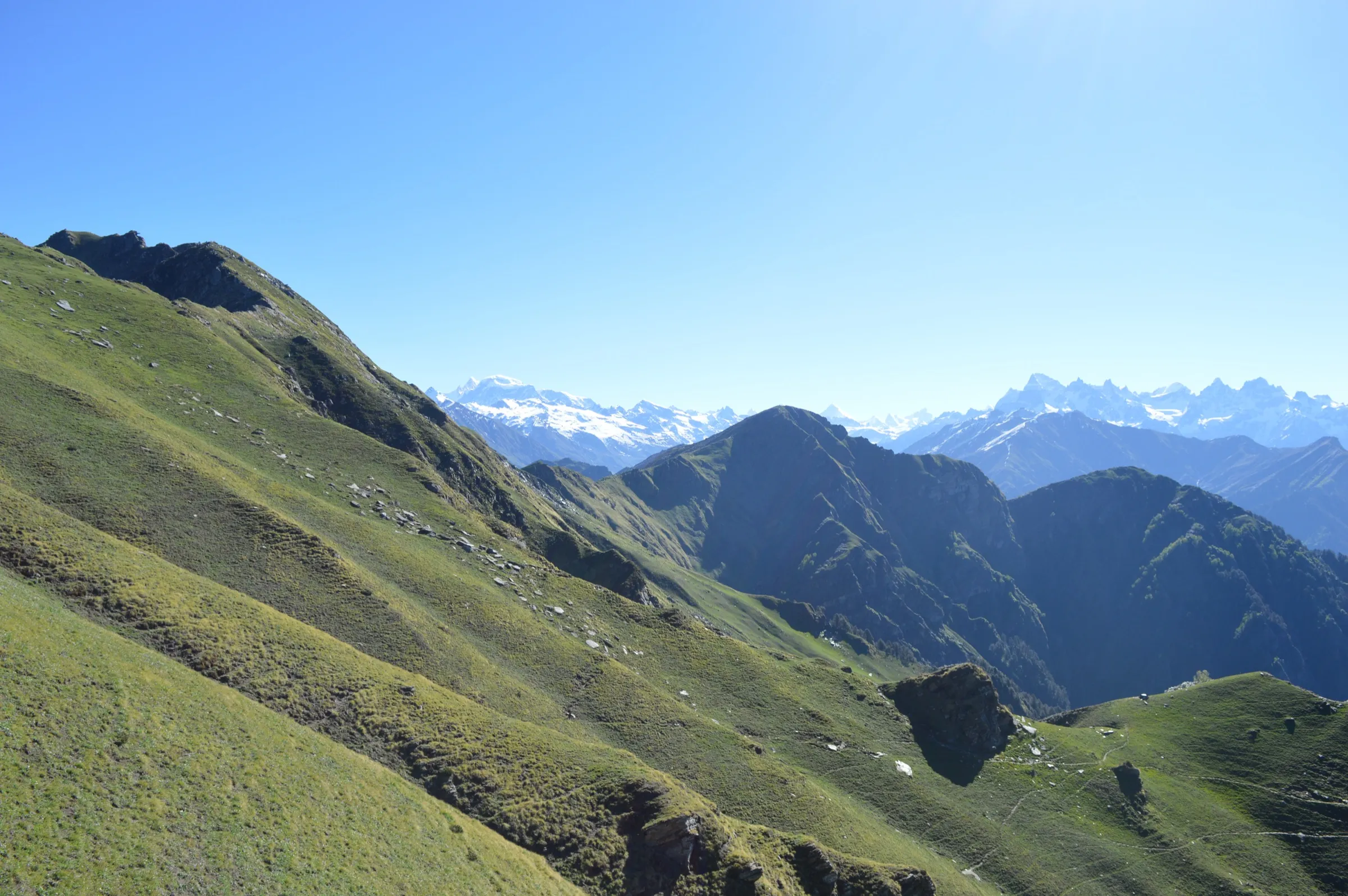
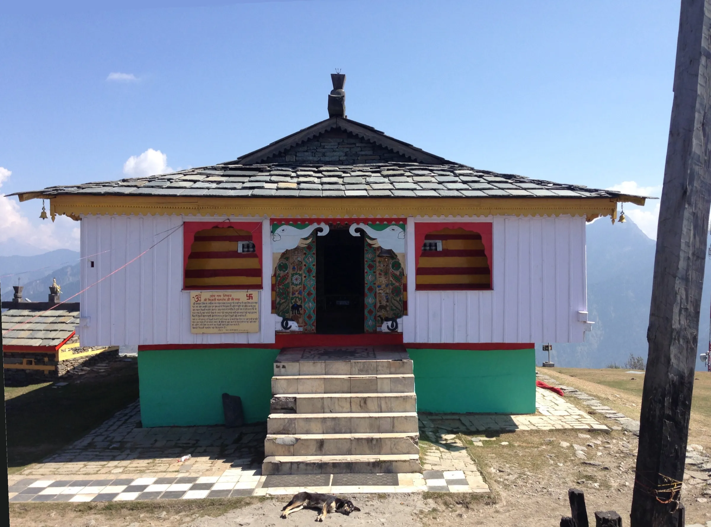
- Views of Hanuman Tibba, Indrasan, Deo Tibba and Friendship Peak from the pass at about 3,670 m, with a small mandir on the top
- A quiet alternative to the busier Chandrakhani Pass, ending at Chaklani and Rumsu on the same side of the ridge
- Jana waterfall and the historic town of Naggar (former capital of Kullu, Roerich Museum, Naggar Castle) at the start
Risks
- The trail is faint or disappears in places above Matikochar, between Phutasor and the pass, just below the pass (keeping straight leads towards Malana) and below Naytra Top on the way to Rumsu; go with someone who knows the route or carry an offline GPS track.
- The pass day crosses about 3,670 m after camping at about 3,270 m; watch for headache, nausea and breathlessness and descend if they get worse.
- Early-season snow can lie on the upper trail (White Magic Adventure warns of snow near the ridge in early summer); April and November departures can meet snow and freezing nights.
- Water is scarce on the pass day and the descent; carry enough from Phutasor and Chaklani.
- The final descent from Naytra Top to Rumsu is steep and slippery when wet; trekking poles help.
- Rumsu and Malana keep strict local customs: do not touch temples, shrines or houses without permission. Winter months are not confirmed by any source and are not recommended.
Know before you go
Questions
How difficult is the Dhanna Kunnu Pass trek?
Indiahikes and Trek The Himalayas rate it easy to moderate, and White Magic Adventure sells it as a beginner trek. You gain about 1,440 m (about 4,700 ft) over three walking days and the trail is faint in places, so basic fitness and a guide who knows the route are advised.
Where does the trek start and end?
It starts at Jana village, about 13 km above Naggar and roughly 33 km from Manali, and ends at Rumsu, about 5 km from Naggar. Local buses run from Manali to Naggar every 15-20 minutes, and a bus from Naggar to Jana leaves around 2 pm.
What is the best time for the Dhanna Kunnu Pass trek?
Trek The Himalayas recommends April to June and October to November. Early summer can still have snow patches near the ridge, and Indiahikes notes that the dhaba at Chaklani is usually staffed from April to September.
How is Dhanna Kunnu different from Chandrakhani Pass?
Both are on the same ridge above Naggar and both descend to Chaklani and Rumsu. Dhanna Kunnu is reached from Jana through the Kais Wildlife Sanctuary and the Phutasor lakes, a longer and quieter route; Indiahikes suggests it as an alternative to the busier Chandrakhani trek. White Magic Adventure adds a day hike from Chaklani up towards Chandrakhani.
Is there mobile network on the trek?
Only sporadic. Indiahikes says Manali has the last full network, then signal returns at Chaklani and Rumsu. Withdraw cash in Manali.
In an emergency
Save these numbers before you lose signal. Tap to call.
- 112All emergenciesIndia’s single emergency number — works in every state
- 108Ambulance
- 1077District disaster control room
You are in
District: KulluHimachal Pradesh
- Nearest hospital
- Manali; Rumsu village has health centres
- Last ATM
- Manali (withdraw cash there)
- Phone network
- Sporadic. Indiahikes says Manali is the last point with full signal; the next usable signal is at Chaklani and then Rumsu.
Before you set off
- Tell someone your route and when you will be back.
- Carry a charged phone and a power bank.
- Download an offline map of the route.
- Turn back if the weather turns bad — the mountain will wait.
Questions about Dhanna Kunnu Pass
No questions yet. Ask something and trekkers who have done it can answer.
Share your trek photo with #TreksAndTrails
I trekked this
Did Dhanna Kunnu Pass look different from this page? Tell us what changed and we will check it.
Where this comes from
Sources
Last reviewed:
- Dhanna Kunnu Pass Trek (documented trek) — Indiahikes
- Dhanna Kunnu Pass Trek - Trek The Himalayas (18 April 2026) — Trek The Himalayas
- In the Shadow of Chanderkheni (Dhana Kunnu Pass Trek) — White Magic Adventure Travel
Photos: Harsh1608, CC BY-SA 4.0; Krishna 09, CC BY-SA 4.0; Koshy Koshy from Faridabad, Haryana, India, CC BY 2.0