Dev Roopa Trek
Kullu, Himachal Pradesh
Opens without signal on this phone, with the map file and checklist. Saved for offline →
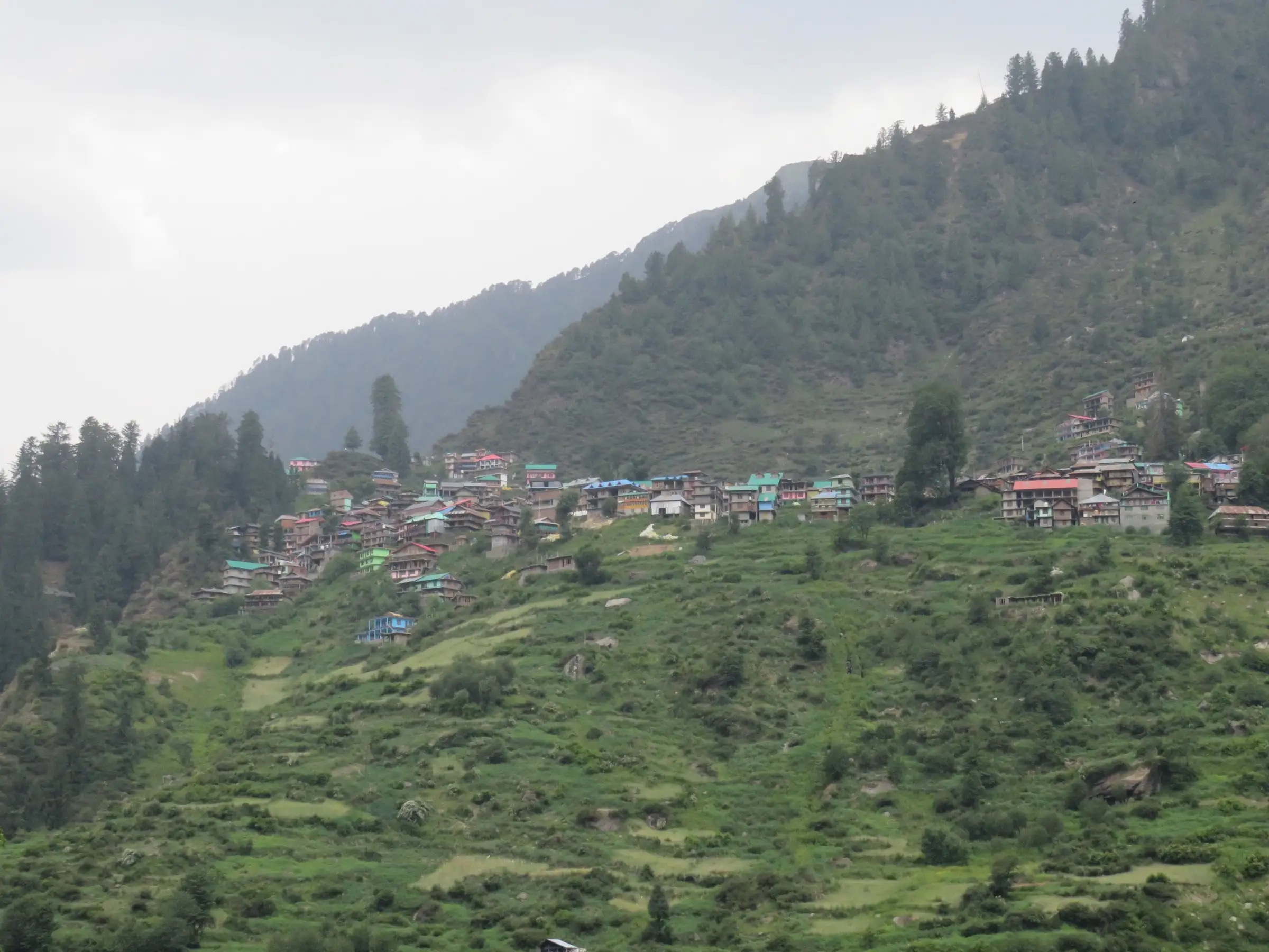
- Max altitude
- 4,200 m
- Days
- 5 days
- Distance
- 26 km
- Difficulty
- Moderate
Operators grade it moderate, but it climbs from about 3,000 m to about 4,200 m in three trekking days, and the day to Dev Roopa has three steep climbs of about an hour each. Bikat Adventures asks for 6-8 earlier Himalayan trek days, including time above 3,000 m.
Photos
On the trail
The route
Day by day
Day 1
Kasol → Magic Valley (drive to Malana Dam, then trek)
1,580 m → 3,000 m
Day 2
Magic Valley → Mota Grahan (via Behali)
3,000 m → 3,150 m
Day 3
Mota Grahan → Bogdi
3,150 m → 3,520 m
Day 4 · highest point
Bogdi → Bogdi (via Dev Roopa)
3,520 m → 4,200 m → 3,520 m
Day 5
Bogdi → Kasol (trek via Behali to the road, then drive)
3,520 m → 1,580 m
Ups and downs
Altitude profile
Where it is
Map
Trailhead and high point only — not a recorded track. Use it with a proper map.
Weather
Next 5 days on the trail
Live forecast for the trailhead and the high point. Mountain weather changes fast — check again on the morning you start.
Trailhead · Malana Dam
at 1,580 mLoading forecast…
High point · Dev Roopa meadow, head of the Malana valley
at 4,200 mLoading forecast…
Each day: high / low °C · rain mm and chance · snow cm · wind km/h
Weather data: Open-Meteo.comModel forecast, not an official warning. For alerts follow IMD and the local administration.
Plan the trip
How to reach
- Trailhead
- Malana Dam (nearest town: Kasol)
- Nearest railway
- Joginder Nagar (narrow gauge, about 145 km from Kasol); Chandigarh is the nearest major railhead
- Nearest airport
- Bhuntar (Kullu-Manali) Airport, about 30 km from Kasol
- By road
- Overnight Volvo and HRTC buses from Delhi (ISBT Kashmere Gate) to Bhuntar; Bhuntar to Kasol by local bus or taxi (about 30 km, 1-1.5 hours); Kasol to the Malana Dam roadhead by jeep, past Jari and the Malana power-house road
- Drive
- About 12 h from Delhi
Plan the trip
Permits and fees
We could not confirm the current permit rules and fees from an official source. Check with the local forest department or tourism office before you go.
Plan the trip
Cost
Self-guided
₹6,000–11,000
With an operator
₹8,000–15,950
Per person, ex-Kasol. Guided prices seen October 2026: Thrillophilia lists a 7-day Dev Roopa package at ₹8,000 (list price ₹10,000) including the forest permit; Himalayan Hikers ₹15,000 + 5% GST + ₹200 insurance, Kasol to Kasol. Bikat Adventures and White Magic did not show a price. Self-guided is our estimate: Kasol-Malana Dam jeep both ways, a local guide and porter for four nights, tent, stove and food, and forest camping charges paid locally.
Gear
Top picks for this trek
The gear that matters most on this route, chosen from its altitude, season and risks.
 Ad · affiliate link
 Ad · affiliate link
 Ad · affiliate link
 Ad · affiliate link
 Ad · affiliate link
 Ad · affiliate link
 Ad · affiliate link
 Ad · affiliate link
Store buttons open a search on that store, not a product we picked. As an Amazon Associate we earn from qualifying purchases. Photos show the kind of item, not a specific product. Affiliate disclosure
Packing checklist
Matched to this trek: altitude, season, days and the risks on the route.
Packed 0 of 33
Nights near 4,200 m can drop close to freezing even in summer. Pack one more warm layer than you think.
Tick each item as it goes in the bag.
Know before you go
Good to know
- Mobile network
- Himalayan Hikers says there is no mobile network in the higher parts of the route; expect signal only near the roadhead and Malana (not confirmed by a second source).
- Last ATM
- Kullu or Bhuntar; the few ATMs in Kasol often run out of cash (Himalayan Hikers). Carry cash.
- Nearest hospital
- Health centres in the Parvati valley (Jari, Kasol, Manikaran) for first care; Regional Hospital Kullu for serious cases (not confirmed by a trek source)
- Water
- The trail follows the Malana river, and streams run through the Dev Roopa meadow and beside the climb from Bogdi; boil or treat all water.
Highlights
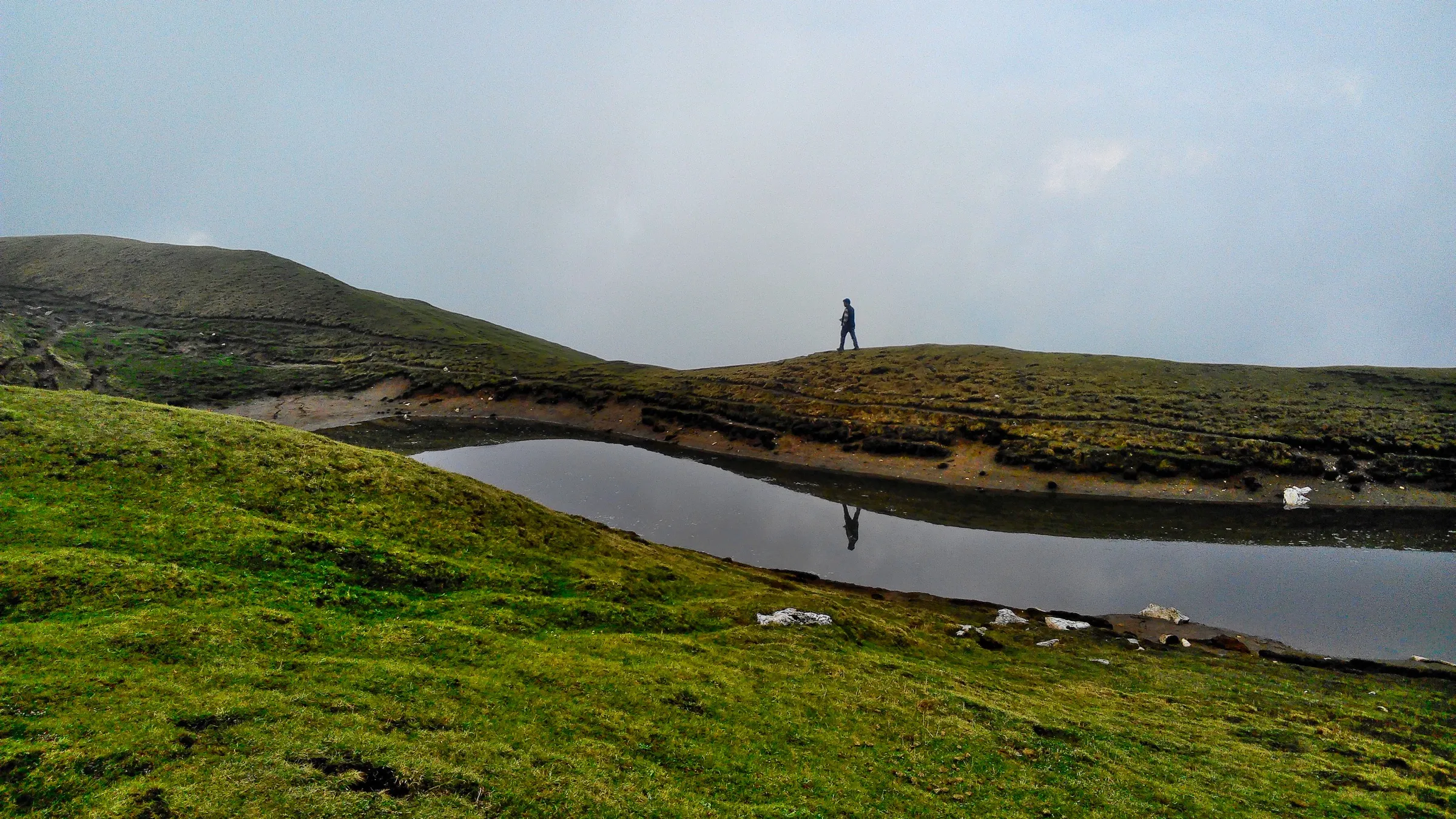
- Dev Roopa, a level high meadow at about 4,200 m, as wide as several football fields, with streams looping across it
- A meadow held sacred by the people of Malana; a trip report records the local katha that Rishi Jamdagni meditated here
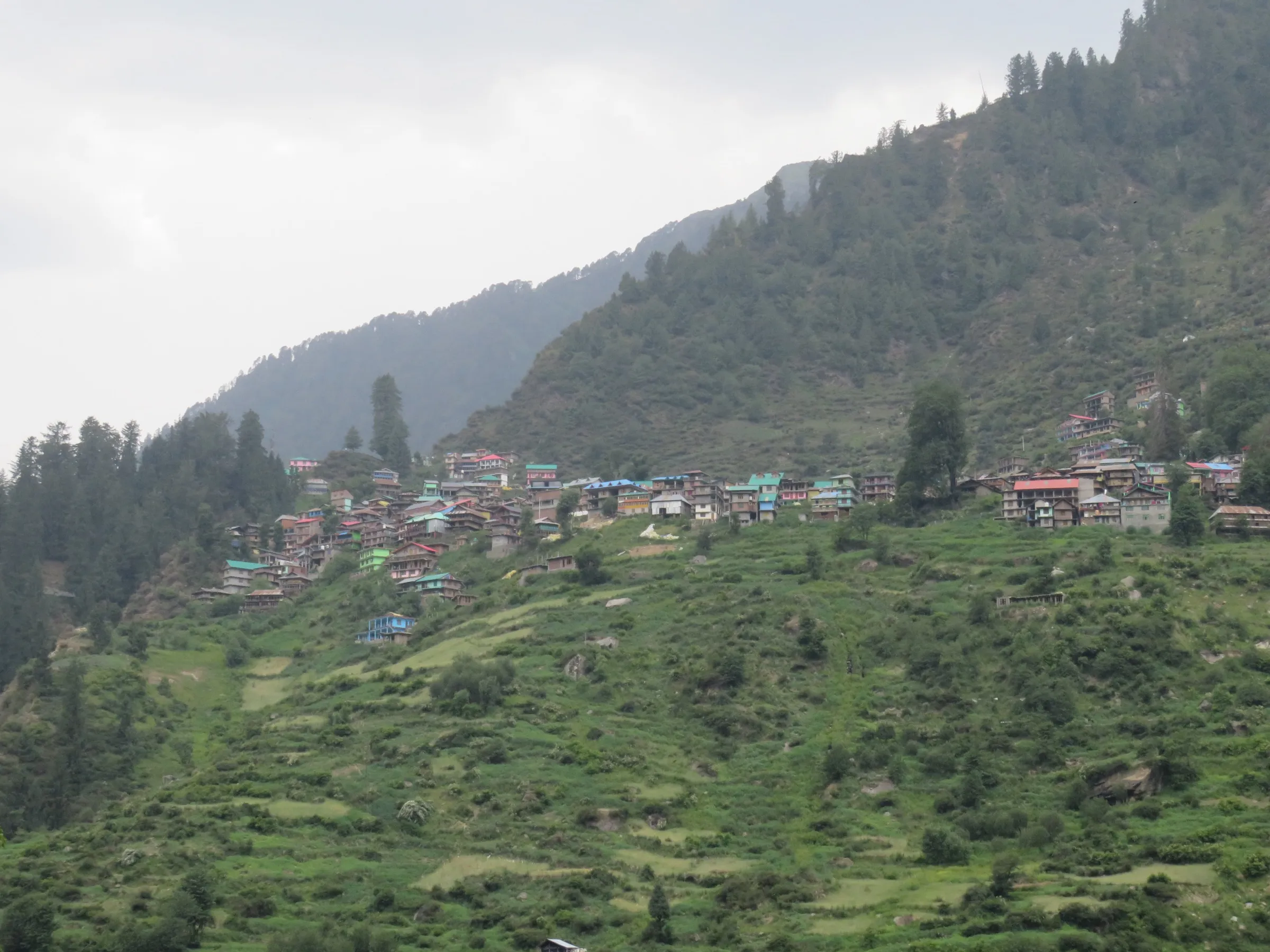
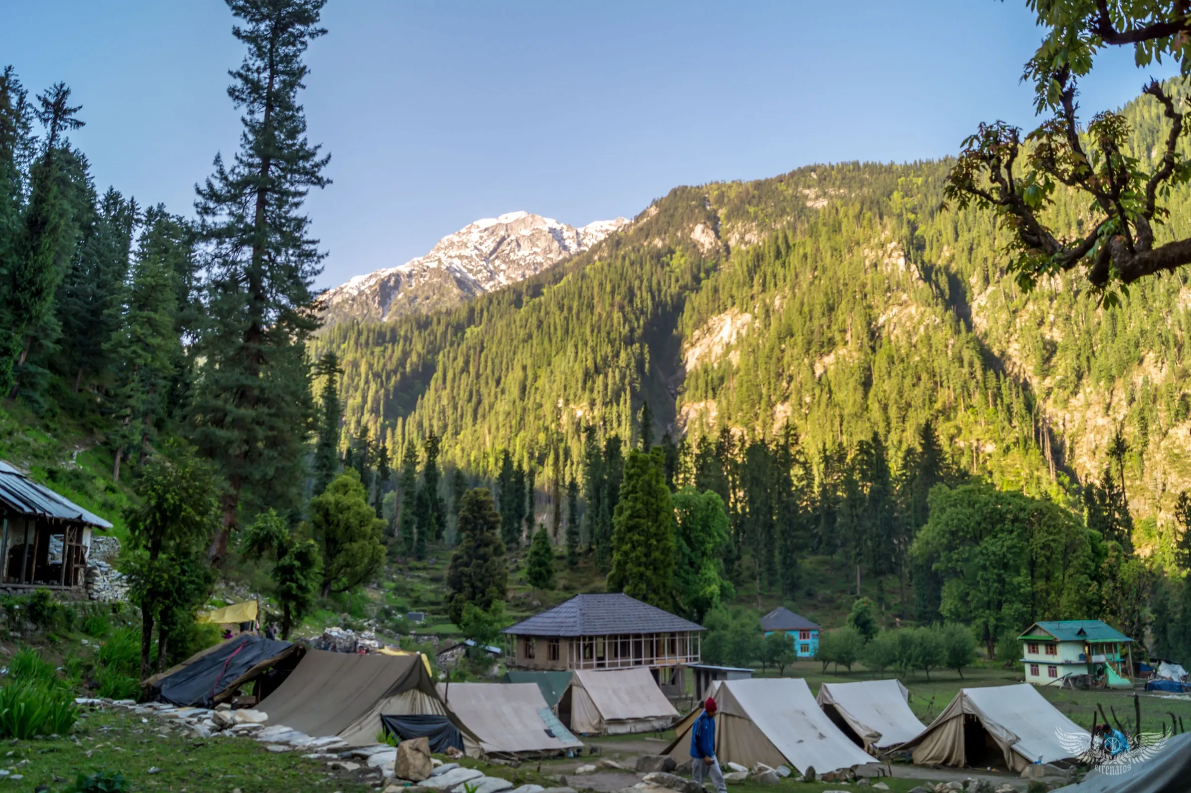
- Riverside camps along the Malana river at Behali and Mota Grahan, through dense forest and shepherds' thach (grazing meadows)
- Views of the peaks at the head of the Malana valley, which operators name as Ali Ratni Tibba, Tiger Teeth, Indrasan and Deo Tibba
- An offbeat, little-walked route that starts near Malana, one of the oldest villages of the Kullu region
Risks
- Altitude gain is the main challenge: from about 3,000 m at Magic Valley to about 4,200 m at Dev Roopa; know the signs of altitude sickness and descend if they worsen.
- The climb from Bogdi to Dev Roopa has three steep sections of about an hour each; trails are slippery after rain or early snow.
- Himalayan Hikers advises against July-August (landslides, washouts, leeches, sections cut by floods) and November-April (deep snow, avalanche risk in the upper valley, no support); other operators list June to October.
- The route is remote, with no permanent shelters above Malana and no mobile signal higher up; go with a guide.
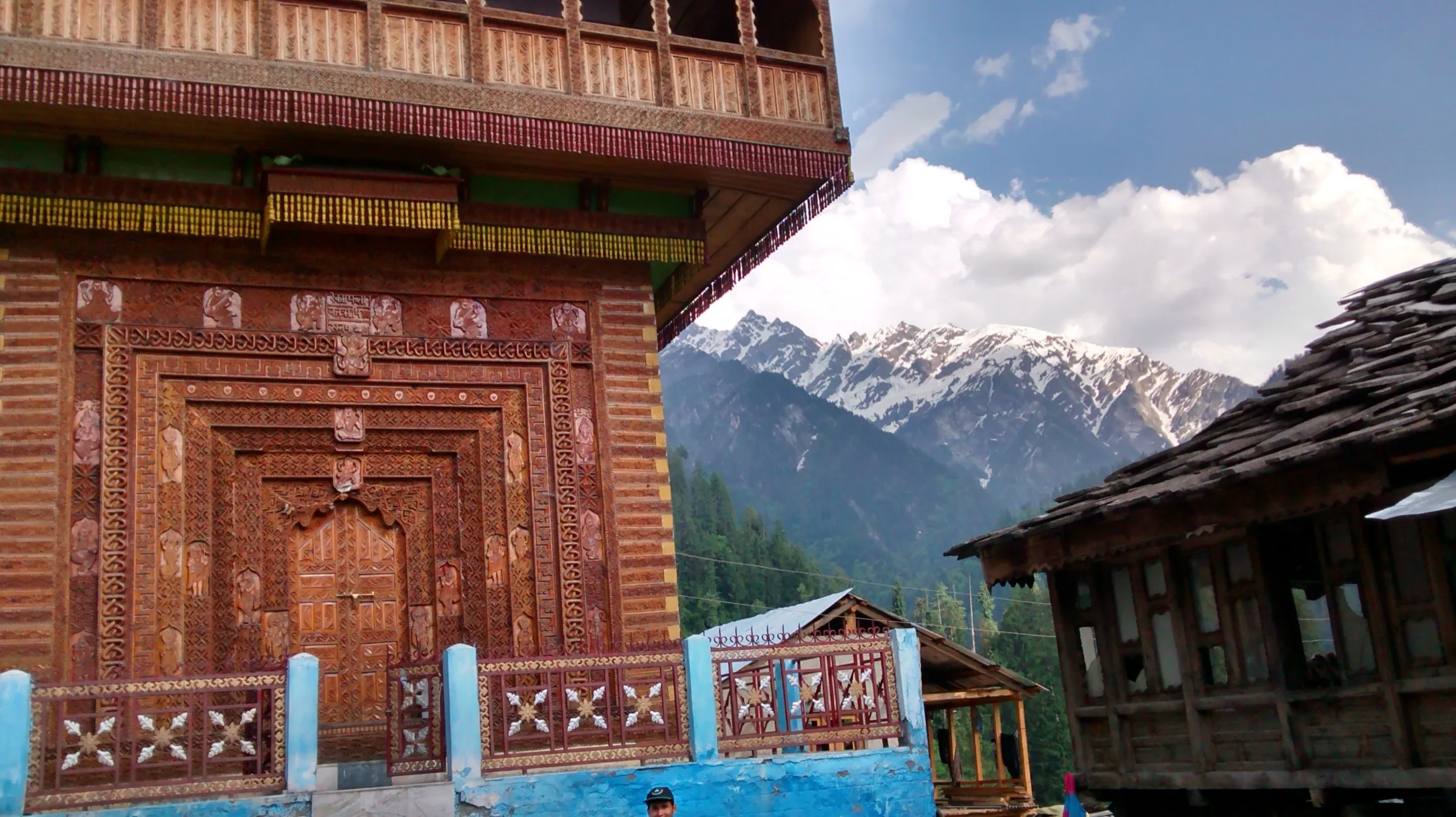
- Malana has its own strict customs and traditions: follow the rules posted at the village and your guide's instructions when passing through.
- A Himachal disaster-management advisory (September 2022) asked districts to restrict treks above 15,000 ft after 15 September; Dev Roopa is below that height, but check with the Kullu district administration before a late-season trip.
Know before you go
Questions
Where is Dev Roopa and where does the trek start?
Dev Roopa is a high meadow at the head of the Malana valley, a side valley of the Parvati valley in Kullu district. Operators meet in Kasol and drive to the Malana Dam roadhead, then walk up along the Malana river to camps at Behali (or Magic Valley), Mota Grahan and Bogdi, the base camp for Dev Roopa.
What is the best time for the Dev Roopa trek?
Bikat Adventures, TrekUp India and Thrillophilia give June to October. Himalayan Hikers prefers May-June and September-October and advises against July-August because of monsoon landslides. Winter (November to April) brings deep snow and is not done.
How difficult is Dev Roopa and how high does it go?
Operators grade it moderate. They give the meadow as about 4,100 to 4,280 m (Himalayan Hikers 13,451 ft, White Magic about 4,200 m, Bikat 4,280 m). The altitude gain and three steep climbs on the Dev Roopa day are the hard part; Bikat asks for prior Himalayan trekking experience.
How long is the trek?
Most operators run it in 5 days from Kasol to Kasol; Thrillophilia sells a 7-day version with an extra descent camp. Published distances disagree: Himalayan Hikers says 26 km, Bikat Adventures 56 km. Expect five to seven hours of walking a day.
Do I need a permit for Dev Roopa?
Guided groups include forest permits and camping charges in their price. We could not find a current official fee, so self-guided trekkers should check with the forest office and district administration in Kullu.
In an emergency
Save these numbers before you lose signal. Tap to call.
- 112All emergenciesIndia’s single emergency number — works in every state
- 108Ambulance
- 1077District disaster control room
You are in
District: KulluHimachal Pradesh
- Nearest hospital
- Health centres in the Parvati valley (Jari, Kasol, Manikaran) for first care; Regional Hospital Kullu for serious cases (not confirmed by a trek source)
- Last ATM
- Kullu or Bhuntar; the few ATMs in Kasol often run out of cash (Himalayan Hikers). Carry cash.
- Phone network
- Himalayan Hikers says there is no mobile network in the higher parts of the route; expect signal only near the roadhead and Malana (not confirmed by a second source).
Before you set off
- Tell someone your route and when you will be back.
- Carry a charged phone and a power bank.
- Download an offline map of the route.
- Turn back if the weather turns bad — the mountain will wait.
Questions about Dev Roopa
No questions yet. Ask something and trekkers who have done it can answer.
Share your trek photo with #TreksAndTrails
I trekked this
Did Dev Roopa look different from this page? Tell us what changed and we will check it.
Where this comes from
Sources
Last reviewed:
- Dev Roopa Trek - God's Descent near Malana — Bikat Adventures
- Dev Roopa Trek 2026 Best time, cost, itinerary, difficulty — Himalayan Hikers
- Dev Roopa Trek — TrekUp India
- Chandrakhani Pass & Dev Roopa Trek — White Magic Adventure Travel
- Dev Roopa Trek, Himachal Pradesh — Thrillophilia
- Dev Roopa Trek Expedition 2019 - Heaven Of Himalaya — Tripoto (trip report by Nachiket Parchure)
- Himachal Government restricts trekking in high-altitude tracks from September 15 — The Tribune
Photos: Greenpenguin3459, CC BY-SA 4.0; Anees Mohammed KP, CC BY-SA 4.0