Panch Kedar Trek
Rudraprayag and Chamoli, Uttarakhand
Opens without signal on this phone, with the map file and checklist. Saved for offline →
- Max altitude
- 3,900 m
- Days
- 12 days
- Distance
- 114 km
- Difficulty
- Difficult
Five separate climbs in twelve days, four of them to temples at about 3,500-3,700 m, with long road drives in between. The Rudranath leg is steep, about 20 km each way with few facilities, and the descents from Kedarnath, Madhyamaheshwar and Rudranath are each 16-20 km in a day.
Photos
On the trail
The route
Day by day
Day 1
Rishikesh → Guptkashi
340 m → 1,320 m
Day 2
Guptkashi (drive to Sonprayag and Gaurikund) → Kedarnath
1,320 m → 3,583 m
Day 3
Kedarnath → Ukhimath (via Gaurikund, then drive)
3,583 m → 1,311 m
Day 4
Ukhimath (drive to Ransi) → Gaundar
1,311 m → 1,850 m
Day 5
Gaundar → Madhyamaheshwar
1,850 m → 3,497 m
Day 6
Madhyamaheshwar → Chopta (via Ransi, then drive)
3,497 m → 2,680 m
Day 7
Chopta → Gopeshwar (via Tungnath, then drive)
2,680 m → 3,680 m → 1,550 m
Day 8
Gopeshwar (drive to Sagar) → Panar Bugyal
1,550 m → 3,400 m
Day 9 · highest point
Panar Bugyal → Rudranath
3,400 m → 3,900 m → 3,600 m
Day 10
Rudranath → Gopeshwar (via Sagar)
3,600 m → 1,550 m
Day 11
Gopeshwar (drive to Devgram via Helang) → Kalpeshwar and Urgam
1,550 m → 2,200 m
Day 12
Urgam → Rishikesh
2,200 m → 340 m
Ups and downs
Altitude profile
Where it is
Map
Trailhead and high point only — not a recorded track. Use it with a proper map.
Weather
Next 5 days on the trail
Live forecast for the trailhead and the high point. Mountain weather changes fast — check again on the morning you start.
Trailhead · Gaurikund
at 1,320 mLoading forecast…
High point · Pitradhar ridge (Rudranath trail)
at 3,900 mLoading forecast…
Each day: high / low °C · rain mm and chance · snow cm · wind km/h
Weather data: Open-Meteo.comModel forecast, not an official warning. For alerts follow IMD and the local administration.
Plan the trip
How to reach
- Trailhead
- Gaurikund (nearest town: Guptkashi)
- Nearest railway
- Yog Nagari Rishikesh
- Nearest airport
- Jolly Grant Airport, Dehradun
- By road
- Rishikesh to Sonprayag via Devprayag, Rudraprayag and Guptkashi (about 210 km); shared jeeps run the last 5 km to Gaurikund; The circuit ends at Helang on the Rishikesh-Badrinath highway, about 250 km from Rishikesh
- Drive
- About 9 h from Rishikesh
Plan the trip
Permits and fees
We could not confirm the current permit rules and fees from an official source. Check with the local forest department or tourism office before you go.
Plan the trip
Cost
Self-guided
₹25,000–45,000
With an operator
₹42,000–68,000
Per person, ex-Rishikesh. Guided prices published October 2026: Himalayan Dream Treks ₹40,000 + 5% GST (12 days); Trek The Himalayas ₹64,500 + 5% GST (12 days, Rishikesh to Rishikesh). Self-guided is an estimate for 12 days: buses and shared jeeps between the five road heads, 11 nights in hotels, homestays and temple dharamshalas (₹500-3,500 a night on these routes), simple meals, and a local guide or porter for the Rudranath trail.
Gear
Top picks for this trek
The gear that matters most on this route, chosen from its altitude, season and risks.
 Ad · affiliate link
 Ad · affiliate link
 Ad · affiliate link
 Ad · affiliate link
 Ad · affiliate link
 Ad · affiliate link
 Ad · affiliate link
 Ad · affiliate link
Store buttons open a search on that store, not a product we picked. As an Amazon Associate we earn from qualifying purchases. Photos show the kind of item, not a specific product. Affiliate disclosure
Packing checklist
Matched to this trek: altitude, season, days and the risks on the route.
Packed 0 of 34
Nights near 3,900 m can drop close to freezing even in summer. Pack one more warm layer than you think.
Tick each item as it goes in the bag.
Know before you go
Good to know
- Mobile network
- Mobile network is patchy on the trails; reliable signal is found mainly in the larger towns such as Guptkashi, Ukhimath, Gopeshwar and Joshimath.
- Last ATM
- Guptkashi, Ukhimath, Gopeshwar and Joshimath have ATMs; there are none beyond Ukhimath on the Madhyamaheshwar trail or on the trails themselves, so carry cash.
- Nearest hospital
- Medical posts at Bhimbali and Linchauli on the Kedarnath trail; district hospitals at Rudraprayag and Gopeshwar; AIIMS Rishikesh for serious cases
- Water
- Tea stalls and streams on the Kedarnath, Madhyamaheshwar and Tungnath trails. On the Rudranath trail, fill up at Lyuti Bugyal and Panar: water is scarce between Panar and Pitradhar. Boil or treat stream water.
Highlights
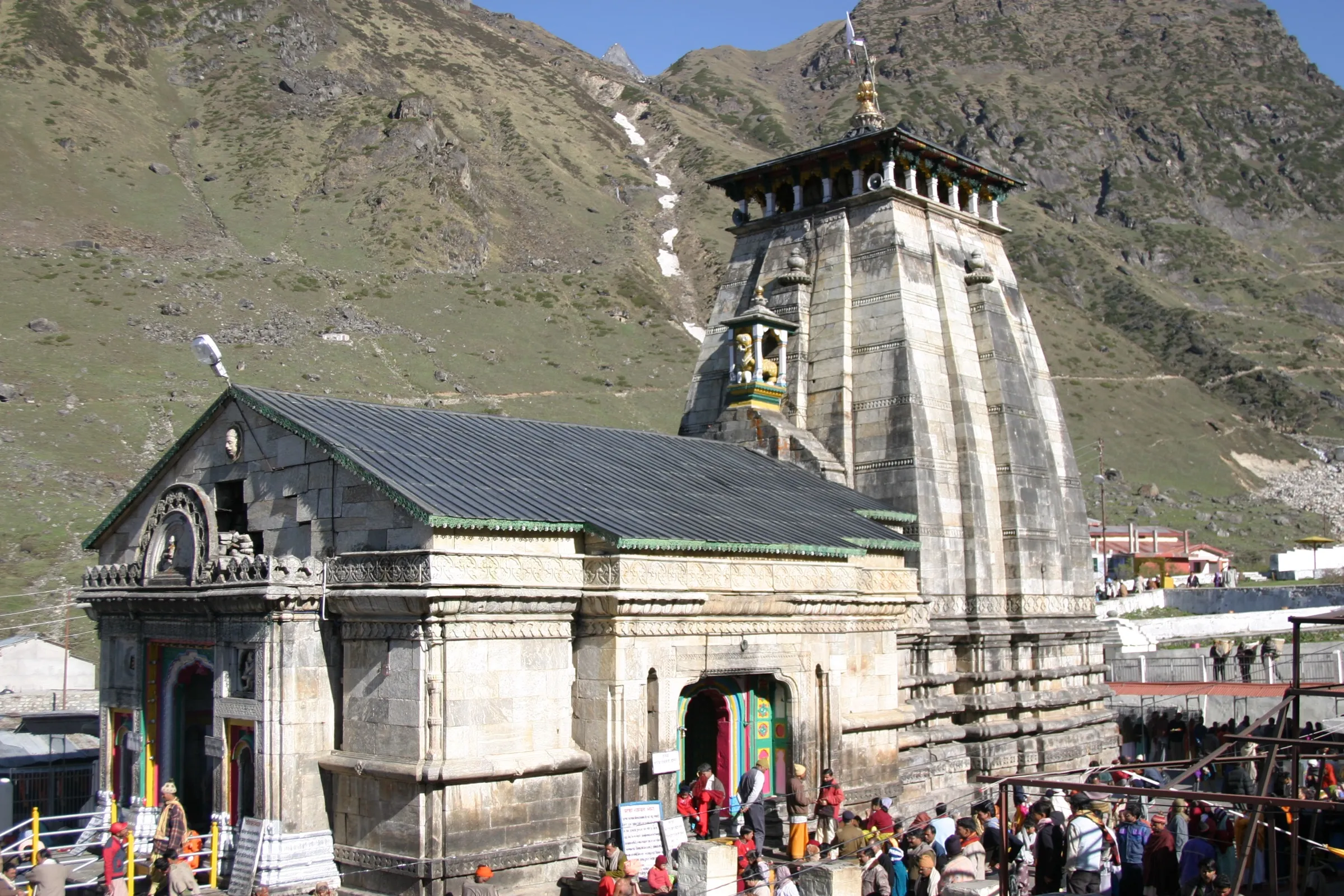
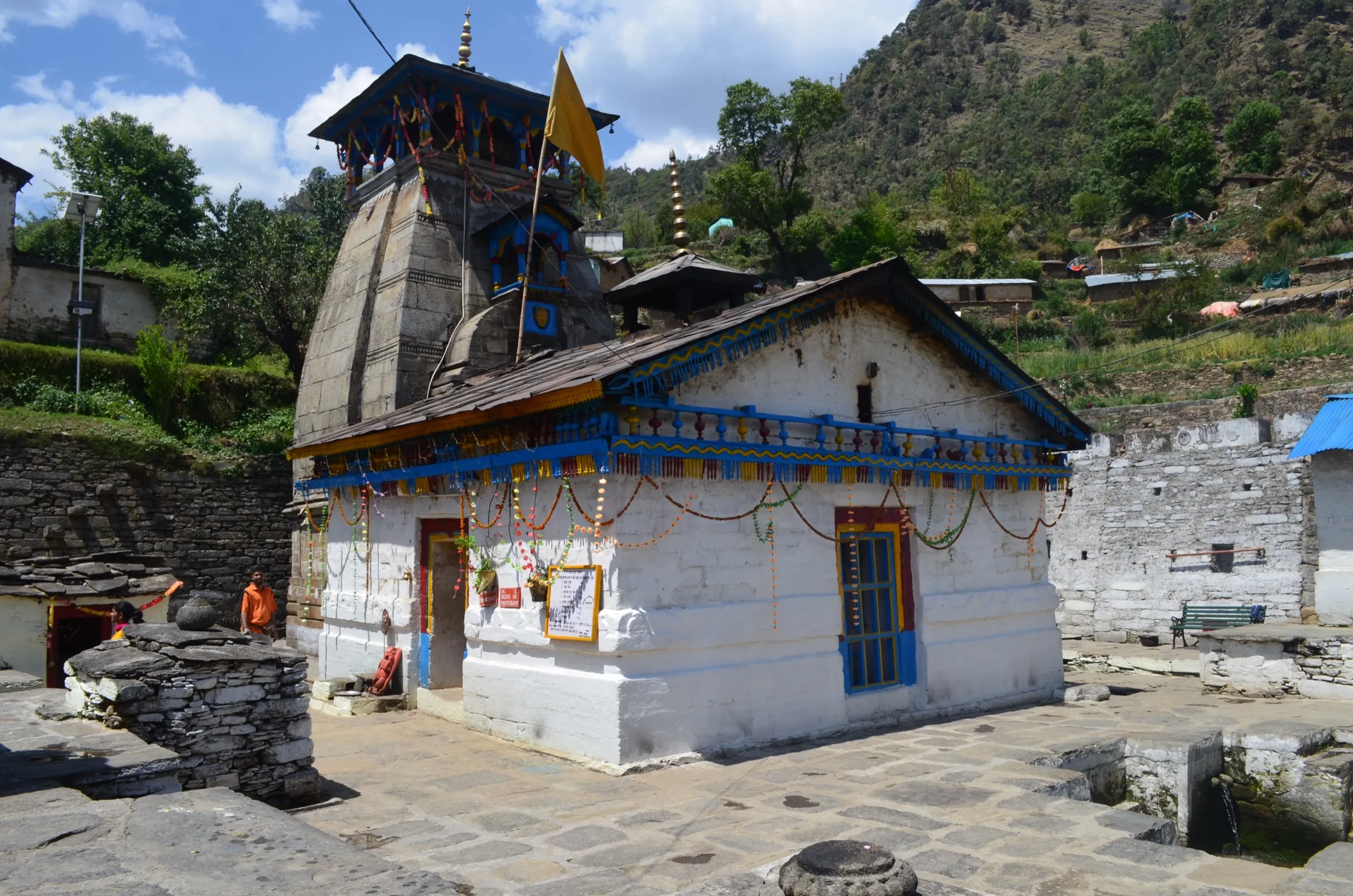
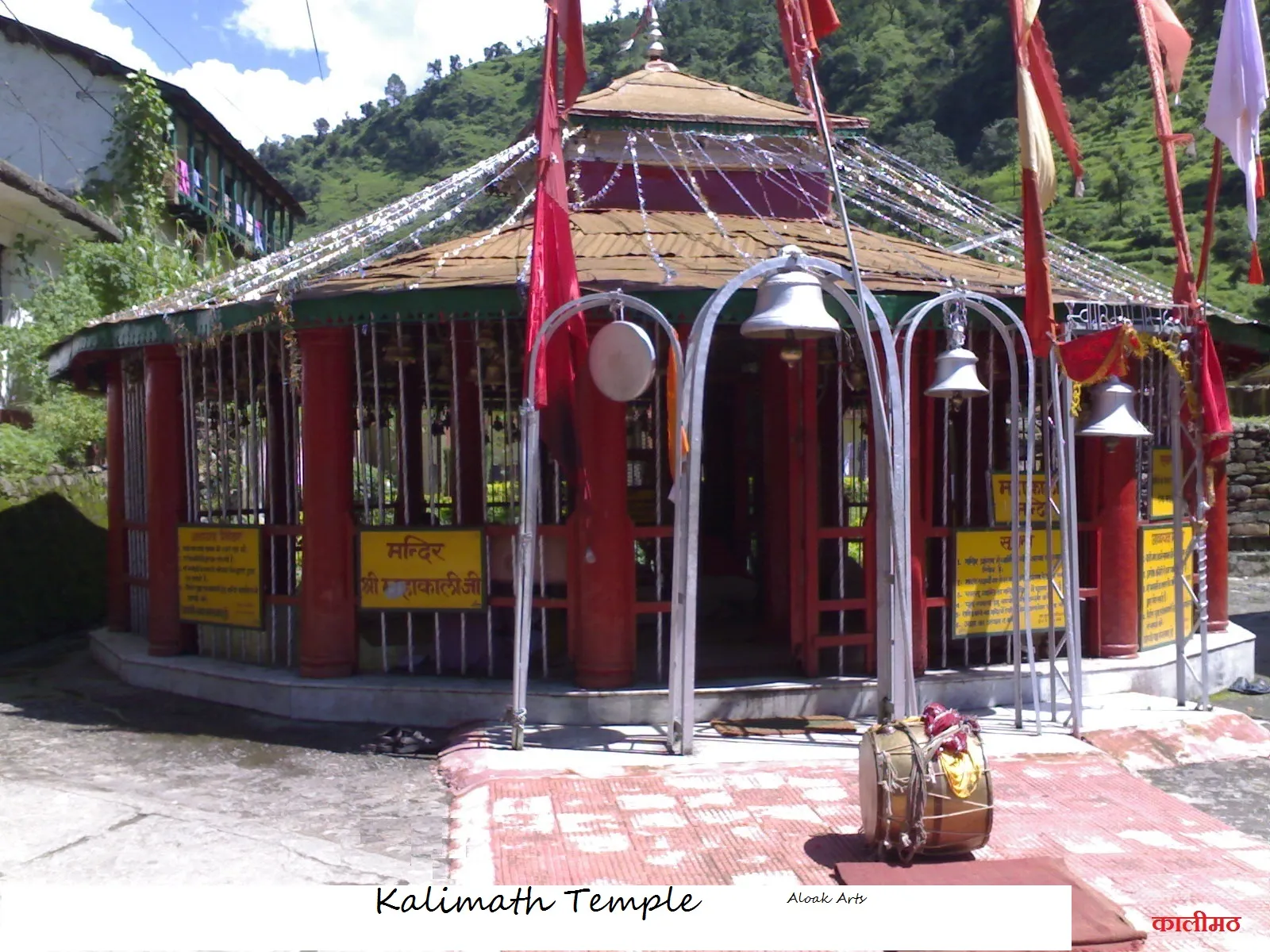
- Darshan of all five Kedars of Bhagwan Shiva: Kedarnath, Madhyamaheshwar, Tungnath, Rudranath and Kalpeshwar, in the order that avoids backtracking
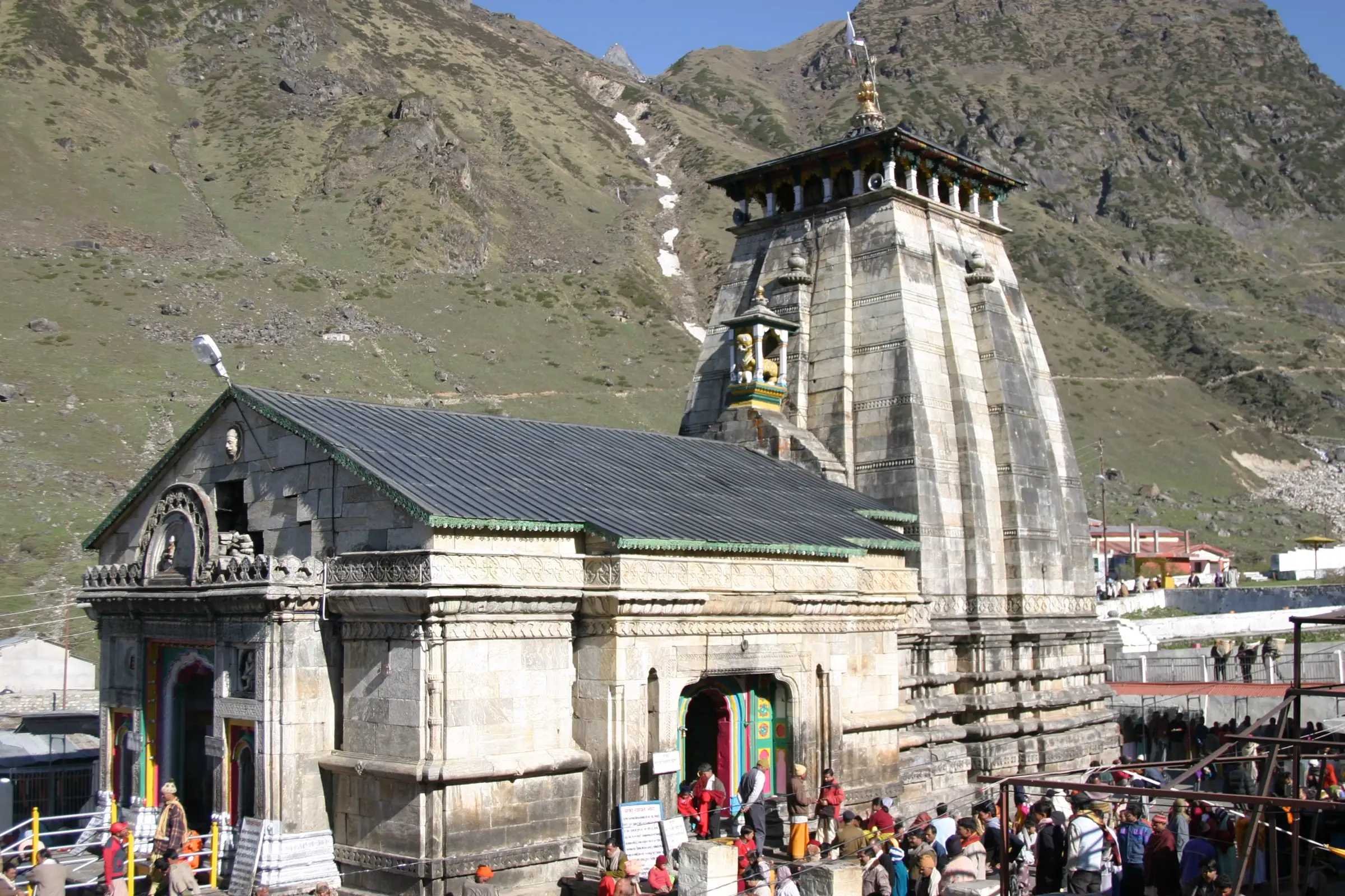
- Kedarnath, one of the twelve Jyotirlingas, in its glacial amphitheatre at 3,583 m, with Adi Shankaracharya's samadhi and Bhim Shila behind the temple
- Tungnath at 3,680 m, the highest Shiva temple in the world and the highest of the five Kedar temples, with an optional climb to Chandrashila
- Village homestays and oak-rhododendron forest on the Madhyamaheshwar trail, and Chaukhamba reflected in the pond at Buda Madhyamaheshwar
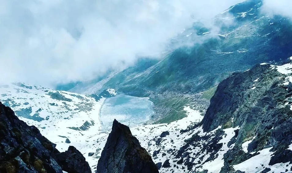
- The high meadows of Lyuti and Panar Bugyal and the open Pitradhar ridge (about 3,900 m, the highest point walked on the yatra) on the way to the cave temple of Rudranath
Risks
- Altitude: four of the five temples stand at about 3,500-3,700 m, and the Rudranath trail crosses the Pitradhar ridge at about 3,900 m, the highest point of the yatra; optional Chandrashila is about 4,000 m. Climb gradually and descend if headache or breathlessness worsens.
- The Rudranath trail is steep and remote, about 20 km one way with very basic shelter; budget two days up.
- Monsoon (July-August) brings landslides and road closures on the Rudraprayag and Chamoli highways; operators do not advise the yatra then.
- Closing dates differ: Rudranath usually closes in mid-October (17 October in 2026), before the others, so an October yatra must reach Rudranath first or early.
- Weather on the high trails usually turns after 1 pm; start each climb early.
Know before you go
Questions
What is the Panch Kedar Yatra?
It is the pilgrimage to five temples of Bhagwan Shiva in the Garhwal Himalaya: Kedarnath, Madhyamaheshwar, Tungnath, Rudranath and Kalpeshwar. The sacred account tells that after the Mahabharata war Mahadev took the form of a bull to test the Pandavas, and different parts of that form appeared at these five places, where he is worshipped to this day.
How many days does the complete Panch Kedar Yatra take?
About 12 days from Rishikesh back to Rishikesh, with roughly 110-120 km on foot and about 690 km by road. Fit trekkers can do it in 10 days; keep one or two buffer days for weather.
In which order should I visit the five Kedars?
Shastra lists them as Kedarnath, Tungnath, Rudranath, Madhyamaheshwar and Kalpeshwar. On the road, Kedarnath, Madhyamaheshwar, Tungnath, Rudranath and then Kalpeshwar avoids backtracking. The darshan is equally complete in either order.
When is the best time for the Panch Kedar Yatra?
May-June and September-October. The four high temples close for winter between October and November and reopen in late April or May; Kalpeshwar is open all year. July-August monsoon brings landslides and is not advised.
Which is the toughest of the five treks?
Rudranath, about 20 km one way from Sagar with steep climbs and few facilities. Tungnath (about 3.5 km from Chopta) and Kalpeshwar (a short walk from Devgram) are the easiest.
Do I need a permit or registration?
Yatra registration is required for Kedarnath under Uttarakhand Tourism's Char Dham registration system; carry the QR slip and a photo ID. Guided groups include forest entry fees. We could not confirm current official fees for the other trails, so check locally.
Where can I find a complete guide to the Panch Kedar Yatra?
Our sister site www.panchkedar.in is a detailed guide to the yatra: each temple's katha, opening and closing dates, darshan timings, day-by-day itineraries, stays and how to reach every road head.
In an emergency
Save these numbers before you lose signal. Tap to call.
- 112All emergenciesIndia’s single emergency number — works in every state
- 108Ambulance
- 1077District disaster control room
You are in
District: Rudraprayag and ChamoliUttarakhand
- Nearest hospital
- Medical posts at Bhimbali and Linchauli on the Kedarnath trail; district hospitals at Rudraprayag and Gopeshwar; AIIMS Rishikesh for serious cases
- Last ATM
- Guptkashi, Ukhimath, Gopeshwar and Joshimath have ATMs; there are none beyond Ukhimath on the Madhyamaheshwar trail or on the trails themselves, so carry cash.
- Phone network
- Mobile network is patchy on the trails; reliable signal is found mainly in the larger towns such as Guptkashi, Ukhimath, Gopeshwar and Joshimath.
Before you set off
- Tell someone your route and when you will be back.
- Carry a charged phone and a power bank.
- Download an offline map of the route.
- Turn back if the weather turns bad — the mountain will wait.
Questions about Panch Kedar
No questions yet. Ask something and trekkers who have done it can answer.
Share your trek photo with #TreksAndTrails
I trekked this
Did Panch Kedar look different from this page? Tell us what changed and we will check it.
Where this comes from
Sources
Last reviewed:
- Panch Kedar itineraries — Complete Panch Kedar Yatra — panchkedar.in
- Tungnath — Third Kedar — panchkedar.in
- Panch Kedar Yatra — Himalayan Dream Treks
- Panch Kedar Trek — Trek The Himalayas
- Rudranath Trek — Himalayan Dream Treks
- Rudranath Trek 2026: Route, Itinerary & Permit Guide — StayVista
- Panch Kedar Trek — Himalaya Shelter
- Panch Kedar — Wikipedia
Photos: Shaq774 at en.wikipedia, Public domain; Varun Shiv Kapur from Berkeley, United States, CC BY 2.0; Bodhisattwa, CC BY-SA 4.0; Cvashisth, CC BY-SA 3.0