Narmada Backwaters Trek
Alirajpur, Madhya Pradesh
Opens without signal on this phone, with the map file and checklist. Saved for offline →
- Max altitude
- 400 m
- Days
- 3 days
- Distance
- 15.5 km
- Difficulty
- Easy
Indiahikes rates it easy overall, with gradual ups and downs; day 2 and day 3 are moderate, and the one steep push is about 1 km at roughly 70 degrees on loose gravel up to Jalsindhi Top.
The route
Day by day
Day 1
Vadodara → Kherwada (Gawani Waterfall walk)
330 m → 330 m
Day 2
Kherwada (drive to Khadambli) → Chilakda camp on the backwaters
330 m → 150 m
Day 3 · highest point
Chilakda camp → Jalsindhi Top, then Khodamba roadhead (drive to Vadodara)
150 m → 400 m → 330 m
Ups and downs
Altitude profile
Where it is
Map
Trailhead and high point only — not a recorded track. Use it with a proper map.
Weather
Next 5 days on the trail
Live forecast for the trailhead and the high point. Mountain weather changes fast — check again on the morning you start.
Trailhead · Kherwada
at 330 mLoading forecast…
High point · Jalsindhi Top (approximate position)
at 400 mLoading forecast…
Each day: high / low °C · rain mm and chance · snow cm · wind km/h
Weather data: Open-Meteo.comModel forecast, not an official warning. For alerts follow IMD and the local administration.
Plan the trip
How to reach
- Trailhead
- Kherwada (nearest town: Alirajpur)
- Nearest railway
- Vadodara Junction (Indiahikes pickup point); Indore is the railhead named by MP Tourism
- Nearest airport
- Vadodara Airport (Indiahikes); Devi Ahilya Bai Holkar Airport, Indore (MP Tourism)
- By road
- Vadodara to Kherwada, about 127-130 km (about 3 hours), per Indiahikes; Alirajpur city to Kherwada, 48 km (MP Tourism)
- Drive
- About 3 h from Vadodara
Plan the trip
Permits and fees
We could not confirm the current permit rules and fees from an official source. Check with the local forest department or tourism office before you go.
Plan the trip
Cost
Self-guided
₹2,500–5,000
With an operator
₹6,000–9,500
Per person, ex-Vadodara. Rough estimate only. Indiahikes lists a trek fee of 71.97 (shown in USD on its page) plus 5% GST and about 29 for transport, and the page mixes currencies, so the INR range is our conversion; shared SUV about Rs 5,500-6,000 per vehicle for four is paid to the driver. Self-guided is a reasoned estimate (transport, homestay, local help) and needs forest department permission from Bakhatgarh. Only one operator found, so the price is unconfirmed.
Gear
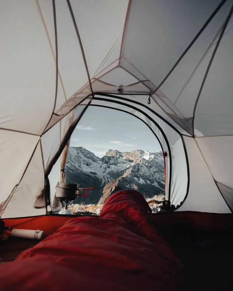
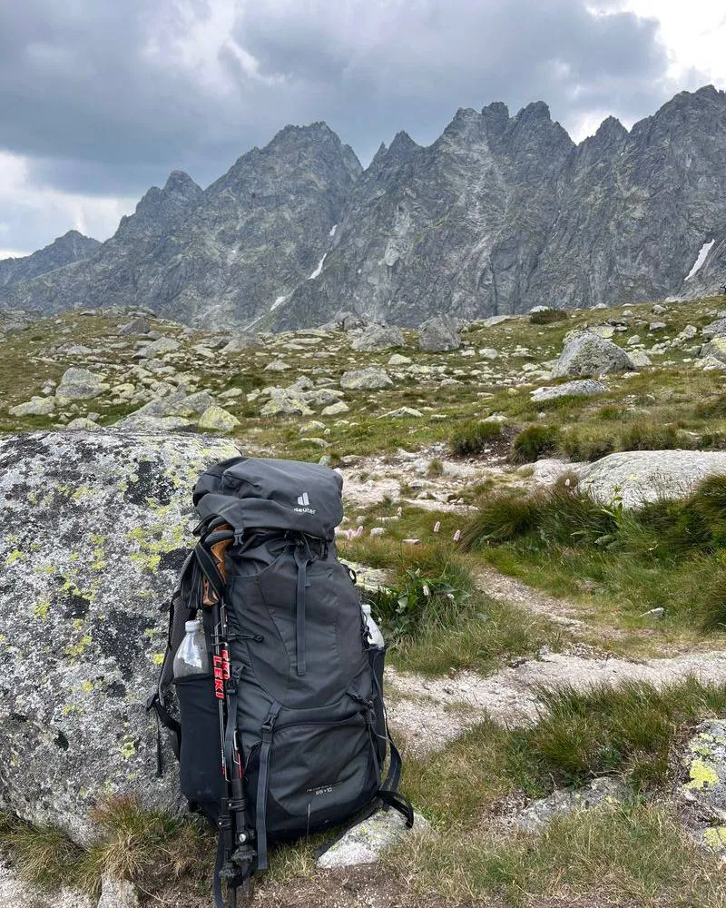
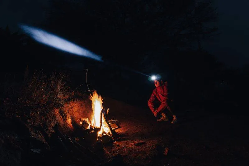
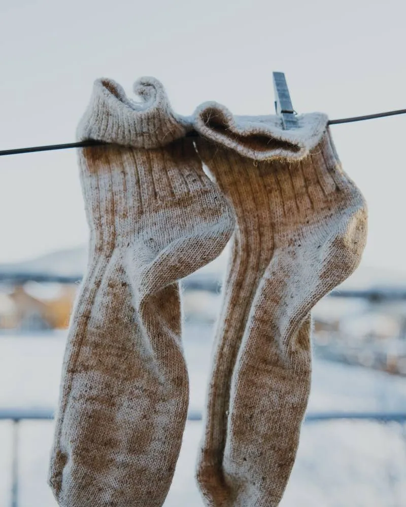
Top picks for this trek
The gear that matters most on this route, chosen from its altitude, season and risks.
 Ad · affiliate link
 Ad · affiliate link
 Ad · affiliate link
 Ad · affiliate link
 Ad · affiliate link
 Ad · affiliate link
 Ad · affiliate link
 Ad · affiliate link
Store buttons open a search on that store, not a product we picked. As an Amazon Associate we earn from qualifying purchases. Photos show the kind of item, not a specific product. Affiliate disclosure
Packing checklist
Matched to this trek: altitude, season, days and the risks on the route.
Packed 0 of 27
Tick each item as it goes in the bag.
Know before you go
Good to know
- Mobile network
- Not stated by sources; interior tribal area, expect patchy or no signal at the backwaters camp.
- Last ATM
- Not stated; carry cash from Alirajpur or Vadodara.
- Nearest hospital
- Primary Health Centre at Alirajpur (Indiahikes); Vadodara has better facilities.
- Water
- Indiahikes: the team carries water between campsites and fresh streams on the trail can be used to refill bottles. Treat all water.
Highlights
- Camping on the shore of the Narmada backwaters at Chilakda
- Gawani Waterfall, a multistep fall reached through a narrow gorge
- Jalsindhi Top, a viewpoint at the tri-junction of Madhya Pradesh, Maharashtra and Gujarat
- A homestay night in Kherwada, a tribal village in Alirajpur district
Risks
- Indiahikes states the trek is not currently running (checked October 2026). Confirm availability before planning; no forest-order closure was found.
- Crocodiles: Indiahikes advises staying on land and not entering the water.
- The steep gravel slope to Jalsindhi Top is slippery, and the descent is trickier; the wet stones at Gawani Waterfall and a stream crossing near Chilakda are also slippery.
- Monsoon rain can flood campsites and make trails slushy; mosquitoes are common.
- Mandatory: original government ID with photocopies for the forest department; independent trekking needs forest department permission from Bakhatgarh.
Know before you go
Questions
How long is the Narmada Backwaters trek?
Indiahikes lists a 3-day trek of about 15.5-16 km: a gorge walk to Gawani Waterfall on day 1, about 6-7 km to the backwaters camp on day 2, and about 6 km to Jalsindhi Top and the roadhead on day 3.
Is the Narmada Backwaters trek safe, and are there crocodiles?
Indiahikes calls it safe if you stay on land. It advises against entering the water because of crocodiles, and warns of slippery rock at the waterfall and a steep, loose gravel climb to Jalsindhi Top.
Can I do the Narmada Backwaters trek on my own?
Indiahikes says independent trekking is possible with permission from the forest department at Bakhatgarh. Carry original ID with photocopies; we could not confirm any fee.
How do I reach the starting village Kherwada?
Indiahikes picks up from Vadodara station or airport at 8 am and drives about 127-130 km (about 3 hours) to Kherwada. MP Tourism places Kherwada 48 km from Alirajpur city, with Indore the nearest airport and railhead on its side.
In an emergency
Save these numbers before you lose signal. Tap to call.
- 112All emergenciesIndia’s single emergency number — works in every state
- 108Ambulance
- 1077District disaster control room
You are in
District: AlirajpurMadhya Pradesh
- Nearest hospital
- Primary Health Centre at Alirajpur (Indiahikes); Vadodara has better facilities.
- Last ATM
- Not stated; carry cash from Alirajpur or Vadodara.
- Phone network
- Not stated by sources; interior tribal area, expect patchy or no signal at the backwaters camp.
Before you set off
- Tell someone your route and when you will be back.
- Carry a charged phone and a power bank.
- Download an offline map of the route.
- Turn back if the weather turns bad — the mountain will wait.
Questions about Narmada Backwaters
No questions yet. Ask something and trekkers who have done it can answer.
Share your trek photo with #TreksAndTrails
I trekked this
Did Narmada Backwaters look different from this page? Tell us what changed and we will check it.
Where this comes from
Sources
Last reviewed:
- Narmada Backwaters Trek — Indiahikes
- Trekking Adventures in Madhya Pradesh — Madhya Pradesh Tourism (official)
- Narmada Backwaters Trek - Kherwada, Alirajpur — Madhya Pradesh Tourism (official)