Nanda Devi Raj Jat Trek
Chamoli, Uttarakhand
Opens without signal on this phone, with the map file and checklist. Saved for offline →
- Max altitude
- 4,880 m
- Days
- 19 days
- Distance
- 245 km
- Difficulty
- Challenging
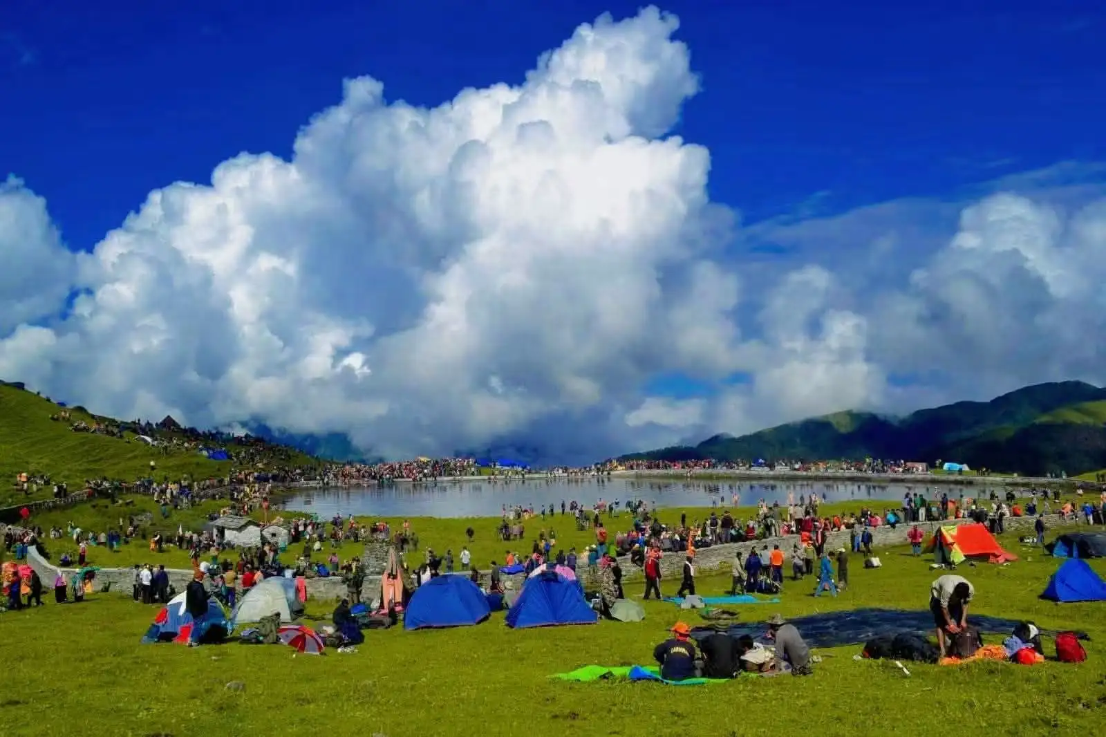
A periodic yatra of about 19 days on foot: long daily village marches, then a high section from Bedni Bugyal over Junargali (about 16,000 ft) to Shila Samudra and Homkund, walked with very large crowds and only during the yatra year.
Photos
On the trail
The route
Day by day
Day 1
Nauti (Maa Nanda temple) → Ida Badhani
1,710 m → 1,600 m
Day 2
Ida Badhani → Sem (via Kansuwa)
1,600 m → 1,370 m
Day 3
Sem → Koti
1,370 m → 1,400 m
Day 4
Koti → Bhagoti
1,400 m → 1,300 m
Day 5
Bhagoti → Kulsari
1,300 m → 1,270 m
Day 6
Kulsari → Chepdon
1,270 m → 1,400 m
Day 7
Chepdon → Nandkeshri
1,400 m → 1,500 m
Day 8
Nandkeshri → Faldiyagaon
1,500 m → 1,700 m
Day 9
Faldiyagaon → Mundoli
1,700 m → 2,400 m
Day 10
Mundoli → Wan (via Lohajung)
2,400 m → 2,430 m
Day 11
Wan → Gairoli Patal
2,430 m → 3,000 m
Day 12
Gairoli Patal → Bedni Bugyal
3,000 m → 3,500 m
Day 13
Bedni Bugyal → Patar Nachauni
3,500 m → 3,870 m
Day 14
Patar Nachauni → Bhagwabasa (via Kalu Vinayak)
3,870 m → 4,300 m
Day 15 · highest point
Bhagwabasa → Shila Samudra (via Roopkund and Junargali)
4,300 m → 4,880 m → 4,000 m
Day 16
Shila Samudra → Chandaniya Ghat (via Homkund)
4,000 m → 4,060 m → 3,300 m
Day 17
Chandaniya Ghat → Sutol
3,300 m → 2,200 m
Day 18
Sutol → Ghat
2,200 m → 1,300 m
Day 19
Ghat → Nauti (by road)
1,300 m → 1,710 m
Ups and downs
Altitude profile
Where it is
Map
Trailhead and high point only — not a recorded track. Use it with a proper map.
Weather
Next 5 days on the trail
Live forecast for the trailhead and the high point. Mountain weather changes fast — check again on the morning you start.
Trailhead · Nauti
at 1,710 mLoading forecast…
High point · Junargali (Jyunra Gali) ridge above Roopkund
at 4,880 mLoading forecast…
Each day: high / low °C · rain mm and chance · snow cm · wind km/h
Weather data: Open-Meteo.comModel forecast, not an official warning. For alerts follow IMD and the local administration.
Plan the trip
How to reach
- Trailhead
- Nauti (nearest town: Karnaprayag)
- Nearest railway
- Rishikesh (Yog Nagari Rishikesh)
- Nearest airport
- Jolly Grant Airport, Dehradun
- By road
- Rishikesh (about 175 km to Karnaprayag via Devprayag and Rudraprayag, then a short drive to Nauti)
- Drive
- About 8 h from Rishikesh
Plan the trip
Permits and fees
We could not confirm the current permit rules and fees from an official source. Check with the local forest department or tourism office before you go.
Plan the trip
Cost
Self-guided
₹15,000–35,000
With an operator
₹36,000–70,000
Per person, ex-Karnaprayag; all figures are estimates. No operator we found publishes a price for the full Raj Jat (Himalayan Dream Treks' guide page shows no price). The only published reference is Bikat Adventures' 11-day Homkund trek (the high section only) at ₹36,000 + 5% GST ex-Lohajung; a full 19-day guided yatra would cost more. Self-guided: village hospitality along the lower route, then tent, food and a porter for the high section from Wan.
Gear
Top picks for this trek
The gear that matters most on this route, chosen from its altitude, season and risks.
 Ad · affiliate link
 Ad · affiliate link
 Ad · affiliate link
 Ad · affiliate link
 Ad · affiliate link
 Ad · affiliate link
 Ad · affiliate link
 Ad · affiliate link
Store buttons open a search on that store, not a product we picked. As an Amazon Associate we earn from qualifying purchases. Photos show the kind of item, not a specific product. Affiliate disclosure
Packing checklist
Matched to this trek: altitude, season, days and the risks on the route.
Packed 0 of 35
Nights near 4,880 m can drop close to freezing even in summer. Pack one more warm layer than you think.
Tick each item as it goes in the bag.
Know before you go
Good to know
- Mobile network
- Mobile signal in the larger villages of the lower route (Karnaprayag, Tharali, Dewal, Lohajung); little or none above Wan on the high section.
- Last ATM
- Dewal or Tharali; carry cash for the high section
- Nearest hospital
- Karnaprayag and Tharali for the lower route; Primary Health Centre at Dewal (basic) near Wan; Gopeshwar or Rudraprayag for serious cases
- Water
- Village taps and springs on the lower route; streams up to Bedni Bugyal; water is scarce on the rocky stretch from Bhagwabasa to Shila Samudra. Boil or treat all water.
Highlights
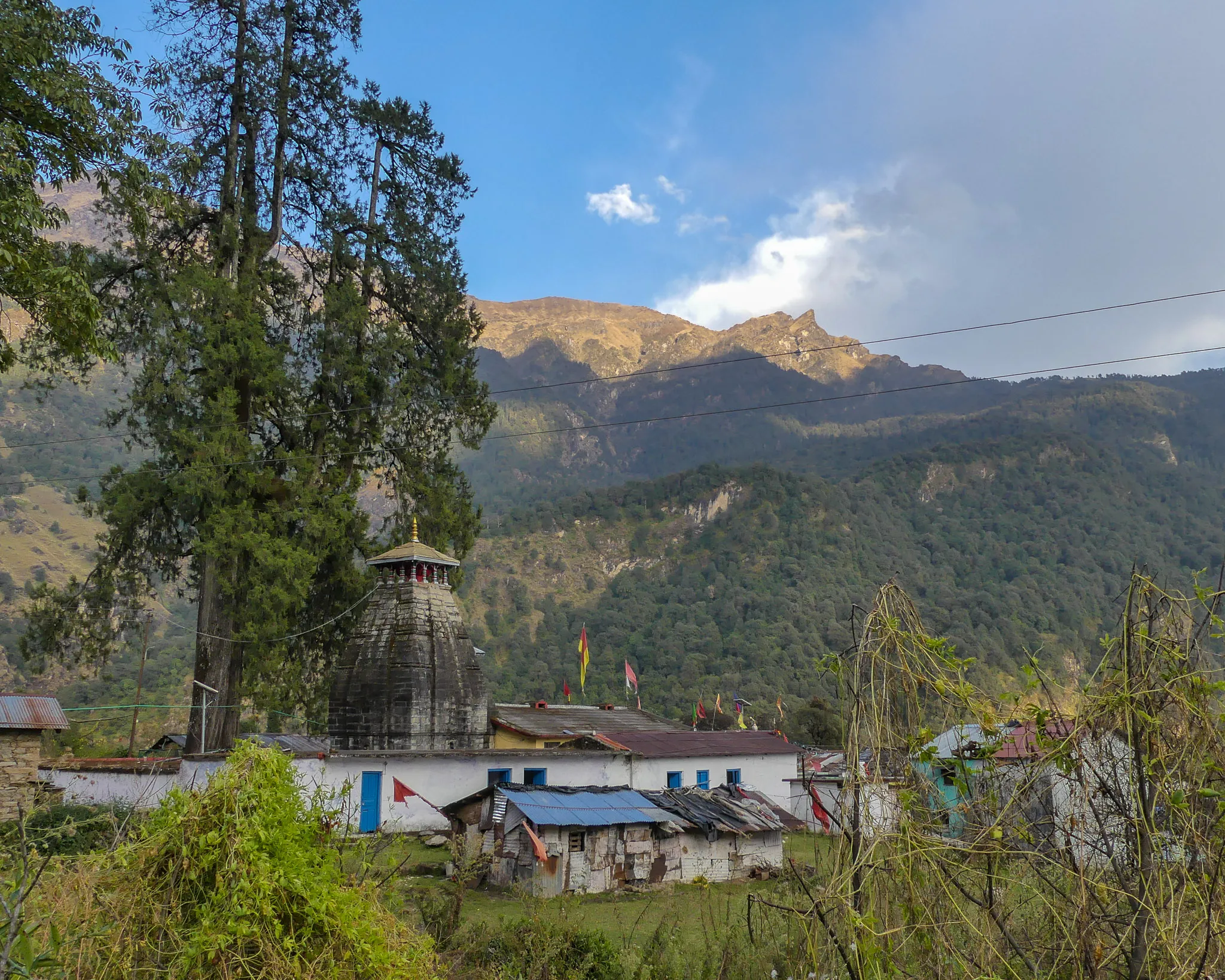
- Walking with Maa Nanda's doli and chhantoli as the villages of Chamoli send her off from her maiti (maternal home) towards Kailash
- The chausingya khadu, the four-horned ram that leads the yatra and is released towards the Himalaya at Homkund with the offerings on its back
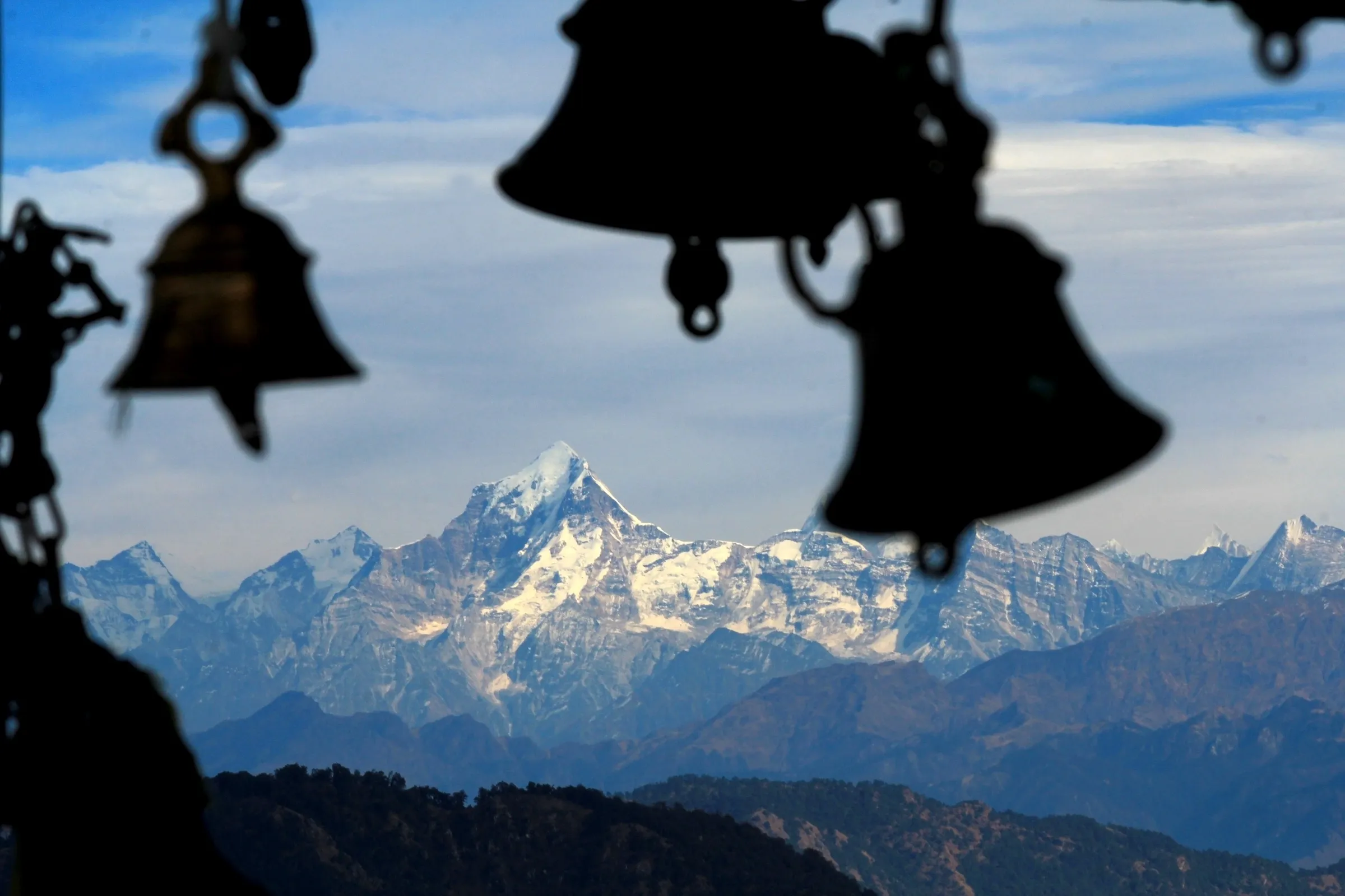
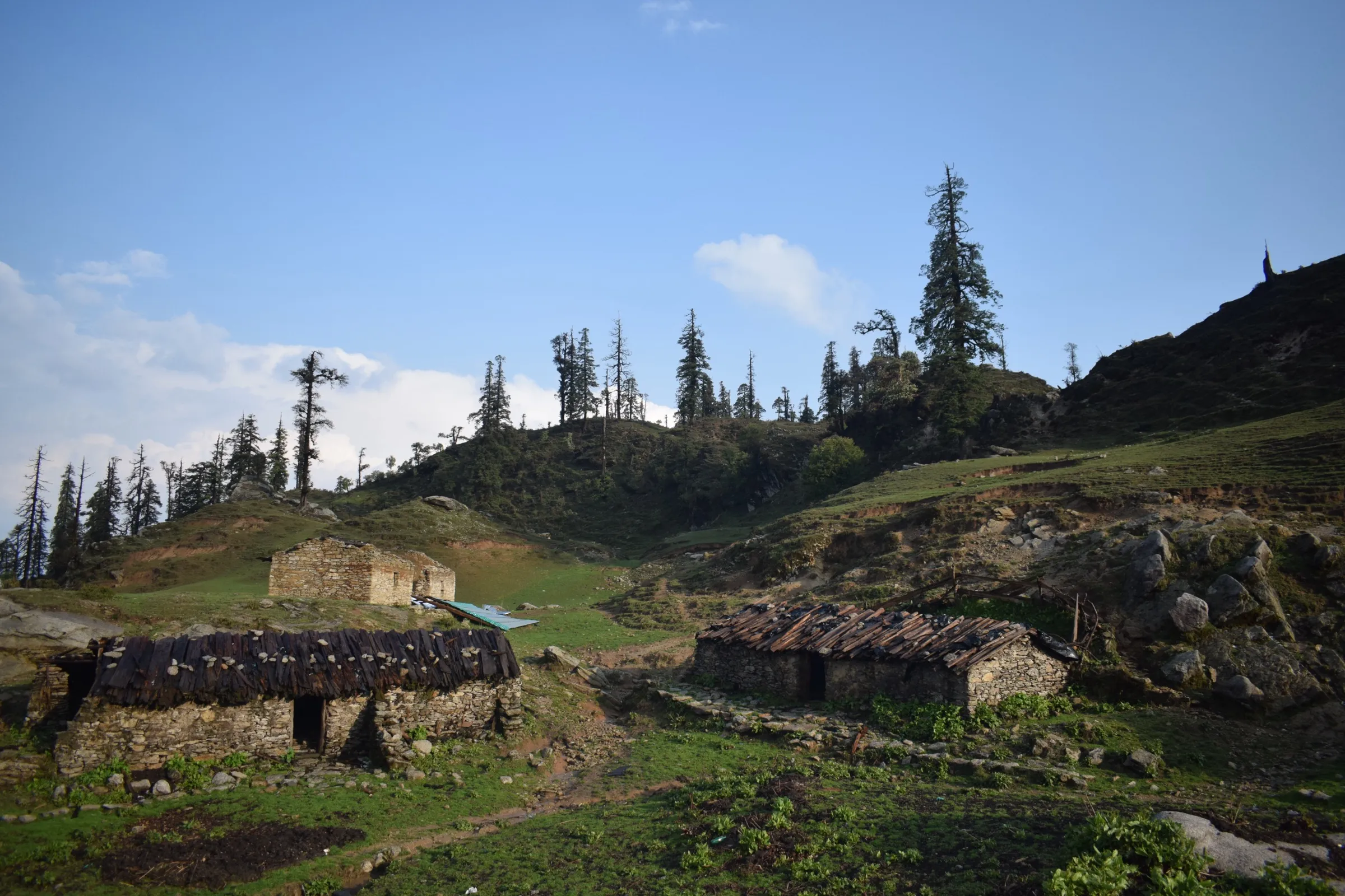
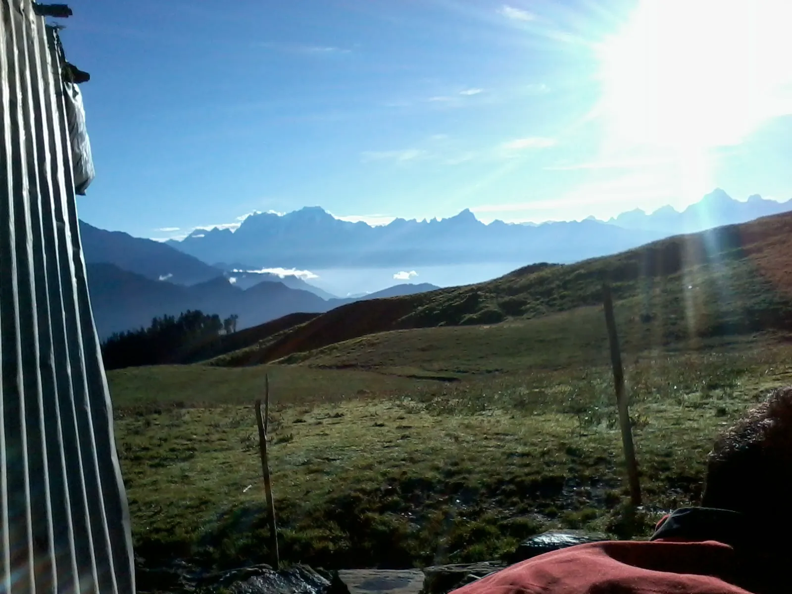
- Bedni Bugyal and Bedni Kund filled with pilgrims, then Roopkund and the Junargali ridge at about 16,000 ft
- Homkund, the final halt, where puja is performed at Maa Nanda's temple below the Trishul massif
Risks
- This is a periodic yatra, not an annual trek: the Raj Jat is held about once every 12 years. The last one was in 2014; the Raj Jat committee at Nauti has announced the next for 2027, with the day-wise schedule (dinpatta) due on Vasant Panchami 2027. Do not plan on fixed dates until it is issued.
- In 2026 there was a split: the Nauti committee postponed the Raj Jat to 2027, while the Kurud dolis went ahead with a Badi Jat from 5 September 2026 to Homkund. Check which jat you are joining.
- Junargali (about 16,000 ft) above Roopkund is steep, rocky and often icy; acute mountain sickness is a real risk above 4,000 m, and thousands of pilgrims crowd the narrow trail.
- The yatra falls in the late monsoon (August-September): landslides on the roads, cloudbursts and fresh snow on the high section are possible; 2026 reports raised cloudburst and fire risk concerns.
- Forest permissions and camping rules apply on the bugyals and the Roopkund section; confirm with the Badrinath Forest Division or the yatra administration before you go.
Know before you go
Questions
How often is the Nanda Devi Raj Jat held?
About once every 12 years, by the Hindu calendar; it has not always been held exactly 12 years apart. It is a periodic yatra, so outside a Raj Jat year the full route is not walked as a yatra. The annual Nanda Lok Jat is a separate, shorter yatra.
When was the last Raj Jat and when is the next one?
The last Raj Jat began from Nauti on 18 August 2014. In January 2026 the Raj Jat committee postponed the 2026 yatra and Rajkunwar Dr. Rakesh Kunwar announced at Nauti that the Raj Jat will be held in 2027; the dinpatta (day-wise schedule) is to be issued on Vasant Panchami 2027.
How long is the Raj Jat route and how many days does it take?
Sources give about 280 km. The yatra takes about 19 to 22 days, from Nauti near Karnaprayag through the villages of Chamoli to Wan, then over Bedni Bugyal, Roopkund and Junargali to Shila Samudra and Homkund.
What is the chausingya khadu?
A four-horned ram, born in a village of the region for the Raj Jat, that leads the yatra as Maa Nanda's messenger. Offerings are tied on its back, it is worshipped at Homkund and then released towards the Himalaya.
What is the difference between the Raj Jat and the Lok Jat?
The Lok Jat is held every year: in 2026 Maa Nanda's doli left Siddhpeeth Kurud on 5 September and reached Devrara on 25 September, with puja at Vedni (Bedni). The Raj Jat is the long 12-yearly yatra to Homkund, led by the Rajkunwars of Kansuwa from Nauti.
In an emergency
Save these numbers before you lose signal. Tap to call.
- 112All emergenciesIndia’s single emergency number — works in every state
- 108Ambulance
- 1077District disaster control room
You are in
District: ChamoliUttarakhand
- Nearest hospital
- Karnaprayag and Tharali for the lower route; Primary Health Centre at Dewal (basic) near Wan; Gopeshwar or Rudraprayag for serious cases
- Last ATM
- Dewal or Tharali; carry cash for the high section
- Phone network
- Mobile signal in the larger villages of the lower route (Karnaprayag, Tharali, Dewal, Lohajung); little or none above Wan on the high section.
Before you set off
- Tell someone your route and when you will be back.
- Carry a charged phone and a power bank.
- Download an offline map of the route.
- Turn back if the weather turns bad — the mountain will wait.
Questions about Nanda Devi Raj Jat
No questions yet. Ask something and trekkers who have done it can answer.
Share your trek photo with #TreksAndTrails
I trekked this
Did Nanda Devi Raj Jat look different from this page? Tell us what changed and we will check it.
Where this comes from
Sources
Last reviewed:
- Detailed Guide on Nanda Devi Raj Jat Yatra 2026 — Himalayan Dream Treks
- My Journey with the Mother Goddess — Hinduism Today
- Nanda Devi Raj Jat — Wikipedia
- नन्दा देवी राज जात — Hindi Wikipedia
- Nanda Devi Raj Jat Yatra: History, Route, Rituals & the Sacred Journey to Homkund — Exotic India
- Nanda Devi Raj Jat Yatra committee announces postponement of 2026 yatra — ETV Bharat
- Nanda Devi Rajjat will be held in 2027 (announcement at Nauti, Vasant Panchami 2026) — Amar Ujala
- Nanda Devi Lok Jat to begin on 5 September, schedule released — Amar Ujala (Karnaprayag)
- Nanda Raj Jat yatra postponement and climate risk — Navbharat Live
- Roopkund Homkund Ronti Saddle Trek — Bikat Adventures
Photos: Rajat7878, CC0; Rajat7878, CC0; Rajat7878, CC0; Karnrawat, CC BY-SA 4.0