Kartik Swami Trek
Rudraprayag, Uttarakhand
Opens without signal on this phone, with the map file and checklist. Saved for offline →
- Max altitude
- 3,050 m
- Satellite terrain suggests about 2,550 m
- Days
- 2 days
- Distance
- 7 km
- Difficulty
- Easy
Only about 3–3.5 km each way on a marked temple path through oak and rhododendron forest, but the last kilometre is a steep, narrow stone staircase, and most people walk it in the dark to reach the ridge by sunrise.
Photos
On the trail
The route
Day by day
Day 1
Rishikesh → Kanakchauri (via Rudraprayag and Pokhari road)
340 m → 2,240 m
Day 2 · highest point
Kanakchauri → Kanakchauri (via Kartik Swami Temple)
2,240 m → 3,050 m → 2,240 m
Ups and downs
Altitude profile
Where it is
Map
Trailhead and high point only — not a recorded track. Use it with a proper map.
Weather
Next 5 days on the trail
Live forecast for the trailhead and the high point. Mountain weather changes fast — check again on the morning you start.
Trailhead · Kanakchauri (Kanak Chauri)
at 2,240 mLoading forecast…
High point · Kartik Swami Temple, Kraunch Parvat
at 3,050 mLoading forecast…
Each day: high / low °C · rain mm and chance · snow cm · wind km/h
Weather data: Open-Meteo.comModel forecast, not an official warning. For alerts follow IMD and the local administration.
Plan the trip
How to reach
- Trailhead
- Kanakchauri (Kanak Chauri) (nearest town: Rudraprayag)
- Nearest railway
- Yog Nagari Rishikesh (about 175 km)
- Nearest airport
- Jolly Grant Airport, Dehradun (about 190 km)
- By road
- Rishikesh to Rudraprayag (about 136 km, roughly 4 hours) by bus or shared vehicle; Rudraprayag to Kanakchauri (about 40 km on the Rudraprayag–Pokhari road) by private taxi, or shared jeep to Pokhari road junction and a private cab for the last 8 km
- Drive
- About 6.5 h from Rishikesh
Plan the trip
Permits and fees
We could not confirm the current permit rules and fees from an official source. Check with the local forest department or tourism office before you go.
Plan the trip
Cost
Self-guided
₹1,500–5,000
With an operator
₹2,090–11,025
Per person. Guided prices seen in October 2026: eUttaranchal 2-day/1-night guided trek ₹1,990 + 5% GST ex-Kanakchauri (stay, two meals and guide; no transport, forest entry extra); Himalaya Shelter 3-day trek ₹10,500 + 5% GST ex-Dehradun including transport. Self-guided is an estimate, ex-Rishikesh: bus to Rudraprayag (about ₹300 each way), a shared or private taxi to Kanakchauri, one homestay night and the small entry ticket at the trail gate.
Gear
Top picks for this trek
The gear that matters most on this route, chosen from its altitude, season and risks.
 Ad · affiliate link
 Ad · affiliate link
 Ad · affiliate link
 Ad · affiliate link
 Ad · affiliate link
 Ad · affiliate link
 Ad · affiliate link
- Ad · affiliate link
Store buttons open a search on that store, not a product we picked. As an Amazon Associate we earn from qualifying purchases. Photos show the kind of item, not a specific product. Affiliate disclosure
Packing checklist
Matched to this trek: altitude, season, days and the risks on the route.
Packed 0 of 32
Nights near 3,050 m can drop close to freezing even in summer. Pack one more warm layer than you think.
Tick each item as it goes in the bag.
Know before you go
Good to know
- Mobile network
- Not confirmed for the trail; expect signal in Rudraprayag and patchy coverage in Kanakchauri and on the ridge.
- Last ATM
- Rudraprayag (about 40 km); carry cash for the homestay, taxi and entry ticket
- Nearest hospital
- Rudraprayag district hospital for serious cases (about 40 km); confirm nearer first-aid centres locally
- Water
- No water points on the trail; fill about 2 litres at Kanakchauri. A few tea and snack stalls stand where the forest ends, before the stone steps.
Highlights
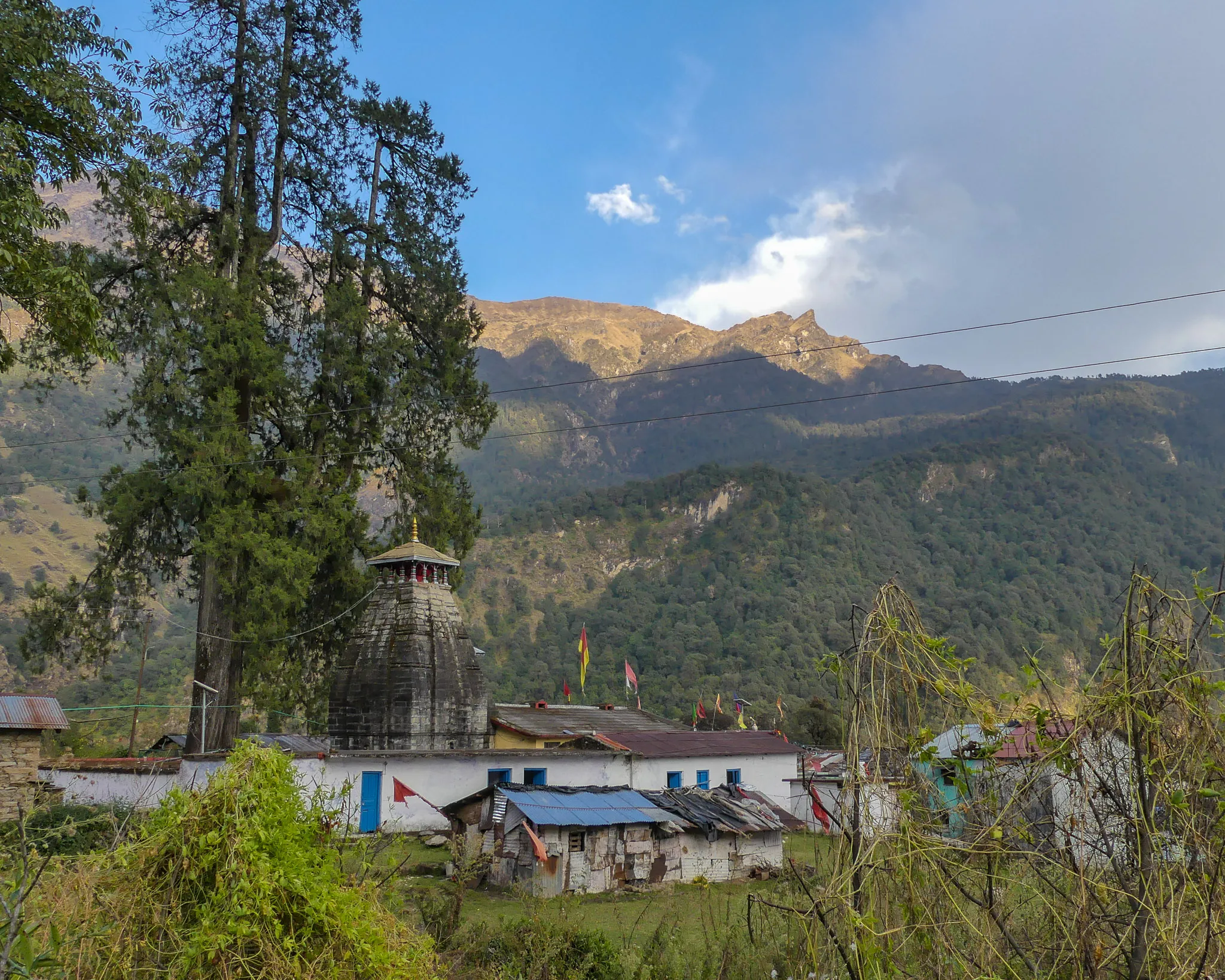
- Darshan at the ridge-top shrine of Bhagwan Kartikeya, the elder son of Bhagwan Shiva and Mata Parvati, on Kraunch Parvat
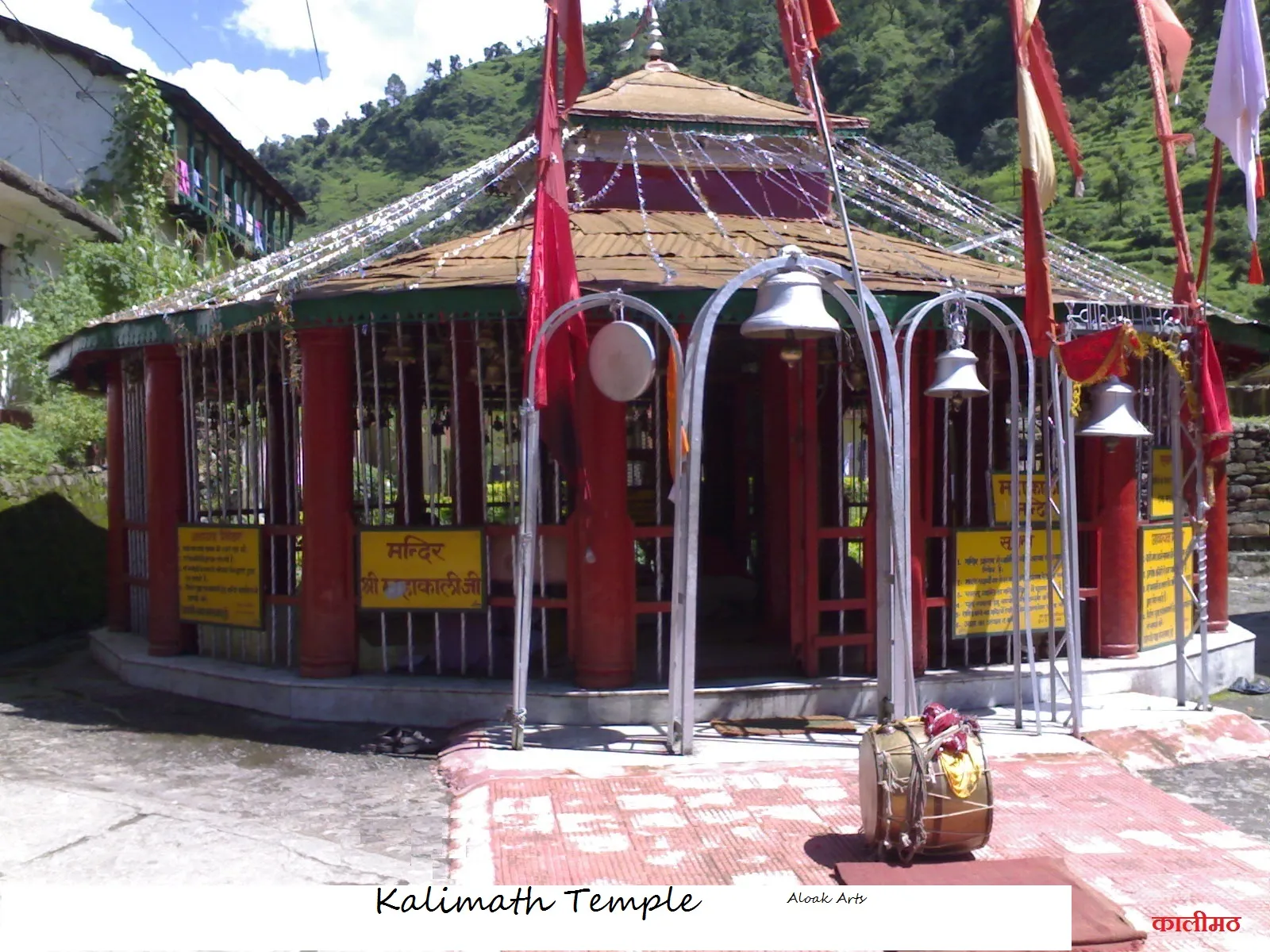
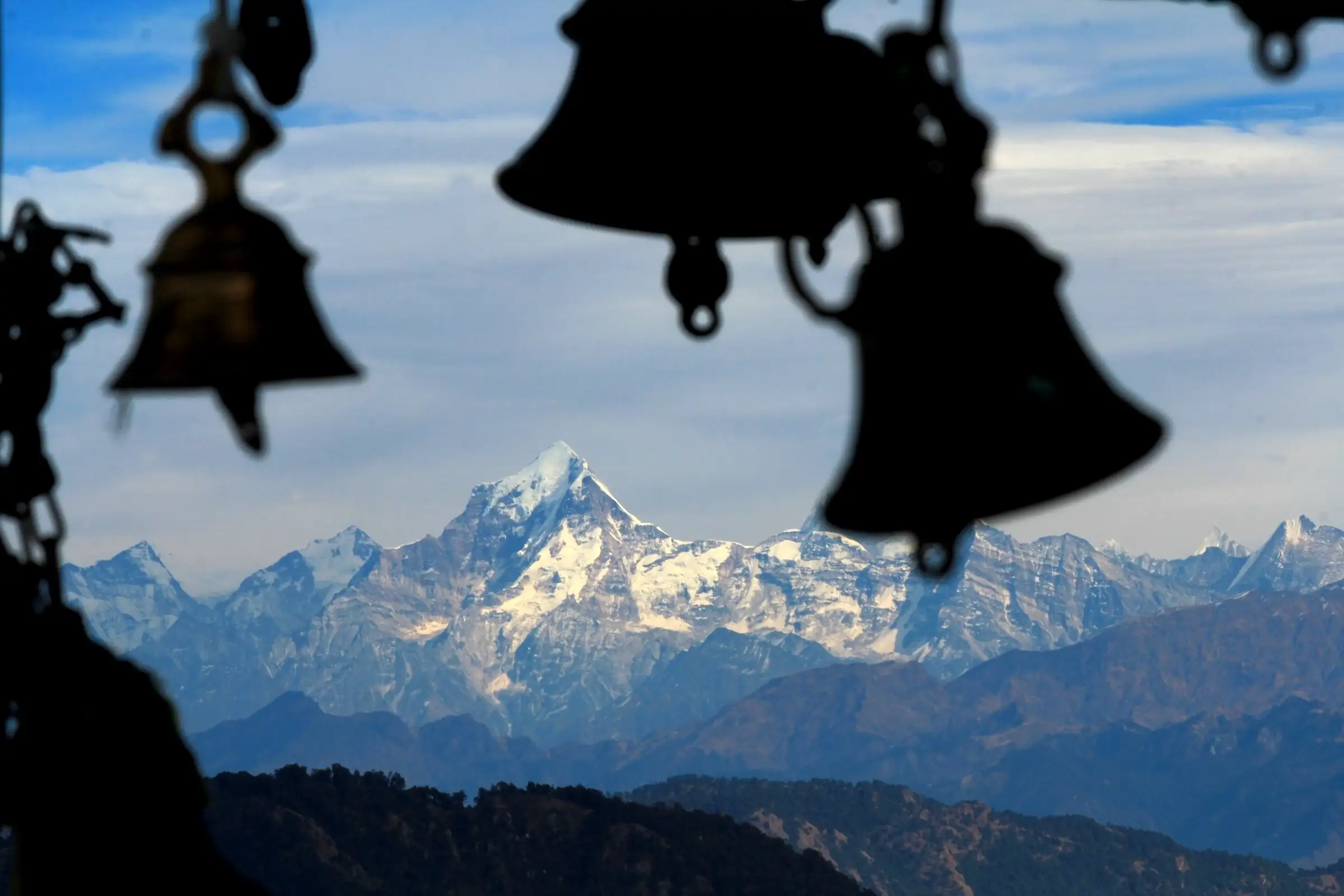
- Hundreds of bells offered by devotees ringing in the wind around the temple
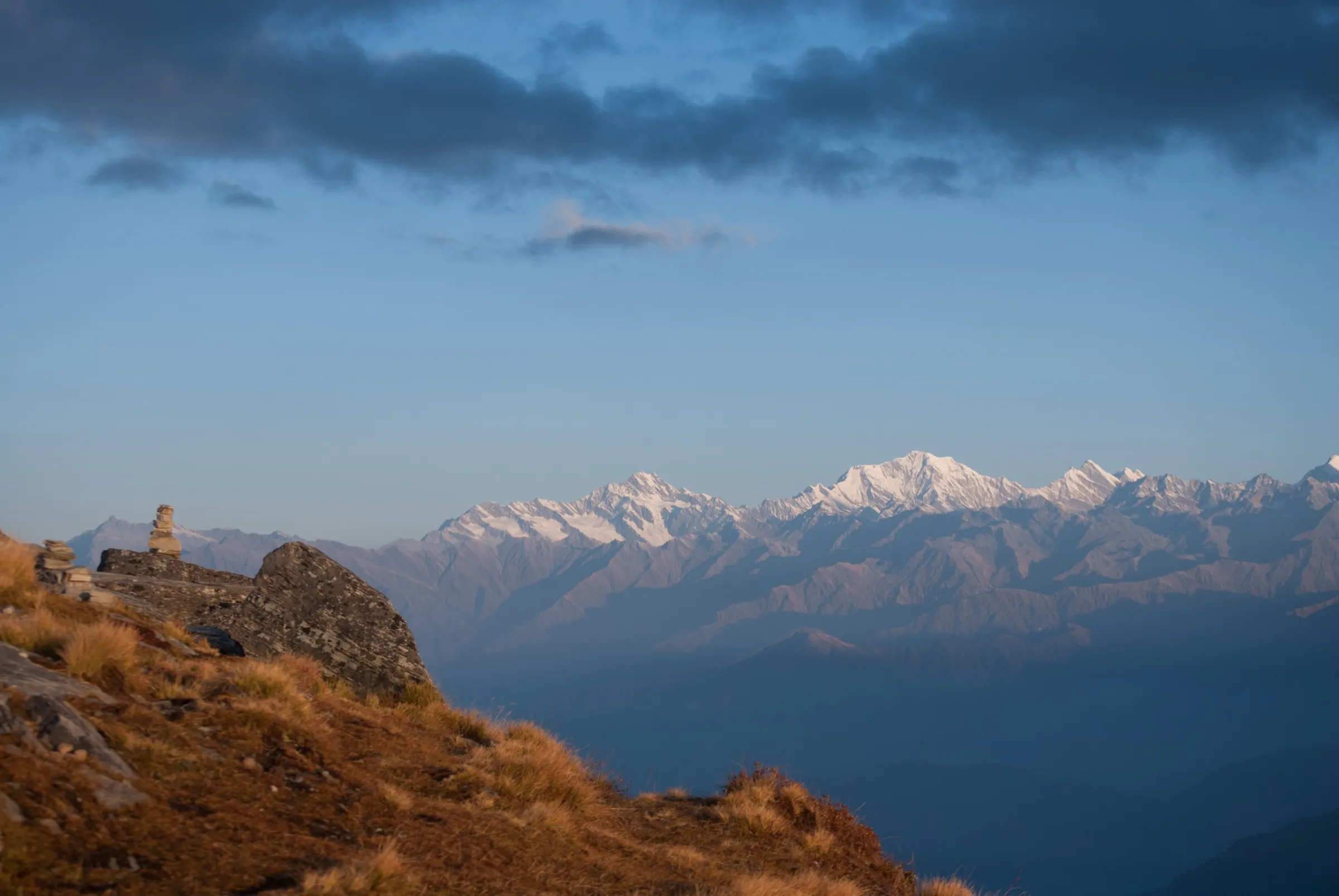
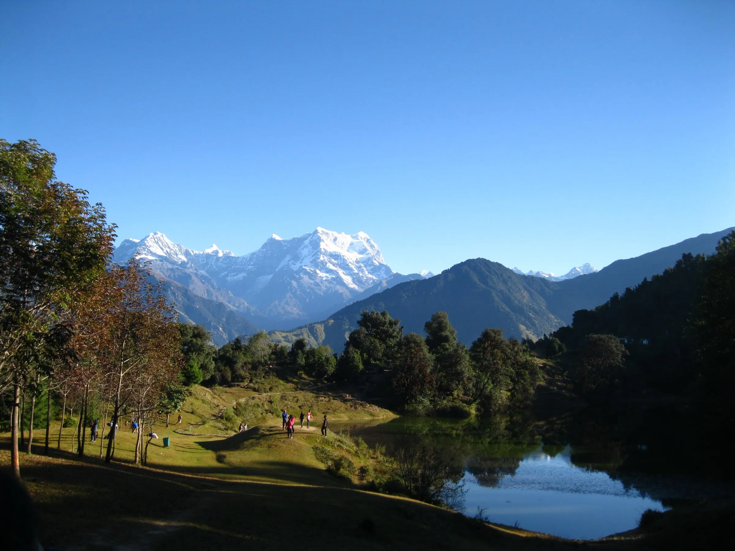
- Sunrise or sunset over a wide Garhwal Himalaya panorama — Chaukhamba, Kedarnath Dome, Neelkanth, Trishul, Nanda Devi and Dunagiri on clear days
- Oak and rhododendron forest of the Agastyamuni range, red with rhododendron bloom in March–April and good for birdwatching
- Special puja on Kartik Purnima and Skanda Shashti
Risks
- The final kilometre is a steep, narrow stone staircase; take it slowly, especially in the dark or when wet.
- December to February can bring snow and ice on the path; one operator rates winter as suitable only for experienced walkers.
- July–August monsoon rain makes the path muddy and slippery and causes landslides on the Rudraprayag roads; Indiahikes, Himalaya Shelter and Himalayan Dream Treks all advise avoiding these months, though none says the trek is closed.
- Shared cabs leave Kanakchauri only until about 8:30–9 am; after that you need a private cab to Pokhari road.
Know before you go
Questions
How long is the Kartik Swami trek?
About 3–3.5 km each way from Kanakchauri village, so 6–7 km in all. Indiahikes splits it into 1 km to a valley viewpoint, 1.5 km of forest trail and about 1 km of stone steps to the temple. The climb takes around 2 hours.
What is the altitude of Kartik Swami Temple?
Most guides print 3,050 m (10,000 ft), which is the height shown on this page. Satellite elevation data (SRTM and ASTER) puts the temple ridge lower, at about 2,550 m, and Himalayan Dream Treks' own trek page gives 2,540 m, so treat the height as approximate. Either way it is a short walk with no altitude-sickness concern for most people.
Is the Kartik Swami trek suitable for beginners and families?
Yes. Operators rate it easy to easy-moderate and Indiahikes calls it a perfect do-it-yourself trek, since the temple path is marked and used by devotees. Only the last steep flight of steps needs some stamina.
What is the best time to visit?
Indiahikes says the trek is accessible through the year. March to June suits pleasant weather and rhododendron bloom (March–April), and September to November gives the clearest mountain views. December to February brings snow. July and August are best avoided, as monsoon rain makes the path slippery.
Is there an entry fee or permit?
There is a ticket counter at the trail gate. Indiahikes reported ₹50 for Indian visitors and ₹200 for a camera, but we could not confirm the current fee from an official source, so check at the gate.
When does the temple open, and should I go for sunrise?
For sunrise, start from Kanakchauri by about 4 am and you will reach the ridge by about 6 am. Indiahikes notes the sanctum opens only after about 7:30 am, so wait for darshan after sunrise.
In an emergency
Save these numbers before you lose signal. Tap to call.
- 112All emergenciesIndia’s single emergency number — works in every state
- 108Ambulance
- 1077District disaster control room
You are in
District: RudraprayagUttarakhand
- Nearest hospital
- Rudraprayag district hospital for serious cases (about 40 km); confirm nearer first-aid centres locally
- Last ATM
- Rudraprayag (about 40 km); carry cash for the homestay, taxi and entry ticket
- Phone network
- Not confirmed for the trail; expect signal in Rudraprayag and patchy coverage in Kanakchauri and on the ridge.
Before you set off
- Tell someone your route and when you will be back.
- Carry a charged phone and a power bank.
- Download an offline map of the route.
- Turn back if the weather turns bad — the mountain will wait.
Questions about Kartik Swami
No questions yet. Ask something and trekkers who have done it can answer.
Share your trek photo with #TreksAndTrails
I trekked this
Did Kartik Swami look different from this page? Tell us what changed and we will check it.
Where this comes from
Sources
Last reviewed:
- A Complete Guide to the Kartik Swami Temple Trek — Indiahikes
- Kartikswami Temple Trek — Himalaya Shelter
- Kartik Swami Temple — Plan Your Journey — Himalayan Dream Treks
- Chopta Kartik Swami — Himalayan Dream Treks
- Kartikswami Same Day Guided Trekking Tour from Kanakchauri — eUttaranchal
- Rudraprayag — Kartik Swami Temple — Wikipedia
- कार्तिक स्वामी — Hindi Wikipedia
- SRTM 30 m elevation at Kartik Swami Temple and the Kanakchauri trail gate — NASA SRTM 30 m (via OpenTopoData)
- ASTER GDEM 30 m elevation at Kartik Swami Temple and the Kanakchauri trail gate — NASA/METI ASTER GDEM (via OpenTopoData)
Photos: Sumita Roy Dutta, CC BY-SA 4.0; KUMAR2912, CC BY-SA 4.0; Shubham Butola, CC BY-SA 4.0; Sumita Roy Dutta, CC BY-SA 3.0