Anusuya Devi Trek
Chamoli, Uttarakhand
Opens without signal on this phone, with the map file and checklist. Saved for offline →
- Max altitude
- 2,000 m
- Days
- 1 day
- Distance
- 14 km
- Difficulty
- Easy
A well-marked stone-paved pilgrim path with about 500 m of climbing to the temple; the only demand is length, about 14 km and 9-10 hours on foot if you go on to the Atri Muni cave and back in one day.
Photos
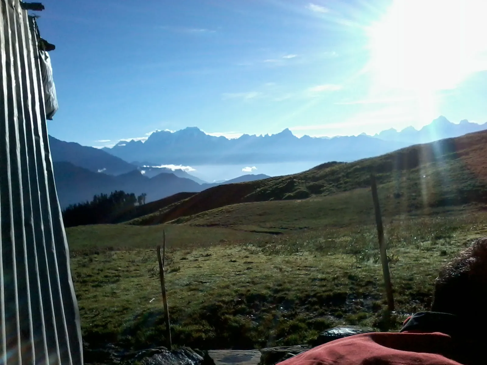
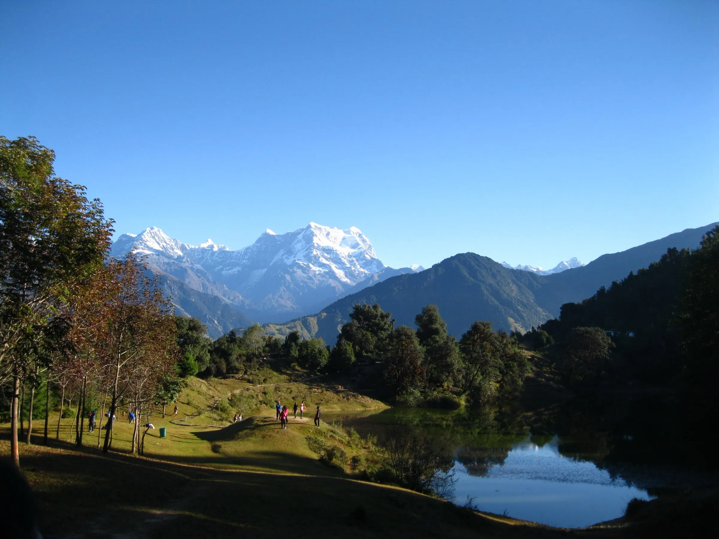
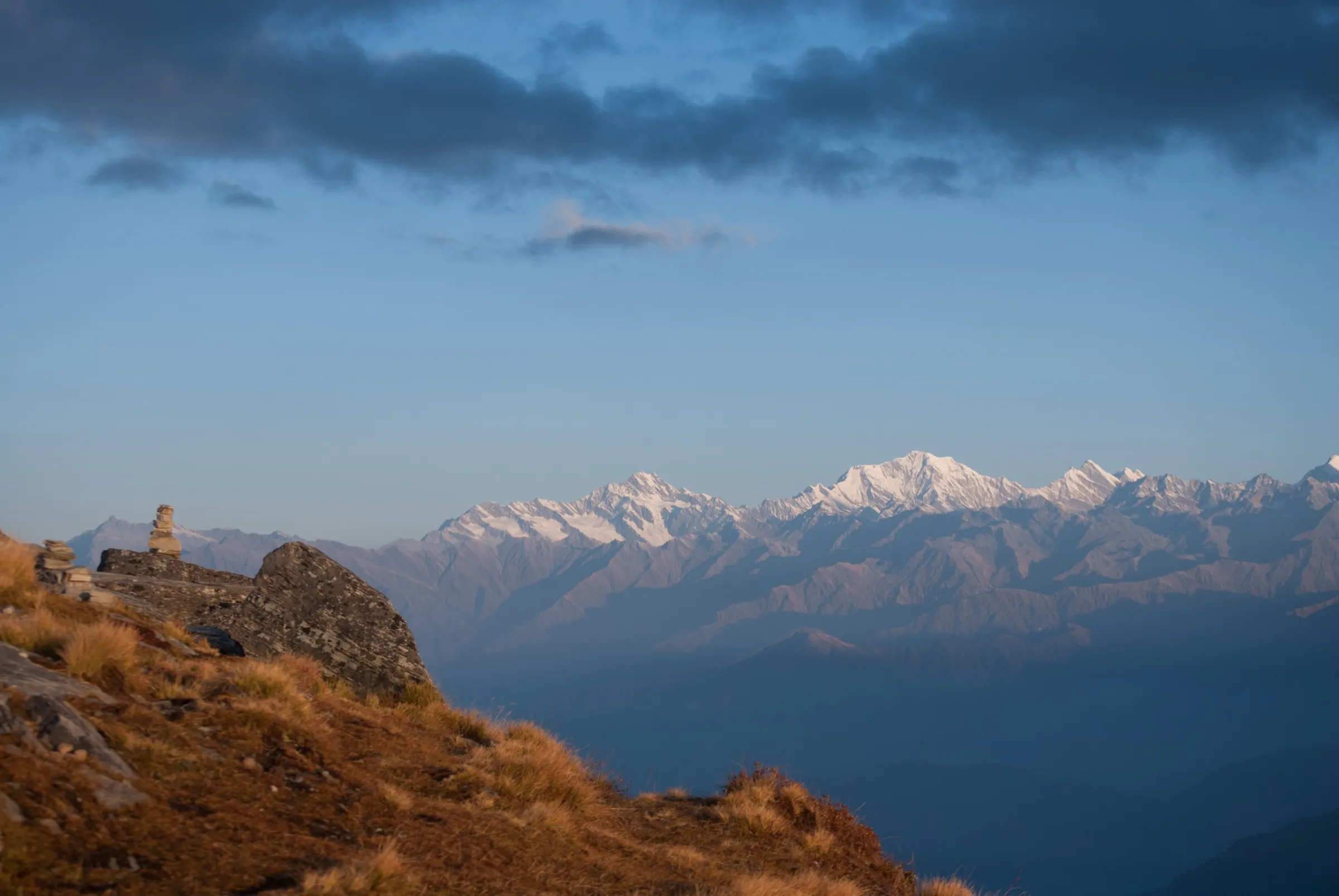
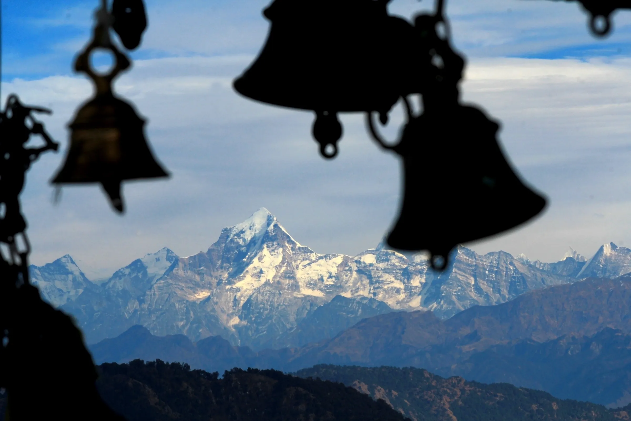
On the trail
The route
Day by day
Day 1 · highest point
Mandal → Mandal (via Anusuya Devi Temple and Atri Muni cave)
1,500 m → 2,000 m → 1,500 m
Ups and downs
Altitude profile
Where it is
Map
Trailhead and high point only — not a recorded track. Use it with a proper map.
Weather
Next 5 days on the trail
Live forecast for the trailhead and the high point. Mountain weather changes fast — check again on the morning you start.
Trailhead · Mandal
at 1,500 mLoading forecast…
High point · Mata Anusuya Devi Temple
at 2,000 mLoading forecast…
Each day: high / low °C · rain mm and chance · snow cm · wind km/h
Weather data: Open-Meteo.comModel forecast, not an official warning. For alerts follow IMD and the local administration.
Plan the trip
How to reach
- Trailhead
- Mandal (nearest town: Gopeshwar)
- Nearest railway
- Rishikesh (Yog Nagari Rishikesh)
- Nearest airport
- Jolly Grant Airport, Dehradun
- By road
- Rishikesh (about 206 km to Gopeshwar, 7-8 hours; one direct bus leaves Rishikesh bus stand around 3:30 am, plus shared jeeps); Gopeshwar (13 km to Mandal by shared jeep or taxi)
- Drive
- About 8 h from Rishikesh
Plan the trip
Permits and fees
We could not confirm the current permit rules and fees from an official source. Check with the local forest department or tourism office before you go.
Plan the trip
Cost
Self-guided
₹2,500–6,000
With an operator
₹17,000–17,850
Per person. Guided: only one operator publishes a standalone price: Himalaya Shelter, ₹17,000 + 5% GST for 3 days ex-Dehradun (two drive days plus the trek day), checked October 2026. Self-guided, ex-Rishikesh, is our estimate: bus or shared jeep Rishikesh–Gopeshwar and back, a jeep to Mandal, one or two lodge nights in Mandal or Gopeshwar, and meals. No guide is needed on this clearly marked path.
Gear
Top picks for this trek
The gear that matters most on this route, chosen from its altitude, season and risks.
 Ad · affiliate link
 Ad · affiliate link
 Ad · affiliate link
 Ad · affiliate link
 Ad · affiliate link
 Ad · affiliate link
 Ad · affiliate link
 Ad · affiliate link
Store buttons open a search on that store, not a product we picked. As an Amazon Associate we earn from qualifying purchases. Photos show the kind of item, not a specific product. Affiliate disclosure
Packing checklist
Matched to this trek: altitude, season, days and the risks on the route.
Packed 0 of 31
Snow on the trail in Dec–Feb: microspikes, gaiters and a warm layer are not optional.
Tick each item as it goes in the bag.
Know before you go
Good to know
- Mobile network
- Not confirmed by our sources. Gopeshwar, the district headquarters, has mobile coverage; expect gaps in the forest above Mandal.
- Last ATM
- Gopeshwar (district headquarters, 13 km before Mandal)
- Nearest hospital
- District Hospital, Gopeshwar; AIIMS Rishikesh for serious cases
- Water
- Plenty of water points and taps along the path, including piped water near the Ganesh shrine below the temple. No food on the trail; a small tea shack stands near the temple.
Highlights
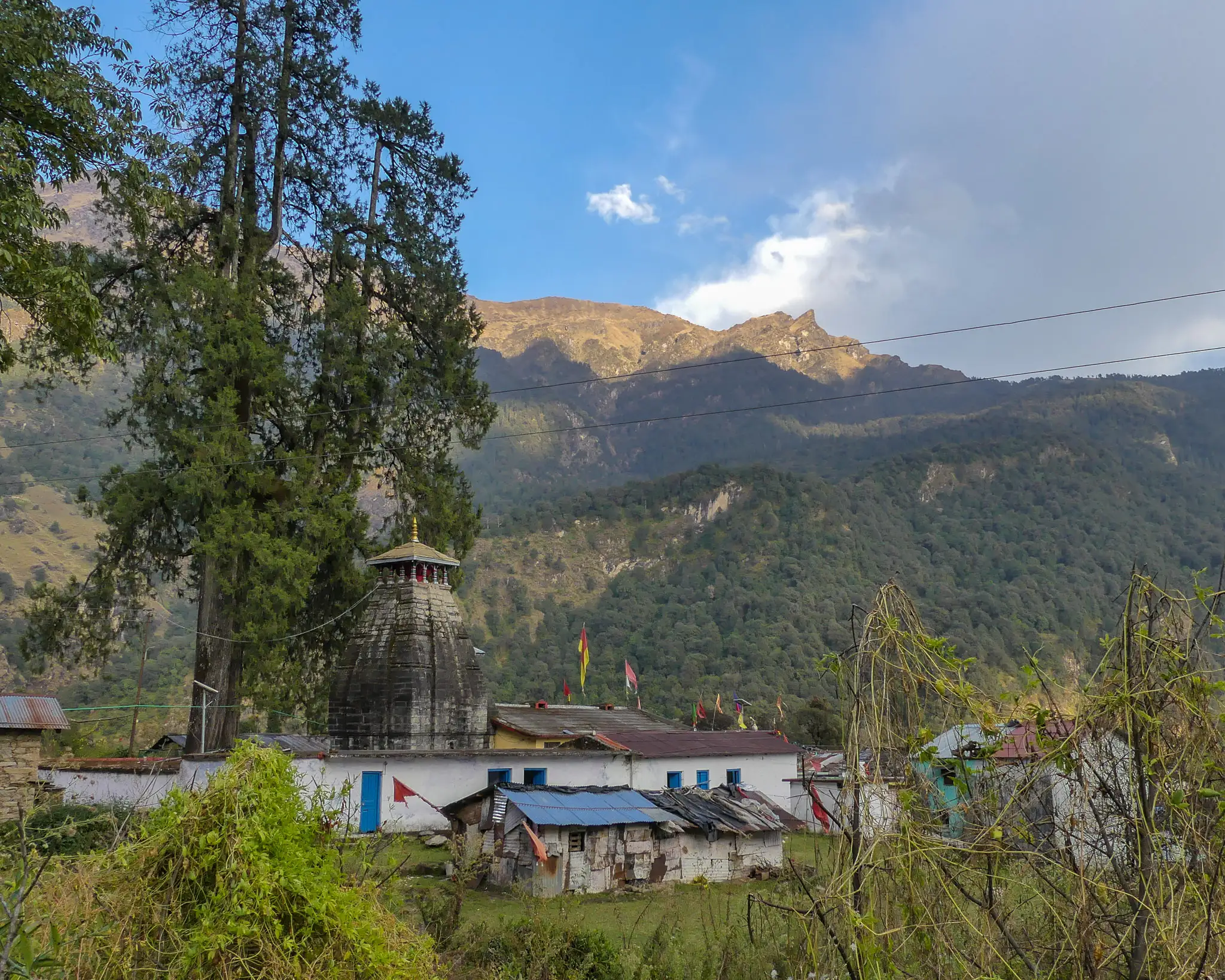
- Darshan of Mata Anusuya, wife of Atri Muni, in an old stone temple in a clearing ringed by forest; the katha of how she turned Brahma, Vishnu and Mahesh into infants is honoured each December at the Dattatreya Jayanti mela
- The Atri Muni cave about 2 km beyond the temple, beside the Amrit Ganga waterfall, where devotees make a parikrama of the falling water
- The Mandal rock inscription, about 500 m below the temple, now under an ASI shed with an information plaque
- Oak, rhododendron and kafal forest of the Kedarnath Wildlife Sanctuary along the Amrit Ganga (Balkhila) river, with ripe kafal fruit in May
Risks
- July to September monsoon rain makes the path slushy and slippery and brings landslide and roadblock risk; operators advise against these months.
- December to March brings frost and snow that can make the path impassable at times, although devotees still walk up for the December mela.
- This is forest inside a wildlife sanctuary with few people outside festival days; a trip report records a local warning about a bear on the temple path. Start early and be back by dark.
- There is no food on the trail; carry your own.
Know before you go
Questions
Do I need a permit for the Anusuya Devi trek?
Indiahikes says no permit is needed. The path runs through the Kedarnath Wildlife Sanctuary, and we found no official notice either way, so check with the forest office in Gopeshwar before you go.
How long is the trek and can it be done in one day?
Mandal to the temple is about 5-6 km one way (3-5 hours up), and the Atri Muni cave is about 2 km further (about 1.5 hours). Starting at 7 am you can see both and be back in Mandal by about 5 pm. Pilgrims can also stay overnight at the temple committee guest house at Anusuya village.
Is it suitable for beginners and can I go alone?
Yes. It is an easy to moderate, clearly marked temple path, and Indiahikes calls it a perfect do-it-yourself trek that needs no guide. Carry food and start early.
When is the best time to visit?
The path is used all year. October-November and March-June are the most comfortable; July-September monsoon is best avoided, and December-March is cold with snow and frost at times. The Dattatreya Jayanti mela is held each December.
Where can I stay?
There are lodges in Mandal next to the trailhead, more choice in Gopeshwar 13 km away, and limited rooms at Anusuya village beside the temple.
In an emergency
Save these numbers before you lose signal. Tap to call.
- 112All emergenciesIndia’s single emergency number — works in every state
- 108Ambulance
- 1077District disaster control room
You are in
District: ChamoliUttarakhand
- Nearest hospital
- District Hospital, Gopeshwar; AIIMS Rishikesh for serious cases
- Last ATM
- Gopeshwar (district headquarters, 13 km before Mandal)
- Phone network
- Not confirmed by our sources. Gopeshwar, the district headquarters, has mobile coverage; expect gaps in the forest above Mandal.
Before you set off
- Tell someone your route and when you will be back.
- Carry a charged phone and a power bank.
- Download an offline map of the route.
- Turn back if the weather turns bad — the mountain will wait.
Questions about Anusuya Devi
No questions yet. Ask something and trekkers who have done it can answer.
Share your trek photo with #TreksAndTrails
I trekked this
Did Anusuya Devi look different from this page? Tell us what changed and we will check it.
Where this comes from
Sources
Last reviewed:
- A Complete Guide to the Anusuya Devi Temple Trek — Indiahikes
- Anusuya Devi Temple and Atri Muni Ashram — Himalaya Shelter
- Anasuya Mata Shaktipeeth Temple, Chamoli — Shubh Panchang
- Trek to Anusuya Mata & Rudranath — India Travelogue
Photos: Mike Prince from Bangalore, India, CC BY 2.0; Mike Prince from Bangalore, India, CC BY 2.0; Mike Prince from Bangalore, India, CC BY 2.0; Sonu.bisht007, CC BY-SA 4.0