Rudranath Trek
Chamoli, Uttarakhand
Opens without signal on this phone, with the map file and checklist. Saved for offline →
- Max altitude
- 3,900 m
- Days
- 5 days
- Distance
- 35 km
- Difficulty
- Difficult
The toughest of the Panch Kedar walks: about 1,300 m of climbing from Sagar to Lyuti Bugyal, then a long day of 18-20 km over Panar Bugyal and the Pitradhar ridge at about 3,900 m to the temple and back, with few facilities and easy-to-lose trail in fog above Panar.
Photos
On the trail
The route
Day by day
Day 1
Rishikesh → Sagar (via Rudraprayag, Chamoli and Gopeshwar)
370 m → 1,700 m
Day 2
Sagar → Lyuti Bugyal (via Pung Bugyal)
1,700 m → 3,000 m
Day 3 · highest point
Lyuti Bugyal → Lyuti Bugyal (via Panar Bugyal, Pitradhar and Rudranath Temple)
3,000 m → 3,900 m → 3,000 m
Day 4
Lyuti Bugyal → Sagar (drive to Gopeshwar)
3,000 m → 1,700 m
Day 5
Gopeshwar → Rishikesh
1,500 m → 370 m
Ups and downs
Altitude profile
Where it is
Map
Trailhead and high point only — not a recorded track. Use it with a proper map.
Weather
Next 5 days on the trail
Live forecast for the trailhead and the high point. Mountain weather changes fast — check again on the morning you start.
Trailhead · Sagar
at 1,700 mLoading forecast…
High point · Pitradhar ridge
at 3,900 mLoading forecast…
Each day: high / low °C · rain mm and chance · snow cm · wind km/h
Weather data: Open-Meteo.comModel forecast, not an official warning. For alerts follow IMD and the local administration.
Plan the trip
How to reach
- Trailhead
- Sagar (nearest town: Gopeshwar)
- Nearest railway
- Yog Nagari Rishikesh
- Nearest airport
- Jolly Grant Airport, Dehradun
- By road
- Rishikesh (about 217 km via Devprayag, Rudraprayag, Karnaprayag, Chamoli and Gopeshwar; Sagar is about 5 km beyond Gopeshwar)
- Drive
- About 9 h from Rishikesh
Plan the trip
Permits and fees
| Permit | Issued by | Fee (Indian) | Fee (foreign) | How to get it |
|---|---|---|---|---|
| Shri Rudranath Dham trek permit (Sagar route) | Kedarnath Wildlife Division, Uttarakhand Forest Department (DFO, Gopeshwar) | ₹200 | ₹800 | Book online on the Kedarnath Wildlife Division portal (kedarnathwildlife.uk.gov.in), entering each trekker's ID number, and carry the original ID; forest staff check it at Sagar. The 2025 portal also listed ₹50 for children 12-18 and ₹100 for senior citizens. No trekker may start after 2:00 pm. The portal was offline when checked on 15 Oct 2026, so confirm at the Sagar forest check post. |
Plan the trip
Cost
Self-guided
₹6,000–11,000
With an operator
₹12,500–13,200
Per person, ex-Rishikesh. Guided prices published for 2026: Himalayan Dream Treks ₹12,500 + 5% GST (5 days from Rishikesh/Haridwar); Adventure Club Pune ₹12,499 (5 days Rishikesh-Rudranath-Rishikesh, forest permits included). Self-guided is an estimate: bus or shared jeep Rishikesh-Gopeshwar both ways, a night in Gopeshwar or a Sagar homestay, two nights in huts or tents on the trail (about ₹400-1,500 a night), meals at trail shacks, the ₹200 forest permit, and a local guide or porter from Sagar.
Gear
Top picks for this trek
The gear that matters most on this route, chosen from its altitude, season and risks.
 Ad · affiliate link
 Ad · affiliate link
 Ad · affiliate link
 Ad · affiliate link
 Ad · affiliate link
 Ad · affiliate link
 Ad · affiliate link
 Ad · affiliate link
Store buttons open a search on that store, not a product we picked. As an Amazon Associate we earn from qualifying purchases. Photos show the kind of item, not a specific product. Affiliate disclosure
Packing checklist
Matched to this trek: altitude, season, days and the risks on the route.
Packed 0 of 34
Nights near 3,900 m can drop close to freezing even in summer. Pack one more warm layer than you think.
Tick each item as it goes in the bag.
Know before you go
Good to know
- Mobile network
- Patchy: signal drops after Lyuti Bugyal; BSNL and Jio work only intermittently higher up and near the temple. Gopeshwar has full coverage.
- Last ATM
- Gopeshwar (none at Sagar or on the trail); carry cash for huts and tea shacks.
- Nearest hospital
- District Hospital, Gopeshwar for first care; AIIMS Rishikesh for serious cases. There is no evacuation infrastructure beyond Panar Bugyal.
- Water
- Seasonal streams near Pung Bugyal and water at Lyuti Bugyal; sources are scarce between Lyuti/Panar and Pitradhar, so carry 2-3 litres on the temple day. Treat or boil all water.
Highlights
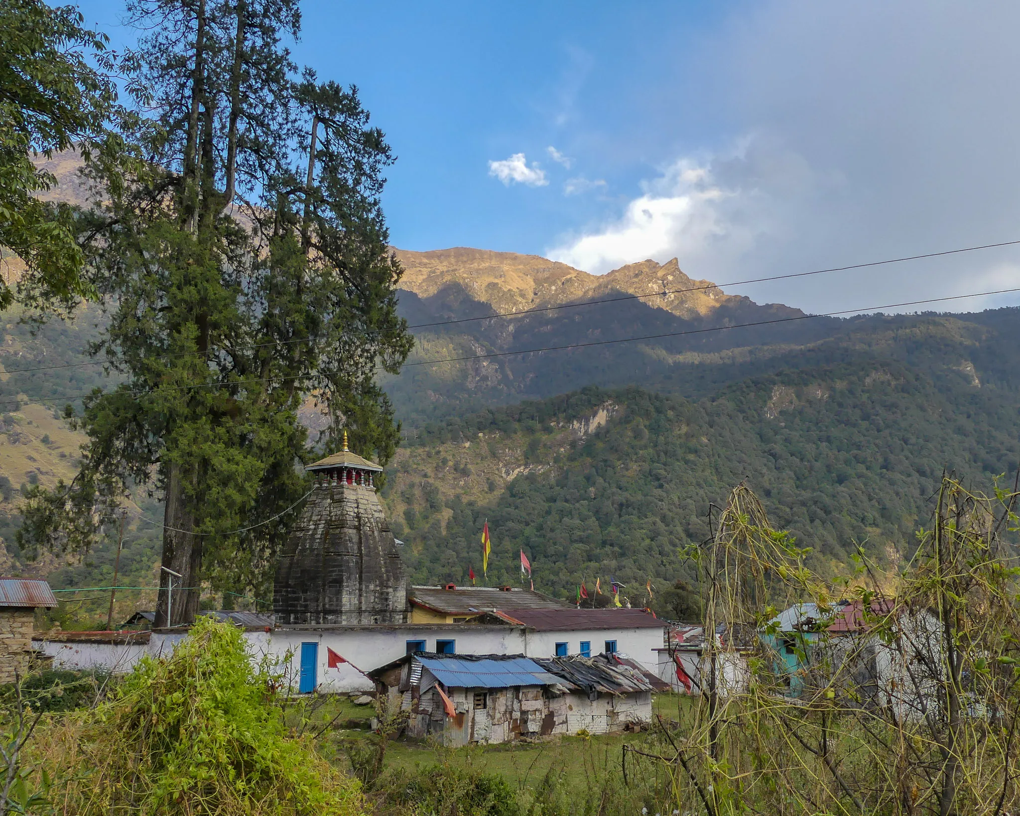
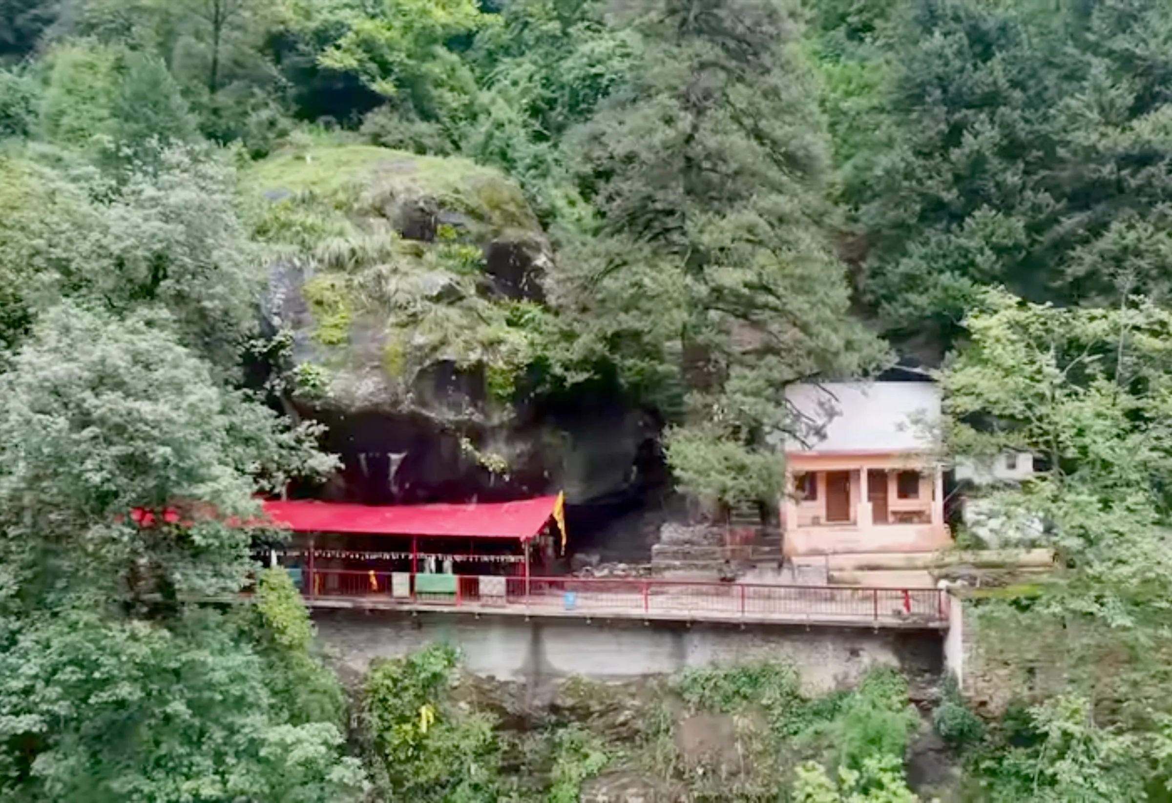
- Darshan of Neelkanth Mahadev, the face (mukh) of Bhagwan Shiva, a swayambhu rock face in a natural cave temple — the Fourth Kedar of the Panch Kedar
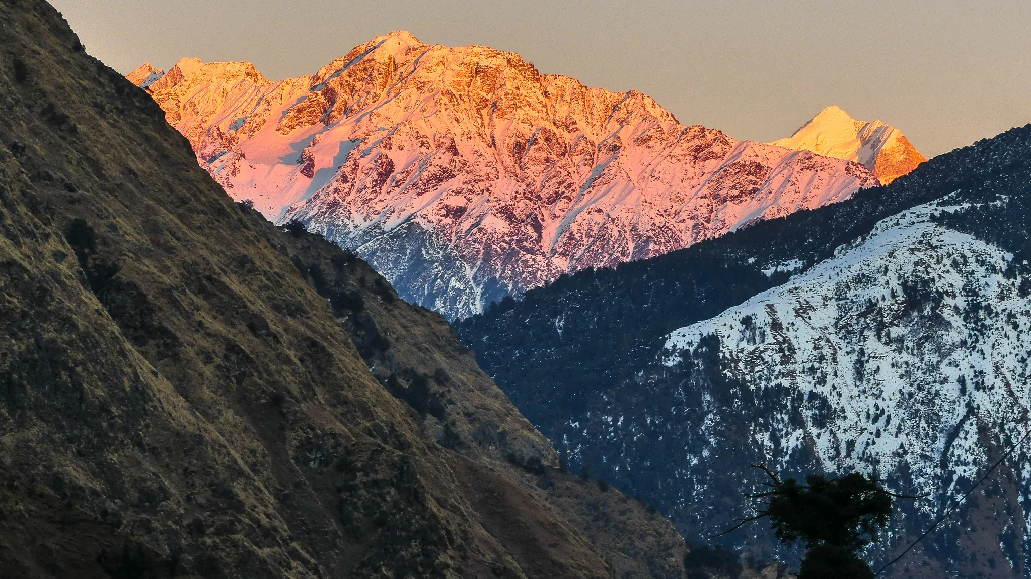
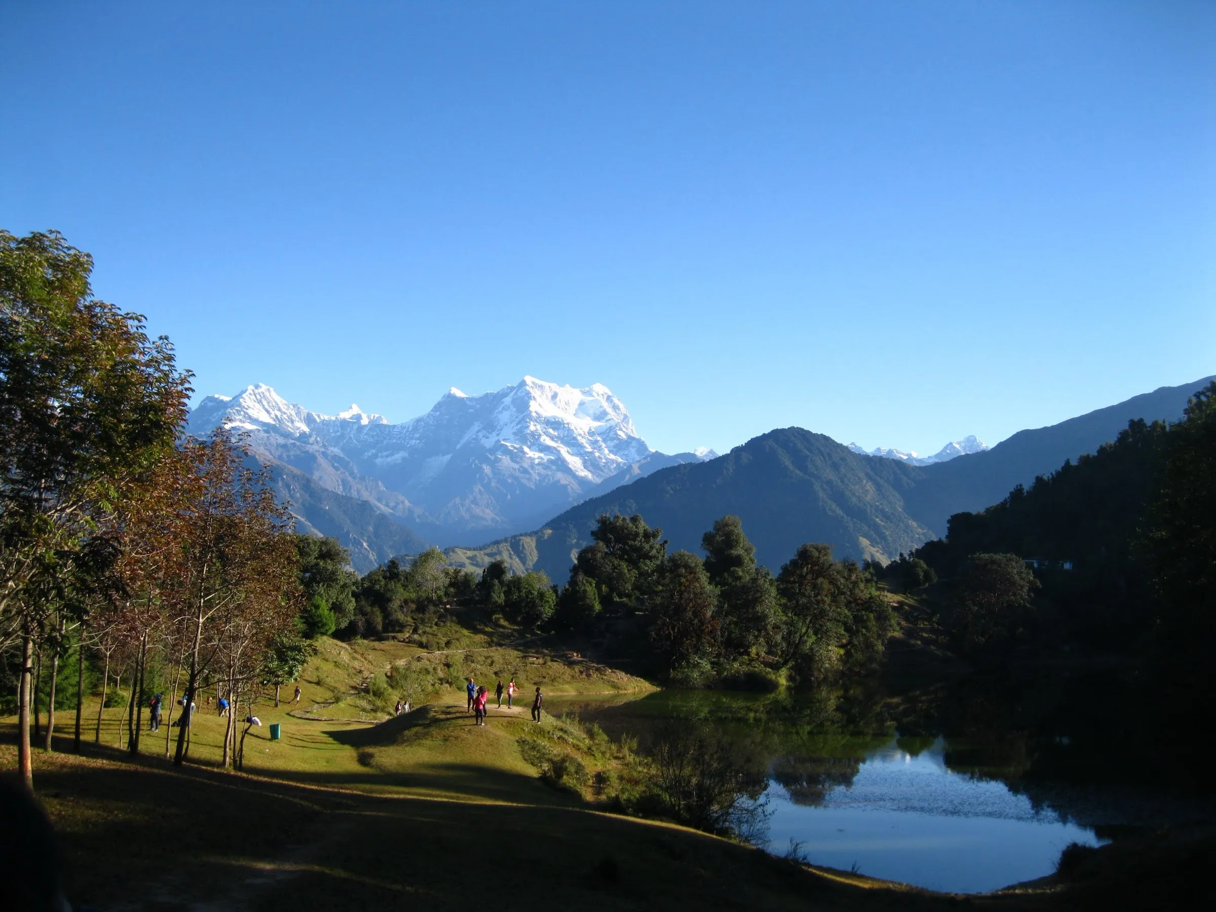
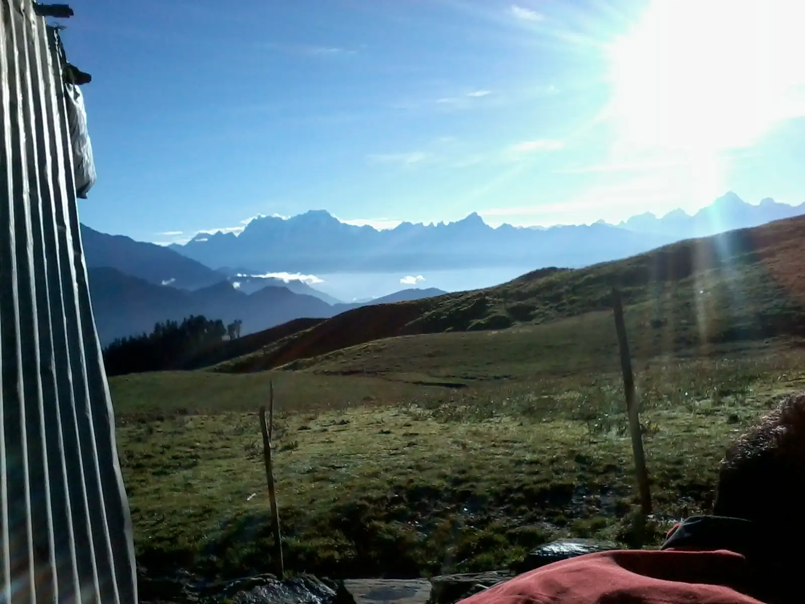
- Panar Bugyal, one of the highest alpine meadows in the Himalaya, with Nanda Devi, Trishul, Nanda Ghunti and Hathi Parvat on the horizon
- The Pitradhar ridge, where pilgrims set down small stones in memory of their ancestors
- The Vaitarani stream behind the temple and the four sacred kunds — Surya, Chandra, Tara and Manas Kund — where many pilgrims offer pind daan
- Oak and rhododendron forest from Sagar to Pung and Lyuti Bugyal
Risks
- The temple day is long (18-20 km, 10-12 hours) and crosses Pitradhar at about 3,900 m; altitude sickness is possible, so turn back early if headache or breathlessness worsen.
- Above Panar Bugyal the trail is easy to lose in fog; hire a local guide at Sagar.
- July-September monsoon brings heavy rain, landslides and swollen streams; operators do not recommend the trek then.
- No trekker may start from Sagar after 2:00 pm (forest department rule); facilities beyond Panar are very basic and there is no evacuation infrastructure.
Know before you go
Questions
Is Rudranath the toughest of the Panch Kedar treks?
Yes. It is the longest climb of the five, about 17-21 km one way from Sagar depending on the route, crossing the Pitradhar ridge at about 3,900 m, with the fewest facilities. Most people take two days up and one long day down, or base at Lyuti Bugyal and do the temple as a long day trip.
Do I need a permit for the Rudranath trek?
Yes. The trail lies in the Kedarnath Wildlife Division, which issues a trek permit online: ₹200 for an Indian adult and ₹800 for a foreign national on the 2025 portal. Carry the original ID you booked with. Entry from Sagar closes at 2:00 pm. The Char Dham registration does not cover Rudranath.
When is Rudranath temple open?
From mid/late May to mid-October. In 2026 the doors opened on 18 May; operators report 17 October 2026 as the closing date (in 2025 the doors also closed on 17 October). In winter Bhagwan Rudranath is worshipped at Gopinath Temple, Gopeshwar. The best trekking windows are mid-May to June and mid-September to mid-October.
How many days does the Rudranath trek take?
Four to five days from Rishikesh. A common plan is: drive to Sagar, trek to Lyuti Bugyal (about 8 km), go to the temple and back to Lyuti (about 18-20 km), descend to Sagar, and drive back.
Can beginners do the Rudranath trek?
Fit beginners can, with preparation and a guide, but it is rated difficult: the climb to Lyuti is steep and the temple day is very long. People with heart, knee or breathing problems should not attempt it.
In an emergency
Save these numbers before you lose signal. Tap to call.
- 112All emergenciesIndia’s single emergency number — works in every state
- 108Ambulance
- 1077District disaster control room
You are in
District: ChamoliUttarakhand
- Nearest hospital
- District Hospital, Gopeshwar for first care; AIIMS Rishikesh for serious cases. There is no evacuation infrastructure beyond Panar Bugyal.
- Last ATM
- Gopeshwar (none at Sagar or on the trail); carry cash for huts and tea shacks.
- Phone network
- Patchy: signal drops after Lyuti Bugyal; BSNL and Jio work only intermittently higher up and near the temple. Gopeshwar has full coverage.
Before you set off
- Tell someone your route and when you will be back.
- Carry a charged phone and a power bank.
- Download an offline map of the route.
- Turn back if the weather turns bad — the mountain will wait.
Questions about Rudranath
No questions yet. Ask something and trekkers who have done it can answer.
Share your trek photo with #TreksAndTrails
I trekked this
Did Rudranath look different from this page? Tell us what changed and we will check it.
Where this comes from
Sources
Last reviewed:
- Sagar to Shri Rudranath Dham (trek permit) — Kedarnath Wildlife Division, Uttarakhand Forest Department (official)
- Kedarnath Wildlife Division – Trek & Permit FAQ (last updated 21 April 2025) — Kedarnath Wildlife Division, Uttarakhand Forest Department (official)
- Rudranath Trek — Himalayan Dream Treks
- Rudranath Trek 2026: Route, Itinerary & Permit Guide — StayVista
- Rudranath Trek — Himalaya Shelter
- Rudranath Tour from Pune & Mumbai | 2026 Yatra — Adventure Club Pune
- Rudranath — Fourth Kedar — panchkedar.in
- Rudranath — Wikipedia
Photos: Cvashisth, CC BY-SA 3.0; Ms Sarah Welch, CC0; AL3XMERCER12, CC BY-SA 4.0; Saurabh Sharma, CC BY-SA 4.0