Kalpeshwar Trek
Chamoli, Uttarakhand
Opens without signal on this phone, with the map file and checklist. Saved for offline →
- Max altitude
- 2,200 m
- Days
- 3 days
- Distance
- 2 km
- Difficulty
- Easy
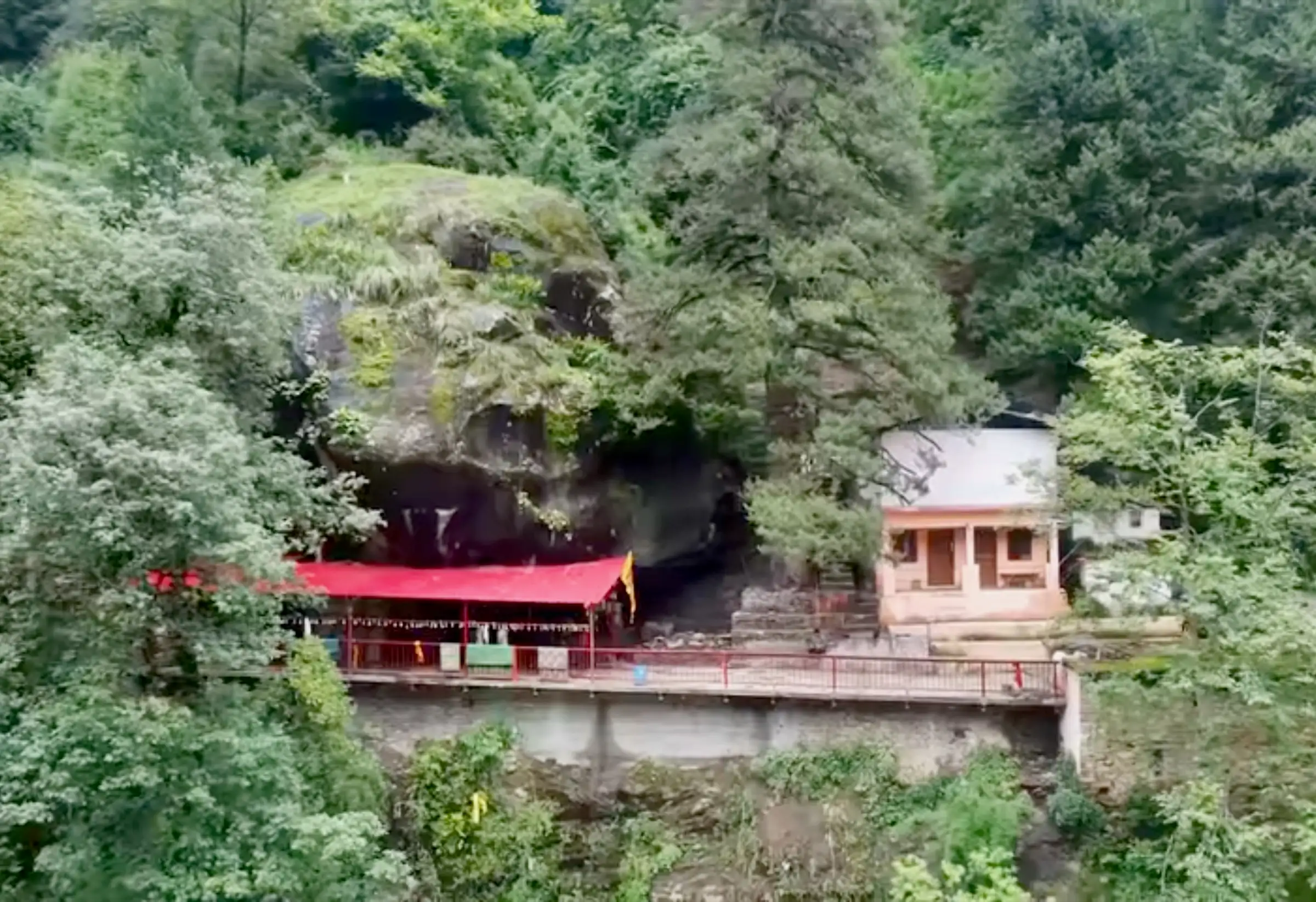
A short walk of about 1 km each way from Devgram through fields and along the Kalpganga, with a suspension bridge and a flight of steps up to the cave temple; about 180 m of gentle climbing. The long part is the mountain drive to Helang and up the Urgam valley.
Photos
On the trail
The route
Day by day
Day 1
Rishikesh → Devgram (drive via Helang)
340 m → 2,020 m
Day 2 · highest point
Devgram → Devgram (darshan at Kalpeshwar and back)
2,020 m → 2,200 m → 2,020 m
Day 3
Devgram → Rishikesh
2,020 m → 340 m
Ups and downs
Altitude profile
Where it is
Map
Trailhead and high point only — not a recorded track. Use it with a proper map.
Weather
Next 5 days on the trail
Live forecast for the trailhead and the high point. Mountain weather changes fast — check again on the morning you start.
Trailhead · Devgram, Urgam village
at 2,020 mLoading forecast…
High point · Kalpeshwar cave temple
at 2,200 mLoading forecast…
Each day: high / low °C · rain mm and chance · snow cm · wind km/h
Weather data: Open-Meteo.comModel forecast, not an official warning. For alerts follow IMD and the local administration.
Plan the trip
How to reach
- Trailhead
- Devgram, Urgam village (nearest town: Joshimath (Jyotirmath))
- Nearest railway
- Yog Nagari Rishikesh (about 250 km)
- Nearest airport
- Jolly Grant Airport, Dehradun (about 265 km)
- By road
- Rishikesh to Helang on the Rishikesh-Badrinath highway (about 241 km, 8-9 hours), then about 1 hour by shared jeep up the Urgam valley to Devgram; Before the road reached Devgram, pilgrims walked about 12 km from Helang to Urgam on the old footpath along the Kalpganga
- Drive
- About 10 h from Rishikesh
Plan the trip
Permits and fees
We could not confirm the current permit rules and fees from an official source. Check with the local forest department or tourism office before you go.
Plan the trip
Cost
Self-guided
₹3,000–7,000
With an operator
₹18,000–18,900
Per person, ex-Rishikesh/Dehradun. Guided: Himalaya Shelter publishes ₹18,000 for its 3-day Kalpeshwar trip, plus 5% GST (about ₹18,900); we found no second operator's published price, so treat the guided range as indicative. Self-guided is an estimate: shared taxi or bus Rishikesh to Helang (about ₹700-900 a seat each way), a shared jeep to Devgram, and two nights in a Devgram guesthouse or homestay with meals.
Gear
Top picks for this trek
The gear that matters most on this route, chosen from its altitude, season and risks.
 Ad · affiliate link
 Ad · affiliate link
 Ad · affiliate link
 Ad · affiliate link
 Ad · affiliate link
- Ad · affiliate link
 Ad · affiliate link
 Ad · affiliate link
Store buttons open a search on that store, not a product we picked. As an Amazon Associate we earn from qualifying purchases. Photos show the kind of item, not a specific product. Affiliate disclosure
Packing checklist
Matched to this trek: altitude, season, days and the risks on the route.
Packed 0 of 26
Monsoon months (Jun, Sep): pack everything in plastic or a dry bag and wear shoes with good grip.
Tick each item as it goes in the bag.
Know before you go
Good to know
- Mobile network
- Patchy in the Urgam valley; expect weak or no signal near the temple. Tell family your plans before leaving Joshimath.
- Last ATM
- Joshimath (Jyotirmath); carry cash for jeeps and Devgram guesthouses
- Nearest hospital
- Joshimath for the nearest hospital; AIIMS Rishikesh for serious cases
- Water
- Indiahikes advises carrying 1 litre; the trail crosses the Kalpganga by a bridge about midway. Treat stream water.
Highlights
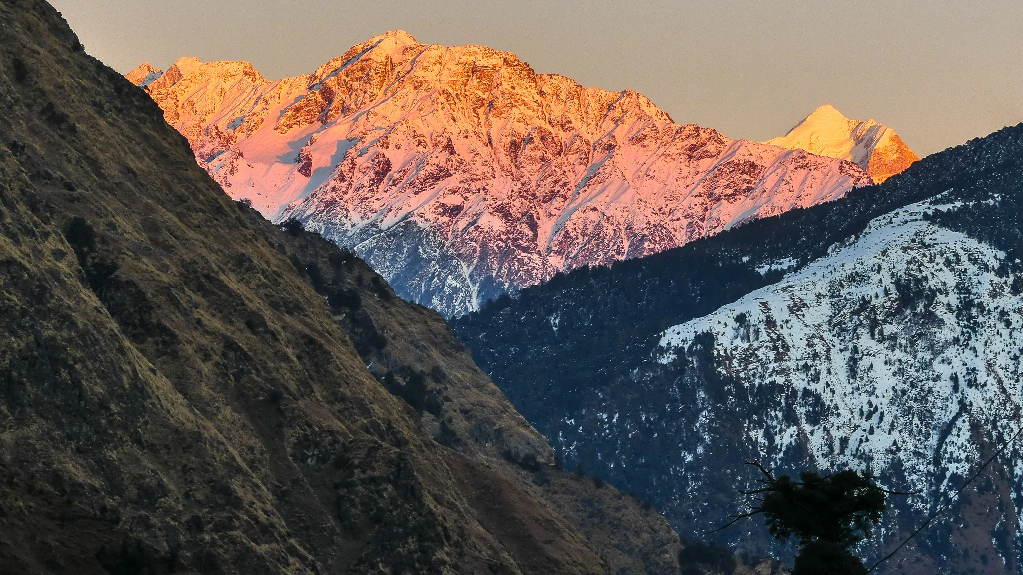
- Darshan of Bhagwan Shiva's jata (matted locks) at Kalpeshwar, the fifth Kedar of the Panch Kedar, in a small stone shrine reached through a natural rock cave
- The only Panch Kedar shrine whose doors stay open all year, so winter pilgrims can still have darshan when the other four Kedars are closed
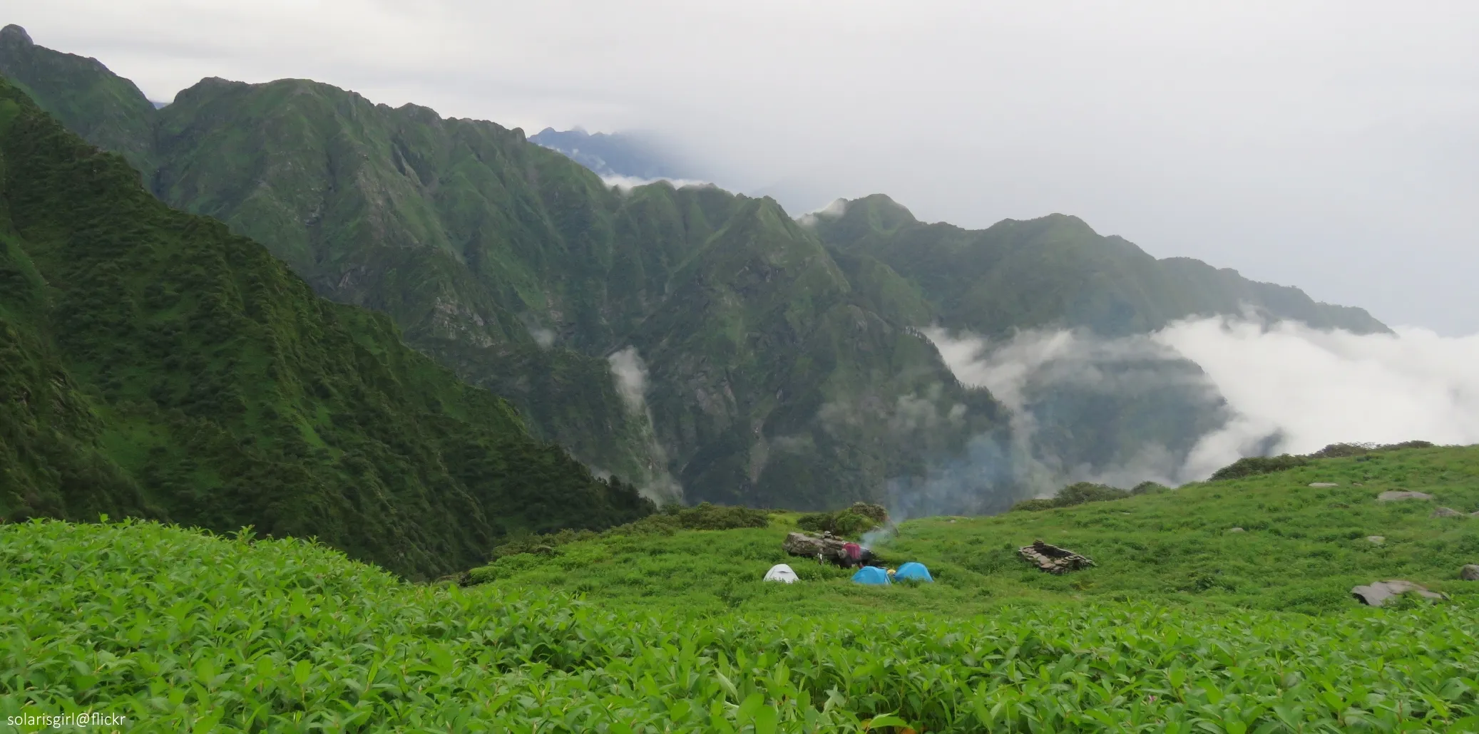
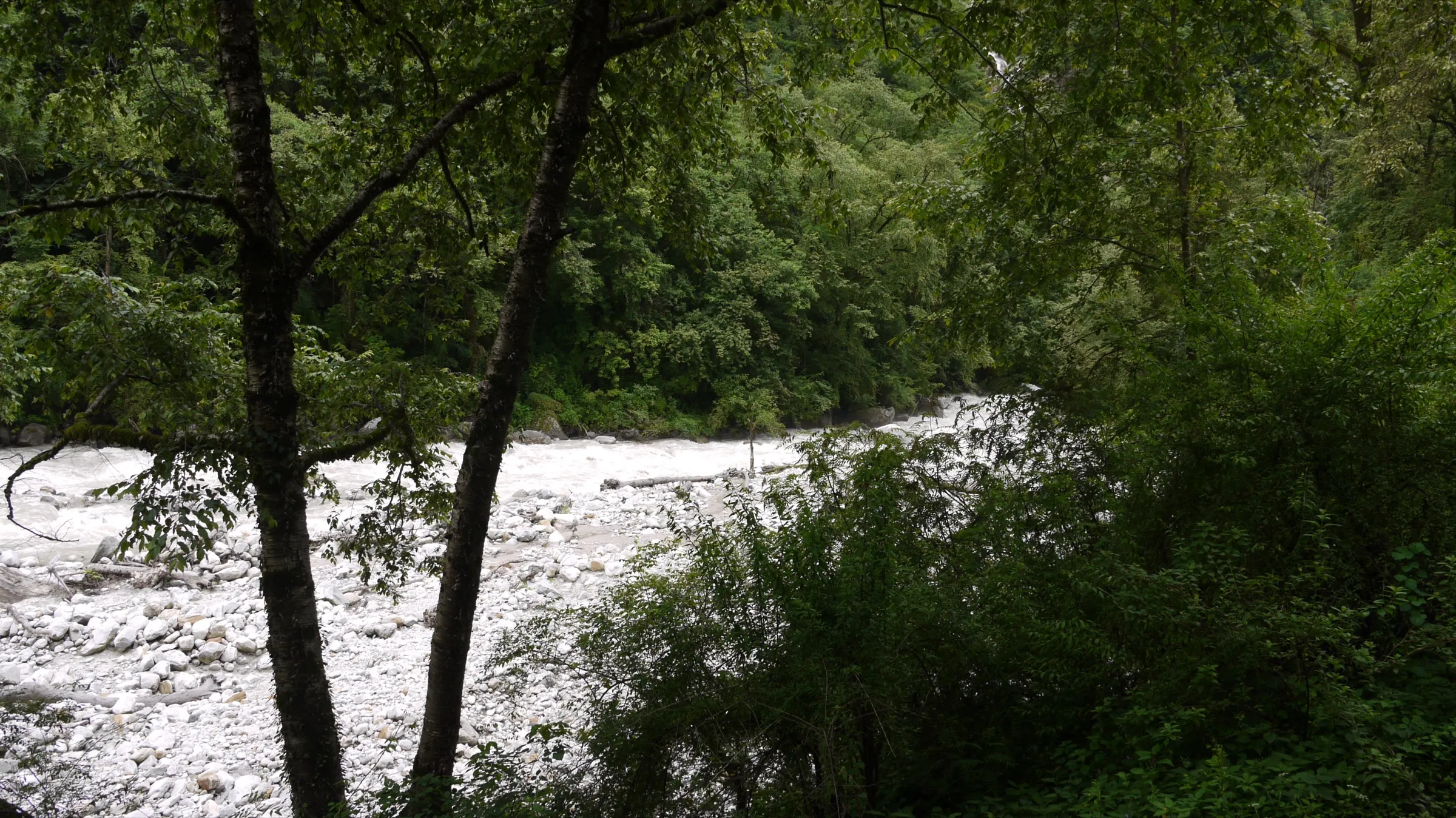
- An easy walk from Devgram past terraced potato fields and apple orchards, a waterfall and a suspension bridge over the Kalpganga
- The old Helang-Urgam footpath, about 12 km along the Kalpganga, was the pilgrims' way before the road reached Devgram
- Combine with Dhyan Badri (one of the Panch Badri) in the Urgam valley, the Bansi Narayan trek from Devgram, or the full Panch Kedar yatra via Rudranath
Risks
- Monsoon (July-September) brings heavy rain and landslides on the Helang-Urgam road and makes the steps and riverside path slippery; Himalayan Dream Treks and Himalaya Shelter both advise avoiding it.
- From November to April snow and cold can block the valley road for days at a time; the temple stays open, but check road conditions in Joshimath before driving up.
- The road from Helang to Devgram is narrow and steep; use local jeeps rather than self-driving in bad weather.
- The last stretch crosses the Kalpganga on a suspension bridge and climbs stone steps to the cave; take care when they are wet.
Know before you go
Questions
Is Kalpeshwar temple open in winter?
Yes. Kalpeshwar is the only one of the Panch Kedar temples that stays open throughout the year. Winter (December-February) is cold and snow can block the Urgam valley road for a few days, so allow spare time.
How long is the walk to Kalpeshwar temple?
From Devgram the walk is short: operators quote about 1-2 km, and Indiahikes times the return walk at 2-3 hours with an unhurried pace. Wikipedia notes that with the road now reaching Devgram, the last section on foot can be as little as a few hundred metres. Before the road, pilgrims walked about 12 km from Helang.
Which part of Bhagwan Shiva is worshipped at Kalpeshwar?
The jata, Bhagwan Shiva's matted locks. In the Panch Kedar katha, Mahadev in the form of a bull went into the earth and appeared at five places: the hump at Kedarnath, the arms at Tungnath, the face at Rudranath, the navel at Madhyamaheshwar and the jata at Kalpeshwar, the fifth Kedar.
How do I reach Kalpeshwar from Rishikesh?
Take a bus or shared taxi up the Badrinath highway to Helang, about 8-9 hours from Rishikesh, then a shared jeep for about an hour to Devgram in the Urgam valley. The walk to the temple starts from Devgram.
Can I still walk the old route from Helang?
The old pilgrim footpath from Helang to Urgam is about 12 km along the Kalpganga and took several hours. Most pilgrims now drive, so ask in Helang or Urgam whether the path is passable before setting out on foot.
In an emergency
Save these numbers before you lose signal. Tap to call.
- 112All emergenciesIndia’s single emergency number — works in every state
- 108Ambulance
- 1077District disaster control room
You are in
District: ChamoliUttarakhand
- Nearest hospital
- Joshimath for the nearest hospital; AIIMS Rishikesh for serious cases
- Last ATM
- Joshimath (Jyotirmath); carry cash for jeeps and Devgram guesthouses
- Phone network
- Patchy in the Urgam valley; expect weak or no signal near the temple. Tell family your plans before leaving Joshimath.
Before you set off
- Tell someone your route and when you will be back.
- Carry a charged phone and a power bank.
- Download an offline map of the route.
- Turn back if the weather turns bad — the mountain will wait.
Questions about Kalpeshwar
No questions yet. Ask something and trekkers who have done it can answer.
Share your trek photo with #TreksAndTrails
I trekked this
Did Kalpeshwar look different from this page? Tell us what changed and we will check it.
Where this comes from
Sources
Last reviewed:
- Kalpeshwar Rudranath Trek (documented trek) — Indiahikes
- Kalpeshwar — Wikipedia
- Kalpeshwar Temple Trek — Himalaya Shelter
- Guide to Kalpeshwar Temple — Himalayan Dream Treks
Photos: Ms Sarah Welch, CC0; Ms Sarah Welch, CC0; rolling on, CC BY 2.0