Dudhatoli Trek
Pauri Garhwal, Uttarakhand
Opens without signal on this phone, with the map file and checklist. Saved for offline →
- Max altitude
- 3,042 m
- Days
- 5 days
- Distance
- 33 km
- Difficulty
- Easy
Gradual, non-technical forest and meadow trail with 4-6 hours of walking a day; the longest days are the 11 km first and last stages, and the high point stays near 3,000 m.
Photos
On the trail
The route
Day by day
Day 1
Rishikesh → Peethsain (via Thalisain)
370 m → 2,260 m
Day 2
Peethsain → Binsar (Binsar Mahadev)
2,260 m → 2,514 m
Day 3
Binsar → Udayaramun Kharak
2,514 m → 2,684 m
Day 4 · highest point
Udayaramun Kharak → Dudhatoli meadows
2,684 m → 3,042 m
Day 5
Dudhatoli meadows → Bhararisain (drive to Rishikesh)
3,042 m → 2,270 m
Ups and downs
Altitude profile
Where it is
Map
Trailhead and high point only — not a recorded track. Use it with a proper map.
Weather
Next 5 days on the trail
Live forecast for the trailhead and the high point. Mountain weather changes fast — check again on the morning you start.
Trailhead · Peethsain
at 2,260 mLoading forecast…
High point · Dudhatoli meadows
at 3,042 mLoading forecast…
Each day: high / low °C · rain mm and chance · snow cm · wind km/h
Weather data: Open-Meteo.comModel forecast, not an official warning. For alerts follow IMD and the local administration.
Plan the trip
How to reach
- Trailhead
- Peethsain (nearest town: Thalisain)
- Nearest railway
- Yog Nagari Rishikesh (Haridwar is the larger junction, about 28 km away)
- Nearest airport
- Jolly Grant Airport, Dehradun (about 22 km from Rishikesh)
- By road
- Rishikesh (about 213 km to Peethsain via Thalisain, 7-8 hours); Gairsain (on NH 87) to Bhararisain, the road-head for the shorter, steeper northern approach
- Drive
- About 8 h from Rishikesh
Plan the trip
Permits and fees
We could not confirm the current permit rules and fees from an official source. Check with the local forest department or tourism office before you go.
Plan the trip
Cost
Self-guided
₹6,000–10,000
With an operator
₹11,000–16,000
Per person, ex-Rishikesh. Guided prices published October 2026: Trek The Himalayas ₹10,500 + 5% GST (Peethsain to Bhararisain; Rishikesh transport optional extra); Himalaya Shelter ₹15,000 + 5% GST. Self-guided is an estimate: bus or shared jeep Rishikesh-Thalisain-Peethsain and back from Gairsain, a guesthouse night, a local guide/porter, and tent and stove hire. Forest entry charges apply and are included in guided packages.
Gear
Top picks for this trek
The gear that matters most on this route, chosen from its altitude, season and risks.
 Ad · affiliate link
 Ad · affiliate link
 Ad · affiliate link
 Ad · affiliate link
 Ad · affiliate link
 Ad · affiliate link
 Ad · affiliate link
 Ad · affiliate link
Store buttons open a search on that store, not a product we picked. As an Amazon Associate we earn from qualifying purchases. Photos show the kind of item, not a specific product. Affiliate disclosure
Packing checklist
Matched to this trek: altitude, season, days and the risks on the route.
Packed 0 of 34
Nights near 3,042 m can drop close to freezing even in summer. Pack one more warm layer than you think.
Tick each item as it goes in the bag.
Know before you go
Good to know
- Mobile network
- Limited coverage after the base village; expect no reliable signal on the upper trail.
- Last ATM
- Thalisain (carry cash; confirm locally)
- Nearest hospital
- Community health centres at Thalisain and Gairsain for first care; AIIMS Rishikesh for serious cases
- Water
- Streams and springs near the forest camps and the shepherd huts (chhanis) on the meadows; boil or treat all water.
Highlights
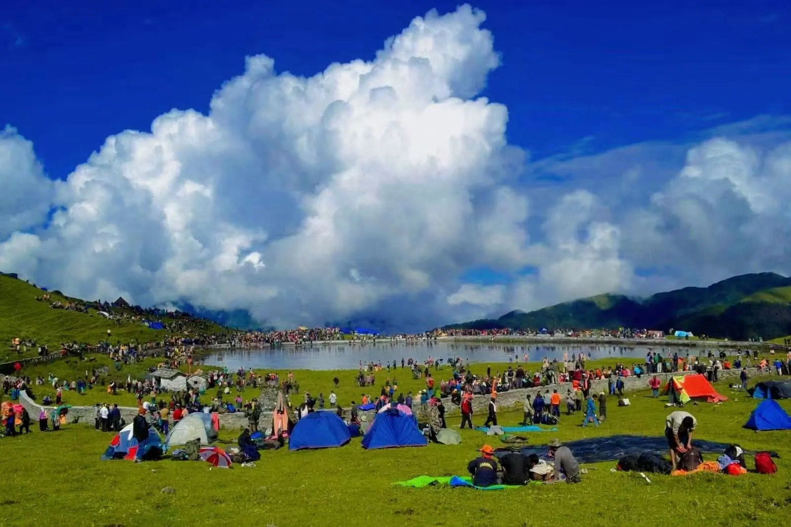
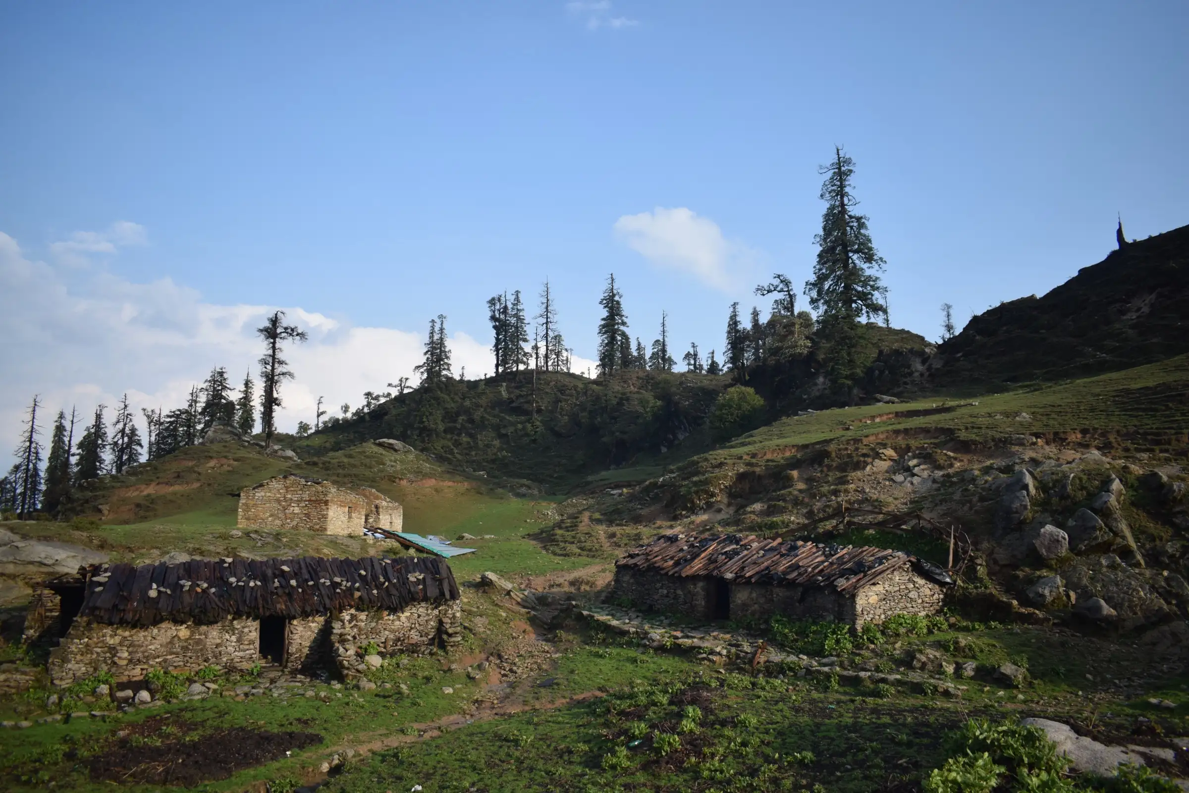
- Wide high meadows (bugyals) with shepherd chhanis on the Dudhatoli plateau around 3,000 m
- Dense oak, rhododendron and West Himalayan fir forest, with very few other trekkers
- The ancient Binsar Mahadev temple on the first trekking day
- The Veer Chandra Singh Garhwali memorial on the Dudhatoli range, honouring the Peshawar Incident hero
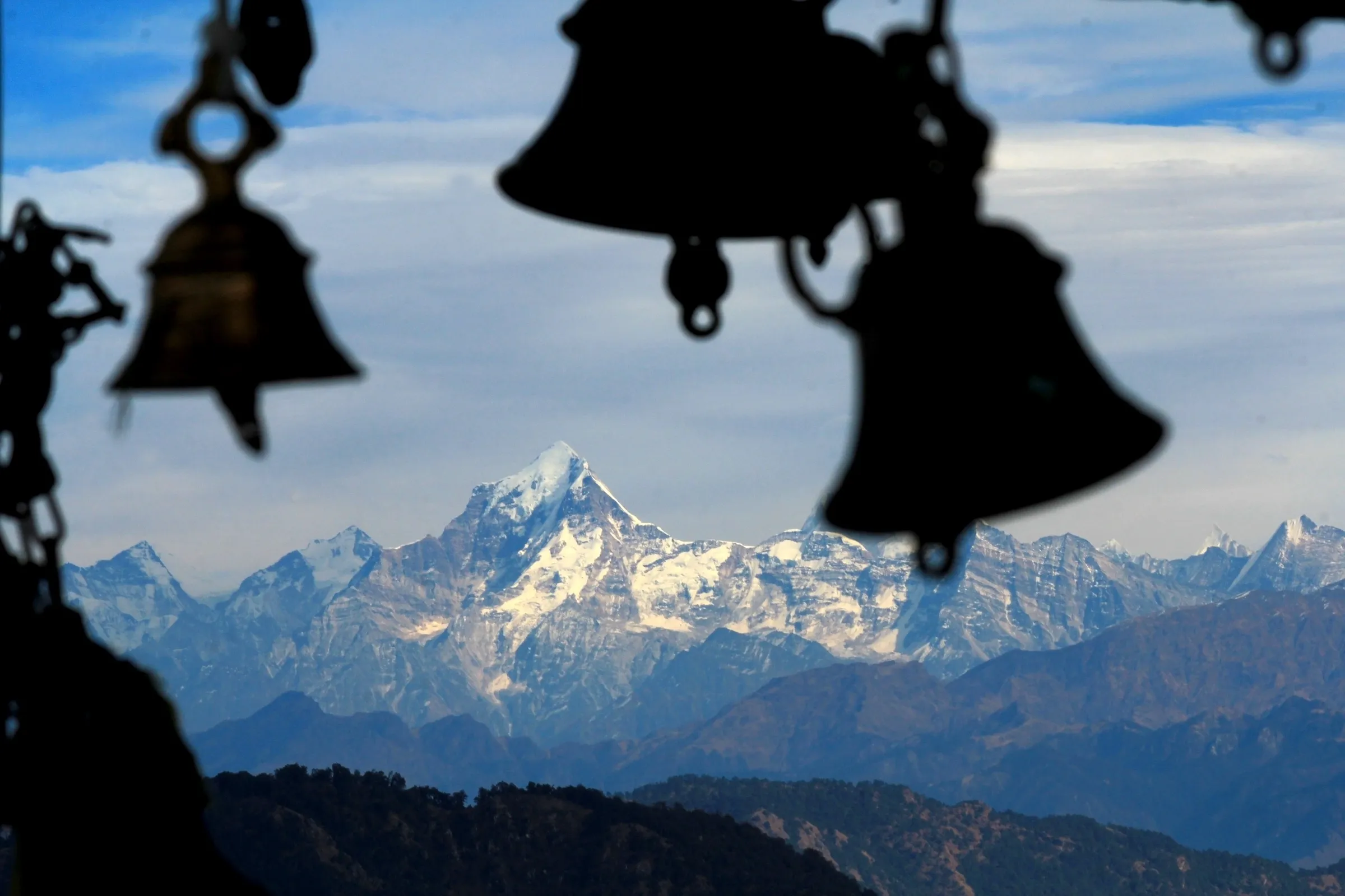
- Views from the ridge to the Trishul massif, Bandarpoonch and the Gangotri group
Risks
- July and August monsoon rain makes forest trails slippery and unpredictable; one operator advises avoiding these months and another advises a buffer day.
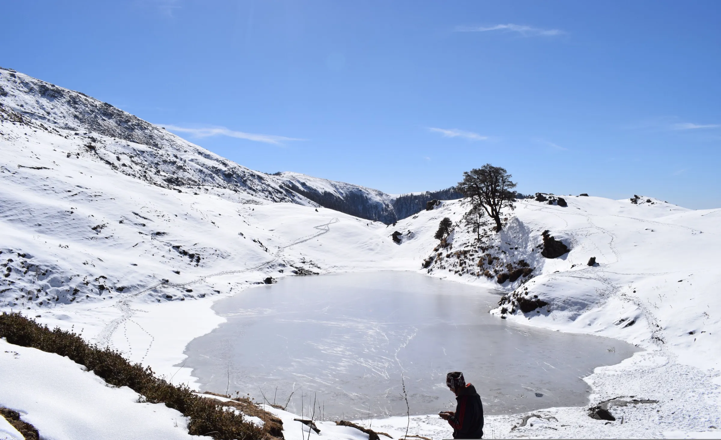
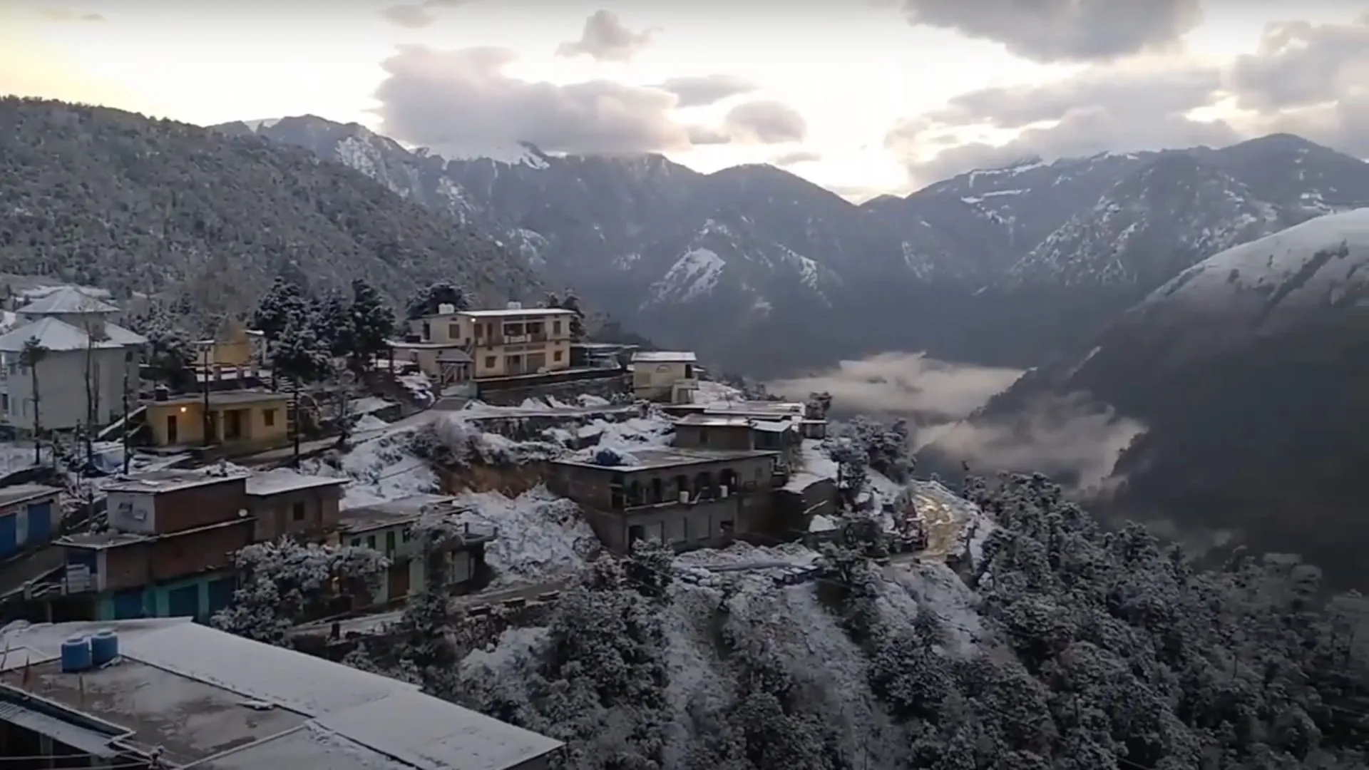
- Snow lies from December to March and can linger in shaded spots until early April; nights are sub-zero in winter.
- Remote, little-used trail with few people and patchy mobile signal; go with a guide who knows the route.
Know before you go
Questions
Is Dudhatoli suitable for beginners?
Yes. Operators grade it easy: the altitude gain is gradual, the terrain is non-technical, and most days are 4-6 hours of walking. Basic fitness is enough; Trek The Himalayas asks that you can jog 5 km in 45 minutes.
What is the best time for the Dudhatoli trek?
April to June and September to November. Winter (December to March) brings snow and very cold nights. July and August are monsoon months with slippery trails.
Where does the Dudhatoli trek start and how do I get there?
The usual start is Peethsain, a village about 22 km from Thalisain in Pauri Garhwal, about 213 km (7-8 hours) by road from Rishikesh. A shorter but steeper approach starts from Bhararisain near Gairsain, with 10-12 km of steep walking.
How high and how long is the Dudhatoli trek?
Operators give a high point of about 3,042 m (9,982 ft) at the Dudhatoli meadows and about 33 km of walking over 5 days. The highest peak of the range, Musa Ka Kotha, is 3,114 m.
Is there mobile network on the Dudhatoli trek?
Connectivity is limited after the base village, so expect little or no signal on the trail.
In an emergency
Save these numbers before you lose signal. Tap to call.
- 112All emergenciesIndia’s single emergency number — works in every state
- 108Ambulance
- 1077District disaster control room
You are in
District: Pauri GarhwalUttarakhand
- Nearest hospital
- Community health centres at Thalisain and Gairsain for first care; AIIMS Rishikesh for serious cases
- Last ATM
- Thalisain (carry cash; confirm locally)
- Phone network
- Limited coverage after the base village; expect no reliable signal on the upper trail.
Before you set off
- Tell someone your route and when you will be back.
- Carry a charged phone and a power bank.
- Download an offline map of the route.
- Turn back if the weather turns bad — the mountain will wait.
Questions about Dudhatoli
No questions yet. Ask something and trekkers who have done it can answer.
Share your trek photo with #TreksAndTrails
I trekked this
Did Dudhatoli look different from this page? Tell us what changed and we will check it.
Where this comes from
Sources
Last reviewed:
- Dudhatoli Trek — Trek The Himalayas
- Dudhatoli Trek — Himalaya Shelter
- Dudhatoli — Wikipedia
Photos: Deodar16, CC BY-SA 4.0; Deodar16, CC BY-SA 4.0; Rohit Gosain, CC BY-SA 4.0