Medigeshi Fort Trek
Tumakuru (Madhugiri taluk), Karnataka
Opens without signal on this phone, with the map file and checklist. Saved for offline →
 1,067 mhighest point
- Max altitude
- 1,067 m
- Days
- 1 day
- Distance
- 2 km
- Difficulty
- Moderate
Only about 1 km each way, but the middle section is a sustained climb on steep, shadeless rock slabs, followed by very steep rock-cut steps that many find harder to come down than to go up.
The route
Day by day
Day 1 · highest point
Venkataramana Swamy Temple, Medigeshi → Venkataramana Swamy Temple, Medigeshi (via Medigeshi Fort summit)
758 m → 1,067 m → 758 m
Ups and downs
Altitude profile
Where it is
Map
Trailhead and high point only — not a recorded track. Use it with a proper map.
Weather
Next 5 days on the trail
Live forecast for the trailhead and the high point. Mountain weather changes fast — check again on the morning you start.
Trailhead · Venkataramana Swamy Temple, Medigeshi village
at 758 mLoading forecast…
High point · Medigeshi Fort summit
at 1,067 mLoading forecast…
Each day: high / low °C · rain mm and chance · snow cm · wind km/h
Weather data: Open-Meteo.comModel forecast, not an official warning. For alerts follow IMD and the local administration.
Plan the trip
How to reach
- Trailhead
- Venkataramana Swamy Temple, Medigeshi village (nearest town: Madhugiri)
- Nearest railway
- Tumakuru (about 65 km by road via Madhugiri)
- Nearest airport
- Kempegowda International Airport, Bengaluru
- By road
- Bengaluru (about 120-130 km via NH 48 and Dabaspet to Madhugiri, then SH 3 towards Pavagada); Madhugiri (about 21 km on SH 3, the Madhugiri-Pavagada road); KSRTC buses from Bengaluru Majestic to Pavagada via Madhugiri stop at Medigeshi; the trailhead is about 800 m from the bus stop
- Drive
- About 3.25 h from Bengaluru
Plan the trip
Permits and fees
We could not confirm the current permit rules and fees from an official source. Check with the local forest department or tourism office before you go.
Plan the trip
Cost
Self-guided
₹300–1,500
With an operator
₹1,000–2,000
Per person, ex-Bengaluru, day trip. We found no operator publishing a current price for this trek, so the guided range is an estimate based on what Bengaluru groups charge for nearby Madhugiri Fort day trips (about ₹1,050-1,700 in October 2026). Self-guided: KSRTC bus to Medigeshi and back plus food, or a share of fuel for a private car. Indiahikes says no permit or guide is needed.
Gear
Top picks for this trek
The gear that matters most on this route, chosen from its altitude, season and risks.
 Ad · affiliate link
 Ad · affiliate link
 Ad · affiliate link
 Ad · affiliate link
- Ad · affiliate link
 Ad · affiliate link
 Ad · affiliate link
 Ad · affiliate link
Store buttons open a search on that store, not a product we picked. As an Amazon Associate we earn from qualifying purchases. Photos show the kind of item, not a specific product. Affiliate disclosure
Packing checklist
Matched to this trek: altitude, season, days and the risks on the route.
Packed 0 of 21
Monsoon months (Sep): pack everything in plastic or a dry bag and wear shoes with good grip.
Tick each item as it goes in the bag.
Know before you go
Good to know
- Mobile network
- Not reported by our sources; Medigeshi is a village on the state highway, so expect a signal at the base. Check before relying on it on the hill.
- Last ATM
- Madhugiri town (about 21 km); we could not confirm an ATM in Medigeshi village
- Nearest hospital
- Primary Health Centre, Medigeshi village, for first aid; Madhugiri Government Hospital (about 21 km) for anything serious
- Water
- No water points and no food stalls on the trail (Indiahikes). Carry at least 2 litres per person; there are eateries in Madhugiri.
Highlights
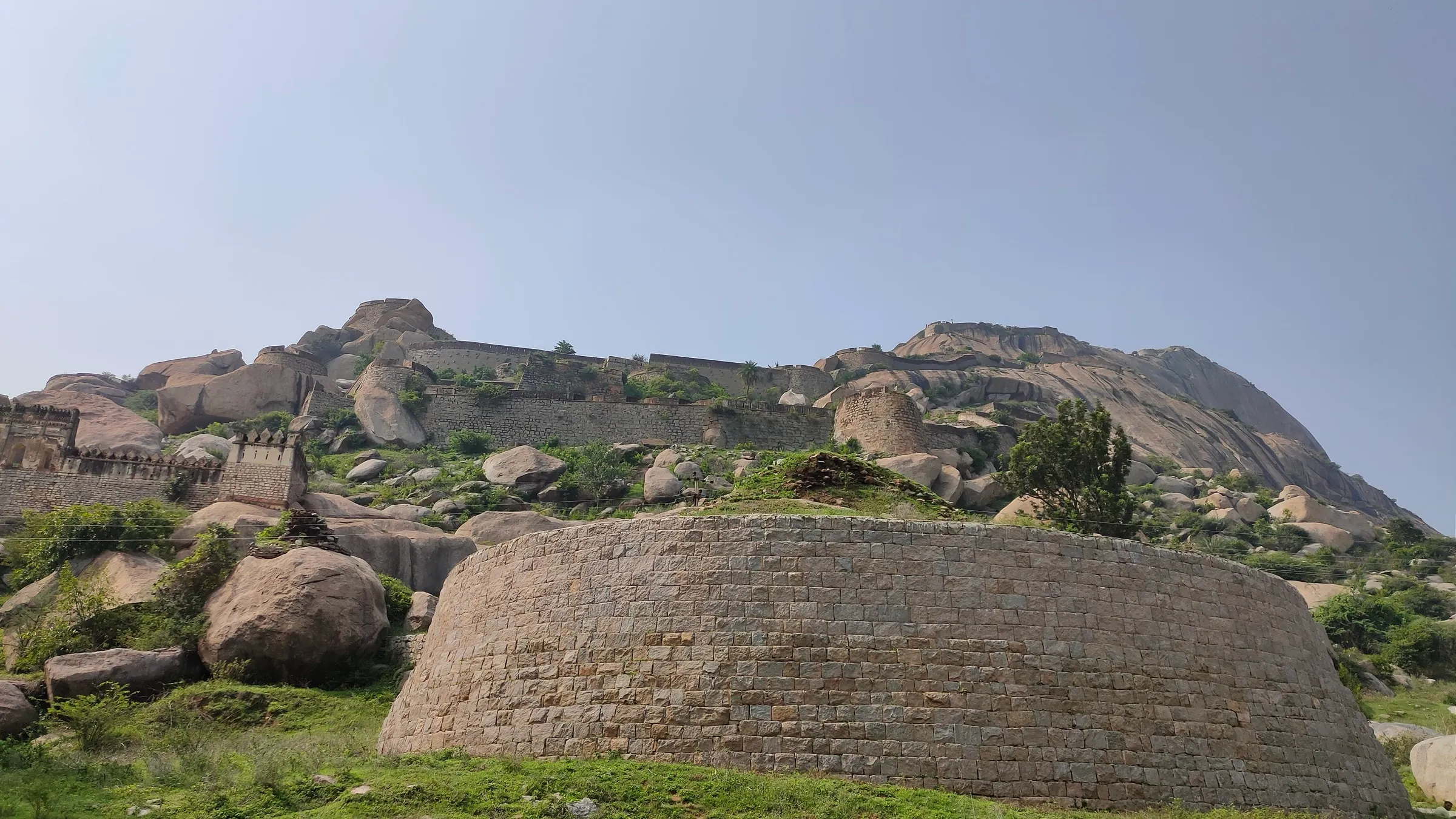
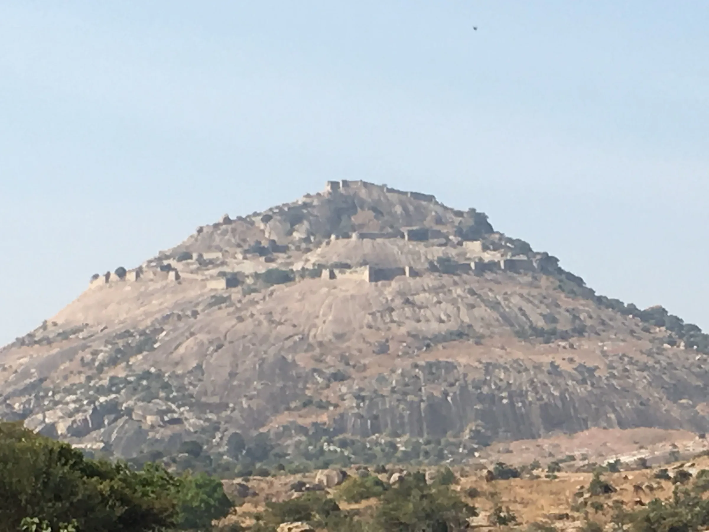
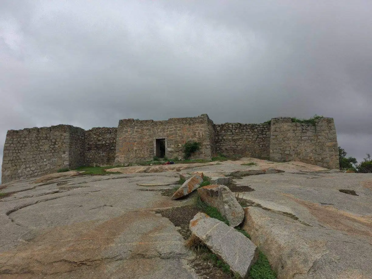
- Hilltop fort with a pond, rainwater channels, granaries, a mosque-like structure with minarets and a small temple of Bhagwan Hanuman on a broad rock plateau
- Several fort gateways, stone platforms and rock-cut steps along a short climb
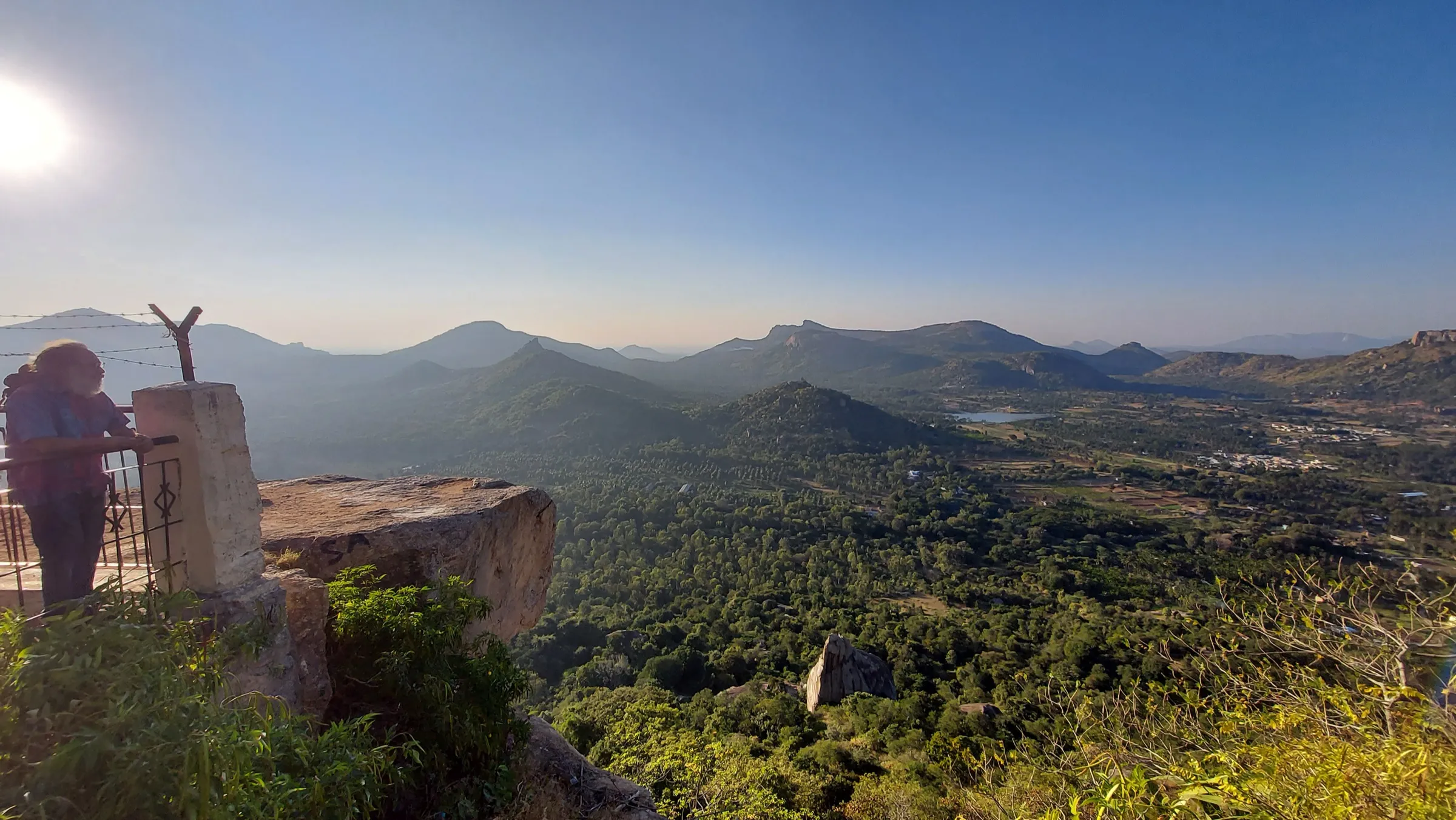
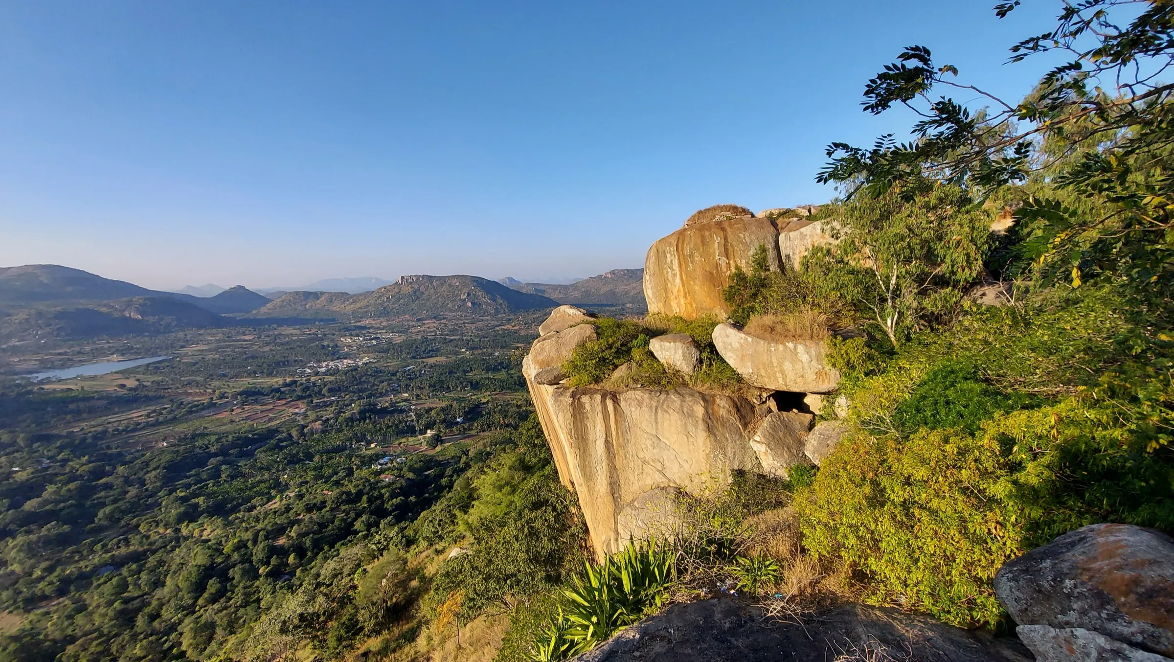
- 360-degree views over lakes, including Sanyasi Katte lake, farmland and the rocky hills of Tumakuru district
- The old Venkataramana Swamy Temple at the base, where the trail begins
- Quiet compared with nearby Madhugiri Fort, and easy to combine with it over a weekend
Risks
- The steep rock-slab section is slippery when wet; Indiahikes calls the peak monsoon a bad time to climb because the boulders become dangerous and the trail overgrows.
- The final rock-cut stairs are very steep (one trip report measured about 75 degrees) and exposed; a fall here would be serious. Keep a gap between climbers and descend slowly.
- No shade on the rock and no water on the trail; the boulders get very hot by late morning, so start early, especially in March-May.
- The trail is unmarked in places and it is possible to stray off it among boulders and cactus.
- Parking at the base is limited and unmonitored.
- Karnataka's Chief Wildlife Warden suspended forest trekking routes in May 2026 pending safety certification; Medigeshi is a fort climb from the village and was not reported as closed, but check locally before going.
Know before you go
Questions
Do I need a permit or a guide for the Medigeshi Fort trek?
Indiahikes says no permit and no guide are needed, and the trek can be done on your own. We found no official notice on fees, so check locally if anyone asks you to register.
How difficult is the Medigeshi Fort trek? Is it OK for beginners?
It is short (about 2 km there and back, around 2-3 hours) but steep. Indiahikes does not recommend it for first-time trekkers, senior citizens or young children because of the steep rock slabs and rock-cut steps; an older trip report rated it easy, so it suits people comfortable on rock.
What is the best time to do the Medigeshi Fort trek?
Indiahikes says the hill is accessible all year but recommends September to February. Avoid peak monsoon, when the rock is slippery, and start early in summer before the rock heats up.
How do I reach Medigeshi from Bengaluru?
Drive about 120-130 km (3-3.5 hours) via NH 48 and Madhugiri, then 21 km on SH 3 towards Pavagada. By bus, take a KSRTC bus to Pavagada via Madhugiri from Majestic and get down at Medigeshi, about 800 m from the temple where the trail starts.
Is there water or food on the trail?
No. There are no food stalls or water points on the trek, so carry enough water and snacks. Madhugiri has eateries for after the climb.
In an emergency
Save these numbers before you lose signal. Tap to call.
- 112All emergenciesIndia’s single emergency number — works in every state
- 108Ambulance
- 1077District disaster control room
You are in
District: Tumakuru (Madhugiri taluk)Karnataka
- Nearest hospital
- Primary Health Centre, Medigeshi village, for first aid; Madhugiri Government Hospital (about 21 km) for anything serious
- Last ATM
- Madhugiri town (about 21 km); we could not confirm an ATM in Medigeshi village
- Phone network
- Not reported by our sources; Medigeshi is a village on the state highway, so expect a signal at the base. Check before relying on it on the hill.
Before you set off
- Tell someone your route and when you will be back.
- Carry a charged phone and a power bank.
- Download an offline map of the route.
- Turn back if the weather turns bad — the mountain will wait.
Questions about Medigeshi Fort
No questions yet. Ask something and trekkers who have done it can answer.
Share your trek photo with #TreksAndTrails
I trekked this
Did Medigeshi Fort look different from this page? Tell us what changed and we will check it.
Where this comes from
Sources
Last reviewed:
- A Complete Guide to the Medigeshi Fort Trek — Indiahikes
- A Complete Guide to Midigeshi Fort Trek — Girish Patil (evilhead.me)
- Places to visit around Bangalore - Part 10 (51. Midigeshi) — Team G Square
- Fort Midigeshi, Tumkur — Team G Square
- Medigeshi: A Fort Guards Nature — JLR Explore (Jungle Lodges & Resorts)
- Medigeshi — Wikipedia
Photos: SWE-Yaatrik, CC BY-SA 4.0