Madhugiri Trek
Tumakuru (Madhugiri taluk), Karnataka
Opens without signal on this phone, with the map file and checklist. Saved for offline →
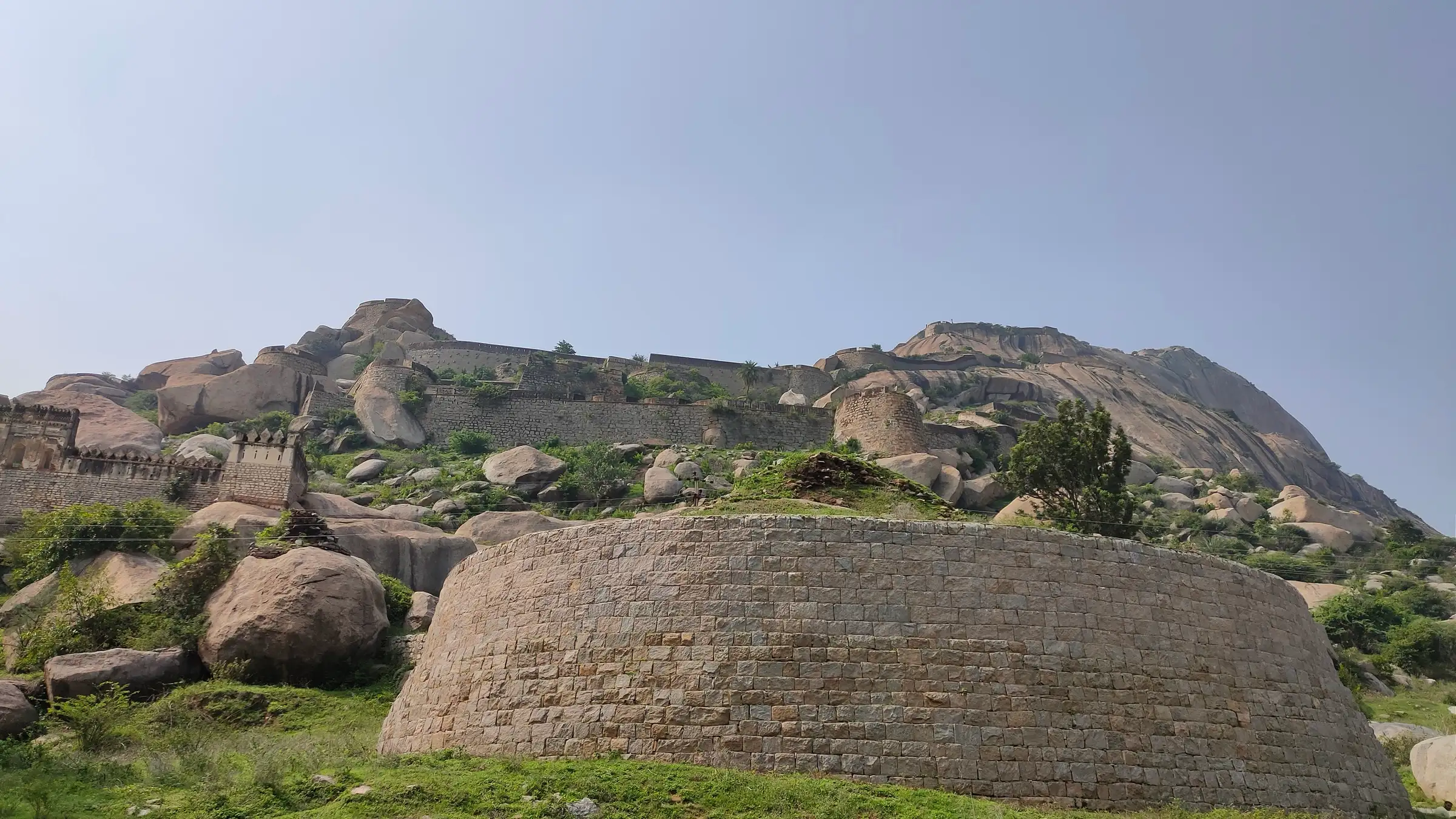
- Max altitude
- 1,198 m
- Days
- 1 day
- Distance
- 3 km
- Difficulty
- Moderate
Short (about 1.5 km each way) but about 400 m of climb on bare granite; between the first and second gateways the trail crosses a 75–80 degree rock face on narrow footholds, partly without railings, which is slippery when wet and hard in strong wind.
Photos
On the trail
The route
Day by day
Day 1 · highest point
Madhugiri fort entrance gate → Madhugiri fort entrance gate (via the summit fort)
780 m → 1,198 m → 780 m
Ups and downs
Altitude profile
Where it is
Map
Trailhead and high point only — not a recorded track. Use it with a proper map.
Weather
Next 5 days on the trail
Live forecast for the trailhead and the high point. Mountain weather changes fast — check again on the morning you start.
Trailhead · Madhugiri fort entrance gate, Madhugiri town
at 780 mLoading forecast…
High point · Madhugiri fort summit (Gopala Krishna temple ruins)
at 1,198 mLoading forecast…
Each day: high / low °C · rain mm and chance · snow cm · wind km/h
Weather data: Open-Meteo.comModel forecast, not an official warning. For alerts follow IMD and the local administration.
Plan the trip
How to reach
- Trailhead
- Madhugiri fort entrance gate, Madhugiri town
- Nearest railway
- Tumakuru (about 44 km)
- Nearest airport
- Kempegowda International Airport, Bengaluru (about 100 km)
- By road
- Bengaluru (about 107 km via Nelamangala and Dabaspet, then Koratagere; or via Tumakuru); Tumakuru (about 44 km); KSRTC buses from Bengaluru Majestic to Madhugiri bus stand, close to the trek entrance (2.5–3 hours)
- Drive
- About 2.5 h from Bengaluru
Plan the trip
Permits and fees
We could not confirm the current permit rules and fees from an official source. Check with the local forest department or tourism office before you go.
Plan the trip
Cost
Self-guided
₹300–1,000
With an operator
₹1,050–1,700
Per person, ex-Bengaluru, day trip. Guided prices seen October 2026: BMC Adventures ₹1,050 (transport, breakfast, lunch, insurance, GST) and Muddie Trails ₹1,450–1,700 (transport, breakfast, entry charges, trek leader). Self-guided is an estimate: KSRTC bus about ₹150 each way (Indiahikes), food and any small entry charge at the gate. Karnataka Tourism says there is no fee, only registration with the guards; Muddie Trails mentions entry charges, so check at the gate.
Gear
Top picks for this trek
The gear that matters most on this route, chosen from its altitude, season and risks.
 Ad · affiliate link
 Ad · affiliate link
 Ad · affiliate link
 Ad · affiliate link
- Ad · affiliate link
 Ad · affiliate link
 Ad · affiliate link
 Ad · affiliate link
Store buttons open a search on that store, not a product we picked. As an Amazon Associate we earn from qualifying purchases. Photos show the kind of item, not a specific product. Affiliate disclosure
Packing checklist
Matched to this trek: altitude, season, days and the risks on the route.
Packed 0 of 22
Monsoon months (Sep): pack everything in plastic or a dry bag and wear shoes with good grip.
Tick each item as it goes in the bag.
Know before you go
Good to know
- Mobile network
- Indiahikes reports good coverage on all networks up to the top.
- Last ATM
- Madhugiri town, near the fort entrance
- Nearest hospital
- Government Hospital and Sri Ranga Hospital, Madhugiri town (about 1 km from the entrance)
- Water
- No food or water on the trail; carry at least 2 litres per person. Small shops near the entrance in Madhugiri town.
Highlights
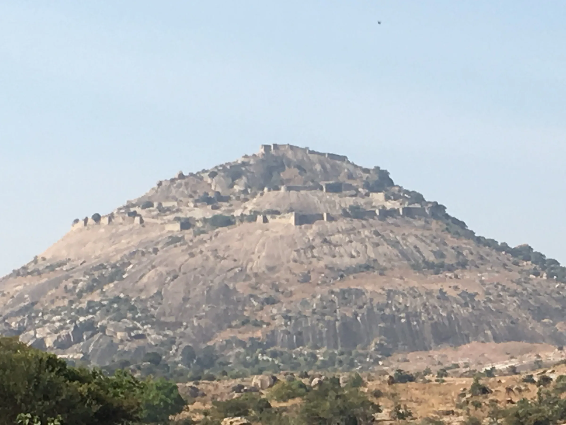
- Climb onto one of Asia's largest granite monoliths (often called the second largest) with a fort on top
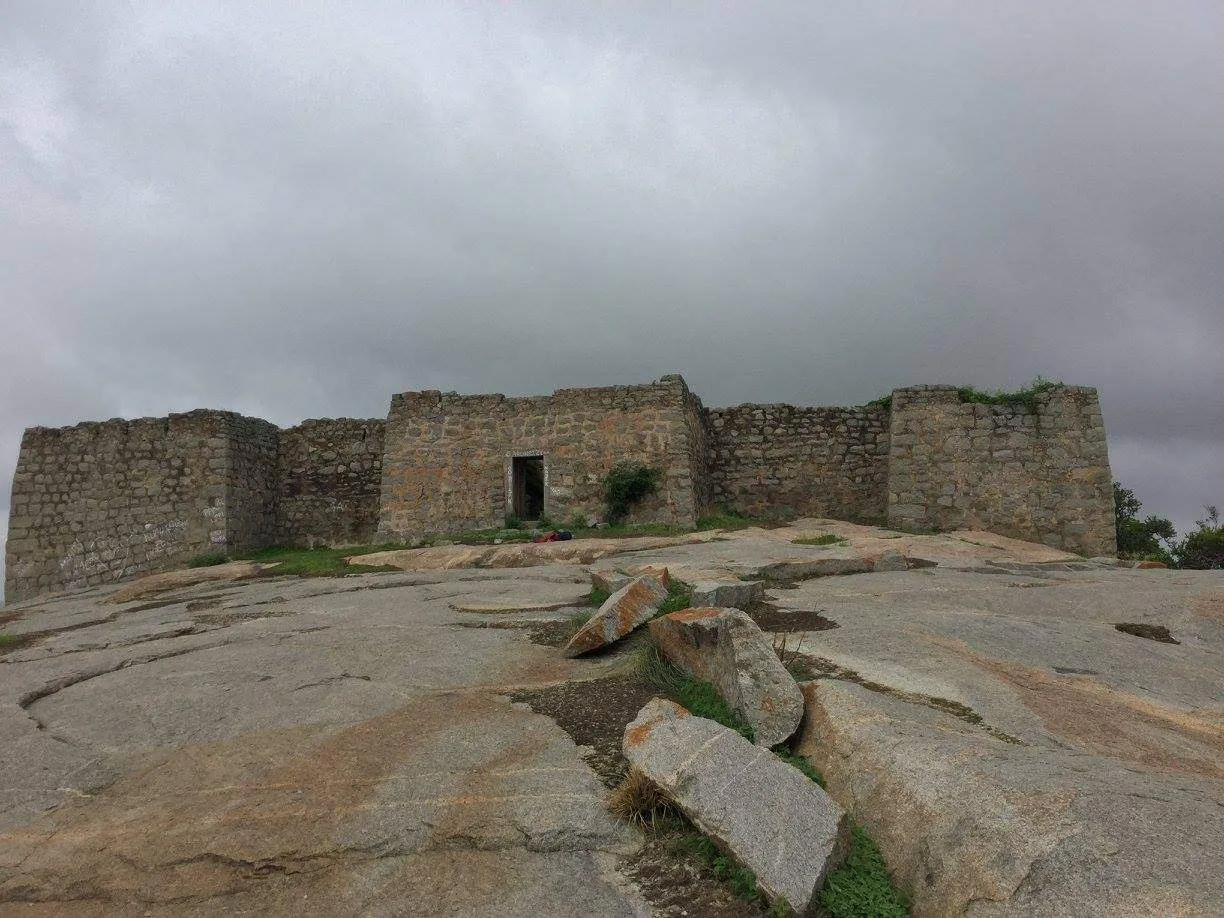
- Three gateways and defence walls, granaries, watchtowers and a latticed arch from the fort's Vijayanagara-era chieftains, Mysore and Hyder Ali periods
- Old rainwater channels on the rock that still feed the pond at the entrance in the monsoon
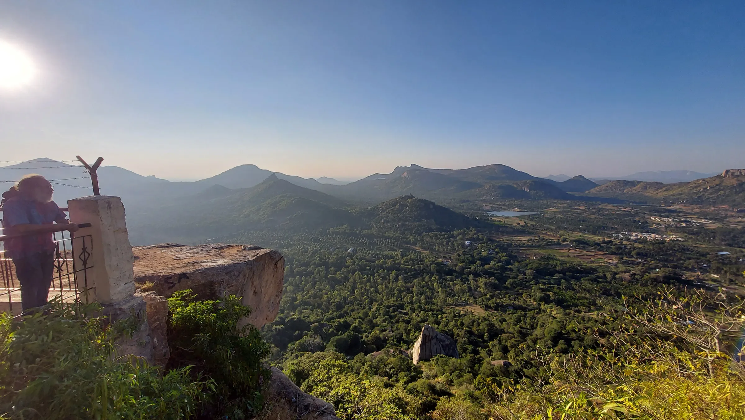
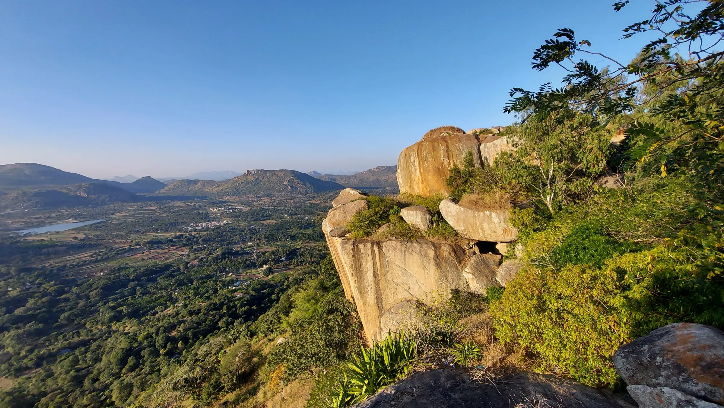
- Ruined Gopala Krishna temple at the summit with wide views over Madhugiri town, lakes and the Thimmalapura forest
Risks
- Exposed 75–80 degree rock section between the first and second gateways with narrow footholds and only partial railings; Deccan Herald reports trekking accidents here that led to steel and rope railings on the steep upper stretches.
- Rock becomes very slippery in rain; Indiahikes and Karnataka Tourism advise against the steep sections in the monsoon (June–August).
- Almost no shade: the rock heats up by late morning, so start early and avoid afternoon starts, especially in March–May.
- Register with the guards at the base and carry a photo ID; we found no confirmed official opening hours, so plan to be down well before dusk.
- Karnataka's Chief Wildlife Warden suspended forest trekking routes in May 2026 pending safety certification; Madhugiri is a fort climb from the town and was not reported as closed, but check locally before going.
Know before you go
Questions
Do I need a permit or booking for the Madhugiri trek?
No online booking is reported. Karnataka Tourism and Indiahikes say there is no permit, but you must register with the guards at the small office at the entrance, so carry a government photo ID. Some operators mention a small entry charge; check at the gate.
How long and how difficult is the Madhugiri trek?
About 1.5 km each way from the entrance gate, taking 2–2.5 hours up and about an hour down (3–4 hours in all). It is graded moderate: most of the way is steps and rock, but one steep, exposed rock section needs careful footing.
What is the best time to climb Madhugiri?
September to February. Post-monsoon months are green and winter gives clearer views. Avoid the rains, when the rock is slippery, and hot afternoons in summer.
How do I reach Madhugiri from Bengaluru?
By road it is about 107 km (around 2.5 hours) via Nelamangala and Dabaspet. KSRTC buses run from Majestic to Madhugiri bus stand, close to the trek entrance, for about ₹150. The nearest railway station is Tumakuru, about 44 km away.
Is there water or food on the trail?
No. Carry at least 2 litres of water and snacks; there are only small shops near the entrance in town.
In an emergency
Save these numbers before you lose signal. Tap to call.
- 112All emergenciesIndia’s single emergency number — works in every state
- 108Ambulance
- 1077District disaster control room
You are in
District: Tumakuru (Madhugiri taluk)Karnataka
- Nearest hospital
- Government Hospital and Sri Ranga Hospital, Madhugiri town (about 1 km from the entrance)
- Last ATM
- Madhugiri town, near the fort entrance
- Phone network
- Indiahikes reports good coverage on all networks up to the top.
Before you set off
- Tell someone your route and when you will be back.
- Carry a charged phone and a power bank.
- Download an offline map of the route.
- Turn back if the weather turns bad — the mountain will wait.
Questions about Madhugiri
No questions yet. Ask something and trekkers who have done it can answer.
Share your trek photo with #TreksAndTrails
I trekked this
Did Madhugiri look different from this page? Tell us what changed and we will check it.
Where this comes from
Sources
Last reviewed:
- Madhugiri Trek - Karnataka Tourism — Karnataka Tourism (official)
- Madhugiri Fort - Trek to the Second Largest Monolith of Asia — Indiahikes
- Madhugiri Fort Trek — TrekUp India
- Madhugiri Day Trek — Muddie Trails
- Day Trek to Madhugiri Fort — BMC Adventures
- Madhugiri Trek — Explurger
- Fort on a monolith — Deccan Herald
- Madhugiri — Wikipedia
Photos: Anu 21 Anusha, CC0; Sangrambiswas, CC BY-SA 4.0; Manoj M Shenoy, CC BY-SA 4.0