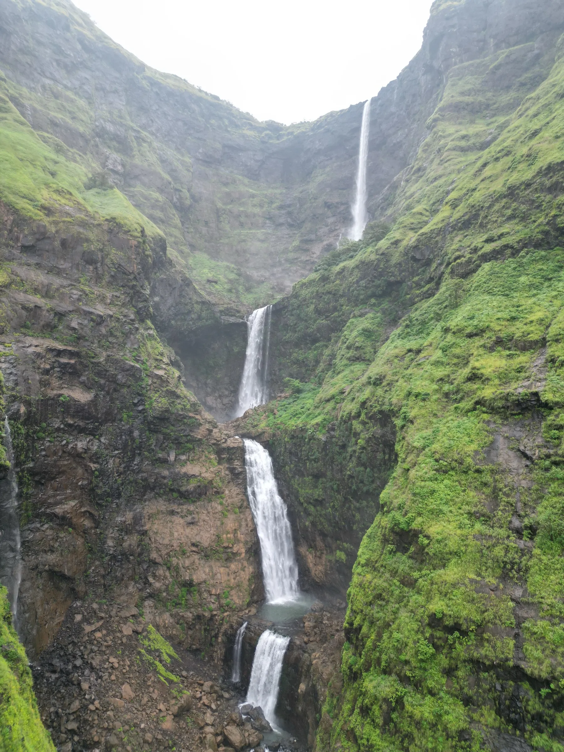
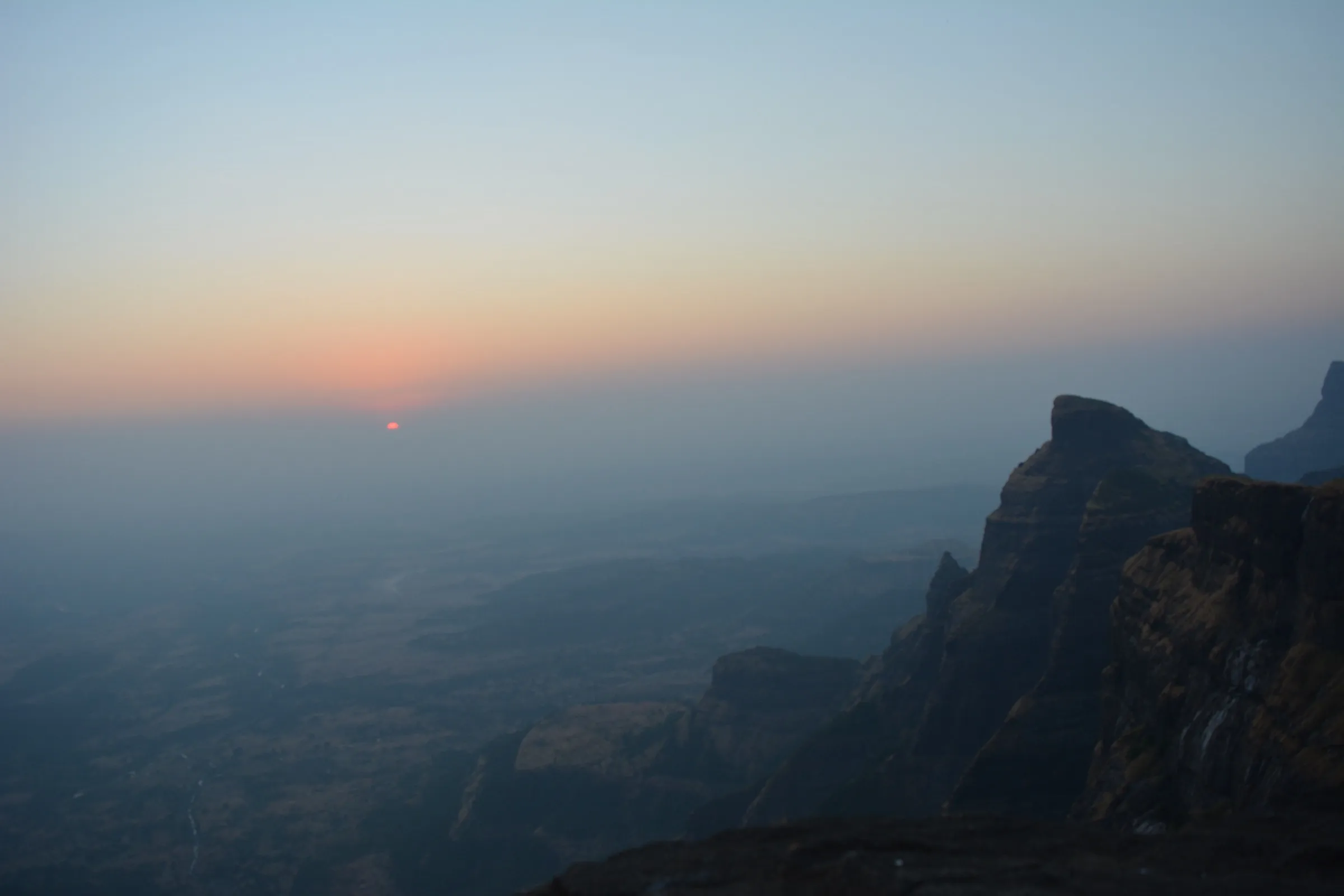
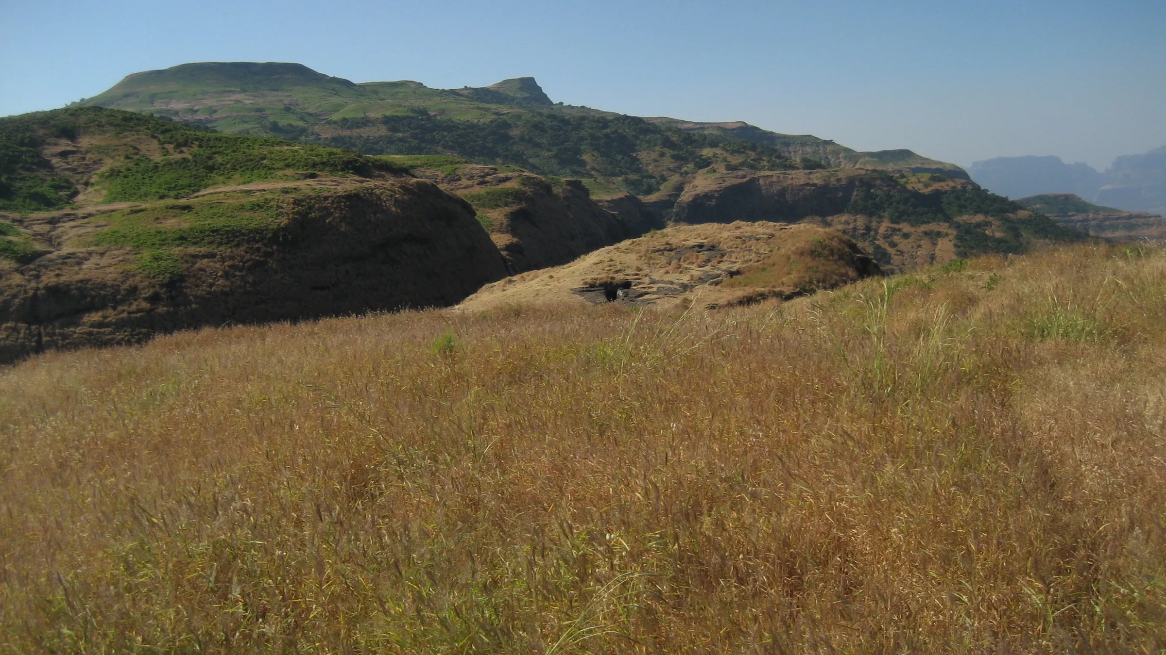
Kunjargad Trek
Ahilyanagar (Ahmednagar), Maharashtra
Opens without signal on this phone, with the map file and checklist. Saved for offline →
 1,439 mhighest point
- Max altitude
- 1,439 m
- Days
- 1 day
- Distance
- 6 km
- Difficulty
- Moderate
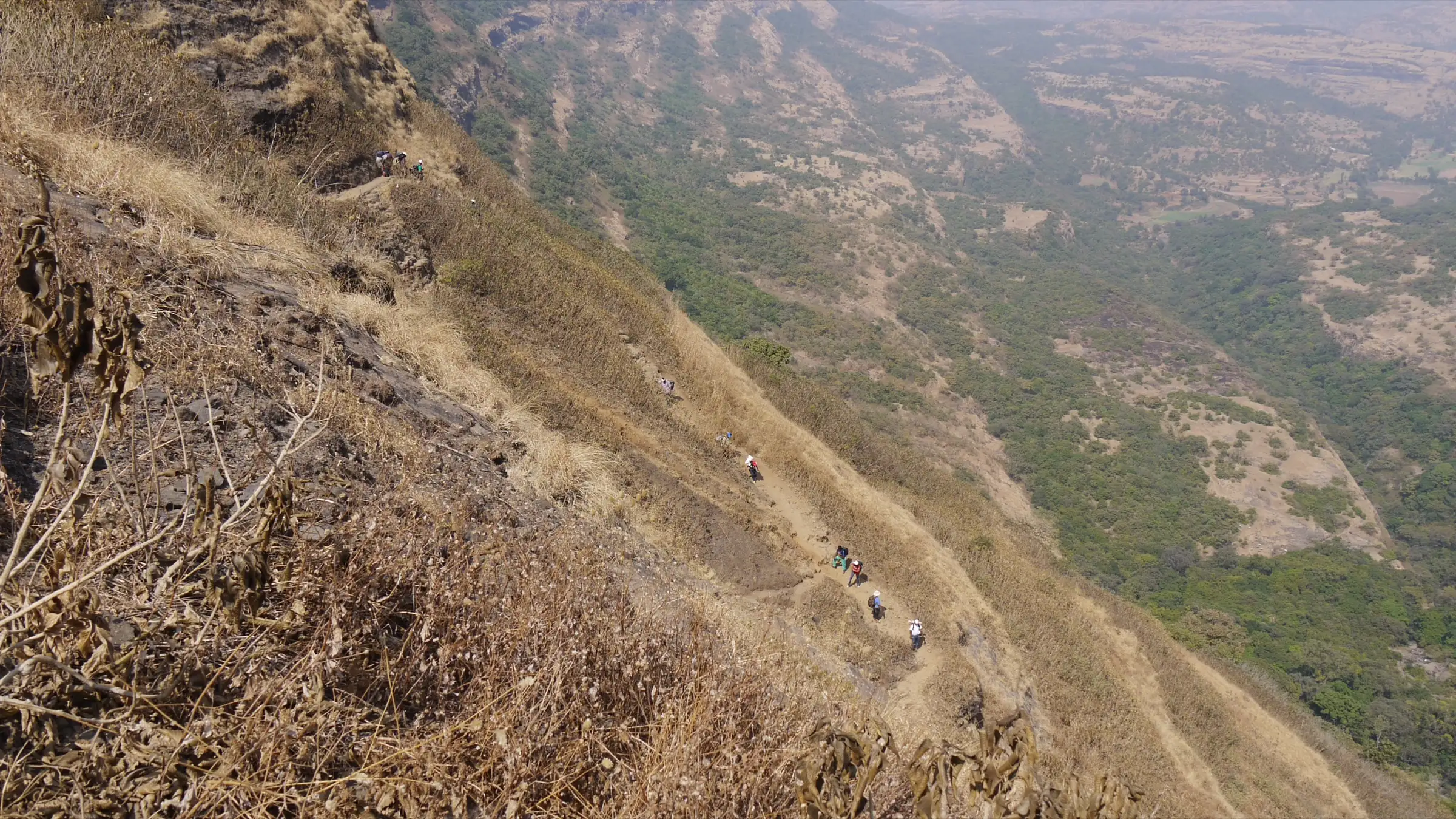
About 1.5 hours and roughly 550 m of climbing from Vihir, with a steep section to the col and rock-cut steps at the end; the optional crawl-through tunnel is tight and dark.
The route
Day by day
Day 1 · highest point
Vihir → Vihir (via Kunjargad fort top)
880 m → 1,439 m → 880 m
Ups and downs
Altitude profile
Where it is
Map
Trailhead and high point only — not a recorded track. Use it with a proper map.
Weather
Next 5 days on the trail
Live forecast for the trailhead and the high point. Mountain weather changes fast — check again on the morning you start.
Trailhead · Vihir
at 880 mLoading forecast…
High point · Kunjargad fort top
at 1,439 mLoading forecast…
Each day: high / low °C · rain mm and chance · snow cm · wind km/h
Weather data: Open-Meteo.comModel forecast, not an official warning. For alerts follow IMD and the local administration.
Plan the trip
How to reach
- Trailhead
- Vihir (nearest town: Kotul)
- Nearest railway
- Kasara
- Nearest airport
- Pune International Airport
- By road
- Kasara (shared jeep to Vihir, about 3.5 hours by night as one operator runs it); Mumbai via Malshej Ghat, Otur, Brahmanwada and Kotul; Mumbai via Ghoti, Bhandardara and Rajur; Kalyan (about 135 km via Khireshwar)
- Drive
- About 5.5 h from Mumbai
Plan the trip
Permits and fees
We could not confirm the current permit rules and fees from an official source. Check with the local forest department or tourism office before you go.
Plan the trip
Cost
Self-guided
₹600–1,500
With an operator
₹1,300
Per person, ex-Kasara. Only one guided price was found: Treks and Trails India (treksandtrails.org, not related to this site) lists ₹1,300 including Kasara–Kasara shared jeep, breakfast, lunch and evening tea. Self-guided is an estimate: local train to Kasara, a shared or hired jeep to Vihir split among a group, and a meal in the village.
Gear
Top picks for this trek
The gear that matters most on this route, chosen from its altitude, season and risks.
 Ad · affiliate link
 Ad · affiliate link
 Ad · affiliate link
 Ad · affiliate link
 Ad · affiliate link
 Ad · affiliate link
- Ad · affiliate link
 Ad · affiliate link
Store buttons open a search on that store, not a product we picked. As an Amazon Associate we earn from qualifying purchases. Photos show the kind of item, not a specific product. Affiliate disclosure
Packing checklist
Matched to this trek: altitude, season, days and the risks on the route.
Packed 0 of 17
Tick each item as it goes in the bag.
Know before you go
Good to know
- Mobile network
- Not confirmed; expect weak or no signal on the fort and patchy signal in Vihir.
- Last ATM
- Not confirmed; Kotul or Akole are the nearest sizeable towns, so carry cash.
- Nearest hospital
- Not confirmed; Kotul and Akole for first care, Sangamner or Nashik for serious cases.
- Water
- Rock-cut tanks on the fort; Durgbharari says one tank in a crevice gives drinkable water until April–May and Forttrekkers says water lasts until the end of winter. Carry 2–3 litres and treat tank water.
Highlights
- A narrow natural tunnel (bhuyar) through the hill, about 45 ft long, that you crawl through to a cave mouth on the cliff
- Wide views of Harishchandragad, Kaladgad, Ajoba, Ghanchakkar, Bhairavgad and the Kalsubai range
- Murtis of Bhagwan Hanuman and of Kaloba, as locals call him, standing among trees on the approach
- Rock-cut steps, a ruined gateway, the remains of the fort commander's wada and more than ten rock-cut water tanks
- Chhatrapati Shivaji Maharaj halted here in October 1670 after the battle of Dindori
Risks
- Heavy monsoon rain and dense fog on the Balaghat range (June to September); the steep climb and rock-cut steps get slippery. The operator advises visiting after the monsoon.
- The tunnel is very tight and dark: you crawl, then lie flat to pull yourself through a small hole. Claustrophobic trekkers should skip it; take a good torch.
- Steep section below the col and a path that skirts a cliff edge; take care on loose ground.
- Water on the fort can run dry by late spring; carry enough water in April and May.
Know before you go
Questions
Where does the Kunjargad trek start?
Most trekkers start from Vihir, a small hamlet north of the fort in the Mula river basin; Durgbharari calls it the easier route. You can also climb from Fofsandi (Phophsundi) on the plateau to the south; both routes meet at the col before the final rock-cut steps.
How long does it take to climb Kunjargad?
About 1.5 hours from Vihir to the top, and about an hour to see the fort. One operator's plan starts at 5:30 am, reaches the top by 8 am, visits the tunnel and is back in Vihir by noon.
What is the tunnel on Kunjargad?
A narrow natural tunnel near the start of the rock-cut steps runs through the hill from the Fofsandi side to the Vihir side. You crawl in, lie flat to squeeze through a small hole, and it widens to a cave mouth where four or five people can stand. Take a torch; it is not for claustrophobic people.
How do I reach Kunjargad from Mumbai?
Take the local train to Kasara and a jeep to Vihir, or drive via Malshej Ghat, Otur, Brahmanwada and Kotul, or via Ghoti, Bhandardara and Rajur.
Is there water on Kunjargad?
There are rock-cut tanks on the fort. Durgbharari says one tank in a crevice gives drinkable water until April–May. Still, carry 2–3 litres.
In an emergency
Save these numbers before you lose signal. Tap to call.
- 112All emergenciesIndia’s single emergency number — works in every state
- 108Ambulance
- 1077District disaster control room
You are in
District: Ahilyanagar (Ahmednagar)Maharashtra
- Nearest hospital
- Not confirmed; Kotul and Akole for first care, Sangamner or Nashik for serious cases.
- Last ATM
- Not confirmed; Kotul or Akole are the nearest sizeable towns, so carry cash.
- Phone network
- Not confirmed; expect weak or no signal on the fort and patchy signal in Vihir.
Before you set off
- Tell someone your route and when you will be back.
- Carry a charged phone and a power bank.
- Download an offline map of the route.
- Turn back if the weather turns bad — the mountain will wait.
Questions about Kunjargad
No questions yet. Ask something and trekkers who have done it can answer.
Share your trek photo with #TreksAndTrails
I trekked this
Did Kunjargad look different from this page? Tell us what changed and we will check it.
Where this comes from
Sources
Last reviewed:
- KUNJARGAD | Durgbharari — Durgbharari
- Kunjargad Fort Trek | Self Operated Trek — Treks and Trails India (treksandtrails.org)
- Kunjargad Fort, Kunjargad Fort Trek, Ahamadnagar — Forttrekkers
- Kunjargad — Wikipedia
Photos: Dinesh Valke, CC BY-SA 2.0