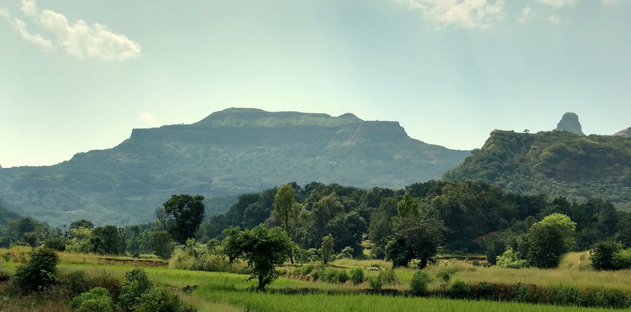
Bhairavgad Shirpunje Trek
Ahilyanagar (Ahmednagar), Maharashtra
Opens without signal on this phone, with the map file and checklist. Saved for offline →
- Max altitude
- 1,145 m
- Satellite terrain suggests about 1,250 m
- Days
- 1 day
- Distance
- 8 km
- Difficulty
- Moderate
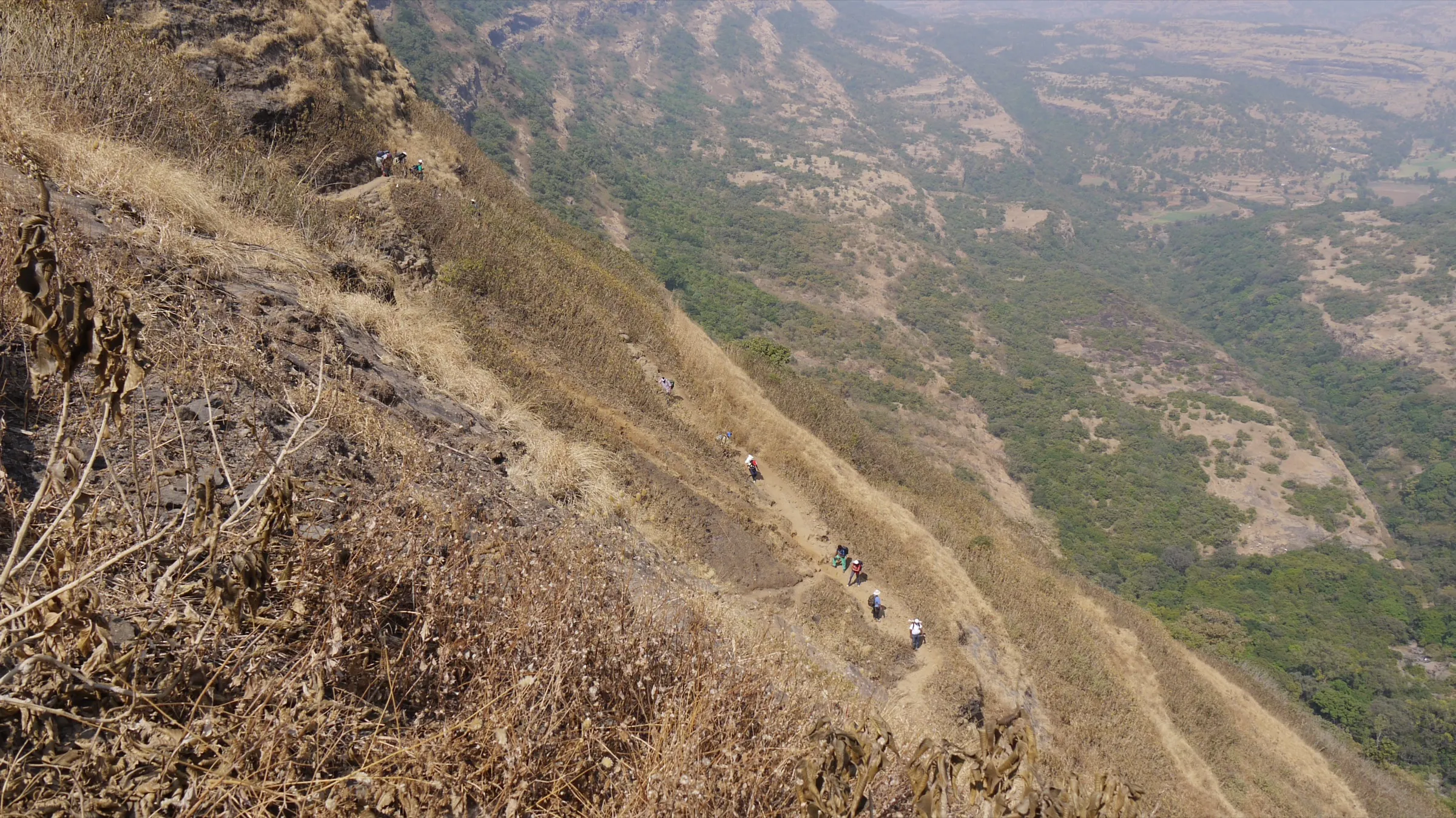
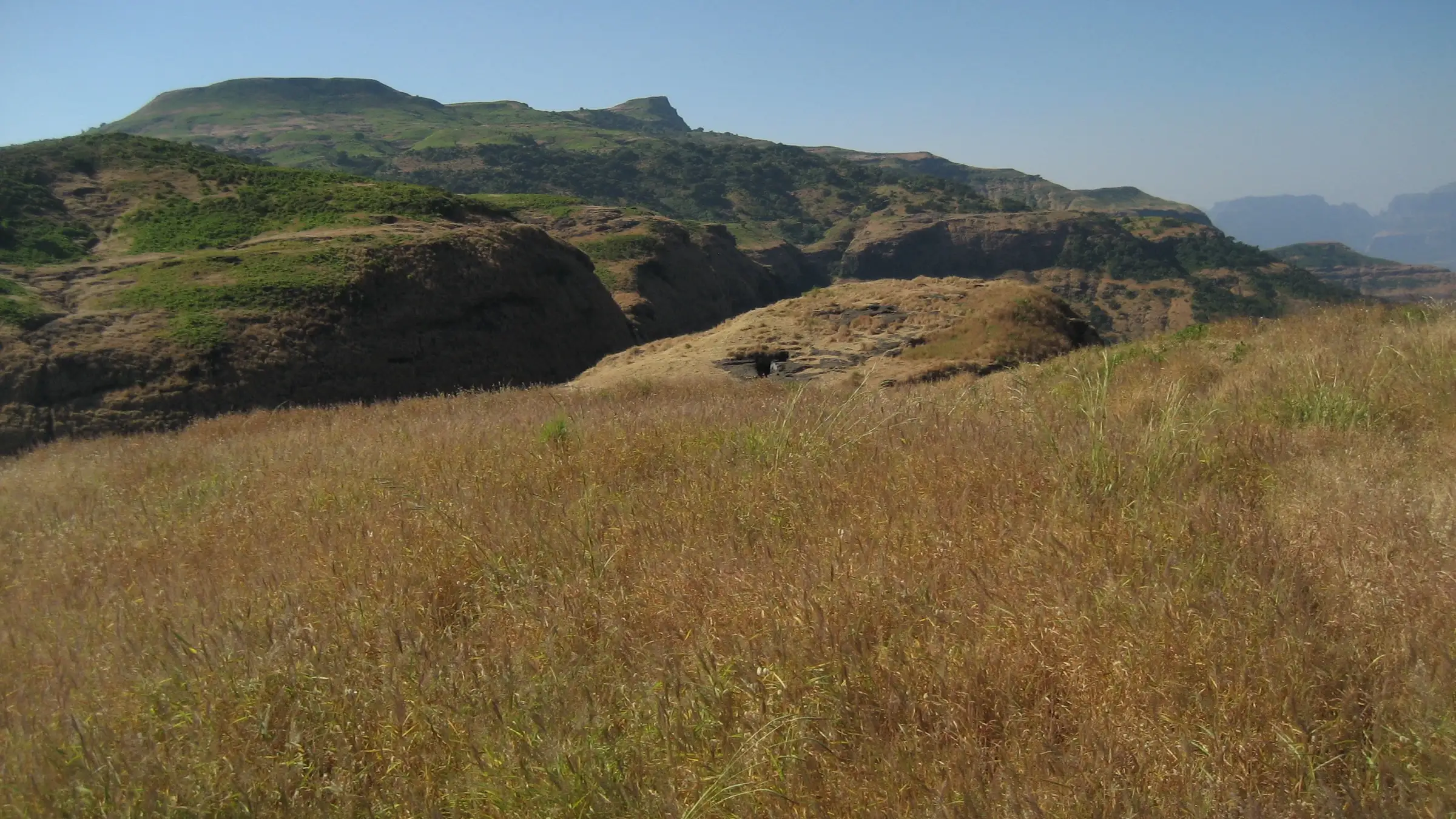
Operators grade it medium or moderate. The climb from Shirpunje is short (about 250 m of ascent, 1.5 to 2 hours) but steep, ending in rock-cut steps where the Forest Department has fixed iron railings at the exposed spots. The optional walk on to the foot of the Ghanchakkar ladders adds distance on a narrower ridge path.
Photos
On the trail
The route
Day by day
Day 1 · highest point
Shirpunje → Shirpunje (via Bhairavgad and the foot of the Ghanchakkar ladders)
900 m → 1,145 m → 900 m
Ups and downs
Altitude profile
Where it is
Map
Trailhead and high point only — not a recorded track. Use it with a proper map.
Weather
Next 5 days on the trail
Live forecast for the trailhead and the high point. Mountain weather changes fast — check again on the morning you start.
Trailhead · Shirpunje
at 900 mLoading forecast…
High point · Bhairavgad (Shirpunje) fort top
at 1,145 mLoading forecast…
Each day: high / low °C · rain mm and chance · snow cm · wind km/h
Weather data: Open-Meteo.comModel forecast, not an official warning. For alerts follow IMD and the local administration.
Plan the trip
How to reach
- Trailhead
- Shirpunje (nearest town: Rajur (Akole taluka))
- Nearest railway
- Kasara (used by operators from Mumbai); Igatpuri is the nearest mainline station
- Nearest airport
- Chhatrapati Shivaji Maharaj International Airport, Mumbai (Nashik airport is closer but has few flights)
- By road
- Mumbai via Kasara, Igatpuri, Ghoti and Bhandardara to Rajur, then about 27 km on to Shirpunje via Manikozhar, Khadki and Ambit; Pune via Alephata and Otur, or via Malshej Ghat, Otur, Kotul and Kothale to Ambit and Shirpunje; Kasara to Shirpunje by hired jeep takes operators about 4 hours at night; there is no regular public transport to the village
- Drive
- About 6 h from Mumbai
Plan the trip
Permits and fees
We could not confirm the current permit rules and fees from an official source. Check with the local forest department or tourism office before you go.
Plan the trip
Cost
Self-guided
₹600–2,500
With an operator
₹699–1,800
Per person, ex-Kasara or ex-Pune, as published on operator pages in October 2026. Trekhievers: ₹1,399 ex-Kasara or ₹699 from the base village (+5% GST). Treks and Trails India: ₹1,599 ex-Kasara by private jeep with breakfast and lunch (its overview text says ₹1,499). GAF (Giripremi Adventure Foundation): ₹1,800 incl. GST ex-Pune, with transport, meals and forest entry fees. Self-guided is an estimate: local train to Kasara and a share of a hired jeep to Shirpunje and back (no regular bus reaches the village), a village meal and, if you want one, a local guide. The fort lies in the Kalsubai–Harishchandragad Wildlife Sanctuary; operators list a forest entry fee, but we found no official rate, so check locally.
Gear
Top picks for this trek
The gear that matters most on this route, chosen from its altitude, season and risks.
 Ad · affiliate link
 Ad · affiliate link
 Ad · affiliate link
 Ad · affiliate link
- Ad · affiliate link
 Ad · affiliate link
 Ad · affiliate link
 Ad · affiliate link
Store buttons open a search on that store, not a product we picked. As an Amazon Associate we earn from qualifying purchases. Photos show the kind of item, not a specific product. Affiliate disclosure
Packing checklist
Matched to this trek: altitude, season, days and the risks on the route.
Packed 0 of 21
Monsoon months (Sep): pack everything in plastic or a dry bag and wear shoes with good grip.
Tick each item as it goes in the bag.
Know before you go
Good to know
- Mobile network
- Not reported by our sources; expect weak or no signal in the sanctuary and on the fort.
- Last ATM
- Not confirmed; carry cash from Rajur, Akole or Igatpuri.
- Nearest hospital
- Not confirmed; Shirpunje has a government health sub-centre (OpenStreetMap). For anything serious, Akole or Nashik.
- Water
- Water cisterns on the fort; Durgbharari counts 23, of which only two hold drinking water, and Wikipedia says one tank is potable. Operators ask you to carry 2–3 litres from the village.
Highlights
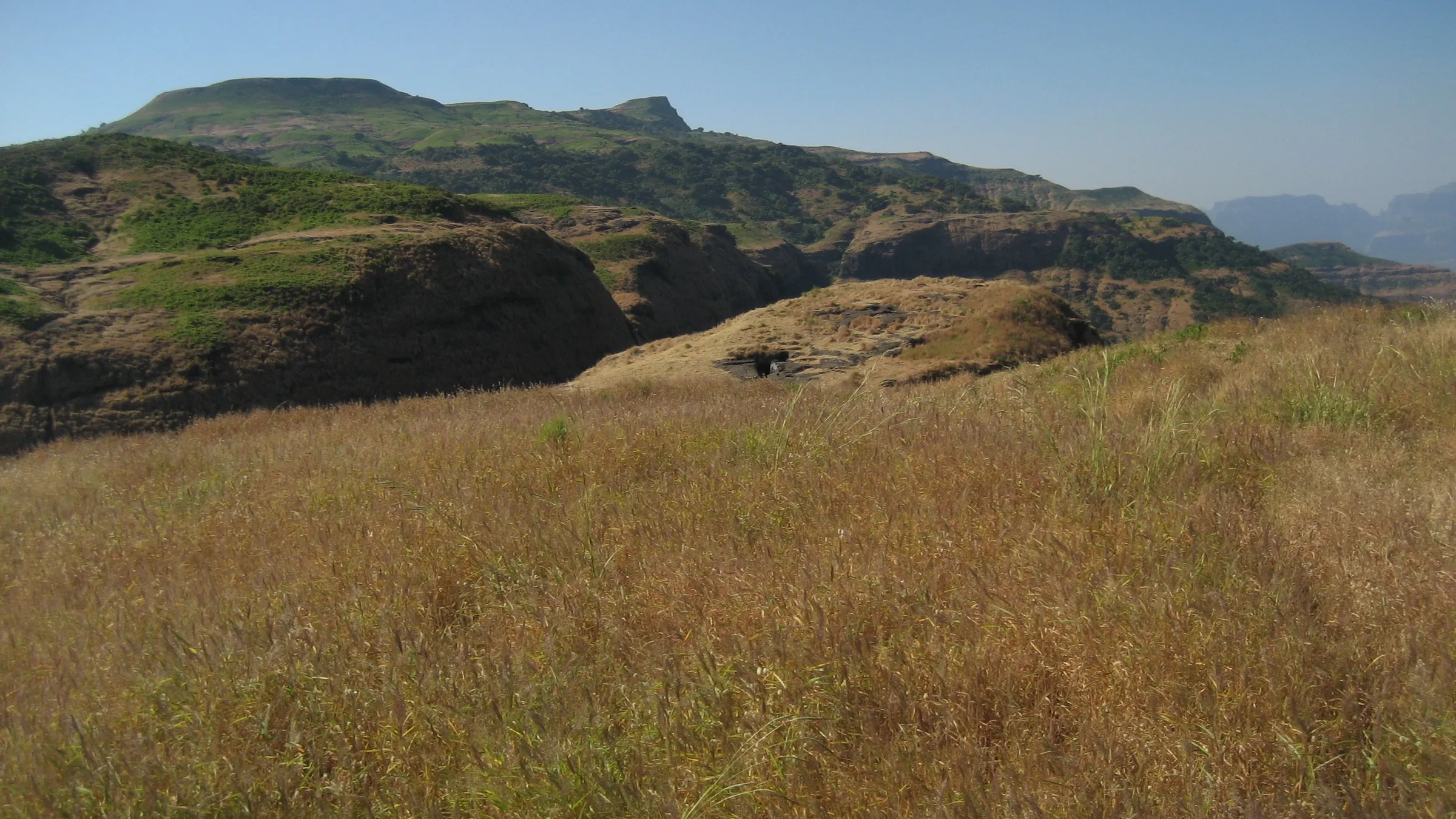
- Cave shrine of Bhagwan Bhairavnath with a five-foot carved equestrian murti, revered by the villages around; a yatra to Bhairoba is held every year around October
- Rock-cut steps, a ruined north-facing gateway, hero stones and a large pillared cistern (Jalkumbh) among about 23 rock-cut water cisterns
- Post-monsoon wildflower meadows on the slopes and the Ghanchakkar plateau
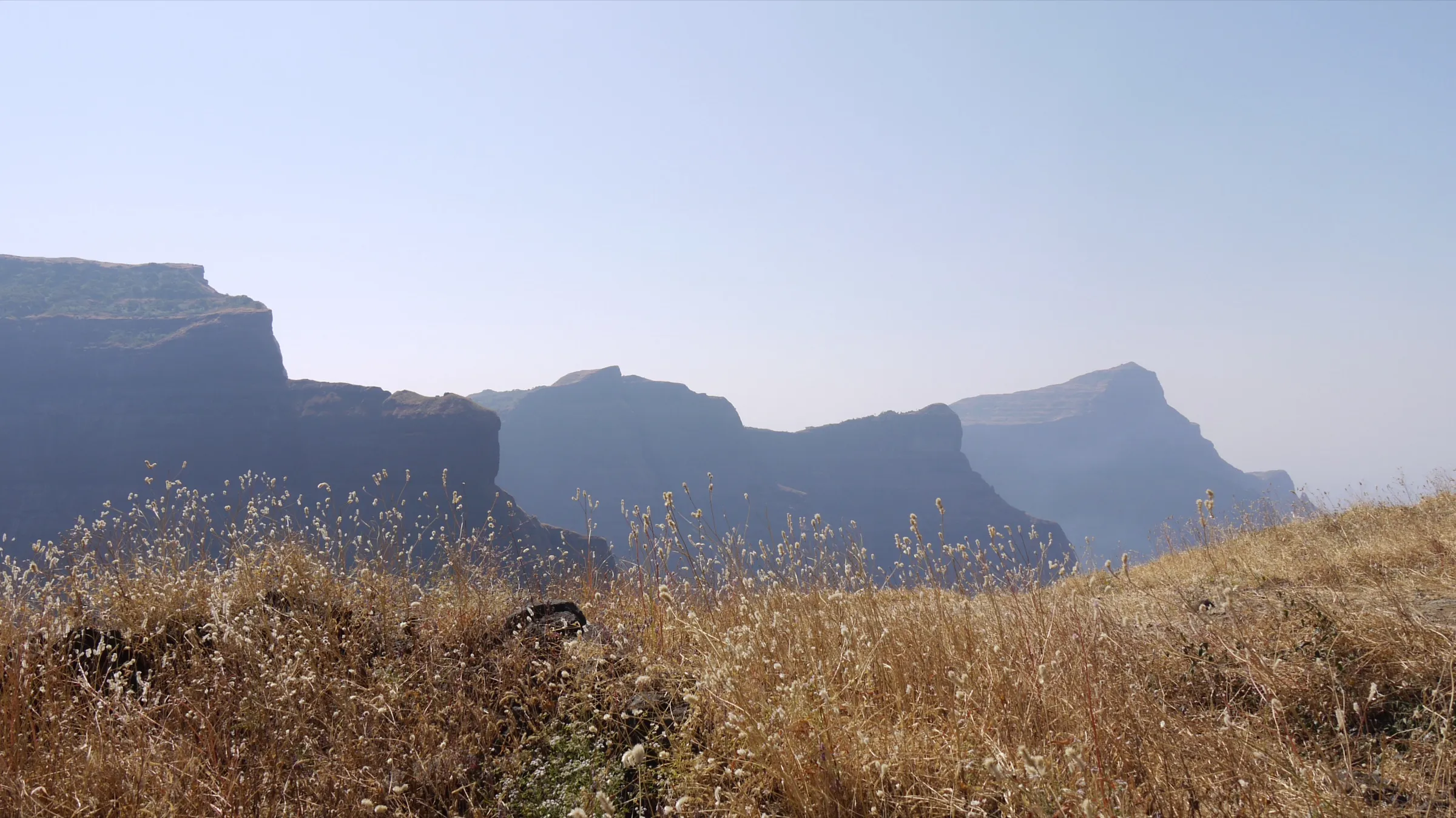
- Views of Ghanchakkar, Harishchandragad, Kunjargad and the Junnar forts, with Bhandardara lake to the north
- Option to continue to the Ghanchakkar ladders, Ghanchakkar peak, or a two-day range trek via Gawaldev and Katrabai to Ratangad
Risks
- Steep rock-cut steps near the top, with exposure; the Forest Department has fixed iron railings at the dangerous points. Some steps below the shrine cave are broken.
- Monsoon (June–August) makes the steep earth slope and rock steps slippery; most operators run this trek only after the rains, from September.
- The route to Ghanchakkar from the fort is a narrow, scree-covered traverse through bushes in places; a 2017 trip report describes anxious moments there and a fall on scree. Hire a local guide from Shirpunje if you go beyond the fort.
- Hot and exposed after mid-morning outside the monsoon; start at dawn.
- Wildlife sanctuary: leopards live in the area (operators mention sightings) and rock bee nests sit on the traverse; keep quiet near them.
- Do not confuse this fort with Bhairavgad near Moroshi (Malshej Ghat), Bhairavgad near Kothale (also in Akole) or Bhairavgad in Satara. The 1,523–1,532 m figures quoted online belong to Ghanchakkar, the neighbouring peak, not to this fort.
Know before you go
Questions
Where does the Bhairavgad Shirpunje trek start?
From Shirpunje village in Akole taluka, about 27 km from Rajur. Near the parking area an iron arch reading Shri Kshetra Bhairavnath Devasthan, Shirpunje marks the path. The fort can also be reached from Ambit village.
How long does the trek take and how far is it?
Treks and Trails India gives about 1.5 hours one way to the top; Trekhievers gives up to 3 hours one way and about 8 km in all, including a visit to the Ghanchakkar ladders. Operators plan 5 to 6 hours base to base.
Is the Bhairavgad Shirpunje trek good for beginners?
Operators rate it medium or moderate and say beginners with basic fitness can do it. The last section is steep rock-cut steps with railings, so go with a guide or group if you are new to Sahyadri forts.
When is the best time to visit Bhairavgad Shirpunje?
Just after the monsoon, in September and October, when the meadows flower; winter to February is also good. Operators run their batches in September and October, and GAF lists the season as monsoon and winter.
Can I stay on the fort?
Trekkers have used the larger cave next to the Bhairavnath shrine, which fits about ten people, and Treks and Trails India mentions camping on the fort. Groups have also stayed in the village temple at Shirpunje.
How high is Bhairavgad Shirpunje?
Treks and Trails India gives 1,145 m; Durgbharari gives 4,035 ft (about 1,230 m). Satellite terrain data reads about 1,250 m at the fort top. Ghanchakkar, the higher peak next to it, is about 1,532 m.
In an emergency
Save these numbers before you lose signal. Tap to call.
- 112All emergenciesIndia’s single emergency number — works in every state
- 108Ambulance
- 1077District disaster control room
You are in
District: Ahilyanagar (Ahmednagar)Maharashtra
- Nearest hospital
- Not confirmed; Shirpunje has a government health sub-centre (OpenStreetMap). For anything serious, Akole or Nashik.
- Last ATM
- Not confirmed; carry cash from Rajur, Akole or Igatpuri.
- Phone network
- Not reported by our sources; expect weak or no signal in the sanctuary and on the fort.
Before you set off
- Tell someone your route and when you will be back.
- Carry a charged phone and a power bank.
- Download an offline map of the route.
- Turn back if the weather turns bad — the mountain will wait.
Questions about Bhairavgad Shirpunje
No questions yet. Ask something and trekkers who have done it can answer.
Share your trek photo with #TreksAndTrails
I trekked this
Did Bhairavgad Shirpunje look different from this page? Tell us what changed and we will check it.
Where this comes from
Sources
Last reviewed:
- Bhairavgad Shirpunje Ghanchakkar Trek — Treks and Trails India
- Bhairavgad-Shirpunje | Durgbharari — Durgbharari (Suresh Nimbalkar)
- Bhairavgad Fort Trek Shripunje | Mumbai | Trekhievers — Trekhievers
- Shirpunje Bhairavgad & Ghanchakkar Plateau Trek (Ahilyanagar Chapter) — Giripremi Adventure Foundation (GAF)
- Bhairavgad (fort) — Wikipedia
- Ghanchakkar and Shirpunje Bhairavgad - Welcoming Summer of 2017 — Prashant Kothawade (blog)
- India: Maharashtra: Bhairavgadh (Shirpunje) - Ghanchakkar peaks loop hike (Wikiloc) — HikerPatrick.Com (Wikiloc GPS track)
Photos: pankajshirke, Public domain; Dinesh Valke from Thane, India, CC BY-SA 2.0