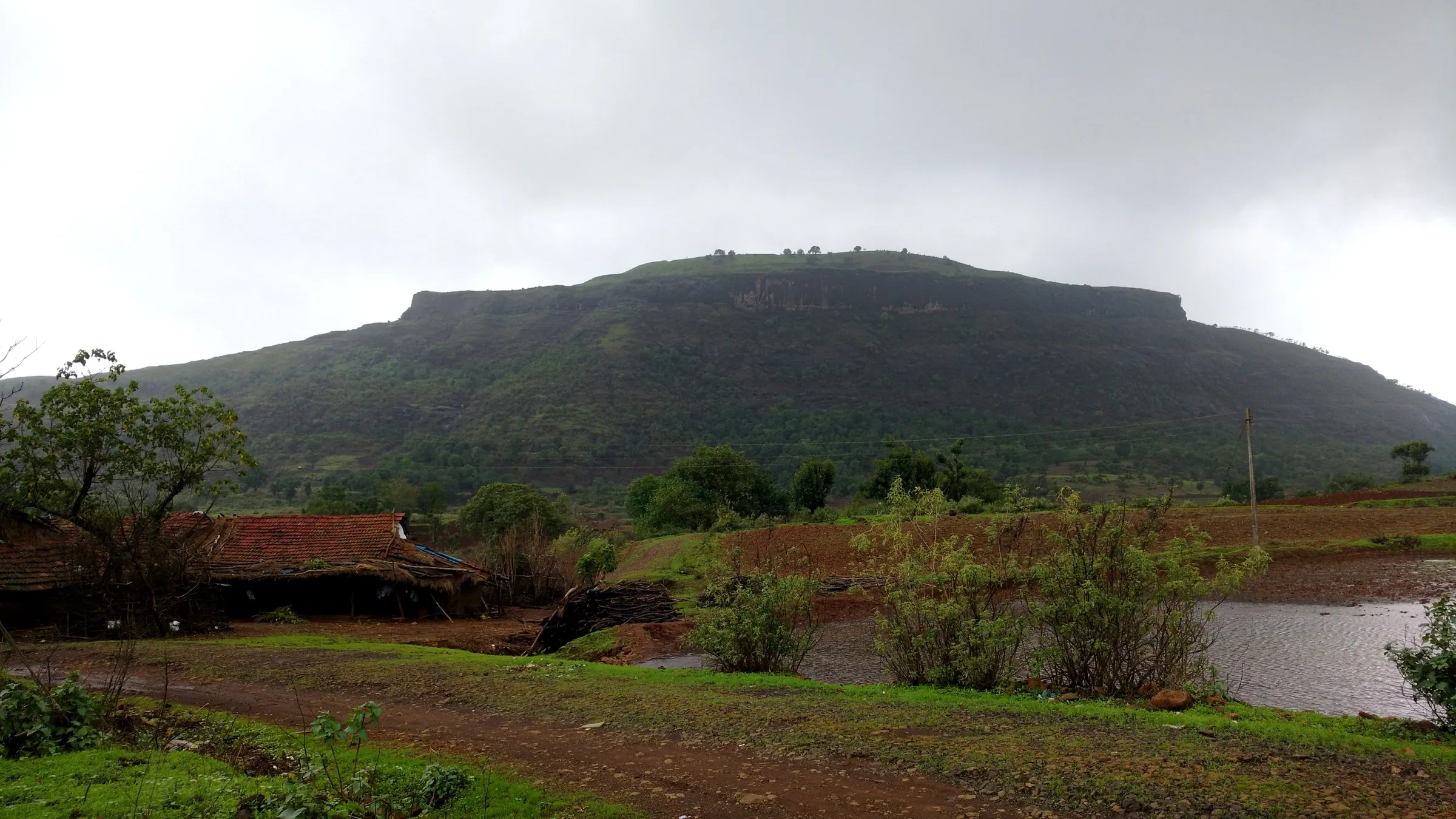
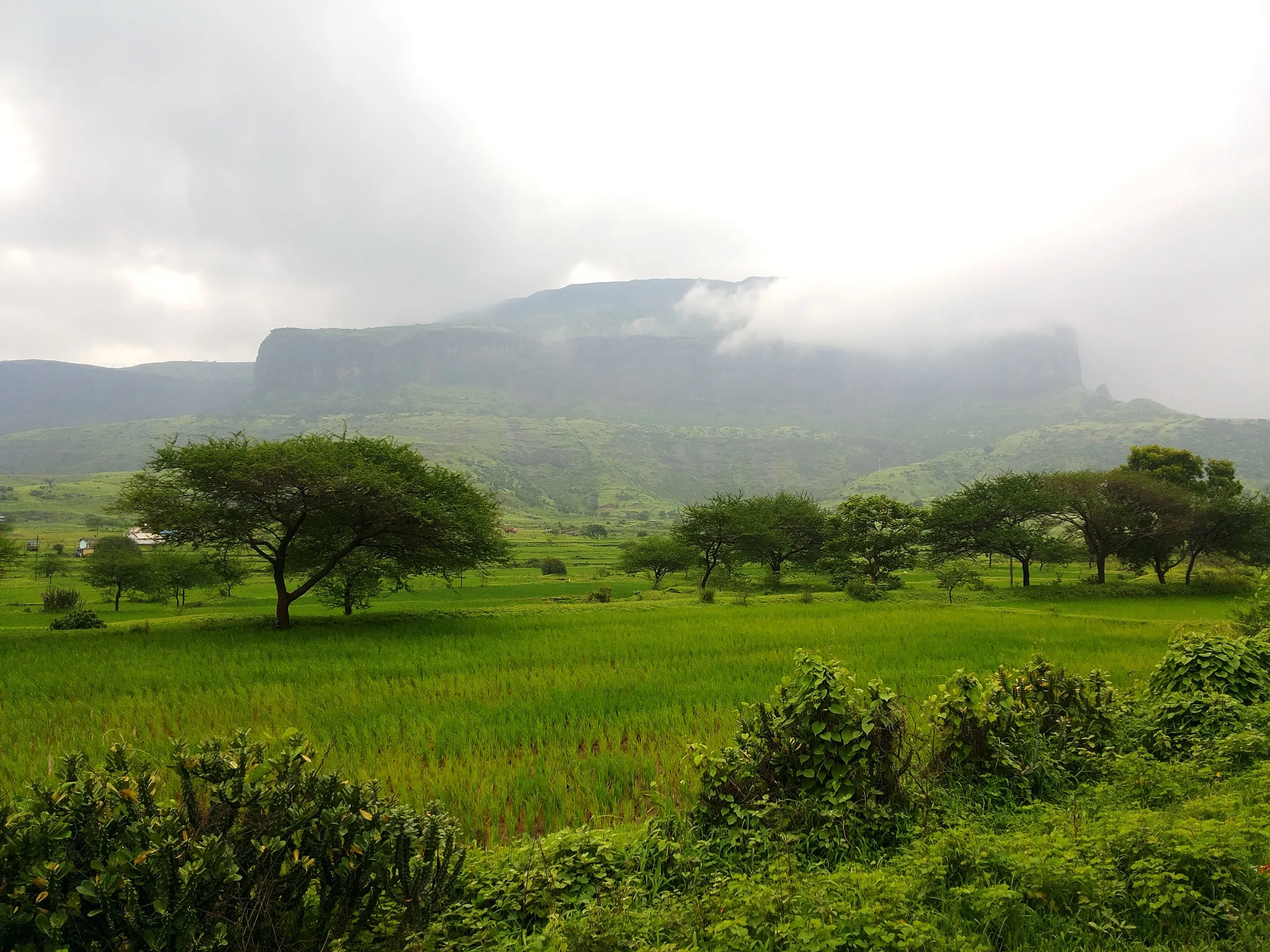
Kavnai Fort Trek
Nashik, Maharashtra
Opens without signal on this phone, with the map file and checklist. Saved for offline →
- Max altitude
- 890 m
- Days
- 1 day
- Distance
- 4 km
- Difficulty
- Moderate
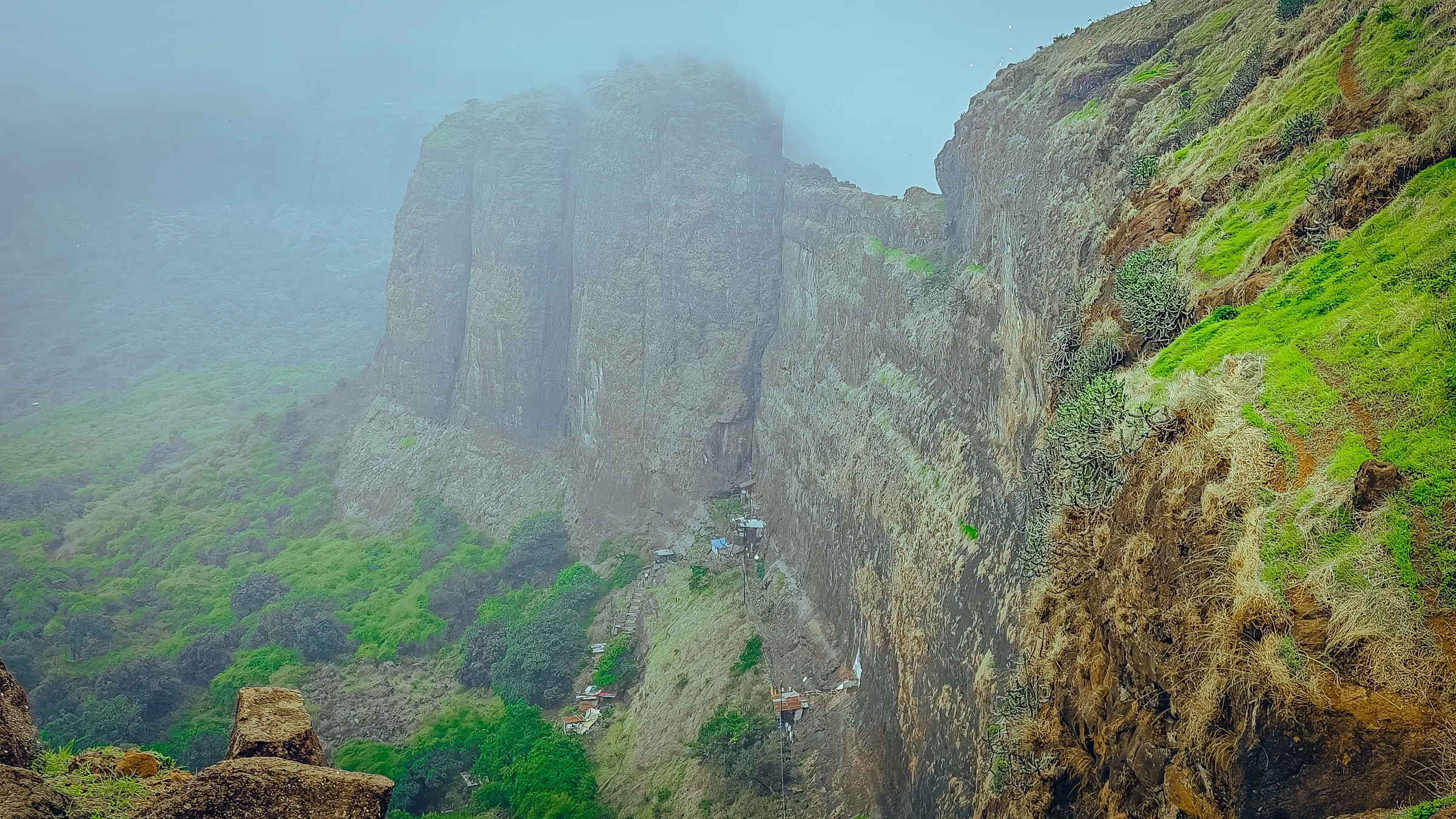
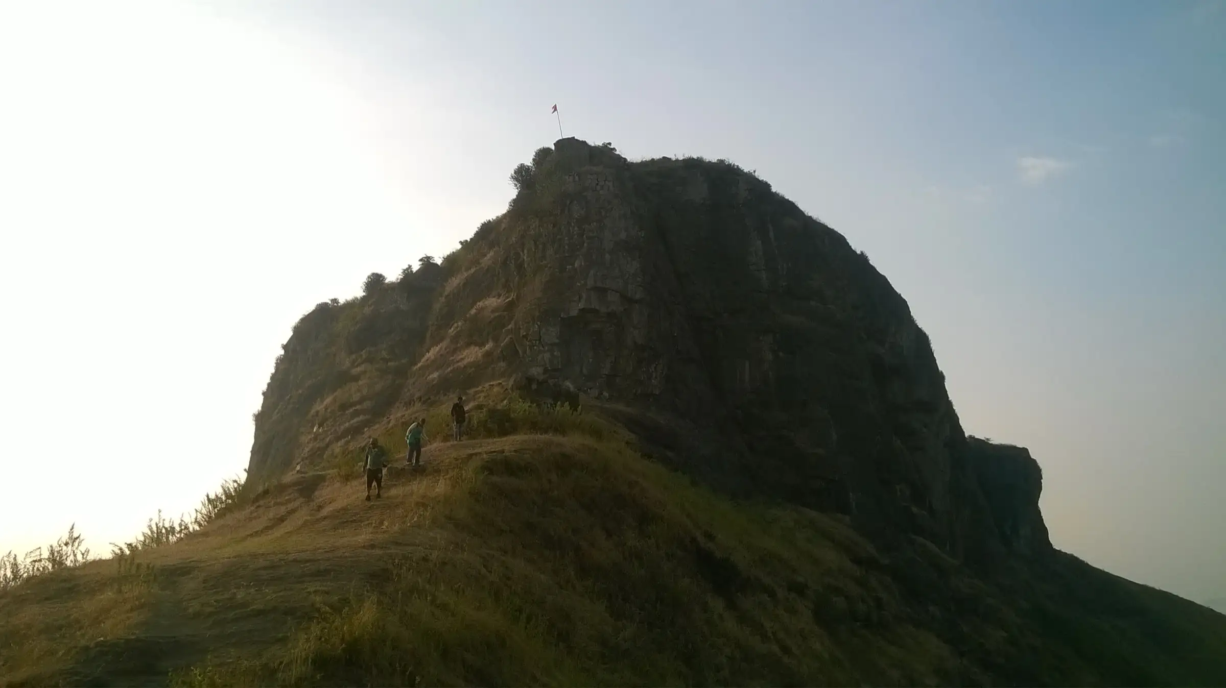
A short climb of about 1.5 hours on a single ridge path, but the final gully to the gate has worn rock-cut steps and a near-vertical iron ladder that becomes slippery in the monsoon.
Photos
On the trail
The route
Day by day
Day 1 · highest point
Kavnai village → Kavnai village (via Kavnai Fort top)
675 m → 890 m → 675 m
Ups and downs
Altitude profile
Where it is
Map
Trailhead and high point only — not a recorded track. Use it with a proper map.
Weather
Next 5 days on the trail
Live forecast for the trailhead and the high point. Mountain weather changes fast — check again on the morning you start.
Trailhead · Kavnai village
at 675 mLoading forecast…
High point · Kavnai Fort top
at 890 mLoading forecast…
Each day: high / low °C · rain mm and chance · snow cm · wind km/h
Weather data: Open-Meteo.comModel forecast, not an official warning. For alerts follow IMD and the local administration.
Plan the trip
How to reach
- Trailhead
- Kavnai village (nearest town: Igatpuri)
- Nearest railway
- Igatpuri (about 16-18 km)
- Nearest airport
- Chhatrapati Shivaji Maharaj International Airport, Mumbai (about 135 km)
- By road
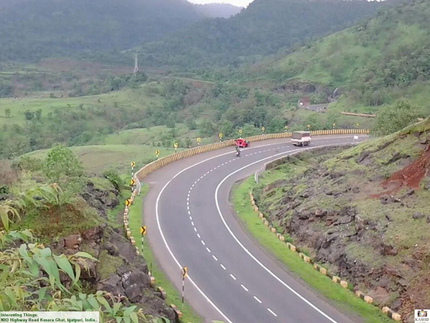
- Mumbai (about 140 km via the Mumbai-Nashik highway, Kasara, Igatpuri and Ghoti, then the Ghoti-Vaitarna road); Nashik (about 45 km via the Mumbai-Nashik highway and the Ghoti-Vaitarna road); Igatpuri (buses towards Upper Vaitarna stop at Kavnai; shared autos and taxis also run)
- Drive
- About 3.5 h from Mumbai
Plan the trip
Permits and fees
We could not confirm the current permit rules and fees from an official source. Check with the local forest department or tourism office before you go.
Plan the trip
Cost
Self-guided
₹400–1,200
With an operator
₹700–1,400
Per person, ex-Mumbai. Guided prices as published by operators (October 2026): Treks and Trails India ₹699 without transport or ₹1,299 with transport; Mischief Treks ₹750 reaching the base on your own or ₹1,400 with AC bus from Mumbai; T Trikon ₹1,099. Self-guided is an estimate: local train to Igatpuri or Kasara, a bus or shared auto to Kavnai, and a home-cooked meal arranged in the village.
Gear
Top picks for this trek
The gear that matters most on this route, chosen from its altitude, season and risks.
 Ad · affiliate link
 Ad · affiliate link
 Ad · affiliate link
 Ad · affiliate link
- Ad · affiliate link
 Ad · affiliate link
 Ad · affiliate link
 Ad · affiliate link
Store buttons open a search on that store, not a product we picked. As an Amazon Associate we earn from qualifying purchases. Photos show the kind of item, not a specific product. Affiliate disclosure
Packing checklist
Matched to this trek: altitude, season, days and the risks on the route.
Packed 0 of 21
Monsoon months (Aug–Sep): pack everything in plastic or a dry bag and wear shoes with good grip.
Tick each item as it goes in the bag.
Know before you go
Good to know
- Mobile network
- Indiahikes reports Jio and Airtel signal on the trail and on the fort top; operators describe coverage as limited.
- Last ATM
- Igatpuri
- Nearest hospital
- Rural Hospital, Igatpuri (about 20 km from Kavnai village)
- Water
- A rock-cut cistern on the fort top holds drinkable water until about March; the large pond and the built cistern are not for drinking. Carry at least 2 litres from the base.
Highlights
- A hidden gate reached through a narrow gully and an iron ladder, invisible until you are right below it
- A pond on the fort top beside the small temple of Kamakshi Mata, with Shivling and Nandi nearby
- Views of Harihar, Brahmagiri, Tringalwadi, Anjaneri and the Kalsubai range from the bastions
- Upper Vaitarna reservoir and the Kapildhara tirth seen from the ridge
- Short enough to combine with another Igatpuri fort or Kapildhara on the same day
Risks
- The last stretch to the gate is a near-vertical iron ladder over worn rock-cut steps; take it one person at a time and with care in rain.
- Monsoon rain makes the ridge path of loose rock and mud and the ladder slippery; wear trekking shoes with good grip.
- Indiahikes advises against summer: temperatures in the area reach about 39 °C by day, with little shade.
- Nashik district and the Forest Department have restricted or closed nearby forts (such as Harihar and Brahmagiri) in heavy monsoon spells; no order naming Kavnai was found, but check locally before a monsoon visit.
- Buses from Kavnai become infrequent after about 5 pm, so plan to finish early if you rely on public transport.
Know before you go
Questions
How long does the Kavnai Fort trek take?
About 3 hours in all. Indiahikes puts the climb from Kavnai village to the fort gate at about 45 minutes over 1.2 km, then about 30-60 minutes to see the fort top, and 30-40 minutes to come down. Group operators allow about 1.5 hours for the climb.
Is Kavnai Fort good for beginners?
Yes. Indiahikes rates it easy and other operators call it easy-moderate or medium. The only tricky section is the near-vertical iron ladder at the gate, which needs care, especially when wet.
Do I need permission to climb Kavnai Fort?
Indiahikes says no Forest Department permission is needed. We found no official notice for Kavnai, so check locally during the monsoon, when Nashik district sometimes restricts entry to forts and waterfalls.
What is the best time to visit Kavnai Fort?
August to November, when the hills are green and in flower and the air is clearing. Indiahikes says the trek can be done all year, with clear views from October to February; summer is very hot.
How do I reach Kavnai by public transport?
Take a local train from Mumbai to Igatpuri (about 2.5 hours), then a bus towards Upper Vaitarna and get off at Kavnai, about 16 km away. From Nashik, take a bus to Ghoti and a shared taxi or auto to Kavnai.
Can I camp on Kavnai Fort?
Indiahikes reports no restriction on camping: there is room for a few tents near the pond, and a cave just inside the gate holds 5-6 people.
In an emergency
Save these numbers before you lose signal. Tap to call.
- 112All emergenciesIndia’s single emergency number — works in every state
- 108Ambulance
- 1077District disaster control room
You are in
District: NashikMaharashtra
- Nearest hospital
- Rural Hospital, Igatpuri (about 20 km from Kavnai village)
- Last ATM
- Igatpuri
- Phone network
- Indiahikes reports Jio and Airtel signal on the trail and on the fort top; operators describe coverage as limited.
Before you set off
- Tell someone your route and when you will be back.
- Carry a charged phone and a power bank.
- Download an offline map of the route.
- Turn back if the weather turns bad — the mountain will wait.
Questions about Kavnai Fort
No questions yet. Ask something and trekkers who have done it can answer.
Share your trek photo with #TreksAndTrails
I trekked this
Did Kavnai Fort look different from this page? Tell us what changed and we will check it.
Where this comes from
Sources
Last reviewed:
- Kavnai Fort Trek - One of the Best Monsoon Treks for Beginners — Indiahikes
- Kavnai Fort Trek | One Day Trek from Nashik & Mumbai — Treks and Trails India
- Kavnai Fort Trek - Flower Special — Mischief Treks
- Kavnai — Durgbharari
- Kavnai fort — Wikipedia
Photos: Ccmarathe, CC BY-SA 3.0; Ccmarathe, CC BY-SA 3.0; Ccmarathe, CC BY-SA 3.0