Balwantgad Trek
Thane, Maharashtra
Opens without signal on this phone, with the map file and checklist. Saved for offline →
- Max altitude
- 578 m
- Days
- 1 day
- Distance
- 4 km
- Difficulty
- Easy
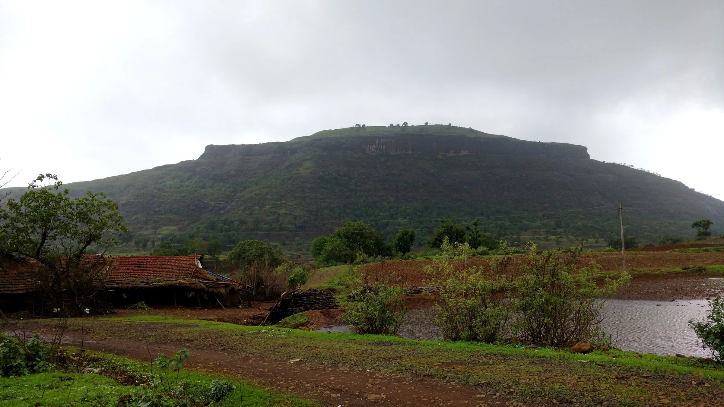
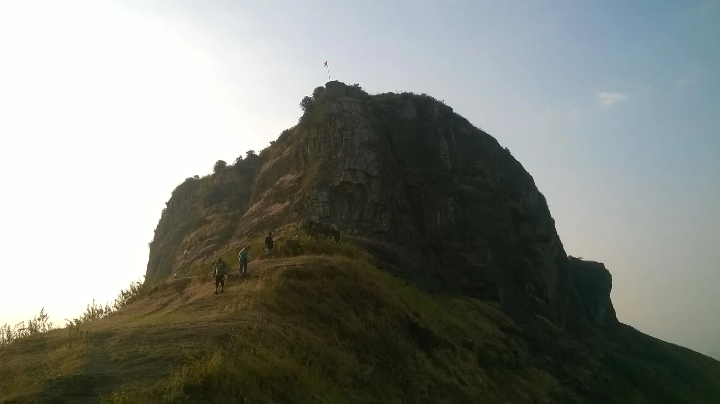
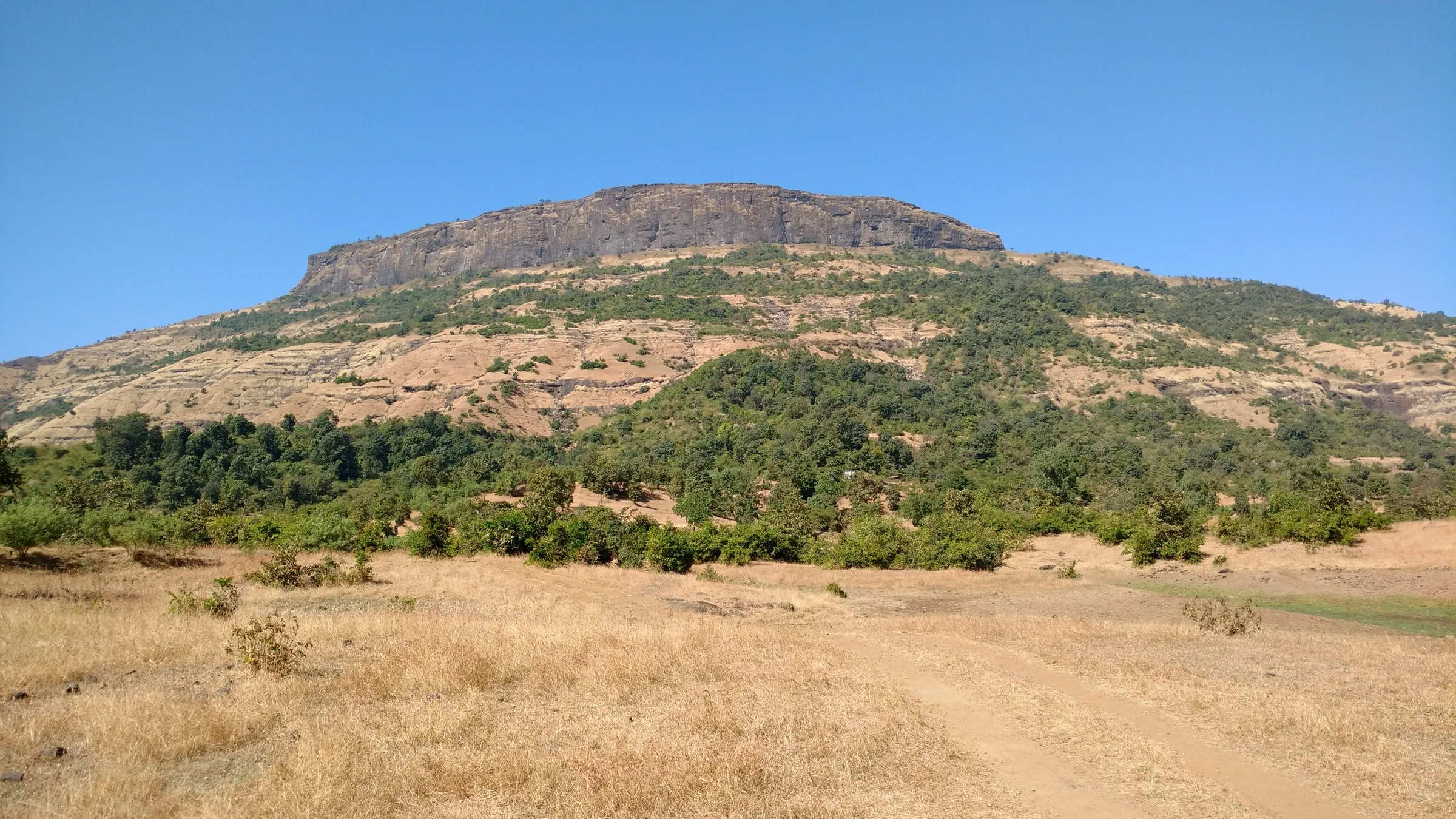
A short climb of under an hour on a small hill fort above the Kasara (Thal) Ghat; the only real difficulty is finding the unmarked turn-off from the Mal road.
Photos
On the trail
The route
Day by day
Day 1 · highest point
Mal Phata, Vihigaon → Mal Phata, Vihigaon (via Balwantgad Fort)
510 m → 578 m → 510 m
Ups and downs
Altitude profile
Where it is
Map
Trailhead and high point only — not a recorded track. Use it with a proper map.
Weather
Next 5 days on the trail
Live forecast for the trailhead and the high point. Mountain weather changes fast — check again on the morning you start.
Trailhead · Mal Phata, Vihigaon
at 510 mLoading forecast…
High point · Balwantgad Fort
at 578 mLoading forecast…
Each day: high / low °C · rain mm and chance · snow cm · wind km/h
Weather data: Open-Meteo.comModel forecast, not an official warning. For alerts follow IMD and the local administration.
Plan the trip
How to reach
- Trailhead
- Mal Phata, Vihigaon (nearest town: Kasara)
- Nearest railway
- Kasara (Central Railway suburban line from Mumbai)
- Nearest airport
- Chhatrapati Shivaji Maharaj International Airport, Mumbai
- By road
- Mumbai via the Mumbai–Nashik highway and Kasara Ghat to Vihigaon (about 110 km); Nashik via Ghatandevi to Vihigaon (about 55 km); Kasara station by shared jeep towards Mal village; ask to be dropped at Mal Phata or the trek start
- Drive
- About 3 h from Mumbai
Plan the trip
Permits and fees
We could not confirm the current permit rules and fees from an official source. Check with the local forest department or tourism office before you go.
Plan the trip
Cost
Self-guided
₹150–500
With an operator
₹500–1,500
Ex-Kasara. No trek operator was found selling Balwantgad as a guided trek in October 2026, so the guided range is an estimate for hiring a local guide from Vihigaon or Mal, not an operator price. Self-guided covers the Mumbai–Kasara local train, the shared jeep from Kasara towards Mal (Indiahikes' older report paid Rs 30 a head) and food.
Gear
Top picks for this trek
The gear that matters most on this route, chosen from its altitude, season and risks.
 Ad · affiliate link
 Ad · affiliate link
 Ad · affiliate link
 Ad · affiliate link
 Ad · affiliate link
 Ad · affiliate link
- Ad · affiliate link
 Ad · affiliate link
Store buttons open a search on that store, not a product we picked. As an Amazon Associate we earn from qualifying purchases. Photos show the kind of item, not a specific product. Affiliate disclosure
Packing checklist
Matched to this trek: altitude, season, days and the risks on the route.
Packed 0 of 16
Tick each item as it goes in the bag.
Know before you go
Good to know
- Mobile network
- Not confirmed by our sources; the fort overlooks the Mumbai–Nashik highway and the Kasara rail line, so some signal is likely.
- Last ATM
- Not confirmed; Kasara town is the nearest place to look for one.
- Nearest hospital
- Not confirmed by our sources; Kasara and Igatpuri are the nearest towns for medical help.
- Water
- None on the fort. The rock-cut cistern is silted and does not hold water (Durgbharari), and Indiahikes found it empty. Carry all your water.
Highlights
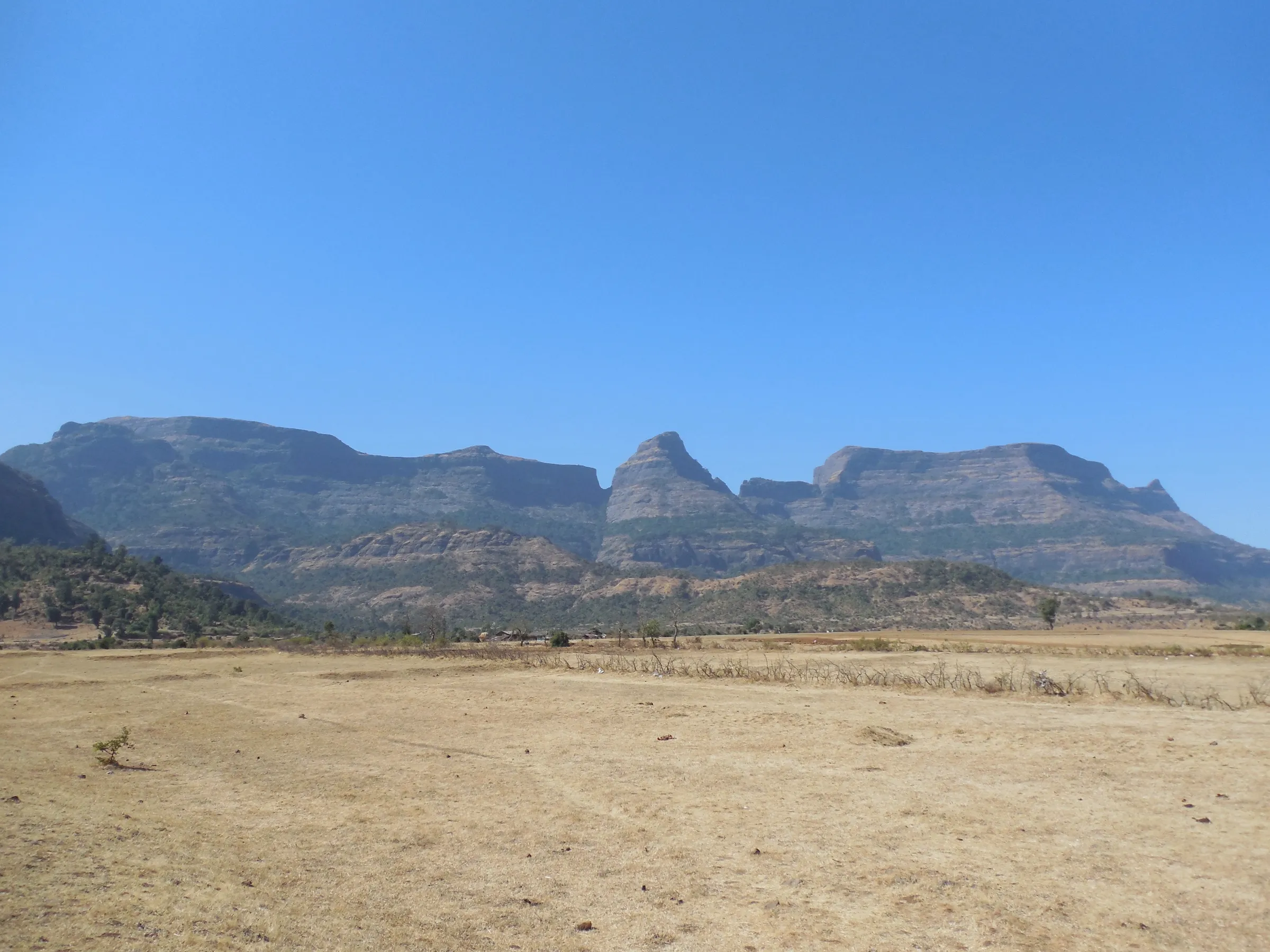
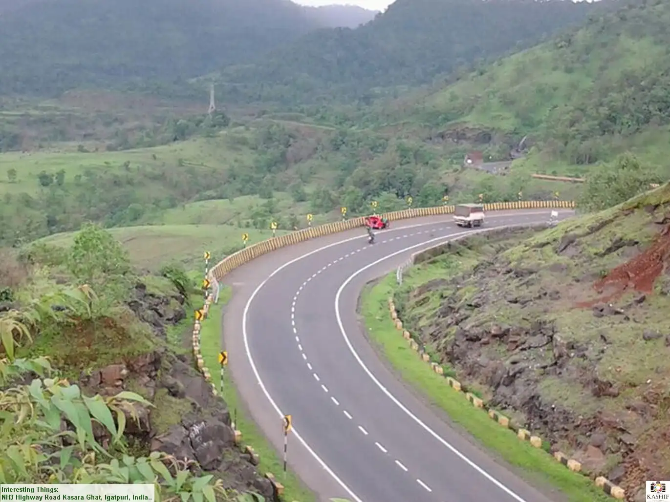
- A small watchtower fort guarding the old Thal Ghat, today's Kasara Ghat, on the trade route from Nashik to the Konkan ports
- Views of the Kasara Ghat railway inclines and tunnels, the Mumbai–Nashik highway and Kasara village from the western bastion
- Kalsubai, the highest peak in Maharashtra, is visible from the top on clear days
- Ramparts in fair condition with bastions at the east and west ends, a ruined gateway and a rock-cut cistern
- A murti of Bhagwan Hanuman (Maruti) holding a sword and a gada, with a small Shivling and Nandi before him
Risks
- The turn-off from the Mal road is unmarked and easy to miss (both Indiahikes and Durgbharari note it); carry an offline map.
- No water anywhere on the fort; dehydration is a real risk from March to May.
- In the monsoon the grassy slope and collapsed rampart entry turn slippery. On 6 July 2026 the Thane Collector banned entry to all tourist spots, forts and water bodies in the district 'until further notice' under the Disaster Management Act; check whether such an order is in force before a monsoon visit.
- The fort is unmaintained and has no facilities, signage or shade on top.
Know before you go
Questions
How long does it take to climb Balwantgad?
It is a short climb. Indiahikes' trekkers reached the top in about 45 minutes from the start near Mal Phata, and Durgbharari says you enter the fort about 10 minutes after leaving the road on the footpath. About half an hour is enough to walk around the whole fort.
How do I reach Balwantgad from Mumbai by train?
Take a Central Railway local to Kasara, then a shared jeep from outside Kasara station towards Mal village. Ask the driver to drop you at Mal Phata or at the trek start, as Indiahikes describes. By road, Vihigaon is about 110 km from Mumbai via the Khodala fork in Kasara Ghat.
Is there water on Balwantgad fort?
No. The only water source is a large rock-cut cistern, and it is broken and filled with soil and rocks, so it holds no water. Carry all the water you need.
Where is Balwantgad and what is its height?
Balwantgad stands on a small hill in front of the Kasara (Thal) Ghat near Vihigaon in Thane district. Durgbharari gives its height as 1,896 ft (about 578 m), which matches satellite terrain of about 563 m at the fort.
Is Balwantgad an easy trek for beginners?
Yes. Durgbharari grades it easy and Indiahikes calls it an easy trek. The main challenge is finding the unmarked path off the Mal road.
In an emergency
Save these numbers before you lose signal. Tap to call.
- 112All emergenciesIndia’s single emergency number — works in every state
- 108Ambulance
- 1077District disaster control room
You are in
District: ThaneMaharashtra
- Nearest hospital
- Not confirmed by our sources; Kasara and Igatpuri are the nearest towns for medical help.
- Last ATM
- Not confirmed; Kasara town is the nearest place to look for one.
- Phone network
- Not confirmed by our sources; the fort overlooks the Mumbai–Nashik highway and the Kasara rail line, so some signal is likely.
Before you set off
- Tell someone your route and when you will be back.
- Carry a charged phone and a power bank.
- Download an offline map of the route.
- Turn back if the weather turns bad — the mountain will wait.
Questions about Balwantgad
No questions yet. Ask something and trekkers who have done it can answer.
Share your trek photo with #TreksAndTrails
I trekked this
Did Balwantgad look different from this page? Tell us what changed and we will check it.
Where this comes from
Sources
Last reviewed:
- Balwantgad Trek (documented trek by Karan Chawda) — Indiahikes
- Balvantgad — Durgbharari
- Thane bans entry to tourist spots, forts, and water bodies amid heavy rain forecasts — Deccan Herald
Photos: Kashif Pathan, CC BY-SA 2.0; Unknown author (The Locomotive Magazine, 1924), Public domain