Ajoba Trek
Thane, Maharashtra
Opens without signal on this phone, with the map file and checklist. Saved for offline →
- Max altitude
- 820 m
- Days
- 1 day
- Distance
- 12.5 km
- Difficulty
- Moderate
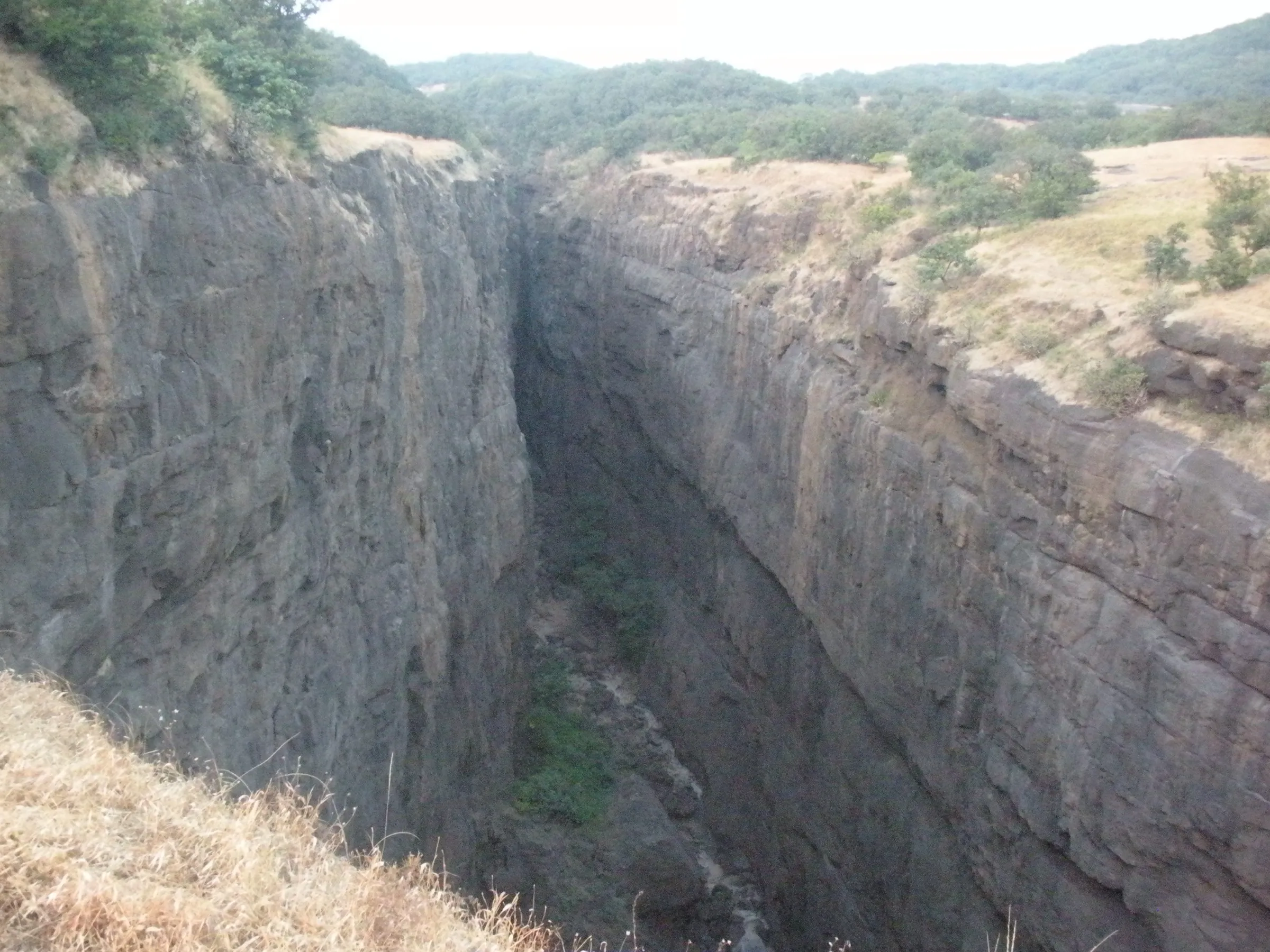
A long day of about 12.5 km and 8 hours: an easy forest walk of about 4 km to Valmiki Ashram, then a steep climb up a stream and waterfall gully with iron railings and ladders to the Lav-Kush cave. The cone above the cave needs climbing skill and gear and is not part of this trek.
Photos
On the trail
The route
Day by day
Day 1 · highest point
Dehene → Dehene (via Valmiki Ashram and the Lav-Kush cave)
190 m → 820 m → 190 m
Ups and downs
Altitude profile
Where it is
Map
Trailhead and high point only — not a recorded track. Use it with a proper map.
Weather
Next 5 days on the trail
Live forecast for the trailhead and the high point. Mountain weather changes fast — check again on the morning you start.
Trailhead · Dehene (Dehne)
at 190 mLoading forecast…
High point · Lav-Kush cave (Sitecha Palna) on Ajobagad
at 820 mLoading forecast…
Each day: high / low °C · rain mm and chance · snow cm · wind km/h
Weather data: Open-Meteo.comModel forecast, not an official warning. For alerts follow IMD and the local administration.
Plan the trip
How to reach
- Trailhead
- Dehene (Dehne) (nearest town: Shahapur)
- Nearest railway
- Asangaon (Central Railway suburban line towards Kasara)
- Nearest airport
- Chhatrapati Shivaji Maharaj International Airport, Mumbai
- By road
- Mumbai (about 114 km via Thane, Asangaon, Shahapur, Dolkhamb and Sakurli); Mumbai (about 125 km via Kalyan, Murbad, Malshej Ghat, Dolkhamb and Sakurli); Asangaon station: shared auto to Shahapur, ST bus to Dolkhamb, then an infrequent bus or hired jeep to Dehene
- Drive
- About 3 h from Mumbai
Plan the trip
Permits and fees
We could not confirm the current permit rules and fees from an official source. Check with the local forest department or tourism office before you go.
Plan the trip
Cost
Self-guided
₹300–800
With an operator
₹1,000–1,500
Per person, ex-Asangaon. Treks and Trails India lists ₹1,000 for the one-day trek, including Asangaon–Dehne transport, breakfast and evening tea (lunch not included); we found no second operator's current price, so the upper end is an estimate. Self-guided is an estimate from Tripoto's published fares (Mumbai–Asangaon local train ₹25, shared auto to Shahapur ₹15, ST bus to Dolkhamb ₹45) plus the last leg to Dehene, food and a share of a jeep if buses don't fit.
Gear
Top picks for this trek
The gear that matters most on this route, chosen from its altitude, season and risks.
 Ad · affiliate link
 Ad · affiliate link
 Ad · affiliate link
 Ad · affiliate link
 Ad · affiliate link
- Ad · affiliate link
 Ad · affiliate link
 Ad · affiliate link
Store buttons open a search on that store, not a product we picked. As an Amazon Associate we earn from qualifying purchases. Photos show the kind of item, not a specific product. Affiliate disclosure
Packing checklist
Matched to this trek: altitude, season, days and the risks on the route.
Packed 0 of 23
Monsoon months (Sep): pack everything in plastic or a dry bag and wear shoes with good grip.
Tick each item as it goes in the bag.
Know before you go
Good to know
- Mobile network
- Not confirmed. Expect weak or no signal on the upper trail; tell someone your plan before leaving Dehene.
- Last ATM
- Not confirmed; Shahapur is the nearest town. Carry cash from Mumbai or Asangaon.
- Nearest hospital
- Not confirmed; Shahapur for first care, Thane or Mumbai for serious cases.
- Water
- A spring near the samadhi temple at Valmiki Ashram flows all year and is used for drinking; there is no food on the trail. Carry about 3 litres and treat water.
Highlights
- Valmiki Ashram with the samadhi temple of Maharshi Valmiki, deep in forest at the foot of Ajobagad
- Hero stones (viragal) carved on all four sides and a dhenugal beside the ashram
- The Lav-Kush cave, called Sitecha Palna (Mata Sita's cradle), with padukas of Lav and Kush carved in the rock
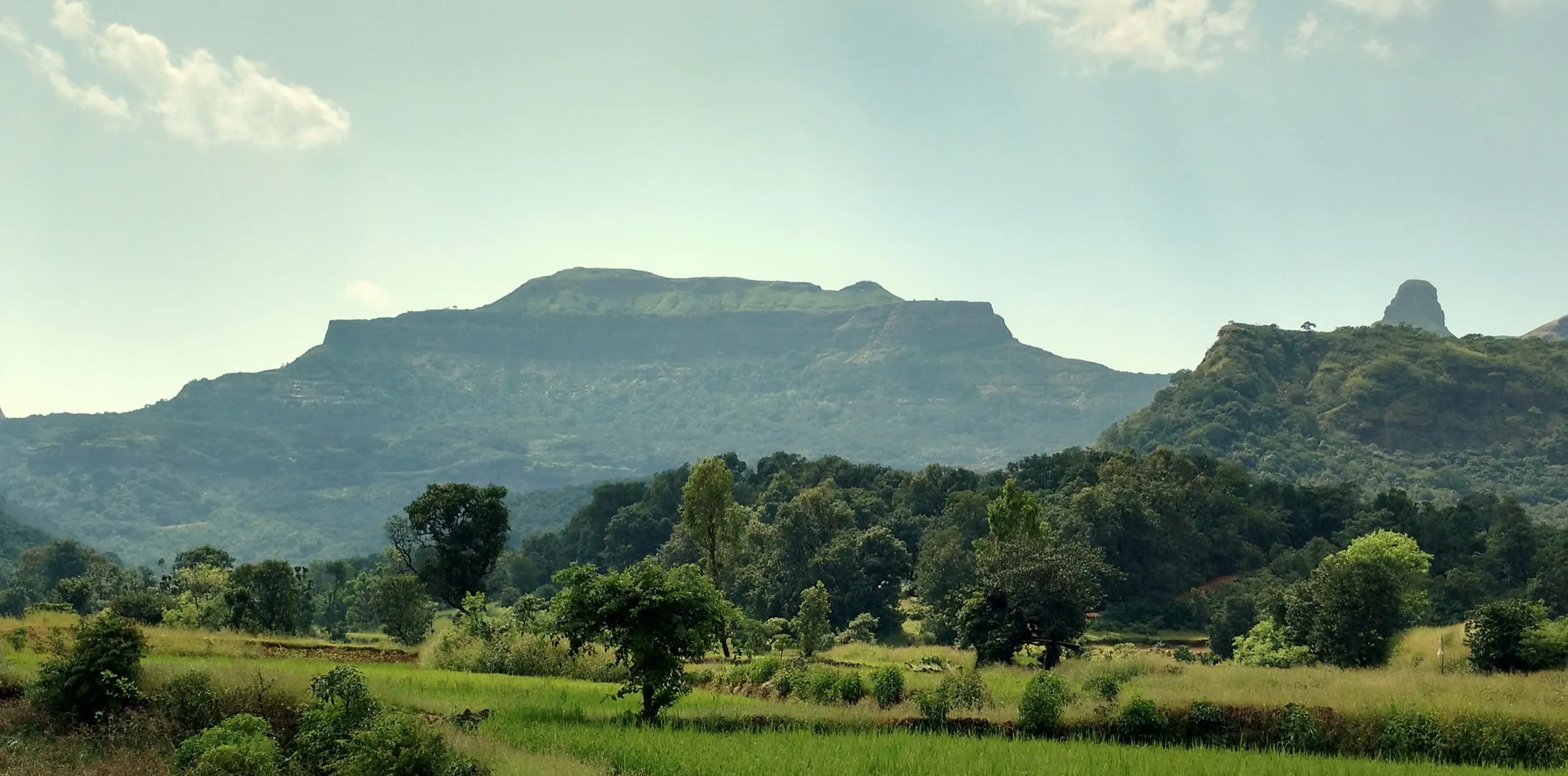
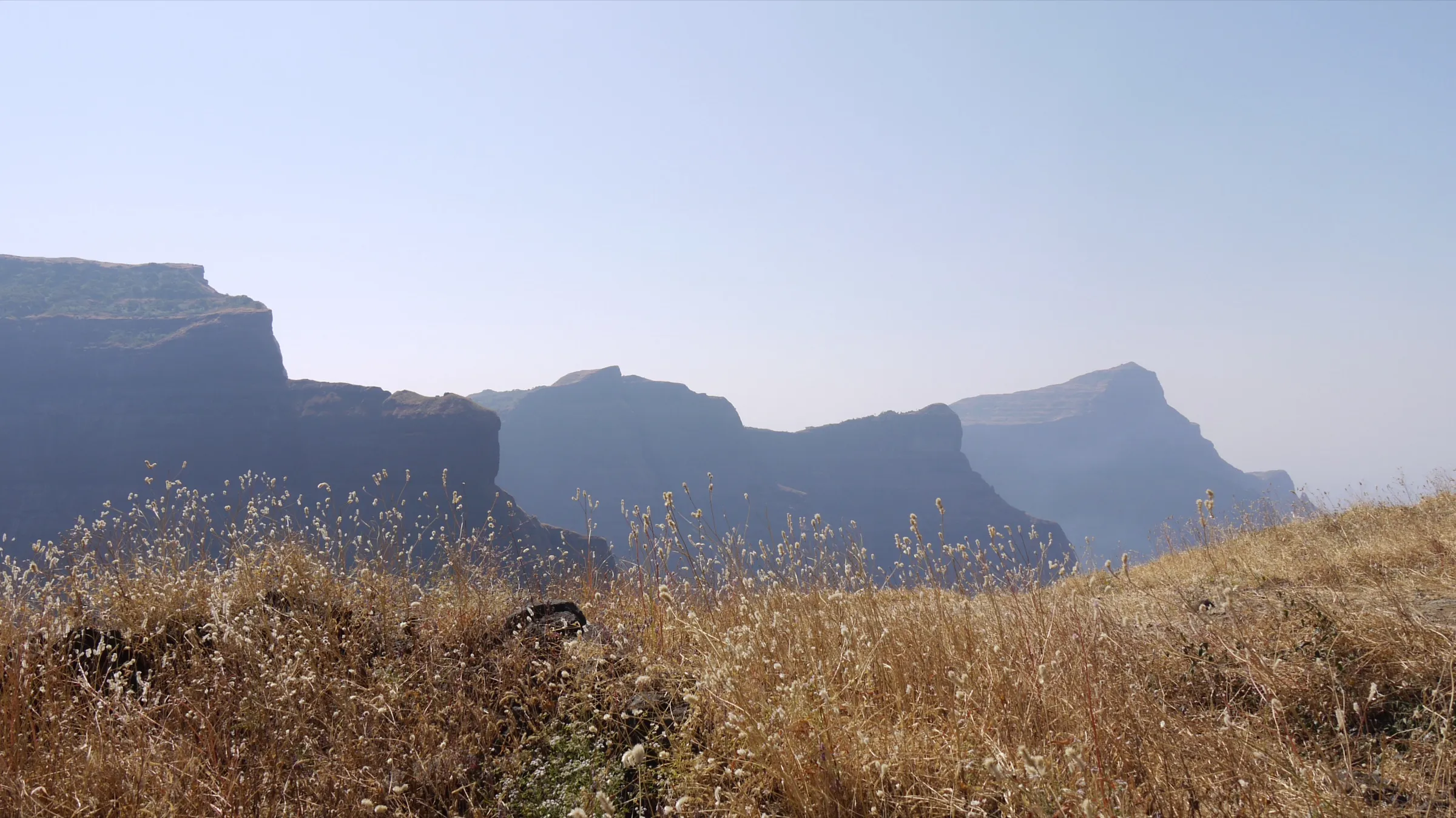
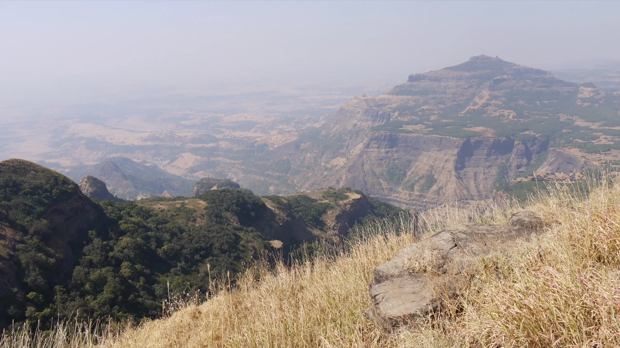
- One of the highest hills of the Sahyadri, with Ratangad, Alang–Madan–Kulang and Harishchandragad around it
- An easy day from Mumbai by local train to Asangaon
Risks
- Above Valmiki Ashram the path climbs a steep stream and waterfall gully with iron railings and ladders; it is slippery and risky in the monsoon, when the stream can rise fast.
- The rock cone above the Lav-Kush cave needs rock-climbing technique and equipment; do not attempt it without them.
- In monsoon the Thane Collector can ban entry to forts and water bodies; a district order of 6 July 2026 closed all tourist spots until further notice.
- Snakes are reported on the hill; watch your step, especially in the wet months.
- Buses from Dolkhamb to Dehene are infrequent; plan the return so you are off the hill before dark.
Know before you go
Questions
Is the Ajoba trek suitable for beginners?
The walk to Valmiki Ashram is easy, about 4 km through forest. The climb from the ashram to the Lav-Kush cave takes about 1 to 1.5 hours up a steep gully with railings, so fit beginners can do it in dry weather, ideally with a group. The whole day is about 12.5 km.
How do I reach Dehene, the base village, from Mumbai?
Take a Kasara-bound local train to Asangaon (about 70 km from Mumbai), a shared auto to Shahapur, an ST bus to Dolkhamb, then a bus or jeep to Dehene. By road it is about 114 km via Shahapur, or 125 km via Kalyan, Murbad and Malshej Ghat.
Can I reach the summit of Ajoba from Dehene?
The Dehene route reaches the ashram and the Lav-Kush cave on the fort's shoulder. The path up the rock cone above the cave needs climbing technique and equipment. The summit plateau with its water tanks is usually reached from Kumshet village on the Rajur side.
What is the significance of Valmiki Ashram on Ajoba?
Local tradition holds that Maharshi Valmiki composed the Ramayana here and that Mata Sita gave birth to Lav and Kush here. Lav and Kush called Maharshi Valmiki 'Ajoba' (grandfather), which gives the hill its name. The ashram has his samadhi temple, and the cave above has padukas of Lav and Kush.
Is there water and shelter on the trek?
A spring near the samadhi temple at the ashram flows all year. A dharmashala at the ashram can shelter about 20 people, but it is poorly kept. No food is sold, so carry lunch and about 3 litres of water.
In an emergency
Save these numbers before you lose signal. Tap to call.
- 112All emergenciesIndia’s single emergency number — works in every state
- 108Ambulance
- 1077District disaster control room
You are in
District: ThaneMaharashtra
- Nearest hospital
- Not confirmed; Shahapur for first care, Thane or Mumbai for serious cases.
- Last ATM
- Not confirmed; Shahapur is the nearest town. Carry cash from Mumbai or Asangaon.
- Phone network
- Not confirmed. Expect weak or no signal on the upper trail; tell someone your plan before leaving Dehene.
Before you set off
- Tell someone your route and when you will be back.
- Carry a charged phone and a power bank.
- Download an offline map of the route.
- Turn back if the weather turns bad — the mountain will wait.
Questions about Ajoba
No questions yet. Ask something and trekkers who have done it can answer.
Share your trek photo with #TreksAndTrails
I trekked this
Did Ajoba look different from this page? Tell us what changed and we will check it.
Where this comes from
Sources
Last reviewed:
- Ajoba Hills Trek — Treks and Trails India (treksandtrails.org)
- Aajoba — Durgbharari
- आजोबागड — Marathi Wikipedia
- Ajoba Mountain Trekking, Shahpur, Maharashtra — Tripoto (trip report)
- 8 treks that your kids will love (Ajoba) — Outlook Traveller
- This Quaint Village Outside Mumbai Makes For A Perfect Rainy Day Getaway — Homegrown
- Thane bans entry to tourist spots, forts, and water bodies amid heavy rain forecasts — Deccan Herald
Photos: Dinesh Valke, CC BY-SA 2.0; Dinesh Valke, CC BY-SA 2.0