Sindola Fort Trek
Pune, Maharashtra
Opens without signal on this phone, with the map file and checklist. Saved for offline →
- Max altitude
- 1,122 m
- Days
- 1 day
- Distance
- 3 km
- Difficulty
- Moderate
Short, but Vagabond Experiences grades it moderate-difficult and Durgbharari medium: a narrow ridge walk where only one person can pass at a time, a hillside traverse, broken rock-cut steps in a gully and a final scramble to the top. Tripoto advises having a few treks behind you first.
Photos
On the trail
The route
Day by day
Day 1 · highest point
Karanjale village → Karanjale village
720 m → 1,122 m → 720 m
Ups and downs
Altitude profile
Where it is
Map
Trailhead and high point only — not a recorded track. Use it with a proper map.
Weather
Next 5 days on the trail
Live forecast for the trailhead and the high point. Mountain weather changes fast — check again on the morning you start.
Trailhead · Karanjale (Karjale) village, Malshej Ghat road
at 720 mLoading forecast…
High point · Sindola Fort summit
at 1,122 mLoading forecast…
Each day: high / low °C · rain mm and chance · snow cm · wind km/h
Weather data: Open-Meteo.comModel forecast, not an official warning. For alerts follow IMD and the local administration.
Plan the trip
How to reach
- Trailhead
- Karanjale (Karjale) village, Malshej Ghat road (nearest town: Madh (Junnar taluka))
- Nearest railway
- Kalyan Junction (Central Railway), about 2.5 hours by road
- Nearest airport
- Chhatrapati Shivaji Maharaj International Airport, Mumbai (Pune airport is the alternative)
- By road
- Kalyan to Karanjale Phata by MSRTC bus towards Ahmednagar over Malshej Ghat (TrekUp India quotes about Rs 70–80); get off at the Karanjale village board; Mumbai to Karanjale via Thane, Kalyan and Murbad on the Kalyan–Ahmednagar road (NH61), about 135 km; From Junnar side via Madh–Pargaon, joining the same spur to the fort
- Drive
- About 4 h from Mumbai
Plan the trip
Permits and fees
We could not confirm the current permit rules and fees from an official source. Check with the local forest department or tourism office before you go.
Plan the trip
Cost
Self-guided
₹250–700
With an operator
₹1,470–1,680
Per person. Guided: only one operator listing found — Vagabond Experiences' Sindola night trek, ex-Mumbai (CSMT) with train, Kalyan–Karanjale jeep, lunch and guide, Rs 1,600 + 5% GST (Rs 1,400 + GST for repeat guests); its page last updated January 2025 and showed no upcoming batches. Self-guided estimate, ex-Kalyan: return MSRTC bus to Karanjale Phata plus food at the highway dhabas. No entry fee or permit was found; Tripoto says no permission is needed. Check locally.
Gear
Top picks for this trek
The gear that matters most on this route, chosen from its altitude, season and risks.
 Ad · affiliate link
 Ad · affiliate link
 Ad · affiliate link
 Ad · affiliate link
- Ad · affiliate link
 Ad · affiliate link
 Ad · affiliate link
 Ad · affiliate link
Store buttons open a search on that store, not a product we picked. As an Amazon Associate we earn from qualifying purchases. Photos show the kind of item, not a specific product. Affiliate disclosure
Packing checklist
Matched to this trek: altitude, season, days and the risks on the route.
Packed 0 of 21
Monsoon months (Jun, Sep): pack everything in plastic or a dry bag and wear shoes with good grip.
Tick each item as it goes in the bag.
Know before you go
Good to know
- Mobile network
- TrekUp India says there is signal at the start but it is limited during the hike
- Last ATM
- Murbad (per TrekUp India; none in Karanjale)
- Nearest hospital
- Primary Health Centre, Madh, about 4 km from Karanjale (per TrekUp India)
- Water
- Durgbharari: a rock-cut cave spring in a gully below the summit is the only potable water and usually lasts till March. The seven summit cisterns are not drinkable, and Marathi Wikipedia says they do not hold water year-round. Carry 3–4 litres from Karanjale.
Highlights
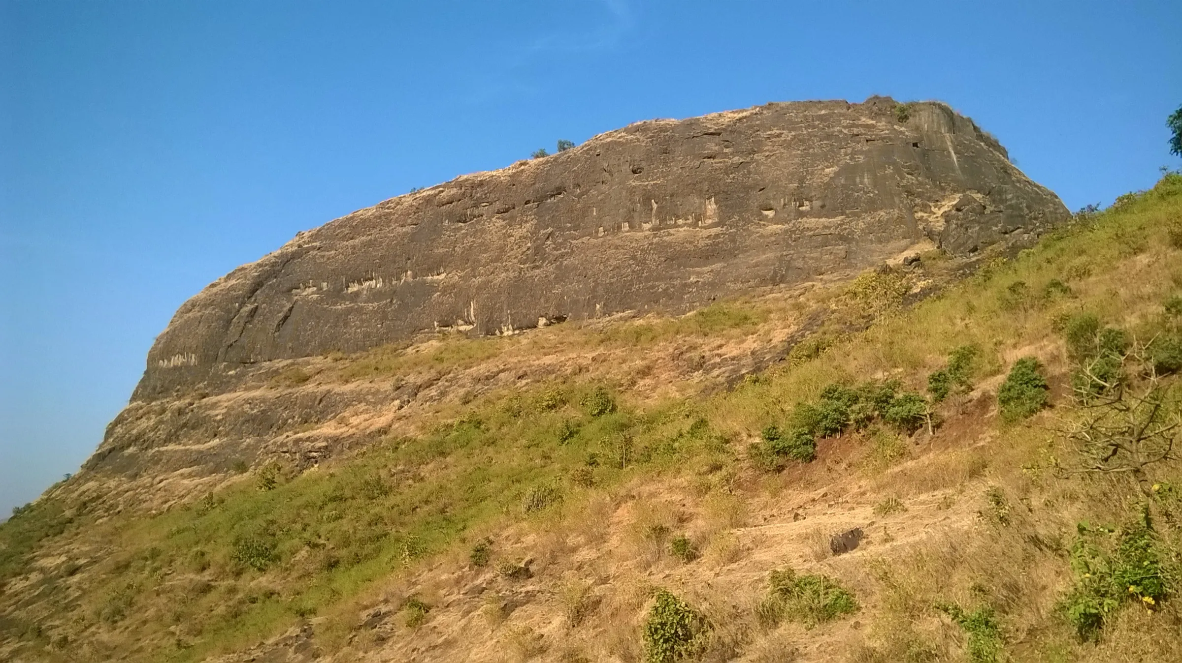
- A little-visited watch fort above Malshej Ghat with a distinct pinnacle visible from the highway
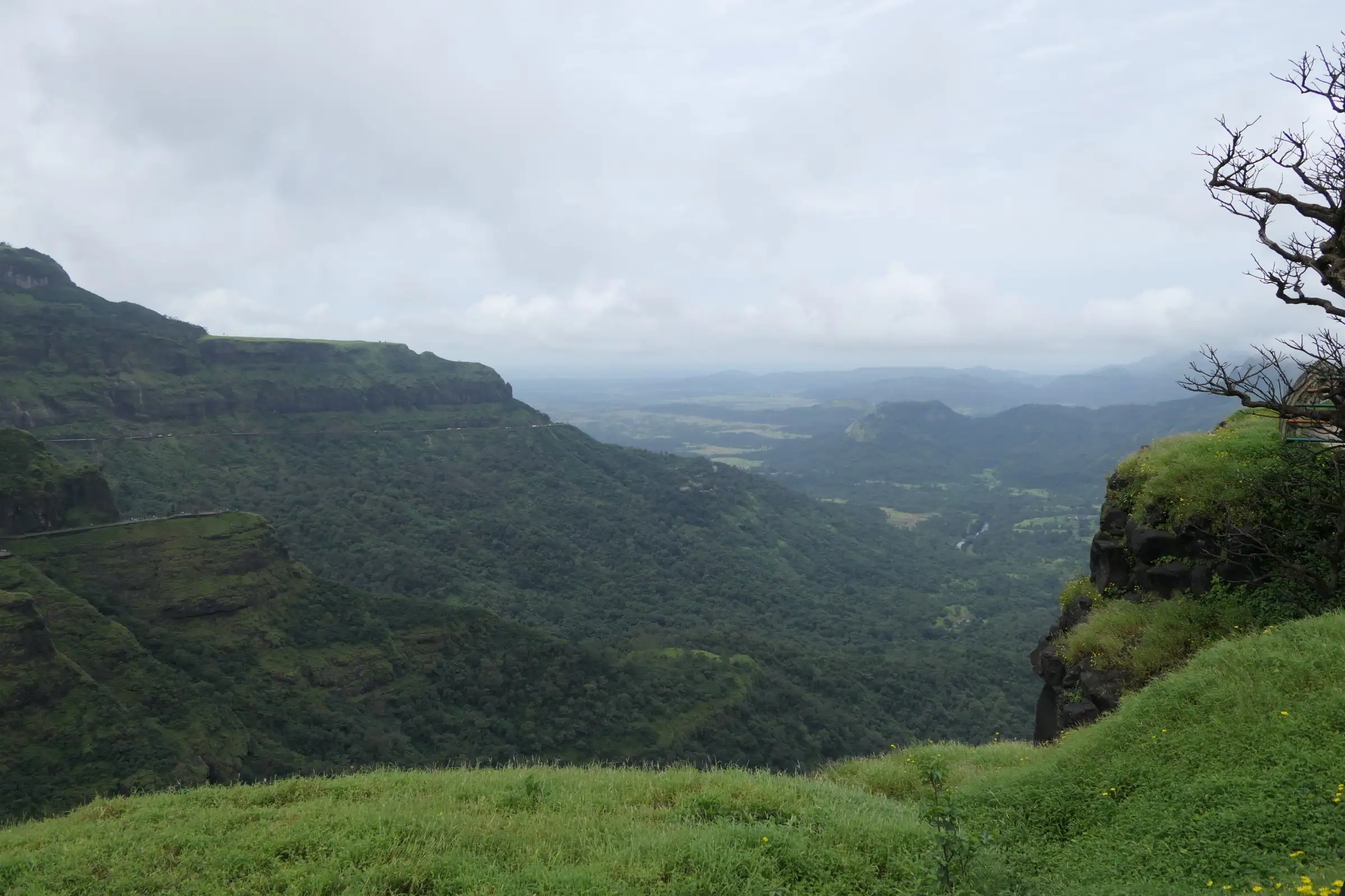
- Narrow ridge walks with views over Pimpalgaon Joga dam, Devdandya and Bhojgiri
- A carved idol of Bhagwan Ganesh at the ruined north-facing entrance, and a broken murti of Bhagwan Hanuman (Maruti) nearby
- Seven rock-cut cisterns, ruined bastions and an open-air shrine with tridents (trishul) on the narrow north–south summit
- Summit views of Harishchandragad, Nimgiri–Hanumantgad, Hadsar, Chavand and Shivneri
- Came under Maratha control around 1670–71; held by Jawhar for the Mughals in Sambhaji Maharaj's reign and retaken in the Peshwa era (Durgbharari)
Risks
- Narrow ridge and a gully to the top where only one person can pass at a time; not for people with vertigo
- Broken rock-cut steps and the hillside traverse become very slippery in monsoon; TrekUp India advises avoiding the monsoon months, while Tripoto rates June as the best time
- Tall grass hides the trail on the upper fort and the route is faint in places; follow the stone cairns and arrows or take a local guide
- Monsoon restrictions: on 8 July 2026 the Junnar Sub-Divisional Officer issued a prohibitory order for Malshej Ghat and nearby forts during heavy rain (Sindola is not named). Check the current order with Junnar tehsil before a monsoon visit
- Little shade and no reliable water on top; summer heat is hard on the exposed ridge
- Descend by the same route with care on loose gravel; trekking poles help
Know before you go
Questions
Where does the Sindola Fort trek start?
From Karanjale (Karjale) village on the Kalyan–Ahmednagar road just past Malshej Ghat. The trail starts in the field opposite the Karanjale village board; Durgbharari describes a path from behind Hotel Mauli near the Karjai Devi temple.
How long does the Sindola trek take?
About 2–2.5 hours up and 1–1.5 hours down (Vagabond Experiences); Marathi Wikipedia gives 2 hours up and 1 hour down. It is a day trek; Vagabond lists the total distance as about 3 km.
How difficult is Sindola Fort?
Moderate. The distance is short, but there is a narrow ridge walk, a single-file gully and broken rock-cut steps near the top. Tripoto recommends a few treks' experience first.
How high is Sindola Fort?
About 3,680–3,695 ft (about 1,122–1,126 m) according to Tripoto and Durgbharari.
Is there water on Sindola Fort?
Only a rock-cut cave spring below the summit, usually till March. The summit cisterns are not drinkable. Carry 3–4 litres.
Do I need permission to climb Sindola?
Tripoto says no permission is required, and no official fee was found. During heavy monsoon rain the Junnar administration can restrict access to forts and Malshej Ghat, so check locally.
In an emergency
Save these numbers before you lose signal. Tap to call.
- 112All emergenciesIndia’s single emergency number — works in every state
- 108Ambulance
- 1077District disaster control room
You are in
District: PuneMaharashtra
- Nearest hospital
- Primary Health Centre, Madh, about 4 km from Karanjale (per TrekUp India)
- Last ATM
- Murbad (per TrekUp India; none in Karanjale)
- Phone network
- TrekUp India says there is signal at the start but it is limited during the hike
Before you set off
- Tell someone your route and when you will be back.
- Carry a charged phone and a power bank.
- Download an offline map of the route.
- Turn back if the weather turns bad — the mountain will wait.
Questions about Sindola Fort
No questions yet. Ask something and trekkers who have done it can answer.
Share your trek photo with #TreksAndTrails
I trekked this
Did Sindola Fort look different from this page? Tell us what changed and we will check it.
Where this comes from
Sources
Last reviewed:
- Sindola Fort Trek (TrekUp India documented trek; mirrors the Indiahikes documented trek, which blocked our fetch) — TrekUp India
- Unexplored Sindola Fort (trip report) — Tripoto
- Sindola Fort | Night Trek with Ridge Walks — Vagabond Experiences
- Sindola — Durgbharari
- सिंदोळा किल्ला (Sindola Fort, Marathi Wikipedia) — Marathi Wikipedia
- Heavy Rain: Restrictions Imposed at Tourist Spots in Junnar, Ambegaon to Ensure Visitor Safety (8 July 2026) — Punekar News
Photos: Dinesh Valke, CC BY-SA 2.0; Dinesh Valke, CC BY-SA 2.0