Simhachalam Giri Pradakshina Trek
Visakhapatnam, Andhra Pradesh
Opens without signal on this phone, with the map file and checklist. Saved for offline →
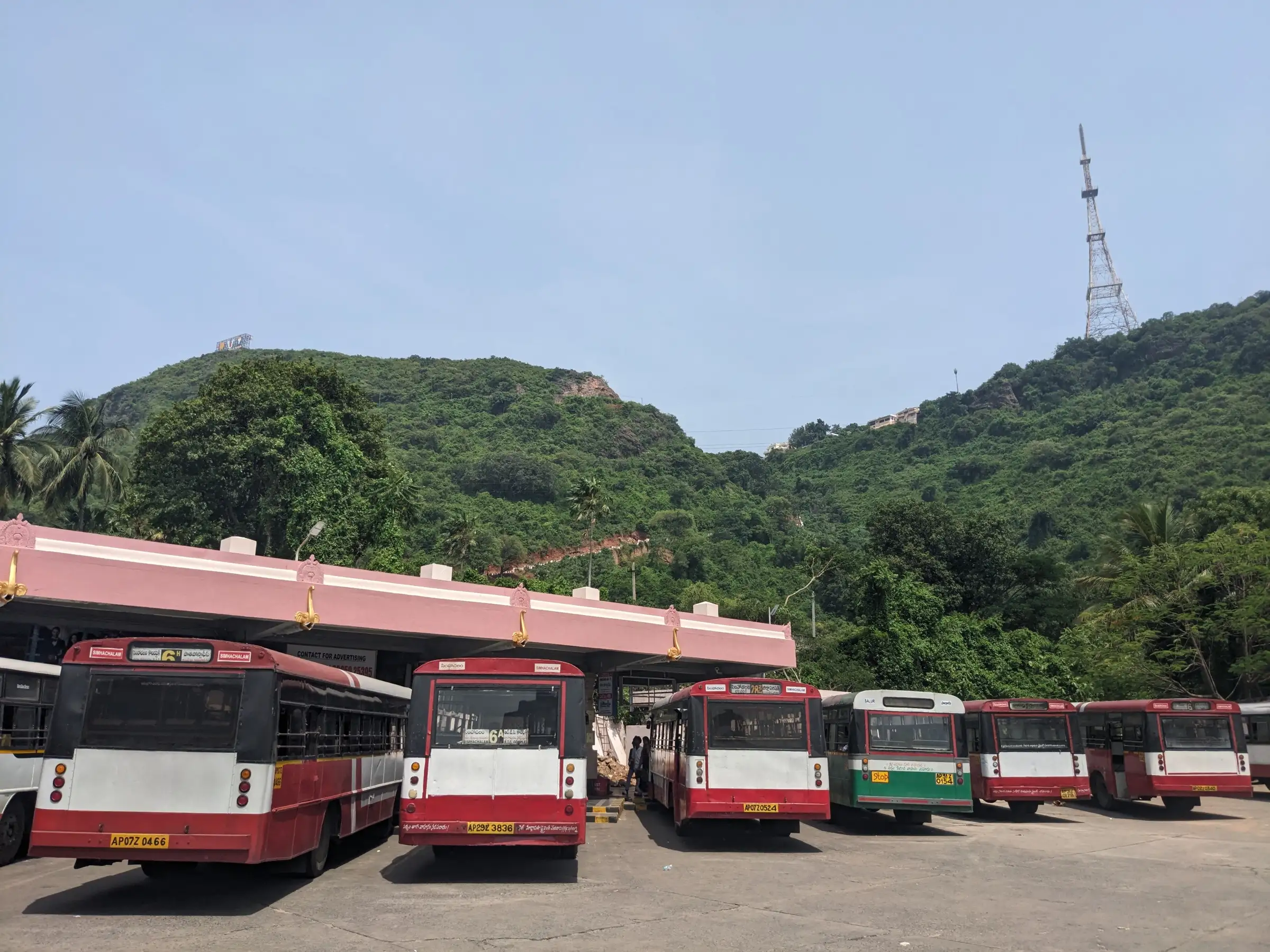
- Max altitude
- 377 m
- Days
- 1 day
- Distance
- 32 km
- Difficulty
- Moderate
Best months Jul
- Jan
- Feb
- Mar
- Apr
- May
- Jun
- JulBest
- Aug
- Sep
- Oct
- Nov
- Dec
A flat road-and-lane circuit of about 32 km round the Simhachalam hill with no climbing, but it is a very long day on foot in the monsoon heat or drizzle, among lakhs of devotees.
About this trek
Simhachalam Giri Pradakshina
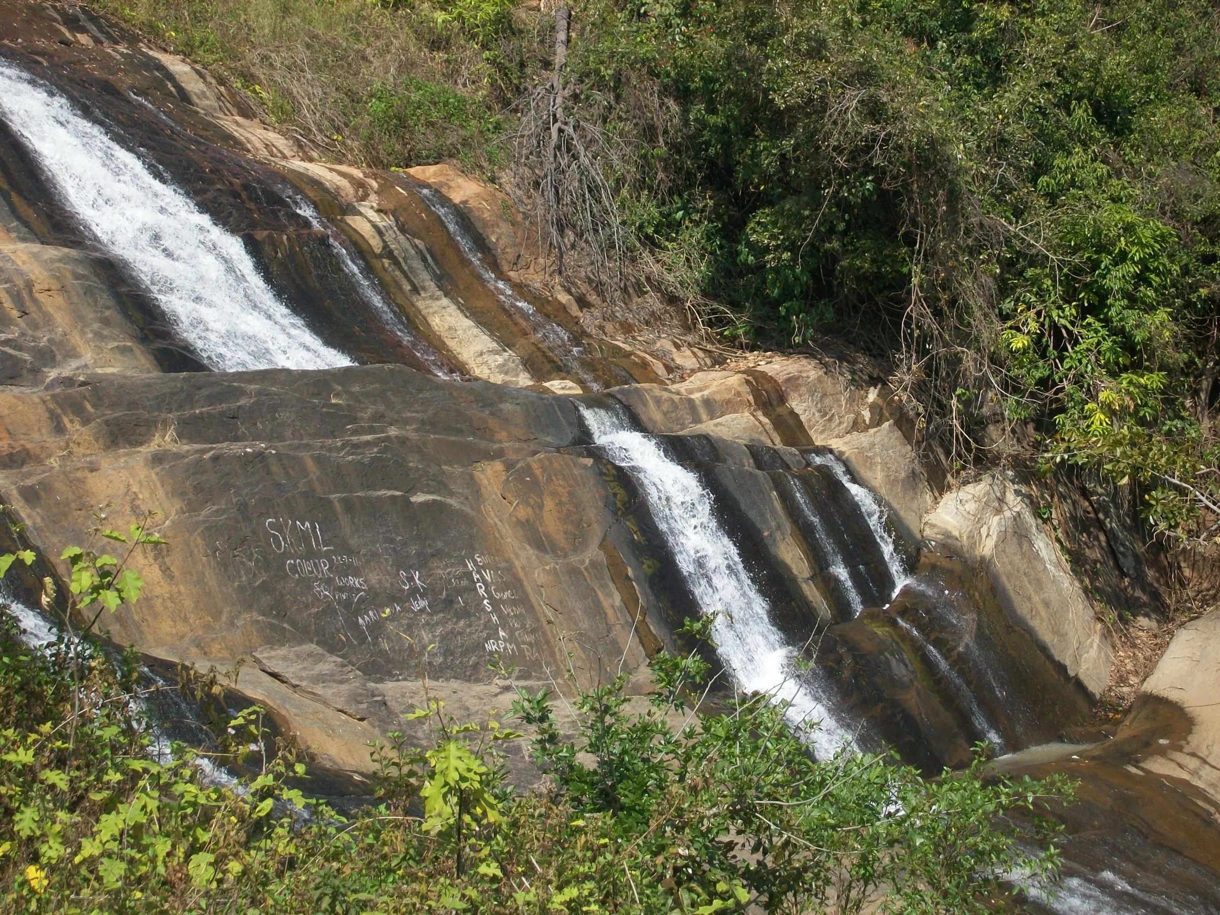
The Simhachalam Giri Pradakshina is an annual walk around the Simhachalam hill range in Andhra Pradesh. Devotees start at Tholi Pavancha at the foot of the hill and walk the circuit, reported as 32 km in news and 35 km on Wikipedia. Organisers set up rest points, water and medical camps, and crowds are very large.
Photos
On the trail
The route
Day by day
Day 1 · highest point
Tholi Pavancha (Simhachalam) → Tholi Pavancha (Simhachalam)
100 m → 100 m
- News reports describe the walk starting at Tholi Pavancha after special rituals there.
- Reports say rest areas are set up every five kilometres, with drinking water tanks, bio-toilets and medical camps.
- Points named in the report include Hanumanthuwaka, where a traffic diversion is planned, and Appughar.
- Highway crossings are on the route, and foot-over-bridges were being considered; coconut-breaking counters stand at the foothills.
Ups and downs
Altitude profile
Where it is
Map
Trailhead and high point only — not a recorded track. Use it with a proper map.
Weather
Next 5 days on the trail
Live forecast for the trailhead and the high point. Mountain weather changes fast — check again on the morning you start.
Trailhead · Tholi Pavancha, Simhachalam
at 100 mLoading forecast…
High point · Simhachalam Hill Range (Wikipedia coordinates; the exact top is not mapped, and the walk circles the base)
at 377 mLoading forecast…
Each day: high / low °C · rain mm and chance · snow cm · wind km/h
Weather data: Open-Meteo.comModel forecast, not an official warning. For alerts follow IMD and the local administration.
Plan the trip
How to reach
- Trailhead
- Tholi Pavancha, Simhachalam (nearest town: Visakhapatnam)
- Nearest railway
- Simhachalam North / Visakhapatnam
- Nearest airport
- Visakhapatnam Airport
- By road
- Visakhapatnam city (Gopalapatnam and Adavivaram side; APSRTC runs special buses to Tholi Pavancha on the festival day)
- Drive
- About 1 h from Visakhapatnam
Plan the trip
Permits and fees
We could not confirm the current permit rules and fees from an official source. Check with the local forest department or tourism office before you go.
Plan the trip
Cost
Self-guided
₹200–1,000
With an operator
Free
Per person, ex-Visakhapatnam. This is a free devotional walk with no operators selling it; the self-guided range is an estimate for local transport, water and food. No fee is known for the walk itself.
Gear
Top picks for this trek
The gear that matters most on this route, chosen from its altitude, season and risks.
 Ad · affiliate link
 Ad · affiliate link
 Ad · affiliate link
 Ad · affiliate link
 Ad · affiliate link
- Ad · affiliate link
 Ad · affiliate link
 Ad · affiliate link
Store buttons open a search on that store, not a product we picked. As an Amazon Associate we earn from qualifying purchases. Photos show the kind of item, not a specific product. Affiliate disclosure
Packing checklist
Matched to this trek: altitude, season, days and the risks on the route.
Packed 0 of 21
Monsoon months (Jul): pack everything in plastic or a dry bag and wear shoes with good grip.
Tick each item as it goes in the bag.
Know before you go
Good to know
- Mobile network
- City mobile coverage along the route (it runs through Visakhapatnam suburbs); expect congestion on the festival day.
- Last ATM
- Along the route in the city suburbs (Gopalapatnam, Madhavadhara, Seethammadhara)
- Nearest hospital
- Medical camps and ambulances are set up along the route on the festival day; hospitals in Visakhapatnam city otherwise.
- Water
- On the festival day the administration sets up drinking-water points and about 50 water tanks along the route; carry your own bottle in any case.
Highlights
- A 32 km circumambulation (giri pradakshina) of the Simhachalam hill, the abode of Bhagwan Varaha Lakshmi Narasimha, starting from the Tholi Pavancha steps
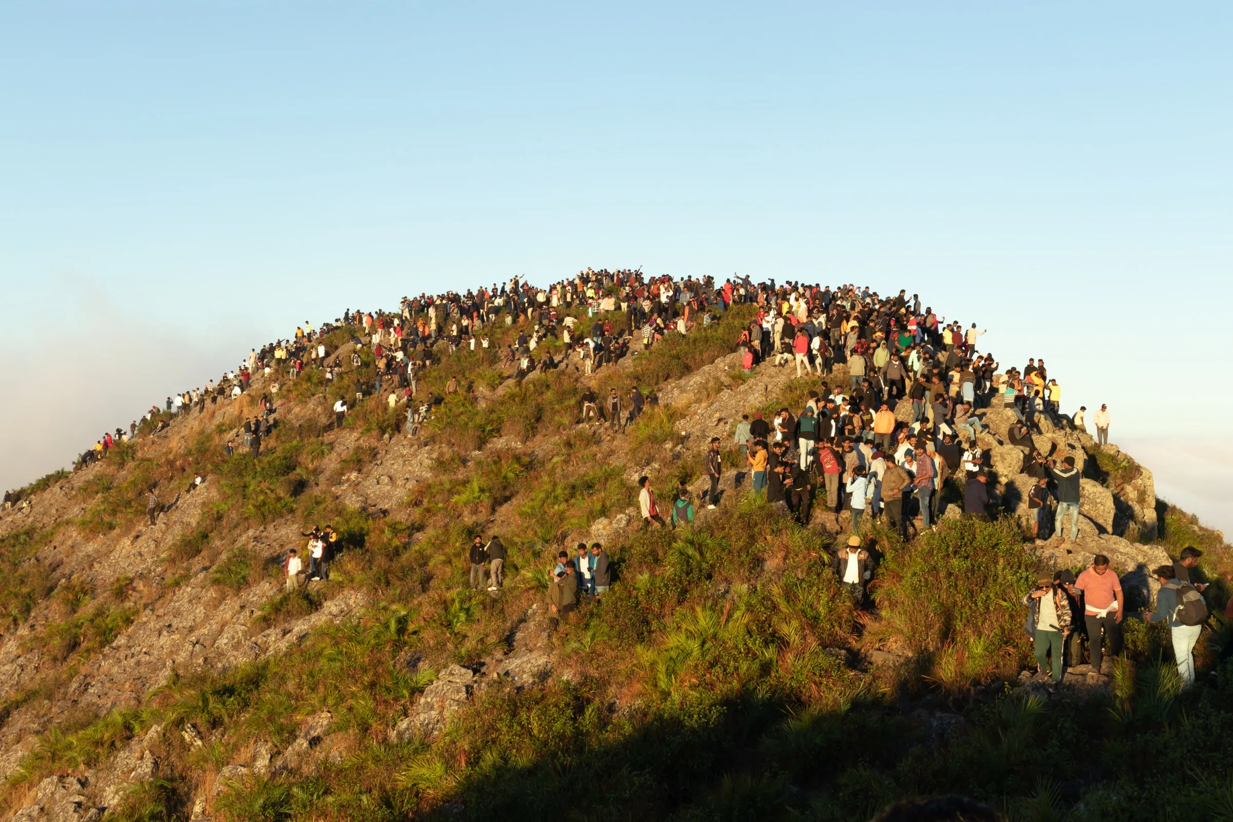
- Walked on the eve of Guru Purnima (Ashadha Purnima), with lakhs of devotees chanting Govinda, Govinda
- Pushparatham (floral chariot) flag-off by the temple's hereditary trustee at Tholi Pavancha, and a dip at Jodugullapalem beach on the way
Risks
- Extremely dense crowds on the festival day (lakhs of devotees); heavy traffic congestion at points such as Appughar and Venkojipalem.
- Monsoon drizzle and overcast skies were reported on the 2026 walk; the route is 32 km on foot, so carry water and rain cover.
- Only one publisher (news reports) was used for the route; the Wikipedia article gives 35 km, so follow the official route and signs on the day.
Know before you go
Questions
How long is the Simhachalam Giri Pradakshina?
News reports of the 2026 walk give 32 km; the Wikipedia article on the Simhachalam hills says 35 km. The 32 km figure is used for the official arrangements.
When is the Simhachalam Giri Pradakshina held?
It is held each year around Ashadha Purnima, on the day before Guru Purnima. In 2026 it began at about 4 pm on 28 July from Tholi Pavancha, with devotees also starting earlier and walking through the night.
Where does the Giri Pradakshina start and which way does it go?
It starts after special rituals at Tholi Pavancha, the steps at the foot of the hill. Reports name Adavivaram, Hanumanthawaka, Jodugullapalem, Appughar, Gopalapatnam and Srinivasa Nagar along the route; an official inspection also named Lumbini Park, Seethammadhara, Madhavadhara, NSTL and Gosala.
What facilities are provided on the route?
The district administration arranged drinking water, bio-toilets, rest areas at roughly five-kilometre intervals, medical camps, ambulances, street lighting and control rooms, with special APSRTC buses to Tholi Pavancha.
In an emergency
Save these numbers before you lose signal. Tap to call.
- 112All emergenciesIndia’s single emergency number — works in every state
- 108Ambulance
- 1077District disaster control room
You are in
District: VisakhapatnamAndhra Pradesh
- Nearest hospital
- Medical camps and ambulances are set up along the route on the festival day; hospitals in Visakhapatnam city otherwise.
- Last ATM
- Along the route in the city suburbs (Gopalapatnam, Madhavadhara, Seethammadhara)
- Phone network
- City mobile coverage along the route (it runs through Visakhapatnam suburbs); expect congestion on the festival day.
Before you set off
- Tell someone your route and when you will be back.
- Carry a charged phone and a power bank.
- Download an offline map of the route.
- Turn back if the weather turns bad — the mountain will wait.
Questions about Simhachalam Giri Pradakshina
No questions yet. Ask something and trekkers who have done it can answer.
Share your trek photo with #TreksAndTrails
I trekked this
Did Simhachalam Giri Pradakshina look different from this page? Tell us what changed and we will check it.
Where this comes from
Sources
Last reviewed:
- Preparations begin for 32 km Simhachalam Giri Pradakshina — Deccan Chronicle
- Simhachalam Hill Range — Wikipedia
Photos: Saiphani02, CC BY-SA 4.0; Adityamadhav83, CC BY-SA 4.0; eclicks_by_bunny, CC BY-SA 4.0