- Max altitude
- 4,360 m
- Days
- 7 days
- Distance
- 41 km
- Difficulty
- Difficult
Operators grade it moderate to difficult: you start at about 3,100 m in Badrinath and climb more than 500 m a day to Chakratirtha, so altitude sickness is a real risk, and the last 5 km to the lake cross loose boulders and glacial moraine with no teahouses or shelter anywhere on the trail.
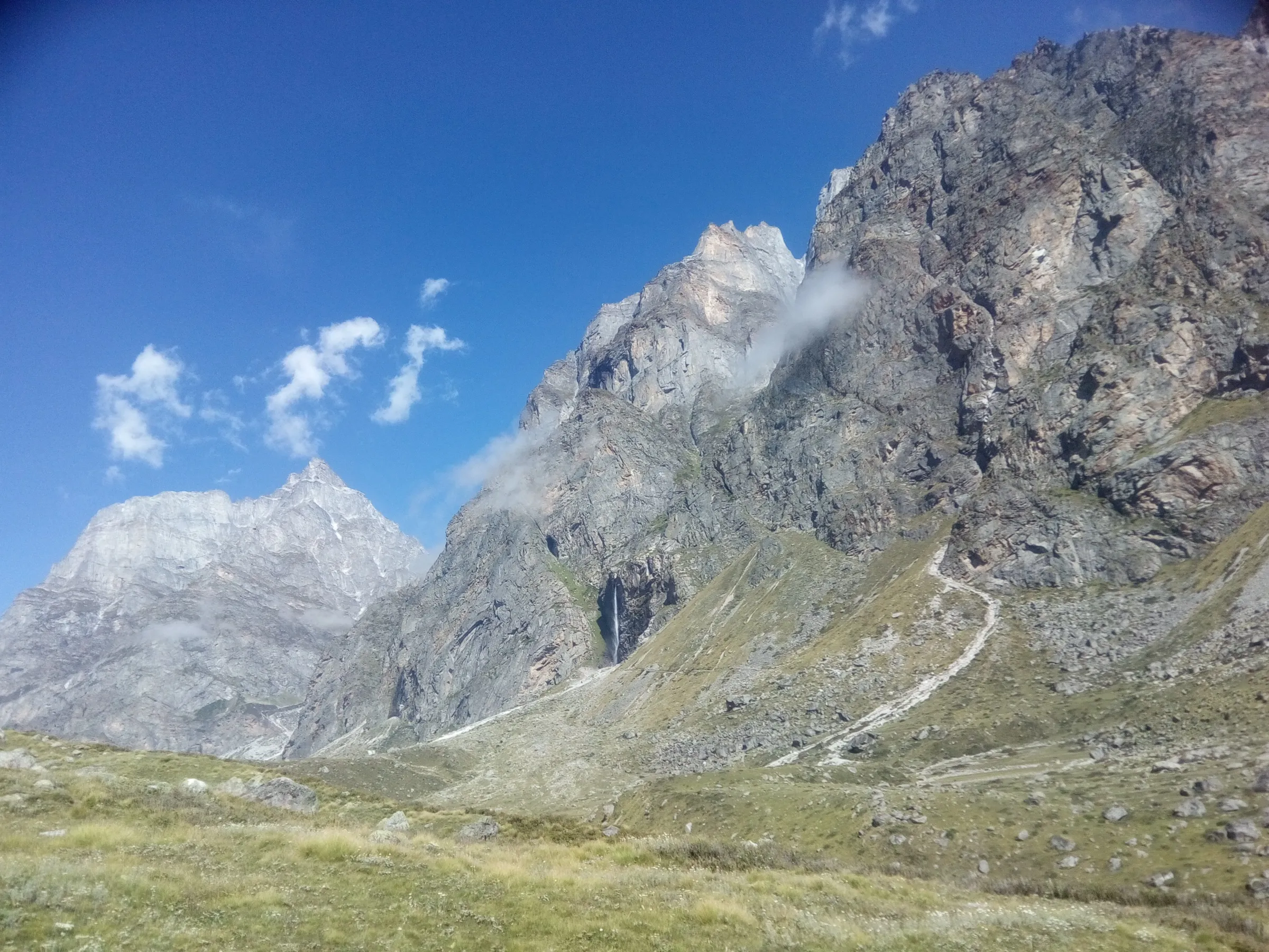
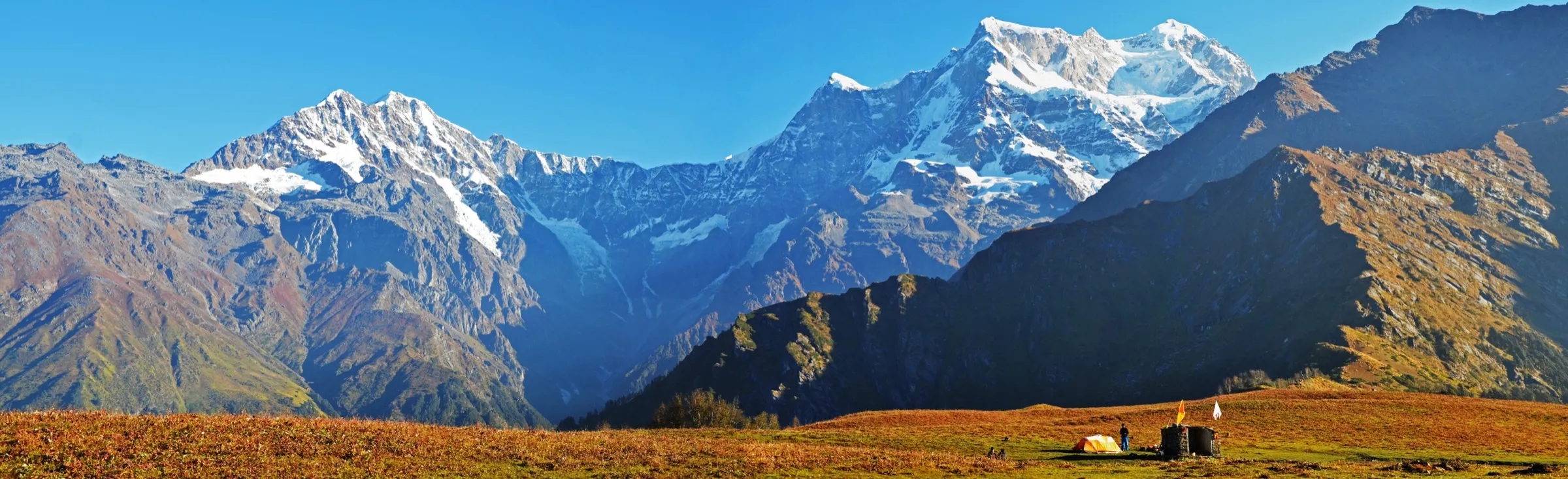
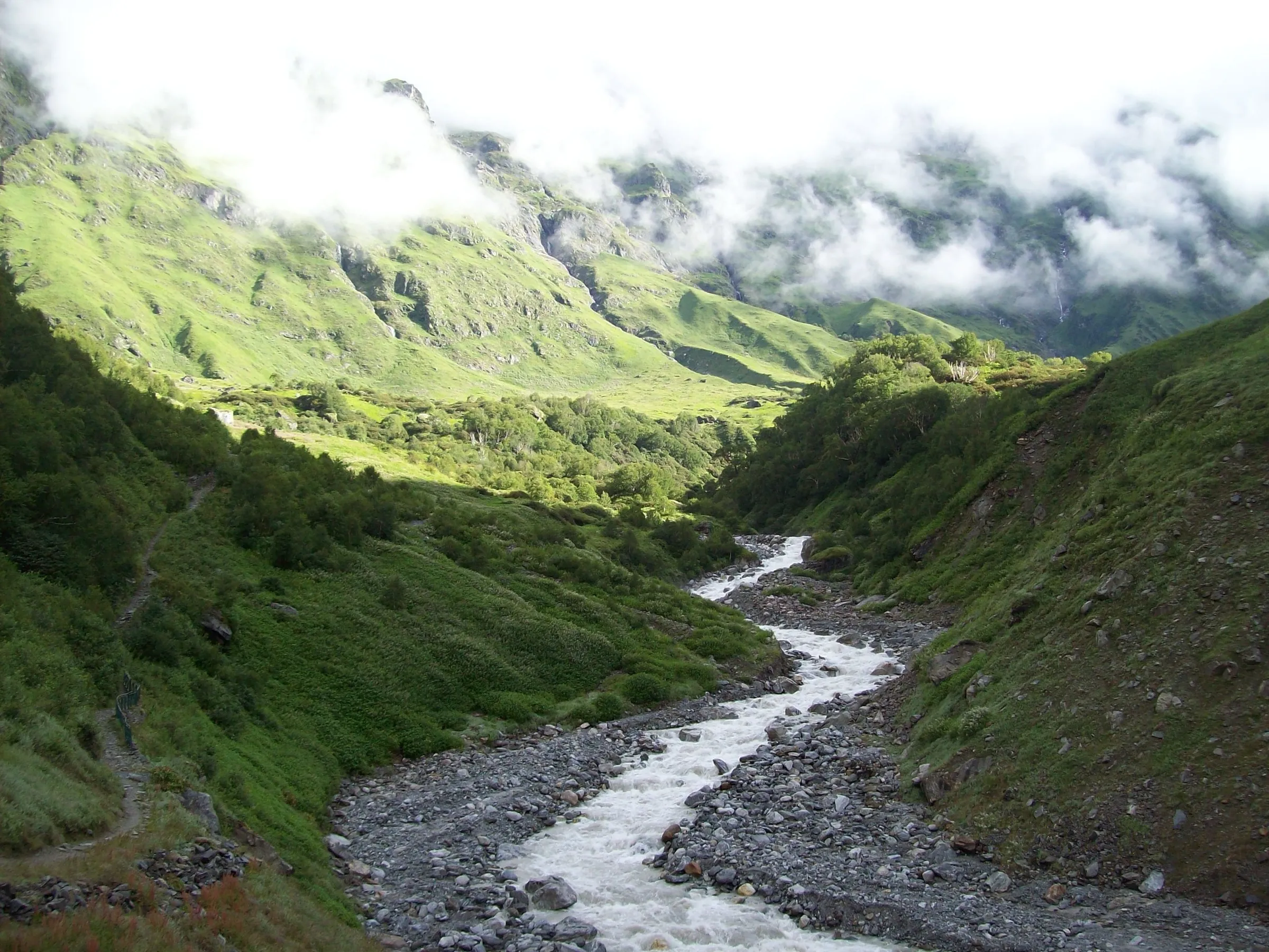
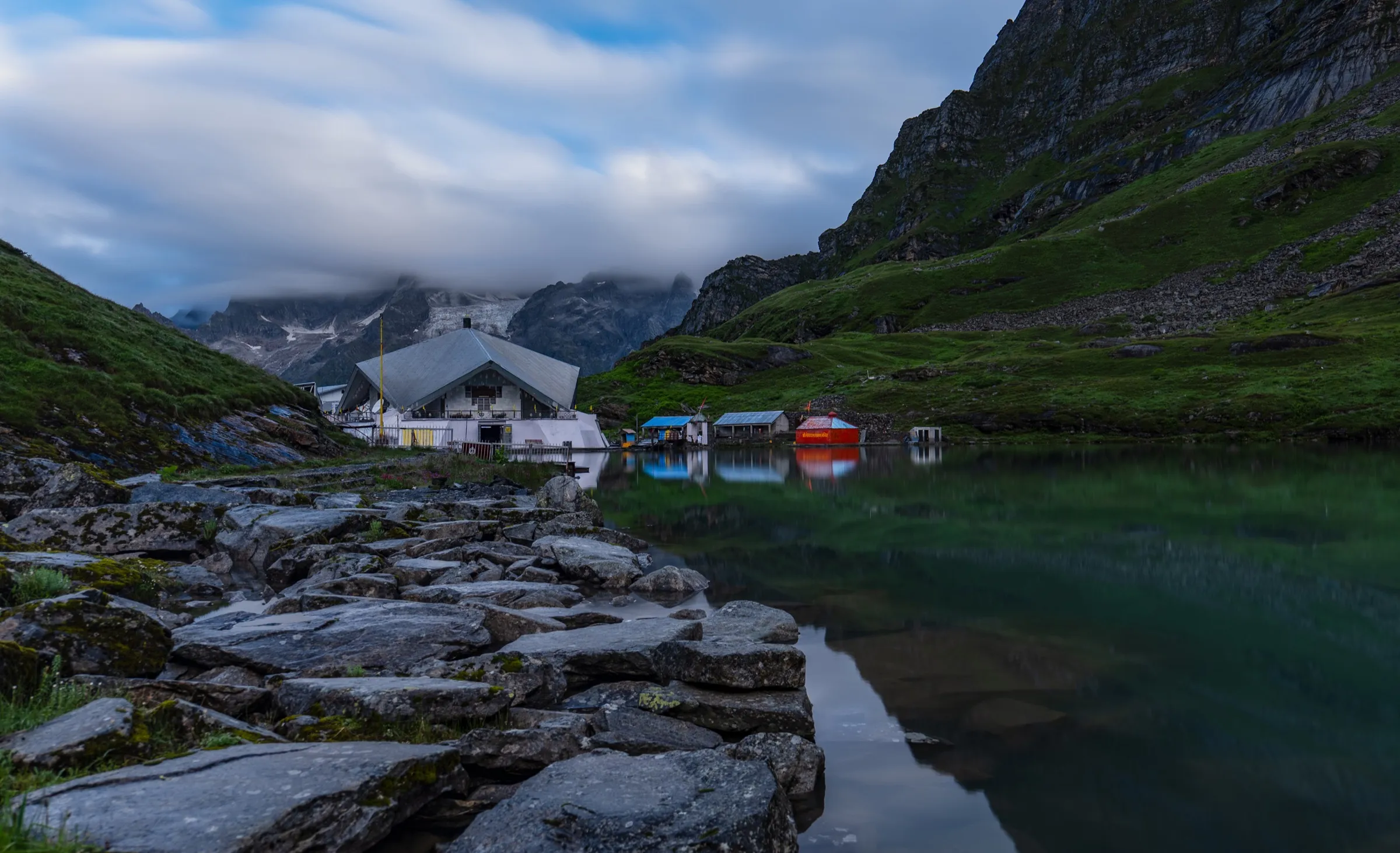
Photos
On the trail
The route
Day by day
Day 1
Rishikesh → Badrinath
340 m → 3,100 m
Day 2
Badrinath → Badrinath (acclimatisation day, optional walk to Mana)
3,100 m → 3,100 m
Day 3
Badrinath → Laxmi Van (via Mana and Vasudhara Falls)
3,100 m → 3,620 m
Day 4
Laxmi Van → Chakratirtha (via Sahastradhara)
3,620 m → 4,160 m
Day 5 · highest point
Chakratirtha → Chakratirtha (via Satopanth Tal)
4,160 m → 4,360 m → 4,160 m
Day 6
Chakratirtha → Badrinath (via Laxmi Van and Mana)
4,160 m → 3,100 m
Day 7
Badrinath → Rishikesh
3,100 m → 340 m
Ups and downs
Altitude profile
Where it is
Map
Trailhead and high point only — not a recorded track. Use it with a proper map.
Weather
Next 5 days on the trail
Live forecast for the trailhead and the high point. Mountain weather changes fast — check again on the morning you start.
Trailhead · Mana village
at 3,100 mLoading forecast…
High point · Satopanth Tal
at 4,360 mLoading forecast…
Each day: high / low °C · rain mm and chance · snow cm · wind km/h
Weather data: Open-Meteo.comModel forecast, not an official warning. For alerts follow IMD and the local administration.
Plan the trip
How to reach
- Trailhead
- Mana village (nearest town: Badrinath)
- Nearest railway
- Yog Nagari Rishikesh (also Haridwar or Dehradun)
- Nearest airport
- Jolly Grant Airport, Dehradun
- By road
- Rishikesh (about 300 km via Devprayag, Rudraprayag, Karnaprayag and Joshimath; buses about ₹650); Joshimath (about 45 km; shared taxis to Badrinath)
- Drive
- About 11 h from Rishikesh
Plan the trip
Permits and fees
We could not confirm the current permit rules and fees from an official source. Check with the local forest department or tourism office before you go.
Plan the trip
Cost
Self-guided
₹10,000–20,000
With an operator
₹23,600–27,900
Per person, ex-Rishikesh/Dehradun. Guided prices published October 2026: Trek The Himalayas ₹22,500 + 5% GST ex-Rishikesh (8 days); Himalaya Shelter ₹26,500 + 5% GST ex-Dehradun (6 days); eUttaranchal ₹23,000-25,500 + 5% GST ex-Joshimath (6 days). WhiteMagic sells a hotel-based premium version at ₹74,900 ex-Dehradun. Self-guided is an estimate: buses Rishikesh-Badrinath and back (about ₹650 each way), two or three nights in Badrinath, and a local guide (₹1,000-1,500 a day), cook (about ₹1,000 a day) and porter (about ₹800 a day) from Mana or Badrinath as quoted by Indiahikes, plus tent and food for four days, shared within a small group.
Gear
Top picks for this trek
The gear that matters most on this route, chosen from its altitude, season and risks.
 Ad · affiliate link
 Ad · affiliate link
 Ad · affiliate link
 Ad · affiliate link
 Ad · affiliate link
 Ad · affiliate link
 Ad · affiliate link
 Ad · affiliate link
Store buttons open a search on that store, not a product we picked. As an Amazon Associate we earn from qualifying purchases. Photos show the kind of item, not a specific product. Affiliate disclosure
Packing checklist
Matched to this trek: altitude, season, days and the risks on the route.
Packed 0 of 37
Nights near 4,360 m can drop close to freezing even in summer. Pack one more warm layer than you think.
Tick each item as it goes in the bag.
Know before you go
Good to know
- Mobile network
- Mobile signal works in Badrinath town; we found no source on coverage beyond Mana, so plan for none on the trail.
- Last ATM
- Joshimath is the reliable place to draw cash; there is no ATM or shop on the trail, so carry cash.
- Nearest hospital
- Basic care only in Badrinath; Joshimath for the nearest hospital; AIIMS Rishikesh for serious cases
- Water
- The Alaknanda and side streams along the whole route, and the cascades of Sahastradhara before Chakratirtha. There is no tea house or food stall, so carry stove and food, and purify all water.
Highlights
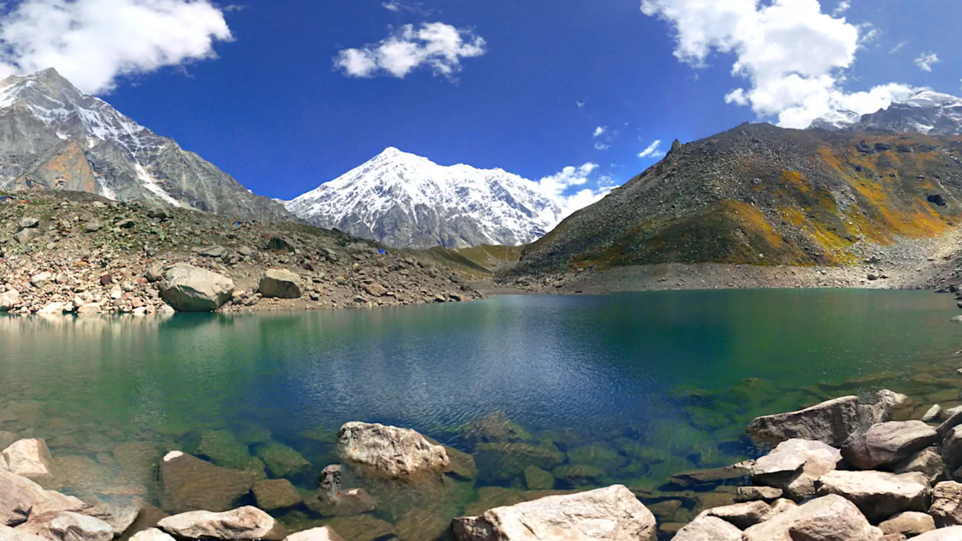
- Satopanth Tal, the three-cornered emerald lake whose corners are honoured as the ghats of Bhagwan Brahma, Bhagwan Vishnu and Mahadev, under Chaukhamba, Neelkanth and Balakun
- Walking the route of the Pandavas' Swargarohan, the Mahabharata's katha of their last journey from Mana towards Swargarohini, with the Swargarohini peak in view at the lake
- Vasudhara Falls dropping about 400 ft beside the trail beyond Mana, India's last village before the Tibet border
- Sahastradhara, a cliff of a hundred small waterfalls below Mount Neelkanth, and the Bhojpatra (Himalayan birch) groves of Laxmi Van
- Camping on the meadow of Chakratirtha beside the Satopanth Glacier
Risks
- Forced ascent: Badrinath is already about 3,100 m and Chakratirtha is over 4,100 m two trekking days later. Indiahikes advises an acclimatisation day in Badrinath and watching closely for altitude sickness.
- The final 5 km to the lake cross loose boulders and glacial moraine; a fall or twisted ankle is the main hazard, and trekking poles help.
- July-August monsoon rain brings landslides on the Badrinath road and slippery trails; Himalaya Shelter says to avoid these months and Himalayan Dream Treks calls the monsoon too risky.
- Snow: Himalayan Dream Treks treats November as early winter, only for experienced trekkers, and Himalaya Shelter says snowfall from October to April can block the trail; Wikipedia says the lake stays frozen until mid-May or June.
- There are no settlements, shops or tea houses after Mana. Self-guided trekkers must carry all food, fuel and tents, and Indiahikes advises a local guide beyond Laxmi Van, where the trail is hard to follow.
- This is an Indo-Tibet border area: a forest/inner-line permit from Joshimath is required and army check posts are on the route.
Know before you go
Questions
How difficult is the Satopanth Tal trek? Can beginners do it?
Operators grade it moderate to difficult. Daily distances are 7-15 km, but you gain altitude fast from 3,100 m at Badrinath to over 4,100 m at Chakratirtha, and the last stretch to the lake is over boulders and moraine. Indiahikes and Himalayan Dream Treks recommend prior Himalayan trekking experience.
What permit do I need for Satopanth Tal?
Indiahikes says an inner line permit is needed and is issued by the Divisional Forest Office of the Nanda Devi Biosphere Reserve in Joshimath (phone 01389-222179). Himalayan Dream Treks adds that it can also be applied for online through the Uttarakhand mountaineering permit portal. We could not confirm the current official fee, so check in Joshimath; guided groups include the permit.
When is the best time to do the Satopanth Tal trek?
May-June and September-October. Operators advise against July-August because of monsoon landslides, and the trek is not done in deep winter (December-February), when the lake is frozen and the route is under snow.
Can you camp at Satopanth Tal?
Groups camp at Chakratirtha, about 5 km before the lake, walk to the lake and back in one long day (about 8 hours), and return to camp. Himalayan Dream Treks notes that some sadhus live near the lake, but trekkers return the same day.
Do I need a guide for Satopanth Tal?
Up to Laxmi Van the trail along the Alaknanda is easy to follow, but Indiahikes says that beyond it the route is hard to find and a guide is needed. Local guides are available in Mana and Badrinath.
In an emergency
Save these numbers before you lose signal. Tap to call.
- 112All emergenciesIndia’s single emergency number — works in every state
- 108Ambulance
- 1077District disaster control room
You are in
District: ChamoliUttarakhand
- Nearest hospital
- Basic care only in Badrinath; Joshimath for the nearest hospital; AIIMS Rishikesh for serious cases
- Last ATM
- Joshimath is the reliable place to draw cash; there is no ATM or shop on the trail, so carry cash.
- Phone network
- Mobile signal works in Badrinath town; we found no source on coverage beyond Mana, so plan for none on the trail.
Before you set off
- Tell someone your route and when you will be back.
- Carry a charged phone and a power bank.
- Download an offline map of the route.
- Turn back if the weather turns bad — the mountain will wait.
Questions about Satopanth Lake
No questions yet. Ask something and trekkers who have done it can answer.
Share your trek photo with #TreksAndTrails
I trekked this
Did Satopanth Lake look different from this page? Tell us what changed and we will check it.
Where this comes from
Sources
Last reviewed:
- Satopanth Tal Trek — Indiahikes
- Satopanth Tal Trek 2026: Complete Itinerary, Duration, Lake & More — Himalayan Dream Treks
- Satopanth Lake Trek — Trek The Himalayas
- Satopanth Lake Trek - Weather, itinerary, best time to visit — Himalaya Shelter
- Satopanth Tal — WhiteMagic Adventure
- Satopanth Lake 5 Nights Short Trek from Joshimath — eUttaranchal
- Satopanth Tal — Wikipedia
Photos: Photos Worldwide, CC0; Photos Worldwide, CC BY-SA 4.0; Soumit ban, Public domain; Soumit ban, Public domain