Sandakphu Phalut Trek
Darjeeling, West Bengal
Opens without signal on this phone, with the map file and checklist. Saved for offline →
- Max altitude
- 3,636 m
- Days
- 6 days
- Distance
- 78 km
- Difficulty
- Moderate
Long ridge days of 13–21 km at 3,000–3,600 m, with a steep pull to Sandakphu and a knee-jarring 1,250 m descent from Phalut to Gorkhey; trail itself is well marked.
Photos
On the trail
The route
Day by day
Day 1
Manebhanjan → Tumling
1,928 m → 2,926 m
Day 2
Tumling → Kalipokhri
2,926 m → 3,171 m
Day 3 · highest point
Kalipokhri → Sandakphu
3,171 m → 3,636 m
Day 4
Sandakphu → Phalut
3,636 m → 3,600 m
Day 5
Phalut → Gorkhey
3,600 m → 2,348 m
Day 6
Gorkhey → Srikhola (via Rammam)
2,348 m → 2,100 m
Ups and downs
Altitude profile
Where it is
Map
Trailhead and high point only — not a recorded track. Use it with a proper map.
Weather
Next 5 days on the trail
Live forecast for the trailhead and the high point. Mountain weather changes fast — check again on the morning you start.
Trailhead · Manebhanjan
at 1,928 mLoading forecast…
High point · Sandakphu
at 3,636 mLoading forecast…
Each day: high / low °C · rain mm and chance · snow cm · wind km/h
Weather data: Open-Meteo.comModel forecast, not an official warning. For alerts follow IMD and the local administration.
Plan the trip
How to reach
- Trailhead
- Manebhanjan
- Nearest railway
- New Jalpaiguri (NJP)
- Nearest airport
- Bagdogra (IXB)
- By road
- Darjeeling (about 28 km, 1 hour); Siliguri / NJP via Mirik and Sukhiapokhri (about 92 km)
- Drive
- About 3 h from Siliguri
Plan the trip
Permits and fees
We could not confirm the current permit rules and fees from an official source. Check with the local forest department or tourism office before you go.
Plan the trip
Cost
Self-guided
₹7,000–14,000
With an operator
₹14,000–31,000
Per person. Guided ex-NJP/Siliguri: Bikat Adventures ₹13,400 + 5% GST; Himalayan High from ₹25,500 (basic) to ₹30,500 (standard) for larger groups. Self-guided ex-Manebhanjan is an estimate: a mandatory local guide shared by a group, park entry per day, trekkers' huts and meals (2022 rates per Darjeeling Tourism), excluding transport to Manebhanjan and out of Srikhola.
Gear
Top picks for this trek
The gear that matters most on this route, chosen from its altitude, season and risks.
 Ad · affiliate link
 Ad · affiliate link
 Ad · affiliate link
 Ad · affiliate link
 Ad · affiliate link
 Ad · affiliate link
 Ad · affiliate link
 Ad · affiliate link
Store buttons open a search on that store, not a product we picked. As an Amazon Associate we earn from qualifying purchases. Photos show the kind of item, not a specific product. Affiliate disclosure
Packing checklist
Matched to this trek: altitude, season, days and the risks on the route.
Packed 0 of 28
Nights near 3,636 m can drop close to freezing even in summer. Pack one more warm layer than you think.
Tick each item as it goes in the bag.
Know before you go
Good to know
- Mobile network
- Patchy along the ridge; phones often pick up Nepali networks near the border; little or none at Phalut and Gorkhey
- Last ATM
- Sukhiapokhri / Darjeeling (no reliable ATM at Manebhanjan)
- Nearest hospital
- Darjeeling District Hospital
- Water
- Scarce on the ridge; carry 2 litres and refill at lodges in Tumling, Kalipokhri and Sandakphu; no villages between Sandakphu and Phalut
Highlights
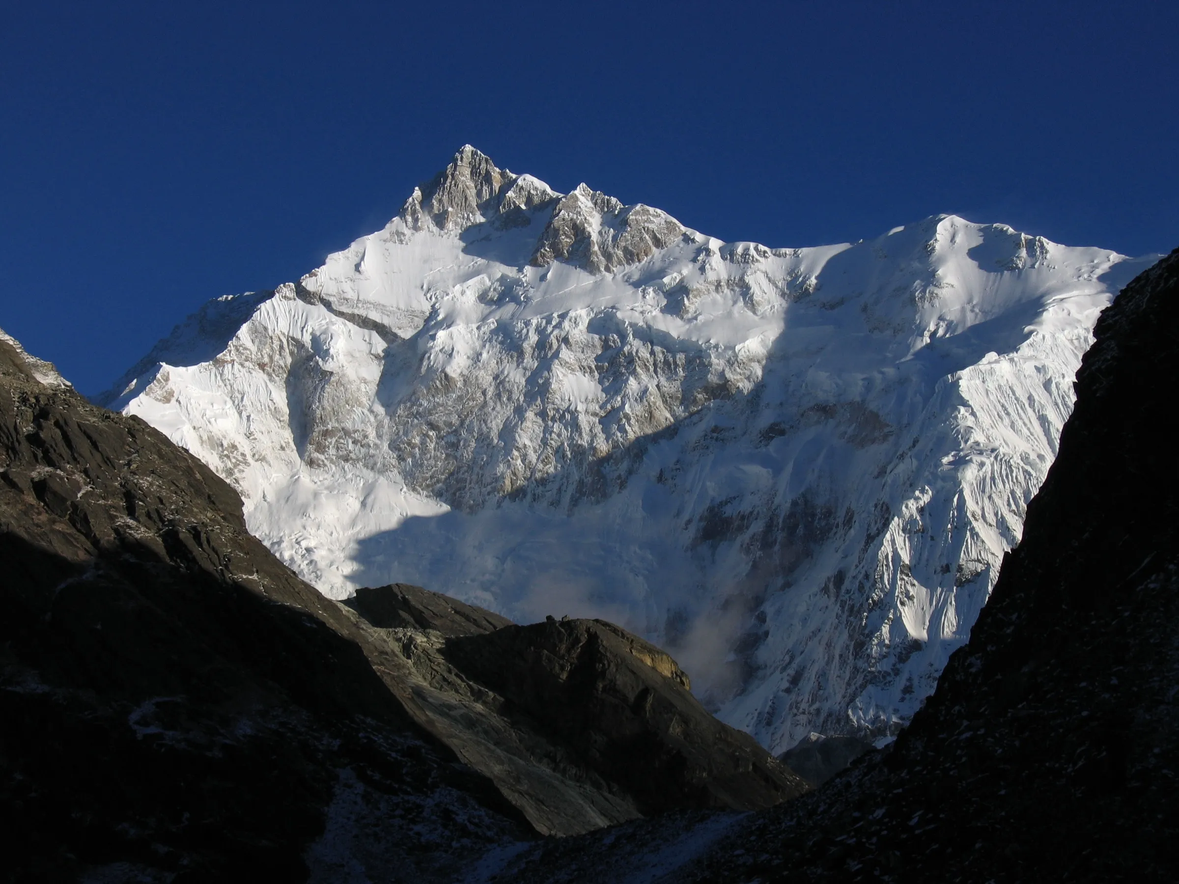
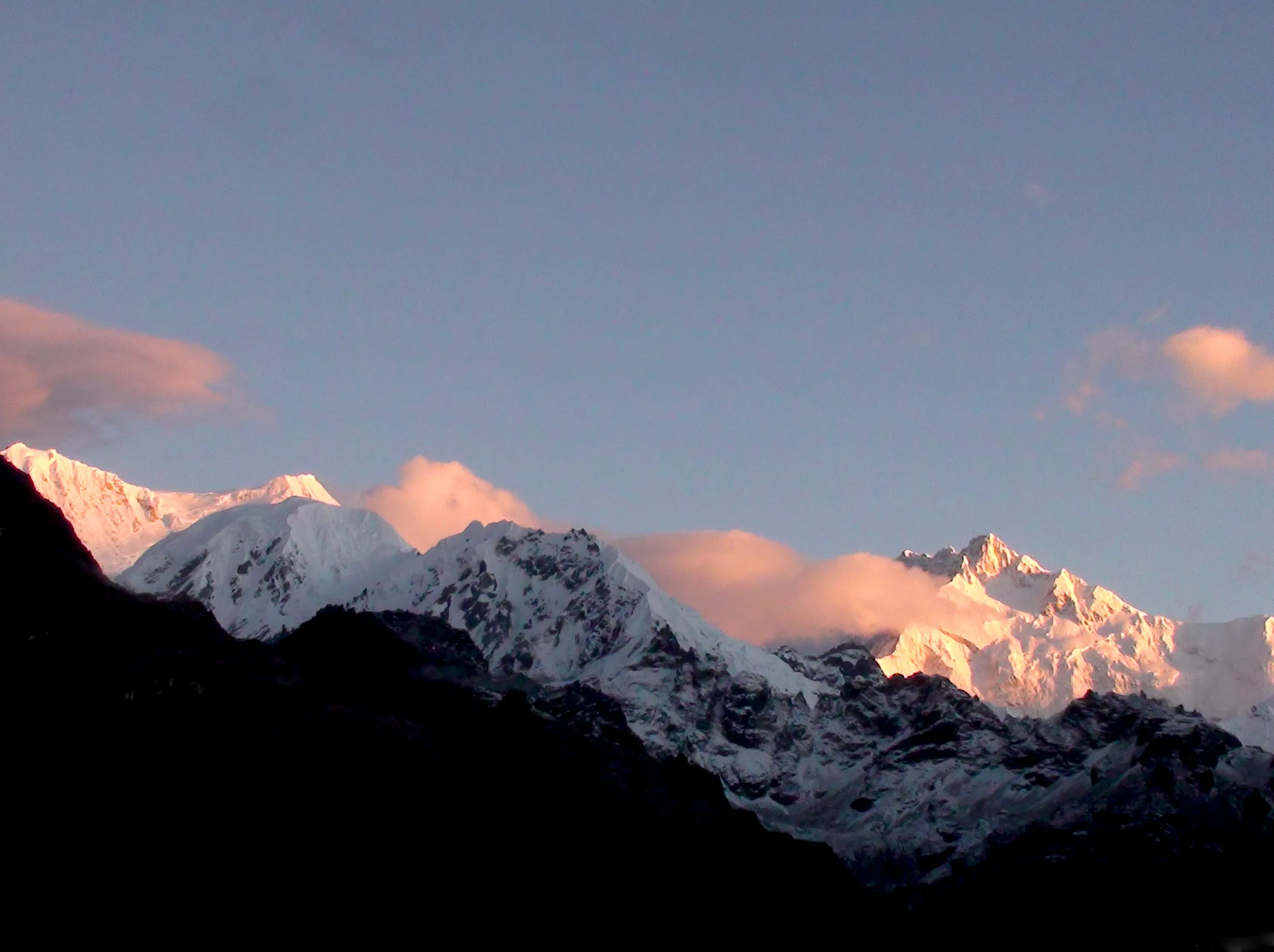
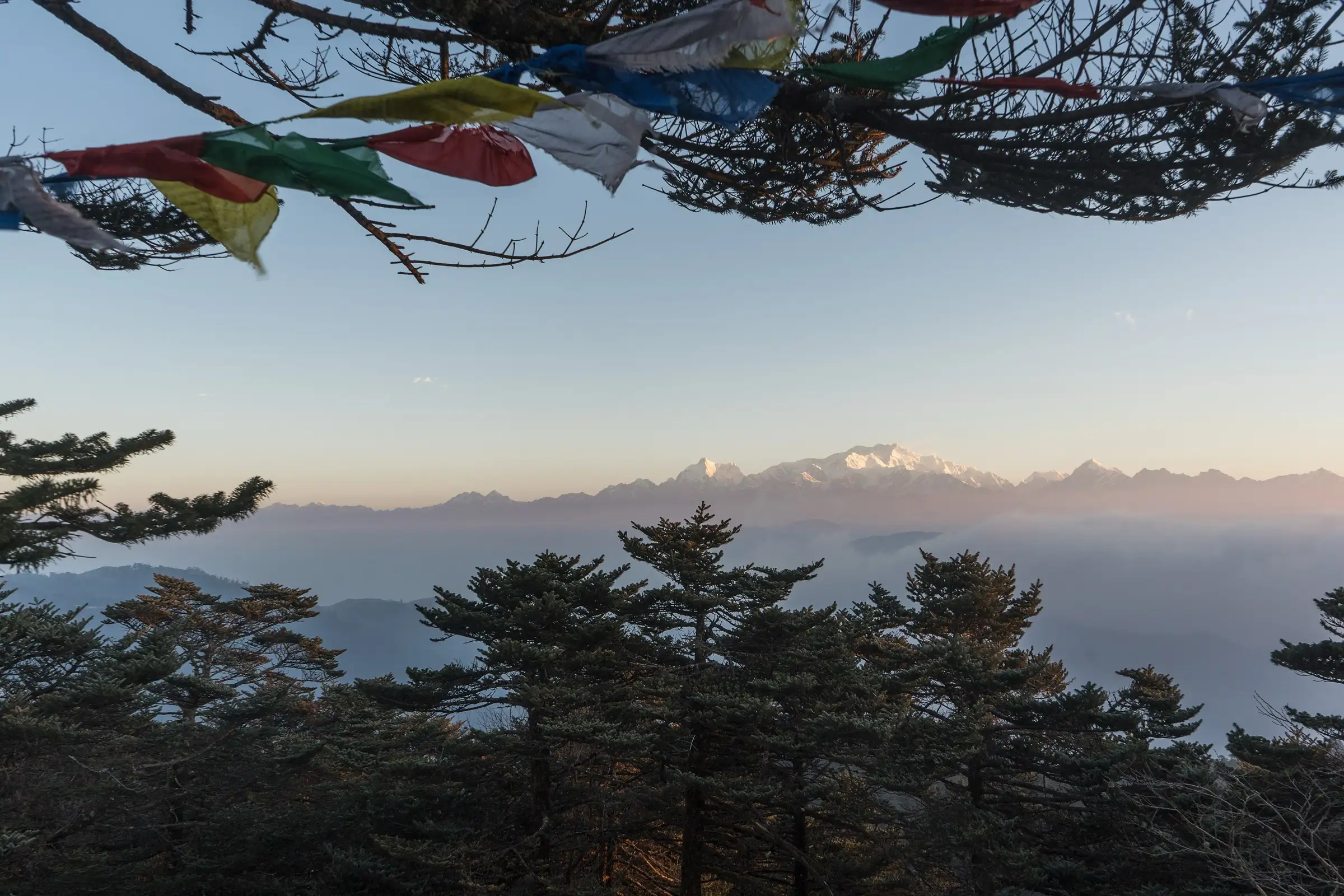
- Sunrise over the Sleeping Buddha (Kangchenjunga massif) from Sandakphu, West Bengal's highest point
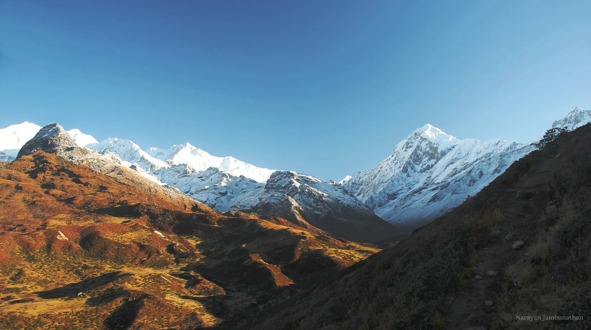
- Four of the world's five highest peaks — Everest, Lhotse, Makalu and Kangchenjunga — in one view from the ridge
- Walking the India–Nepal border through Singalila National Park, home of the red panda
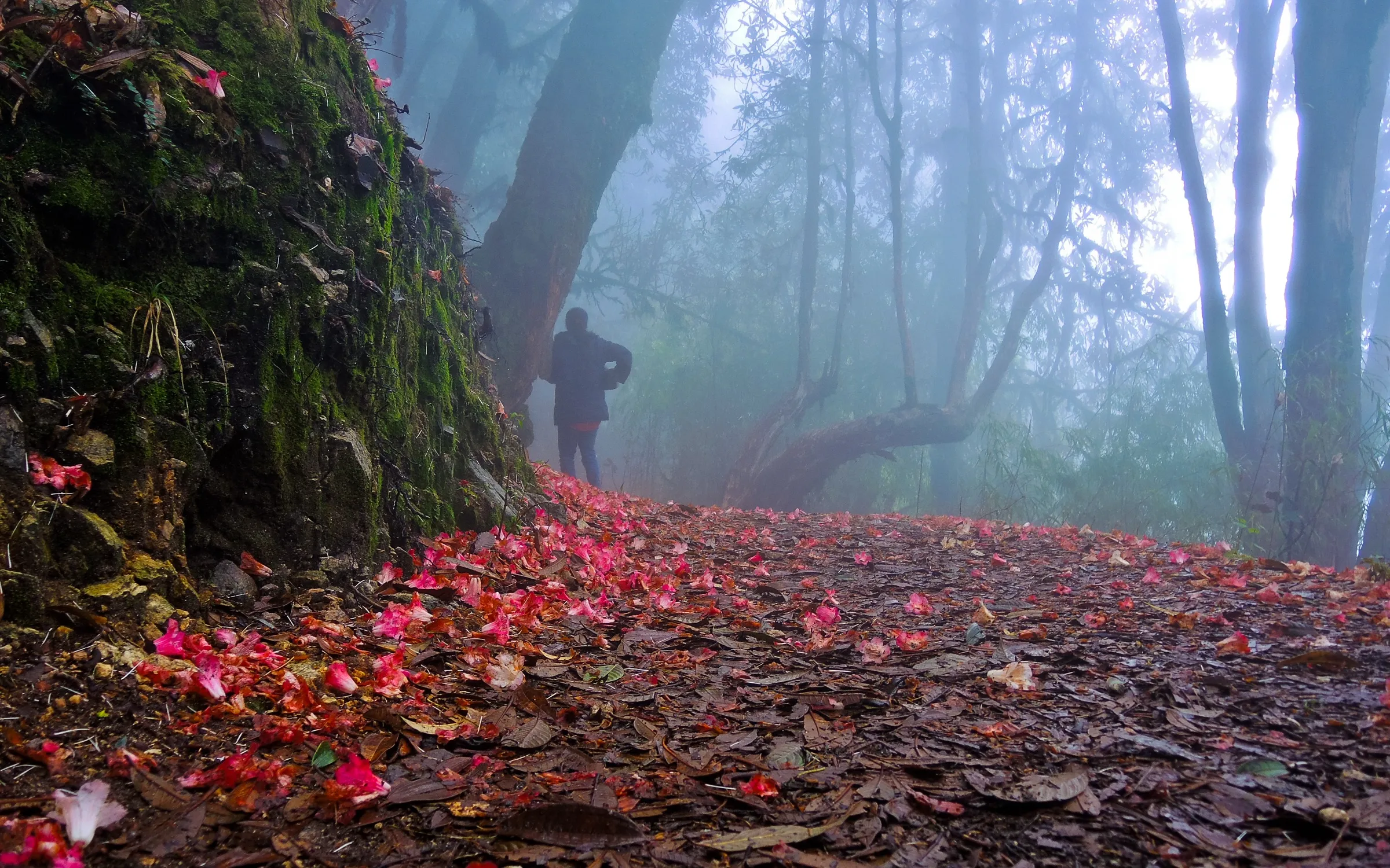
- Rhododendron and magnolia bloom in April–May; snow on the ridge in winter
- The empty 21 km Sandakphu–Phalut ridge walk, with no villages on the way
Risks
- Thick fog and whiteouts on the open ridge between Sandakphu and Phalut; easy to lose the trail without the mandatory guide
- Altitude above 3,500 m for two nights — watch for headache and nausea
- Cold winds and sub-zero nights, with snow and ice on the trail in winter
- Long water-less day from Sandakphu to Phalut
Know before you go
Questions
Is a guide compulsory on the Sandakphu Phalut trek?
Yes. Trekkers inside Singalila National Park must take a guide, hired at Manebhanjan/Dhotrey through the local guide and porter association, even though the trail is well marked. Jeep visitors do not need one.
Does the trek go into Nepal?
Yes. The trail follows the India–Nepal border and crosses and re-crosses it many times; parts of Tumling and the western side of Sandakphu lie in Nepal's Ilam District. Indian trekkers carry photo ID; foreign nationals should carry their passport and Indian visa, register at the Manebhanjan check post and avoid staying in lodges on the Nepal side.
When is the best time to do the trek?
October–December for the clearest mountain views, and March–May for rhododendrons. The park closes for the monsoon from mid-June to mid-September.
Which is higher, Sandakphu or Phalut?
Sandakphu (3,636 m) is the highest point of the trek and of West Bengal; Phalut, 21 km further north on the ridge, is about 3,600 m.
What are the park entry fees?
Fees are set by the West Bengal Forest Department and paid at the Singalila National Park gate. Travel guides quote per-day charges for Indians and foreigners plus camera fees, but we could not confirm the current rates on an official page — check at the Manebhanjan forest office.
In an emergency
Save these numbers before you lose signal. Tap to call.
- 112All emergenciesIndia’s single emergency number — works in every state
- 108Ambulance
- 1077District disaster control room
You are in
District: DarjeelingWest Bengal
- Nearest hospital
- Darjeeling District Hospital
- Last ATM
- Sukhiapokhri / Darjeeling (no reliable ATM at Manebhanjan)
- Phone network
- Patchy along the ridge; phones often pick up Nepali networks near the border; little or none at Phalut and Gorkhey
Before you set off
- Tell someone your route and when you will be back.
- Carry a charged phone and a power bank.
- Download an offline map of the route.
- Turn back if the weather turns bad — the mountain will wait.
Questions about Sandakphu Phalut
No questions yet. Ask something and trekkers who have done it can answer.
Share your trek photo with #TreksAndTrails
I trekked this
Did Sandakphu Phalut look different from this page? Tell us what changed and we will check it.
Where this comes from
Sources
Last reviewed:
- Sandakphu — Wikipedia
- Sandakphu–Phalut Trek — Wikivoyage
- The Guide: Singalila National Park — Roundglass Sustain
- Sandakphu Phalut Trek 2026 (7D/6N) — Himalayan High
- Sandakphu Phalut Trek — Bikat Adventures
- Sandakphu Phalut Trek — Himalayan Dream Treks
- Offbeat Trek from Srikhola to Sandakphu & Phalut — Darjeeling Tourism (darjeeling-tourism.com)
Photos: Alexkom000 / Wikimedia Commons, CC BY 4.0; Shilbhadra / Wikimedia Commons, CC BY-SA 3.0; Satadru306 / Wikimedia Commons, CC BY-SA 4.0