- Max altitude
- 4,600 m
- Days
- 10 days
- Distance
- 76 km
- Difficulty
- Difficult
Long days with fast height gain (over 1,000 m from Tshoka to Dzongri in one day), then a 12-14 hour summit day that starts around 2-3 am in freezing cold to reach View Point 1 at about 4,600 m, and roughly 35-40 km of descent afterwards.
Photos
On the trail
The route
Day by day
Day 1
Siliguri → Yuksom
120 m → 1,780 m
Day 2
Yuksom → Sachen
1,780 m → 2,255 m
Day 3
Sachen → Tshoka (via Bakhim)
2,255 m → 2,984 m
Day 4
Tshoka → Dzongri (via Phedang)
2,984 m → 4,020 m
Day 5
Dzongri → Dzongri (acclimatisation hike to Dzongri Top)
4,020 m → 4,167 m → 4,020 m
Day 6
Dzongri → Thansing (via Kokchurang)
4,020 m → 3,935 m
Day 7 · highest point
Thansing → Thansing (via Samiti Lake and View Point 1)
3,935 m → 4,600 m → 3,935 m
Day 8
Thansing → Tshoka (via Kokchurang and Phedang)
3,935 m → 2,984 m
Day 9
Tshoka → Yuksom
2,984 m → 1,780 m
Day 10
Yuksom → Siliguri
1,780 m → 120 m
Ups and downs
Altitude profile
Where it is
Map
Trailhead and high point only — not a recorded track. Use it with a proper map.
Weather
Next 5 days on the trail
Live forecast for the trailhead and the high point. Mountain weather changes fast — check again on the morning you start.
Trailhead · Yuksom
at 1,780 mLoading forecast…
High point · Goechala View Point 1 (above Zemathang)
at 4,600 mLoading forecast…
Each day: high / low °C · rain mm and chance · snow cm · wind km/h
Weather data: Open-Meteo.comModel forecast, not an official warning. For alerts follow IMD and the local administration.
Plan the trip
How to reach
- Trailhead
- Yuksom
- Nearest railway
- New Jalpaiguri (NJP)
- Nearest airport
- Bagdogra Airport (about 20 km from NJP)
- By road
- Siliguri / NJP (about 135-150 km via Melli, Jorethang and Pelling; 6-8 hours)
- Drive
- About 7 h from Siliguri
Plan the trip
Permits and fees
We could not confirm the current permit rules and fees from an official source. Check with the local forest department or tourism office before you go.
Plan the trip
Cost
Self-guided
₹15,000–25,000
With an operator
₹22,600–27,400
Per person, ex-Yuksom (add Siliguri-Yuksom transport). Guided prices published October 2026: Bikat Adventures ₹21,500 + 5% GST (about ₹22,575); Indiahikes ₹22,450 + 5% GST Yuksom to Yuksom, plus ₹3,600 for Siliguri-Yuksom return transport (about ₹27,400 in all). Self-guided is an estimate: a local Yuksom agency's guide, cook and porters or yaks, tent hire, food, Khangchendzonga National Park fees paid at the Yuksom forest check post, and shared jeeps from Siliguri. Foreign nationals pay an extra special trek permit fee (operators quote ₹2,500).
Gear
Top picks for this trek
The gear that matters most on this route, chosen from its altitude, season and risks.
 Ad · affiliate link
 Ad · affiliate link
 Ad · affiliate link
 Ad · affiliate link
 Ad · affiliate link
 Ad · affiliate link
 Ad · affiliate link
 Ad · affiliate link
Store buttons open a search on that store, not a product we picked. As an Amazon Associate we earn from qualifying purchases. Photos show the kind of item, not a specific product. Affiliate disclosure
Packing checklist
Matched to this trek: altitude, season, days and the risks on the route.
Packed 0 of 34
Snow on the trail in Mar: microspikes, gaiters and a warm layer are not optional.
Tick each item as it goes in the bag.
Know before you go
Good to know
- Mobile network
- Airtel and Vodafone work at Yuksom (sometimes 4G); no reception beyond Yuksom apart from an occasional signal at Tshoka.
- Last ATM
- Jorethang on the drive in (Yuksom ATMs are unreliable); withdraw cash before leaving Siliguri.
- Nearest hospital
- Small clinic at Yuksom for first aid; nearest hospital at Pelling (about 30 km); Siliguri for serious cases.
- Water
- Streams on the forest stretches up to Tshoka; Kokchurang is the only refill between Dzongri and Thansing, and there is no water on the View Point 1 summit day or on the Thansing-Tshoka return. Treat all water.
Highlights
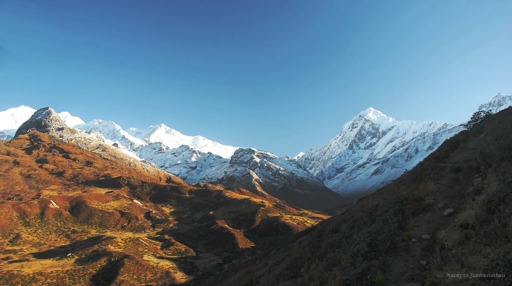
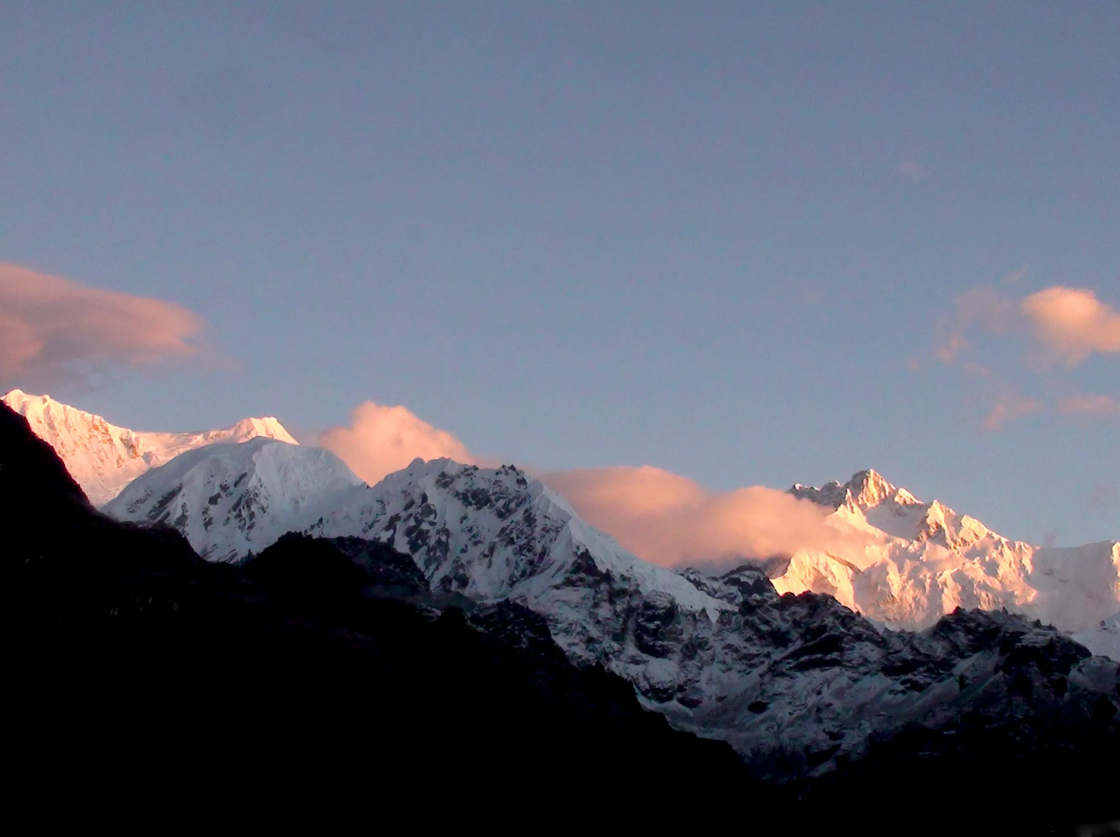
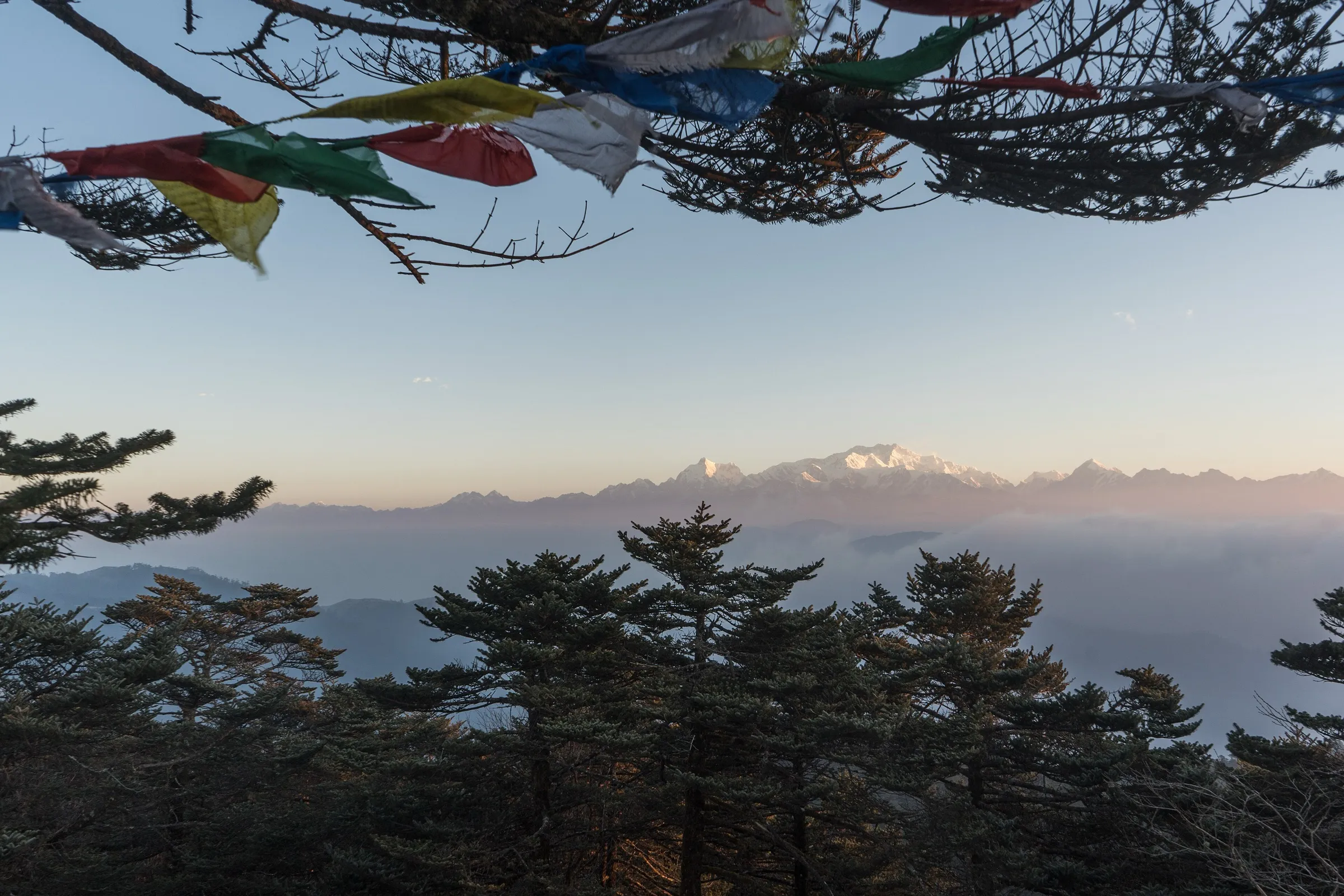
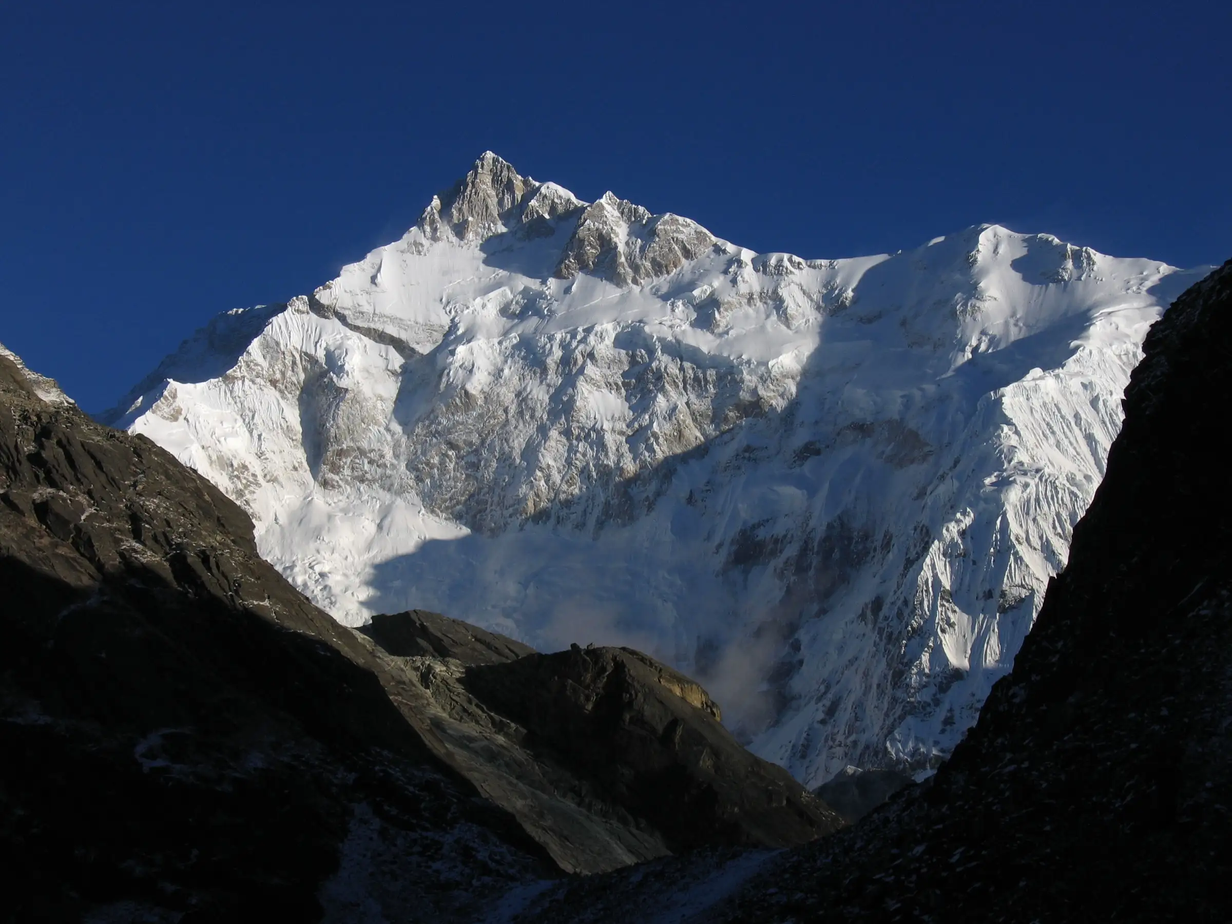
- Sunrise on the south-east face of Kanchenjunga (8,586 m), the world's third-highest mountain, from View Point 1
- Sunrise over the Kanchenjunga and Kabru ranges from Dzongri Top on the acclimatisation day
- The still blue Samiti Lake below Mt Pandim, and the open Thansing meadow
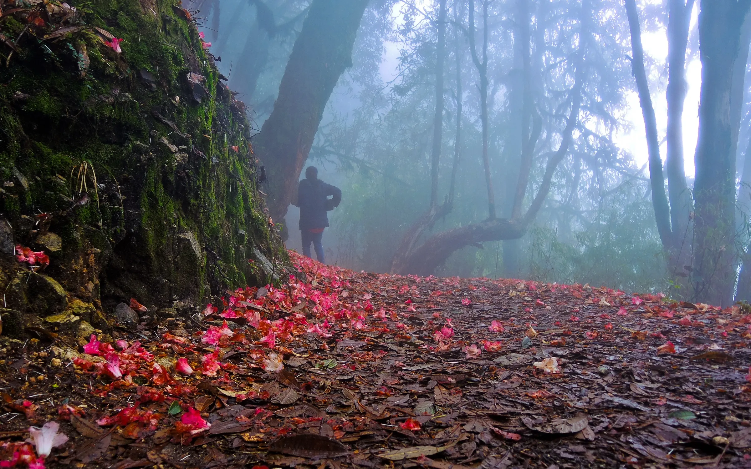
- Moss-hung oak, magnolia and rhododendron forest inside Khangchendzonga National Park, a UNESCO World Heritage Site, with rhododendrons in bloom in April-May
- Tshoka's small monastery beside a pond
Risks
- Summit day is 12-14 hours: a start around 2-3 am in the dark and cold to View Point 1, then back to Thansing, with no water on the way.
- Rapid altitude gain from Tshoka to Dzongri (about 1,000 m in a day); watch for altitude sickness.
- Weather is unstable year-round; fresh snow near Dzongri is likely in spring and late October and can cover the trail.
- June-August monsoon brings torrential rain, landslides on the access roads and leeches in the forest; Indiahikes calls it 'not advisable' and Bikat Adventures says the season is 'best avoided', and July-September falls outside the official Sikkim trekking season. Winter (December-February) is icy and very hard.
- Citizens of some countries (including Bangladesh, Pakistan, China and Myanmar) cannot trek in Sikkim without a special Home Ministry permit, and foreigners must trek in a group of two or more.
Know before you go
Questions
Do trekkers actually reach Goecha La pass?
Usually not. Treks today end at View Point 1 (about 4,600 m), above Samiti Lake and Zemathang, which faces Kanchenjunga close up. The pass itself (about 4,940 m) lies beyond, and Indiahikes, Trek The Himalayas and Bikat Adventures all turn back at View Point 1.
How difficult is the Goechala trek?
It is rated difficult. Most days are 6-9 km, but the climb from Tshoka to Dzongri gains over 1,000 m, and summit day is about 16 km and 12-14 hours. Operators ask that you can run 5 km in about 30 minutes before you sign up.
What is the best time to do Goechala?
March to May, for rhododendrons and some snow, and October to November, for the clearest views of Kanchenjunga after the monsoon. The official Sikkim season is mid-March to mid-June and October to December. Avoid June to August (monsoon) and expect ice and deep cold in winter.
What permits are needed for Goechala?
Indian trekkers register at the Yuksom police station with photo ID and pay Khangchendzonga National Park and camping fees at the Yuksom forest check post. Foreign nationals also need the Sikkim Inner Line Permit and a special trekking permit issued in Gangtok. We could not confirm current official fees, so check at Yuksom or with a registered Sikkim operator.
How do I reach Yuksom?
Fly to Bagdogra or take a train to New Jalpaiguri (NJP), then drive about 135-150 km (6-8 hours) from Siliguri to Yuksom. Shared jeeps run via Jorethang; operators run a pickup from Siliguri or NJP around 9-10 am.
In an emergency
Save these numbers before you lose signal. Tap to call.
- 112All emergenciesIndia’s single emergency number — works in every state
- 108Ambulance
- 1077District disaster control room
You are in
District: Gyalshing (West Sikkim)Sikkim
- Nearest hospital
- Small clinic at Yuksom for first aid; nearest hospital at Pelling (about 30 km); Siliguri for serious cases.
- Last ATM
- Jorethang on the drive in (Yuksom ATMs are unreliable); withdraw cash before leaving Siliguri.
- Phone network
- Airtel and Vodafone work at Yuksom (sometimes 4G); no reception beyond Yuksom apart from an occasional signal at Tshoka.
Before you set off
- Tell someone your route and when you will be back.
- Carry a charged phone and a power bank.
- Download an offline map of the route.
- Turn back if the weather turns bad — the mountain will wait.
Questions about Goechala
No questions yet. Ask something and trekkers who have done it can answer.
Share your trek photo with #TreksAndTrails
I trekked this
Did Goechala look different from this page? Tell us what changed and we will check it.
Where this comes from
Sources
Last reviewed:
- Adventure Tourism (Khangchendzonga Trek) — Tourism & Civil Aviation Department, Government of Sikkim (official)
- The Goecha La–Dzongri trek in Khangchendzonga National Park awarded as the Best Trekking Circuit — Forest & Environment Department, Government of Sikkim (IPR press release) (official)
- Goechala Trek — Indiahikes
- Goechala Through the Seasons — Indiahikes
- Goechala Trek — Trek The Himalayas
- Goechala Trek — Bikat Adventures
- Best time for Goecha La Trek — Bikat Adventures
- Goecha La — Wikipedia
Photos: Ashinpt at enwiki, CC BY-SA 3.0; Abhishek532, CC BY-SA 4.0; Anupam2015, CC BY-SA 4.0; Carsten.nebel, CC BY 3.0