Kasturi Orar Trek
Gyalshing (West Sikkim), Sikkim
Opens without signal on this phone, with the map file and checklist. Saved for offline →
- Max altitude
- 4,300 m
- Days
- 9 days
- Distance
- 84 km
- Difficulty
- Challenging
Seven trekking days in Khangchendzonga National Park with several camps near 4,000 m, a 17 km day from Thansing to Chamrey on steep rocky ground, a high crossing via Lampokhari and Kasturi La, then a descent of about 1,750 m to Labdang in one day. Very remote, with no easy evacuation from the eastern ridge.
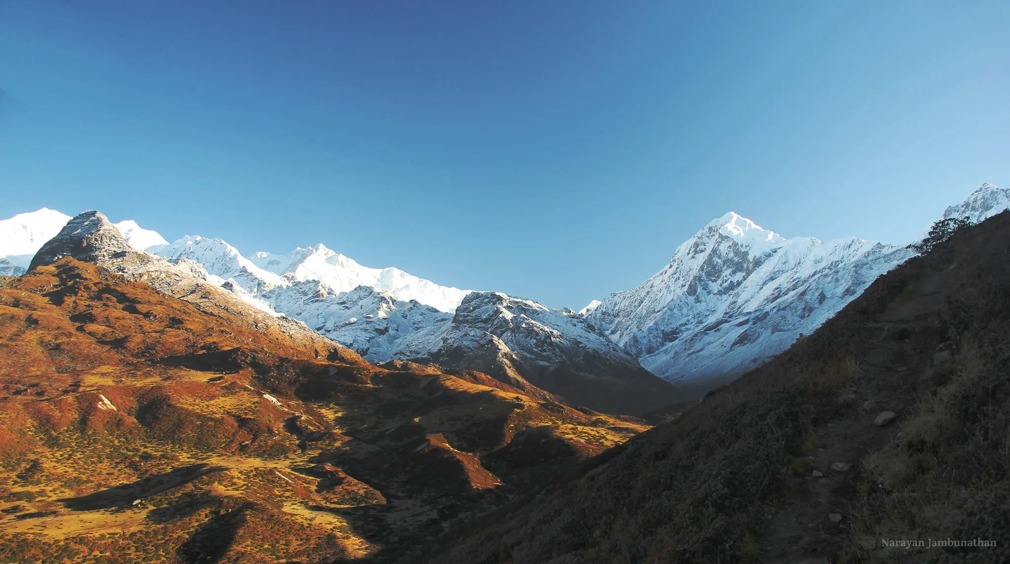
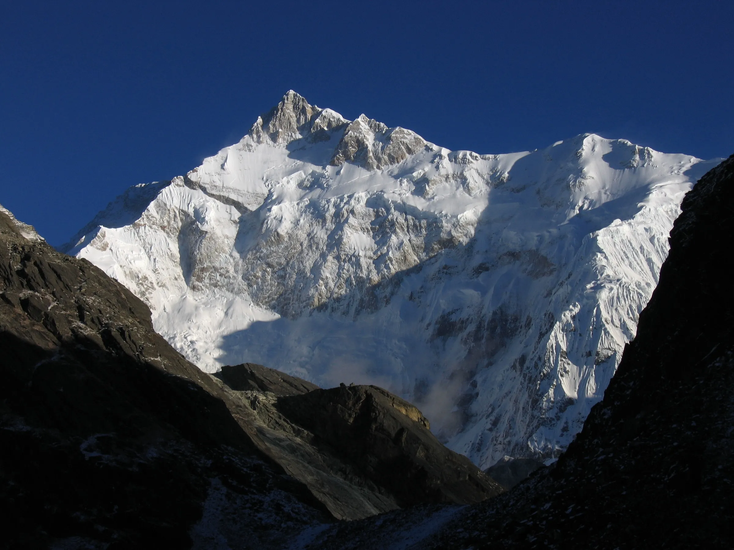
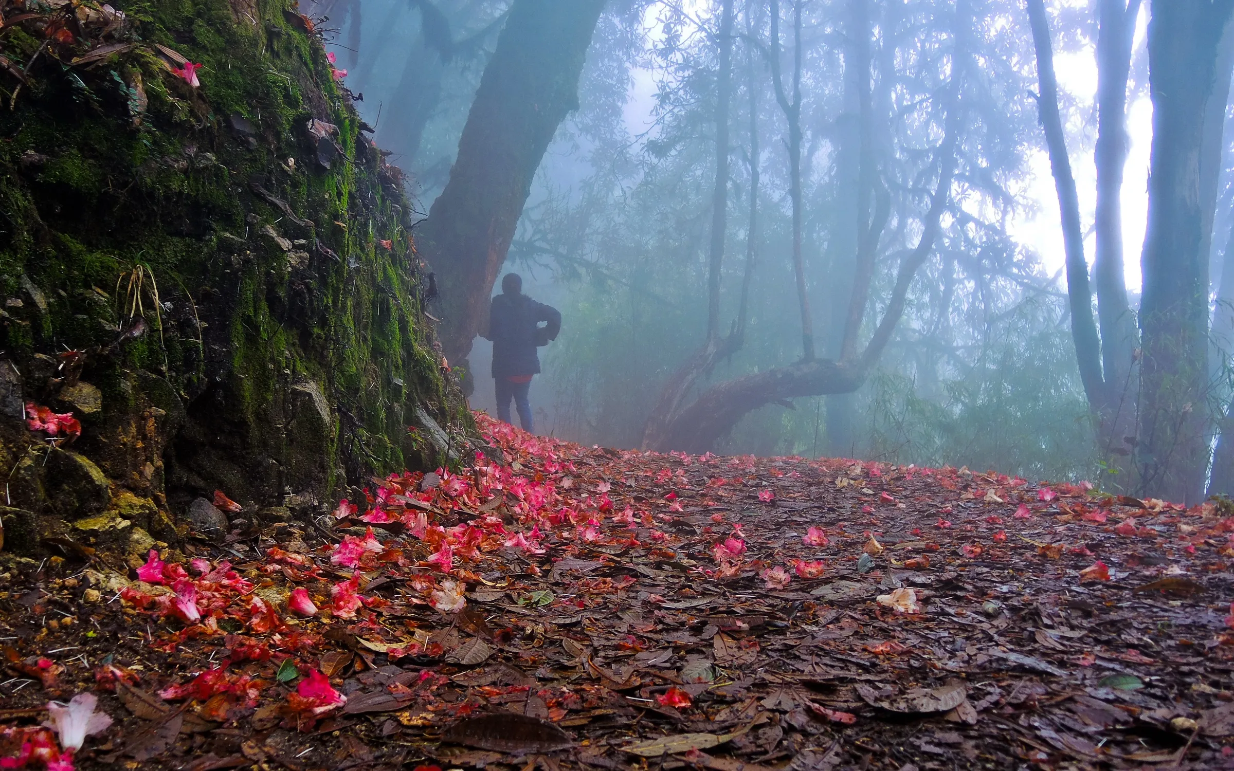
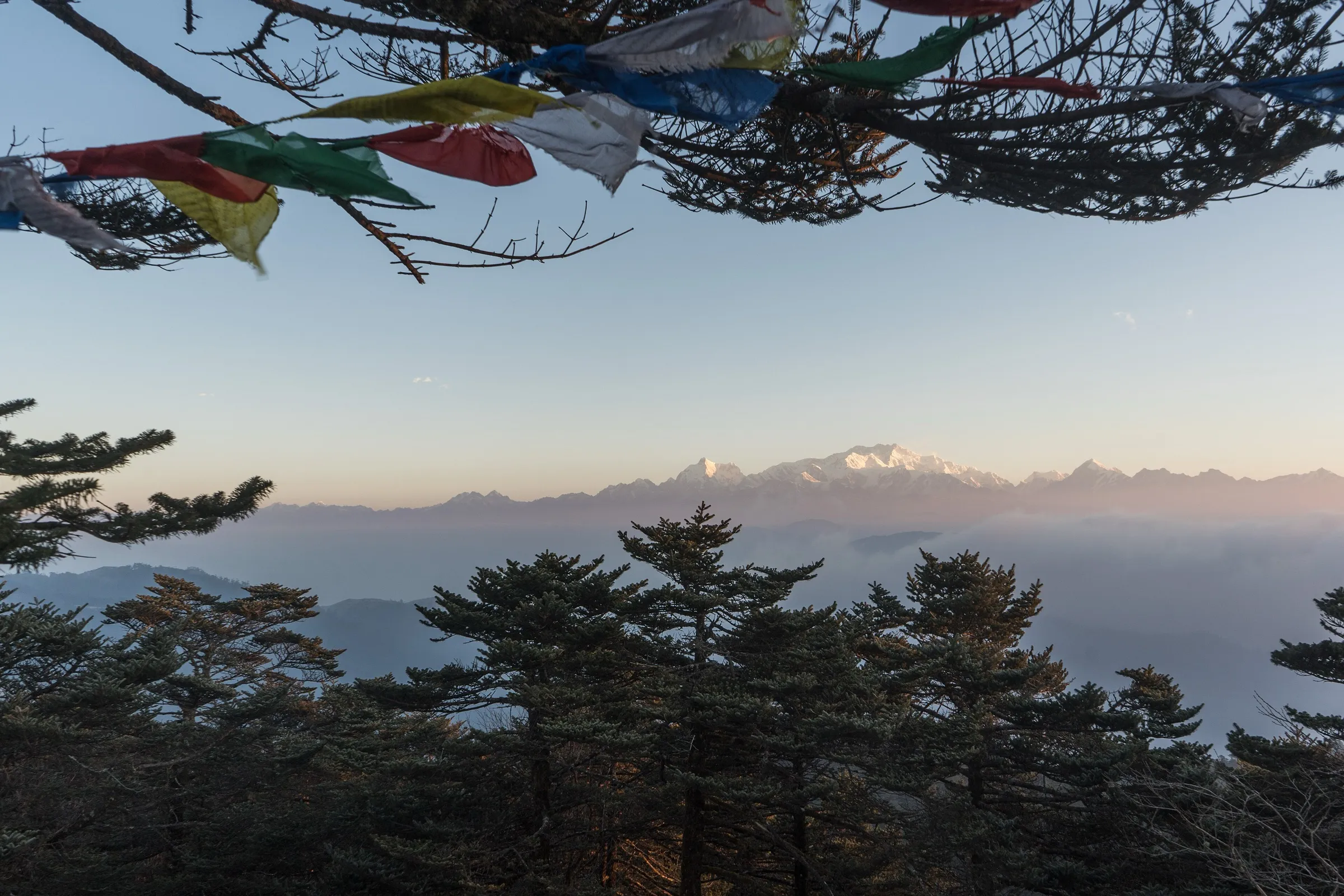
Photos
On the trail
The route
Day by day
Day 1
Siliguri / Bagdogra → Yuksom
130 m → 1,706 m
Day 2
Yuksom → Tshoka (via Sachen and Bakhim)
1,706 m → 2,956 m
Day 3
Tshoka → Dzongri (via Phedang and Deurali Top)
2,956 m → 3,980 m → 3,960 m
Day 4
Dzongri → Dzongri (sunrise hike to Dzongri Top, acclimatisation)
3,960 m → 4,200 m → 3,960 m
Day 5
Dzongri → Thansing (via Kokchurang)
3,960 m → 3,890 m
Day 6
Thansing → Chamrey
3,890 m → 4,150 m
Day 7 · highest point
Chamrey → Kasturi Orar (via Lampokhari and Kasturi La)
4,150 m → 4,300 m → 3,650 m
Day 8
Kasturi Orar → Labdang
3,650 m → 1,900 m
Day 9
Labdang → Siliguri / Bagdogra (drive via Tashiding and Jorethang)
1,900 m → 130 m
Ups and downs
Altitude profile
Where it is
Map
Trailhead and high point only — not a recorded track. Use it with a proper map.
Weather
Next 5 days on the trail
Live forecast for the trailhead and the high point. Mountain weather changes fast — check again on the morning you start.
Trailhead · Yuksom
at 1,706 mLoading forecast…
High point · Lampokhari (lake camp on the ridge above Kokchurang)
at 4,300 mLoading forecast…
Each day: high / low °C · rain mm and chance · snow cm · wind km/h
Weather data: Open-Meteo.comModel forecast, not an official warning. For alerts follow IMD and the local administration.
Plan the trip
How to reach
- Trailhead
- Yuksom
- Nearest railway
- New Jalpaiguri (NJP)
- Nearest airport
- Bagdogra Airport
- By road
- Siliguri / NJP to Yuksom (about 150-160 km via Melli, Jorethang and Legship; about 7 hours); Labdang back to Siliguri (about 170 km via Tashiding, Jorethang and Melli; about 6 hours)
- Drive
- About 7 h from Siliguri
Plan the trip
Permits and fees
We could not confirm the current permit rules and fees from an official source. Check with the local forest department or tourism office before you go.
Plan the trip
Cost
Self-guided
₹20,000–35,000
With an operator
₹61,000–85,000
Per person, ex-Siliguri/Bagdogra. Only one operator publishes a price for this route: Himalayan High lists its 12-day Goecha La–Kasturi La circuit at ₹61,000 (Basic) to ₹85,000 (Premium) per person for larger groups, more for small teams. No second operator price was found. Self-guided is an estimate: a registered Yuksom agency's guide, cook and porters for 7 trekking days, tent hire, food, Khangchendzonga National Park fees at Yuksom, and separate jeeps in to Yuksom and out from Labdang.
Gear
Top picks for this trek
The gear that matters most on this route, chosen from its altitude, season and risks.
 Ad · affiliate link
 Ad · affiliate link
 Ad · affiliate link
 Ad · affiliate link
 Ad · affiliate link
 Ad · affiliate link
 Ad · affiliate link
 Ad · affiliate link
Store buttons open a search on that store, not a product we picked. As an Amazon Associate we earn from qualifying purchases. Photos show the kind of item, not a specific product. Affiliate disclosure
Packing checklist
Matched to this trek: altitude, season, days and the risks on the route.
Packed 0 of 33
Snow on the trail in Mar: microspikes, gaiters and a warm layer are not optional.
Tick each item as it goes in the bag.
Know before you go
Good to know
- Mobile network
- Mobile signal at Yuksom; Himalayan High says coverage on the trek is only partial, and internet is available only in the base villages.
- Last ATM
- Jorethang on the drive in (Yuksom ATMs are unreliable); carry cash from Siliguri.
- Nearest hospital
- Clinic at Yuksom for first aid; Siliguri for serious cases. Evacuation may not be possible from every high camp.
- Water
- Streams on the forest stretches to Tshoka and at Kokchurang; small lakes around Lampokhari. Treat all water.
Highlights
- A true traverse: you walk in from Yuksom and out to Labdang on the far ridge instead of retracing the Goechala trail
- The little-walked high section from Thansing over Chamrey and the Lampokhari lakes to the Kasturi Orar camp
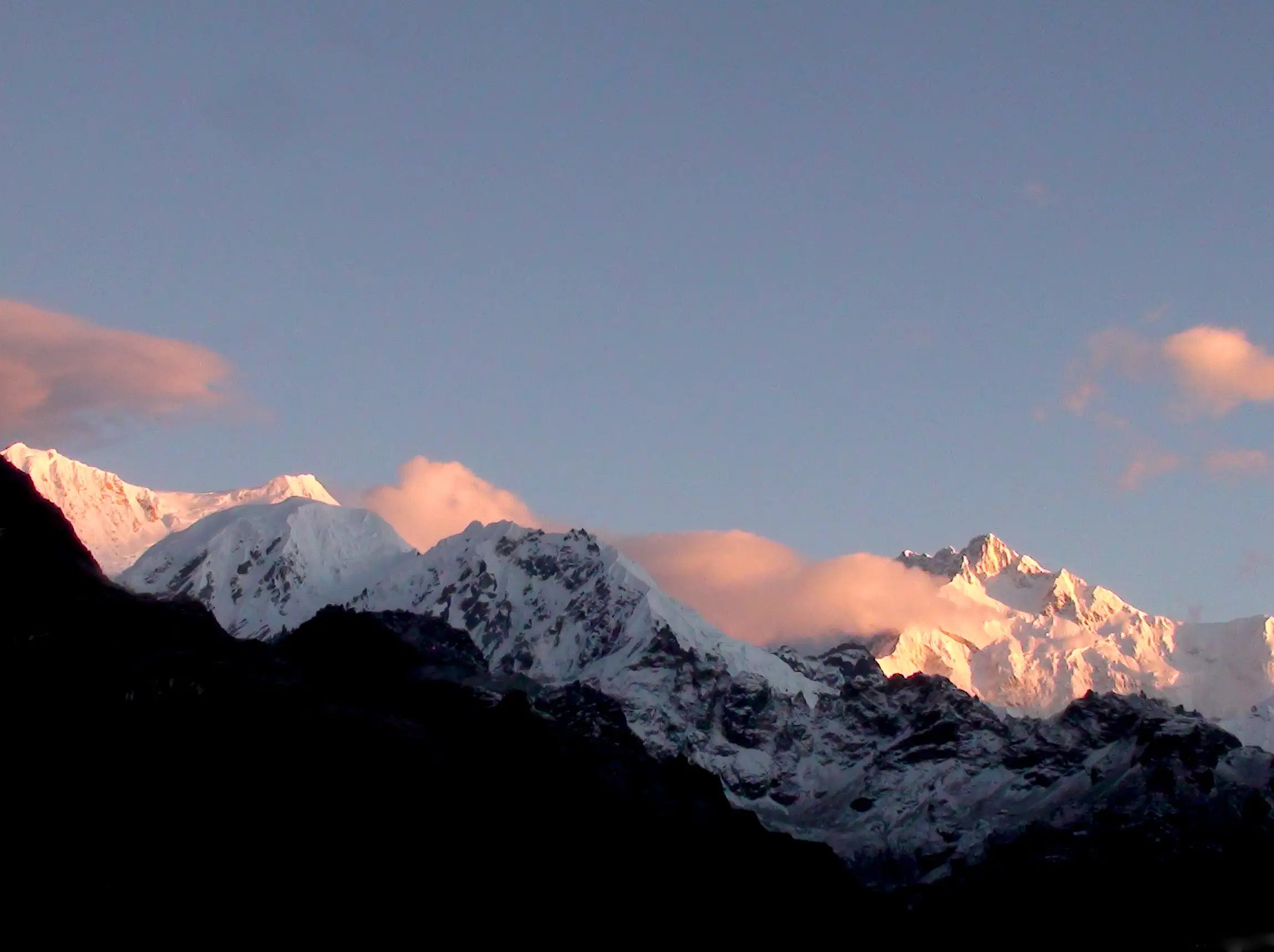
- Sunrise over Kabru and Kanchenjunga from Dzongri Top on the way in
- A long descent from the alpine ridge through dense rhododendron and oak forest to Labdang village
Risks
- Thansing to Chamrey is about 17 km on steep, rocky ground, and the Lampokhari–Kasturi section is remote with few other trekkers; go only with a registered Yuksom guide who knows the route.
- Altitude gain from Tshoka to Dzongri is about 1,000 m in a day; watch for altitude sickness.
- Kasturi Orar to Labdang drops about 1,750 m in one day, hard on knees.
- June-September monsoon brings heavy rain, leeches and landslides on the roads; winter brings deep snow on the high ridge.
- Foreign nationals need the Sikkim Inner Line Permit and a special trekking permit, and some nationalities cannot trek in Sikkim without a Home Ministry permit.
Know before you go
Questions
How is the Kasturi Orar trek different from Goechala?
Goechala goes from Yuksom to Thansing and View Point 1 and returns the same way. The Kasturi Orar route shares the trail as far as Dzongri and Thansing, then turns off over Chamrey, the Lampokhari lakes and Kasturi La to the Kasturi Orar camp, and comes down to Labdang near Tashiding. Many operators add a Goechala side trip from Thansing; this page lists the route without it, which adds one or two days.
How long does the Kasturi Orar trek take?
Operator itineraries run from 12 days (Himalayan High; Holidays in Sikkim) to 15 days (Adarsh Tours, Tour My India). The longer packages add sightseeing in Gangtok or Pelling and a Goechala side trip. The core walk from Yuksom to Labdang takes about 7 trekking days.
When is the best time to do the Kasturi Orar trek?
Spring (March to May, rhododendrons in bloom) and autumn (October to November, clearest mountain views). Operators also list September and December, but September can be wet and December very cold on the high ridge.
What permits do I need?
The route lies in Khangchendzonga National Park. Indian trekkers register at Yuksom and pay park and camping fees at the Yuksom forest check post or Wildlife Education and Interpretation Centre; foreign nationals also need a Sikkim Inner Line Permit and a special trekking permit. We could not confirm current official fees, so check at Yuksom.
Where does the trek end?
At Labdang, a village on the ridge above Tashiding in West Sikkim. From there vehicles go down via Tashiding to Jorethang and Siliguri.
In an emergency
Save these numbers before you lose signal. Tap to call.
- 112All emergenciesIndia’s single emergency number — works in every state
- 108Ambulance
- 1077District disaster control room
You are in
District: Gyalshing (West Sikkim)Sikkim
- Nearest hospital
- Clinic at Yuksom for first aid; Siliguri for serious cases. Evacuation may not be possible from every high camp.
- Last ATM
- Jorethang on the drive in (Yuksom ATMs are unreliable); carry cash from Siliguri.
- Phone network
- Mobile signal at Yuksom; Himalayan High says coverage on the trek is only partial, and internet is available only in the base villages.
Before you set off
- Tell someone your route and when you will be back.
- Carry a charged phone and a power bank.
- Download an offline map of the route.
- Turn back if the weather turns bad — the mountain will wait.
Questions about Kasturi Orar
No questions yet. Ask something and trekkers who have done it can answer.
Share your trek photo with #TreksAndTrails
I trekked this
Did Kasturi Orar look different from this page? Tell us what changed and we will check it.
Where this comes from
Sources
Last reviewed:
- Goecha La - Kasturi La Circuit Trek (2026, 12 Days) — Himalayan High
- Kasturi Orar Tound Trek Tour — Holidays in Sikkim Trek Tour & Travels (Halder Tours & Travels)
- Kasturi Labdang Trek — Adarsh Tours and Travels
- Top Trails in Sikkim for High Altitude Trekking — Tour My India
- Sikkim and Kanchenjunga Trekking — Indianetzone
- Kanchenjunga National Park — Holidify
Photos: Anupam2015, CC BY-SA 4.0; Mahesh Gudladona, CC BY 3.0; Mahesh Gudladona, CC BY 3.0