Sach Pass Trek
Chamba, Himachal Pradesh
Opens without signal on this phone, with the map file and checklist. Saved for offline →
- Max altitude
- 4,414 m
- Days
- 8 days
- Distance
- 91 km
- Difficulty
- Difficult
Operators rate it moderate to difficult: a long, steep climb from Satrundi to a 4,414 m pass with snow and glacier patches, then several long valley days (one of about 24 km) in remote Pangi with few facilities.
Photos
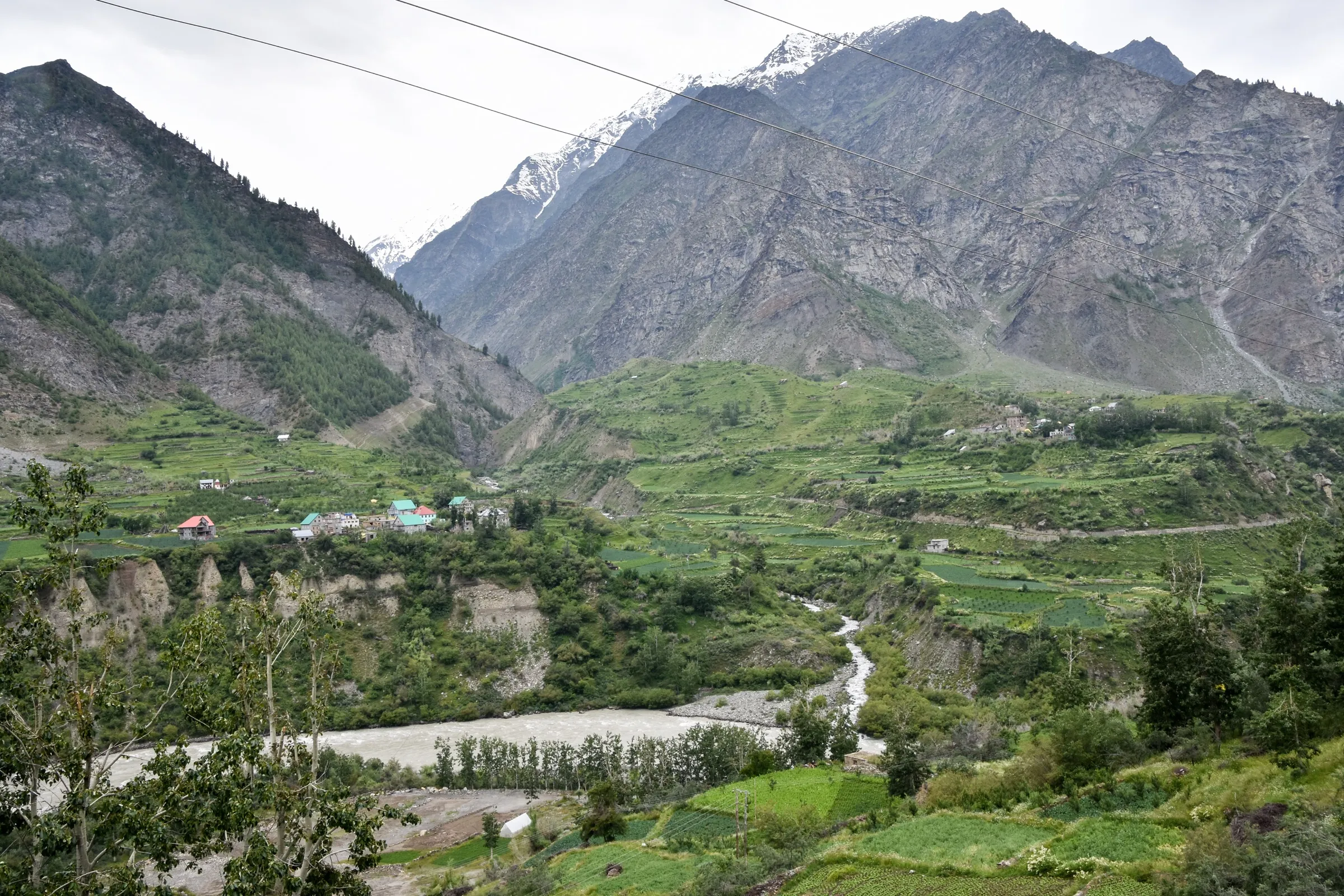
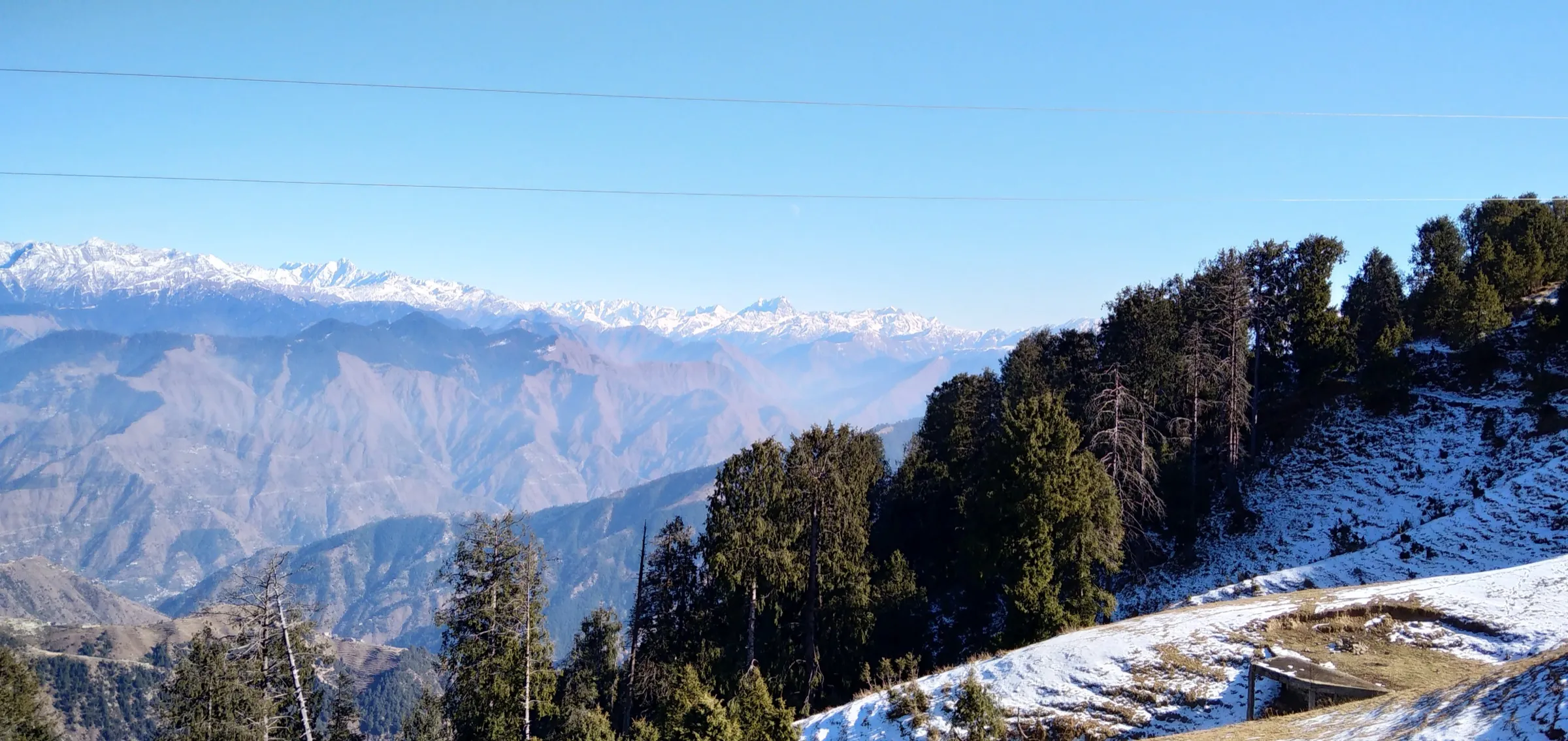
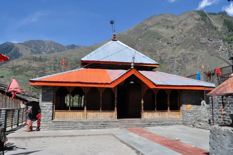
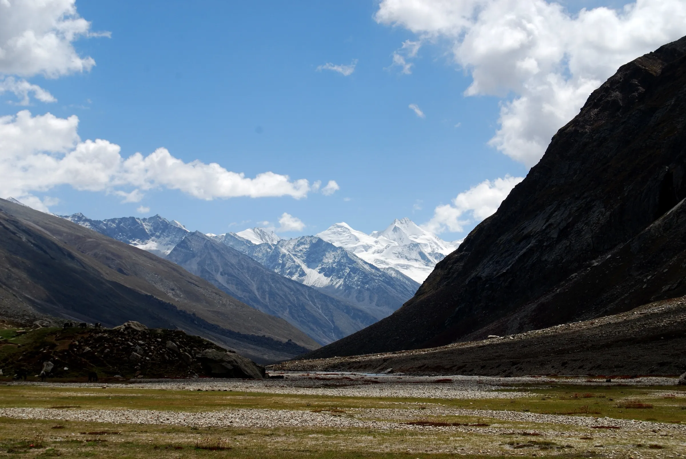
On the trail
The route
Day by day
Day 1
Dharamshala → Chamba
1,450 m → 1,000 m
Day 2
Chamba → Traila
1,000 m → 2,500 m
Day 3
Traila → Satrundi
2,500 m → 2,900 m
Day 4 · highest point
Satrundi → Bindrabani
2,900 m → 4,414 m → 2,750 m
Day 5
Bindrabani → Killar
2,750 m → 2,400 m
Day 6
Killar → Purthi
2,400 m → 2,200 m
Day 7
Purthi → Raoli
2,200 m → 2,000 m
Day 8
Raoli → Manali
2,000 m → 2,050 m
Ups and downs
Altitude profile
Where it is
Map
Trailhead and high point only — not a recorded track. Use it with a proper map.
Weather
Next 5 days on the trail
Live forecast for the trailhead and the high point. Mountain weather changes fast — check again on the morning you start.
Trailhead · Traila
at 2,500 mLoading forecast…
High point · Sach Pass (Sachche Jot)
at 4,414 mLoading forecast…
Each day: high / low °C · rain mm and chance · snow cm · wind km/h
Weather data: Open-Meteo.comModel forecast, not an official warning. For alerts follow IMD and the local administration.
Plan the trip
How to reach
- Trailhead
- Traila (nearest town: Chamba)
- Nearest railway
- Pathankot
- Nearest airport
- Kangra (Gaggal) Airport
- By road
- Chamba (Sach Pass road via Tissa and Bairagarh; the pass is about 131 km from Chamba); Dharamshala (operators' pick-up point, driving via Chamba)
- Drive
- About 9 h from Pathankot
Plan the trip
Permits and fees
We could not confirm the current permit rules and fees from an official source. Check with the local forest department or tourism office before you go.
Plan the trip
Cost
Self-guided
₹7,000–14,000
With an operator
₹14,000–25,000
Per person, ex-Dharamshala. Few operators publish a price: Fantasy World Holidays lists its 8-day Dharamshala–Chamba–Traila–Sach Pass–Raoli package from ₹13,999 per person (October 2026); Himalayan Hikers and Tour My India quote on request. The upper end is an estimate for a fully supported camping group. Self-guided is an estimate: bus or shared taxi to Chamba and Bairagarh/Traila, a local guide and porter or mule for the camping days, tent hire, and transport out of Pangi via Killar.
Gear
Top picks for this trek
The gear that matters most on this route, chosen from its altitude, season and risks.
 Ad · affiliate link
 Ad · affiliate link
 Ad · affiliate link
 Ad · affiliate link
 Ad · affiliate link
 Ad · affiliate link
 Ad · affiliate link
 Ad · affiliate link
Store buttons open a search on that store, not a product we picked. As an Amazon Associate we earn from qualifying purchases. Photos show the kind of item, not a specific product. Affiliate disclosure
Packing checklist
Matched to this trek: altitude, season, days and the risks on the route.
Packed 0 of 36
Snow on the trail in Jun, Oct: microspikes, gaiters and a warm layer are not optional.
Tick each item as it goes in the bag.
Know before you go
Good to know
- Mobile network
- Patchy; expect no signal between Traila and Killar. Check locally, BSNL is the most common network in Pangi.
- Last ATM
- Tissa or Chamba on the Chamba side; Killar on the Pangi side (cash may be scarce).
- Nearest hospital
- Civil Hospital Killar (Pangi) and the hospital at Tissa for first care; Chamba for serious cases.
- Water
- Streams and snow-melt along the Satrundi and Bindrabani sections; boil or treat all water.
Highlights
- Cross the 4,414 m Sach Pass (Sachche Jot), the old village route from the Chamba valley into the Pangi valley
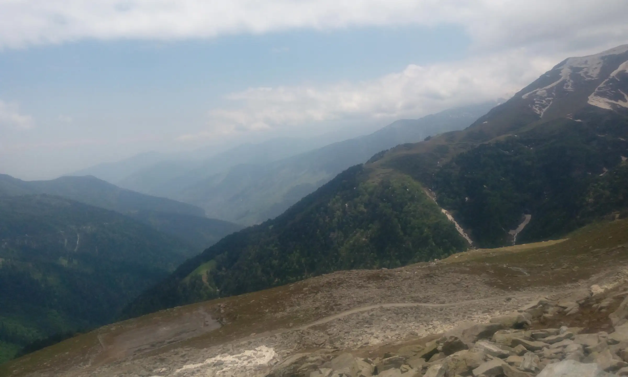
- Wide views of the Pir Panjal range, snow walls and hanging glaciers from the top
- Forest trail through Bhanodi to the Satrundi camp below the pass
- Walk down through Bindrabani into the deep Chenab gorge at Killar and on to Purthi and Raoli
Risks
- Altitude sickness on the long climb from Satrundi (2,900 m) to the pass (4,414 m) in one day; go slowly and turn back if symptoms worsen.
- Snow and glacier crossings near the top and towards Bindrabani, especially in June and October; ice forms early and late in the day.
- Sudden snowfall from late September onwards can strand travellers; the pass usually closes by mid-October and Pangi is then cut off from Chamba.
- Much of the route runs close to the narrow Sach Pass road; watch for vehicles, rockfall and landslides, especially in the July–August monsoon on the Chamba side.
- Remote area: little mobile signal and limited medical help between Traila and Killar.
- A rope-bridge crossing of the Chandrabhaga (Chenab) on the Purthi–Raoli day.
Know before you go
Questions
When is Sach Pass open?
Roughly from late May or June to mid-October, varying every year. Snow closes it in winter and the Chamba district administration then issues a formal order closing the road. September is the most comfortable window; plan to cross by the first week of October.
How high is Sach Pass?
4,414 m (about 14,500 ft). Trek operators usually round it to 4,500 m.
Do I need a permit for Sach Pass?
No special permit is reported for Indian nationals. Rules can change each season, so check with the Chamba district administration or the police post on the way before you go.
Where does the Sach Pass trek start and end?
Operators run it from Dharamshala: a drive to Chamba and Traila, then walking via Bhanodi to Satrundi, over the pass to Bindrabani and Killar, and on through Purthi to Raoli, with a drive out to Manali via Keylong.
What is Sach Pass now called?
It has been renamed Sachche Jot (also written Sache Jot); 'Sach Pass' or 'Saach Pass' is the older name still used by most travellers.
In an emergency
Save these numbers before you lose signal. Tap to call.
- 112All emergenciesIndia’s single emergency number — works in every state
- 108Ambulance
- 1077District disaster control room
You are in
District: ChambaHimachal Pradesh
- Nearest hospital
- Civil Hospital Killar (Pangi) and the hospital at Tissa for first care; Chamba for serious cases.
- Last ATM
- Tissa or Chamba on the Chamba side; Killar on the Pangi side (cash may be scarce).
- Phone network
- Patchy; expect no signal between Traila and Killar. Check locally, BSNL is the most common network in Pangi.
Before you set off
- Tell someone your route and when you will be back.
- Carry a charged phone and a power bank.
- Download an offline map of the route.
- Turn back if the weather turns bad — the mountain will wait.
Questions about Sach Pass
No questions yet. Ask something and trekkers who have done it can answer.
Share your trek photo with #TreksAndTrails
I trekked this
Did Sach Pass look different from this page? Tell us what changed and we will check it.
Where this comes from
Sources
Last reviewed:
- Sach Pass Trek 2026 | Conquer the Stunning Pir Panjal Trail — Himalayan Hikers
- Sach Pass Trek — Tour My India
- Sach Pass Trekking Tour 7N - 8D — Fantasy World Holidays
- Saach Pass — Wikipedia
- Sach Pass Closing 2026: The Last Window to Cross Before Winter Shutdown — Discover with Dheeraj
- Sach Pass closed for winter — The Tribune
Photos: Sunilbanger, CC BY-SA 4.0; Rupak Sarkar, CC BY-SA 4.0; Anshuzsnowy7, CC BY-SA 3.0