Darati Pass Trek
Chamba (Churah) and Lahaul and Spiti (Udaipur), Himachal Pradesh
Opens without signal on this phone, with the map file and checklist. Saved for offline →
- Max altitude
- 4,700 m
- Satellite terrain suggests about 4,599 m
- Days
- 3 days
- Distance
- 31 km
- Difficulty
- Challenging
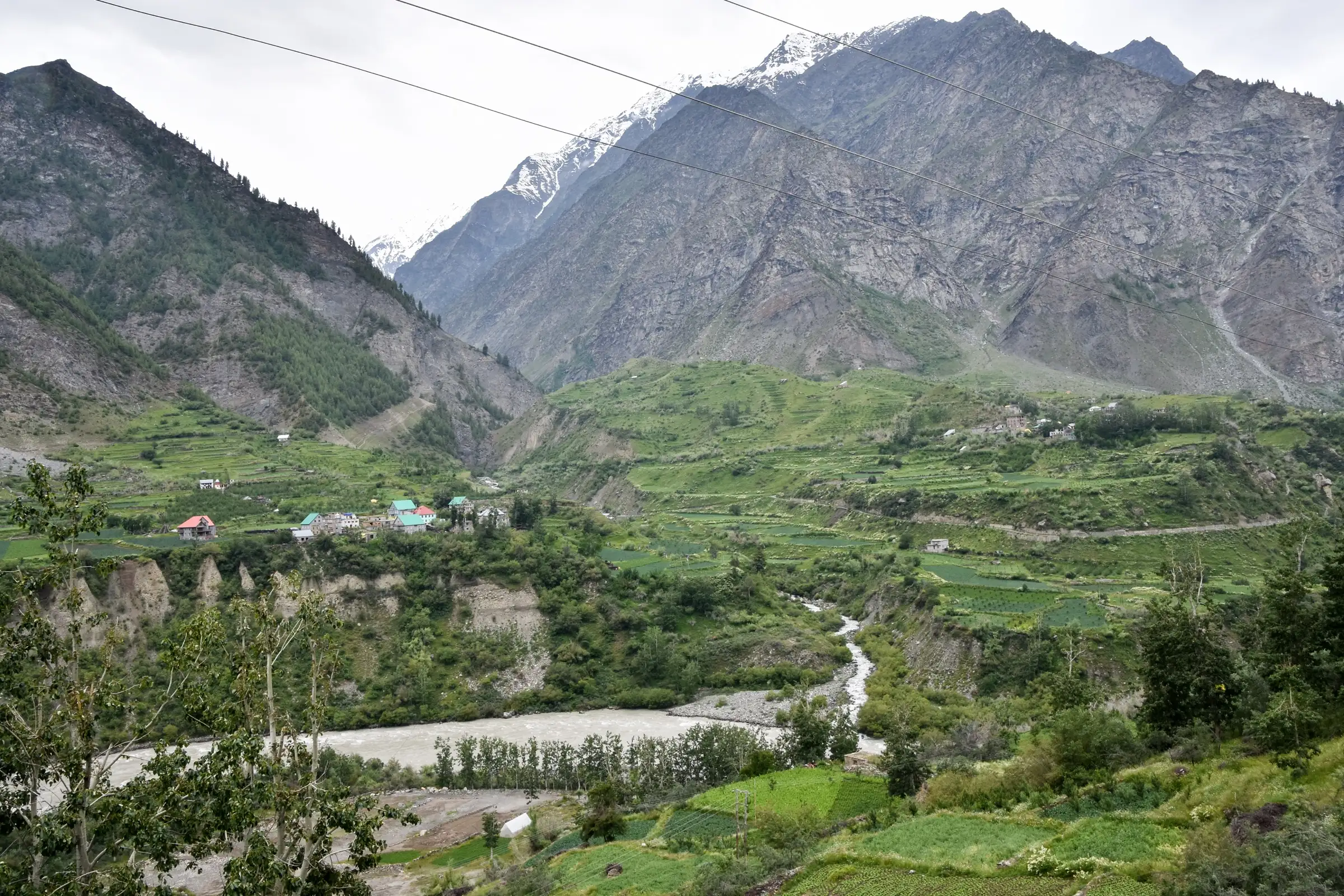
A remote 4,700 m crossing of the Pir Panjal on an unmarked Gaddi and Gujjar shepherd route. The pass day climbs about 1,200 m from the Alyas (Lahesh) base on snow and steep, rough ground, then drops about 2,100 m to Tindi in one long day (Himalayan Hikers gives 18 km; Indiahikes' trekkers took 8 hours up and about 7 hours down). Both operators rate it difficult; there are no camps or help on the Lahaul side.
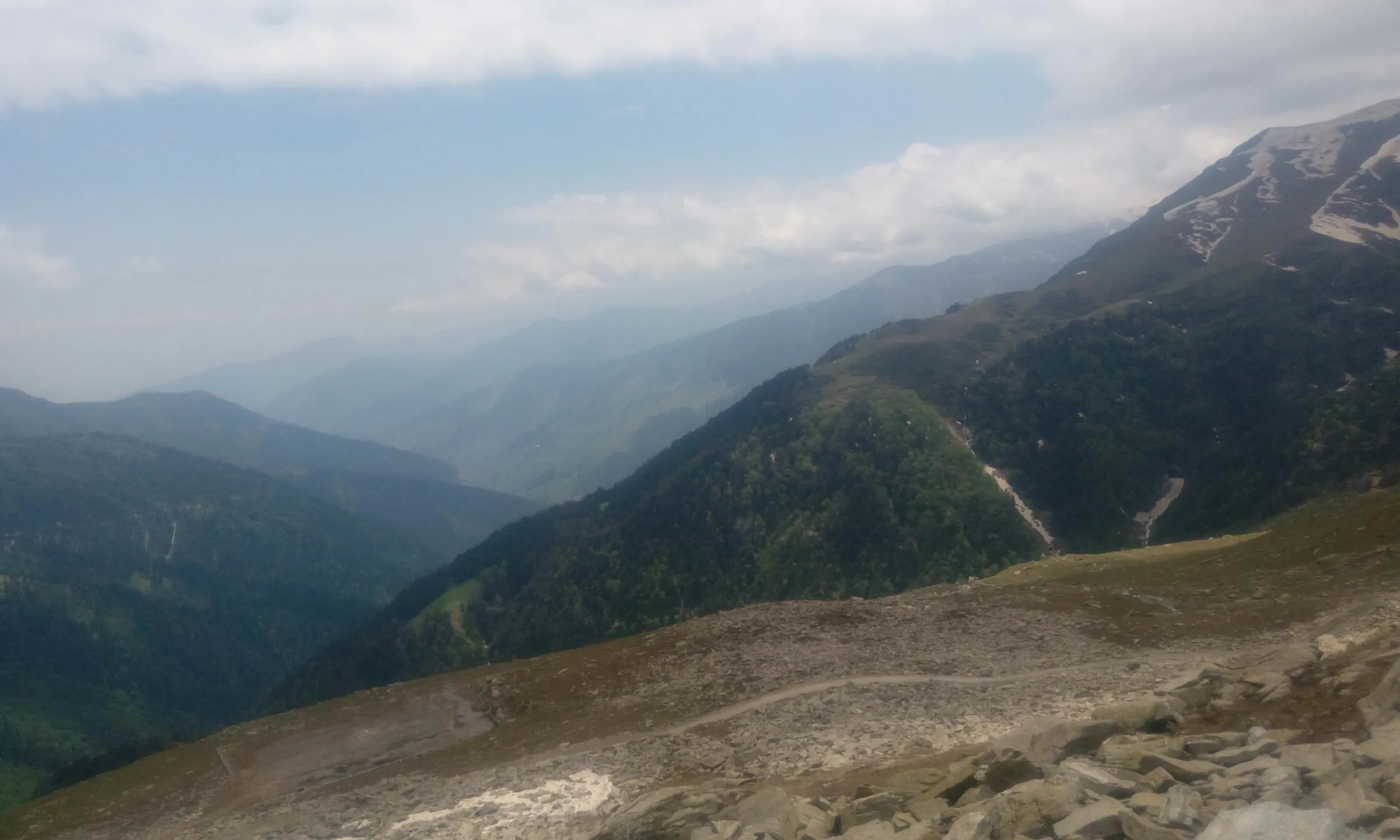
Photos
On the trail
The route
Day by day
Day 1
Chanju (drive about 70-75 km from Chamba via Tissa) → Kalpra (Kalprai), near Dantuin village
1,997 m → 2,300 m
Day 2
Kalpra → Alyas (Lahesh) base camp below the pass
2,300 m → 3,500 m
Day 3 · highest point
Alyas base camp → Tindi village (Lahaul) via Darati Pass
3,500 m → 4,700 m → 2,557 m
Ups and downs
Altitude profile
Where it is
Map
Trailhead and high point only — not a recorded track. Use it with a proper map.
Weather
Next 5 days on the trail
Live forecast for the trailhead and the high point. Mountain weather changes fast — check again on the morning you start.
Trailhead · Chanju (Churah valley; Indiahikes starts at nearby Dantuin / Datuin)
at 1,997 mLoading forecast…
High point · Darati Pass
at 4,700 mLoading forecast…
Each day: high / low °C · rain mm and chance · snow cm · wind km/h
Weather data: Open-Meteo.comModel forecast, not an official warning. For alerts follow IMD and the local administration.
Plan the trip
How to reach
- Trailhead
- Chanju (Churah valley; Indiahikes starts at nearby Dantuin / Datuin) (nearest town: Tissa (Churah), Chamba)
- Nearest railway
- Pathankot (then bus or taxi via Dalhousie or Banikhet to Chamba)
- Nearest airport
- Kangra (Gaggal) Airport near Dharamshala; Pathankot has a few flights
- By road
- Pathankot to Chamba by HRTC bus or taxi via Dalhousie or Banikhet; Chamba to Chanju in the Churah valley (Himalayan Hikers gives about 70-75 km) via Tissa; Indiahikes describes a further bus journey of about five hours from Chamba to the Dantuin roadhead; Exit: from Tindi on the Chandrabhaga (Chenab) road to Udaipur and Trilokinath (Himalayan Hikers gives about 105 km for Tindi-Trilokinath-Udaipur), then via Keylong and the Atal Tunnel to Manali
- Drive
- About 9 h from Pathankot
Plan the trip
Permits and fees
We could not confirm the current permit rules and fees from an official source. Check with the local forest department or tourism office before you go.
Plan the trip
Cost
Self-guided
₹7,000–14,000
With an operator
₹18,000–25,000
Per person, ex-Chamba. No operator found publishes a current price for Darati Pass (Himalayan Hikers lists an 8-day Pathankot-to-Manali package but shows no fare). The guided range is our estimate from comparable Chamba-to-Lahaul pass crossings such as Kugti Pass (₹19,950-22,890 published October 2026). Self-guided is an estimate: bus or taxi Chamba-Chanju, a local guide (Indiahikes' trekkers were quoted ₹500 rising to ₹1,500 a day by a Gujjar herder), porters or mules for three days, tent and food, and the bus or taxi from Tindi via Udaipur and Keylong to Manali.
Gear
Top picks for this trek
The gear that matters most on this route, chosen from its altitude, season and risks.
 Ad · affiliate link
 Ad · affiliate link
 Ad · affiliate link
 Ad · affiliate link
 Ad · affiliate link
 Ad · affiliate link
 Ad · affiliate link
 Ad · affiliate link
Store buttons open a search on that store, not a product we picked. As an Amazon Associate we earn from qualifying purchases. Photos show the kind of item, not a specific product. Affiliate disclosure
Packing checklist
Matched to this trek: altitude, season, days and the risks on the route.
Packed 0 of 35
Nights near 4,700 m can drop close to freezing even in summer. Pack one more warm layer than you think.
Tick each item as it goes in the bag.
Know before you go
Good to know
- Mobile network
- Signal in Chamba and Tissa and patchy in the Churah villages; none expected on the upper route or the pass. Expect signal again around Udaipur on the Lahaul side.
- Last ATM
- Tissa or Chamba on the Churah side; Udaipur on the Lahaul side. Carry cash for guides, homestays and transport.
- Nearest hospital
- Government health facilities at Tissa and the regional hospital at Chamba on the start side; on the Lahaul side the health centre at Udaipur and the hospital at Keylong.
- Water
- Streams and shepherd settlements on the Churah side up to the Alyas base; Indiahikes describes streams swelling into a flash flood at the Lahesh cave in heavy rain. Treat all water and fill up before the pass.
Highlights
- Crossing the Pir Panjal from the green Churah valley of Chamba into the dry Chandrabhaga (Chenab) valley of Lahaul on an old Gaddi and Gujjar shepherd route
- A pass still used by local people: Churahis cross for the festival at the Trilokinath temple near Udaipur and Lahaulis cross towards Manimahesh Kailash (Indiahikes)
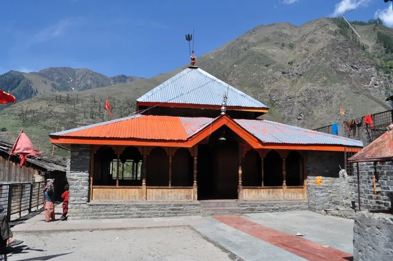
- The Maral Khundi Mata temple at Dantuin, where Gaddi shepherds seek the Devi's permission before crossing, and a small temple at the pass top (Himalayan Hikers)
- Tindi, the last village of Lahaul on the Chandrabhaga, and the drive out past Trilokinath and Udaipur
Risks
- The trail is unmarked and few local guides are available, especially in the harvest season; Indiahikes' trekkers could not find a guide and relied on shepherds. Do not attempt it without someone who knows the route.
- One very long pass day: about 1,200 m of climbing on snow and rough ground to 4,700 m and about 2,100 m of descent to Tindi, with no campsites on the Lahaul side (Himalayan Hikers). Start before dawn; weather on the pass changes fast.
- Fast height gain to about 4,700 m; altitude sickness is a real risk and evacuation from either side is slow.
- Heavy monsoon rain on the Churah side: Indiahikes' trekkers were caught by a flash flood at the Lahesh cave camp and waited out days of rain. Streams can become uncrossable after rain.
- Since June 2026 the Lahaul-Spiti DDMA requires all trekkers to register their route, team and emergency contacts with an authorised officer before starting and to check out on return; unauthorised trekking can draw fines. The route ends in Lahaul, so register before you go. Solo trekking is discouraged.
Know before you go
Questions
Where is Darati Pass?
In the Pir Panjal range of Himachal Pradesh, at about 4,700 m (15,420 ft). It links the Churah valley of Chamba district with the Tindi valley in the Udaipur area of Lahaul and Spiti district. OpenStreetMap places it about 6 km south-west of Tindi village.
How difficult is the Darati Pass trek?
Difficult. Indiahikes and Himalayan Hikers both rate it difficult. The trail is unmarked, the pass day is very long with snow near the top, and there are no camps on the Lahaul side. Go with a local guide and previous high-altitude experience.
What is the best time for the Darati Pass trek?
Himalayan Hikers gives late July to early September. Before that, snow lingers on the pass. Heavy rain on the Chamba side in July and August can cause flash floods. In winter, Lahaul-Spiti has banned all trekking because of snow and avalanche risk.
Where does the trek start and end?
It starts in the Churah valley of Chamba. Himalayan Hikers walks from Chanju via Kalpra; Indiahikes starts at nearby Dantuin village with its Maral Khundi temple. It ends at Tindi in Lahaul, from where the road runs to Udaipur, Keylong and Manali.
Do I need a permit for Darati Pass?
We found no official permit or fee schedule for this route, so check locally with the forest and district offices in Chamba. Because the trek ends in Lahaul, the Lahaul-Spiti DDMA's June 2026 order requires you to register your route and team before starting and to check out on return.
In an emergency
Save these numbers before you lose signal. Tap to call.
- 112All emergenciesIndia’s single emergency number — works in every state
- 108Ambulance
- 1077District disaster control room
You are in
District: Chamba (Churah) and Lahaul and Spiti (Udaipur)Himachal Pradesh
- Nearest hospital
- Government health facilities at Tissa and the regional hospital at Chamba on the start side; on the Lahaul side the health centre at Udaipur and the hospital at Keylong.
- Last ATM
- Tissa or Chamba on the Churah side; Udaipur on the Lahaul side. Carry cash for guides, homestays and transport.
- Phone network
- Signal in Chamba and Tissa and patchy in the Churah villages; none expected on the upper route or the pass. Expect signal again around Udaipur on the Lahaul side.
Before you set off
- Tell someone your route and when you will be back.
- Carry a charged phone and a power bank.
- Download an offline map of the route.
- Turn back if the weather turns bad — the mountain will wait.
Questions about Darati Pass
No questions yet. Ask something and trekkers who have done it can answer.
Share your trek photo with #TreksAndTrails
I trekked this
Did Darati Pass look different from this page? Tell us what changed and we will check it.
Where this comes from
Sources
Last reviewed:
- Darati Pass Trek (documented trek by Tarun Goel) — Indiahikes
- Darati Pass Trek - The Connecting Pass in Pir Panjal Range — Himalayan Hikers
- Trekkers must register before hitting Lahaul-Spiti trails now (25 Jun 2026) — The Tribune
- Winter sets in, trekking, climbing banned in Lahaul-Spiti dist (27 Nov 2024) — The Tribune
Photos: Timothy A. Gonsalves, CC BY-SA 4.0; Tridhaguleria, CC BY-SA 4.0