Manimahesh Lake Trek
Chamba, Himachal Pradesh
Opens without signal on this phone, with the map file and checklist. Saved for offline →
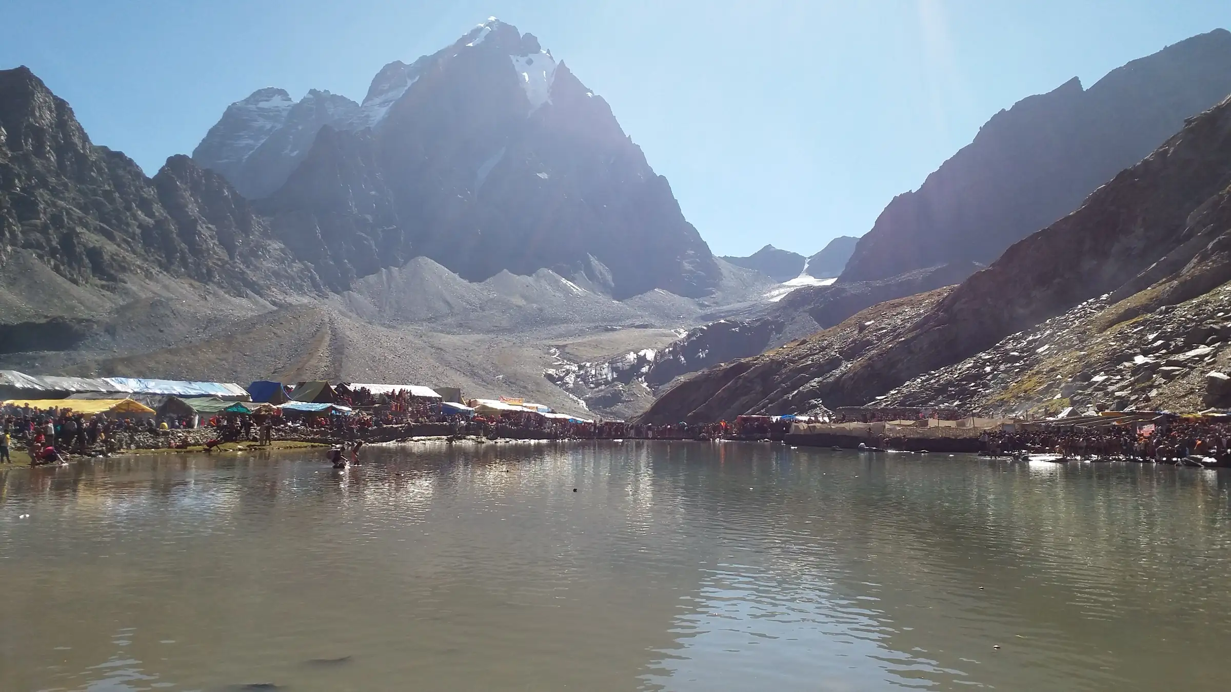
- Max altitude
- 4,080 m
- Satellite terrain suggests about 4,180 m
- Days
- 5 days
- Distance
- 26 km
- Difficulty
- Moderate
A steady climb of about 1,900 m in 13 km from Hadsar to the lake, with steep stretches past Dhancho and above Sundrasi, thin air at 4,080 m, and a long 13 km descent in one day.
Photos
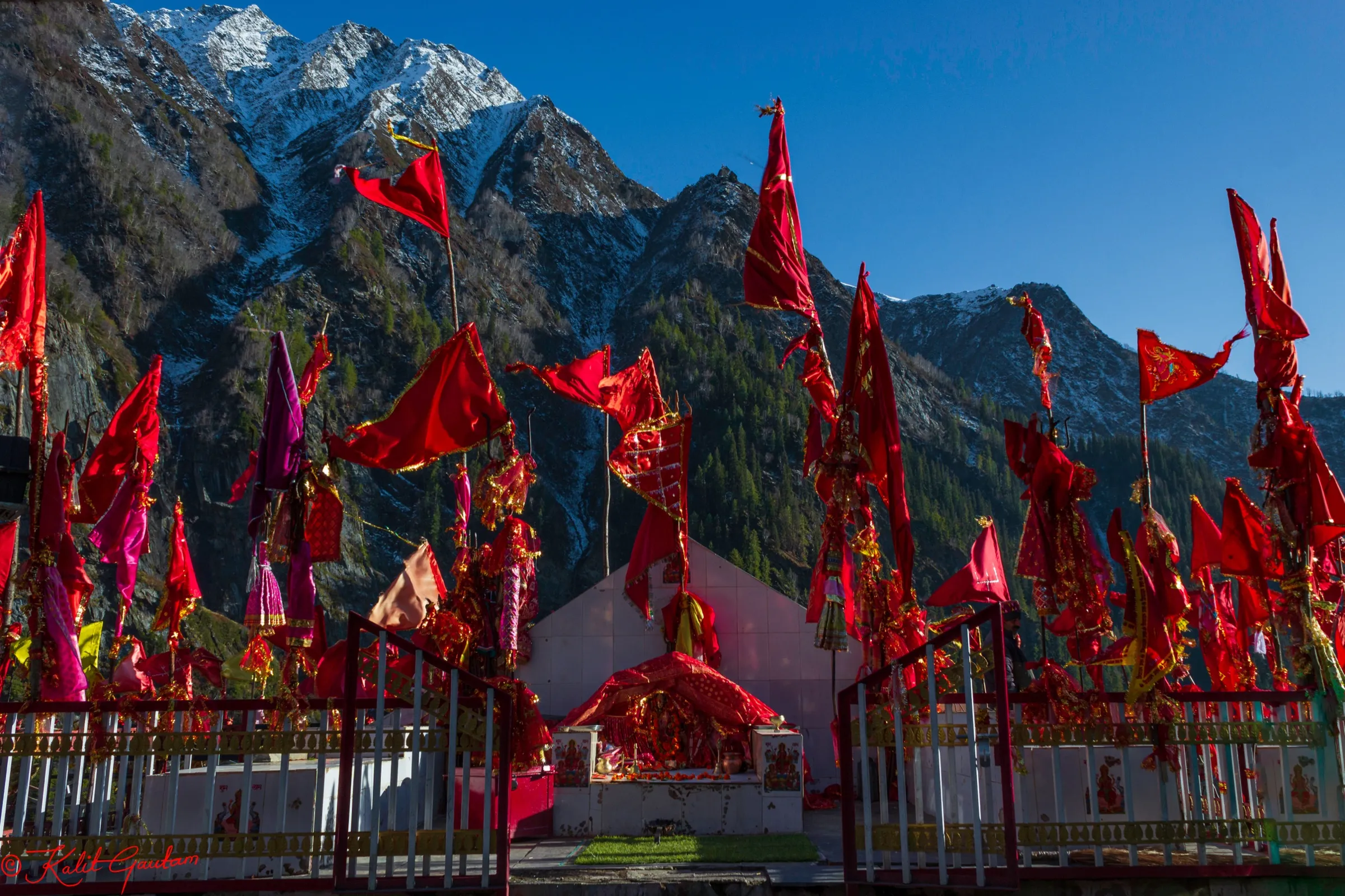
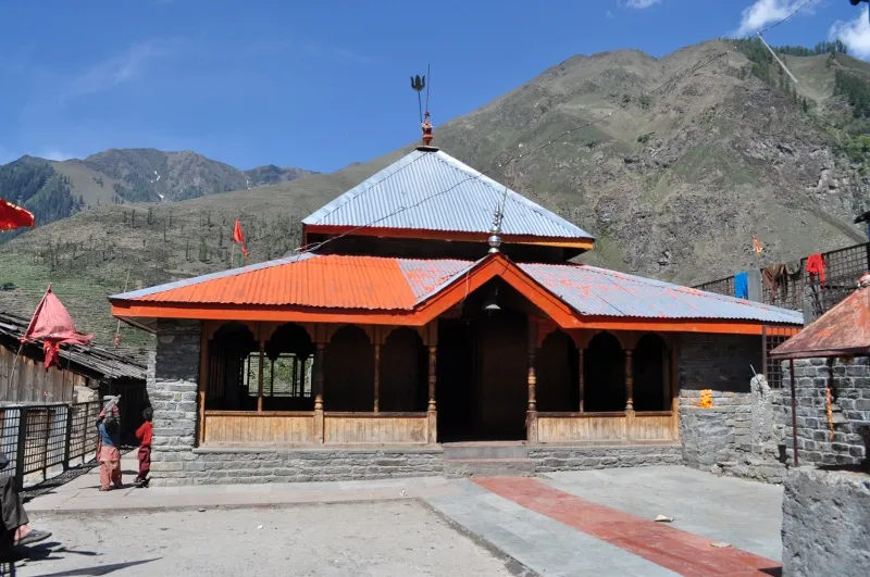
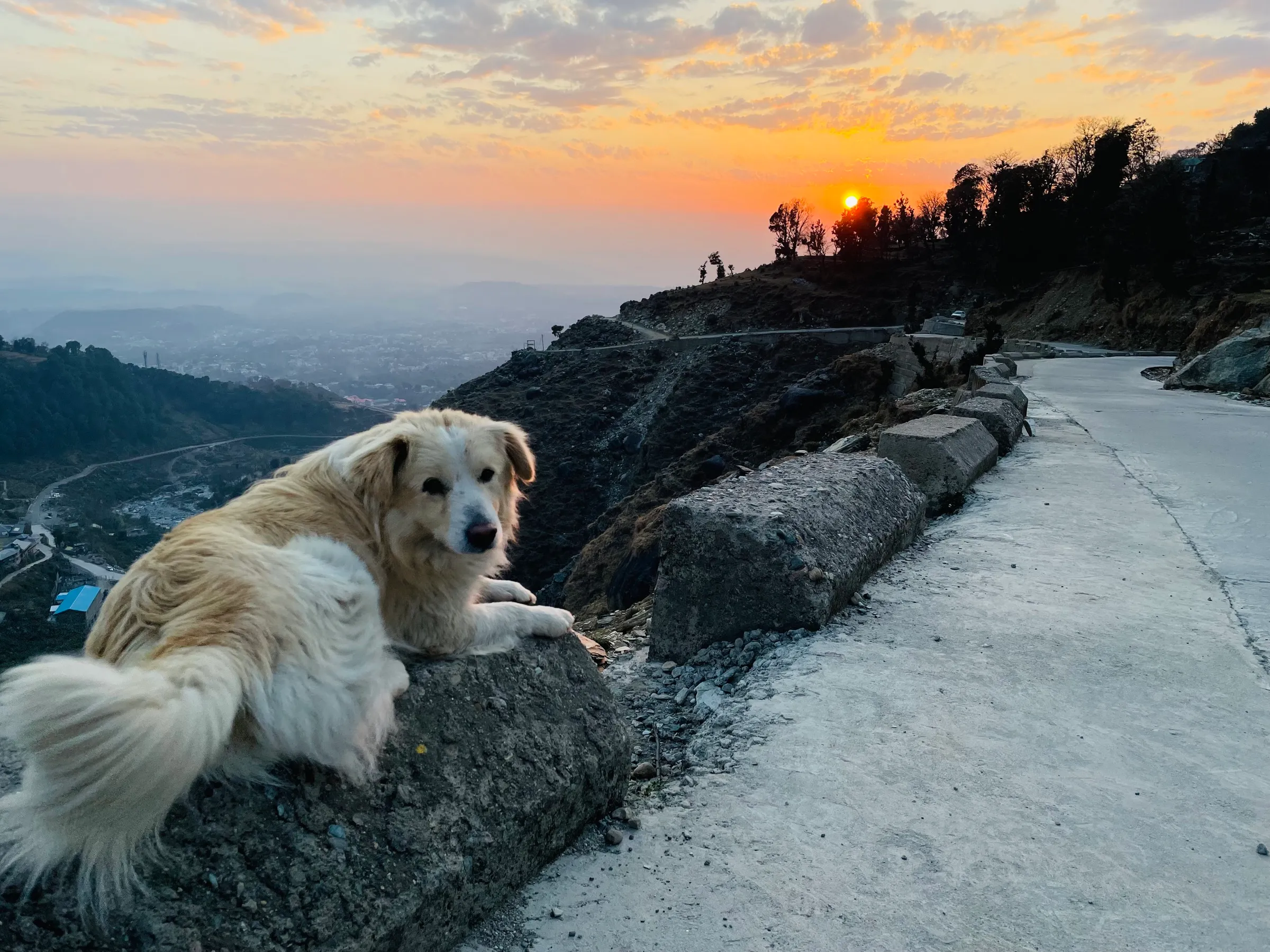
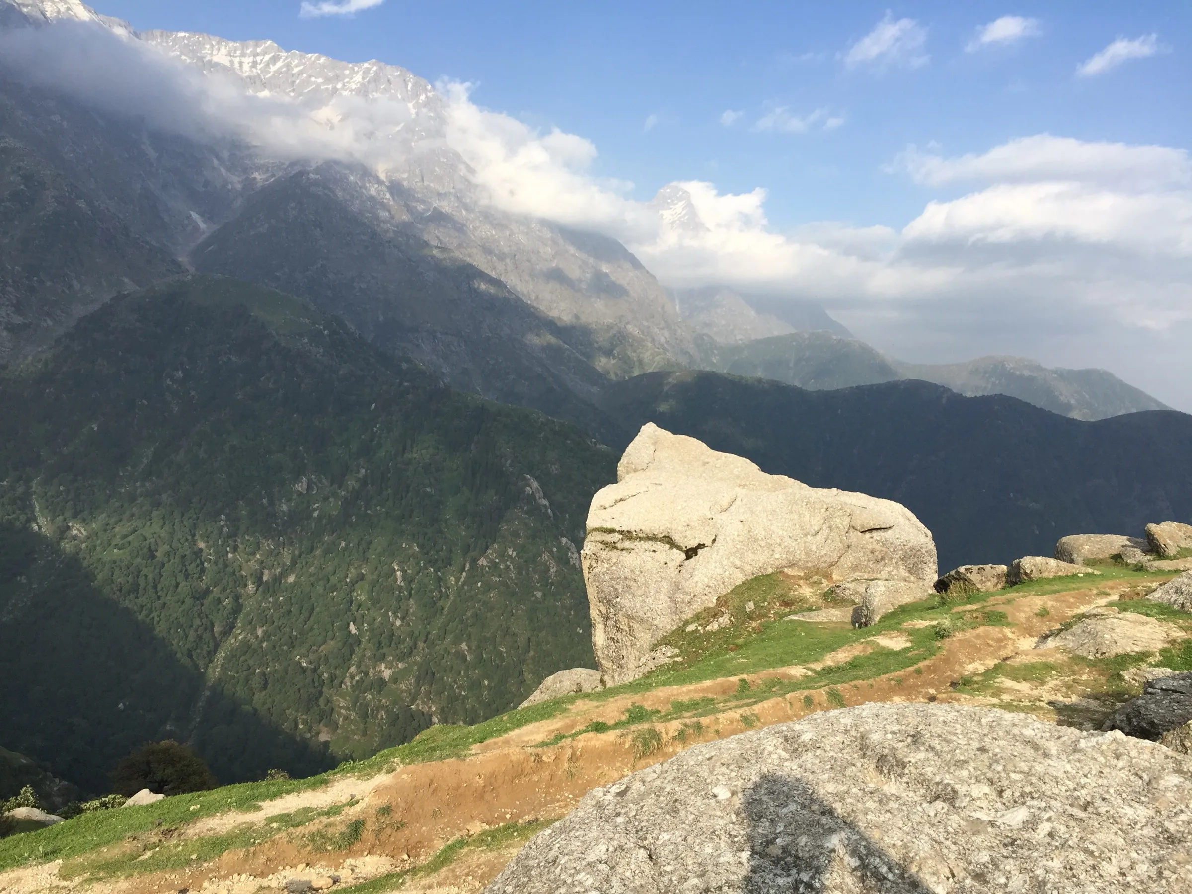
On the trail
The route
Day by day
Day 1
Pathankot → Bharmour
330 m → 2,110 m
Day 2
Hadsar (13 km drive from Bharmour) → Dhancho
2,210 m → 2,550 m
Day 3 · highest point
Dhancho → Manimahesh Lake (via Sundrasi and Gauri Kund)
2,550 m → 4,080 m
Day 4
Manimahesh Lake → Hadsar (drive to Bharmour)
4,080 m → 2,110 m
Day 5
Bharmour → Pathankot
2,110 m → 330 m
Ups and downs
Altitude profile
Where it is
Map
Trailhead and high point only — not a recorded track. Use it with a proper map.
Weather
Next 5 days on the trail
Live forecast for the trailhead and the high point. Mountain weather changes fast — check again on the morning you start.
Trailhead · Hadsar (Hudsar, Harsar)
at 2,210 mLoading forecast…
High point · Manimahesh Lake (Manimahesh Dal)
at 4,080 mLoading forecast…
Each day: high / low °C · rain mm and chance · snow cm · wind km/h
Weather data: Open-Meteo.comModel forecast, not an official warning. For alerts follow IMD and the local administration.
Plan the trip
How to reach
- Trailhead
- Hadsar (Hudsar, Harsar) (nearest town: Bharmour)
- Nearest railway
- Pathankot
- Nearest airport
- Kangra (Gaggal) or Pathankot
- By road
- Pathankot (about 180 km to Bharmour via Chamba, 5-6 hours); Chamba (about 60 km to Bharmour), then 12-13 km by jeep or bus to Hadsar
- Drive
- About 6 h from Pathankot
Plan the trip
Permits and fees
We could not confirm the current permit rules and fees from an official source. Check with the local forest department or tourism office before you go.
Plan the trip
Cost
Self-guided
₹3,000–7,000
With an operator
₹8,500–15,500
Per person. Guided prices seen October 2026: Manimahesh Hills Travel ₹8,500 for 4 days ex-Bharmour and ₹12,000 for 5 days ex-Pathankot; Shikhar Travels India ₹15,500 for 6 days ex-Pathankot. Self-guided is our estimate ex-Bharmour: jeep or bus to Hadsar, two nights in tents at Dhancho and the lake, food (langars run during the yatra), and an optional porter or pony. The yatra registration fee is extra; check the amount on the official portal.
Gear
Top picks for this trek
The gear that matters most on this route, chosen from its altitude, season and risks.
 Ad · affiliate link
 Ad · affiliate link
 Ad · affiliate link
 Ad · affiliate link
 Ad · affiliate link
 Ad · affiliate link
 Ad · affiliate link
 Ad · affiliate link
Store buttons open a search on that store, not a product we picked. As an Amazon Associate we earn from qualifying purchases. Photos show the kind of item, not a specific product. Affiliate disclosure
Packing checklist
Matched to this trek: altitude, season, days and the risks on the route.
Packed 0 of 34
Nights near 4,080 m can drop close to freezing even in summer. Pack one more warm layer than you think.
Tick each item as it goes in the bag.
Know before you go
Good to know
- Mobile network
- Not confirmed by our sources; expect patchy or no signal above Hadsar. During the yatra the administration publishes emergency numbers (WhatsApp 94594 80602, landline 01895-225027).
- Last ATM
- Bharmour (not confirmed by our sources; carry cash from Chamba)
- Nearest hospital
- Bharmour for first care; Chamba (about 60 km) for serious cases
- Water
- Streams and the Manimahesh nala along the trail; langars at Dhancho and higher camps during the yatra. Boil or treat all water.
Highlights
- Darshan of Manimahesh Kailash, abode of Bhagwan Shiv, rising straight above the sacred Manimahesh Dal at 4,080 m
- The holy snan in the lake during the Manimahesh Yatra, from Janmashtami to Radhashtami in Bhadon
- Gauri Kund, where women pilgrims bathe, about a kilometre below the lake
- The trail along the Budhil valley and the wooden bridge and waterfall at Dhancho
Risks
- Monsoon cloudbursts and landslides: in late August 2025 heavy rain cut every road and phone link, the yatra was suspended, and pilgrims were held at Hadsar, Dhancho, Sundrasi and Gauri Kund; the SDRF rescued over 3,000 pilgrims and five lost their lives.
- Shooting stones on the steep slopes above Dhancho have killed pilgrims and halted the yatra.
- Altitude sickness at 4,080 m: most people climb about 1,900 m in two days.
- Outside the yatra window (2026: 25 Aug-20 Sep) there are no langars, medical camps or rescue posts; snow covers the upper trail from about October to May and the lake stays frozen.
- The Kugti (Lahaul side) route was closed to most pilgrims in 2026 for safety; outside pilgrims must use the Hadsar route.
Know before you go
Questions
Do I need to register for the Manimahesh Yatra?
Yes. During the yatra, registration on the official portal manimaheshyatra.hp.gov.in is mandatory, with a daily cap of about 5,000 pilgrims. Carry a printed confirmation for the checkpoints. We could not confirm the fee from the official page, so check it there.
When is the Manimahesh Yatra in 2026?
The official portal opened registration for journey dates 25 August to 20 September 2026. The yatra runs from Janmashtami to Radhashtami in Bhadon.
How long is the trek from Hadsar to Manimahesh Lake?
About 13 km one way: Hadsar to Dhancho is about 6 km, Dhancho to Gauri Kund about 6 km, and Gauri Kund to the lake about 1 km. Most people stay a night at Dhancho, so the round trip is about 26 km over three trekking days.
Is there a helicopter to Manimahesh?
Yes, during the yatra a helicopter shuttle runs from the Holi helipad (online booking on the yatra portal, or counter tickets subject to availability). It does not reach the lake itself; the last stretch is on foot.
Can I do the Manimahesh trek outside the yatra?
Operators run the trek from about May to October, but without the yatra there are no langars, camps or rescue teams, and snow lingers on the upper trail early in the season. We found no official order closing the route outside the yatra; check with the Bharmour administration before going.
In an emergency
Save these numbers before you lose signal. Tap to call.
- 112All emergenciesIndia’s single emergency number — works in every state
- 108Ambulance
- 1077District disaster control room
You are in
District: ChambaHimachal Pradesh
- Nearest hospital
- Bharmour for first care; Chamba (about 60 km) for serious cases
- Last ATM
- Bharmour (not confirmed by our sources; carry cash from Chamba)
- Phone network
- Not confirmed by our sources; expect patchy or no signal above Hadsar. During the yatra the administration publishes emergency numbers (WhatsApp 94594 80602, landline 01895-225027).
Before you set off
- Tell someone your route and when you will be back.
- Carry a charged phone and a power bank.
- Download an offline map of the route.
- Turn back if the weather turns bad — the mountain will wait.
Questions about Manimahesh Lake
No questions yet. Ask something and trekkers who have done it can answer.
Share your trek photo with #TreksAndTrails
I trekked this
Did Manimahesh Lake look different from this page? Tell us what changed and we will check it.
Where this comes from
Sources
Last reviewed:
- Shri Manimahesh Yatra registration portal — District Administration Chamba / Shri Manimahesh Yatra (official)
- Manimahesh Lake — Wikipedia
- Manimahesh Yatra From Pathankot (4 Nights / 5 Days) — Trip To Temples
- Manimahesh Yatra Tour Package — Trip To Temples
- Manimahesh Kailash Trek 4N/5D from Pathankot — Manimahesh Hills Travel
- Manimahesh Kailash Trek Package (4D/3N ex-Bharmour) — Manimahesh Hills Travel
- Manimahesh Trek Tour (6 days ex-Pathankot) — Shikhar Travels India
- The Manimahesh Yatra - A Complete Guide — Being Himalayan
- Manimahesh Yatra to have daily pilgrim cap, mandatory e-pass — News Arena India
- Yatra route to be rebuilt for safer pilgrimage — The Tribune
Photos: NaturenHuman, CC BY-SA 4.0; Himachalcompass, CC BY-SA 4.0; Himachalcompass, CC BY-SA 4.0