Dainkund Peak Trek
Chamba, Himachal Pradesh
Opens without signal on this phone, with the map file and checklist. Saved for offline →
- Max altitude
- 2,755 m
- Days
- 1 day
- Distance
- 9 km
- Difficulty
- Easy
A short day walk on a well-marked, mostly gentle forest trail from Lakkar Mandi with about 330 m of climb; operators rate it easy and suitable for families, though snow in winter makes it harder.
Photos
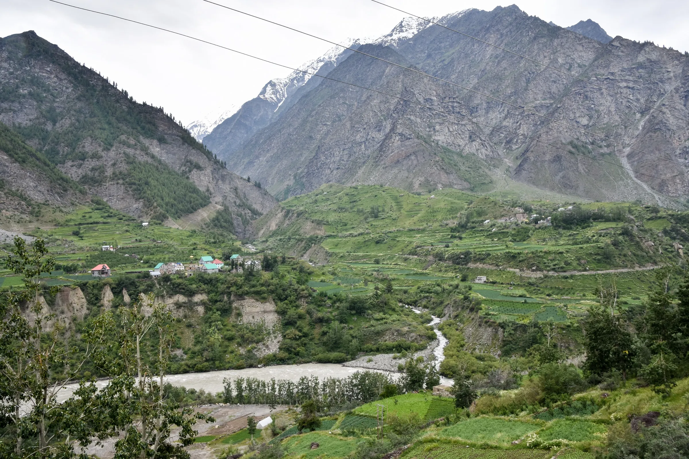
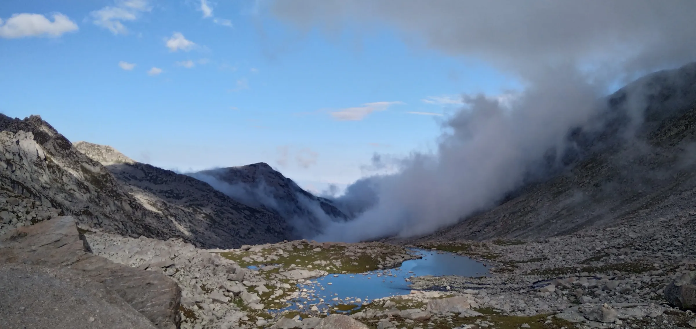
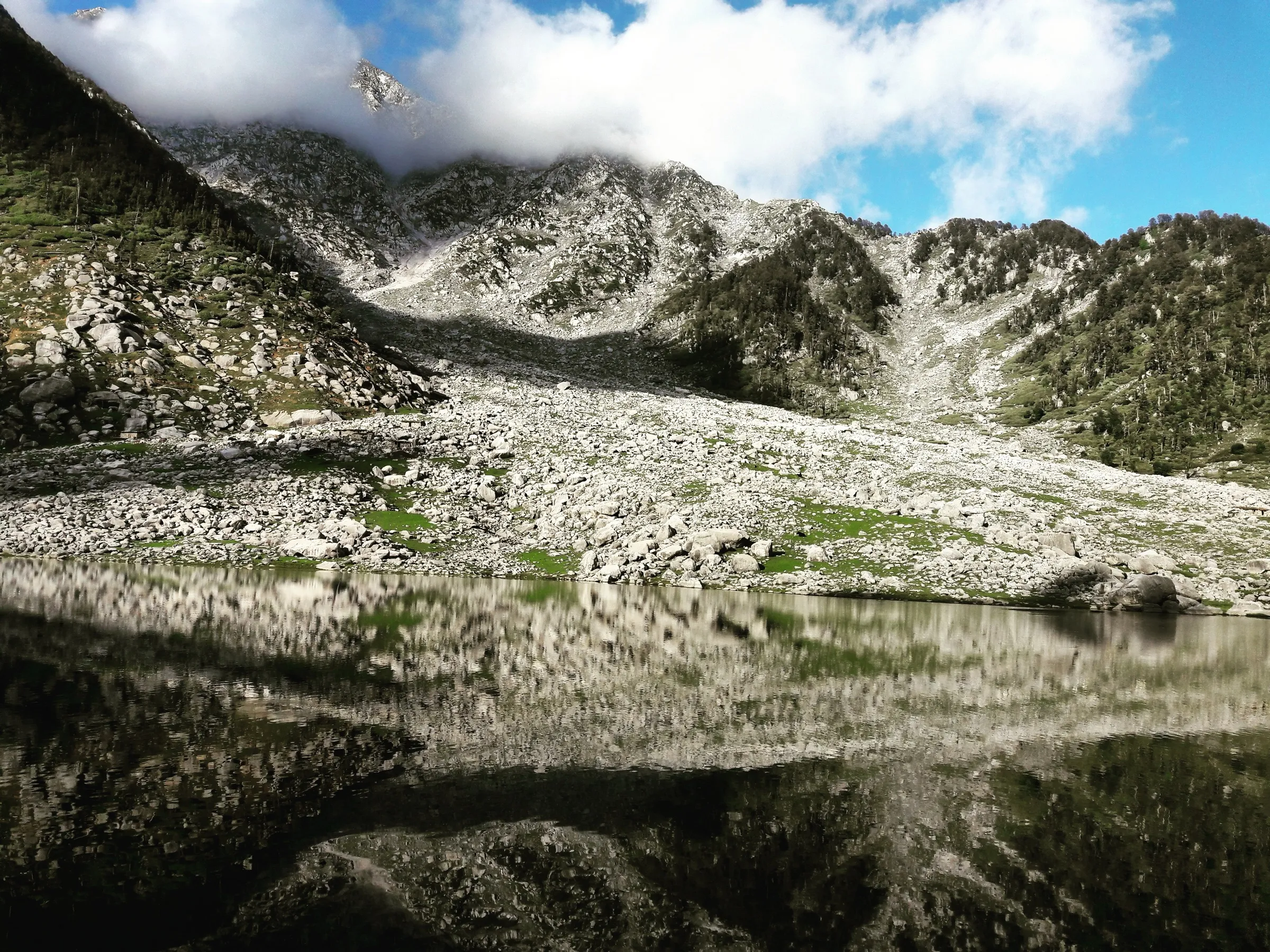
On the trail
The route
Day by day
Day 1 · highest point
Lakkar Mandi → Lakkar Mandi (via Dainkund top and Pohlani Mata Mandir)
2,420 m → 2,755 m → 2,420 m
Ups and downs
Altitude profile
Where it is
Map
Trailhead and high point only — not a recorded track. Use it with a proper map.
Weather
Next 5 days on the trail
Live forecast for the trailhead and the high point. Mountain weather changes fast — check again on the morning you start.
Trailhead · Lakkar Mandi (Lakkad Mandi)
at 2,420 mLoading forecast…
High point · Dainkund top, Pohlani Mata Mandir
at 2,755 mLoading forecast…
Each day: high / low °C · rain mm and chance · snow cm · wind km/h
Weather data: Open-Meteo.comModel forecast, not an official warning. For alerts follow IMD and the local administration.
Plan the trip
How to reach
- Trailhead
- Lakkar Mandi (Lakkad Mandi) (nearest town: Dalhousie)
- Nearest railway
- Pathankot
- Nearest airport
- Pathankot Airport, or Gaggal (Kangra) Airport
- By road
- Pathankot to Dalhousie (about 80 km) by taxi or bus, then about 8-10 km by taxi or local bus to Lakkar Mandi on the Dalhousie-Khajjiar road
- Drive
- About 3 h from Pathankot
Plan the trip
Permits and fees
We could not confirm the current permit rules and fees from an official source. Check with the local forest department or tourism office before you go.
Plan the trip
Cost
Self-guided
₹300–2,000
With an operator
₹5,000–5,250
Per person, ex-Dalhousie. Only one operator price could be confirmed (October 2026): Himalaya Shelter ₹5,000 per person + 5% GST, including transport to Lakkar Mandi, a guide and a vegetarian lunch. Self-guided is an estimate: a local bus or shared/hired taxi from Dalhousie to Lakkar Mandi and back, a possible small parking charge, and tea and snacks; a local guide is optional outside the snow season.
Gear
Top picks for this trek
The gear that matters most on this route, chosen from its altitude, season and risks.
 Ad · affiliate link
 Ad · affiliate link
 Ad · affiliate link
 Ad · affiliate link
 Ad · affiliate link
- Ad · affiliate link
 Ad · affiliate link
 Ad · affiliate link
Store buttons open a search on that store, not a product we picked. As an Amazon Associate we earn from qualifying purchases. Photos show the kind of item, not a specific product. Affiliate disclosure
Packing checklist
Matched to this trek: altitude, season, days and the risks on the route.
Packed 0 of 24
Monsoon months (Jun, Sep): pack everything in plastic or a dry bag and wear shoes with good grip.
Tick each item as it goes in the bag.
Know before you go
Good to know
- Mobile network
- Not confirmed by our sources; ask in Dalhousie before you go.
- Last ATM
- Dalhousie
- Nearest hospital
- Dalhousie for first care; Chamba or Pathankot for serious cases
- Water
- No settlements on the Lakkar Mandi trail; carry all the water you need from Dalhousie or Lakkar Mandi.
Highlights
- Darshan at Pohlani Mata Mandir on Dainkund top, where a trishul is enshrined in place of a murti
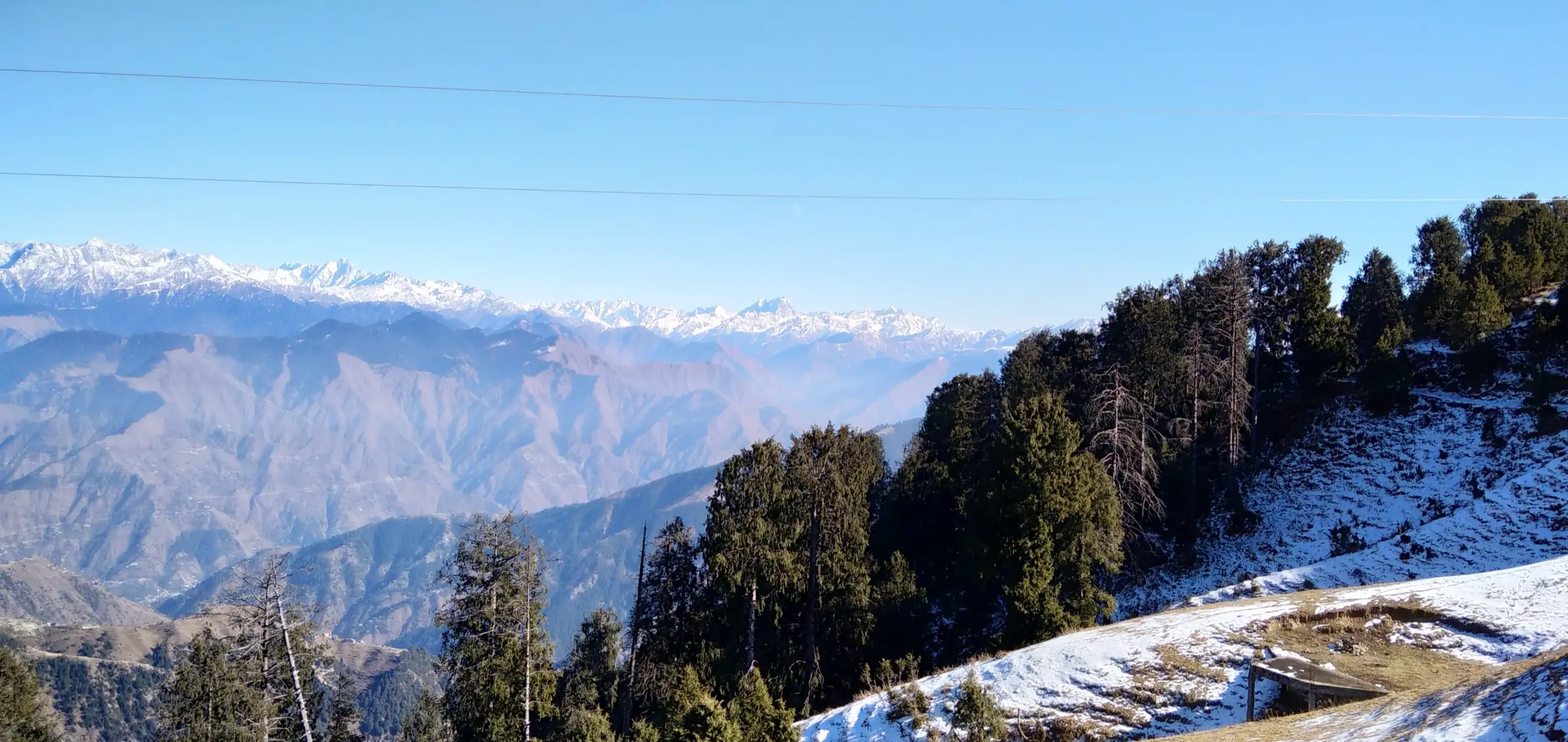
- Dainkund is the highest point around Dalhousie, at about 2,755 m, with wide views of the Pir Panjal range and the Chamba valleys
- A well-marked trail through deodar, pine and oak forest; the ridge is known as the 'Singing Hill' for the sound the wind makes in the trees
- Short enough for a half-day outing from Dalhousie, and a good first trek for families
Risks
- Snow covers the ridge in winter and can lie deep on the forest trails; go with a local guide if there is snow.
- July-August monsoon rain makes the trail slippery and the views are usually hidden by cloud; one operator advises against trekking then.
- The ridge gets cold and windy in the afternoon; start early and be off the top by about 4 pm.
- An Indian Air Force station sits on the ridge below the top; stay on the public path and obey all signboards and instructions from personnel.
- The forest around Dainkund is black bear habitat; walk in a group and do not leave food waste.
Know before you go
Questions
Where does the Dainkund trek start?
The walking route starts at Lakkar Mandi (Lakkad Mandi), a small village about 8-10 km from Dalhousie on the Khajjiar road. A road also climbs to near the top past the Air Force station, from where it is a short walk of about 1.5-2 km up to the temple.
How long is the Dainkund trek and how much time does it take?
Operators quote about 3.5-4.5 km each way from Lakkar Mandi, or about 9-10 km for the round trip, taking 2-3 hours up and 5-6 hours in all with time at the top.
What is the height of Dainkund Peak?
About 2,755 m (9,038 ft), the highest point near Dalhousie.
Is there an entry fee or permit for Dainkund?
Our sources mention no permit and say there is usually no entry fee, though a small parking charge may apply at the road head. Rules near the Air Force station can change, so check locally.
What is at the top of Dainkund?
The Pohlani Mata Mandir (also written Pholani Devi). There is no murti inside; Mata is worshipped through the trishul enshrined there. The Incredible India page gives temple timings of 7:00 am to 5:45 pm.
In an emergency
Save these numbers before you lose signal. Tap to call.
- 112All emergenciesIndia’s single emergency number — works in every state
- 108Ambulance
- 1077District disaster control room
You are in
District: ChambaHimachal Pradesh
- Nearest hospital
- Dalhousie for first care; Chamba or Pathankot for serious cases
- Last ATM
- Dalhousie
- Phone network
- Not confirmed by our sources; ask in Dalhousie before you go.
Before you set off
- Tell someone your route and when you will be back.
- Carry a charged phone and a power bank.
- Download an offline map of the route.
- Turn back if the weather turns bad — the mountain will wait.
Questions about Dainkund Peak
No questions yet. Ask something and trekkers who have done it can answer.
Share your trek photo with #TreksAndTrails
I trekked this
Did Dainkund Peak look different from this page? Tell us what changed and we will check it.
Where this comes from
Sources
Last reviewed:
- Dainkund Peak — Incredible India (Ministry of Tourism, Government of India) (official)
- Dainkund Peak Trek — Himalaya Shelter
- Dainkund Peak: Dalhousie's Hidden Spot Where You Can See Mount Kailash — The Hosteller
- All You Need to Know About Exploring Dalhousie Beyond Khajjiar — Tripoto (trip report)
- Go for Trek to Dainkund Peak — Flamingo Travels
Photos: Abhyuday Bhandari, CC BY-SA 4.0; Bharat Bang, CC BY-SA 3.0; Mayuresham, CC BY 4.0