Rohtang Pass Trail Trek
Kullu, Himachal Pradesh
Opens without signal on this phone, with the map file and checklist. Saved for offline →
- Max altitude
- 3,978 m
- Days
- 3 days
- Distance
- 38 km
- Difficulty
- Moderate
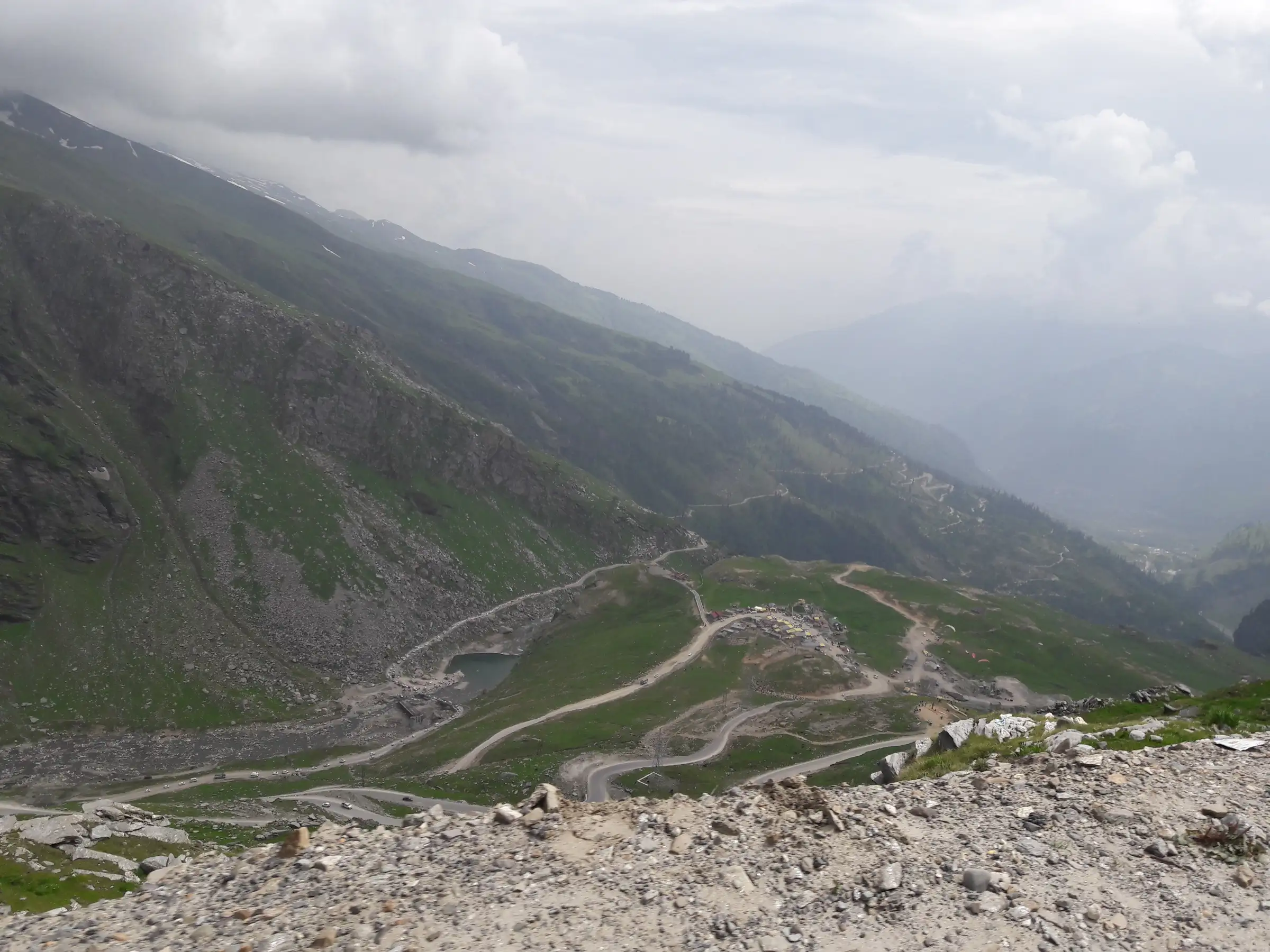
About 1,500 m of climbing from Kothi to a 3,978 m pass over three days on the old foot route beside the highway; the state portal rates it easy, but the altitude, wind and sudden storms at the top make it moderate. A winter snow crossing is far harder.
Photos
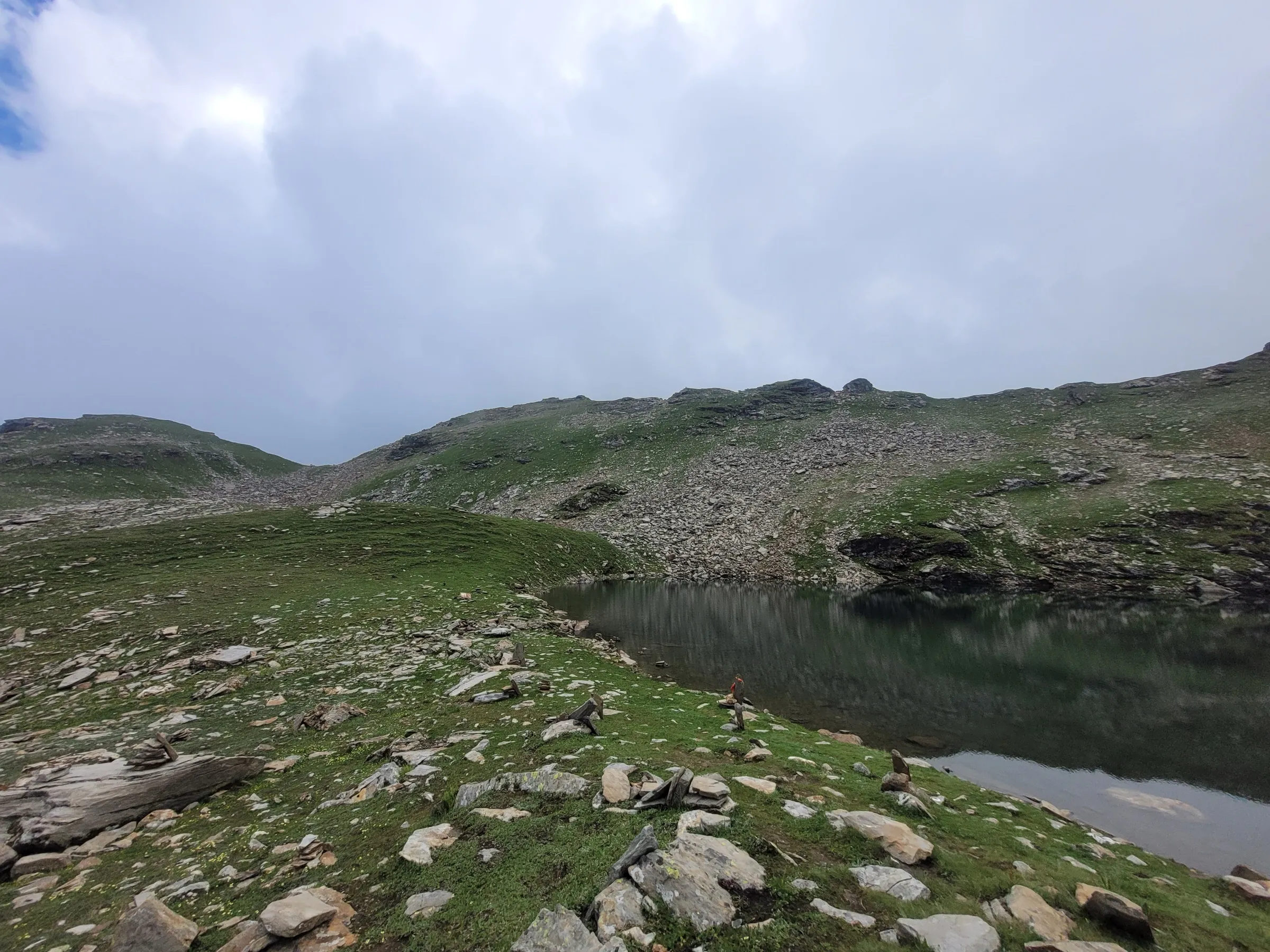
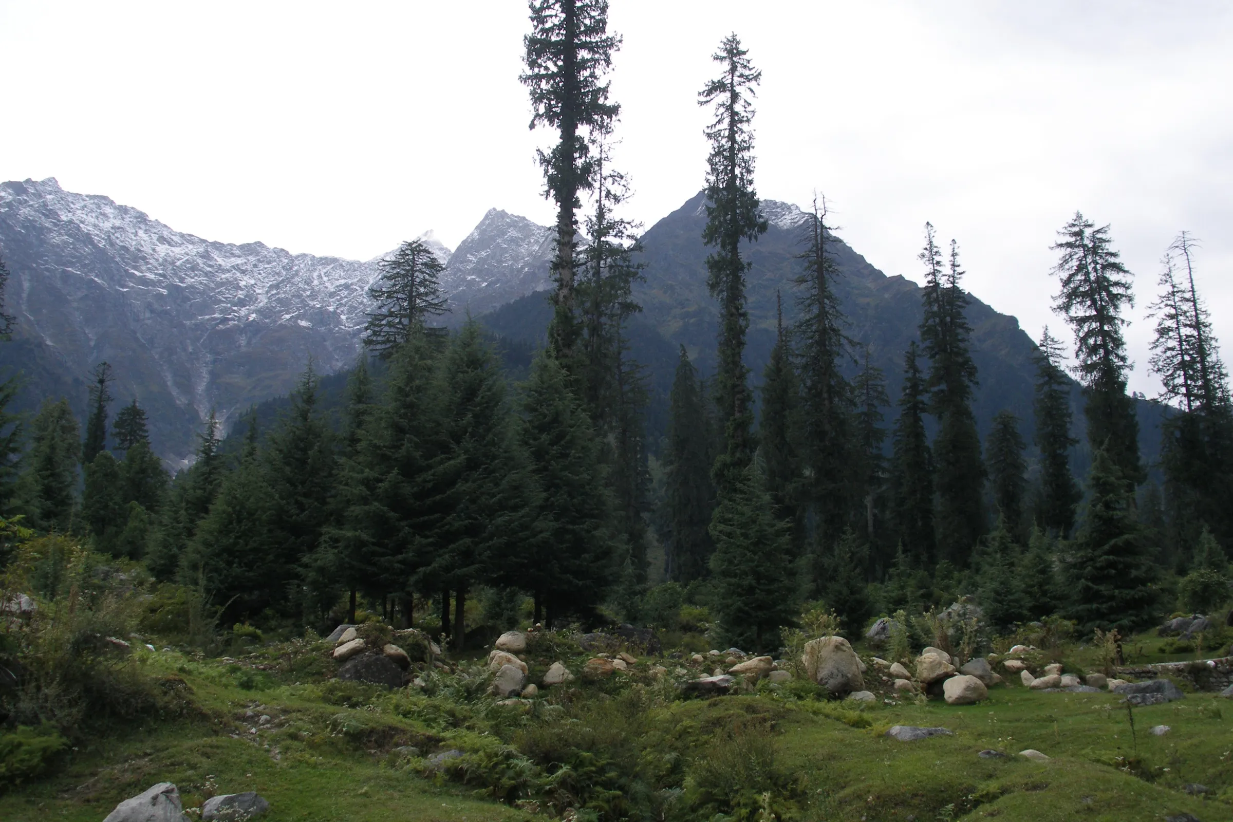
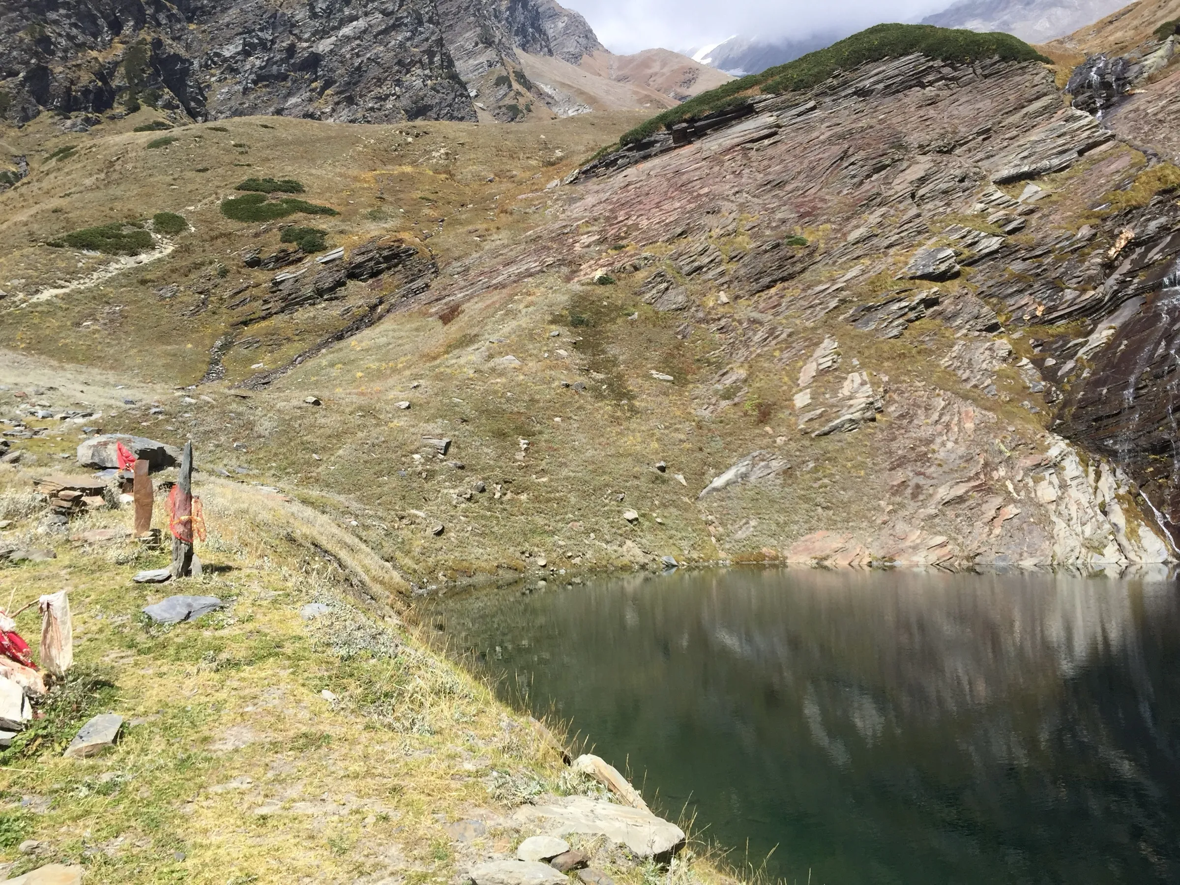
On the trail
The route
Day by day
Day 1
Kothi → Marhi
2,465 m → 3,335 m
Day 2 · highest point
Marhi → Rohtang Pass
3,335 m → 3,978 m
Day 3
Rohtang Pass → Kothi
3,978 m → 2,465 m
Ups and downs
Altitude profile
Where it is
Map
Trailhead and high point only — not a recorded track. Use it with a proper map.
Weather
Next 5 days on the trail
Live forecast for the trailhead and the high point. Mountain weather changes fast — check again on the morning you start.
Trailhead · Kothi
at 2,465 mLoading forecast…
High point · Rohtang Pass
at 3,978 mLoading forecast…
Each day: high / low °C · rain mm and chance · snow cm · wind km/h
Weather data: Open-Meteo.comModel forecast, not an official warning. For alerts follow IMD and the local administration.
Plan the trip
How to reach
- Trailhead
- Kothi (nearest town: Manali)
- Nearest railway
- Joginder Nagar (narrow gauge); Chandigarh or Pathankot for broad gauge
- Nearest airport
- Bhuntar (Kullu–Manali), about 50 km from Manali
- By road
- Manali to Kothi (about 12 km); Delhi to Manali (about 540 km); Chandigarh to Manali (about 310 km)
- Drive
- About 13 h from Delhi
Plan the trip
Permits and fees
We could not confirm the current permit rules and fees from an official source. Check with the local forest department or tourism office before you go.
Plan the trip
Cost
Self-guided
₹3,000–6,000
With an operator
₹6,000–12,000
Per person, ex-Manali. No operator was found selling this walk with a published price, so both ranges are estimates: self-guided covers Manali–Kothi taxi, food, a rented tent and the return; guided assumes hiring a local guide such as the one listed on the Himachal trekking portal. Ask the guide for a quote.
Gear
Top picks for this trek
The gear that matters most on this route, chosen from its altitude, season and risks.
 Ad · affiliate link
 Ad · affiliate link
 Ad · affiliate link
 Ad · affiliate link
 Ad · affiliate link
 Ad · affiliate link
 Ad · affiliate link
 Ad · affiliate link
Store buttons open a search on that store, not a product we picked. As an Amazon Associate we earn from qualifying purchases. Photos show the kind of item, not a specific product. Affiliate disclosure
Packing checklist
Matched to this trek: altitude, season, days and the risks on the route.
Packed 0 of 31
Nights near 3,978 m can drop close to freezing even in summer. Pack one more warm layer than you think.
Tick each item as it goes in the bag.
Know before you go
Good to know
- Mobile network
- Patchy mobile signal along the highway corridor at Kothi, Gulaba and Marhi; weak or none at the pass
- Last ATM
- Manali
- Nearest hospital
- Civil Hospital, Manali
- Water
- Streams and the young Beas river along the route; dhabas at Marhi in season. Treat or filter all water
Highlights
- The old foot route over Rohtang Pass, used for centuries before the road and the Atal Tunnel
- Rahla waterfall and the climb up the upper Beas valley to Marhi
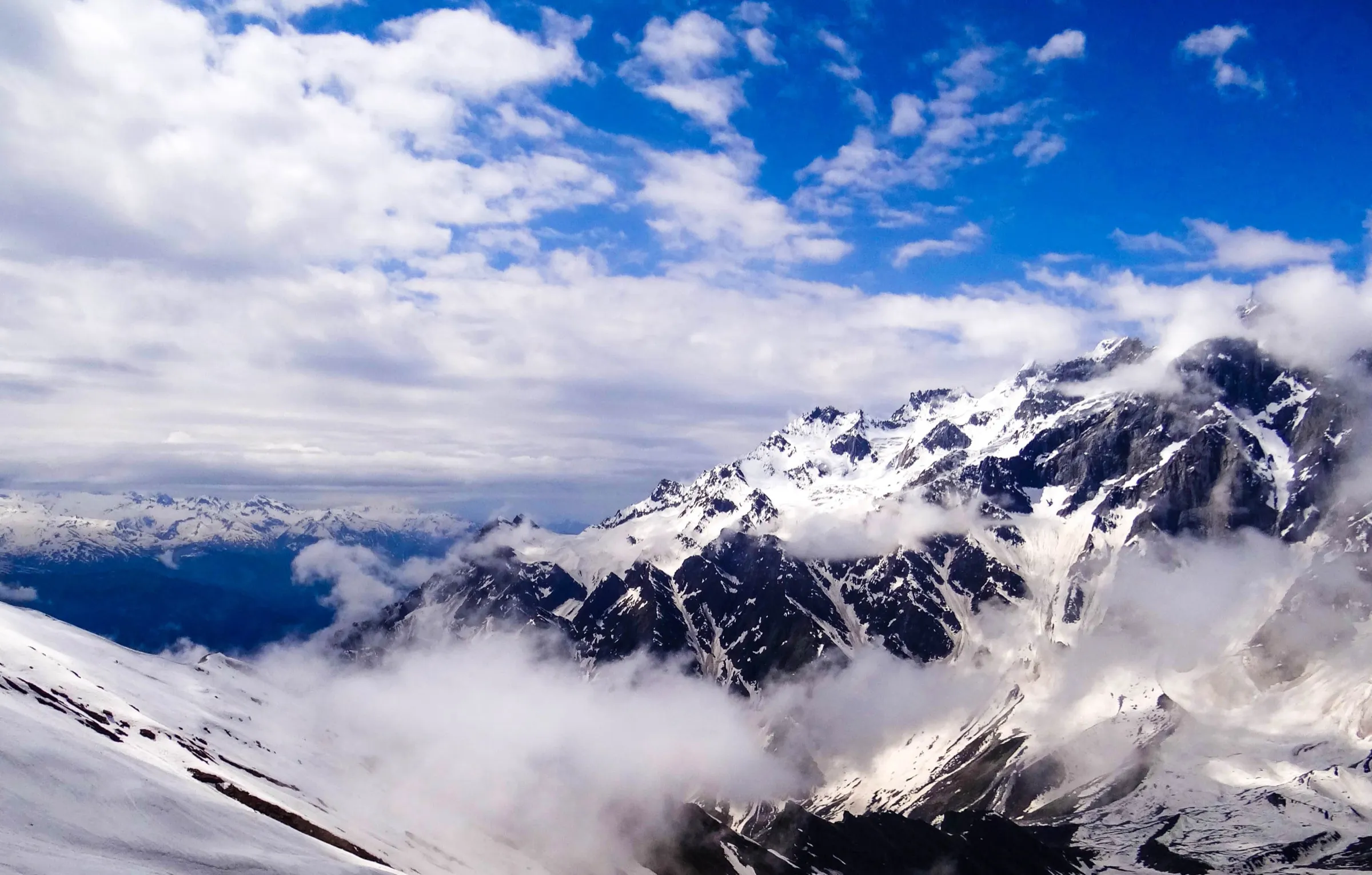
- Views from the 3,978 m pass across to the Lahaul peaks and the Chandra valley
- Listed with a registered local guide on the Himachal Pradesh trekking portal
Risks
- Rohtang has a reputation for sudden snowstorms and blizzards; the top is very windy, so do not linger there
- Altitude: the pass is at 3,978 m; climb slowly and turn back if you have headache or nausea
- Avalanche debris and steep snow at the Rahni Nallah gap early in the season; a winter or April crossing on snow is very difficult and has caused fractures and head injuries
- Much of the route runs beside or crosses the busy Manali–Leh highway; watch for traffic on bends
- Vehicles need a Rohtang permit beyond Gulaba; rules for walkers are not published, so check with the Manali SDM office or forest guard before starting
Know before you go
Questions
Can you walk to Rohtang Pass instead of driving?
Yes. The Himachal Pradesh trekking portal lists a three-day walk: Kothi to Marhi, Marhi to Rohtang, and back to Kothi. It follows the old foot route that people used before the road was built.
Do you need a permit to trek to Rohtang Pass?
The Rohtang permit is for vehicles going beyond Gulaba. We could not find a published rule or fee for walkers, so check with the SDM office in Manali or the local forest guard before you set off.
When is the best time for the Rohtang Pass trek?
The state portal lists the trek as open from 1 May to 31 October. Late May–June and September–October usually have the clearest weather. July and August bring monsoon rain, and in winter the pass is under deep snow.
How high is Rohtang Pass?
About 3,978 m (13,050 ft). The Himachal trekking portal and Wikipedia give 3,978 m, and Indiahikes gives 3,980 m.
Can you still cross Rohtang on foot to Koksar in winter?
Before the Atal Tunnel opened in 2020, Lahaul residents walked over the snow from Marhi to Koksar in April. Indiahikes describes that crossing as a very difficult trail of about 20 km. Now that the tunnel is open, few people make the crossing, so it should only be tried with local guides.
In an emergency
Save these numbers before you lose signal. Tap to call.
- 112All emergenciesIndia’s single emergency number — works in every state
- 108Ambulance
- 1077District disaster control room
You are in
District: KulluHimachal Pradesh
- Nearest hospital
- Civil Hospital, Manali
- Last ATM
- Manali
- Phone network
- Patchy mobile signal along the highway corridor at Kothi, Gulaba and Marhi; weak or none at the pass
Before you set off
- Tell someone your route and when you will be back.
- Carry a charged phone and a power bank.
- Download an offline map of the route.
- Turn back if the weather turns bad — the mountain will wait.
Questions about Rohtang Pass Trail
No questions yet. Ask something and trekkers who have done it can answer.
Share your trek photo with #TreksAndTrails
I trekked this
Did Rohtang Pass Trail look different from this page? Tell us what changed and we will check it.
Where this comes from
Sources
Last reviewed:
- Rohtang Pass — Himachal Pradesh trekking portal — Himachal Pradesh Tourism (trekking.hp.gov.in) (official)
- Rohtang Pass — Wikipedia
- Rohtang Pass Trek (documented trek by Tarun Goel) — Indiahikes
- On Skis Across Rohthang (Himalayan Journal 34) — The Himalayan Club
Photos: AthulBiju94, CC BY-SA 4.0; Vinayaraj, CC BY-SA 4.0; Elroy Serrao, CC BY-SA 2.0