Patalsu Peak Trek
Kullu, Himachal Pradesh
Opens without signal on this phone, with the map file and checklist. Saved for offline →
- Max altitude
- 4,220 m
- Days
- 4 days
- Distance
- 17 km
- Difficulty
- Moderate
Operators sell it as an easy beginner summit, but you gain about 1,750 m from Solang in three trekking days, and summit day is a steep, waterless climb up an exposed ridge to a bouldery top.
Photos
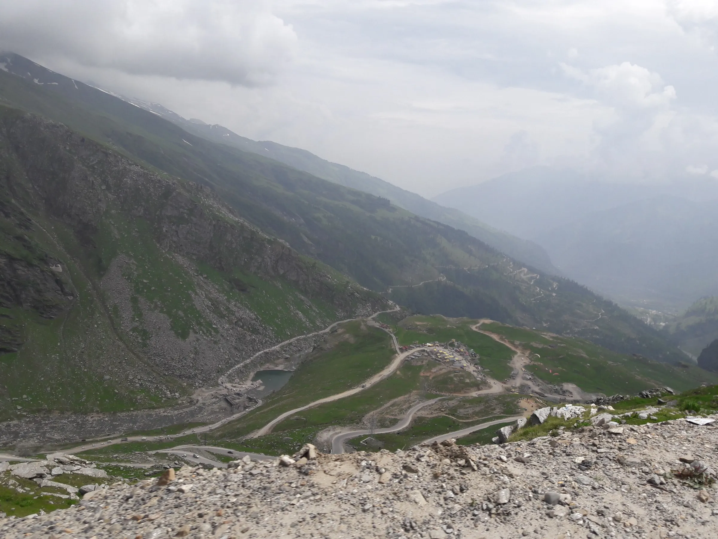
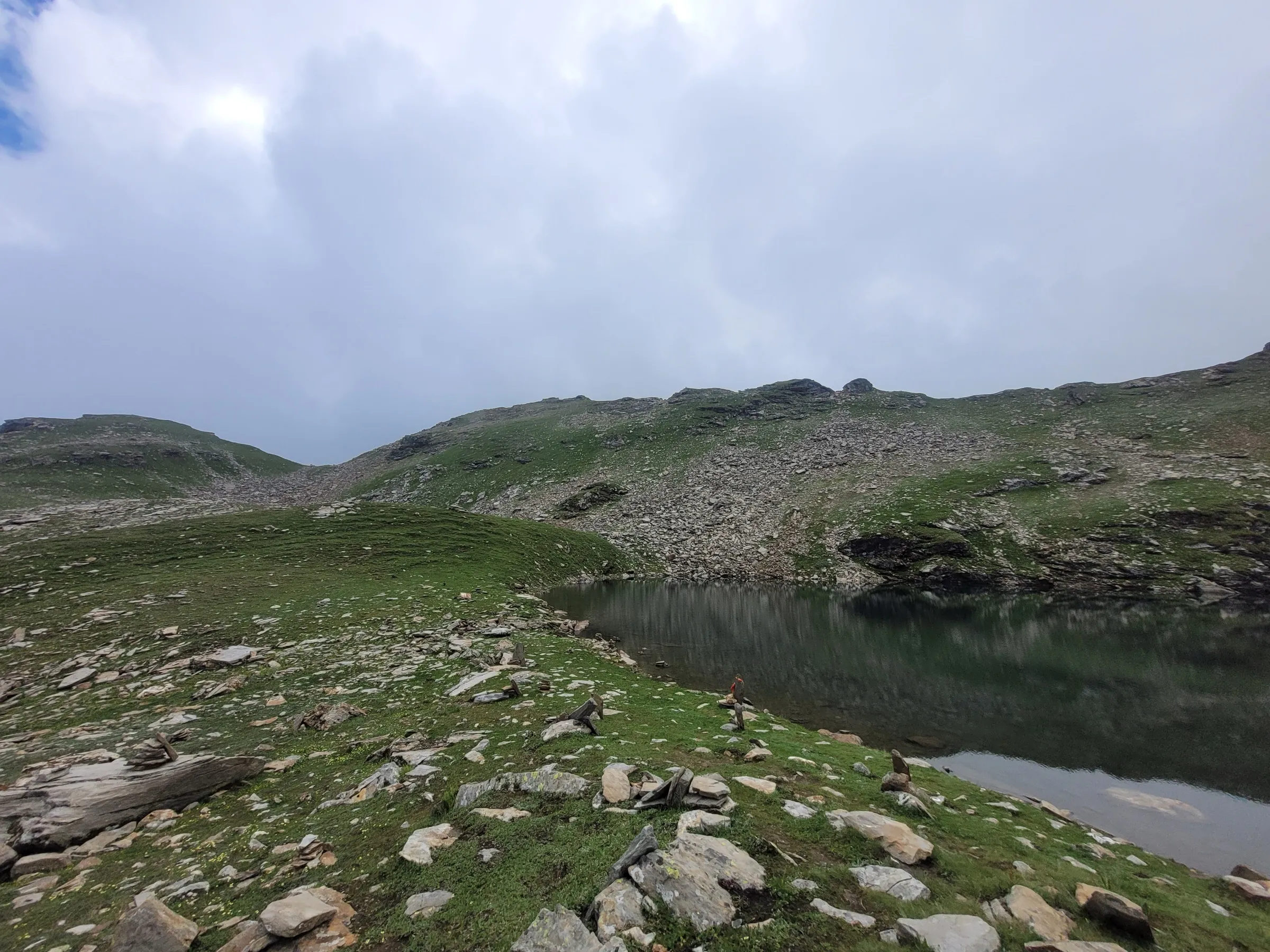
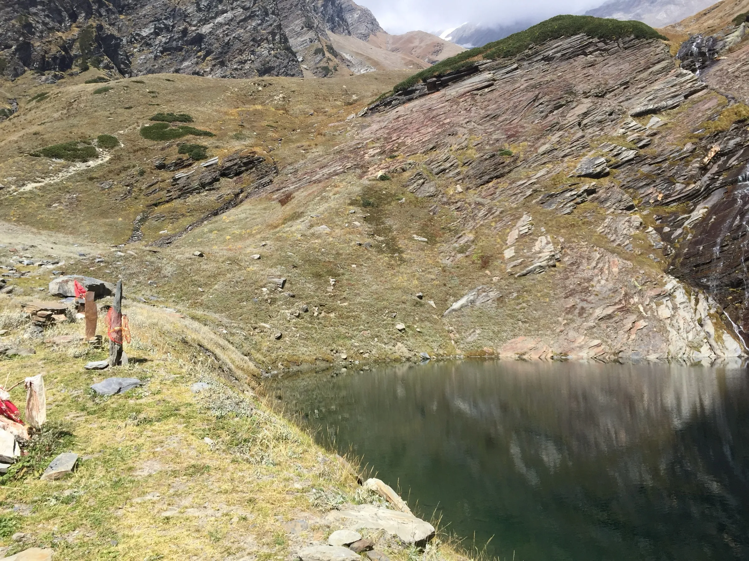
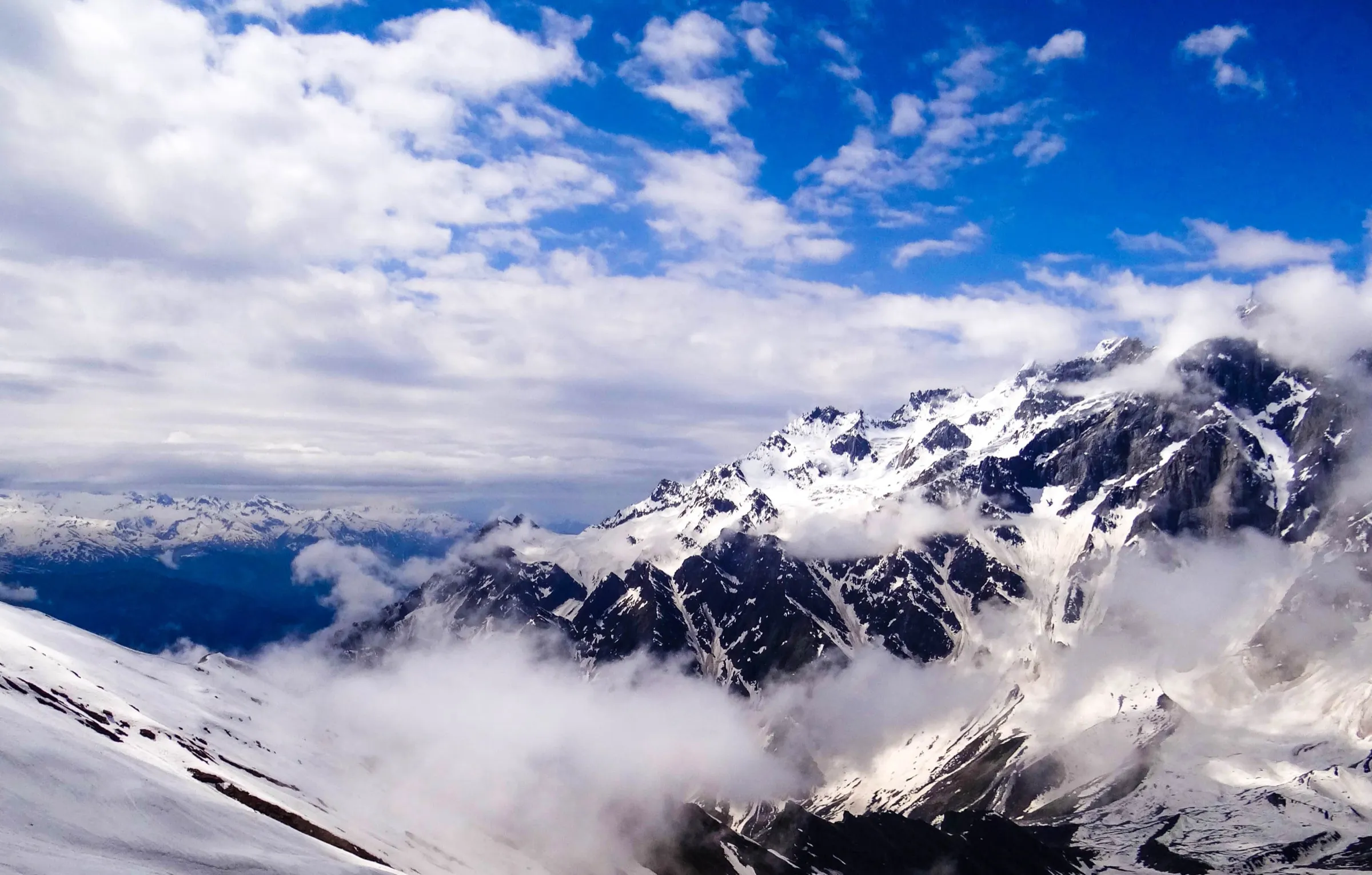
On the trail
The route
Day by day
Day 1
Solang (drive from Manali) → Shagadugh meadow
2,470 m → 2,960 m
Day 2
Shagadugh meadow → Patalsu Base Camp
2,960 m → 3,350 m
Day 3 · highest point
Patalsu Base Camp → Shagadugh meadow (via Patalsu summit)
3,350 m → 4,220 m → 2,960 m
Day 4
Shagadugh meadow → Solang (drive to Manali)
2,960 m → 2,470 m
Ups and downs
Altitude profile
Where it is
Map
Trailhead and high point only — not a recorded track. Use it with a proper map.
Weather
Next 5 days on the trail
Live forecast for the trailhead and the high point. Mountain weather changes fast — check again on the morning you start.
Trailhead · Solang
at 2,470 mLoading forecast…
High point · Patalsu Peak summit
at 4,220 mLoading forecast…
Each day: high / low °C · rain mm and chance · snow cm · wind km/h
Weather data: Open-Meteo.comModel forecast, not an official warning. For alerts follow IMD and the local administration.
Plan the trip
How to reach
- Trailhead
- Solang (nearest town: Manali)
- Nearest railway
- Joginder Nagar (narrow gauge); Chandigarh for most long-distance trains
- Nearest airport
- Bhuntar Airport (Kullu-Manali)
- By road
- Manali (about 13-14 km to Solang Nala; local buses from about 8 am, or taxi); Chandigarh (about 305 km to Manali); Delhi (about 540 km to Manali; overnight HRTC and private buses)
- Drive
- About 8 h from Chandigarh
Plan the trip
Permits and fees
We could not confirm the current permit rules and fees from an official source. Check with the local forest department or tourism office before you go.
Plan the trip
Cost
Self-guided
₹3,000–6,000
With an operator
₹5,000–10,800
Per person, ex-Manali. Guided prices published October 2026: Himalayan Frontiers ₹5,000 (offer price, listed ₹8,000, 3 days); Himtrek ₹6,800 + 5% GST (3 days); Himalaya Shelter ₹10,000 + 5% GST; Bikat Adventures ₹10,300 + 5% GST, Manali to Manali. Self-guided is an estimate: bus or taxi to Solang, a local guide, tent, stove and sleeping-bag hire from Manali, food, and any forest camping charge.
Gear
Top picks for this trek
The gear that matters most on this route, chosen from its altitude, season and risks.
 Ad · affiliate link
 Ad · affiliate link
 Ad · affiliate link
 Ad · affiliate link
 Ad · affiliate link
 Ad · affiliate link
 Ad · affiliate link
 Ad · affiliate link
Store buttons open a search on that store, not a product we picked. As an Amazon Associate we earn from qualifying purchases. Photos show the kind of item, not a specific product. Affiliate disclosure
Packing checklist
Matched to this trek: altitude, season, days and the risks on the route.
Packed 0 of 32
Nights near 4,220 m can drop close to freezing even in summer. Pack one more warm layer than you think.
Tick each item as it goes in the bag.
Know before you go
Good to know
- Mobile network
- Sources disagree: Bikat Adventures says Airtel and Jio work on most of the trail; Indiahikes says Solang is the last point with signal. Plan for no signal above Solang.
- Last ATM
- Manali (Indiahikes notes an ATM at Solang but advises drawing cash in Manali)
- Nearest hospital
- Manali; Solang has dispensaries for basic first aid only
- Water
- No water at Shagadugh or at the summit camp; a perennial source is about 500 m from the summit camp and may freeze in winter. No water on summit day, so carry 2 litres. Treat all water.
Highlights
- A real Himalayan summit, about 4,220 m, reachable in four days from Manali
- Views of Hanuman Tibba, Friendship Peak, Shitidhar, Deo Tibba, Indrasan and the Kullu, Solang and Beas valleys from the top
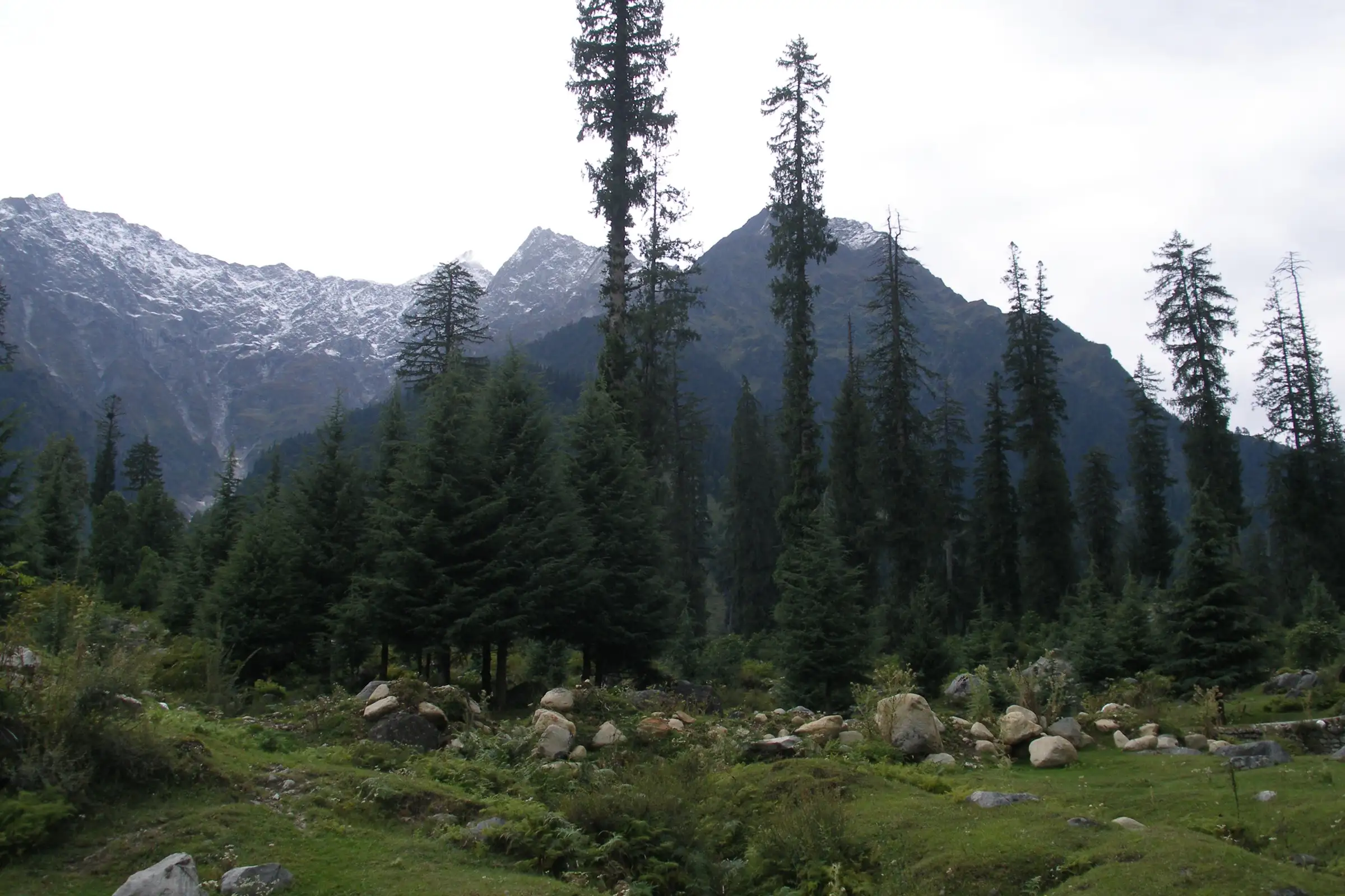
- Camping in the Shagadugh meadow above Solang, ringed by oak, spruce and horse-chestnut forest
- Apple orchards of Solang village and good birding, including monals and pheasants, in the forest
Risks
- Summit day climbs about 870 m on a steep, exposed ridge with no water. Head for the saddle first: Indiahikes warns that leaving the line can put you on a much steeper face, and the true top is the third bump, covered in loose boulders.
- Quick height gain (about 1,750 m in three trekking days) can cause altitude sickness. Turn back if headache, nausea or breathlessness get worse.
- From about December to March the upper slopes hold snow and nights fall below zero; crampons and gaiters are needed (Himalaya Shelter).
- July-August monsoon rain makes the forest trail slippery. Kullu forest officials have suspended trekking and camping in the district after heavy rain before, as in Hampta in September 2025, so check for current orders.
- Forest permission is needed to camp in Kullu forests and operators say several permits apply; we could not find an official fee, so self-guided trekkers should ask the Kullu forest office in Manali.
Know before you go
Questions
Is Patalsu Peak good for first-time trekkers?
Yes, with fitness. Bikat Adventures rates it BRS 2 and suitable for novices, and Indiahikes calls it easy-moderate. No technical skill is needed, but you climb about 1,750 m in three trekking days and the summit ridge is steep and rocky.
How high is Patalsu Peak?
Most operators give about 4,200-4,250 m (13,800-13,944 ft); Himalaya Shelter and Himalayan Frontiers say 4,220 m, which matches OpenStreetMap (4,230 m) and satellite terrain (about 4,240 m).
When is the best time to climb Patalsu?
May-June and September-October. Operators quote April-June and September-October (Bikat) or May to October (Himalaya Shelter, Himtrek). Winter trips run too, but the top is snowbound and needs crampons and gaiters; July-August rain makes the trail slippery.
How do I reach the start of the Patalsu trek?
The trek starts at Solang, about 13-14 km from Manali. Local buses run from Manali to Solang (the first leaves about 8 am), or take a taxi. Manali is about 12-14 hours by overnight bus from Delhi.
Is there mobile network and water on the trek?
Plan for no signal above Solang (Indiahikes), though Bikat reports Airtel and Jio on much of the trail. Water is scarce: none at Shagadugh or the summit camp, a spring about 500 m from the summit camp, and none on summit day.
In an emergency
Save these numbers before you lose signal. Tap to call.
- 112All emergenciesIndia’s single emergency number — works in every state
- 108Ambulance
- 1077District disaster control room
You are in
District: KulluHimachal Pradesh
- Nearest hospital
- Manali; Solang has dispensaries for basic first aid only
- Last ATM
- Manali (Indiahikes notes an ATM at Solang but advises drawing cash in Manali)
- Phone network
- Sources disagree: Bikat Adventures says Airtel and Jio work on most of the trail; Indiahikes says Solang is the last point with signal. Plan for no signal above Solang.
Before you set off
- Tell someone your route and when you will be back.
- Carry a charged phone and a power bank.
- Download an offline map of the route.
- Turn back if the weather turns bad — the mountain will wait.
Questions about Patalsu Peak
No questions yet. Ask something and trekkers who have done it can answer.
Share your trek photo with #TreksAndTrails
I trekked this
Did Patalsu Peak look different from this page? Tell us what changed and we will check it.
Where this comes from
Sources
Last reviewed:
- Patalsu Peak Trek - Trekking Near Manali — Bikat Adventures
- The Complete Guide To Patalsu Peak Trek — Indiahikes
- Patalsu Peak Trek | All Info, Best time, How to reach — Himalaya Shelter
- Patalsu Peak Trek: 3-Day Manali Adventure — Himtrek
- Patalsu Peak Trek — Himalayan Frontiers
- Himachal Government restricts trekking in high-altitude tracks from September 15 — The Tribune
Photos: Vyacheslav Argenberg, CC BY 4.0; Inu Etc, CC BY-SA 4.0