- Max altitude
- 3,893 m
- Days
- 4 days
- Distance
- 17 km
- Difficulty
- Moderate
Short daily distances and a well-marked trail, but you camp above 3,000 m on the first day and the summit day from Lohali climbs about 500 m over steep grass and boulder sections, with stream crossings in the monsoon and snow patches in June.
Photos
On the trail
The route
Day by day
Day 1
Manali (drive 14 km to Dhundi) → Palchhani Thatch
2,840 m → 3,089 m
Day 2
Palchhani Thatch → Lohali
3,089 m → 3,368 m
Day 3 · highest point
Lohali → Lohali (via Lady Leg, Beas Kund and the ridge viewpoint)
3,368 m → 3,893 m → 3,368 m
Day 4
Lohali → Dhundi (drive to Manali)
3,368 m → 2,840 m
Ups and downs
Altitude profile
Where it is
Map
Trailhead and high point only — not a recorded track. Use it with a proper map.
Weather
Next 5 days on the trail
Live forecast for the trailhead and the high point. Mountain weather changes fast — check again on the morning you start.
Trailhead · Dhundi
at 2,840 mLoading forecast…
High point · Beas Kund lake and the ridge viewpoint above it
at 3,893 mLoading forecast…
Each day: high / low °C · rain mm and chance · snow cm · wind km/h
Weather data: Open-Meteo.comModel forecast, not an official warning. For alerts follow IMD and the local administration.
Plan the trip
How to reach
- Trailhead
- Dhundi (nearest town: Manali)
- Nearest railway
- Joginder Nagar (narrow gauge); Chandigarh for broad gauge (about 275 km from Manali)
- Nearest airport
- Bhuntar (Kullu–Manali), about 52 km from Manali
- By road
- Manali to Dhundi via Solang (about 14–22 km, 1–1.5 hours); Delhi to Manali (about 540 km); Chandigarh to Manali (about 310 km)
- Drive
- About 13 h from Delhi
Plan the trip
Permits and fees
We could not confirm the current permit rules and fees from an official source. Check with the local forest department or tourism office before you go.
Plan the trip
Cost
Self-guided
₹3,000–6,000
With an operator
₹7,000–11,000
Per person, ex-Manali. Guided range from current operator listings: Wildcone ₹7,000; Bikat Adventures ₹7,500 + 5% GST (Manali to Manali); Trekhievers ₹7,999 + GST ex-Manali (₹5,999 ex-Solang); Indiahikes ₹8,450 + ₹1,800 return transport from Manali, plus GST. Packages include camping, meals and forest permits. Self-guided is an estimate: shared taxi Manali–Dhundi and back, rented tent and stove, food and the forest camping fee, which you should confirm at the Manali forest office.
Gear
Top picks for this trek
The gear that matters most on this route, chosen from its altitude, season and risks.
 Ad · affiliate link
 Ad · affiliate link
 Ad · affiliate link
 Ad · affiliate link
 Ad · affiliate link
 Ad · affiliate link
 Ad · affiliate link
 Ad · affiliate link
Store buttons open a search on that store, not a product we picked. As an Amazon Associate we earn from qualifying purchases. Photos show the kind of item, not a specific product. Affiliate disclosure
Packing checklist
Matched to this trek: altitude, season, days and the risks on the route.
Packed 0 of 35
Snow on the trail in May: microspikes, gaiters and a warm layer are not optional.
Tick each item as it goes in the bag.
Know before you go
Good to know
- Mobile network
- Intermittent signal a little past Solang; none on the trail. Manali is the last reliable network and charging point
- Last ATM
- Manali
- Nearest hospital
- Mission Hospital / Civil Hospital, Manali (about 14 km from Dhundi)
- Water
- Streams at Palchhani Thatch, Bakarthach and Lohali fed by the Beas headwaters; treat or filter, and expect stream crossings in the monsoon
Highlights
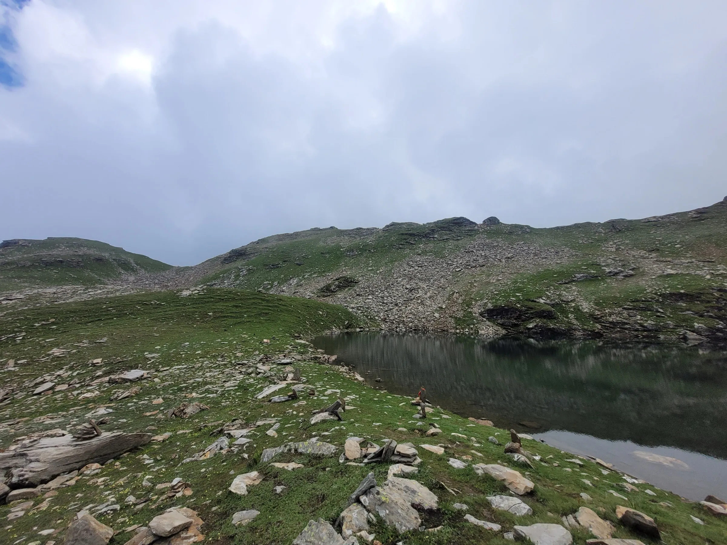
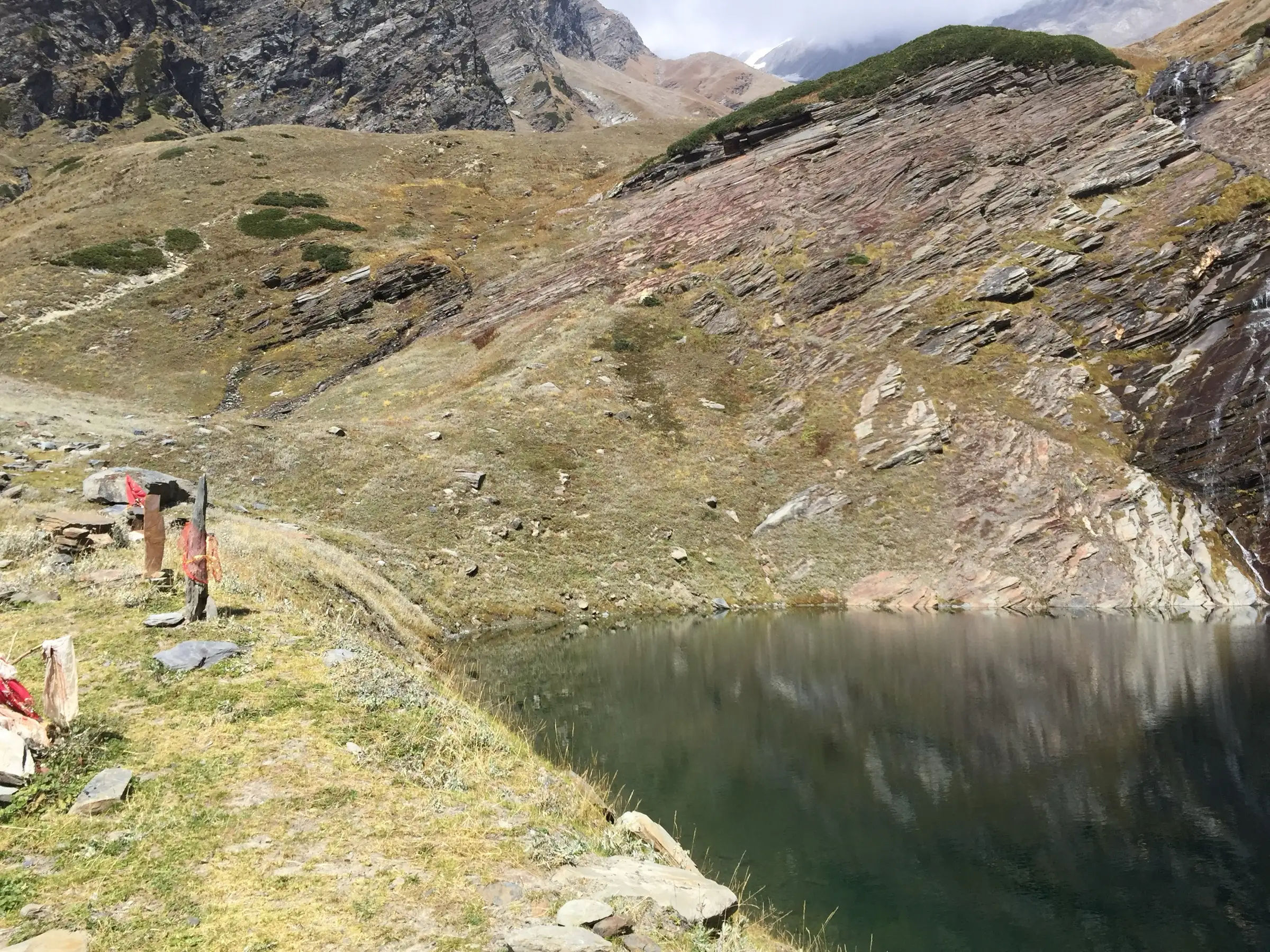
- The glacial lake that is the source of the Beas River, held sacred as the place where Rishi Vyas meditated
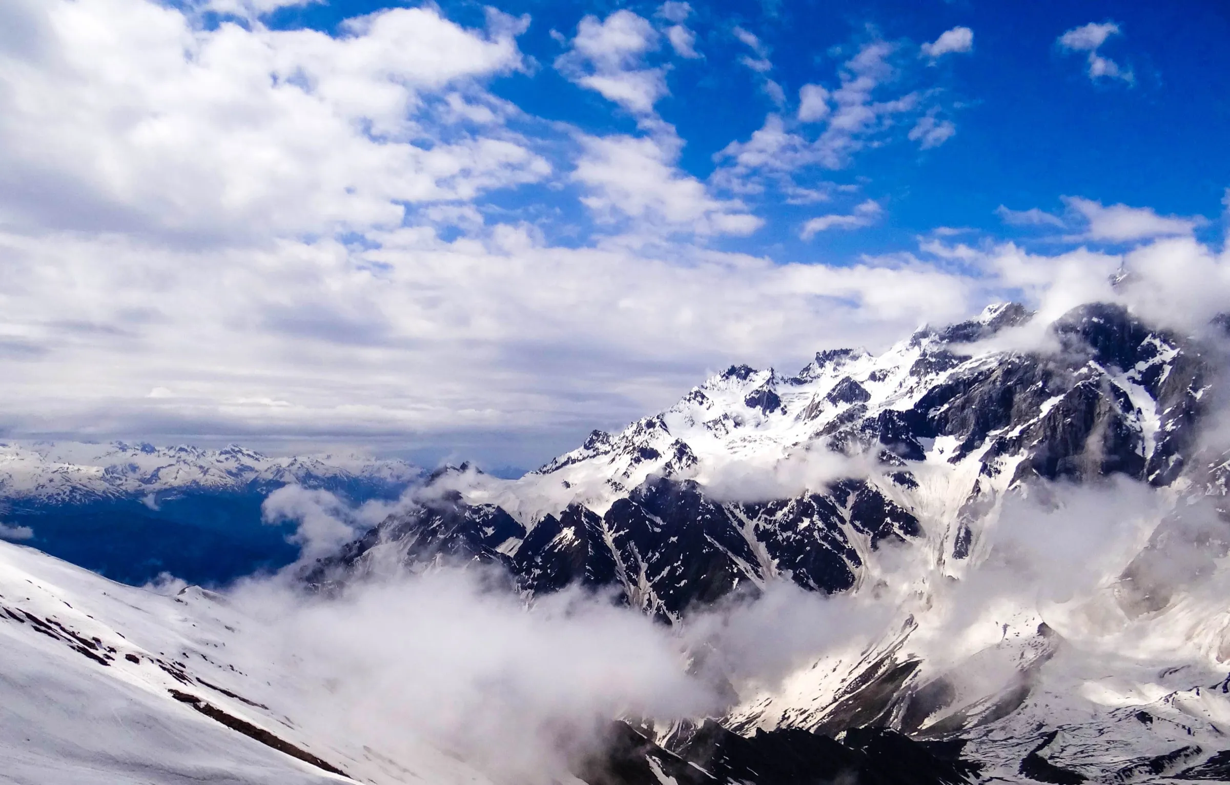
- Close-up views of Hanuman Tibba, Friendship Peak, Shitidhar, Ladakhi and the Seven Sisters from the Lohali bowl
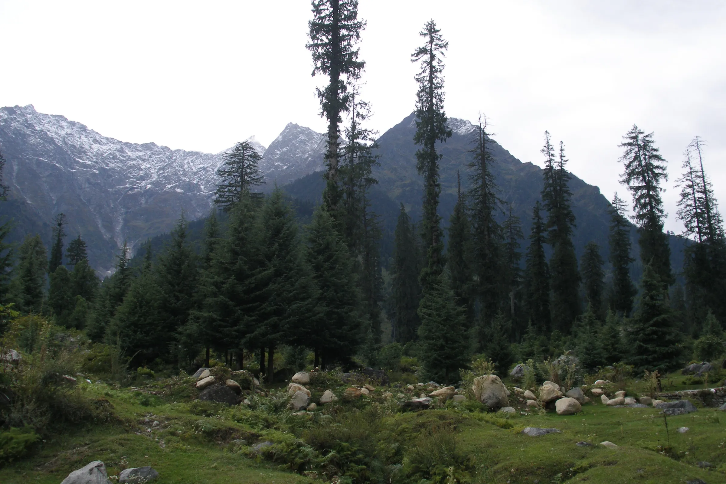
- Deodar, pine and maple forest above Solang, then open alpine meadows at Bakarthach and Lohali
- Lady Leg meadow, the summit camp for Friendship Peak, and a ridge viewpoint looking down on the lake
- One of the shortest high-altitude lake treks from Manali, done in three to four days
Risks
- Altitude sickness: you camp above 3,000 m on day one and reach about 3,890 m on day three; arrive in Manali a day early
- Monsoon (mid-July to August): heavy afternoon rain, slushy trail, fog that hides the peaks and swollen streams that need help to cross
- Snow patches in June and early July on the final climb to the lake; microspikes help
- The Manali highway beyond Mandi is prone to landslides; keep a buffer day for the return
- Snowfall can begin from mid-October and the trail is under heavy snow from November to April; Bikat Adventures says the trek is not recommended then and Himalaya Shelter tells beginners to avoid it. Attempt it in winter only with snow experience, proper gear and a local guide
Know before you go
Questions
How difficult is the Beas Kund trek?
It is rated easy to moderate. Daily distances are short (about 2–6 km), but you gain altitude quickly and the summit day from Lohali to the lake and back takes 6–8 hours with a steep climb. Indiahikes asks trekkers to be able to jog 5 km in 35 minutes.
What is the best time to do Beas Kund?
May–June and September–October are the most recommended months. June still has snow patches and a partly frozen lake; July and August are monsoon months with rain and slippery trails but green, flower-filled meadows. From November to April the trail is under heavy snow.
How high is Beas Kund?
Most operators give the trek's highest point as about 12,772–12,800 ft (about 3,890 m), which is the ridge viewpoint above Lady Leg. The lake itself lies a little lower, at about 3,700 m.
How do I reach the start of the trek?
The trek starts at Dhundi, about 14 km beyond Manali past Solang Valley. Reach Manali by overnight bus from Delhi or Chandigarh, or fly to Bhuntar (about 52 km away), then take a taxi to Dhundi. Some operators start walking from Solang instead.
Is there mobile network on the Beas Kund trek?
There may be intermittent signal a little after Solang Valley, but none on the trail. Manali is the last place with reliable network and charging, so make important calls before you leave.
In an emergency
Save these numbers before you lose signal. Tap to call.
- 112All emergenciesIndia’s single emergency number — works in every state
- 108Ambulance
- 1077District disaster control room
You are in
District: KulluHimachal Pradesh
- Nearest hospital
- Mission Hospital / Civil Hospital, Manali (about 14 km from Dhundi)
- Last ATM
- Manali
- Phone network
- Intermittent signal a little past Solang; none on the trail. Manali is the last reliable network and charging point
Before you set off
- Tell someone your route and when you will be back.
- Carry a charged phone and a power bank.
- Download an offline map of the route.
- Turn back if the weather turns bad — the mountain will wait.
Questions about Beas Kund
No questions yet. Ask something and trekkers who have done it can answer.
Share your trek photo with #TreksAndTrails
I trekked this
Did Beas Kund look different from this page? Tell us what changed and we will check it.
Where this comes from
Sources
Last reviewed:
- Beas Kund Trek — Indiahikes
- Beas Kund Trek — Trek The Himalayas
- Beas Kund Trek — Bikat Adventures
- Beas Kund Trek — Himalaya Shelter
- Beas Kund Trek — Trekhievers
- Beas Kund Trek — Himalayan Frontiers
- Beas Kund Trek — Wildcone
- Beas Kund Trek – A Complete Travel Guide and Itinerary — Vargis Khan (trip report)
Photos: Gaurav Dhingra, CC BY-SA 4.0; Gaurav Dhingra, CC BY-SA 4.0; Gxyd, CC BY-SA 4.0