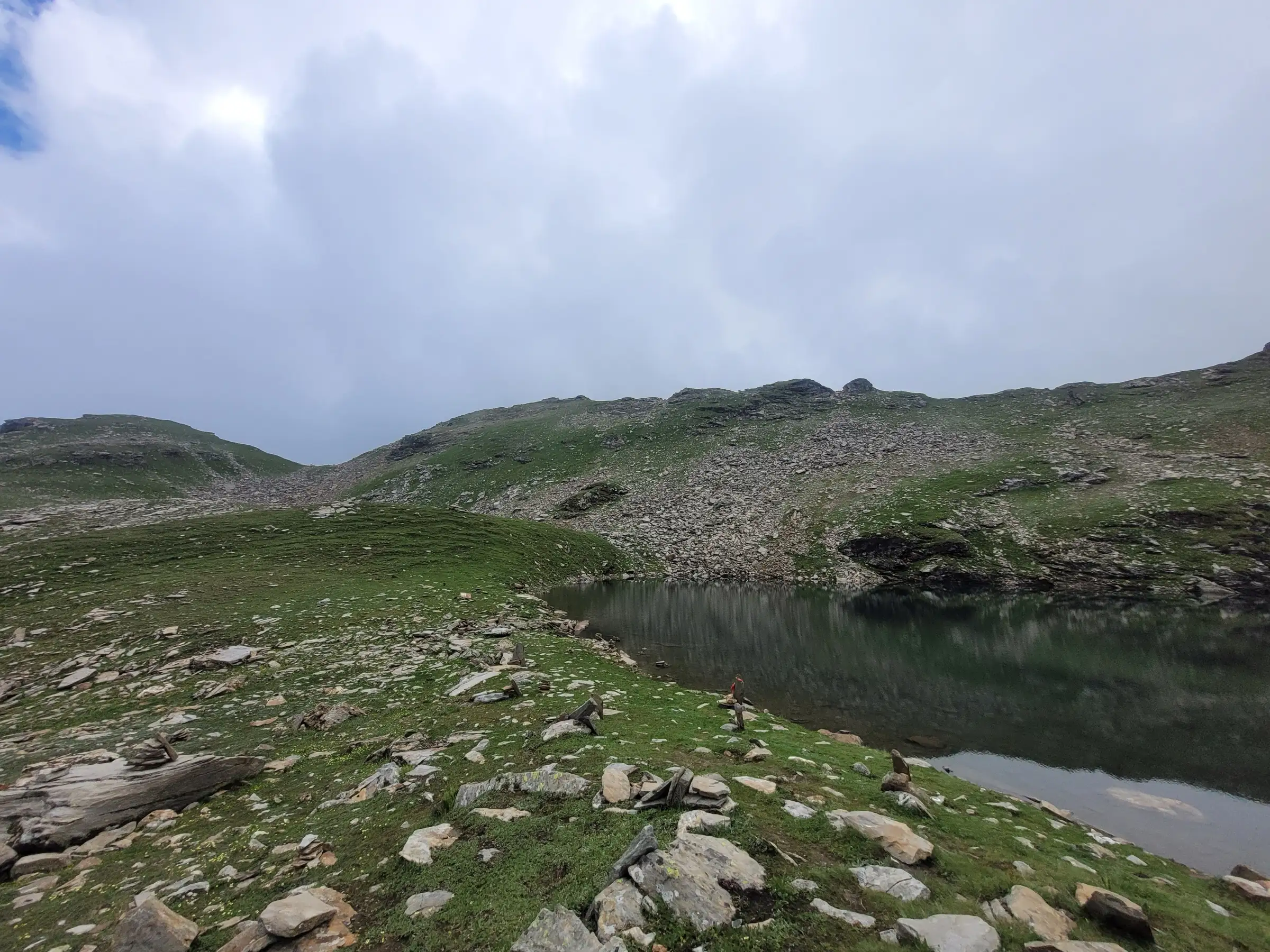
- Max altitude
- 4,270 m
- Days
- 4 days
- Distance
- 22 km
- Difficulty
- Moderate
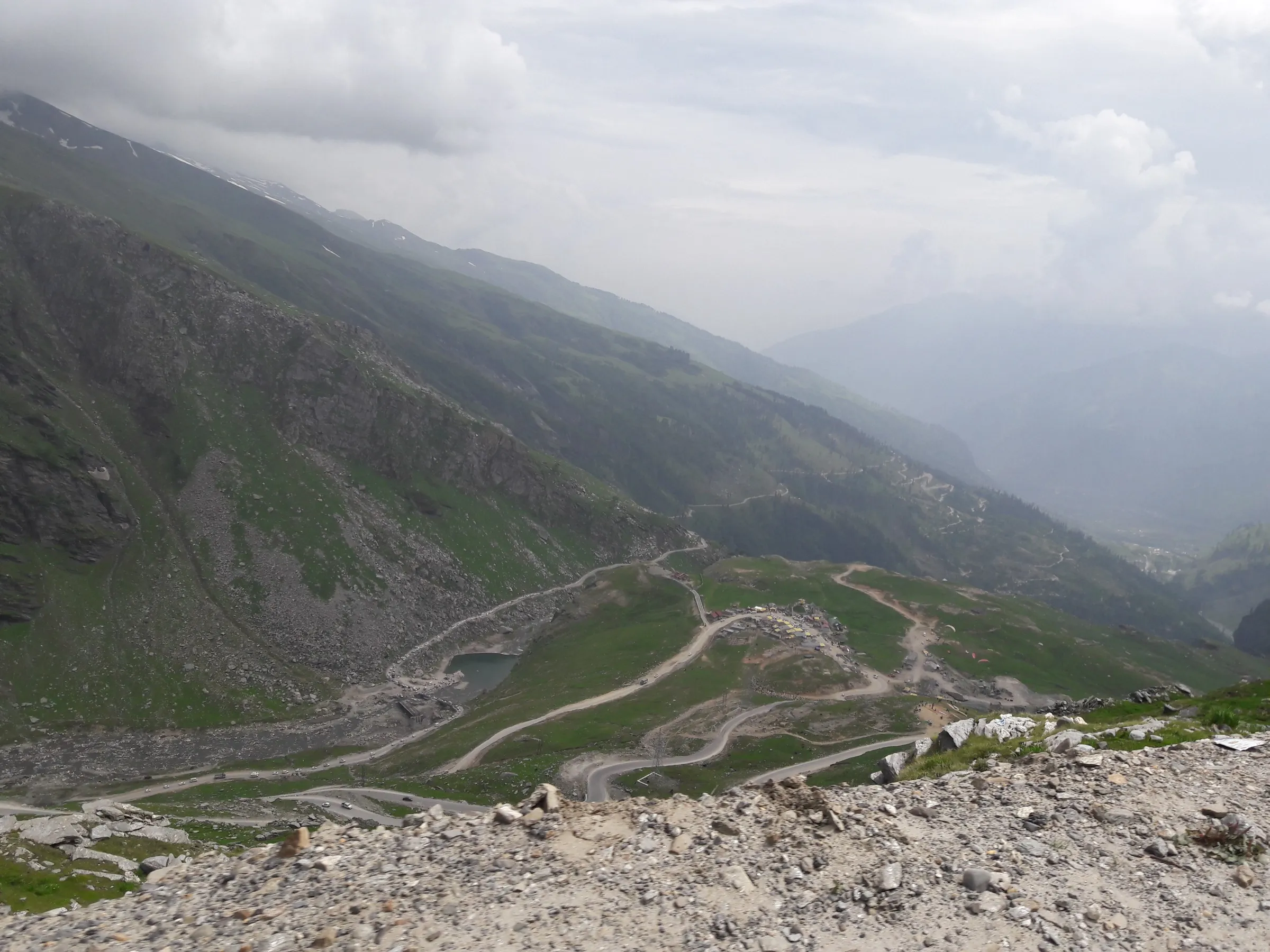
No technical sections, but you climb from about 3,000 m at Gulaba to about 4,270 m in three days. The summit day from Rola Kholi is a 10 km, 7–8 hour round trip on steep, rocky ground with snow patches and snow bridges in early summer.
Photos
On the trail
The route
Day by day
Day 1
Manali (drive about 21–24 km to Gulaba) → Jonker Thatch
3,010 m → 3,135 m
Day 2
Jonker Thatch → Rola Kholi
3,135 m → 3,837 m
Day 3 · highest point
Rola Kholi → Rola Kholi (via Bhrigu Lake)
3,837 m → 4,270 m → 3,837 m
Day 4
Rola Kholi → Gulaba (drive to Manali)
3,837 m → 3,010 m
Ups and downs
Altitude profile
Where it is
Map
Trailhead and high point only — not a recorded track. Use it with a proper map.
Weather
Next 5 days on the trail
Live forecast for the trailhead and the high point. Mountain weather changes fast — check again on the morning you start.
Trailhead · Gulaba
at 3,010 mLoading forecast…
High point · Bhrigu Lake
at 4,270 mLoading forecast…
Each day: high / low °C · rain mm and chance · snow cm · wind km/h
Weather data: Open-Meteo.comModel forecast, not an official warning. For alerts follow IMD and the local administration.
Plan the trip
How to reach
- Trailhead
- Gulaba (nearest town: Manali)
- Nearest railway
- Joginder Nagar (narrow gauge, about 150 km); Chandigarh for broad gauge (about 265 km from Manali)
- Nearest airport
- Bhuntar (Kullu–Manali), about 52 km from Manali
- By road
- Manali to Gulaba on the Manali–Rohtang road via Palchan and Kothi (about 21–25 km, 1 hour); Delhi to Manali (about 540 km, overnight bus); Chandigarh to Manali (about 310 km)
- Drive
- About 13 h from Delhi
Plan the trip
Permits and fees
We could not confirm the current permit rules and fees from an official source. Check with the local forest department or tourism office before you go.
Plan the trip
Cost
Self-guided
₹3,000–6,000
With an operator
₹7,000–11,500
Per person, ex-Manali. Guided range from current operator listings: Bikat Adventures ₹7,500 + 5% GST (Manali to Manali); Trek The Himalayas ₹7,800 + 5% GST (Gulaba to Gulaba); Wildcone ₹8,000; Indiahikes ₹8,450 plus ₹1,800 for Manali–Gulaba transport, plus GST; Himalaya Shelter ₹11,500. Guided packages include camping, meals and forest permits. Self-guided is an estimate: shared taxi Manali–Gulaba and back, rented tent and stove, food, and the forest camping fee, which you should confirm at the forest office in Manali.
Gear
Top picks for this trek
The gear that matters most on this route, chosen from its altitude, season and risks.
 Ad · affiliate link
 Ad · affiliate link
 Ad · affiliate link
 Ad · affiliate link
 Ad · affiliate link
 Ad · affiliate link
 Ad · affiliate link
 Ad · affiliate link
Store buttons open a search on that store, not a product we picked. As an Amazon Associate we earn from qualifying purchases. Photos show the kind of item, not a specific product. Affiliate disclosure
Packing checklist
Matched to this trek: altitude, season, days and the risks on the route.
Packed 0 of 35
Snow on the trail in Jun: microspikes, gaiters and a warm layer are not optional.
Tick each item as it goes in the bag.
Know before you go
Good to know
- Mobile network
- Good in Manali. Bikat Adventures reports Airtel and Jio signal on much of the trail, but Himalaya Shelter says it is almost non-existent at the higher camps. Do not rely on it above Rola Kholi
- Last ATM
- Manali
- Nearest hospital
- Mission Hospital / Civil Hospital, Manali (about 22 km from Gulaba)
- Water
- Streams on the meadows, and Chor Nallah, which runs through the Rola Kholi campsite. There is no water on the final climb to the lake, so fill up at Rola Kholi and treat or filter it
Highlights
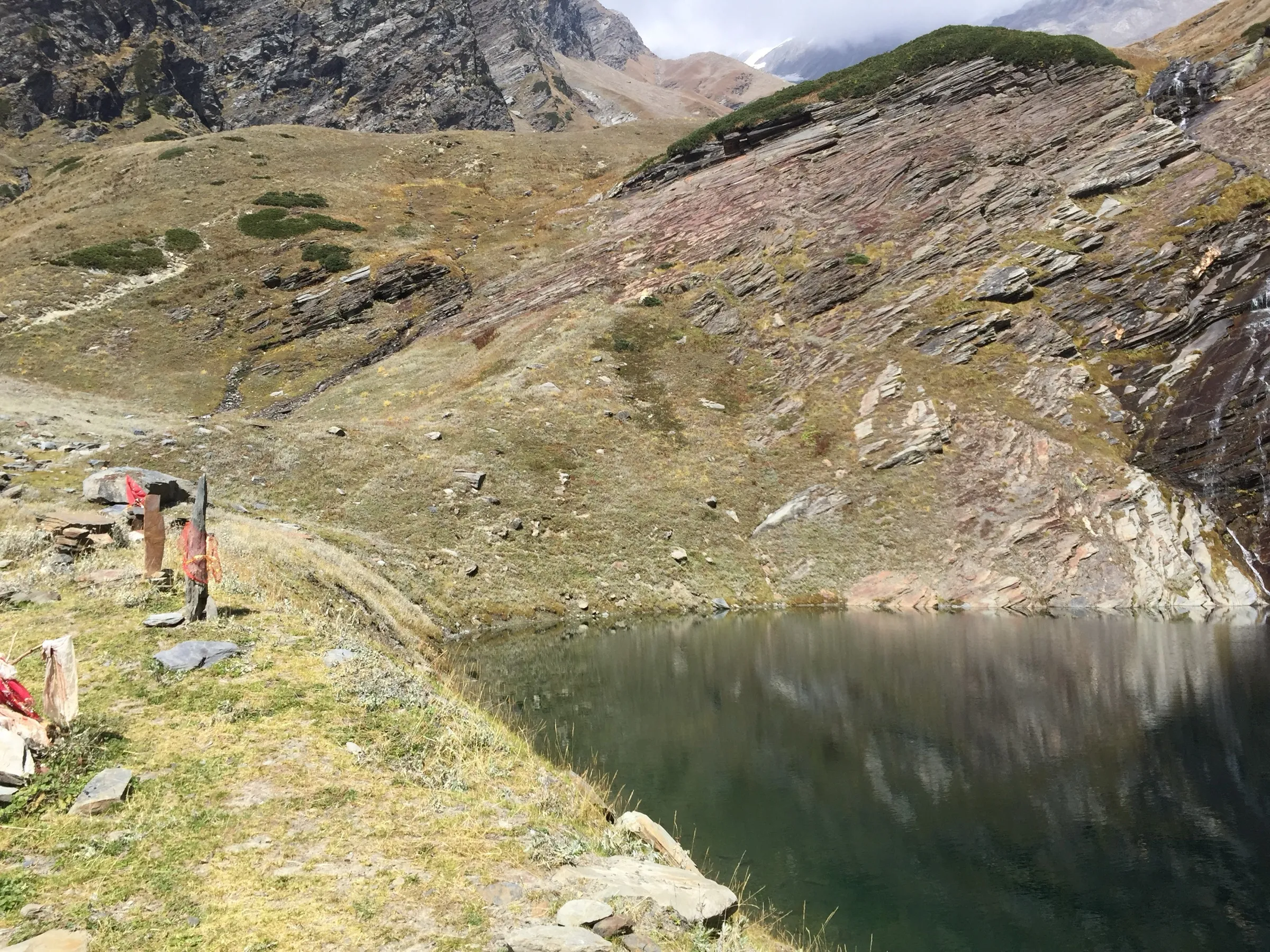
- A glacial lake at about 4,270 m, held sacred as the place where Maharishi Bhrigu meditated; it is half-frozen in early summer
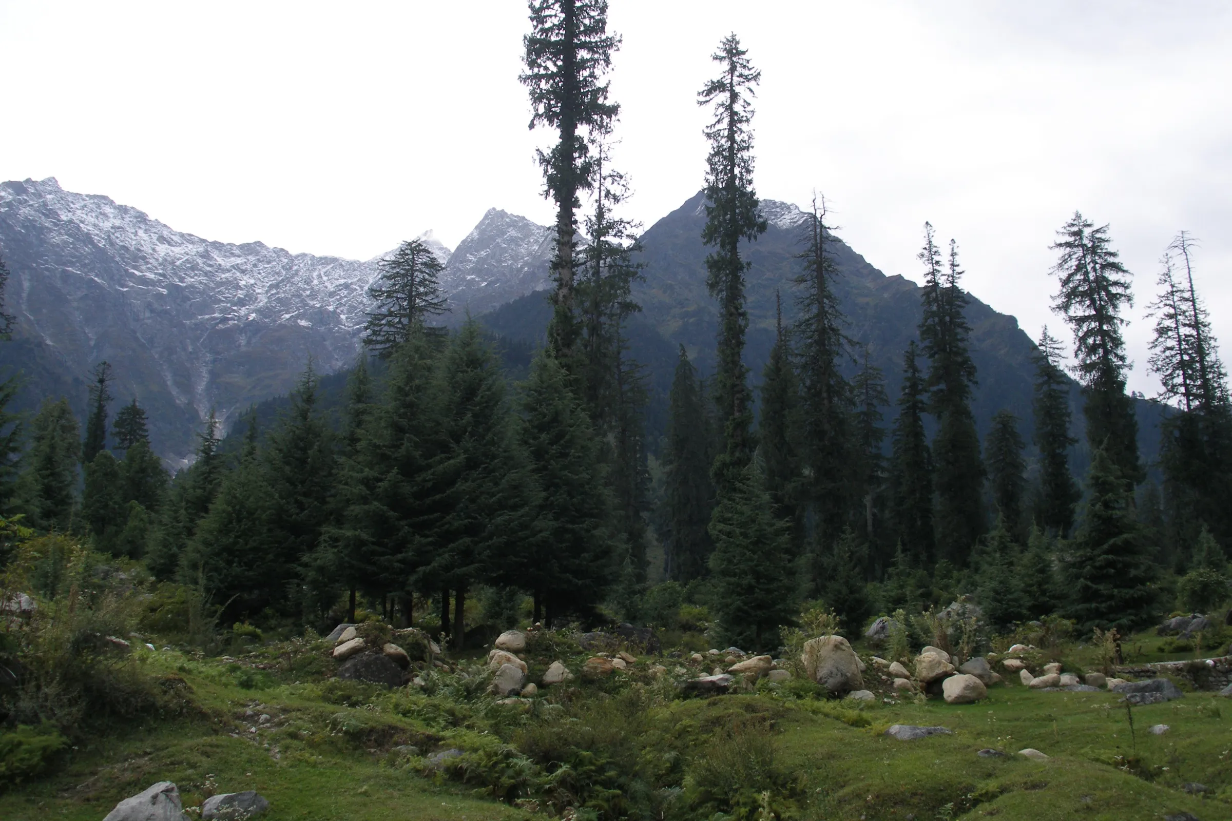
- Rolling alpine meadows begin within an hour of the Gulaba roadhead, among the finest grasslands in Himachal
- Wildflowers carpet the meadows from July to September; the trek is at its greenest in the monsoon
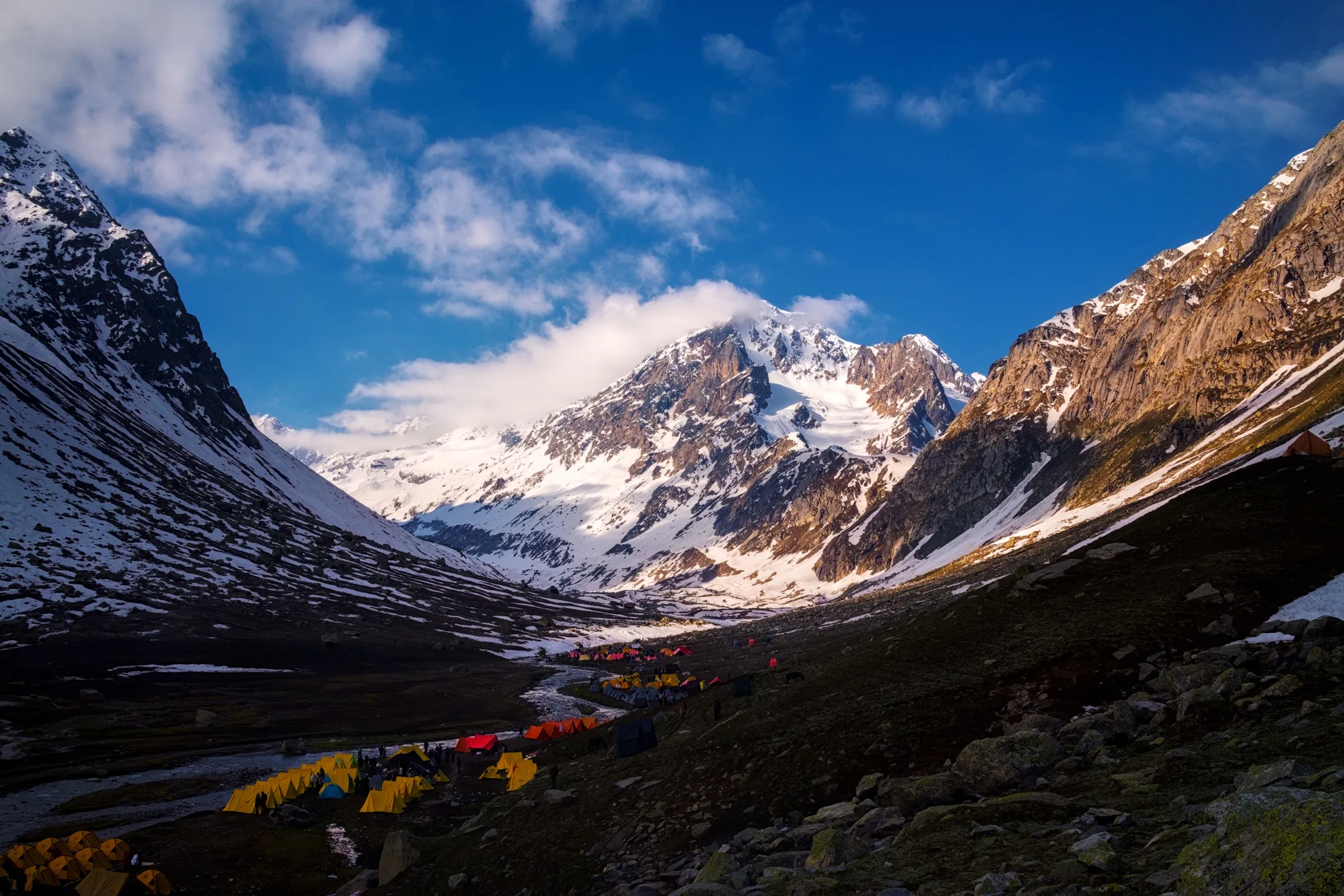
- Views of Hanuman Tibba, the Seven Sisters and the Pir Panjal and Dhauladhar ranges from Jonker Thatch and Rola Kholi
- A short high-altitude lake trek that takes four days from Manali
Risks
- Altitude sickness: you go from about 3,000 m to about 4,270 m in three days. Arrive in Manali a day early and turn back if symptoms worsen
- Snow on the summit day in May and June. Microspikes help on snow bridges and on the final steep climb to the lake
- Monsoon (July–August): rain, slippery trails and fog. The Manali highway is prone to landslides, so keep a buffer day
- April and the shoulder weeks around the season: heavy snow lingers. Himalaya Shelter lists November to April as unsuitable, but Himalayan Frontiers also calls the trek ideal from April, so April is not listed as closed. Do not attempt it in snow without experience and a local guide
- The summit day is a long 10 km round trip. Start early from Rola Kholi to beat afternoon weather
Know before you go
Questions
How difficult is the Bhrigu Lake trek?
It is rated easy to moderate and suits fit beginners, but you climb to over 14,000 ft in four days. The summit day from Rola Kholi to the lake and back is about 10 km and takes 7–8 hours. Indiahikes asks trekkers to be able to jog 5 km in 35 minutes.
What is the best time to do Bhrigu Lake?
June to early October. June has snow on the trail and a partly frozen lake. July and August are the green, wildflower months, with rain. September and October bring the clearest mountain views. From November to April the trail is under heavy snow.
Where does the Bhrigu Lake trek start and how do I get there?
It starts at Gulaba, about 21–25 km from Manali on the Rohtang Pass road, roughly a one-hour drive. Most operators pick up from Manali. A longer alternative route climbs from Vashisht village near Manali.
How long is the Bhrigu Lake trek?
About 20–24 km of walking over 4 days: Gulaba to Jonker Thatch, Jonker Thatch to Rola Kholi, Rola Kholi to the lake and back, then down to Gulaba. Some operators run a 3-day version.
Is there mobile network and an ATM on the trek?
The last ATM is in Manali, so carry cash. Network is reliable in Manali. Reports differ on the trail: Bikat Adventures reports Airtel and Jio on much of it, but Himalaya Shelter says signal is almost non-existent at the higher camps.
In an emergency
Save these numbers before you lose signal. Tap to call.
- 112All emergenciesIndia’s single emergency number — works in every state
- 108Ambulance
- 1077District disaster control room
You are in
District: KulluHimachal Pradesh
- Nearest hospital
- Mission Hospital / Civil Hospital, Manali (about 22 km from Gulaba)
- Last ATM
- Manali
- Phone network
- Good in Manali. Bikat Adventures reports Airtel and Jio signal on much of the trail, but Himalaya Shelter says it is almost non-existent at the higher camps. Do not rely on it above Rola Kholi
Before you set off
- Tell someone your route and when you will be back.
- Carry a charged phone and a power bank.
- Download an offline map of the route.
- Turn back if the weather turns bad — the mountain will wait.
Questions about Bhrigu Lake
No questions yet. Ask something and trekkers who have done it can answer.
Share your trek photo with #TreksAndTrails
I trekked this
Did Bhrigu Lake look different from this page? Tell us what changed and we will check it.
Where this comes from
Sources
Last reviewed:
- Bhrigu Lake Trek 2027 | A High Altitude Lake at 14,000 ft — Indiahikes
- Bhrigu Lake Trek — Trek The Himalayas
- Bhrigu Lake Trek — Bikat Adventures
- Bhrigu Lake Trek — Himalaya Shelter
- Bhrigu Lake Trek Package from Manali | 3 Days Easy Himalayan Trek — Himalayan Frontiers
- Bhrigu Lake Trek — Wildcone
- Bhrigu Lake — Wikipedia
Photos: In Transit, CC BY 4.0; Kartik.a.rokde, CC BY-SA 3.0; Harsh.dattani, CC BY 3.0