Ransai Forest Trek
Raigad, Maharashtra
Opens without signal on this phone, with the map file and checklist. Saved for offline →
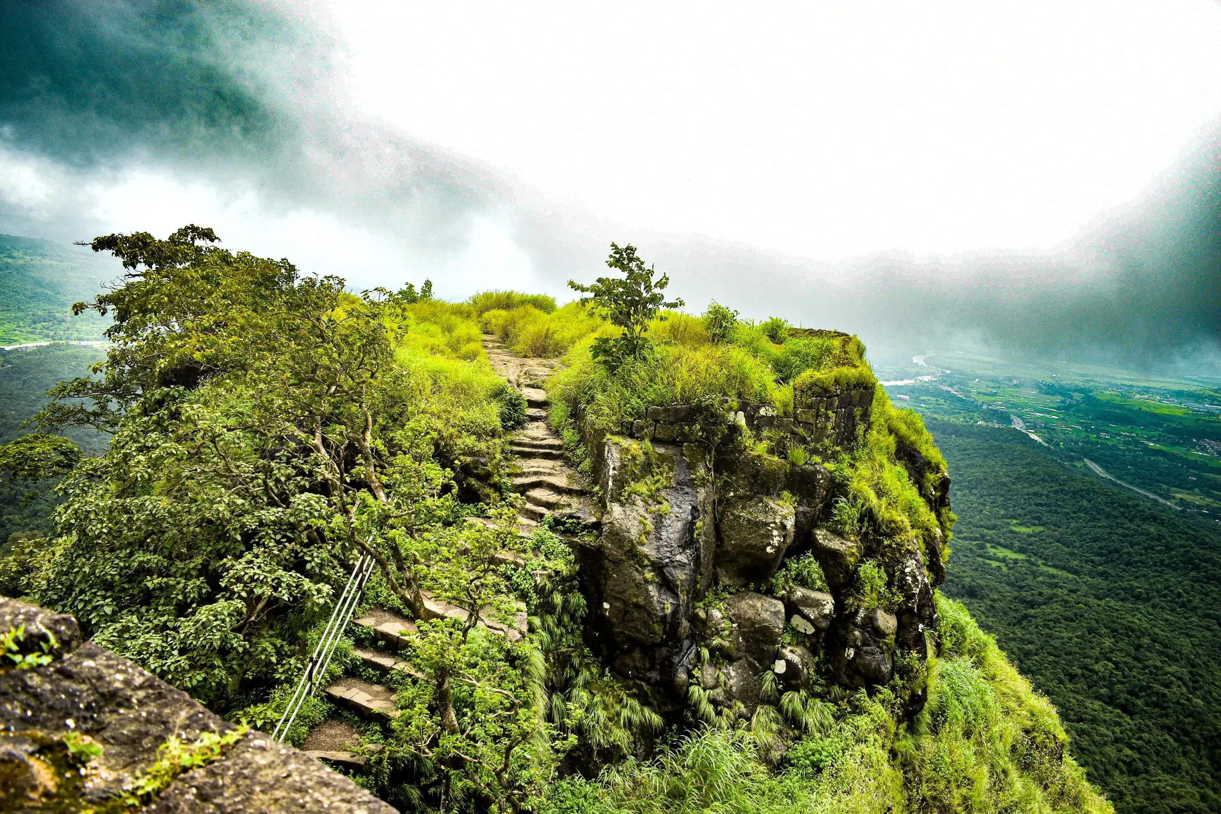
- Max altitude
- 174 m
- Days
- 1 day
- Distance
- 7 km
- Difficulty
- Easy
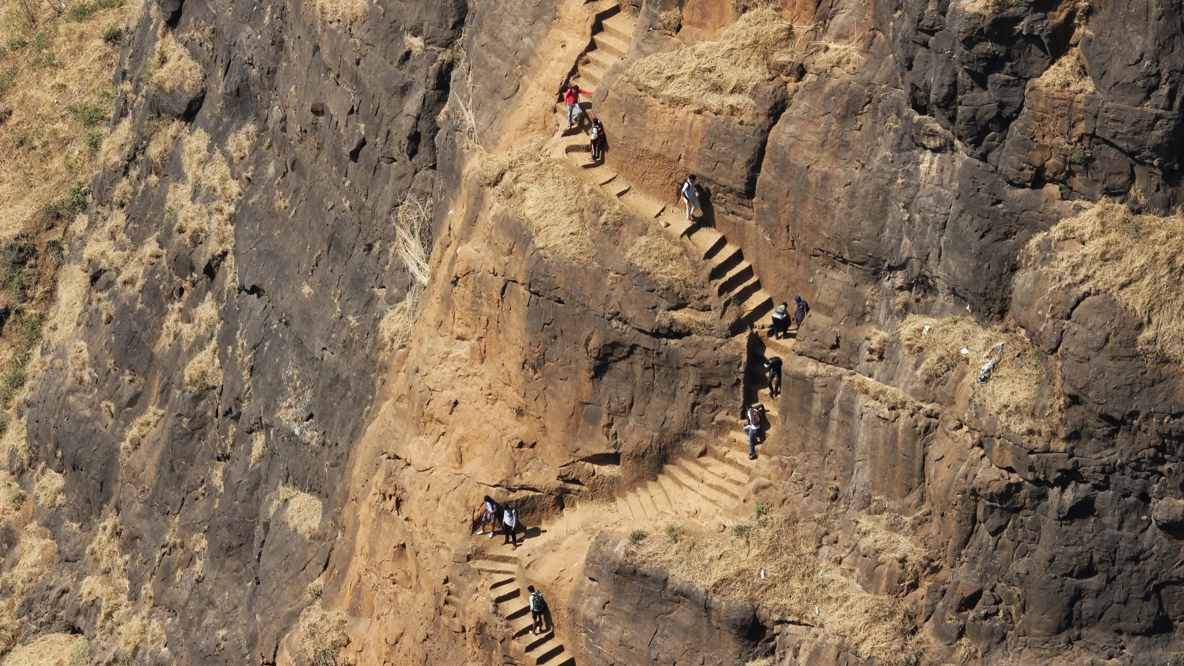
A gentle half-day walk of about 7 km return with roughly 130 m of climbing; the only steep part is a short rocky ascent to the first meadow, but the forest path is faint in places and turns slippery in the monsoon.
Photos
On the trail
The route
Day by day
Day 1 · highest point
Ransai village (Zilla Parishad School) → Ransai village (Zilla Parishad School)
44 m → 174 m → 44 m
Ups and downs
Altitude profile
Where it is
Map
Trailhead and high point only — not a recorded track. Use it with a proper map.
Weather
Next 5 days on the trail
Live forecast for the trailhead and the high point. Mountain weather changes fast — check again on the morning you start.
Trailhead · Raigad Zilla Parishad School, Ransai
at 44 mLoading forecast…
High point · Karnala Thumb viewpoint (forest clearing)
at 174 mLoading forecast…
Each day: high / low °C · rain mm and chance · snow cm · wind km/h
Weather data: Open-Meteo.comModel forecast, not an official warning. For alerts follow IMD and the local administration.
Plan the trip
How to reach
- Trailhead
- Raigad Zilla Parishad School, Ransai (nearest town: Panvel)
- Nearest railway
- Panvel (Harbour and Trans-Harbour line local trains; exit on the west side towards Old Panvel / Forest Colony)
- Nearest airport
- Navi Mumbai International Airport; Chhatrapati Shivaji Maharaj International Airport, Mumbai
- By road
- Panvel by autorickshaw, about 45 minutes via the Karnala area and an interior village road; Mumbai by car or two-wheeler via Panvel towards Karnala
- Drive
- About 2.5 h from Mumbai
Plan the trip
Permits and fees
We could not confirm the current permit rules and fees from an official source. Check with the local forest department or tourism office before you go.
Plan the trip
Cost
Self-guided
₹300–800
With an operator
₹450–1,000
Ex-Panvel. No trek operator was found selling this trail. Indiahikes (August 2026 visit) reports an autorickshaw fare of about ₹75 per person each way from Panvel station and a local guide (Mr Sunil) at ₹300 per person; the guided range adds that guide fee to transport and a village meal arranged in advance. Self-guided = return autorickshaw plus food. Confirm fares locally.
Gear
Top picks for this trek
The gear that matters most on this route, chosen from its altitude, season and risks.
 Ad · affiliate link
 Ad · affiliate link
 Ad · affiliate link
 Ad · affiliate link
- Ad · affiliate link
 Ad · affiliate link
 Ad · affiliate link
 Ad · affiliate link
Store buttons open a search on that store, not a product we picked. As an Amazon Associate we earn from qualifying purchases. Photos show the kind of item, not a specific product. Affiliate disclosure
Packing checklist
Matched to this trek: altitude, season, days and the risks on the route.
Packed 0 of 20
Monsoon months (Jul–Sep): pack everything in plastic or a dry bag and wear shoes with good grip.
Tick each item as it goes in the bag.
Know before you go
Good to know
- Mobile network
- Unreliable inside the forest (Indiahikes); download the GPX track and offline map before starting
- Last ATM
- Panvel (no ATM reported in Ransai village)
- Nearest hospital
- Panvel, about 45 minutes by road
- Water
- No dependable shops or facilities on the trail; carry all drinking water from the base. Seasonal streams flow only in the monsoon.
Highlights
- Monsoon paddy fields below the earthen wall of Ransai Dam, with farmers transplanting rice in July
- Two forest meadows that flower pink (Jungli Aboli) and yellow (Smithia) from about August to late October
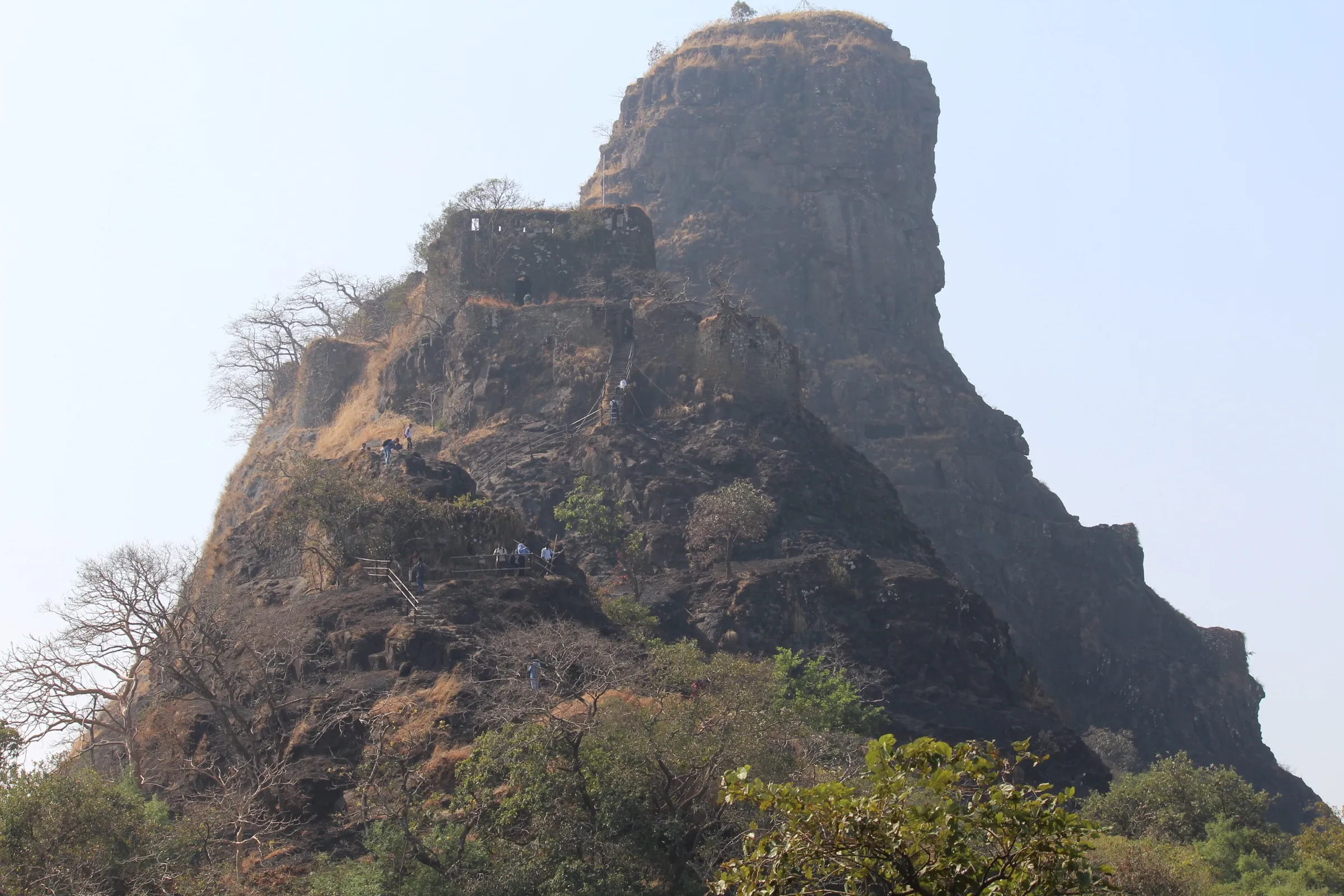
- Close views of the Karnala Thumb, the basalt pinnacle of Karnala Fort, from a quiet natural clearing
- Dense riverside forest with birds such as White-rumped Shama, Golden Oriole, Rufous Treepie and Purple Sunbird
- A seasonal waterfall and shallow pool near the base village on the return leg
Risks
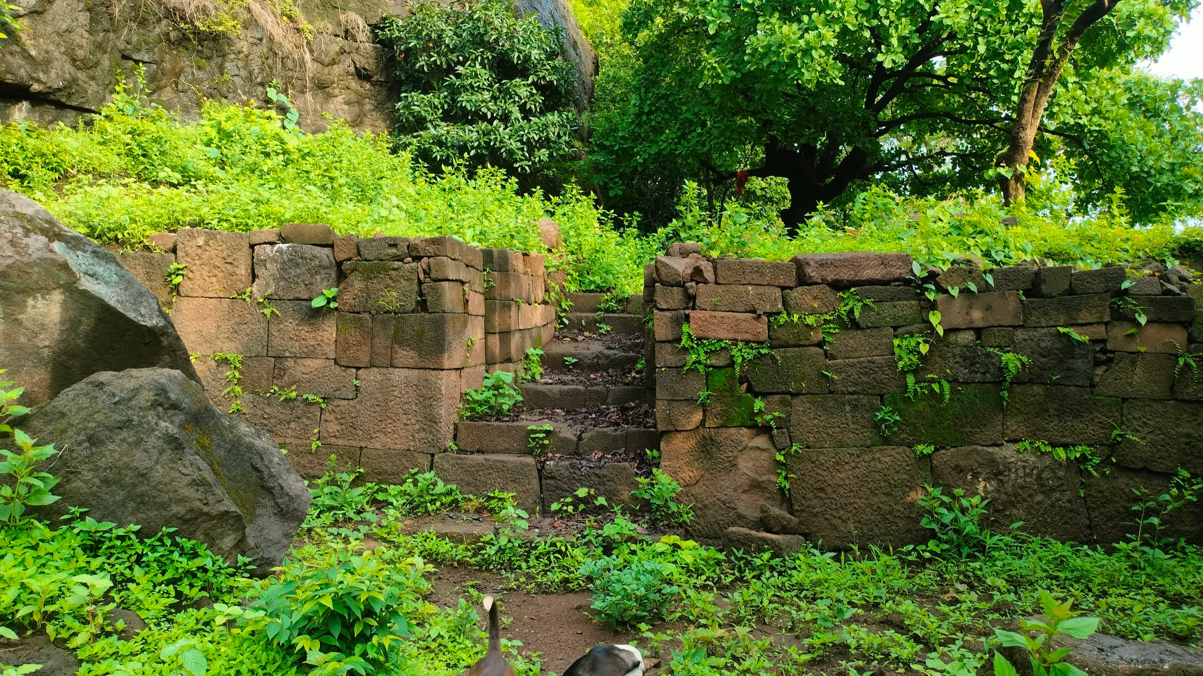
- Monsoon (June–September): rocks, exposed roots and wet leaves are slippery, especially on the rocky stretch between the first meadow and the streambed on the way down; streams can swell after heavy rain
- The path is faint inside the forest with side trails branching off; follow a GPX track and take a local guide if you do not know the route
- Check the flow before entering the waterfall pool and stay away from it in heavy rain or strong current; do not go near the Ransai Dam spillway
- Raigad district has issued monsoon prohibitory orders on waterfalls and dams at other sites in past years; no order naming Ransai was found, but check with Panvel police or the Karnala forest range office in the monsoon
- The viewpoint lies inside the proposed eco-sensitive zone of Karnala Bird Sanctuary (OpenStreetMap); Indiahikes says no permission is needed, but do not continue towards the Karnala pinnacle from the viewpoint, and leave no litter or noise
- Autorickshaws are rarely available in Ransai for the return; pre-book the return ride and keep the driver's number
- The approach road is narrow: buses and tempo travellers cannot pass and cars must go slowly
Know before you go
Questions
Where is the Ransai Forest Trail and how far is it from Mumbai?
Ransai is a village with a dam and forest in Panvel taluka, Raigad district, beside Karnala Bird Sanctuary. The trail starts about 7 km by road beyond the Karnala sanctuary gate, and Indiahikes puts it at roughly a 2.5-hour drive from Mumbai, depending on traffic.
Is the Ransai Forest Trail suitable for beginners and children?
Yes. It is an easy walk of about 7 km return that Indiahikes calls suitable for beginners and families. Some sections are uneven, muddy or slippery in the monsoon, so children and senior citizens should go at their own comfort level.
Do I need a permit or a guide for Ransai?
Indiahikes says no permission is required to visit Ransai or walk the forest trail. A guide is not needed for the village or dam, but a local guide is strongly advised on the forest trail, which is hard to follow; Indiahikes paid ₹300 per person in August 2026.
When is the best time to do the Ransai trail?
July to September for the greenest forest, flowing streams and the waterfall (with slippery rocks), and November to February for birdwatching, ideally from 6:30 to 9 am. Flower meadows appear around August and fade by late October.
How do I reach Ransai by public transport?
Take a local train to Panvel, exit on the west side and take an autorickshaw to the Zilla Parishad School in Ransai (about 45 minutes, around ₹75 per person in 2026). Ask the same driver to come back at a fixed time, because return transport from Ransai is hard to find.
In an emergency
Save these numbers before you lose signal. Tap to call.
- 112All emergenciesIndia’s single emergency number — works in every state
- 108Ambulance
- 1077District disaster control room
You are in
District: RaigadMaharashtra
- Nearest hospital
- Panvel, about 45 minutes by road
- Last ATM
- Panvel (no ATM reported in Ransai village)
- Phone network
- Unreliable inside the forest (Indiahikes); download the GPX track and offline map before starting
Before you set off
- Tell someone your route and when you will be back.
- Carry a charged phone and a power bank.
- Download an offline map of the route.
- Turn back if the weather turns bad — the mountain will wait.
Questions about Ransai Forest
No questions yet. Ask something and trekkers who have done it can answer.
Share your trek photo with #TreksAndTrails
I trekked this
Did Ransai Forest look different from this page? Tell us what changed and we will check it.
Where this comes from
Sources
Last reviewed:
Photos: Incredible Mother Earth, CC BY-SA 4.0; Dinesh Valke from Thane, India, CC BY-SA 2.0; Docpic, CC BY-SA 4.0