Peb Fort Trek
Raigad, Maharashtra
Opens without signal on this phone, with the map file and checklist. Saved for offline →
- Max altitude
- 640 m
- Days
- 1 day
- Distance
- 8 km
- Difficulty
- Moderate
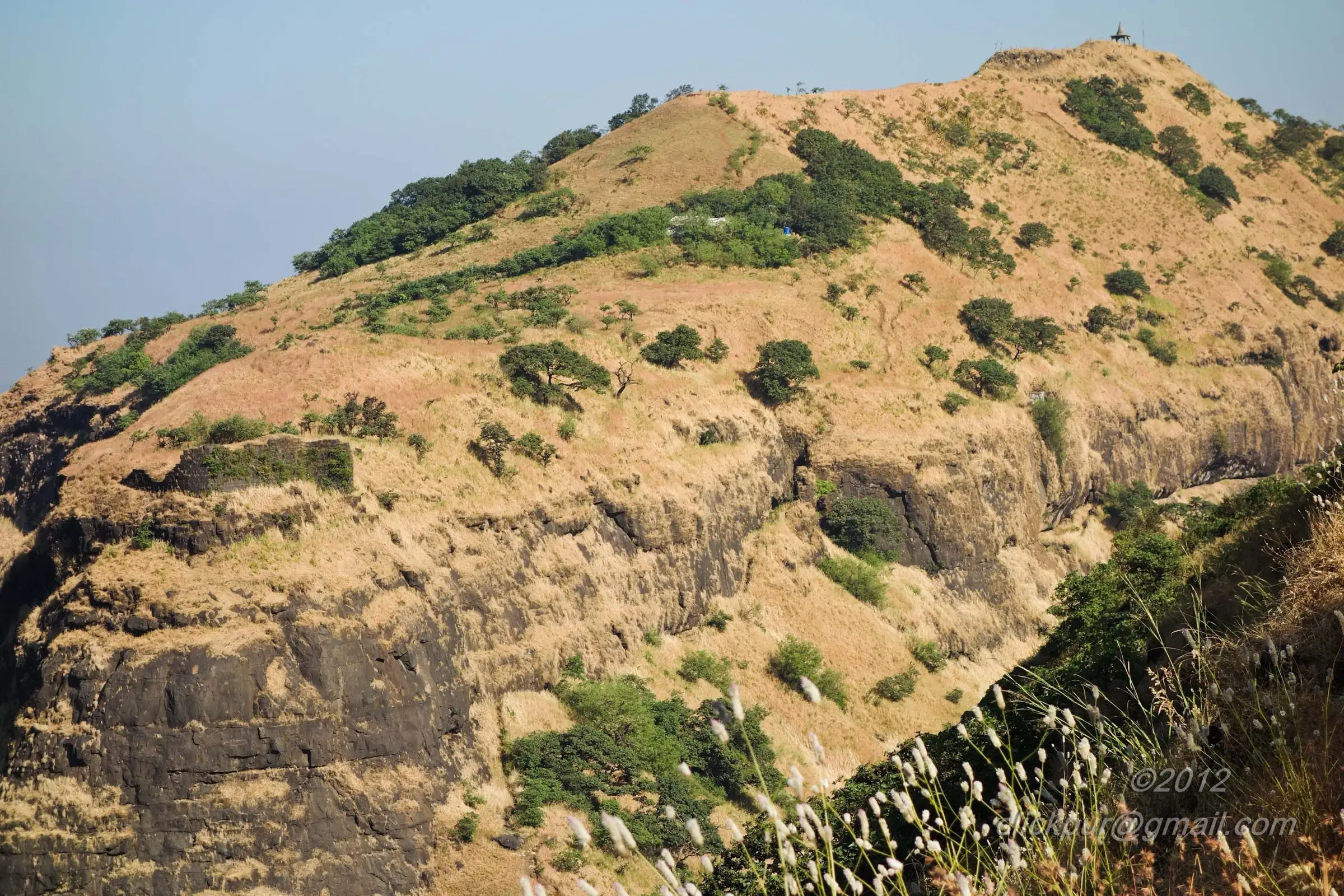
A steady climb of roughly 550-600 m from Anandwadi along the power-line ridge, then a 10 ft rock patch, a narrow traverse and steel ladders up the fort wall; wet rock and wobbly ladder rungs make it riskier in the monsoon.
Photos
On the trail
The route
Day by day
Day 1 · highest point
Anandwadi → Anandwadi (via Peb Fort top)
80 m → 640 m → 80 m
Ups and downs
Altitude profile
Where it is
Map
Trailhead and high point only — not a recorded track. Use it with a proper map.
Weather
Next 5 days on the trail
Live forecast for the trailhead and the high point. Mountain weather changes fast — check again on the morning you start.
Trailhead · Anandwadi (near Neral)
at 80 mLoading forecast…
High point · Peb Fort (Vikatgad) top, Datta paduka temple
at 640 mLoading forecast…
Each day: high / low °C · rain mm and chance · snow cm · wind km/h
Weather data: Open-Meteo.comModel forecast, not an official warning. For alerts follow IMD and the local administration.
Plan the trip
How to reach
- Trailhead
- Anandwadi (near Neral)
- Nearest railway
- Neral Junction (Central Railway suburban line, CSMT-Karjat locals)
- Nearest airport
- Chhatrapati Shivaji Maharaj International Airport, Mumbai (Pune airport is the other option)
- By road
- Neral station to Anandwadi, about 3 km on foot or by autorickshaw; Mumbai to Neral, about 80 km by road or local train; Pune to Neral, about 120 km via the Mumbai-Pune Expressway and Karjat; For the easier Matheran-side route: shared taxi from Neral up the Neral-Matheran road to the NM 134 marker on the toy-train line
- Drive
- About 2 h from Mumbai
Plan the trip
Permits and fees
We could not confirm the current permit rules and fees from an official source. Check with the local forest department or tourism office before you go.
Plan the trip
Cost
Self-guided
₹150–1,000
With an operator
₹999–1,399
Per person, ex-Neral. Guided prices published in 2026: Treks and Trails India (treksandtrails.org, not linked to this site) ₹999 from Neral station, with breakfast, the shared taxi back from the Matheran road and Matheran forest entry charges included, train fare not included; Adventure Club Pune ₹999 if you drive yourself or ₹1,399 with transport from Pune. Self-guided is an estimate: local train return to Neral, an autorickshaw to Anandwadi, snacks and water, and a share of a village guide's fee from Anandwadi if you take one.
Gear
Top picks for this trek
The gear that matters most on this route, chosen from its altitude, season and risks.
 Ad · affiliate link
 Ad · affiliate link
 Ad · affiliate link
 Ad · affiliate link
- Ad · affiliate link
 Ad · affiliate link
 Ad · affiliate link
 Ad · affiliate link
Store buttons open a search on that store, not a product we picked. As an Amazon Associate we earn from qualifying purchases. Photos show the kind of item, not a specific product. Affiliate disclosure
Packing checklist
Matched to this trek: altitude, season, days and the risks on the route.
Packed 0 of 21
Monsoon months (Jul–Sep): pack everything in plastic or a dry bag and wear shoes with good grip.
Tick each item as it goes in the bag.
Know before you go
Good to know
- Mobile network
- Indiahikes reports signal from Airtel, Vodafone and Jio throughout the trek.
- Last ATM
- Neral (Matheran also has ATMs, per Indiahikes); carry cash.
- Nearest hospital
- Not confirmed by our sources; the nearest larger hospitals are in Neral and Karjat, so carry a first-aid kit.
- Water
- There are no stalls on the fort. The fort has many rock-cut cisterns, but Indiahikes says most water is not drinkable; Wikipedia notes one small cistern on the eastern ridge holds drinking water all year. Carry 2-3 litres and treat any water you collect.
Highlights
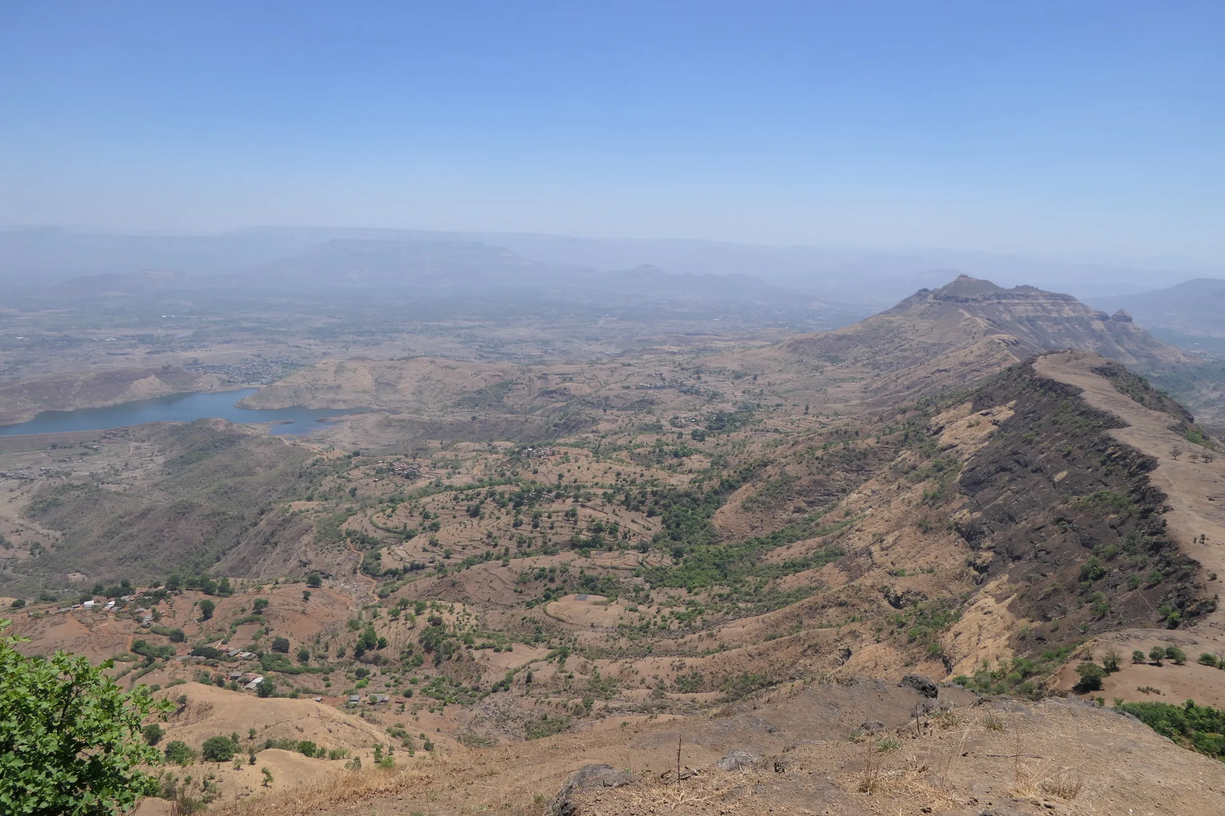
- A 360° view from the Datta paduka temple at the top over the whole Matheran range, Chanderi, Nakhind, Malanggad, Prabalgad, Kalavantin and Irshalgad
- Kadyavarcha Ganpati, a cliffside shrine of Shri Ganesh in a rock cave on the route
- Rock-cut caves and narrow meditation chambers, once used as granaries in the Maratha period, now cared for by disciples of Swami Samarth
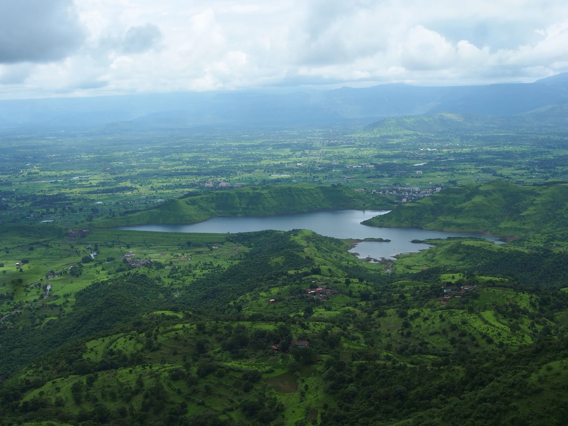
- Monsoon waterfalls at Anandwadi and along the Neral-Matheran road, and yellow flowers on the slopes after the rains
- The ridge that links Peb to the Matheran plateau, with the option of walking on along the toy-train line
Risks
- Steel ladders on the fort wall and on the Matheran side are steep and some rungs are loose or wobble; climb one at a time and keep a gap from the person above.
- A 10 ft rock patch and a narrow traverse along the scarp are exposed and very slippery when wet; operators warn of falling rocks here.
- In the monsoon the whole route is slippery; Hindustan Times reported a 2017 rescue of two Mumbai trekkers after a 200 ft fall in this area.
- Branching village and cattle paths on the Anandwadi side can mislead first-timers; hire a guide in Anandwadi or follow the marked route.
- District collectors in the Mumbai-Pune belt often issue monsoon prohibitory orders on forts and waterfalls during heavy-rain alerts; check current Raigad district notices before a June-September visit.
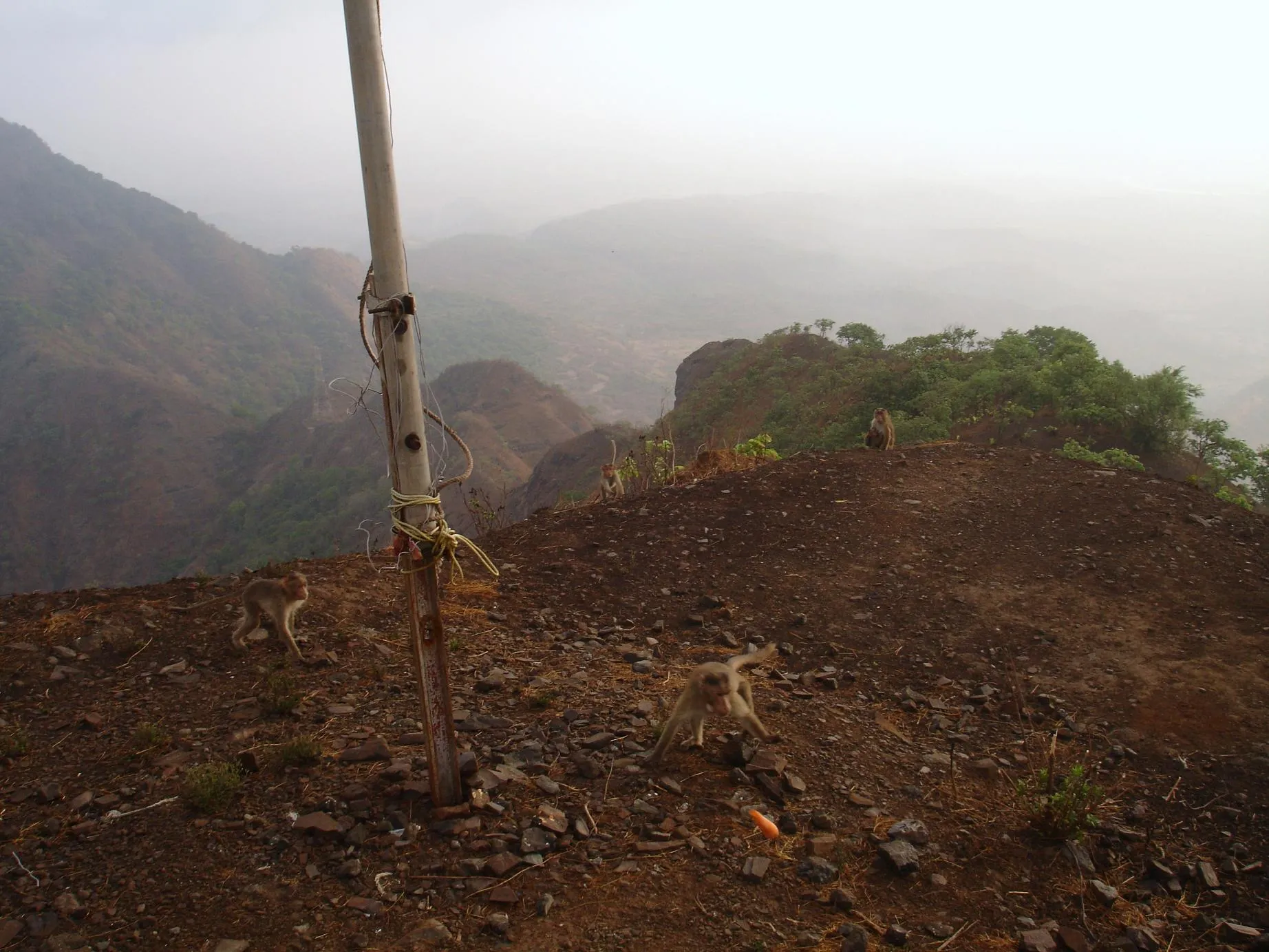
- Monkeys near the top snatch food; keep bags closed.
Know before you go
Questions
How difficult is the Peb Fort trek?
Indiahikes rates it moderate and doable by a fit beginner. The Anandwadi route is longer and steeper, with a 10 ft rock patch and ladders; the Matheran toy-train-line route from NM 134 is easier, though the ladders there scare some beginners, especially in the monsoon.
How long does the Peb Fort trek take?
About 3 hours up from Anandwadi (about 2 hours to the ridge, then an hour past the rock patch and ladders). From the NM 134 marker on the Matheran railway line it is about 2 hours. Operators plan a full day from Mumbai.
How do I reach the Peb Fort base village?
Take a Karjat local to Neral, then walk about 3 km or take an autorickshaw to Anandwadi. For the Matheran-side route, take a shared taxi from Neral towards Matheran and get off at the NM 134 marker on the toy-train line.
Do I need a permit for Peb Fort?
Indiahikes says no permission is needed to climb the fort. Routes through the Matheran side may involve Matheran forest entry charges, which one operator includes in its price. We could not find a current official fee table, so check locally.
Can I camp or stay overnight on Peb Fort?
Older guides (Indiahikes, Wikipedia) describe nights in the cave or at the Datta temple and ashram on top. One operator says in 2026 that the forest department does not permit camping on the Vikatgad route, so ask locally before planning a night there.
How many routes lead to Peb Fort?
Five routes meet on top: Panvel-Maldunge; Neral-Anandwadi; Neral via the NM 134 and NM 157 markers on the Matheran toy-train line; Vaghachi Wadi; and Vangani-Nakhind-Peb-Matheran.
In an emergency
Save these numbers before you lose signal. Tap to call.
- 112All emergenciesIndia’s single emergency number — works in every state
- 108Ambulance
- 1077District disaster control room
You are in
District: RaigadMaharashtra
- Nearest hospital
- Not confirmed by our sources; the nearest larger hospitals are in Neral and Karjat, so carry a first-aid kit.
- Last ATM
- Neral (Matheran also has ATMs, per Indiahikes); carry cash.
- Phone network
- Indiahikes reports signal from Airtel, Vodafone and Jio throughout the trek.
Before you set off
- Tell someone your route and when you will be back.
- Carry a charged phone and a power bank.
- Download an offline map of the route.
- Turn back if the weather turns bad — the mountain will wait.
Questions about Peb Fort
No questions yet. Ask something and trekkers who have done it can answer.
Share your trek photo with #TreksAndTrails
I trekked this
Did Peb Fort look different from this page? Tell us what changed and we will check it.
Where this comes from
Sources
Last reviewed:
- Peb fort - The most versatile fort in Maharastra — Indiahikes
- Peb Fort Trek near Matheran | Adventure Trek from Mumbai — Treks and Trails India (treksandtrails.org)
- Vikatgad — Wikipedia
- Peb fort trek — The Freebird (trip report)
- Vikatgad / Peb Fort Trek From Pune — Adventure Club Pune
- Vikatgad — Durgbharari
Photos: Udaykumar PR, CC BY 3.0; Ccmarathe, CC BY-SA 4.0; Rohan Patil, CC BY-SA 3.0; Ccmarathe, CC BY-SA 4.0