Diksal Waterfall Trek
Raigad (Karjat taluka), Maharashtra
Opens without signal on this phone, with the map file and checklist. Saved for offline →
- Max altitude
- 130 m
- Days
- 1 day
- Distance
- 6 km
- Difficulty
- Easy
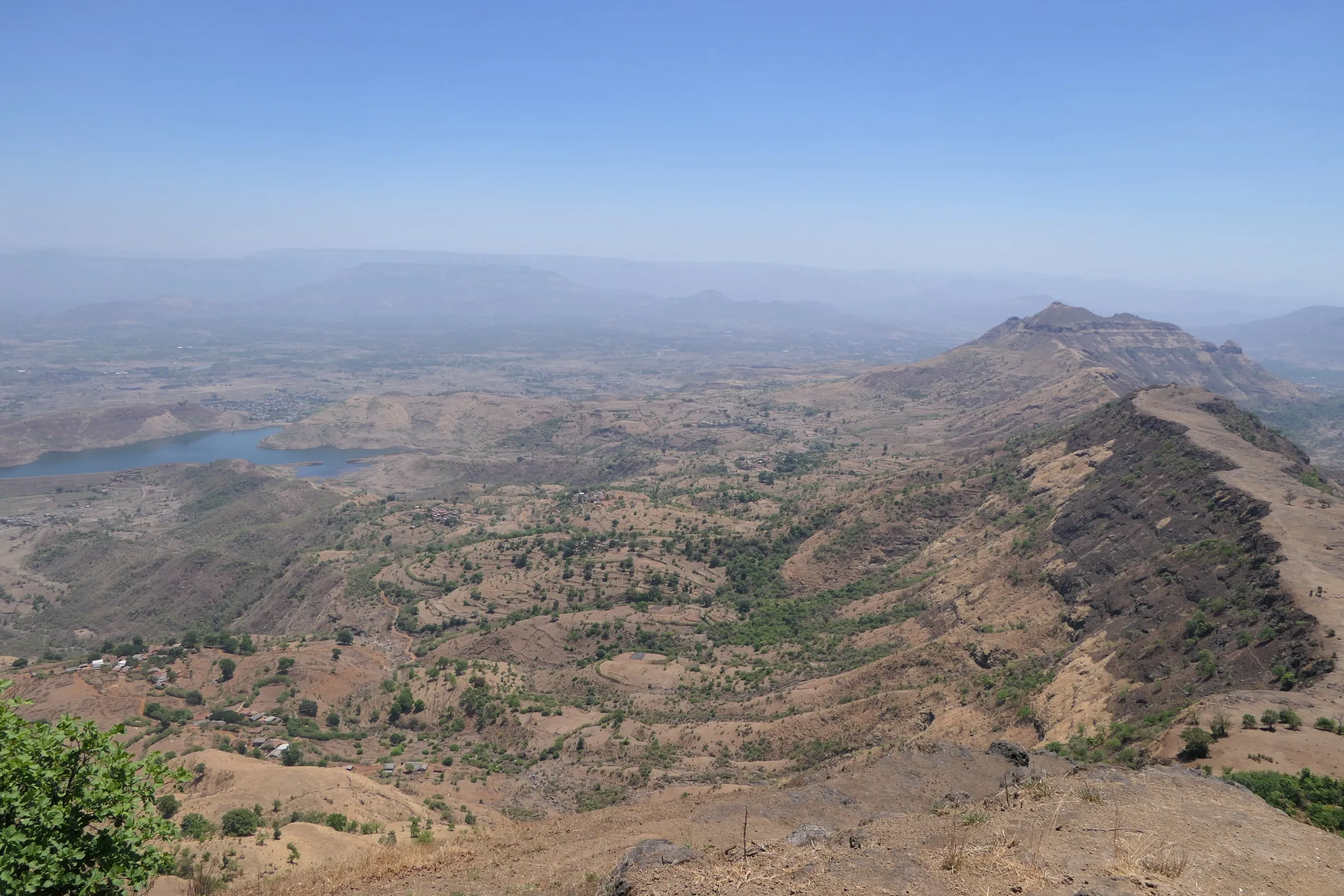
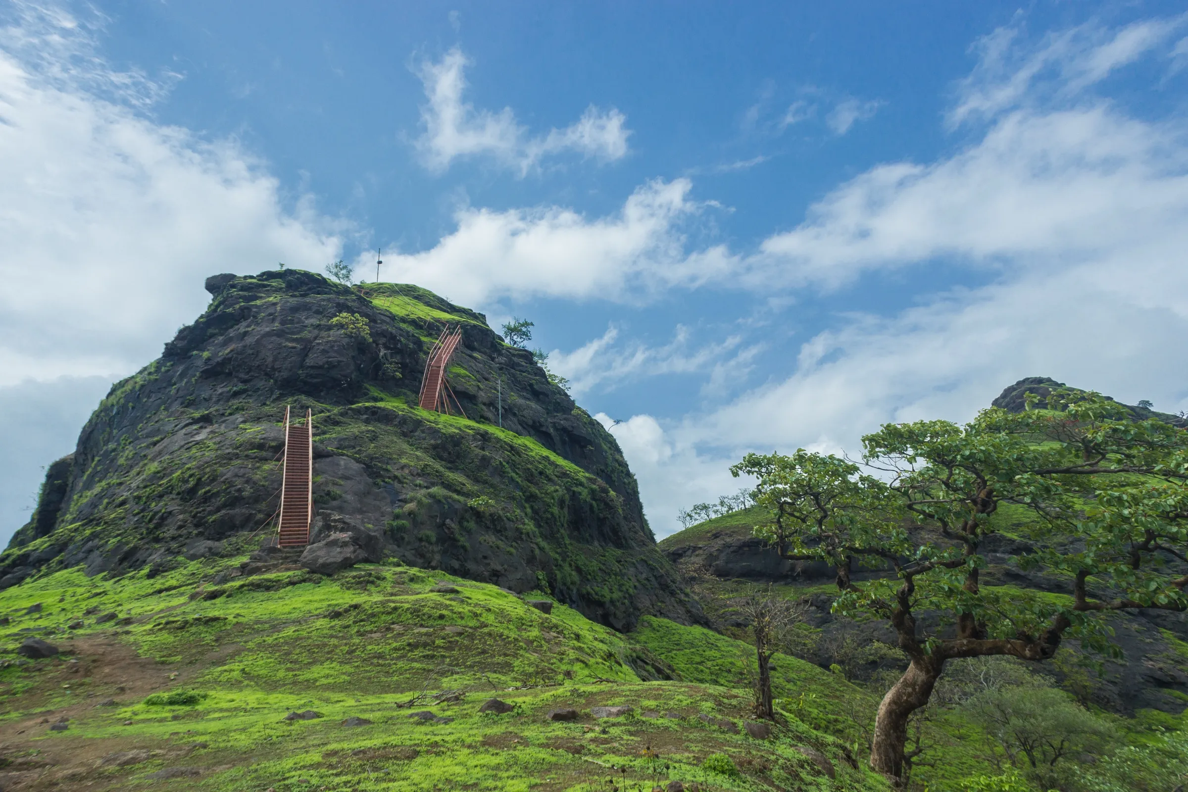
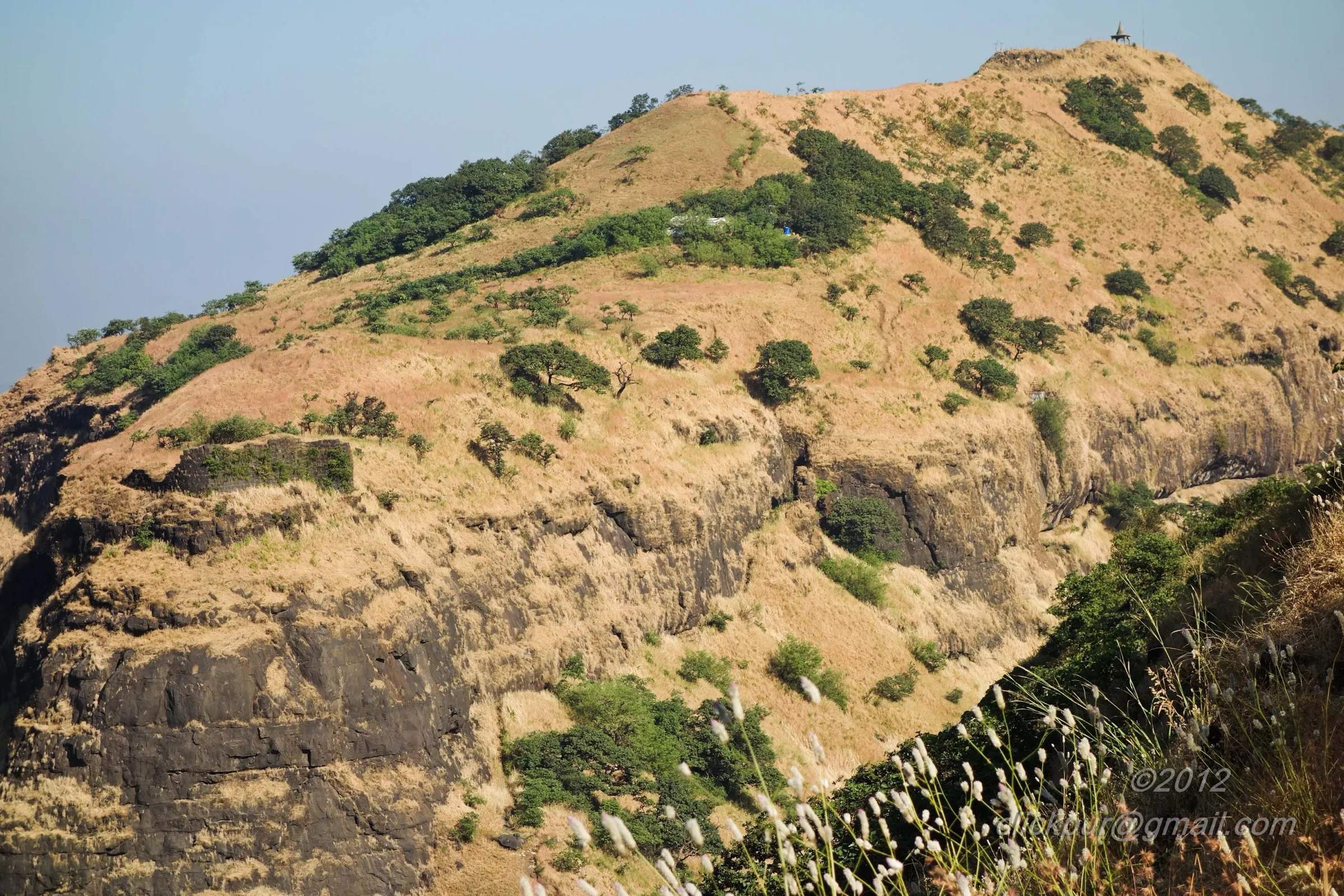
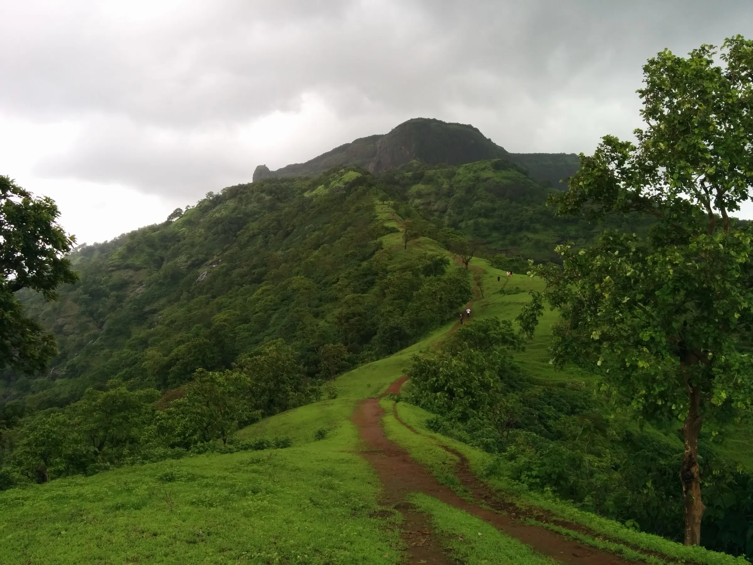
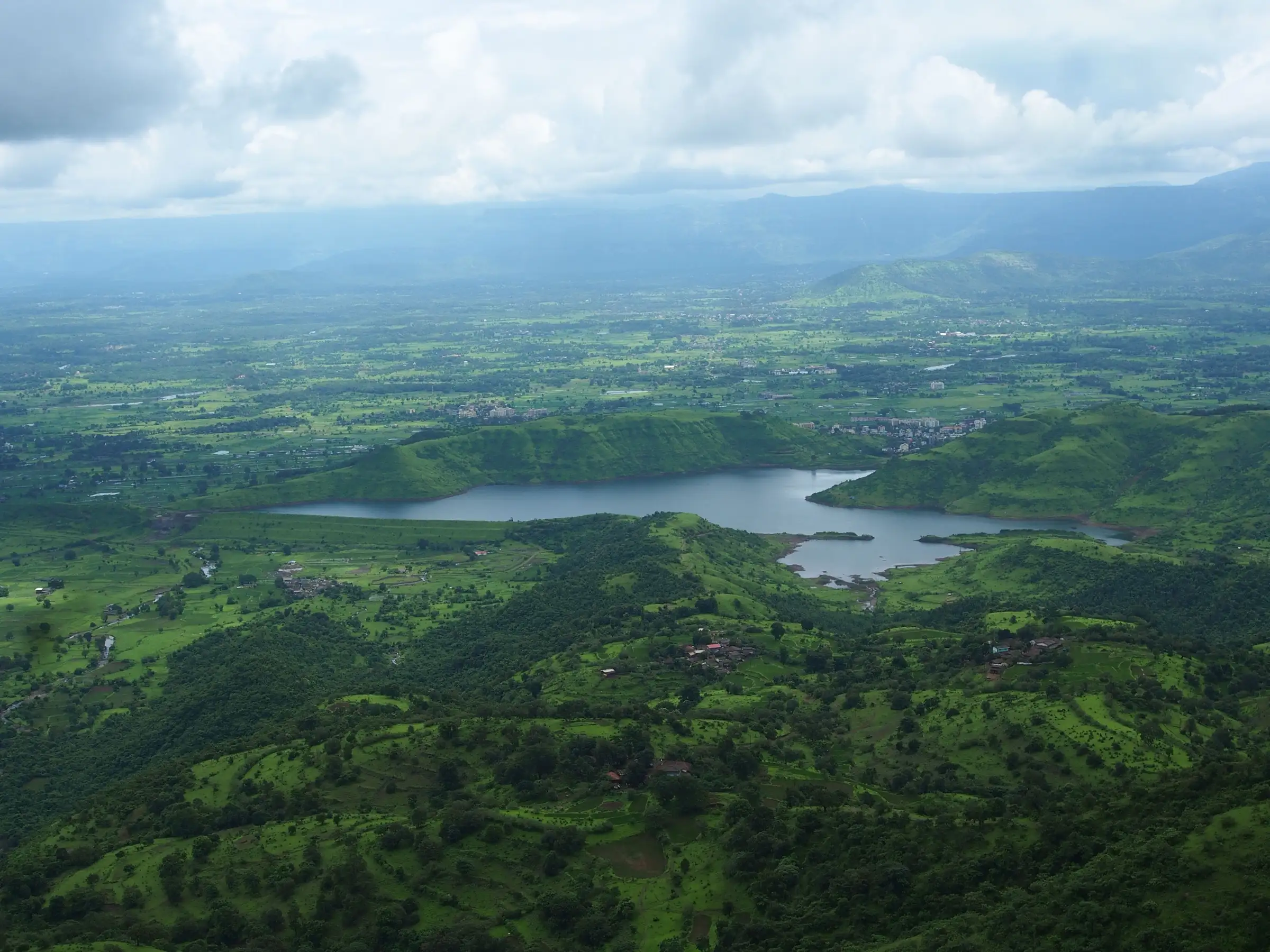
Easy: a short, mostly flat village and field walk of about 1 to 1.5 hours each way from Bhivpuri Road station, beside the Dhom (Bhivpuri) lake and across a small stream, with very little climbing. The rocks at the stream and the fall are slippery in the rain.
Photos
On the trail
The route
Day by day
Day 1 · highest point
Bhivpuri Road railway station → Diksal waterfall and back to Bhivpuri Road
50 m → 130 m → 50 m
Ups and downs
Altitude profile
Where it is
Map
Trailhead and high point only — not a recorded track. Use it with a proper map.
Weather
Next 5 days on the trail
Live forecast for the trailhead and the high point. Mountain weather changes fast — check again on the morning you start.
Trailhead · Bhivpuri Road railway station
at 50 mLoading forecast…
High point · Base of Diksal waterfall, below Sagachiwadi (approximate: unnamed waterfall on OpenStreetMap beside the Sagachiwadi path)
at 130 mLoading forecast…
Each day: high / low °C · rain mm and chance · snow cm · wind km/h
Weather data: Open-Meteo.comModel forecast, not an official warning. For alerts follow IMD and the local administration.
Plan the trip
How to reach
- Trailhead
- Bhivpuri Road railway station (nearest town: Karjat)
- Nearest railway
- Bhivpuri Road (Central Railway, CSMT-Karjat suburban line)
- Nearest airport
- Chhatrapati Shivaji Maharaj International Airport, Mumbai
- By road
- Mumbai (about 85 km by road to Bhivpuri; the operator's 05:46 CSMT-Karjat local reaches Bhivpuri Road at 07:34); Pune (about 110 km, around 3 hours by road via Karjat)
- Drive
- About 2.5 h from Mumbai
Plan the trip
Permits and fees
We could not confirm the current permit rules and fees from an official source. Check with the local forest department or tourism office before you go.
Plan the trip
Cost
Self-guided
₹150–500
With an operator
₹899–1,299
Per person, ex-Mumbai (Bhivpuri Road station). Guided: Treks and Trails India lists ₹899 without transport (breakfast, trek leader and guide included); its older listings quoted ₹799 without and ₹1,299 with AC bus from Mumbai. Only one operator found, so treat the range as indicative. Self-guided is our estimate: return suburban train fare from Mumbai, breakfast and snacks at Bhivpuri; no entry fee is known to us.
Gear
Top picks for this trek
The gear that matters most on this route, chosen from its altitude, season and risks.
 Ad · affiliate link
 Ad · affiliate link
 Ad · affiliate link
 Ad · affiliate link
- Ad · affiliate link
 Ad · affiliate link
 Ad · affiliate link
 Ad · affiliate link
Store buttons open a search on that store, not a product we picked. As an Amazon Associate we earn from qualifying purchases. Photos show the kind of item, not a specific product. Affiliate disclosure
Packing checklist
Matched to this trek: altitude, season, days and the risks on the route.
Packed 0 of 22
Monsoon months (Jun–Sep): pack everything in plastic or a dry bag and wear shoes with good grip.
Tick each item as it goes in the bag.
Know before you go
Good to know
- Mobile network
- Not confirmed; the walk stays close to Bhivpuri and Diksal villages, so some signal is likely. Carry a charged phone in a waterproof bag.
- Last ATM
- Karjat or Neral; carry cash for breakfast and snacks at Bhivpuri
- Nearest hospital
- Raigad Hospital & Research Centre at Diksal, next to Bhivpuri Road station; Karjat for wider care, Panvel or Mumbai for serious cases
- Water
- No food or drinking water at the waterfall (operator). Buy water at Bhivpuri and carry 2-3 litres.
Highlights
- A seasonal fall of about 115 ft (operator figure) in the green foothills of the Matheran range near Bhivpuri
- Reached by local train: the walk starts at Bhivpuri Road station, about two hours from CSMT
- An easy trail beside the Dhom (Bhivpuri) lake and across a small stream, suited to first-timers and families
- The fall lies below Sagachiwadi village, the same approach used for the longer Garbett Plateau trek, so fit walkers can combine the two
Risks
- Monsoon: the stream crossing and the rock around the fall are very slippery, and water levels can rise quickly after heavy rain. Do not cross a stream in spate and do not stand in the fall's flow.
- Bans: we found no formal order naming Diksal (searched October 2026). Raigad and neighbouring districts issue monsoon prohibitory orders at waterfalls and picnic spots in some years (for example Devkund and Tamhini, 17 June to 30 September 2025), and in July 2026 tourists had to be rescued from the Adoshi waterfall near Khopoli after a sudden rise in water. Check Karjat police or local news before a monsoon visit.
- The fall is seasonal: the operator says it dries up outside the rains, so a visit after October is a walk to a dry rock face.
- Weekend monsoon crowds at Bhivpuri; leave early and keep to the path through fields and village land.
- Rappelling at the fall is offered by operators as a separate activity; do it only with a qualified team and proper gear.
Know before you go
Questions
Where is Diksal waterfall and how do I get there by train?
It is near Bhivpuri in the Karjat area of Raigad district, below Sagachiwadi village. Take a CSMT-Karjat local to Bhivpuri Road station; from there it is about an hour's walk to the fall, beside the Dhom (Bhivpuri) lake and across a small stream.
How difficult is the Diksal waterfall trek?
Easy. Treks and Trails India grades it easy and suitable for all age groups, with about 1 to 1.5 hours of walking each way and a gentle gradient. Wear shoes with good grip, because the stream and the rocks near the fall are slippery.
What is the best time to visit Diksal waterfall?
The monsoon, June to September, when the fall runs full and the hills are green. The fall is seasonal and dries up after the rains.
How tall is Diksal waterfall?
Treks and Trails India gives about 115 feet (about 35 m). We have not found an independent measurement.
Is food or water available at the waterfall?
No. Breakfast and snacks are sold at Bhivpuri near the station, but there is nothing at the fall, so carry 2-3 litres of water and a packed lunch.
Can I combine Diksal waterfall with the Garbett Plateau trek?
Yes. The Garbett Plateau route climbs through Sagachiwadi, just above the fall, so experienced walkers sometimes visit the fall on the way. The full Garbett traverse to Matheran is a much longer and harder day.
In an emergency
Save these numbers before you lose signal. Tap to call.
- 112All emergenciesIndia’s single emergency number — works in every state
- 108Ambulance
- 1077District disaster control room
You are in
District: Raigad (Karjat taluka)Maharashtra
- Nearest hospital
- Raigad Hospital & Research Centre at Diksal, next to Bhivpuri Road station; Karjat for wider care, Panvel or Mumbai for serious cases
- Last ATM
- Karjat or Neral; carry cash for breakfast and snacks at Bhivpuri
- Phone network
- Not confirmed; the walk stays close to Bhivpuri and Diksal villages, so some signal is likely. Carry a charged phone in a waterproof bag.
Before you set off
- Tell someone your route and when you will be back.
- Carry a charged phone and a power bank.
- Download an offline map of the route.
- Turn back if the weather turns bad — the mountain will wait.
Questions about Diksal Waterfall
No questions yet. Ask something and trekkers who have done it can answer.
Share your trek photo with #TreksAndTrails
I trekked this
Did Diksal Waterfall look different from this page? Tell us what changed and we will check it.
Where this comes from
Sources
Last reviewed:
- Diksal Waterfall Trek near Bhivpuri & Karjat | Easy Monsoon Trek from Mumbai — Treks and Trails India (treksandtrails.org)
Photos: Pradeep717, CC BY-SA 4.0; Pratishkhedekar, CC BY-SA 4.0