Nakhind Trek
Raigad (summit ridge, Panvel taluka per OpenStreetMap), on the Thane district border near Vangani, Maharashtra
Opens without signal on this phone, with the map file and checklist. Saved for offline →
- Max altitude
- 703 m
- Days
- 1 day
- Distance
- 7.4 km
- Difficulty
- Moderate
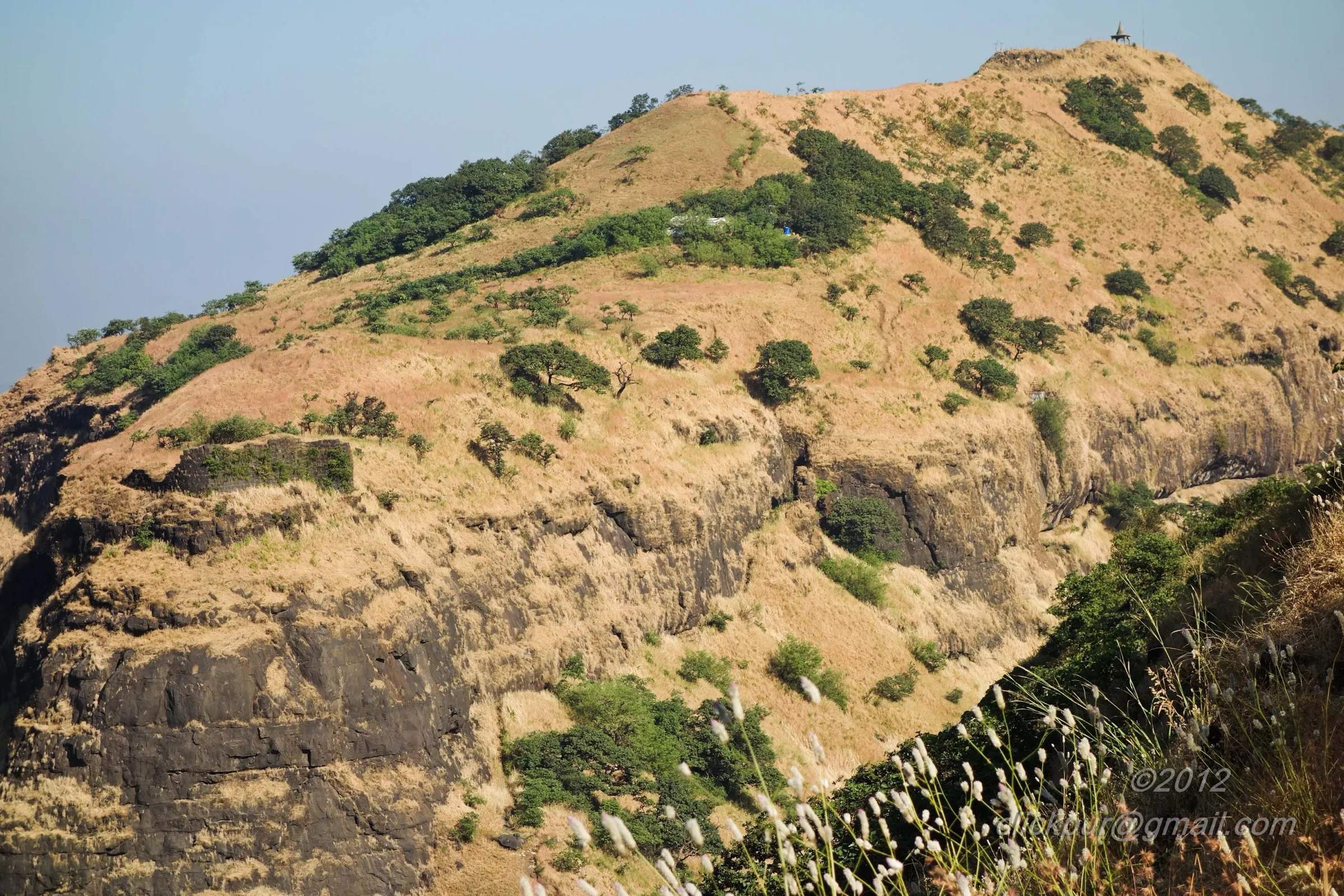
A climb of roughly 600 m from Bedis through forest to the plateau hamlet of Vaghinichi Wadi and on up a narrow forested ridge. One operator rates it medium; two trip reports call the climb steep, with narrow paths and sliding slopes on the way down, and one says it is not for beginners.
Photos
On the trail
The route
Day by day
Day 1 · highest point
Bedis → Bedis (via Vaghinichi Wadi and the Nakhind ridge top)
70 m → 703 m → 70 m
Ups and downs
Altitude profile
Where it is
Map
Trailhead and high point only — not a recorded track. Use it with a proper map.
Weather
Next 5 days on the trail
Live forecast for the trailhead and the high point. Mountain weather changes fast — check again on the morning you start.
Trailhead · Bedis (Bedisgaon), near Vangani
at 70 mLoading forecast…
High point · Highest point of the Nakhind ridge
at 703 mLoading forecast…
Each day: high / low °C · rain mm and chance · snow cm · wind km/h
Weather data: Open-Meteo.comModel forecast, not an official warning. For alerts follow IMD and the local administration.
Plan the trip
How to reach
- Trailhead
- Bedis (Bedisgaon), near Vangani
- Nearest railway
- Vangani (Central Railway suburban line, CSMT-Karjat locals)
- Nearest airport
- Chhatrapati Shivaji Maharaj International Airport, Mumbai
- By road
- Vangani station to Bedis, about 4-5 km by autorickshaw or local vehicle; Mumbai CSMT to Vangani, about 1.5 hours by Karjat slow local; Pune to Vangani via the Mumbai-Pune Expressway and Karjat-Badlapur road
- Drive
- About 2 h from Mumbai
Plan the trip
Permits and fees
We could not confirm the current permit rules and fees from an official source. Check with the local forest department or tourism office before you go.
Plan the trip
Cost
Self-guided
₹150–600
With an operator
₹899
Per person, ex-Vangani. Only one operator publishes a Nakhind price: Treks and Trails India (treksandtrails.org, not linked to this site) lists ₹899 with breakfast, the local vehicle from Vangani station to the base and back, and the trek leader; train fare to Vangani is not included. Self-guided is our estimate: local train return to Vangani, a shared or hired autorickshaw to Bedis, food and water, and a tip if a villager shows you the start of the trail.
Gear
Top picks for this trek
The gear that matters most on this route, chosen from its altitude, season and risks.
 Ad · affiliate link
 Ad · affiliate link
 Ad · affiliate link
 Ad · affiliate link
- Ad · affiliate link
 Ad · affiliate link
 Ad · affiliate link
 Ad · affiliate link
Store buttons open a search on that store, not a product we picked. As an Amazon Associate we earn from qualifying purchases. Photos show the kind of item, not a specific product. Affiliate disclosure
Packing checklist
Matched to this trek: altitude, season, days and the risks on the route.
Packed 0 of 20
Monsoon months (Jul–Sep): pack everything in plastic or a dry bag and wear shoes with good grip.
Tick each item as it goes in the bag.
Know before you go
Good to know
- Mobile network
- Not confirmed by our sources; expect patchy signal on the forested ridge.
- Last ATM
- Not confirmed by our sources; Vangani and Badlapur are the nearest towns, so carry cash from there.
- Nearest hospital
- Not confirmed by our sources; the nearest larger hospitals are in Badlapur and Karjat. Carry a first-aid kit.
- Water
- No source mentions water on the trail. The operator tells trekkers to carry 2-3 litres and a packed lunch.
Highlights
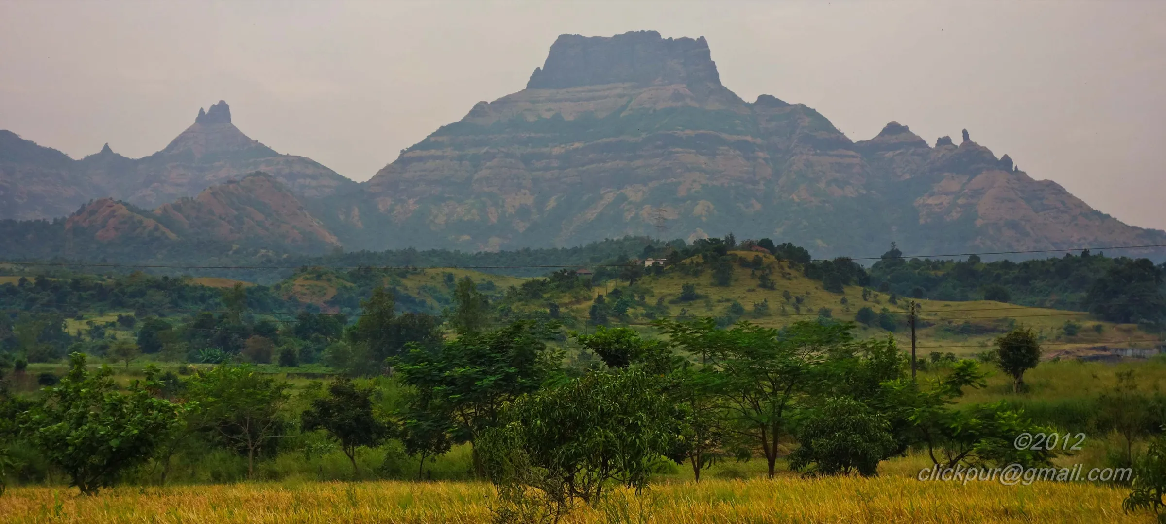
- The 'nedhe' (nose-hole), a natural opening eroded through the rock near the top that gives Nakhind its nose-like name
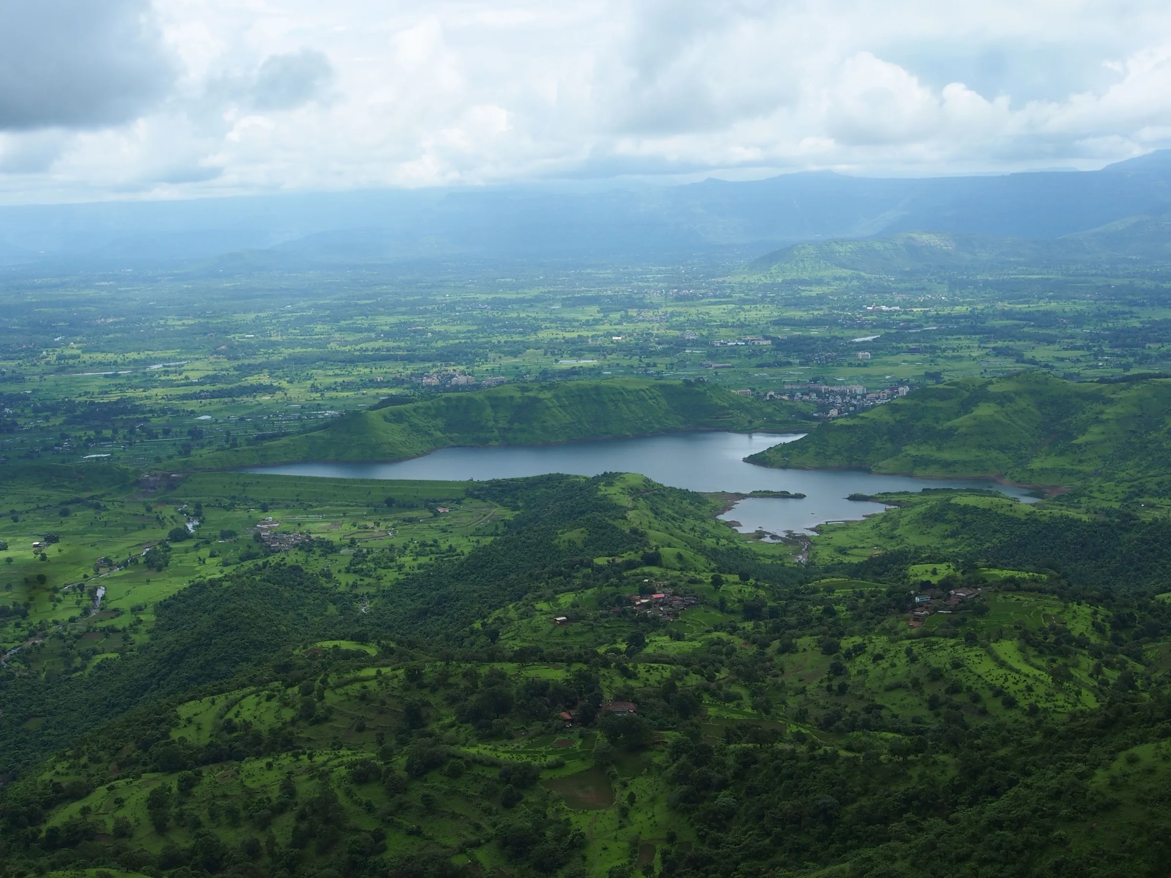
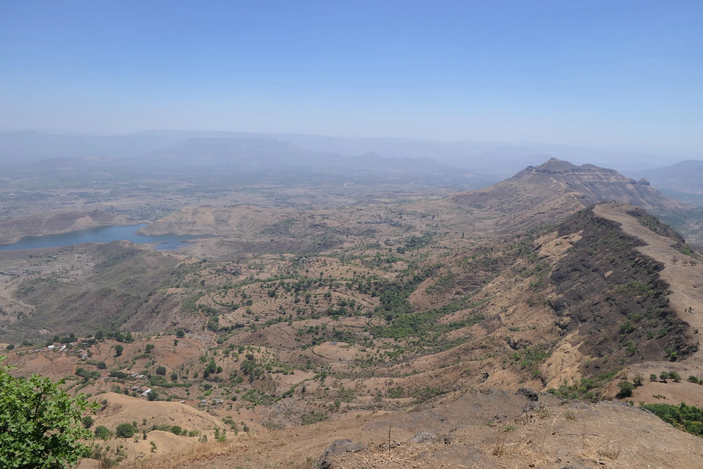
- A narrow forested ridge running north-south, with views of Chanderi pinnacle, Matheran, Peb (Vikatgad), Irshalgad and Prabalgad
- Dense forest on the climb from Bedis and the small plateau hamlet of Vaghinichi Wadi
- A small cave about 20 minutes from the top, described in one trip report
- Reachable in a day by local train from Mumbai, with the station only 4-5 km from the base
Risks
- Narrow paths and steep, sliding slopes, especially on the descent; one trekker found it harder than its 'easy' reputation and advises against it for beginners.
- In the monsoon the forest trail and rock near the nedhe are very slippery; trip reports say rain makes the climb much harder.
- Trails branch above Vaghinichi Wadi; ask a villager for the start of the route or go with a group that knows it.
- District collectors in the Mumbai-Pune belt often issue monsoon prohibitory orders on forts, hills and waterfalls during heavy-rain alerts; check current Thane and Raigad district notices before a June-September visit.
- Summer sun, thorns and insects: the operator advises full sleeves and full-length trousers.
Know before you go
Questions
How difficult is the Nakhind trek?
Treks and Trails India rates it medium. Two Tripoto trip reports describe a steep climb through forest with narrow paths and sliding slopes on the descent, and one writer says it is not an easy trek and not for beginners.
How do I reach the Nakhind base village from Mumbai?
Take a Karjat slow local from CSMT to Vangani (about 1.5 hours). The base village, Bedis, is about 4-5 km from Vangani station by autorickshaw or local vehicle.
How long does the Nakhind trek take?
About 2-3 hours up and about 2 hours down, per trip reports. Treks and Trails India plans about 3 hours to the top, an hour there, and 2.5 hours down, so a full day from Mumbai.
What is the 'nedhe' on Nakhind?
It is a natural cavity or hole through the rock near the top, formed by erosion. Locals and trekkers call it the nedhe or nose-hole, and the hill is said to look like a nose, which is where the name Nakhind comes from.
How high is Nakhind?
Trip reports give about 703-705 m. The Fastest Known Time route description for the Matheran range lists Nakhind point at 676 m, and its GPS track tops out at about 680 m on the ridge.
In an emergency
Save these numbers before you lose signal. Tap to call.
- 112All emergenciesIndia’s single emergency number — works in every state
- 108Ambulance
- 1077District disaster control room
You are in
District: Raigad (summit ridge, Panvel taluka per OpenStreetMap), on the Thane district border near VanganiMaharashtra
- Nearest hospital
- Not confirmed by our sources; the nearest larger hospitals are in Badlapur and Karjat. Carry a first-aid kit.
- Last ATM
- Not confirmed by our sources; Vangani and Badlapur are the nearest towns, so carry cash from there.
- Phone network
- Not confirmed by our sources; expect patchy signal on the forested ridge.
Before you set off
- Tell someone your route and when you will be back.
- Carry a charged phone and a power bank.
- Download an offline map of the route.
- Turn back if the weather turns bad — the mountain will wait.
Questions about Nakhind
No questions yet. Ask something and trekkers who have done it can answer.
Share your trek photo with #TreksAndTrails
I trekked this
Did Nakhind look different from this page? Tell us what changed and we will check it.
Where this comes from
Sources
Last reviewed:
- Nakhind Trek | Treks and Trails India — Treks and Trails India (treksandtrails.org)
- Trek To Nakhind Hill — Tripoto trip report (Altafuddin Sk)
- Trek-Nakhind (mountain with a hole-like a needle) — Tripoto trip report (Gauri Argade)
- Route: Matheran Range (Kalavantin Durg to Nakhind) — Fastest Known Time (route by Roshan Surve)
Photos: Rohan Patil, CC BY-SA 3.0; Dinesh Valke from Thane, India, CC BY-SA 2.0; Dinesh Valke from Thane, India, CC BY-SA 2.0