Nandigunda Trek
Kodagu, Karnataka
Opens without signal on this phone, with the map file and checklist. Saved for offline →
- Max altitude
- 800 m
- Days
- 1 day
- Distance
- 8 km
- Difficulty
- Easy
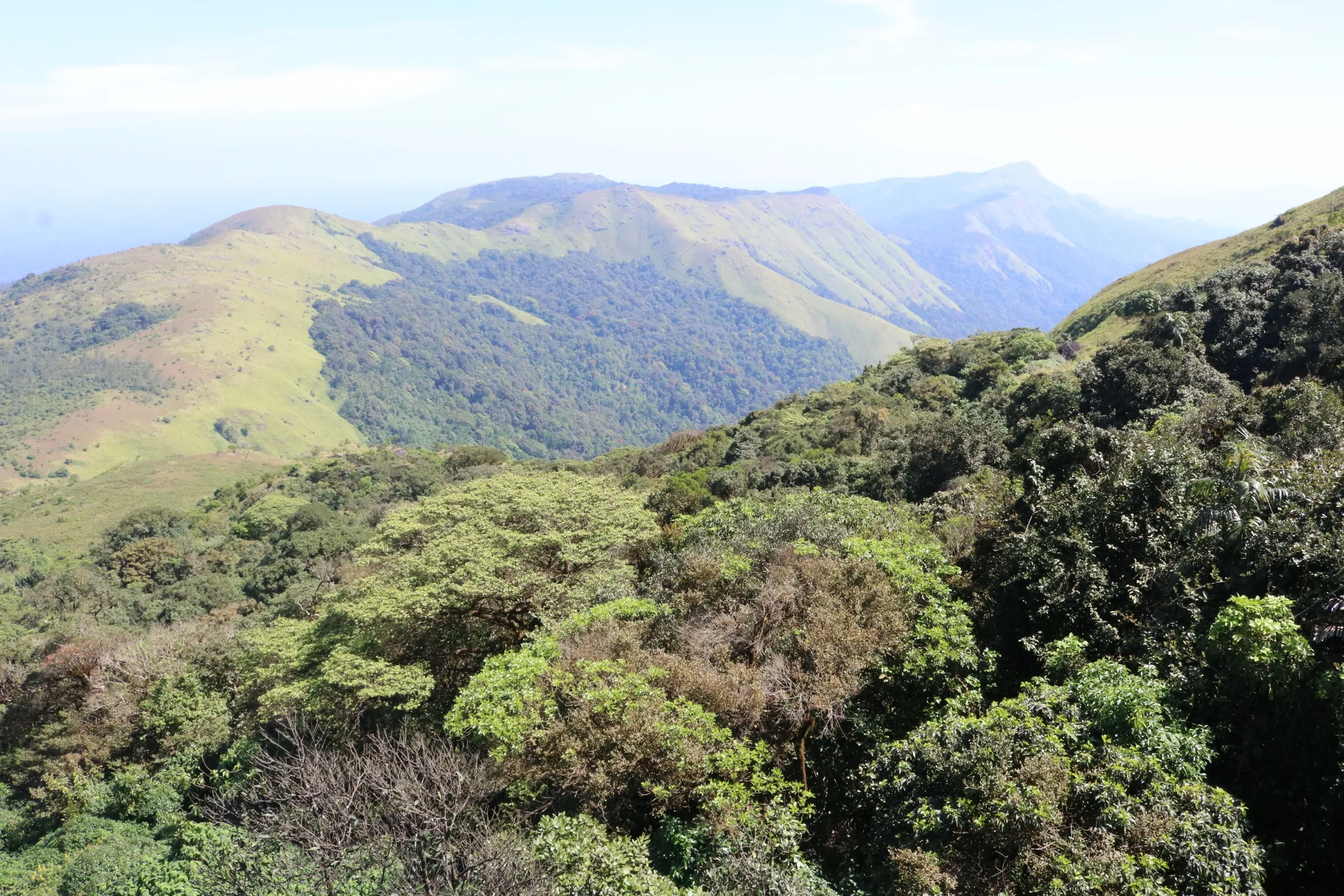
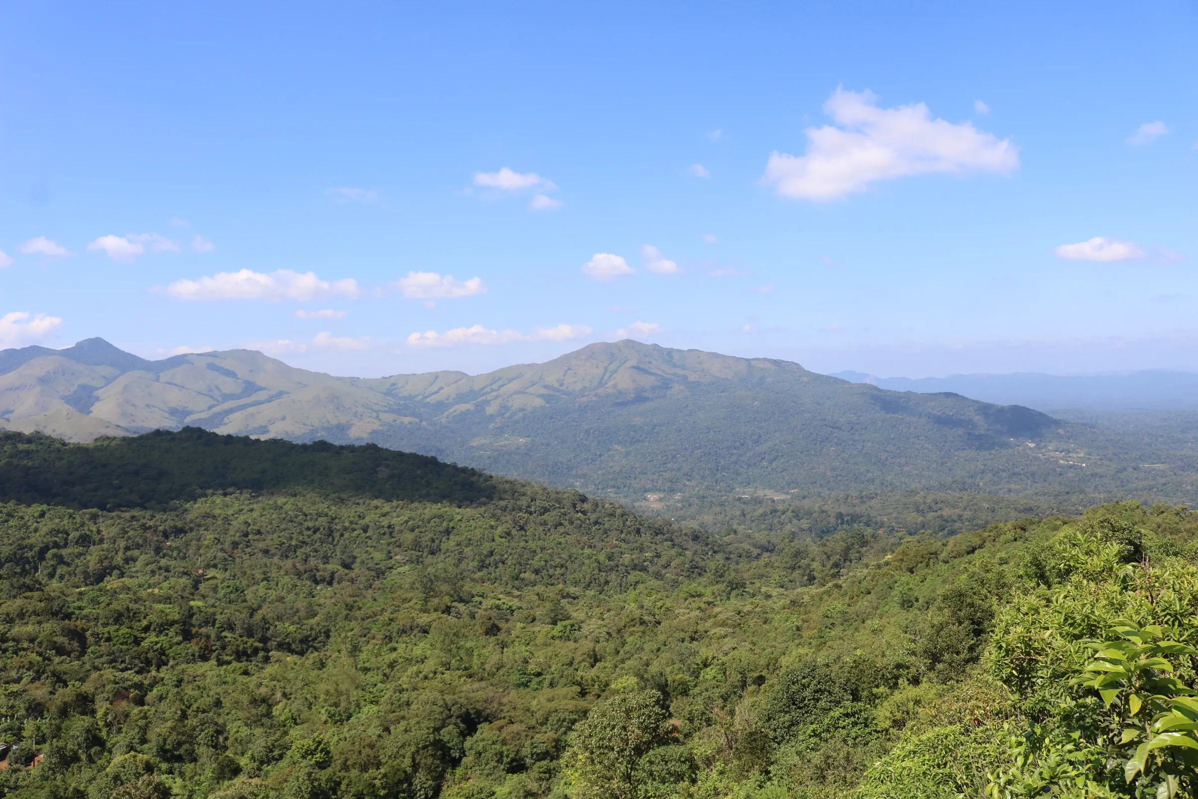
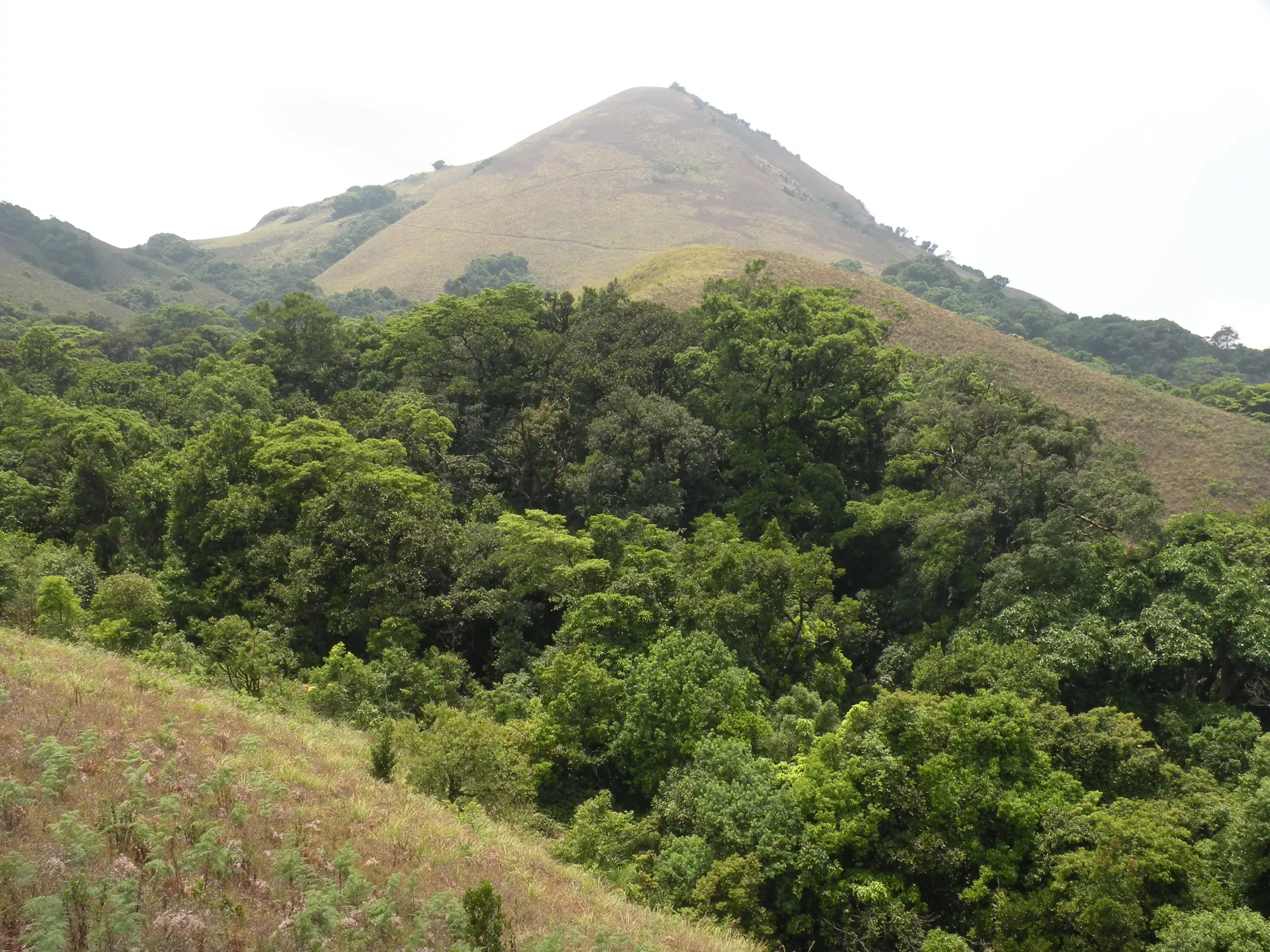
The Forest Department calls it the shortest trek on its list and the most suitable for beginners: a gentle walk of about 4 km each way at around 800 m, through coffee and pepper estates into evergreen forest and grassland, with stream crossings but no big climb.
Photos
On the trail
The route
Day by day
Day 1 · highest point
Kutiyala Anti-Poaching Camp (Kuttandi) → Kutiyala Anti-Poaching Camp (Kuttandi)
800 m → 800 m → 800 m
Ups and downs
Altitude profile
Where it is
Map
Trailhead and high point only — not a recorded track. Use it with a proper map.
Weather
Next 5 days on the trail
Live forecast for the trailhead and the high point. Mountain weather changes fast — check again on the morning you start.
Trailhead · Kutiyala Anti-Poaching Camp, Kuttandi village
at 800 mLoading forecast…
High point · Sharadabbi Falls view point
at 800 mLoading forecast…
Each day: high / low °C · rain mm and chance · snow cm · wind km/h
Weather data: Open-Meteo.comModel forecast, not an official warning. For alerts follow IMD and the local administration.
Plan the trip
How to reach
- Trailhead
- Kutiyala Anti-Poaching Camp, Kuttandi village (nearest town: Virajpet)
- Nearest railway
- Mysuru Junction
- Nearest airport
- Kannur International (Kerala) or Mangaluru International
- By road
- Virajpet (about 17 km to Kutiyala camp, Kuttandi village); Madikeri (about 50 km); Bengaluru (about 270 km)
- Drive
- About 6 h from Bengaluru
Plan the trip
Permits and fees
We could not confirm the current permit rules and fees from an official source. Check with the local forest department or tourism office before you go.
Plan the trip
Cost
Self-guided
₹2,000–4,500
With an operator
₹2,000–4,500
Per person, ex-Bengaluru, for a weekend trip (bus to Virajpet, local taxi to Kuttandi, one homestay night, food). No trek operator was found selling this trail in Oct 2026, so the guided range is the same estimate: the Forest Department provides the trail escort as part of the online booking. The booking fee is shown only after login on Aranya Vihaara and is not included.
Gear
Top picks for this trek
The gear that matters most on this route, chosen from its altitude, season and risks.
 Ad · affiliate link
 Ad · affiliate link
 Ad · affiliate link
 Ad · affiliate link
 Ad · affiliate link
 Ad · affiliate link
 Ad · affiliate link
- Ad · affiliate link
Store buttons open a search on that store, not a product we picked. As an Amazon Associate we earn from qualifying purchases. Photos show the kind of item, not a specific product. Affiliate disclosure
Packing checklist
Matched to this trek: altitude, season, days and the risks on the route.
Packed 0 of 20
Tick each item as it goes in the bag.
Know before you go
Good to know
- Mobile network
- Not confirmed; expect weak or no signal inside the forest.
- Last ATM
- Virajpet
- Nearest hospital
- Government hospital, Virajpet (about 17 km)
- Water
- The Forest Department mentions several streams on the trail, but carry at least 1.5 litres in a steel or non-plastic bottle.
Highlights
- Beginner trek bookable on the Forest Department's Aranya Vihaara portal (Kodagu)
- Walk through Coorg coffee and pepper estates into evergreen and semi-evergreen forest and grassland of the Brahmagiri Wildlife Range
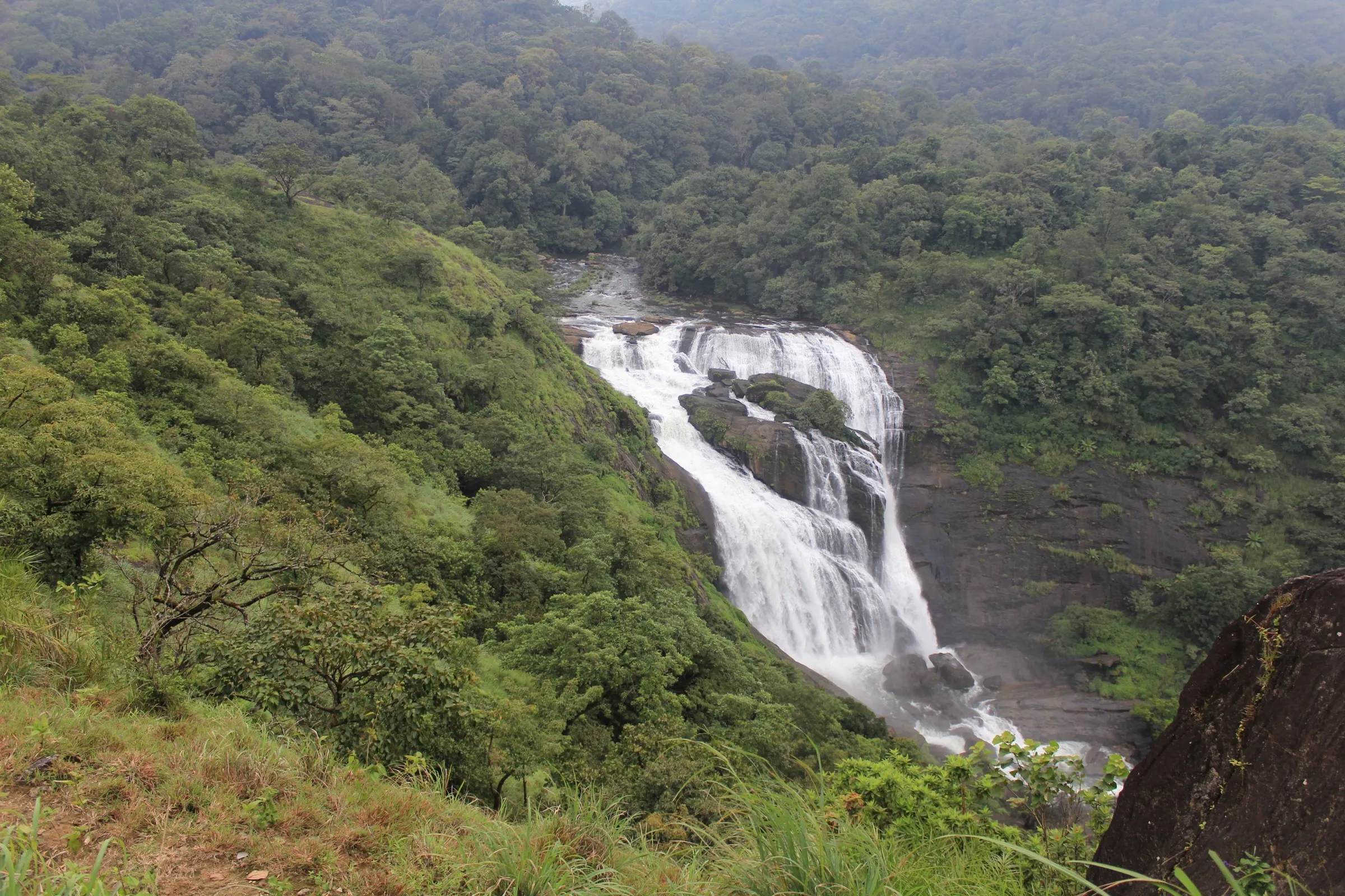
- Ends at a view point over Sharadabbi Falls on the Barapole river, which looks like milky foam from above
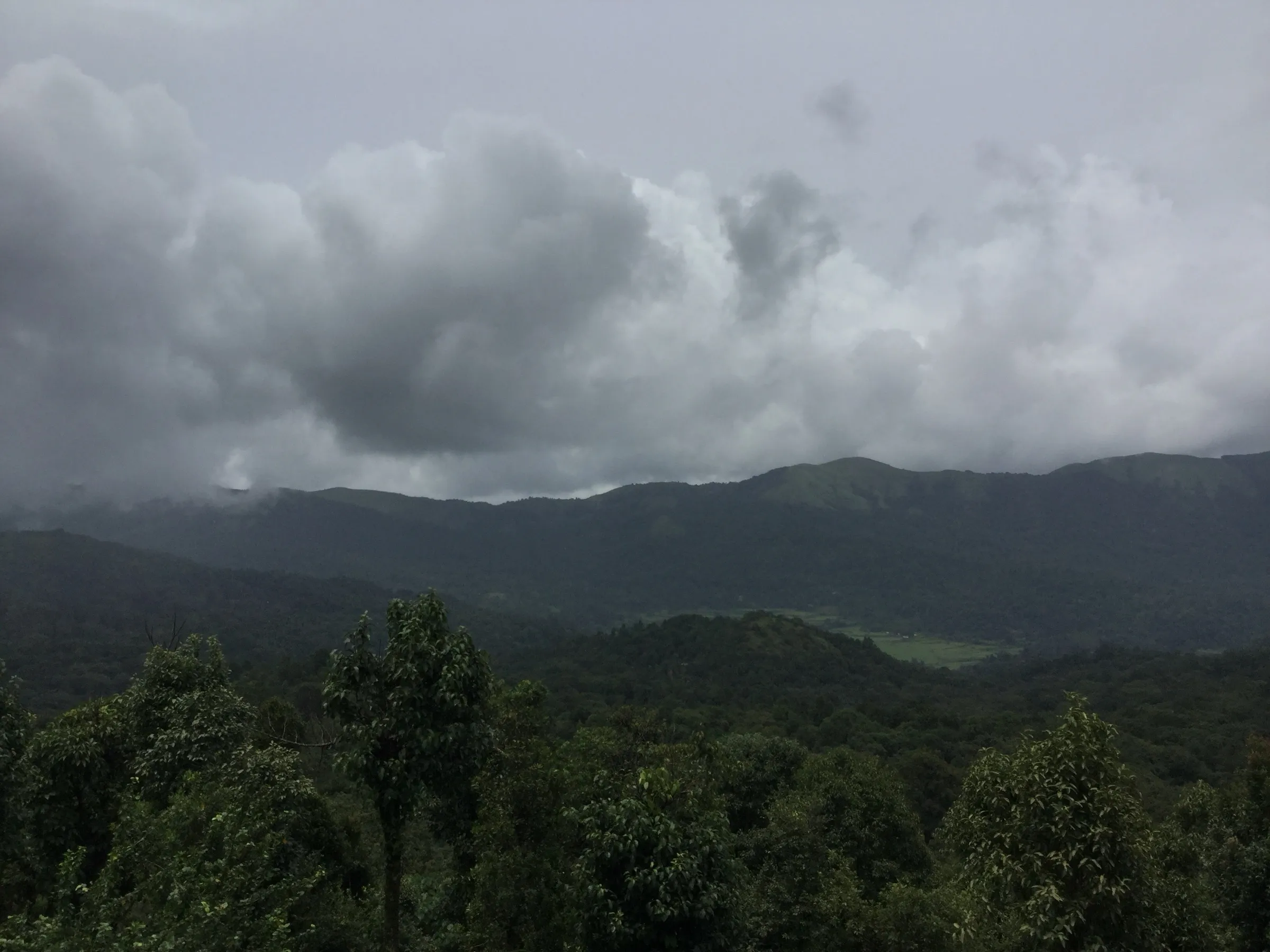
- Clouds drifting over green hills and several forest streams along the way
Risks
- Wildlife area: on 11 May 2026 Karnataka's Chief Wildlife Warden suspended all trekking paths in leopard, tiger, elephant and bear areas until each trail is certified under the trekking SOP. This trail shows as bookable on Aranya Vihaara on 17 Oct 2026; check again before you go.
- Leeches and slippery ground after rain; the trail crosses several streams
- Book only on aranyavihaara.karnataka.gov.in; unauthorised trekking in Karnataka forests is banned and fined
- Plastic is checked at the entry point on Kodagu forest treks; carry food in steel containers
Know before you go
Questions
Where does the Nandigunda (Sharadabbi Falls) trek start?
At the Kutiyala Anti-Poaching Camp in Kuttandi village, about 17 km from Virajpet in Kodagu. The Forest Department's trail ends at the Sharadabbi Falls view point.
How long is the trek?
The Forest Department describes it as a four-kilometre trek and allows 3 hours; its trail map runs about 3.5–4 km from the camp to the view point, so expect about 8 km there and back. The portal's summary field shows 13 km, which does not match its own description and map.
Do I need to book in advance?
Yes. Book on the Karnataka Forest Department's Aranya Vihaara portal (Kodagu district, listed as Kutiyala - Nandigunda-Sharadhabbi). Bookings open up to 30 days ahead and close at least 1 day before. Carry your original ID.
Is it suitable for beginners?
Yes. The Forest Department calls it the shortest trek on its list and the most suitable for beginners, at around 800 m above sea level.
In an emergency
Save these numbers before you lose signal. Tap to call.
- 112All emergenciesIndia’s single emergency number — works in every state
- 108Ambulance
- 1077District disaster control room
You are in
District: KodaguKarnataka
- Nearest hospital
- Government hospital, Virajpet (about 17 km)
- Last ATM
- Virajpet
- Phone network
- Not confirmed; expect weak or no signal inside the forest.
Before you set off
- Tell someone your route and when you will be back.
- Carry a charged phone and a power bank.
- Download an offline map of the route.
- Turn back if the weather turns bad — the mountain will wait.
Questions about Nandigunda
No questions yet. Ask something and trekkers who have done it can answer.
Share your trek photo with #TreksAndTrails
I trekked this
Did Nandigunda look different from this page? Tell us what changed and we will check it.
Where this comes from
Sources
Last reviewed:
- Aranya Vihaara – Kutiyala - Nandigunda-Sharadhabbi (Kodagu, trek id 50) — Karnataka Forest Department (official)
- Karnataka treks permit process — Indiahikes
Photos: A. J. T. Johnsingh, WWF-India and NCF / Wikimedia Commons, CC BY-SA 4.0; L. Shyamal / Wikimedia Commons, CC BY-SA 2.5; Dinesh Valke from Thane, India / Wikimedia Commons, CC BY-SA 2.0