Merankote Patla Betta Trek
Kodagu (Merankote) and Hassan (Patla Betta), Karnataka
Opens without signal on this phone, with the map file and checklist. Saved for offline →
- Max altitude
- 1,196 m
- Days
- 1 day
- Distance
- 8.8 km
- Difficulty
- Moderate
Indiahikes rates it easy to moderate: the climbs are short, but the 3.5 km link from Merankote to Patla Betta has no trail at all, with steep grass descents, thorny scrub, a stream and estate trenches, so you must navigate by GPX or with a local guide.
Photos
On the trail
The route
Day by day
Day 1 · highest point
Mallalli Road diversion near Kumarahalli → Patla Betta parking point (via Merankote and Patla Betta tops)
970 m → 1,196 m → 950 m
Ups and downs
Altitude profile
Where it is
Map
Trailhead and high point only — not a recorded track. Use it with a proper map.
Weather
Next 5 days on the trail
Live forecast for the trailhead and the high point. Mountain weather changes fast — check again on the morning you start.
Trailhead · Mallalli Road diversion near Kumarahalli (Kumaralli)
at 970 mLoading forecast…
High point · Merankote summit (approximate position)
at 1,196 mLoading forecast…
Each day: high / low °C · rain mm and chance · snow cm · wind km/h
Weather data: Open-Meteo.comModel forecast, not an official warning. For alerts follow IMD and the local administration.
Plan the trip
How to reach
- Trailhead
- Mallalli Road diversion near Kumarahalli (Kumaralli) (nearest town: Somwarpet)
- Nearest railway
- Hassan Junction or Mysuru Junction
- Nearest airport
- Mangaluru International or Kempegowda International, Bengaluru
- By road
- Somwarpet (about 22 km to the start; private bus to Kumaralli around 7:30 am, auto about ₹600 per vehicle); Bengaluru (about 280 km; overnight KSRTC and private buses to Somwarpet)
- Drive
- About 6 h from Bengaluru
Plan the trip
Permits and fees
We could not confirm the current permit rules and fees from an official source. Check with the local forest department or tourism office before you go.
Plan the trip
Cost
Self-guided
₹2,000–4,000
With an operator
₹2,000–4,000
Per person, ex-Somwarpet/Bengaluru bus, estimate only: no operator sells a guided package for this trek. Indiahikes quotes a local guide at ₹1,500 per group and an auto from Somwarpet at about ₹600 per vehicle; add the overnight bus from Bengaluru, a homestay night in Kumaralli and food. The 'guided' range is the same trip with a hired local guide split across a small group.
Gear
Top picks for this trek
The gear that matters most on this route, chosen from its altitude, season and risks.
 Ad · affiliate link
 Ad · affiliate link
 Ad · affiliate link
 Ad · affiliate link
 Ad · affiliate link
 Ad · affiliate link
 Ad · affiliate link
- Ad · affiliate link
Store buttons open a search on that store, not a product we picked. As an Amazon Associate we earn from qualifying purchases. Photos show the kind of item, not a specific product. Affiliate disclosure
Packing checklist
Matched to this trek: altitude, season, days and the risks on the route.
Packed 0 of 18
Tick each item as it goes in the bag.
Know before you go
Good to know
- Mobile network
- Not confirmed; expect weak or no signal in the forest between the two hills. Download the GPX for offline use.
- Last ATM
- Somwarpet
- Nearest hospital
- Government hospital, Somwarpet (about 22 km)
- Water
- A few streams and a small pond between the hills, but Indiahikes says they may not be good enough to fill bottles; carry 2 litres and a packed lunch.
Highlights
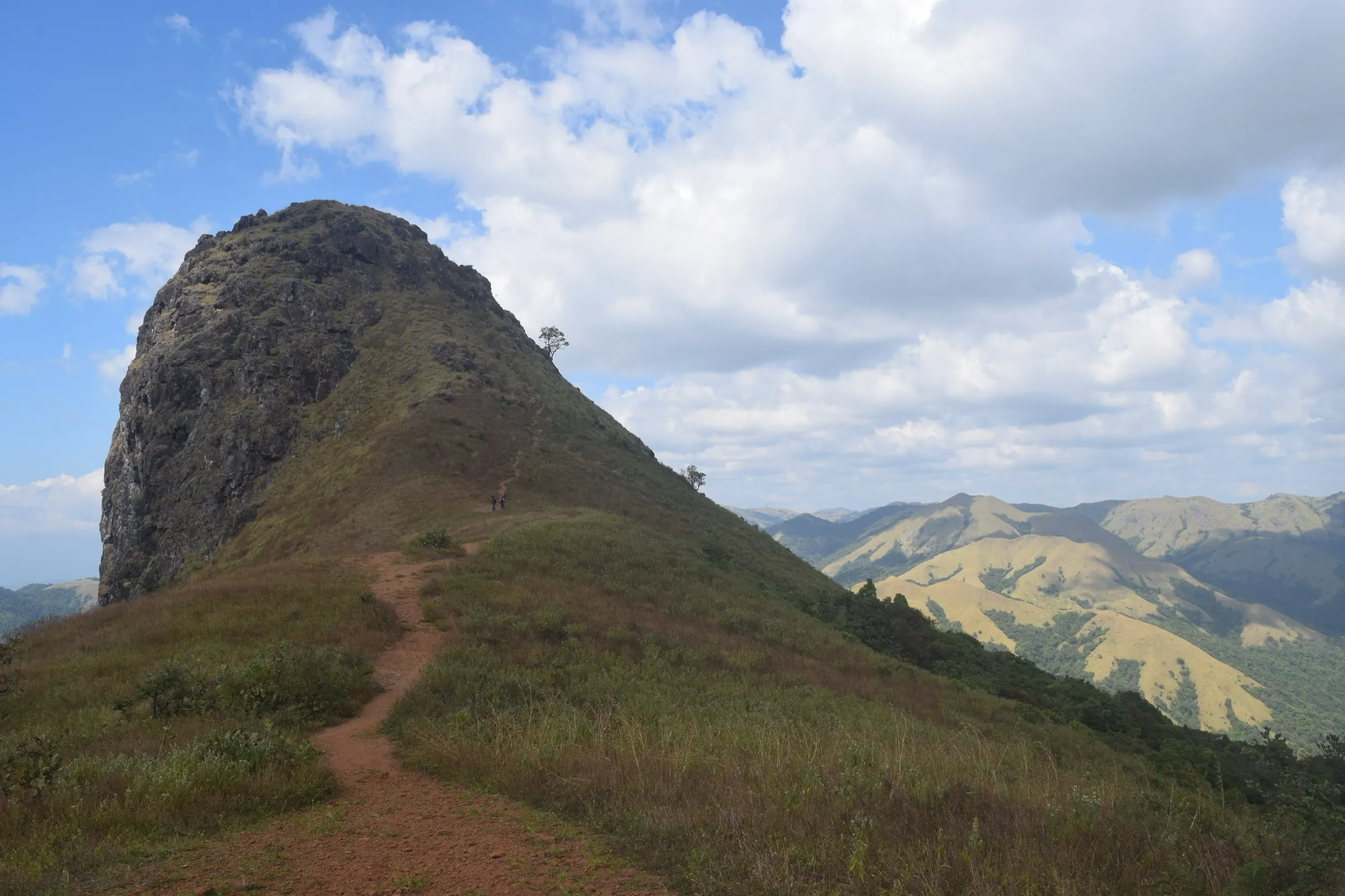
- Two hilltops in one day: the windy grassland ridge of Merankote (about 1,196 m) and the Patla Betta viewpoint (about 1,099 m)
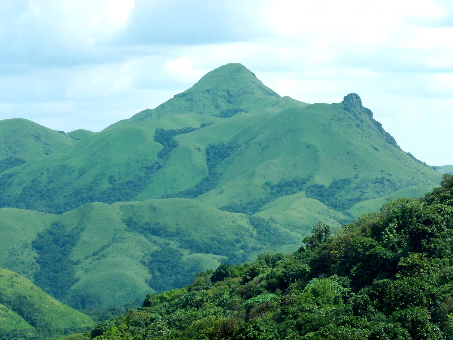
- Shola forest and grassland the whole way, with Kumara Parvatha on the skyline
- A quiet pond in a forest estate halfway between the hills
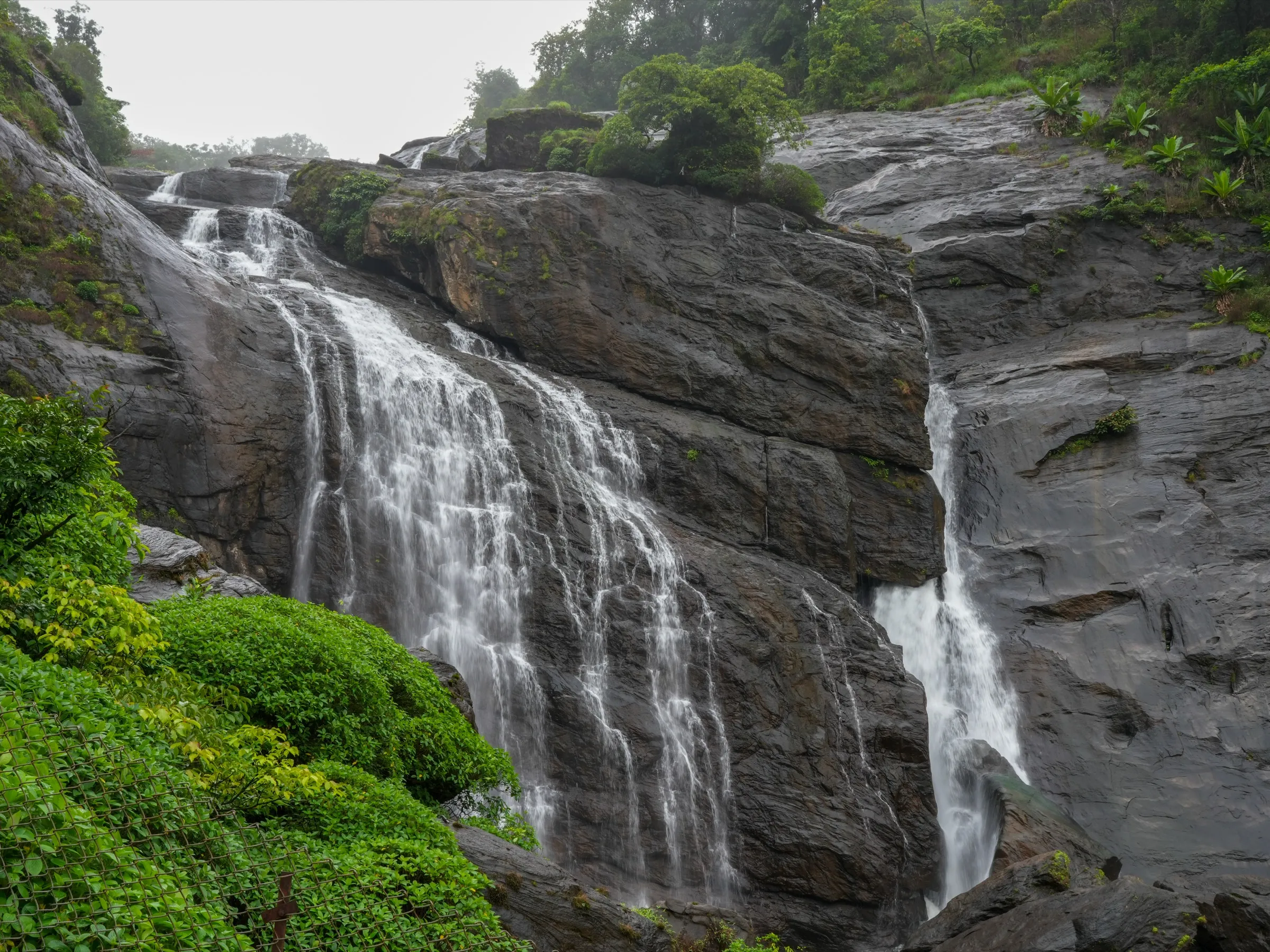
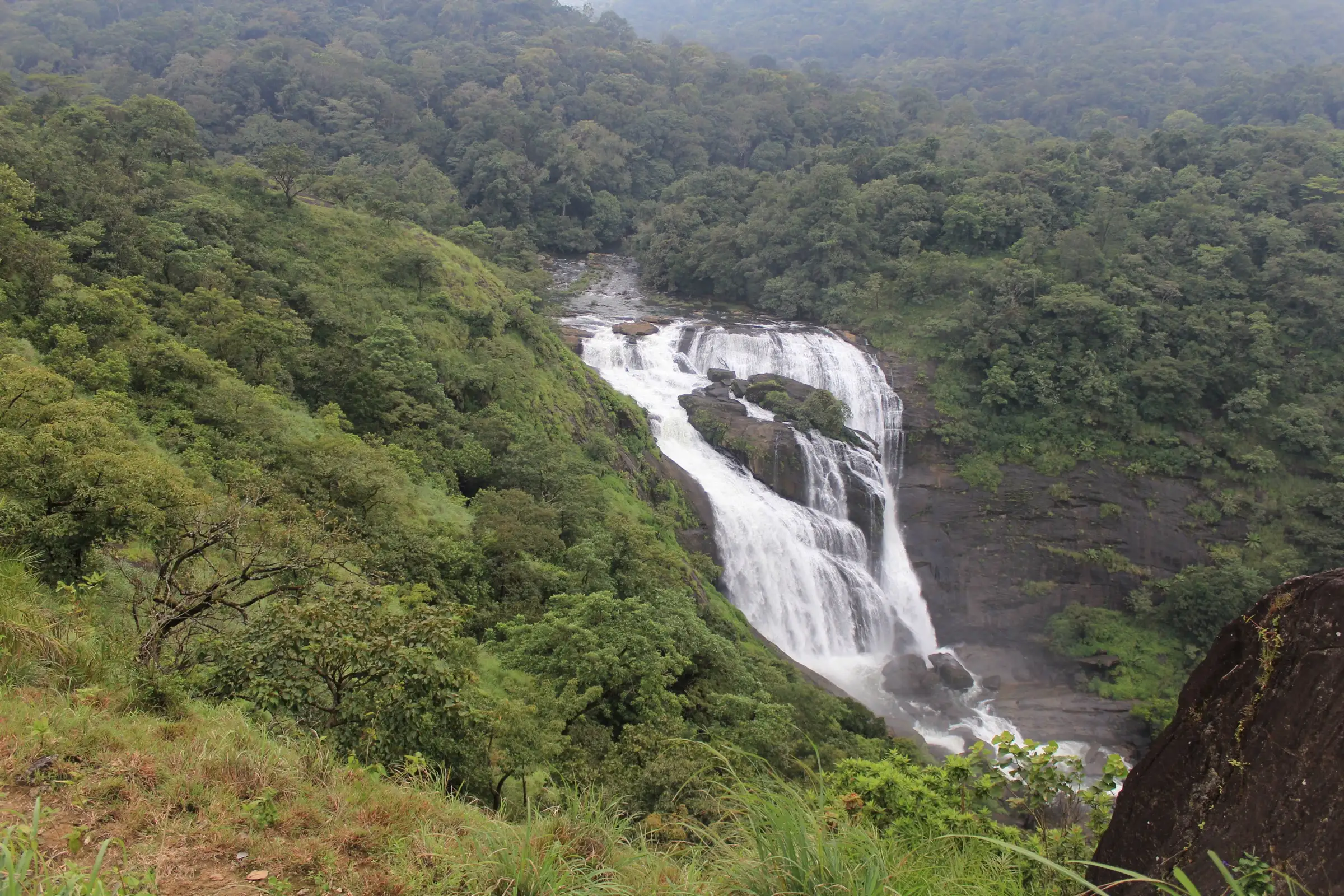
- From Patla Betta, views over Kote Betta, Mallalli Falls and, on clear days, the Baba Budangiri range
- Good birding: Indiahikes members logged black bulbuls, blue-tailed bee-eaters and orange minivets
Risks
- The Merankote to Patla Betta section has no trail; trekkers who lose the line end up in thorny scrub. Follow a GPX closely and take a local guide.
- Monsoon (June to September): slippery ridge, swollen streams that can block the traverse (seen in late September 2025) and many leeches.
- From March the open grassland is hot and exposed; Indiahikes does not recommend the trek after March.
- Karnataka's Chief Wildlife Warden suspended trekking paths in areas with leopards, tigers, elephants or bears on 11 May 2026 'until further orders'. Indiahikes says this route lies outside Pushpagiri Wildlife Sanctuary and needs no permit, but check locally before you go.
- Patla Betta itself has a jeep track to near the top and draws drive-up visitors; litter and broken glass have been reported on the summit.
Know before you go
Questions
Do I need a permit for the Merankote-Patla Betta trek?
Indiahikes says no permit is needed: both hills are close to Pushpagiri Wildlife Sanctuary but lie outside the protected area. The trek is not on the Forest Department's Aranya Vihaara booking portal. Rules changed across Karnataka in 2025-26, so confirm locally.
How long and how hard is it?
The full traverse is about 8.8-9 km and takes most of a day (start by 8 am, finish around 4 pm). The climbs are easy to moderate; the difficulty is navigation on the trail-less middle section. Merankote alone is 5.2 km return and Patla Betta alone is 3.2 km return from its parking point.
Can I do it alone?
Merankote alone or Patla Betta alone, yes. For the full traverse Indiahikes strongly recommends a small group with a local guide (about ₹1,500 per group, arranged through Kumaralli homestays).
When is the best time?
November to February. Early November is green with the rains gone; winter turns the grassland golden. Avoid the traverse in the monsoon and after March, when the open slopes get very hot.
How do I get there from Bengaluru?
Take an overnight bus to Somwarpet (about 280 km). A private bus leaves Somwarpet for Kumaralli around 7:30 am and returns at 4 pm, or take an auto for about ₹600. By car it is about 6 hours from Bengaluru.
In an emergency
Save these numbers before you lose signal. Tap to call.
- 112All emergenciesIndia’s single emergency number — works in every state
- 108Ambulance
- 1077District disaster control room
You are in
District: Kodagu (Merankote) and Hassan (Patla Betta)Karnataka
- Nearest hospital
- Government hospital, Somwarpet (about 22 km)
- Last ATM
- Somwarpet
- Phone network
- Not confirmed; expect weak or no signal in the forest between the two hills. Download the GPX for offline use.
Before you set off
- Tell someone your route and when you will be back.
- Carry a charged phone and a power bank.
- Download an offline map of the route.
- Turn back if the weather turns bad — the mountain will wait.
Questions about Merankote Patla Betta
No questions yet. Ask something and trekkers who have done it can answer.
Share your trek photo with #TreksAndTrails
I trekked this
Did Merankote Patla Betta look different from this page? Tell us what changed and we will check it.
Where this comes from
Sources
Last reviewed:
- A Complete Guide to the Merankote-Patla Betta Trek — Indiahikes
- Patla betta viewpoint in Sakaleshpura — eNidhi India Travel Blog
Photos: Shanmugamp7, CC BY-SA 4.0; Shanmugamp7, CC BY-SA 4.0