Miyar Valley Trek
Lahaul and Spiti, Himachal Pradesh
Opens without signal on this phone, with the map file and checklist. Saved for offline →
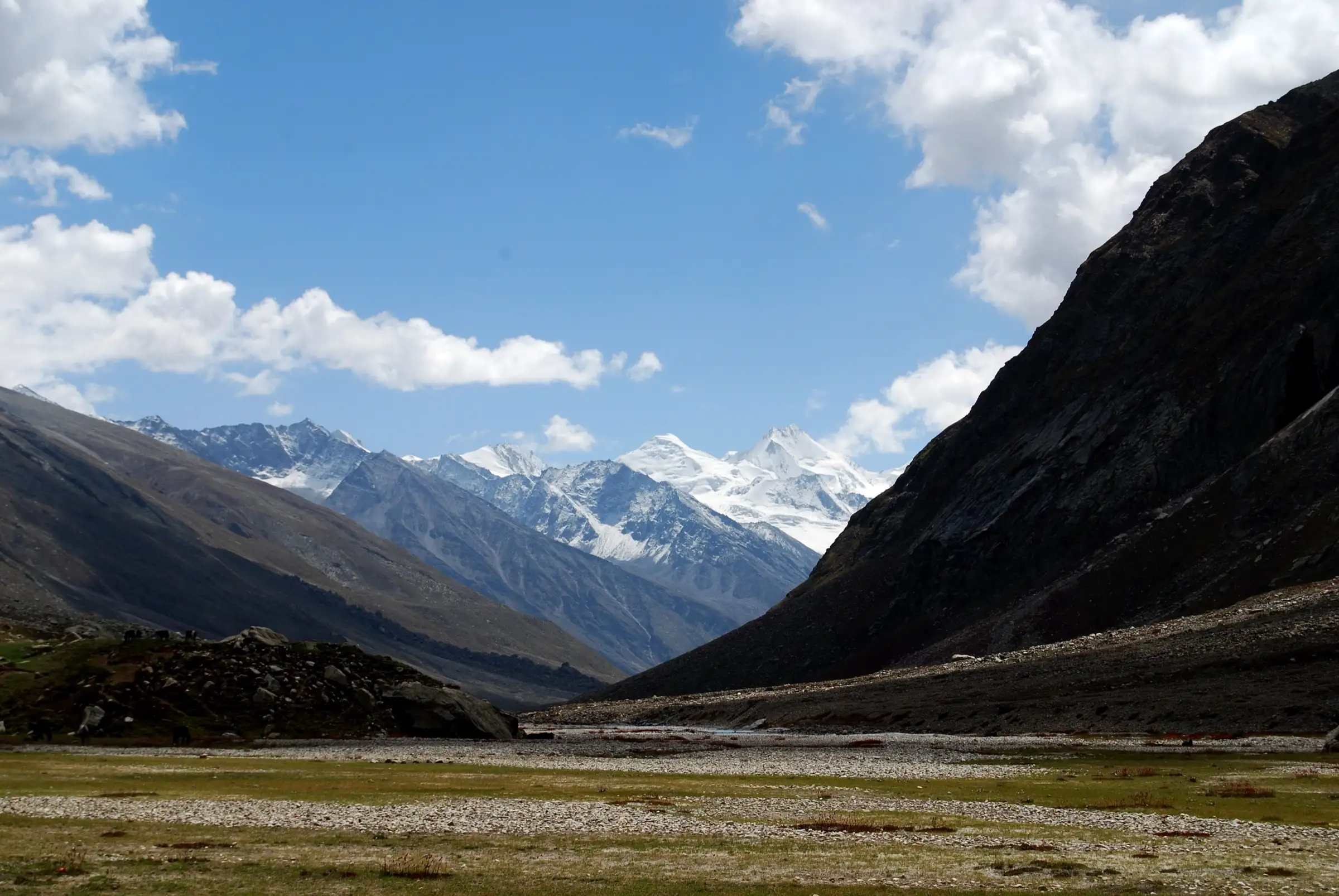
- Max altitude
- 4,024 m
- Days
- 7 days
- Distance
- 61.2 km
- Difficulty
- Moderate
Little height gain (about 3,525 m to 4,024 m) and no technical sections, but six long days of 7.5-12.5 km above 3,500 m, boulder fields and several icy glacial stream crossings that are waded barefoot.
Photos
On the trail
The route
Day by day
Day 1
Manali → Khanjer (drive via Atal Tunnel, Tandi and Udaipur)
2,050 m → 3,525 m
Day 2
Khanjer → Yolling
3,525 m → 3,763 m
Day 3
Yolling → Zardong
3,763 m → 3,861 m
Day 4 · highest point
Zardong → Palpu (via Kesar Yon Choo)
3,861 m → 4,024 m → 3,896 m
Day 5
Palpu → Gompa
3,896 m → 3,910 m
Day 6
Gompa → Tharang
3,910 m → 3,740 m
Day 7
Tharang → Khanjer (drive to Manali)
3,740 m → 2,050 m
Ups and downs
Altitude profile
Where it is
Map
Trailhead and high point only — not a recorded track. Use it with a proper map.
Weather
Next 5 days on the trail
Live forecast for the trailhead and the high point. Mountain weather changes fast — check again on the morning you start.
Trailhead · Khanjer
at 3,525 mLoading forecast…
High point · Kesar Yon Choo (ponds below the Miyar Glacier)
at 4,024 mLoading forecast…
Each day: high / low °C · rain mm and chance · snow cm · wind km/h
Weather data: Open-Meteo.comModel forecast, not an official warning. For alerts follow IMD and the local administration.
Plan the trip
How to reach
- Trailhead
- Khanjer (nearest town: Udaipur (Lahaul))
- Nearest railway
- Chandigarh (then bus or taxi to Manali)
- Nearest airport
- Bhuntar (Kullu-Manali) Airport; Chandigarh and Delhi have more flights
- By road
- Manali (about 140 km, 5-6 hours, via Atal Tunnel, Sissu, Tandi and Udaipur; the road ends at Khanjer, about 31 km beyond Udaipur)
- Drive
- About 6 h from Manali
Plan the trip
Permits and fees
We could not confirm the current permit rules and fees from an official source. Check with the local forest department or tourism office before you go.
Plan the trip
Cost
Self-guided
₹9,000–16,000
With an operator
₹16,999–19,500
Per person, ex-Manali. Guided prices published October 2026: Indiahikes ₹14,950 trek fee + ₹3,500 Manali-Khanjer-Manali transport; Bikat Adventures ₹15,500 + 5% GST ex-Khanjer plus ₹3,000 Manali transport; Himalayan Hikers ₹17,500 + 5% GST ex-Manali; Himtrek ₹16,999 + 5% GST ex-Manali; TrekUp India ₹18,450 + 5% GST. Self-guided is an estimate: a shared or hired taxi Manali-Khanjer and back, a homestay night, a local guide and porter or mule, tent and stove hire, and food for six days.
Gear
Top picks for this trek
The gear that matters most on this route, chosen from its altitude, season and risks.
 Ad · affiliate link
 Ad · affiliate link
 Ad · affiliate link
 Ad · affiliate link
 Ad · affiliate link
 Ad · affiliate link
 Ad · affiliate link
 Ad · affiliate link
Store buttons open a search on that store, not a product we picked. As an Amazon Associate we earn from qualifying purchases. Photos show the kind of item, not a specific product. Affiliate disclosure
Packing checklist
Matched to this trek: altitude, season, days and the risks on the route.
Packed 0 of 35
Nights near 4,024 m can drop close to freezing even in summer. Pack one more warm layer than you think.
Tick each item as it goes in the bag.
Know before you go
Good to know
- Mobile network
- Good coverage in Manali; operators report no mobile signal at any campsite beyond Khanjer.
- Last ATM
- Manali (Bikat Adventures says the last ATMs are in Manali); carry cash.
- Nearest hospital
- Community Health Centre, Udaipur (about 31 km from Khanjer) for first care; Manali for better facilities.
- Water
- Glacial streams and the Miyar Nala run beside almost every camp. Some side streams dry up after August, so carry at least 2 litres on the Kesar Yon Choo day. Treat all water.
Highlights
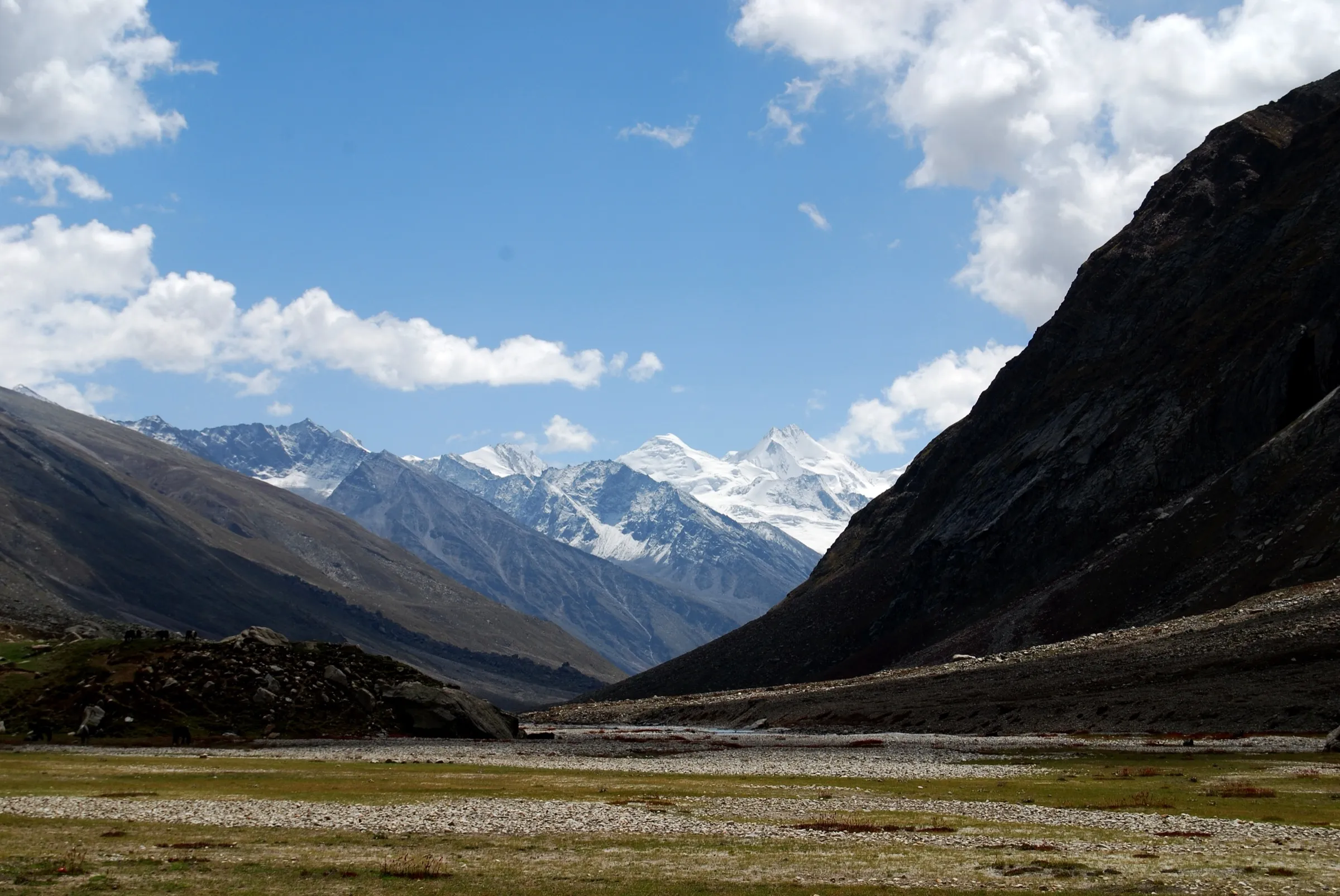
- Days of near-level walking across wide alpine meadows and the braided outwash plain of the Miyar Nala, full of wildflowers in July and August
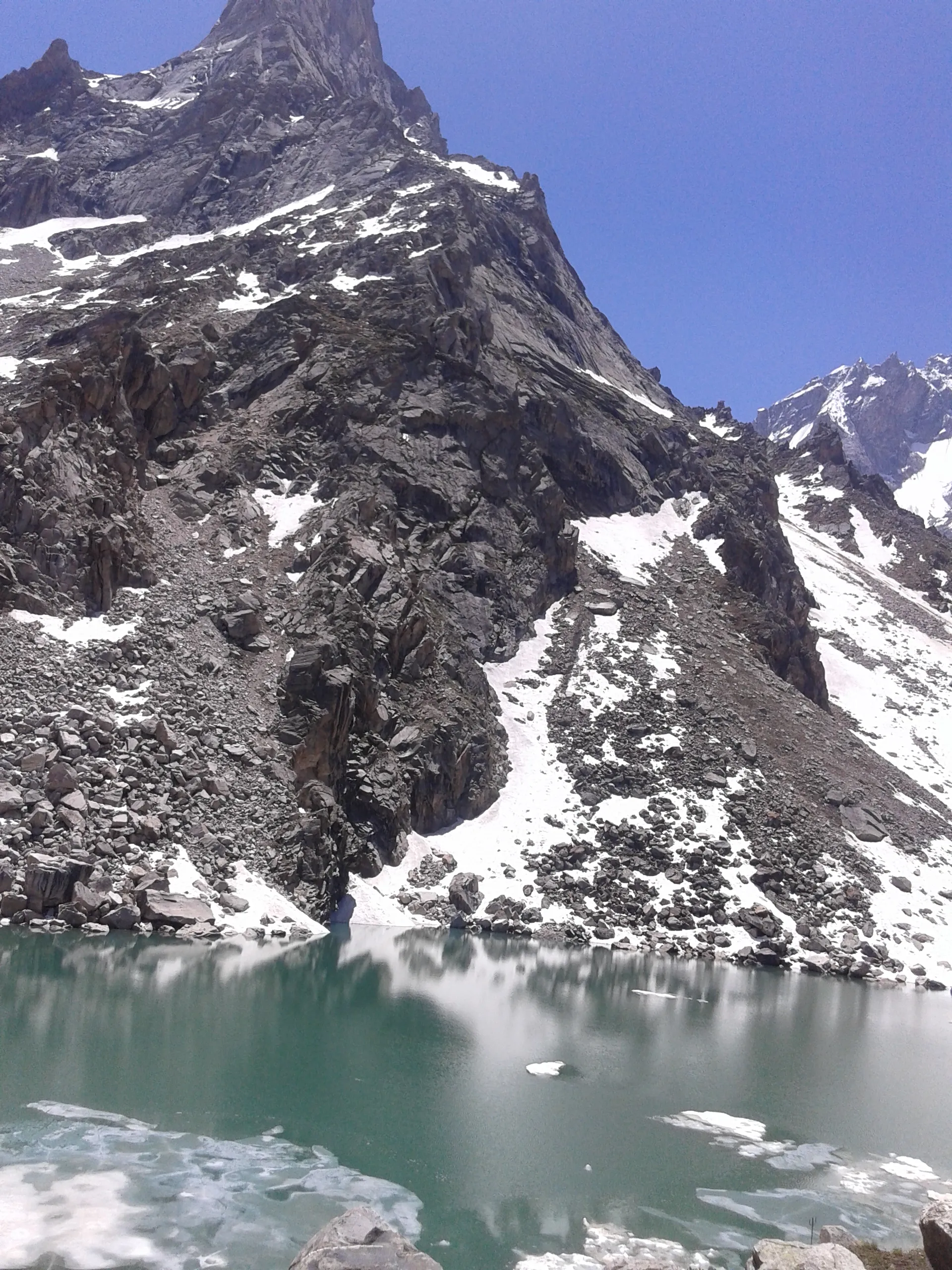
- Kesar Yon Choo, a meadow beside small icy ponds just below the snout of the Miyar Glacier, with an optional walk to the glacier snout
- Granite walls and peaks of the upper valley, with Menthosa and the Tharang massif around the trail
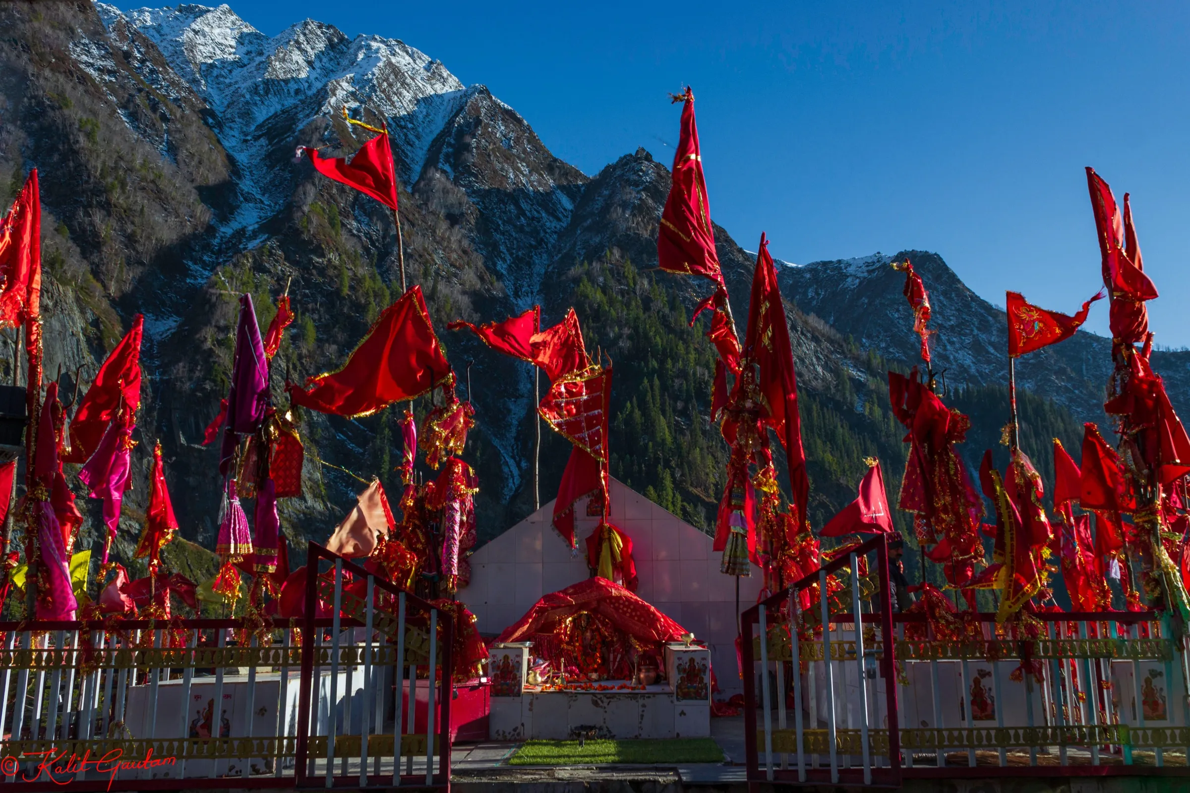
- Khanjer, a Lahauli village at about 3,525 m reached by suspension bridge over the Miyar Nala, and Buddhist shrines along the old Lahaul-Zanskar route over the Kang La
Risks
- Several glacial stream crossings, including one just before Palpu and two more between Palpu and Kesar Yon Choo; currents are strong and rise after rain or in the afternoon. Operators use human chains.
- The trek starts high, at about 3,525 m, and every camp is above 3,700 m, so altitude sickness is a real risk in the first two days.
- Remote valley with limited exits and no mobile signal; an injured trekker must be walked back to Khanjer and driven to Udaipur.
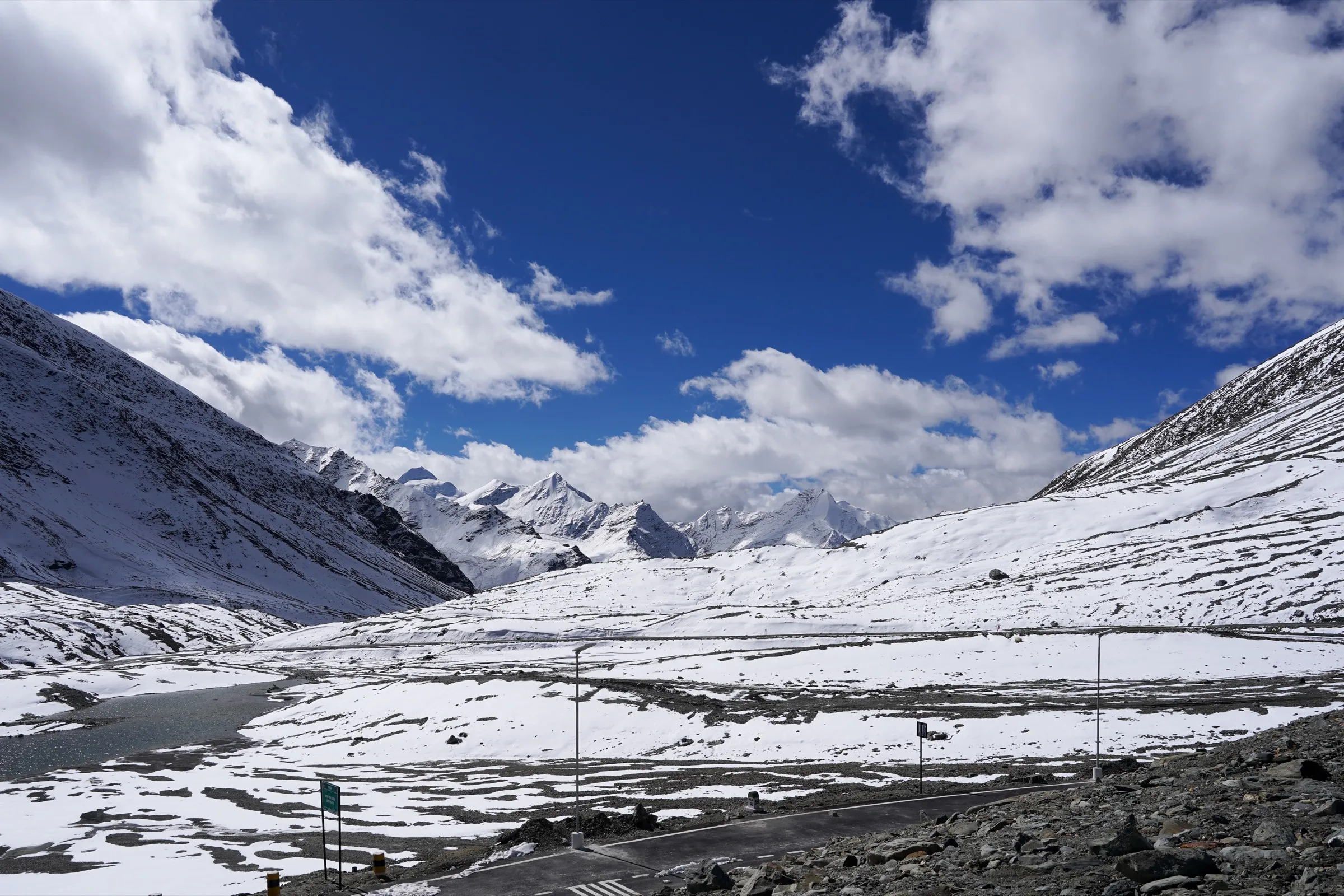
- Heavy snow from October; early-season (June) trekkers may meet hard snow near the glacier. Bikat and TrekUp India also sell May and October departures, when it is colder and snow is likely.
- Since July 2024 the Himachal tourism department has not allowed children under 14 on this trek (reported by Indiahikes).
- Since June 2026 the Lahaul-Spiti DDMA requires prior registration with an authorised officer and a check-out on return; solo trekking is discouraged.
Know before you go
Questions
When is the best time for the Miyar Valley trek?
Mid-June to late September. June-July is drier with some snow patches near the glacier; August-September is the wildflower and monsoon season, with cold nights near 0 °C. Some operators also run May and October departures. The valley is snowbound in winter.
How difficult is the Miyar Valley trek?
Operators rate it moderate. Total height gain is small, but the trek covers about 60 km in six walking days of 7-8 hours, all above 3,500 m, with boulder sections and barefoot crossings of icy glacial streams.
Do I need a permit for Miyar Valley?
Operators include the forest permit and camping fees in their packages and ask for photo ID and a medical certificate. Since June 2026 the Lahaul-Spiti DDMA also requires all trekkers to register their route and team with an authorised officer before starting and to check out on return. We could not confirm an official fee, so check locally in Udaipur or Keylong.
How do I reach Khanjer, the base village?
Khanjer is about 140 km from Manali, a 5-6 hour drive through the Atal Tunnel, Tandi and Udaipur. The road ends at Khanjer; operators pick up from Manali, usually from Beas Bridge early in the morning.
Is there mobile network on the trek?
No. Operators report no signal at any campsite beyond Khanjer, and the last ATMs are in Manali.
In an emergency
Save these numbers before you lose signal. Tap to call.
- 112All emergenciesIndia’s single emergency number — works in every state
- 108Ambulance
- 1077District disaster control room
You are in
District: Lahaul and SpitiHimachal Pradesh
- Nearest hospital
- Community Health Centre, Udaipur (about 31 km from Khanjer) for first care; Manali for better facilities.
- Last ATM
- Manali (Bikat Adventures says the last ATMs are in Manali); carry cash.
- Phone network
- Good coverage in Manali; operators report no mobile signal at any campsite beyond Khanjer.
Before you set off
- Tell someone your route and when you will be back.
- Carry a charged phone and a power bank.
- Download an offline map of the route.
- Turn back if the weather turns bad — the mountain will wait.
Questions about Miyar Valley
No questions yet. Ask something and trekkers who have done it can answer.
Share your trek photo with #TreksAndTrails
I trekked this
Did Miyar Valley look different from this page? Tell us what changed and we will check it.
Where this comes from
Sources
Last reviewed:
- Miyar Valley Trek — Indiahikes
- Miyar Valley Trek — Bikat Adventures
- Miyar Valley Trek — Himalayan Hikers
- Miyar Valley Trek — Himtrek
- Miyar Valley Trek — TrekUp India
- Trekkers must register before hitting Lahaul-Spiti trails now (25 Jun 2026) — The Tribune
- Winter sets in, trekking, climbing banned in Lahaul-Spiti dist (27 Nov 2024) — The Tribune
Photos: Michael Scalet, CC BY-SA 2.0; Timothy A. Gonsalves, CC BY-SA 4.0